The best road cycling routes around Munweiler
4.5
(411)
11,290
riders
147
rides
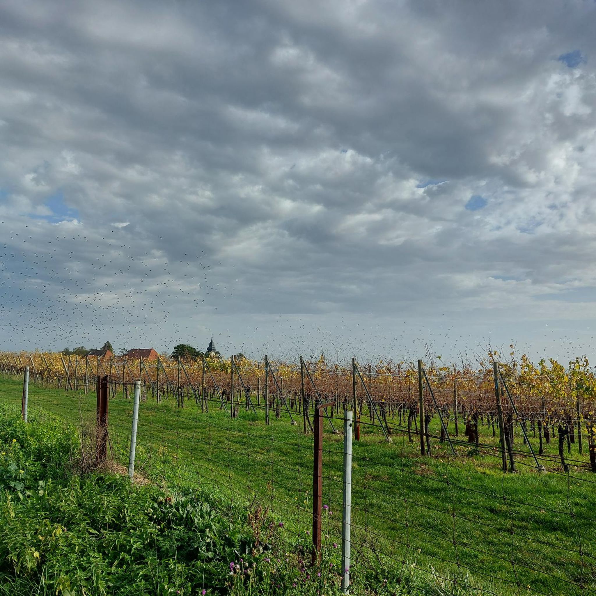
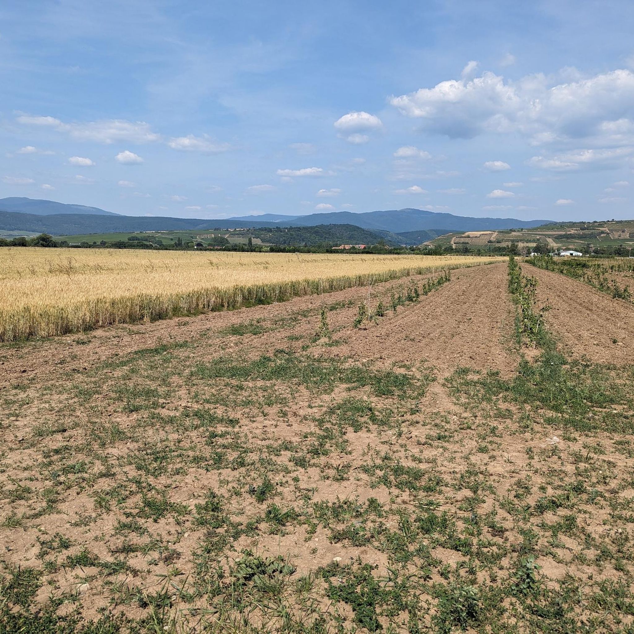
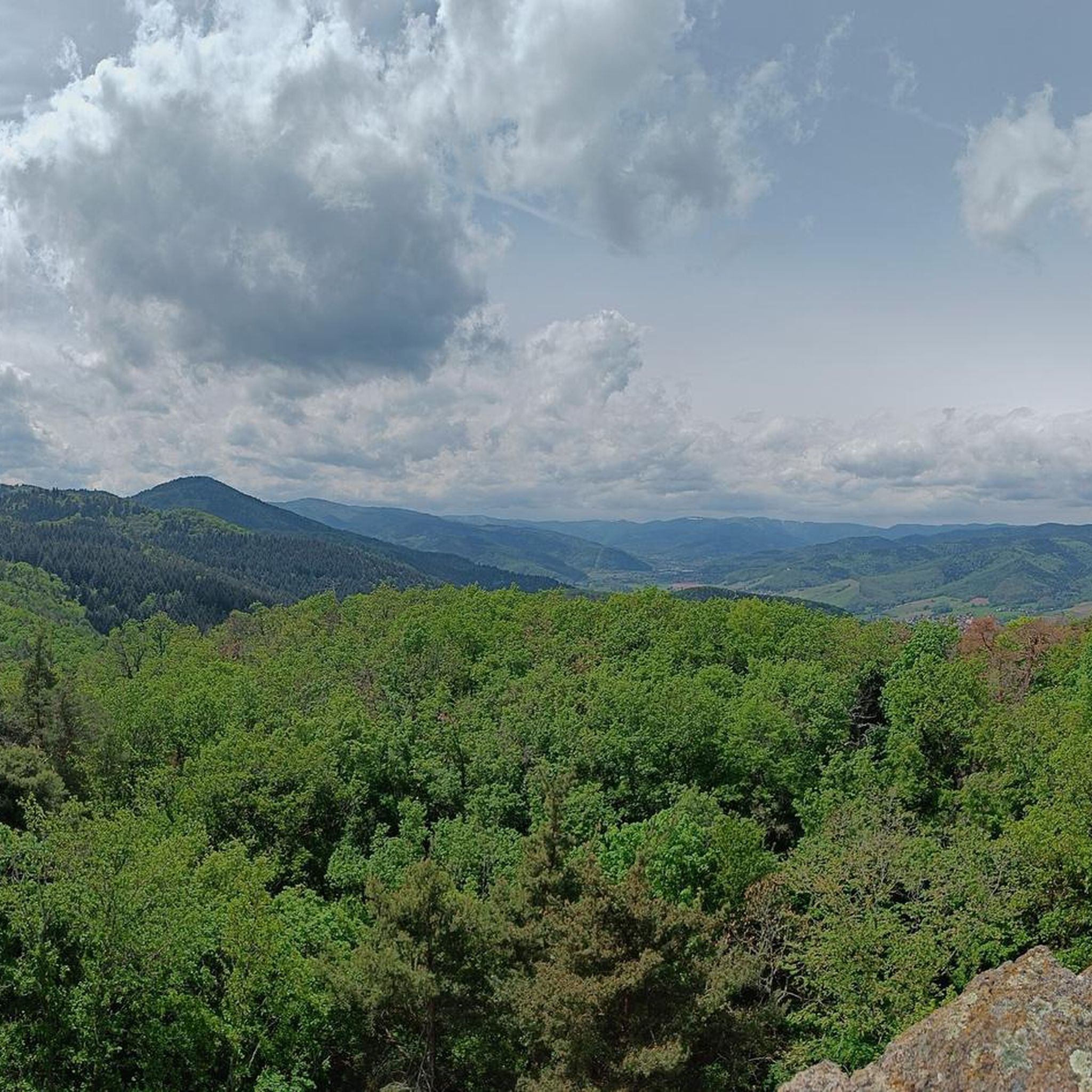
Road cycling around Munweiler offers a diverse landscape characterized by the plains of Alsace, interspersed with vineyards and the foothills of the Vosges mountains. The region provides varied terrain, from flat sections suitable for relaxed rides to more demanding ascents through mountain passes. Road cyclists can expect routes that traverse agricultural areas, historic towns, and natural features like the Grand Ballon.
Best road cycling routes around Munweiler
- The most popular road cycling route is Bannstein Pass – Grand Ballon loop…
Last updated: July 5, 2026
4.8
(43)
1,338
riders
86.8km
04:41
1,540m
1,540m
Hard road ride. Very good fitness required. Some segments of this route may be unpaved and difficult to ride.
24
riders
35.4km
01:33
200m
200m
Moderate road ride. Great for any fitness level. Some segments of this route may be unpaved and difficult to ride.

Sign up for free
4.5
(2)
25
riders
45.5km
01:56
280m
280m
Moderate road ride. Great for any fitness level. Some segments of this route may be unpaved and difficult to ride.
3.5
(2)
27
riders
Easy road ride. Great for any fitness level. Mostly well-paved surfaces and easy to ride.
4.5
(2)
27
riders
56.1km
02:18
290m
290m
Moderate road ride. Good fitness required. Some segments of this route may be unpaved and difficult to ride.
Get access to more routes and recommendations from other explorers.
Sign up for free
Already have an account?
Our route recommendations are based on thousands of hikes, rides, and runs completed by other people on komoot.
Start today with a free account
Your next adventure awaits.
Login or Signup
Tips from the Community

Met the mayor of the town today when I wanted to refill my bottles, he told me not to drink the water. This also applies to the other wells in town. I drank two bottles of it, everything was fine.
0
0

The bridge in the town of Merxheim over the river Ill is worth a short stop for a photo, or simply to admire. The Ill is 217 km long in total, originates in the Jura, flows through the departments of Haut Rhin, Bas Rhin and flows as a left tributary into the Rhine near Erstein, which is located south of Strasbourg.
0
0


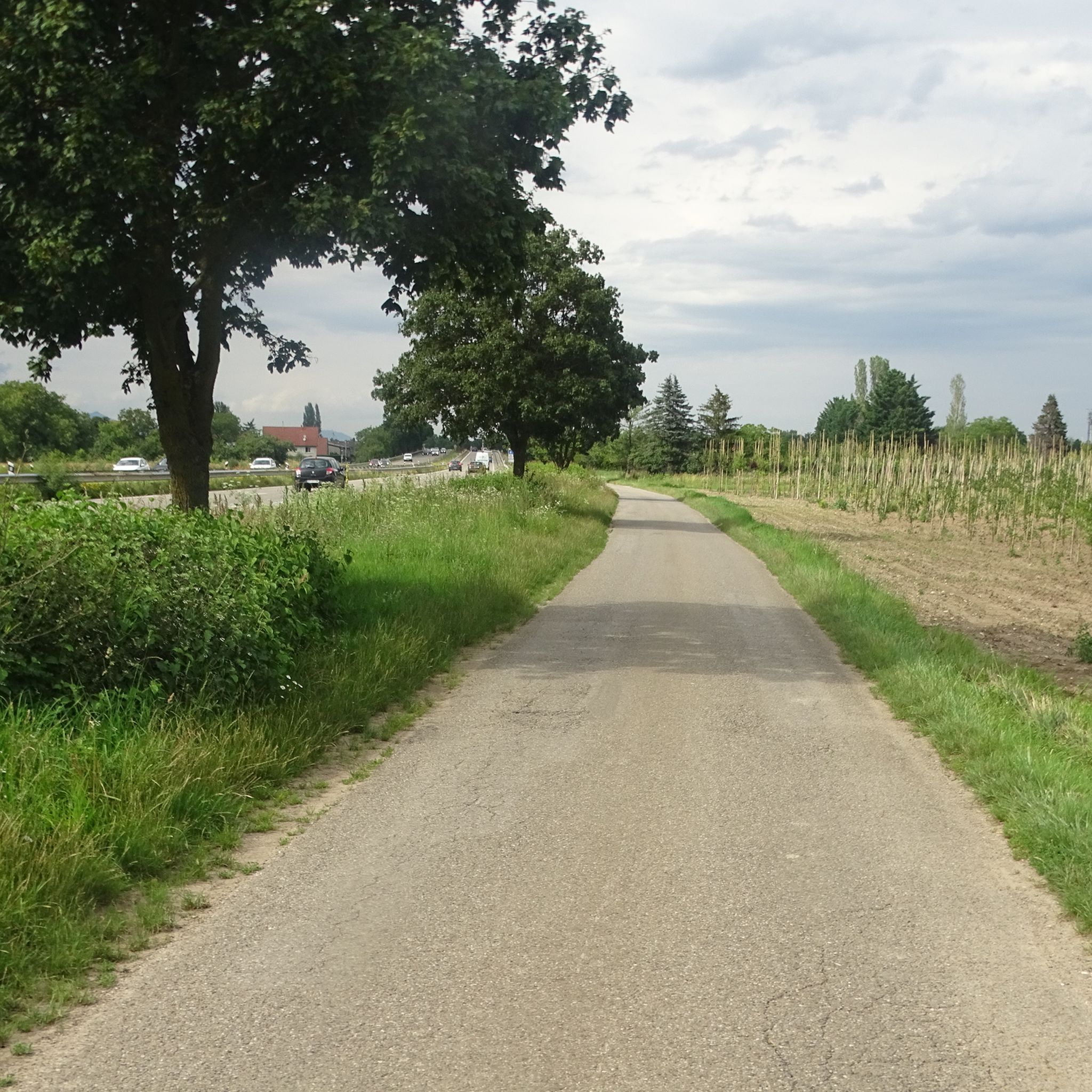
A pleasant section to ride, with moderate climbs and little traffic. There were a few racing cyclists on the road.
0
0

The artificially created, yet idyllically situated "Lac de la Lauch" lake is featured in the komoot system not only for joggers, but also as a highlight for various sports, including hikers, with many more photos uploaded there. If you're interested, see =>>https://www.komoot.com/de-de/highlight/308200
0
0
No, swimming or bathing is not permitted in Lac de la Lauch. Located in the Vallée de la Lauch, Lac de la Lauch is a reservoir fed by the Lauchbach stream, which flows in and out. It serves as a source of drinking water. The valley, with its meltwater streams running along the mountain slopes, is relatively rich in water and features shady forests.
0
0

The Langenstein menhir (a 4-meter-high long stone) was erected in 1904 by a Soultzmatt industrialist, who recognized this block as an overturned menhir. Legend tells that on full moon nights, fairies, or White Ladies, come to dance around the Langenstein. During this ceremony, the stone is said to begin spinning!
0
0

Frequently Asked Questions
What kind of road cycling terrain can I expect around Munweiler?
Road cycling around Munweiler offers a diverse landscape, characterized by the plains of Alsace, interspersed with vineyards and the foothills of the Vosges mountains. You'll find varied terrain, from flat sections suitable for relaxed rides to more demanding ascents through mountain passes like the Grand Ballon.
How many road cycling routes are available in the Munweiler area?
There are over 130 road cycling routes available around Munweiler, catering to various skill levels. This includes approximately 25 easy routes, 86 moderate routes, and 24 difficult routes for more experienced cyclists.
Are there any challenging climbs for experienced road cyclists near Munweiler?
Yes, for ambitious riders seeking an adrenaline rush, the region offers challenging ascents. A notable example is the climb to the Ascent from Soultz to Col du Grand Ballon, which is part of the difficult Bannstein Pass – Grand Ballon loop from Rouffach route.
What are some scenic highlights or points of interest along the road cycling routes?
Along your rides, you can discover various points of interest. Consider visiting the charming settlement of Pfaffenheim or Gueberschwihr. For natural beauty, look out for the Panoramic view from the vineyards or the View of the Vallée Noble.
When is the best time of year for road cycling in Munweiler?
Spring and autumn are generally considered the best times for road cycling in the region, as the weather is pleasantly mild and the landscape is vibrant. While summer can be strenuous due to high temperatures, winter often makes road cycling difficult due to snow and ice, especially in higher elevations.
Are there any family-friendly road cycling routes in the Munweiler area?
While specific family-friendly routes are not detailed, the region offers a range of easy and moderate routes that could be suitable for families, particularly those traversing the flatter sections of the Alsace Plain. Routes like the Bike path to Ensisheim – Beautiful blue metal bridge loop from Rouffach are rated as easy and cover shorter distances.
What do other cyclists say about road cycling in Munweiler?
The road cycling routes in Munweiler are highly rated by the komoot community, with an average score of 4.5 stars from over 400 reviews. More than 11,000 road cyclists have used komoot to explore the varied terrain, often praising the mix of vineyard-lined roads, open plains, and challenging mountain passes.
Can I find routes that pass through historical towns or villages?
Yes, many routes navigate through local towns and villages, offering a chance to experience the region's character. For example, the Eguisheim – Rouffach Old Town loop from Rouffach takes you through historic areas.
Are there any routes that focus on the Alsace Plain?
Absolutely. Many routes explore the Alsace Plain, offering a mix of open landscapes and local towns. The Ensisheim – Ungersheim - Enisheim loop from Niederentzen is a popular moderate route that navigates through this area.
Are there any natural monuments to see while road cycling?
Yes, the region features several natural monuments. You might encounter the Langenstein Menhir, the Grossfels Rocks, or the Cuckoo Rock (Kuckuckstein) on some of the routes.
Are there routes suitable for beginners in Munweiler?
Yes, beginners can find suitable routes. There are approximately 25 easy routes available, often traversing the flatter sections of the Alsace Plain. An example is the Bike path to Ensisheim – Beautiful blue metal bridge loop from Rouffach, which is rated as easy.
Most popular attractions around Munweiler

Get inspired with the komoot mobile app


Explore more
Browse the best Road cycling routes in other regions.
