The best running trails around Heilig-Kreuz
4.4
(288)
14,683
runners
11
runs
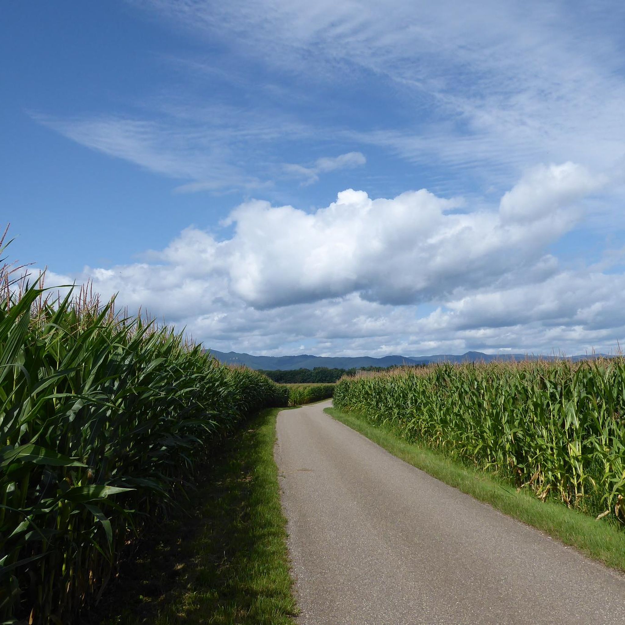
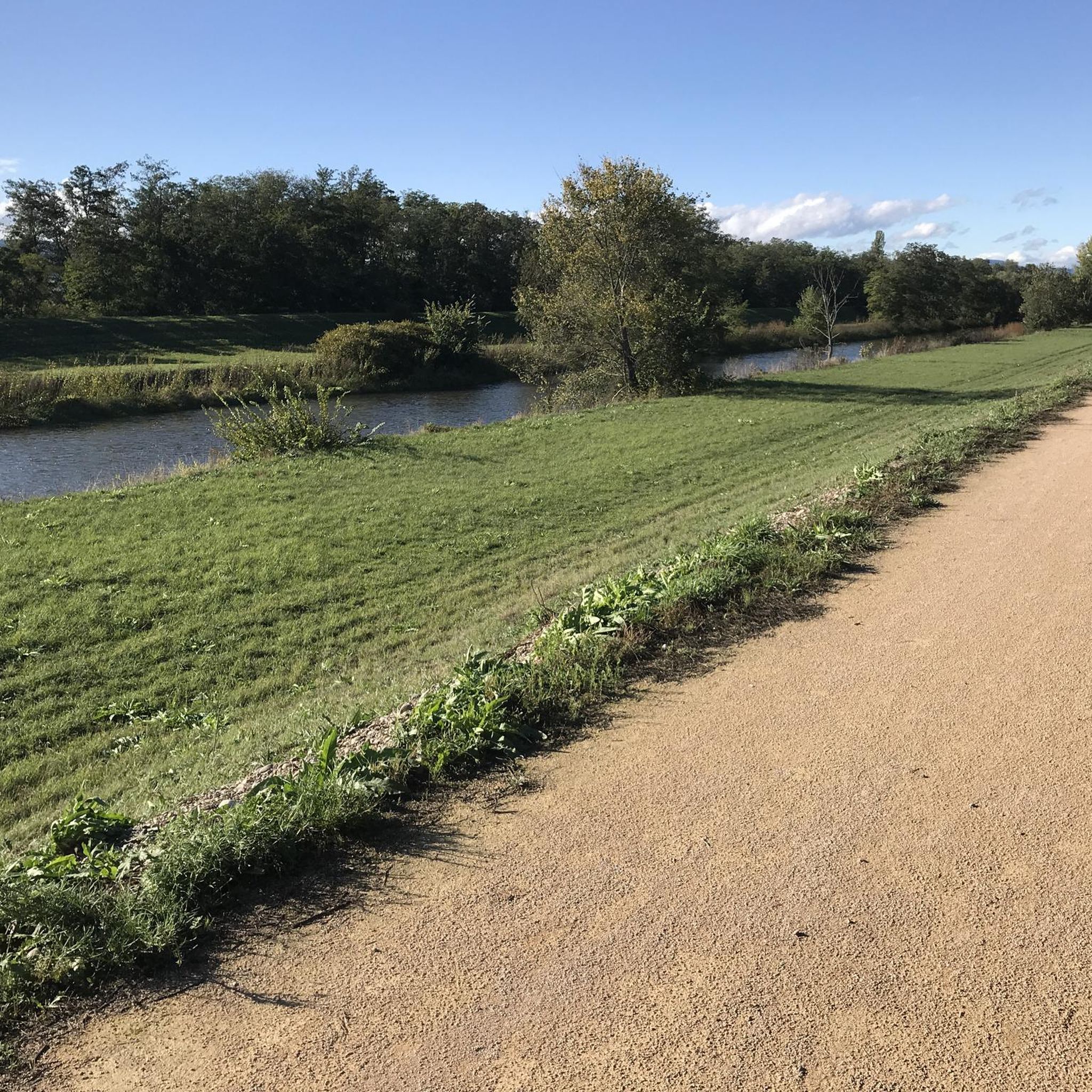
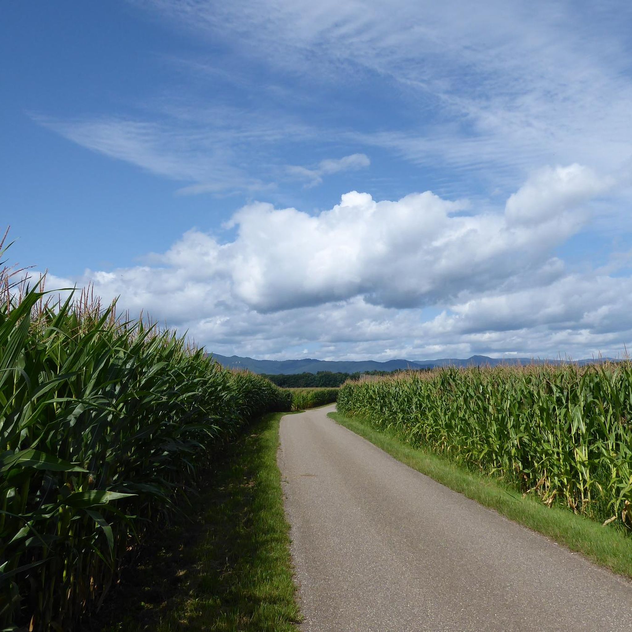
Jogging routes around Heilig-Kreuz are primarily found in the flat, agricultural landscapes of Alsace, France, particularly around Sainte-Croix-en-Plaine and Herrlisheim-près-Colmar. The terrain is characterized by minimal elevation changes, making for generally easy and accessible running. Routes often follow paths through fields, along rivers like the Lauch and Ill, and connect charming local villages.
Best jogging routes around Heilig-Kreuz
- The most popular jogging route is Running loop from Sainte-Croix-en-Plaine, a 4.8 miles (7.7 km) trail that takes 48 minutes to…
Last updated: July 1, 2026
36
runners
7.66km
00:48
10m
10m
Moderate run. Good fitness required. Mostly paved surfaces. Suitable for all skill levels.
16
runners
Moderate run. Good fitness required. Mostly paved surfaces. Suitable for all skill levels.

Sign up for free
4.0
(1)
6
runners
10.1km
01:04
10m
10m
Moderate run. Good fitness required. Mostly paved surfaces. Suitable for all skill levels.
7
runners
8.34km
00:53
10m
10m
Moderate run. Good fitness required. Mostly paved surfaces. Suitable for all skill levels.
3
runners
5.48km
00:35
10m
10m
Moderate run. Good fitness required. Mostly paved surfaces. Suitable for all skill levels.
Get access to more routes and recommendations from other explorers.
Sign up for free
Already have an account?
Our route recommendations are based on thousands of hikes, rides, and runs completed by other people on komoot.
Start today with a free account
Your next adventure awaits.
Login or Signup
Tips from the Community


Frequently Asked Questions
How many running routes are available around Heilig-Kreuz?
There are 11 dedicated jogging routes around Heilig-Kreuz listed on komoot. These routes primarily explore the flat, agricultural landscapes of Alsace, France, offering a variety of distances for different fitness levels.
What kind of terrain can I expect on the jogging trails in the Heilig-Kreuz area?
The jogging trails around Heilig-Kreuz are characterized by flat agricultural land, paths through fields, and routes along rivers like the Lauch and Ill. You'll find minimal elevation changes, making for generally easy and accessible running experiences connecting charming local villages.
Are there any circular running routes in Heilig-Kreuz?
Yes, many of the routes are circular. For example, the popular Running loop from Sainte-Croix-en-Plaine is a 4.8-mile (7.7 km) trail that offers a pleasant run through the countryside. Another option is L'ill par les champs loop from Sainte-Croix-en-Plaine, which is 8.3 km long.
What do other runners enjoy most about jogging in Heilig-Kreuz?
The running routes in Heilig-Kreuz are highly rated by the komoot community, with an average score of 4.4 stars from over 200 reviews. Runners often praise the peaceful, flat countryside, the well-maintained paths through fields, and the scenic riverside sections, which provide a relaxing and enjoyable experience.
Are there any family-friendly running routes suitable for all ages?
Given the generally flat terrain and minimal elevation changes, most of the routes around Heilig-Kreuz are suitable for families. Trails through agricultural fields and along rivers offer safe and accessible paths for runners of all ages and abilities. The shorter loops are particularly good for families.
Can I find routes that pass by interesting landmarks or natural features?
While the region is known for its agricultural landscapes, you can still discover interesting points. For example, you might encounter charming village centers or natural monuments like the Fontaine de la Dame or the Judas tree 1791. The routes often connect these local points of interest.
Are there any longer running routes for more advanced runners?
Yes, for those looking for a longer challenge, the Rue de la Gare – Town hall and library loop from Sainte-Croix-en-Plaine is a moderate 8.9-mile (14.3 km) path. This route allows you to explore more of the local area and its surroundings, providing a good endurance run.
What is the best time of year to go running in Heilig-Kreuz?
The flat, agricultural landscapes of Heilig-Kreuz are enjoyable for running throughout much of the year. Spring and autumn offer pleasant temperatures and beautiful scenery with blooming fields or changing foliage. Summer mornings and evenings are also ideal to avoid the midday heat, while winter runs can be refreshing, provided paths are clear.
Are there any running routes that follow rivers?
Absolutely. Many routes in the Heilig-Kreuz area utilize riverside paths. For instance, The Lauch loop from Herrlisheim-près-Colmar is a 6.0-mile (9.7 km) trail that leads through scenic riverside paths and open fields, offering a refreshing running experience.
What are the difficulty levels of the running routes in this region?
The majority of the running routes around Heilig-Kreuz are classified as moderate, with 9 out of 11 routes falling into this category. There are also 2 routes considered difficult, likely due to longer distances rather than significant elevation, as the terrain is generally flat.
Are there options for shorter, easier jogs in Heilig-Kreuz?
Yes, if you're looking for a shorter, easier jog, the Running loop from Herrlisheim-près-Colmar is a great choice. It's 5.5 km long and offers a pleasant, flat path suitable for a quick and enjoyable run.
Most popular routes around Heilig-Kreuz
Most popular attractions around Heilig-Kreuz

Get inspired with the komoot mobile app


Explore more
Browse the best Running Trails & Routes in other regions.
