The best road cycling routes around Kogenheim
4.5
(474)
10,293
riders
354
rides
Road cycling routes around Kogenheim are situated in the Alsace region of France, characterized by flat plains, expansive vineyards, and proximity to the Rhine River and its canals. The terrain primarily consists of gentle gradients, with some routes venturing into the foothills of the Vosges mountains, offering more significant climbs. This area provides a mix of agricultural landscapes and historic villages, with elevation gains typically remaining below 500 meters.
Best road cycling routes around Kogenheim
- The most popular road cycling…
Last updated: May 23, 2026
4.7
(6)
117
riders
156km
06:37
620m
620m
Hard road ride. Very good fitness required. Some segments of this route may be unpaved and difficult to ride.
4.6
(8)
62
riders
52.0km
02:08
200m
200m
Moderate road ride. Good fitness required. Mostly well-paved surfaces and easy to ride.

Sign up for free
5.0
(1)
13
riders
68.2km
02:55
250m
250m
Moderate road ride. Good fitness required. Some segments of this route may be unpaved and difficult to ride.
5.0
(2)
19
riders
77.1km
03:06
250m
250m
Moderate road ride. Good fitness required. Some segments of this route may be unpaved and difficult to ride.
20
riders
Moderate road ride. Good fitness required. Mostly well-paved surfaces and easy to ride.
Get access to more routes and recommendations from other explorers.
Sign up for free
Already have an account?
Our route recommendations are based on thousands of hikes, rides, and runs completed by other people on komoot.
Start today with a free account
Your next adventure awaits.
Login or Signup

Tips from the Community

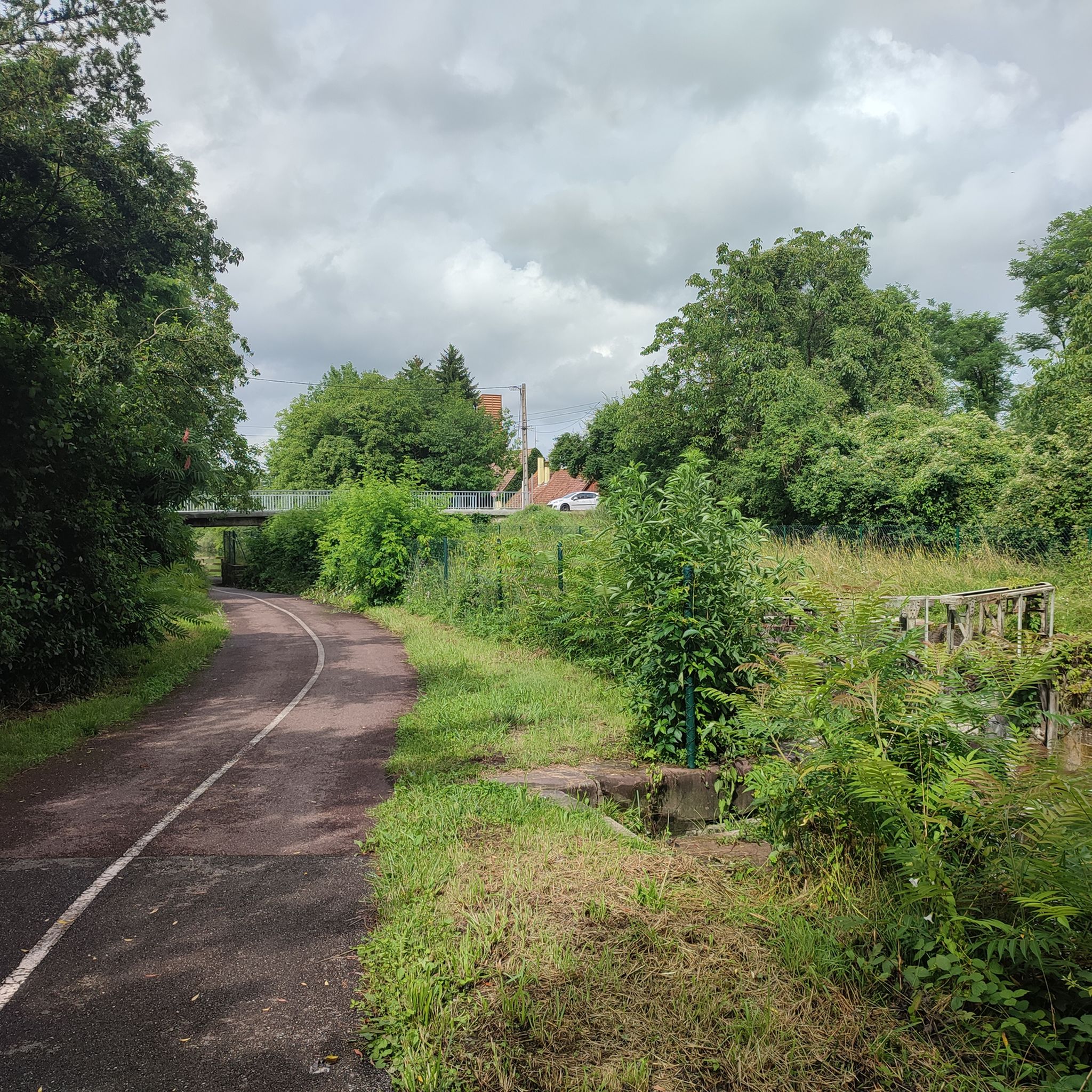
Very nice place with running water
0
0
abandoned road with beautiful view.
0
0

From the bridge over the Ill River in Illhaeusern, you have an idyllic view of the gently flowing Ill and are well worth a short stop. The village of Illhaeusern has just over 700 inhabitants and lies in the Upper Rhine Plain in the Grand Ried region, between Colmar to the south and Sélestat (Schlettstadt) to the north, at the confluence of the Fecht and Ill rivers. The Ill is 217 km long, its source is in the Jura Mountains, and it flows into the North Sea.
0
0

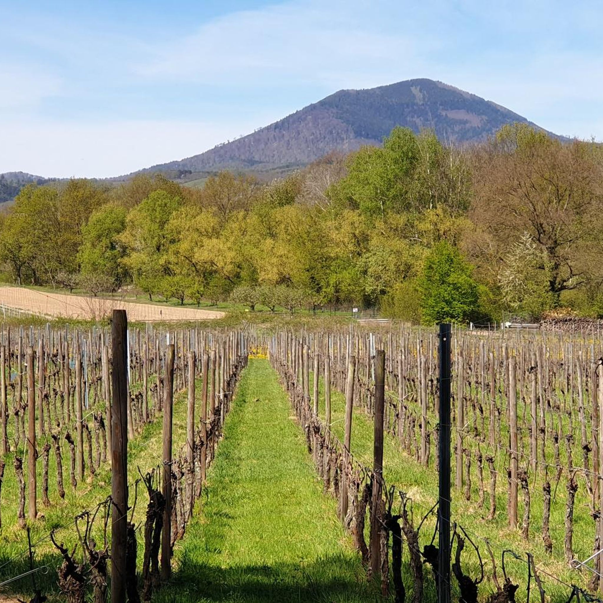
That was a great view of Andlau
1
0

Andlau was founded in 880 by Empress Richardis. She had been banished by her husband, Emperor Charles III, and was later canonized. Her tomb in Andlau became a place of pilgrimage. According to legend, a wild bear showed her the perfect spot (Wikipedia). Wonderful Crus are produced from the vineyards here.
5
0


If you don't mind being with lots of other people on the canal, this is the place for you
0
0
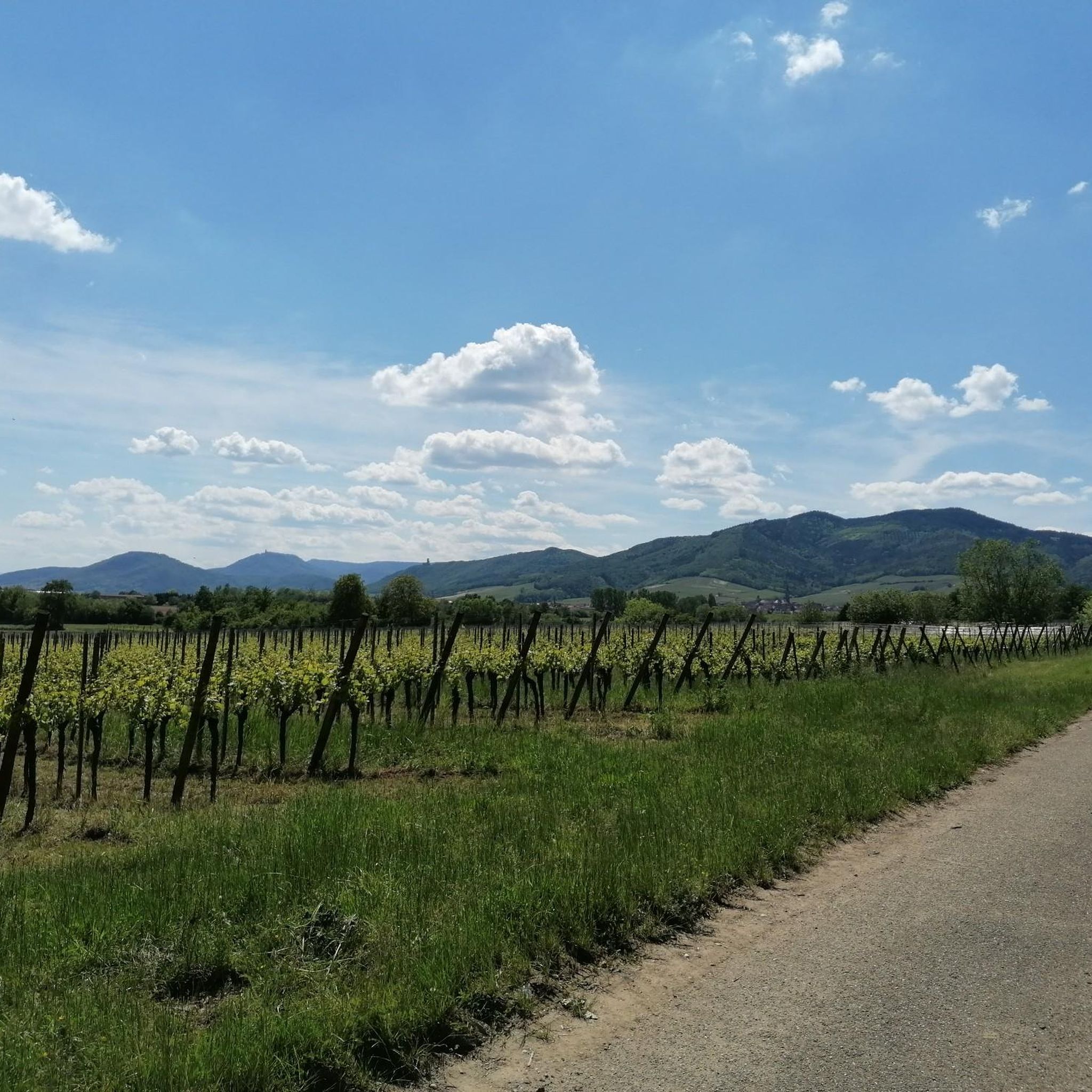
The town of Châtenois, with approximately 4,300 inhabitants, is located in the Grand Est region and belongs to the Bas-Rhin department, Sélestat-Erstein arrondissement. A wine-growing community, Châtenois lies at the foot of the Hahnenberg (530 m) in the foothills of the Vosges Mountains, on the Alsace Wine Route and the EuroVelo 5 Alsace Vineyard Cycle Route. Before the town's founding, the Romans planted a chestnut forest there. The French name "Châtenois" is derived from this, and is synonymous with the original dialectal Alemannic name "Keschtaholtz" – meaning "chestnut wood" and "chestnut wood" in High German. In 1807, the village bore its current name, Châtenois. In 1871, it was Germanized as Kestenholz before reverting to its French name after the Second World War. Before the town's founding, the Romans planted a chestnut forest there. Châtenois has a beautiful old town; the main tourist street is located in Rue du Maréchal Foch.
0
0
Frequently Asked Questions
How many road cycling routes are available around Kogenheim?
There are over 350 road cycling routes around Kogenheim, catering to various skill levels. This includes more than 100 easy routes, over 180 moderate routes, and around 65 challenging options for advanced cyclists.
What kind of terrain can I expect on road cycling routes in Kogenheim?
The terrain around Kogenheim is diverse, primarily featuring flat plains, extensive vineyards, and scenic canal paths near the Rhine River. Some routes also venture into the foothills of the Vosges mountains, offering more significant climbs and rolling hills.
Are there any beginner-friendly road cycling routes in the area?
Yes, Kogenheim offers over 100 easy road cycling routes perfect for beginners. These routes typically feature gentle gradients and allow you to enjoy the picturesque agricultural landscapes and historic villages at a comfortable pace.
What are some challenging routes for experienced road cyclists?
For experienced cyclists seeking a challenge, routes like Riquewihr Old Town – Along the canal loop from Kogenheim offer a difficult 82.1-mile (132.1 km) path with significant elevation gain. Another option is Fouchy Pass – Col de Fouchy loop from Ebersheim, which includes a substantial climb into the Vosges foothills.
What is the best season for road biking around Kogenheim?
The best seasons for road biking around Kogenheim are typically spring (April to June) and autumn (September to October). During these months, the weather is generally mild and pleasant, with fewer crowds than in summer, and the vineyards offer beautiful scenery.
Are the road cycling routes around Kogenheim typically circular?
Many of the road cycling routes around Kogenheim are designed as loops, allowing you to start and finish at the same point. Examples include the popular Alsace Wine Route Vineyards – Itterswiller loop from Ebersheim and the Fountain in Blinschwiller – Saint Sebastian Chapel loop from Ebersheim.
What kind of attractions can I see along the road cycling routes?
Road cycling routes in Kogenheim often pass through charming historic villages and offer views of the region's famous vineyards. You can also discover historical sites such as Bernstein Castle or Andlau Castle. Many routes also follow the scenic Canal du Rhône au Rhin, where you might spot features like the Canal du Rhône au Rhin Lock and Lockkeeper's House.
Are there places to stop for refreshments or food along the routes?
Yes, as many routes pass through historic towns and villages, you'll find opportunities to stop for refreshments. The Alsace region is known for its culinary delights, and many villages offer cafes, bakeries, and restaurants where you can refuel.
What do other road cyclists enjoy most about road cycling in Kogenheim?
The area is highly rated by the komoot community, with an average score of 4.5 stars. Reviewers often praise the diverse scenery, from tranquil canal paths and vineyard-lined roads to the challenging climbs in the Vosges foothills, as well as the well-maintained routes suitable for various ability levels.
What are the typical distances and elevations for road cycling routes in Kogenheim?
Routes vary significantly in distance and elevation. You can find shorter rides like the Fountain in Blinschwiller – Saint Sebastian Chapel loop from Ebersheim at 21.4 miles (34.5 km) with around 260 meters of elevation gain. Longer and more challenging routes, such as the Riquewihr Old Town – Along the canal loop from Kogenheim, can be over 80 miles (130 km) with nearly 500 meters of climbing.
Can I find routes that offer scenic viewpoints?
Absolutely. Many routes, especially those venturing towards the Vosges foothills or through elevated vineyard areas, provide stunning panoramic views of the Alsace plain and surrounding landscapes. The region's charming villages and historic castles also serve as picturesque focal points along your ride.
Most popular attractions around Kogenheim

Get inspired with the komoot mobile app


Explore more
Browse the best Road cycling routes in other regions.
