The best mountain hikes around Meyreuil
4.7
(5)
47
hikers
10
hikes
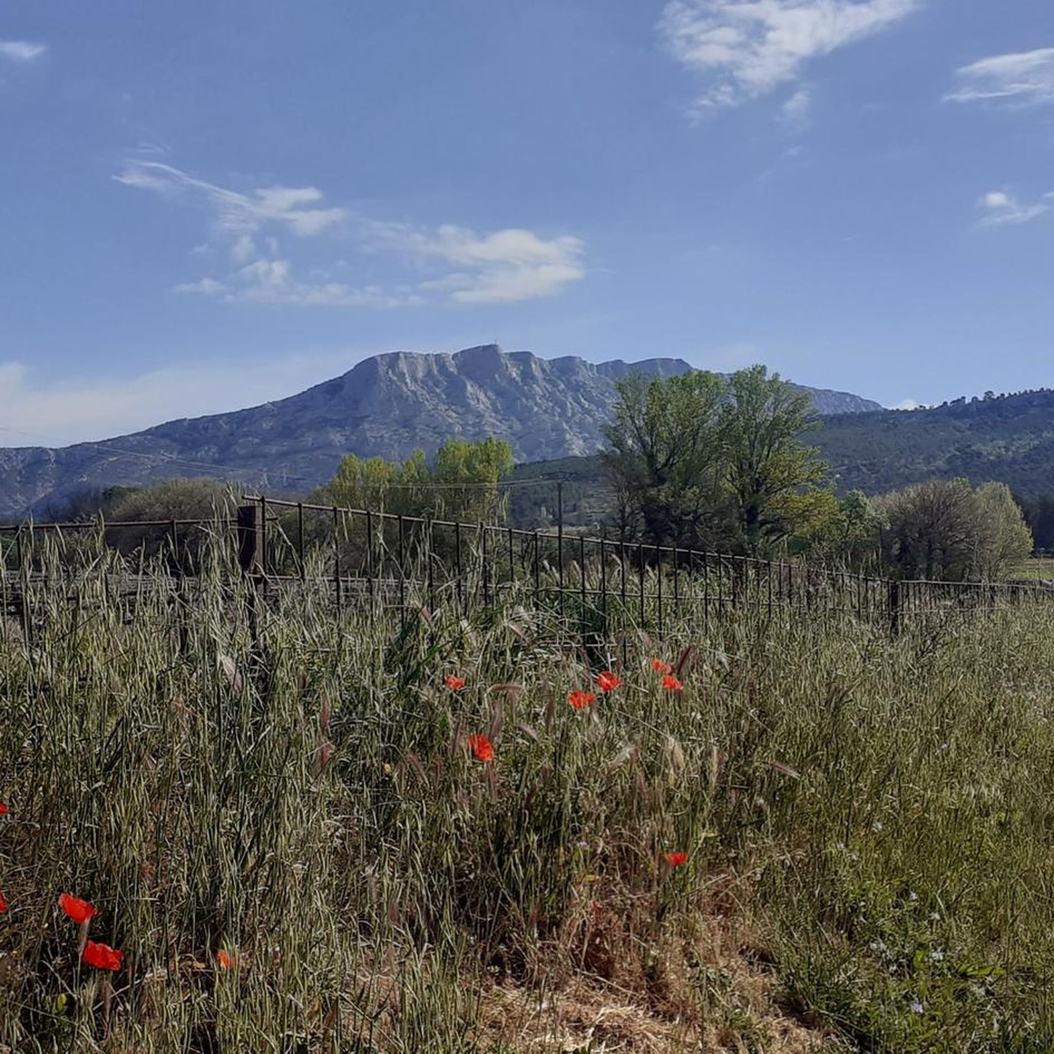
Mountaineering routes around Meyreuil are primarily defined by the iconic Sainte-Victoire Mountain, a prominent limestone massif offering varied terrain. The region features a mix of rocky ascents, wooded valleys, and open landscapes, with elevations suitable for challenging climbs. The area's geology provides a distinct environment for outdoor pursuits, characterized by its unique rock formations and Mediterranean vegetation.
Best mountaineering routes around Meyreuil
- The most popular mountaineering route is Sainte-Victoire ✌️ – Savonette Pass loop from Saint-Antonin-sur-Bayon, a 4.1 miles…
Last updated: May 17, 2026
5.0
(1)
5
hikers
6.46km
03:12
550m
550m
Hard mountaineering route. Good fitness required. Sure-footedness, sturdy shoes and alpine experience required.
5.0
(3)
11
hikers
Moderate mountaineering route. Good fitness required. Mostly accessible paths. Sure-footedness required.

Sign up for free
4.0
(1)
8
hikers
10.2km
04:24
540m
540m
Moderate mountaineering route. Good fitness required. Mostly accessible paths. Sure-footedness required.
6
hikers
11.3km
04:56
740m
740m
Hard mountaineering route. Good fitness required. Sure-footedness, sturdy shoes and alpine experience required.
3
hikers
Hard mountaineering route. Good fitness required. Sure-footedness, sturdy shoes and alpine experience required.
Get access to more routes and recommendations from other explorers.
Sign up for free
Already have an account?
Our route recommendations are based on thousands of hikes, rides, and runs completed by other people on komoot.
Start today with a free account
Your next adventure awaits.
Login or Signup

Tips from the Community

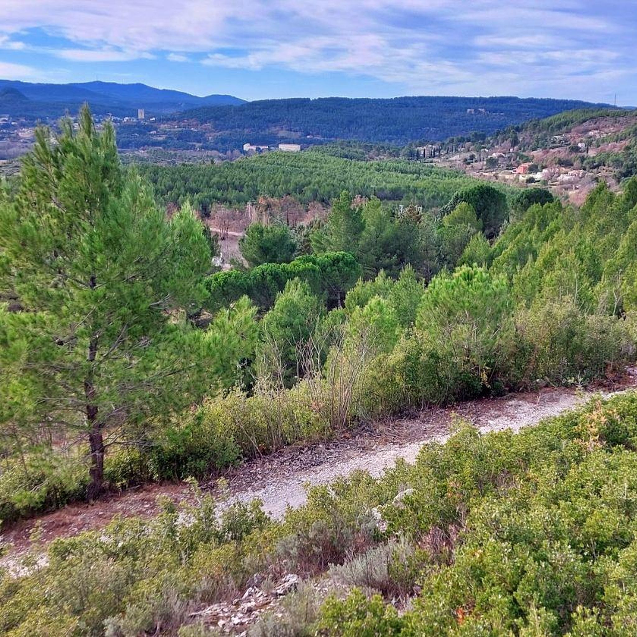
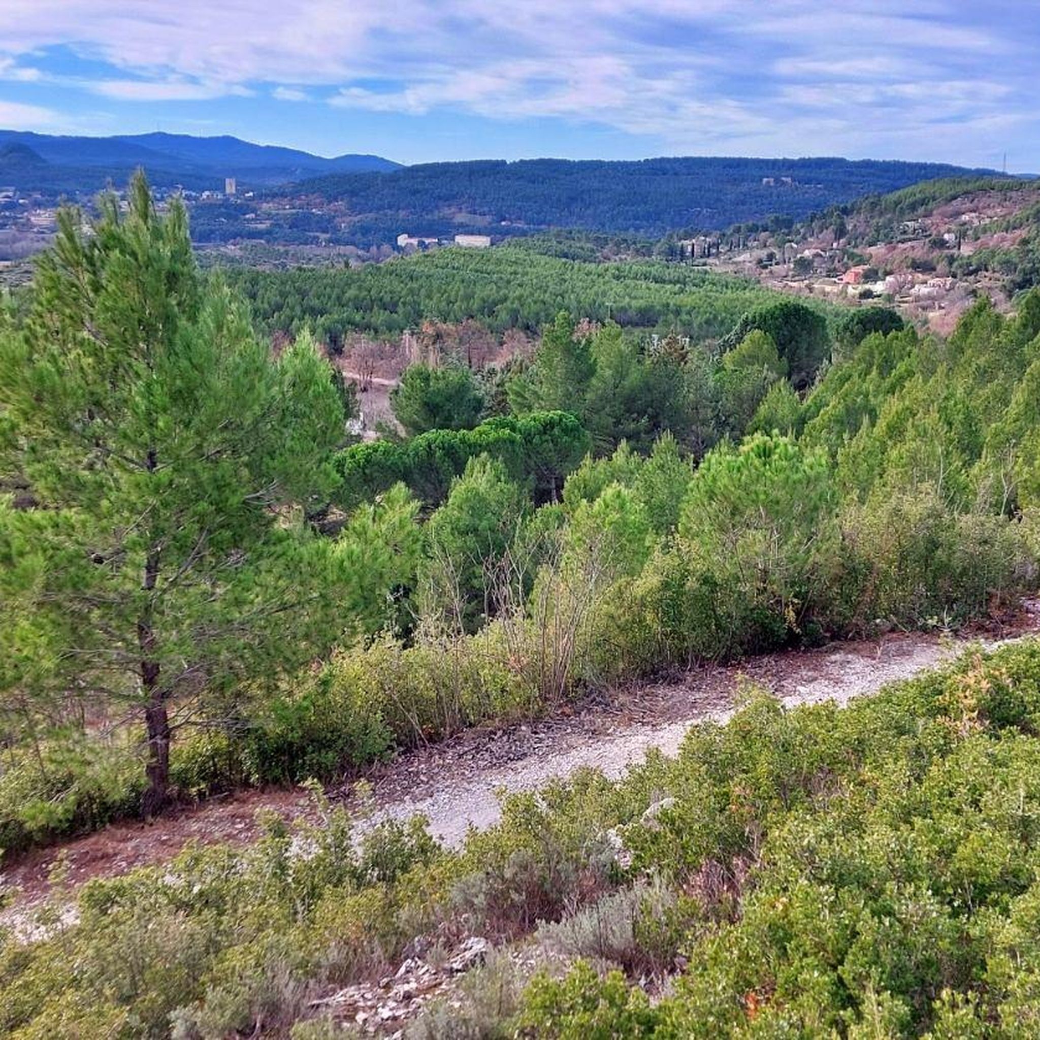
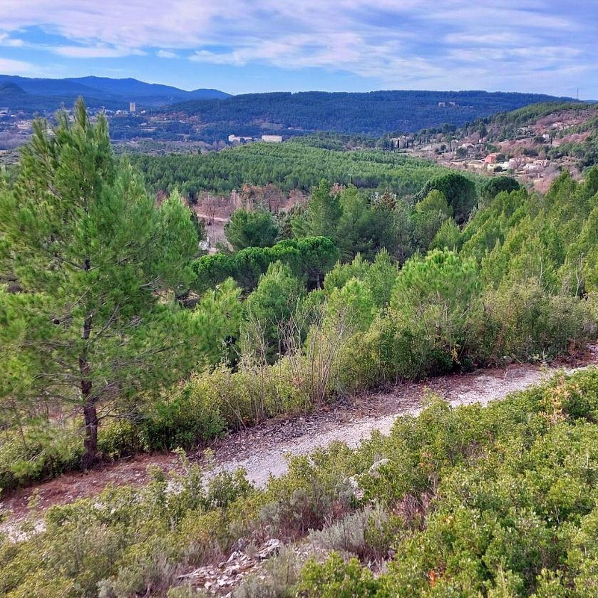
Magical place, panoramic view from the "balcony".
0
0

beautiful but dangerous on the way down (even on the way up if you are not used to it)
0
0

Attention ⚠️ trail closed since October and during 2025
1
0

superb hike, to do in the morning. be well-shod because there are many rocks to cross. Take plenty of water. superb priory below the cross.
1
0

The Bimont dam, also called the Bimont dam or the Rigaud dam, is an arch dam commissioned in 1952 in the town of Saint-Marc-Jaumegarde, in the Sainte-Victoire mountain, near Aix-en-Provence. It is fed mainly by water from the west branch of the Canal de Provence, which is brought in via an underground gallery and drains off on the right bank just before the dam. It is accompanied by a counter dam located at its foot on the left bank, which collects the spilled water to supply the Marseille-North branch of the Provence Canal.
2
0

forcioli trail (green and black markings): climbing uphill, very involved downhill
1
0
forcioli trail (green and black markings) -> climbing path uphill, very steep downhill
0
0
Frequently Asked Questions
How many mountaineering routes are available around Meyreuil?
There are over 10 mountaineering routes around Meyreuil, primarily centered on the iconic Sainte-Victoire Mountain. These routes offer a range of challenges, from moderate paths to more difficult ascents.
What kind of terrain can I expect on mountaineering routes near Meyreuil?
Mountaineering routes near Meyreuil feature a diverse landscape. You'll encounter rocky ascents, particularly on Sainte-Victoire Mountain, as well as peaceful wooded valleys and open, scenic areas. The region's unique limestone geology provides distinct rock formations and Mediterranean vegetation.
Are there any moderate mountaineering routes suitable for those seeking a balanced challenge?
Yes, for a balanced challenge, consider the Sainte-Victoire ✌️ loop from Saint-Marc-Jaumegarde. This route is 10.3 km long and typically takes around 4 hours and 7 minutes, offering varied terrain through forests and open rocky sections. Another moderate option is the Sainte-Victoire ✌️ loop from Château de Vauvenargues, which is 10.2 km and takes about 4 hours and 23 minutes.
What are some of the more challenging mountaineering routes in the area?
For a more challenging experience, the Sainte-Victoire ✌️ – Savonette Pass loop from Saint-Antonin-sur-Bayon is a difficult 6.6 km trail with significant elevation gain, typically completed in about 3 hours and 18 minutes. Another demanding option is the Sainte-Victoire ✌️ loop from Vauvenargues, an 14.0 km route that takes approximately 5 hours and 51 minutes.
What natural attractions or viewpoints can I find along the mountaineering routes?
Many routes offer breathtaking views of the surrounding Provençal landscape, especially from Sainte-Victoire Mountain. You can also discover natural monuments like the Croix de Provence and the Pilon du Roi. The Red Earth Formations of Sainte-Victoire and the Swallows' Cave are also notable points of interest.
Are there any circular mountaineering routes around Meyreuil?
Yes, most of the mountaineering routes around Meyreuil are designed as loops. For instance, the Sainte-Victoire ✌️ loop from Saint-Antonin-sur-Bayon is a difficult 6.8 km circular trail, offering a complete experience of the area's natural beauty.
What do other mountaineers say about the routes in Meyreuil?
The mountaineering routes in Meyreuil are highly rated by the komoot community, with an average score of 4.75 stars from over 8 reviews. Mountaineers often praise the stunning panoramic views from Sainte-Victoire and the diverse terrain that keeps the experience engaging.
Are there any lakes or water features near the mountaineering trails?
Yes, you can find several water features nearby. The Lake Bimont and the Zola Dam are accessible and offer scenic spots. The Arc river also flows through the region, and you might encounter the historic Trois Sautets bridge.
What is the best time of year for mountaineering in Meyreuil?
Meyreuil, located in Provence, generally offers pleasant conditions for outdoor activities for much of the year. Spring and autumn are often ideal, with milder temperatures and beautiful scenery. Summers can be hot, so early morning starts are recommended, while winter can offer a different, quieter experience, though conditions on Sainte-Victoire may vary.
Are there any specific viewpoints of Mont Sainte-Victoire that are easily accessible?
Absolutely. Many of the trails offer direct views of the mountain itself, but for a dedicated perspective, look for the View of Mont Sainte-Victoire highlight, which provides an excellent vantage point to appreciate this iconic landmark.
What kind of wildlife might I encounter while mountaineering in Meyreuil?
The region's diverse landscapes, including wooded valleys like those in the Domaine de Montaiguet, are home to various wildlife. While specific sightings can never be guaranteed, you might encounter local bird species, small mammals, and a rich array of Mediterranean flora.
Most popular routes around Meyreuil
Most popular attractions around Meyreuil

Get inspired with the komoot mobile app


Explore more
Browse the best Mountain Hikes & Routes in other regions.
