The best mountain hikes around Le Tholonet
4.4
(7)
60
hikers
9
hikes
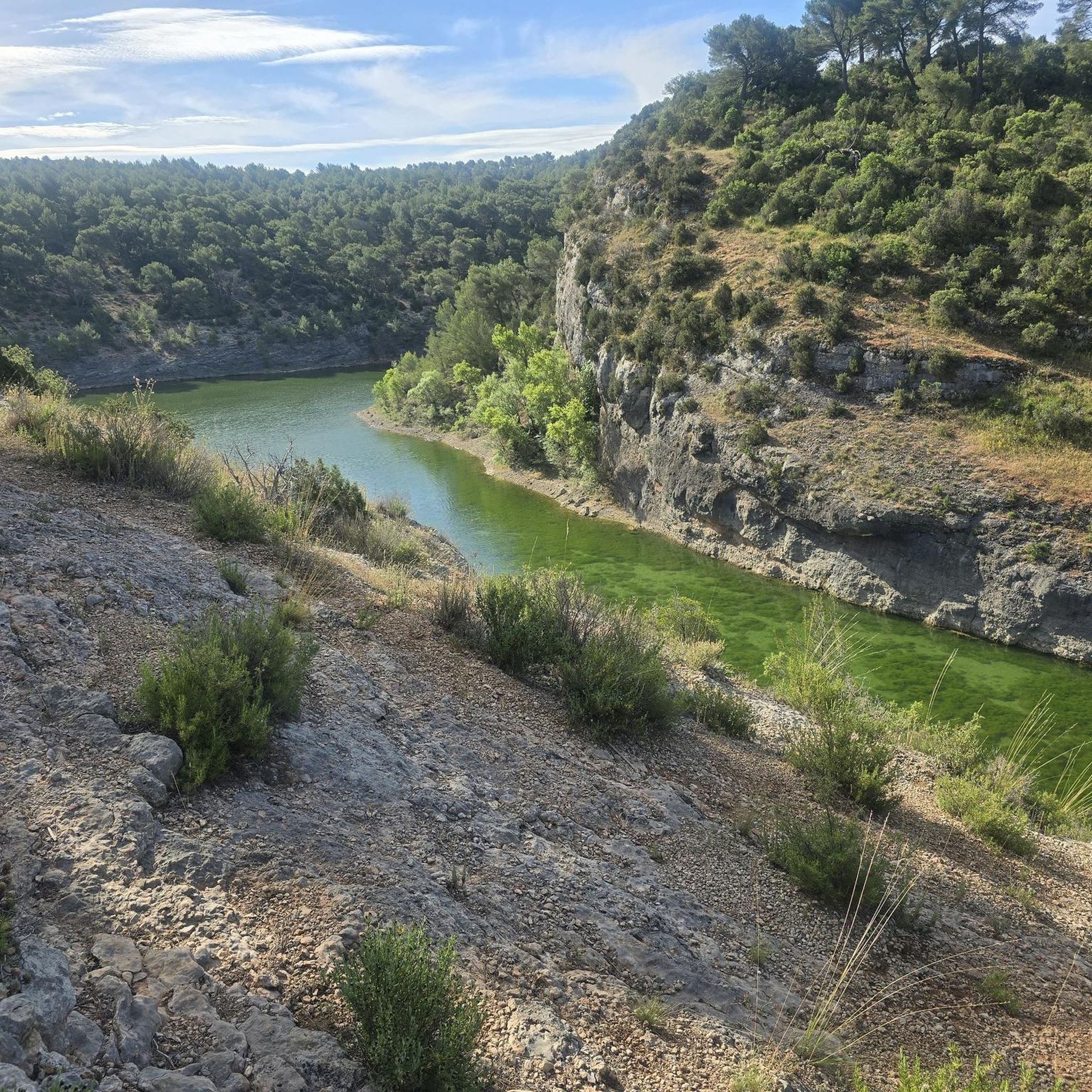
Mountaineering routes around Le Tholonet are centered on the Montagne Sainte-Victoire, a prominent peak rising over 1,000 meters. The region features rugged terrain, limestone cliffs, and diverse landscapes including forests, vineyards, and the Arc and La Cause rivers. Notable natural features also include Lake Zola and Lake Bimont, often integrated into routes. This varied geology provides a challenging environment for mountaineering.
Best mountaineering routes around Le Tholonet
- The most popular mountaineering route is Sainte-Victoire ✌️ – Savonette Pass loop from…
Last updated: August 22, 2026
4.3
(3)
20
hikers
6.51km
03:14
550m
550m
Hard mountaineering route. Good fitness required. Sure-footedness, sturdy shoes and alpine experience required.
5.0
(3)
10
hikers
Moderate mountaineering route. Good fitness required. Mostly accessible paths. Sure-footedness required.

Sign up for free
4.0
(1)
7
hikers
10.2km
04:24
540m
540m
Moderate mountaineering route. Good fitness required. Mostly accessible paths. Sure-footedness required.
6
hikers
11.3km
04:56
740m
740m
Hard mountaineering route. Good fitness required. Sure-footedness, sturdy shoes and alpine experience required.
3
hikers
Hard mountaineering route. Good fitness required. Sure-footedness, sturdy shoes and alpine experience required.
Get access to more routes and recommendations from other explorers.
Sign up for free
Already have an account?
Our route recommendations are based on thousands of hikes, rides, and runs completed by other people on komoot.
Start today with a free account
Your next adventure awaits.
Login or Signup
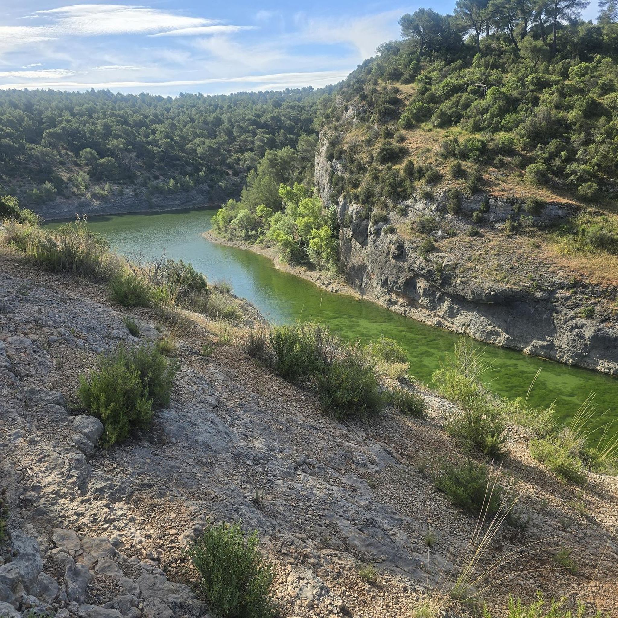
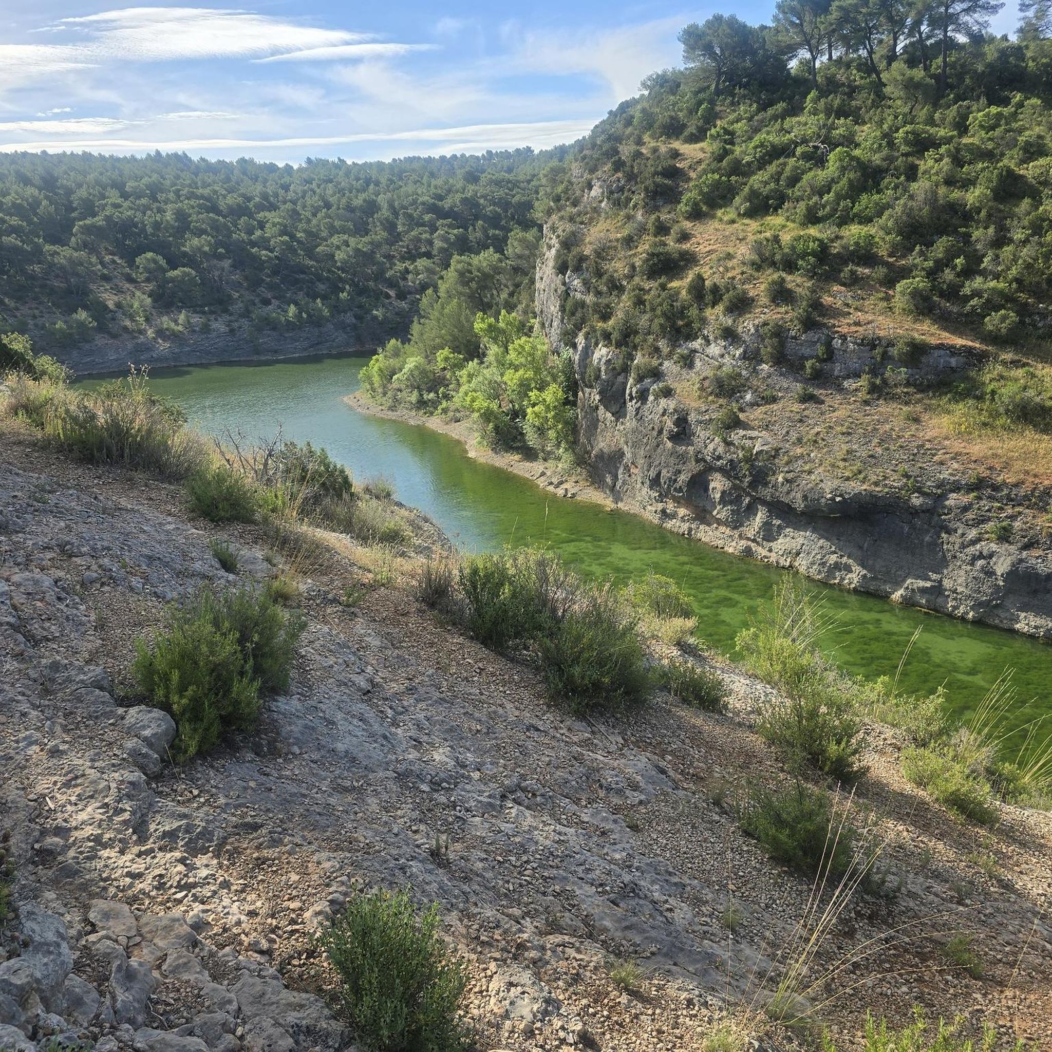
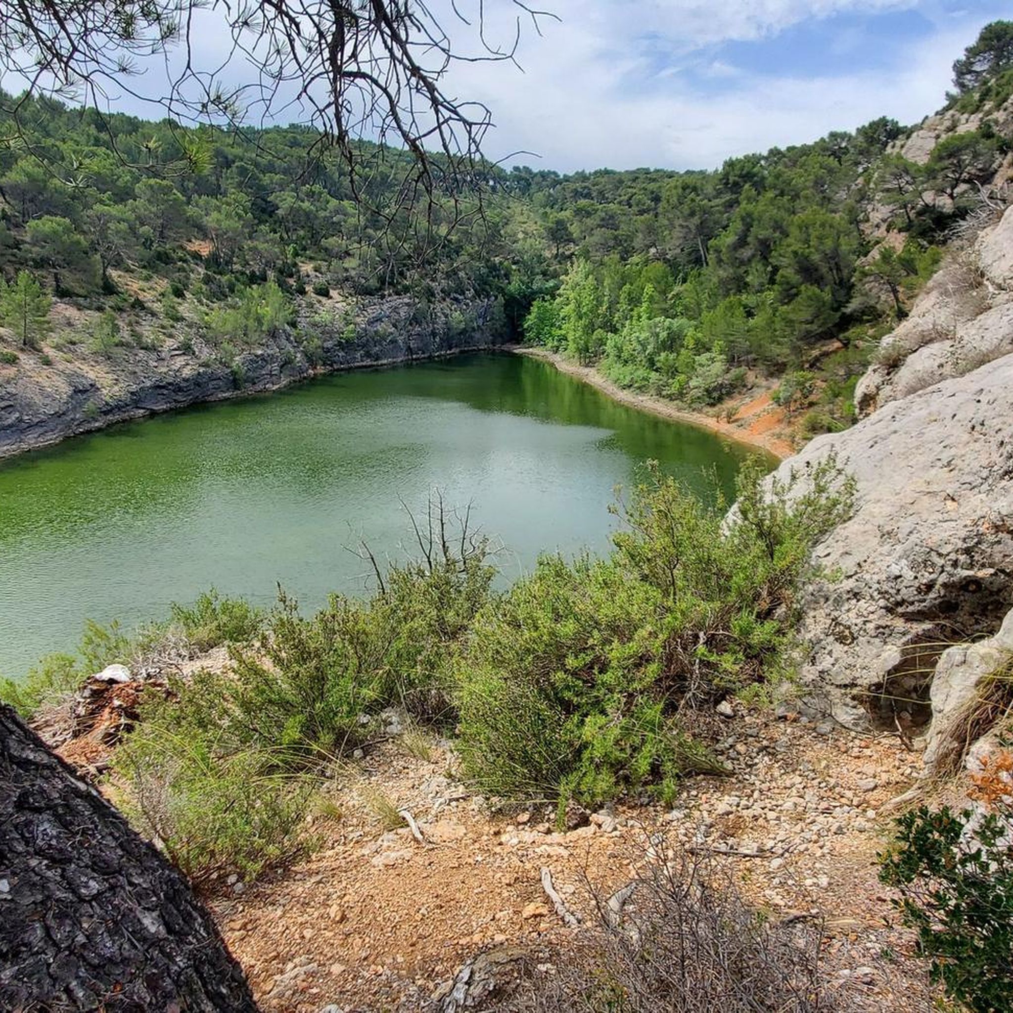
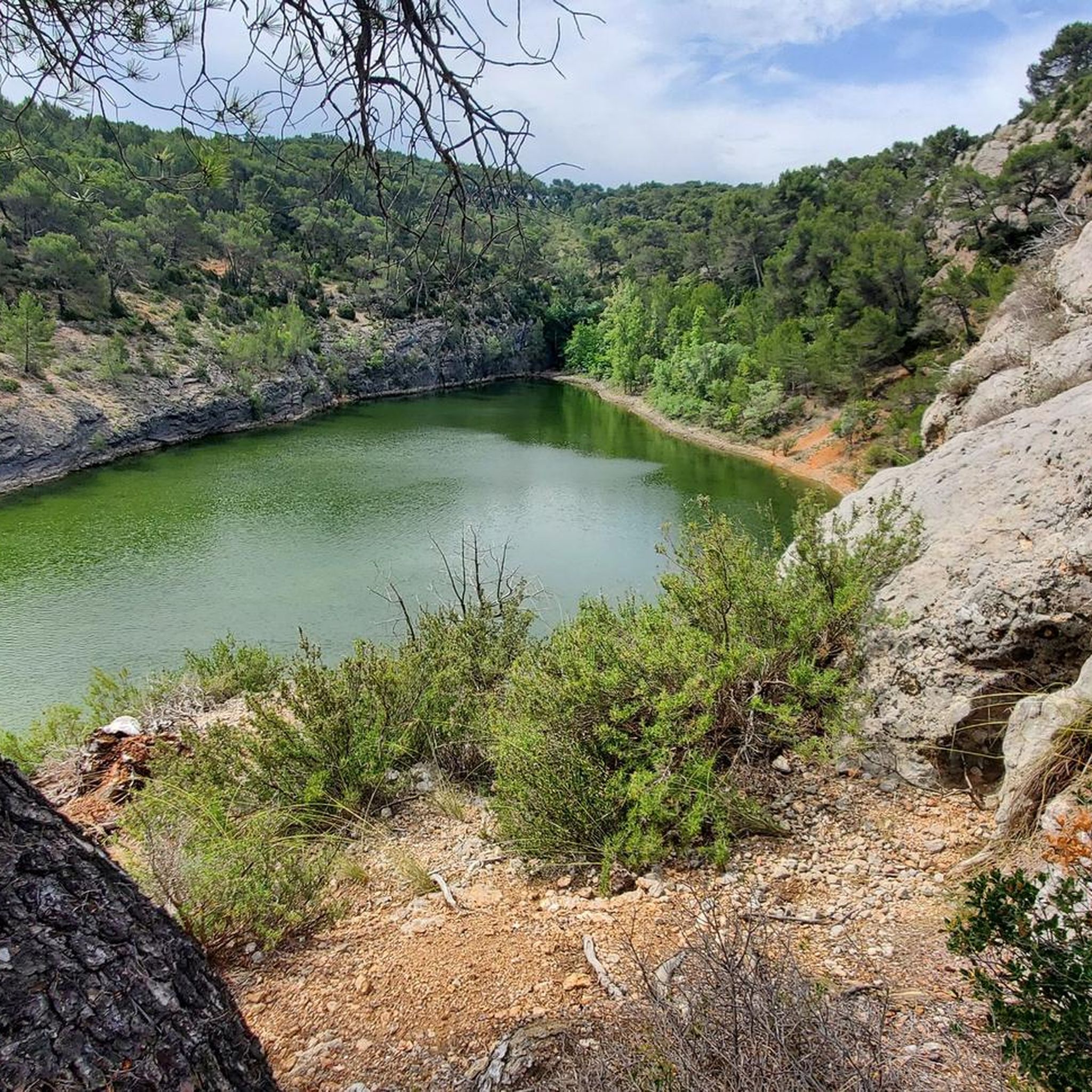

Tips from the Community

Great climbing in the 2nd grade on rough limestone.
0
0

Viewpoint. Must be seen once.
0
0
Beautiful, it's also a good place to take a nap or just rest under the shade.
1
0

Magical place, panoramic view from the "balcony".
1
0

beautiful but dangerous on the way down (even on the way up if you are not used to it)
0
0

Attention ⚠️ trail closed since October and during 2025
1
0
Frequently Asked Questions
How many mountaineering routes are available in Le Tholonet?
There are over 10 mountaineering routes around Le Tholonet listed on komoot, primarily centered on the Montagne Sainte-Victoire. These routes offer a range of challenges, from moderate to difficult.
What kind of terrain can I expect on mountaineering routes around Le Tholonet?
Mountaineering routes in Le Tholonet feature rugged terrain, limestone cliffs, and diverse landscapes. You'll traverse forests, vineyards, and areas near the Arc and La Cause rivers, with notable natural features like Lake Zola and Lake Bimont often integrated into the routes. The distinct geology, characterized by 'red soil, grey rock, and intense blue sky,' provides a striking visual experience.
Are there any easier mountaineering routes suitable for beginners in Le Tholonet?
While many routes are classified as difficult, there are some moderate options available. For example, the Sainte-Victoire ✌️ loop from Saint-Marc-Jaumegarde is a moderate 6.4-mile (10.3 km) path that traverses varied terrain around the iconic mountain, offering a less strenuous experience than some of the more challenging ascents.
Can I find challenging routes for experienced mountaineers?
Absolutely. The Montagne Sainte-Victoire is known for its challenging terrain. Many routes are classified as difficult, such as the Sainte-Victoire ✌️ – Savonette Pass loop from Saint-Antonin-sur-Bayon, a 4.1-mile (6.6 km) trail with significant elevation gain, offering stunning views and a demanding experience for seasoned mountaineers.
Are there any family-friendly mountaineering options in the area?
While many mountaineering routes are challenging, the broader Le Tholonet area offers a variety of hiking trails, some of which are suitable for families. When planning with children, look for routes with less elevation gain and shorter distances. The region's extensive network of paths includes options that are less demanding than the full mountaineering ascents of Sainte-Victoire.
Are dogs allowed on the mountaineering trails around Le Tholonet?
Generally, dogs are permitted on many trails in the Le Tholonet area, especially within the Parc Départemental de Roques Hautes, which encompasses much of the Montagne Sainte-Victoire. However, it's always recommended to keep dogs on a leash, especially in protected natural areas, to protect wildlife and ensure the safety of other hikers. Check local signage for specific restrictions.
What are some notable natural attractions or landmarks I might see on these routes?
Mountaineering routes around Le Tholonet offer access to several significant natural and historical landmarks. You might encounter Lake Bimont, the historic Zola Dam, or even the remnants of a Roman aqueduct. Higher up, you could reach the Sainte-Victoire Priory or the Croix de Provence summit, offering panoramic views. The region also features unique geological formations like the Red Earth Formations of Sainte-Victoire and the Swallows' Cave.
Are there any circular mountaineering routes available?
Yes, many of the mountaineering routes around Le Tholonet are designed as loops, allowing you to start and end at the same point. Examples include the Sainte-Victoire ✌️ loop from Château de Vauvenargues, which is a 6.3-mile (10.2 km) trail, and the Sainte-Victoire ✌️ loop from Saint-Antonin-sur-Bayon, a 6.8-mile (11 km) route.
What is the best time of year for mountaineering in Le Tholonet?
The best time for mountaineering in Le Tholonet is typically during spring (April to June) and autumn (September to October). During these seasons, the weather is generally mild, and the landscapes are vibrant. Summer can be very hot, making longer ascents challenging, while winter might bring colder temperatures and occasional snow at higher elevations, requiring appropriate gear and experience.
Are permits required for mountaineering in the Sainte-Victoire area?
Generally, permits are not required for hiking or mountaineering on the established trails within the Montagne Sainte-Victoire area. However, it's crucial to be aware of potential seasonal trail closures, especially during dry summer months due to fire risk. Always check local regulations and conditions before heading out, particularly between June and September.
Where can I park when accessing mountaineering trails around Le Tholonet?
There are various parking areas available near the trailheads for Montagne Sainte-Victoire. Common starting points like Saint-Antonin-sur-Bayon, Saint-Marc-Jaumegarde, and Vauvenargues typically have designated parking for hikers. It's advisable to arrive early, especially on weekends or during peak season, as spaces can fill up quickly.
Is it possible to reach the mountaineering trails by public transport?
While Le Tholonet itself is well-connected, direct public transport access to all specific mountaineering trailheads on Montagne Sainte-Victoire can be limited. Buses connect Aix-en-Provence to Le Tholonet and some surrounding villages. From there, you might need to walk or arrange for local transport to reach the more remote starting points. Planning your route in advance and checking local bus schedules is recommended.
What do other mountaineers say about the routes in Le Tholonet?
The mountaineering routes in Le Tholonet are highly rated by the komoot community, with an average score of 4.75 stars from more than 8 reviews. Mountaineers often praise the stunning views of Montagne Sainte-Victoire, the diverse terrain, and the rewarding challenge these trails offer. Many appreciate the well-maintained paths and the sense of accomplishment after completing a route.
Are there any less crowded mountaineering routes around Le Tholonet?
While the Montagne Sainte-Victoire is a popular destination, you can find less crowded routes by choosing trails that start from less common access points or by exploring during off-peak hours or weekdays. Routes further from the main tourist hubs, or those with a higher difficulty rating, tend to see fewer people. Exploring the extensive network of paths within the Parc Départemental de Roques Hautes can also lead to quieter sections.
What facilities like cafes or restaurants are available near the trails or in Le Tholonet village?
Le Tholonet village offers several cafes and restaurants where you can refuel before or after your mountaineering adventure. While direct facilities on the trails themselves are limited (apart from the historic priory near the summit of Sainte-Victoire), the village provides options for a meal or a refreshing drink. Aix-en-Provence, a short drive away, also boasts a wide array of dining choices.
Most popular routes around Le Tholonet
Most popular attractions around Le Tholonet

Get inspired with the komoot mobile app


Explore more
Browse the best Mountain Hikes & Routes in other regions.
