The best mountain hikes around Vauvenargues
4.3
(8)
66
hikers
11
hikes
Mountaineering around Vauvenargues is centered on the iconic Montagne Sainte-Victoire, offering a diverse landscape for outdoor enthusiasts. The region features a mix of rocky and loose ground, forest roads, and trails with scramble passages, some with exposed sections. These routes provide varied terrain for different skill levels, from moderate paths to challenging ascents. The area's natural features include significant elevation gains and panoramic views of the surrounding Provençal landscape.
Best mountaineering routes around Vauvenargues
- The most popular mountaineering route is…
Last updated: August 20, 2026
4.3
(3)
20
hikers
6.51km
03:14
550m
550m
Hard mountaineering route. Good fitness required. Sure-footedness, sturdy shoes and alpine experience required.
5.0
(3)
10
hikers
Moderate mountaineering route. Good fitness required. Mostly accessible paths. Sure-footedness required.

Sign up for free
4.0
(1)
7
hikers
10.2km
04:24
540m
540m
Moderate mountaineering route. Good fitness required. Mostly accessible paths. Sure-footedness required.
6
hikers
11.3km
04:56
740m
740m
Hard mountaineering route. Good fitness required. Sure-footedness, sturdy shoes and alpine experience required.
4.0
(1)
6
hikers
7.18km
02:50
390m
380m
Moderate mountaineering route. Good fitness required. Mostly accessible paths. Sure-footedness required.
Get access to more routes and recommendations from other explorers.
Sign up for free
Already have an account?
Our route recommendations are based on thousands of hikes, rides, and runs completed by other people on komoot.
Start today with a free account
Your next adventure awaits.
Login or Signup

Tips from the Community

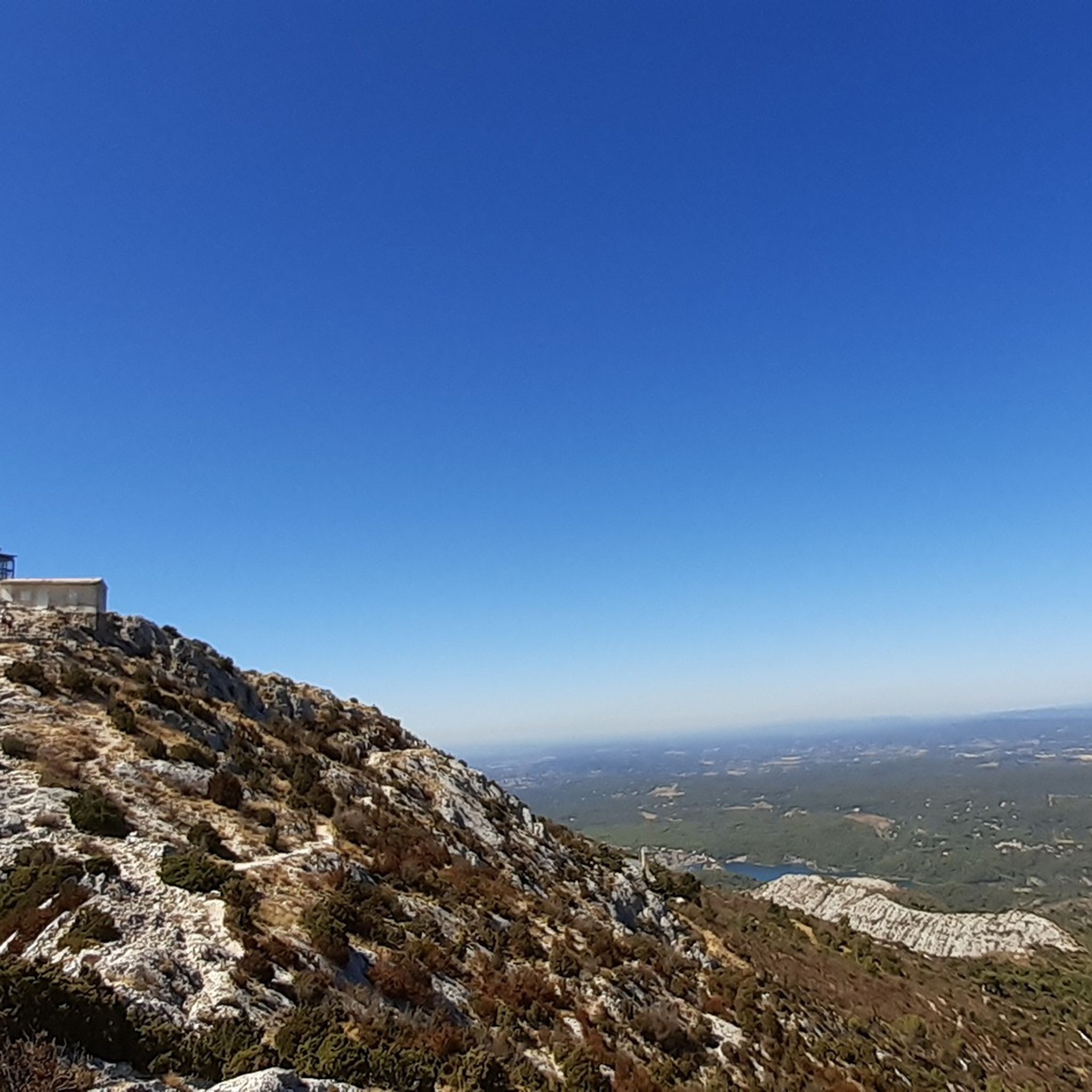
Great climbing in the 2nd grade on rough limestone.
0
0

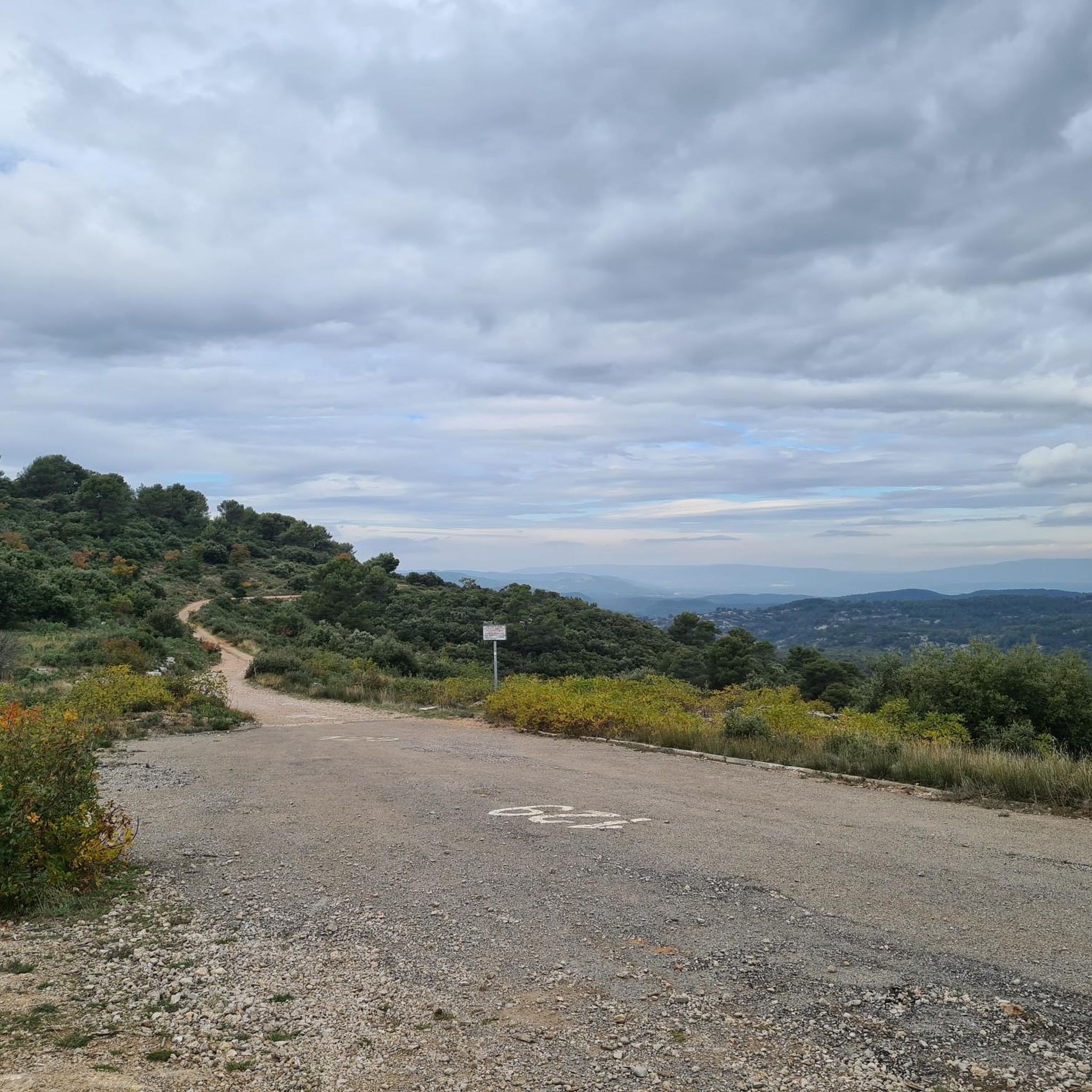
Viewpoint. Must be seen once.
0
0
A summit with very few peoples on it compared to the croix de Provence. Can be accessed by the crest, much harder and longuer than the Imoucha path.
1
0
Beautiful, it's also a good place to take a nap or just rest under the shade.
1
0

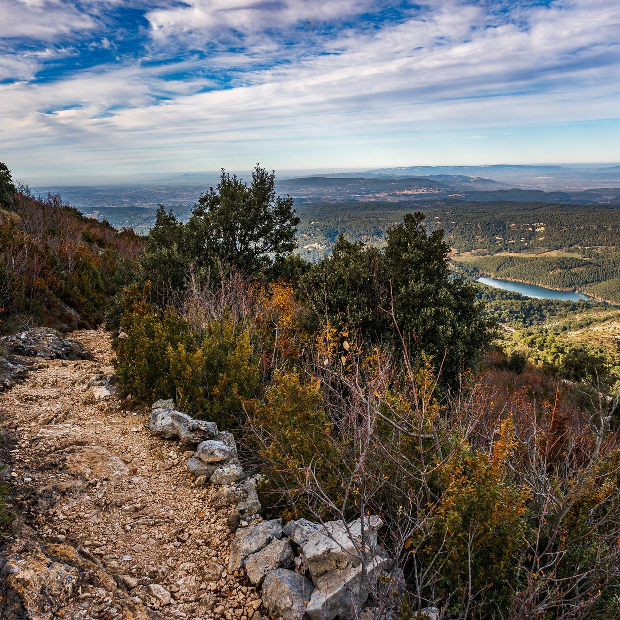
Not the most beautiful place on Sainte-Victoire in itself, but what an extraordinary view 🔥 Sainte-Baume and the mountains of Marseille to the South, the Bessillons and the Alps behind the Verdon to the East, the Montagne de Lure, the Écrins, the Ventoux...
1
0
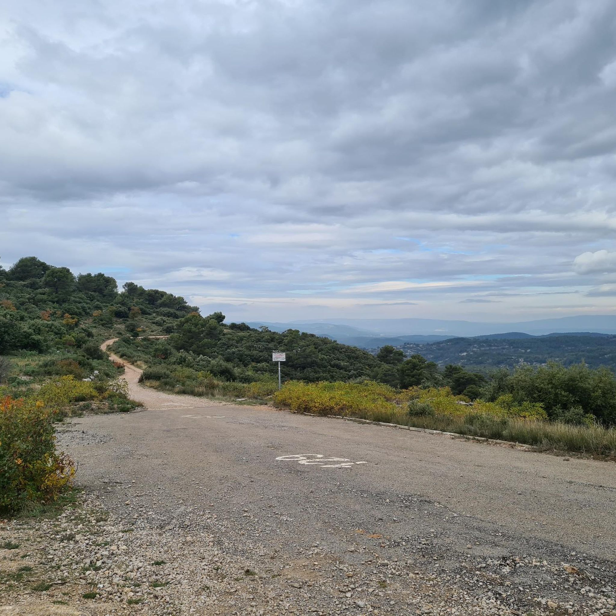
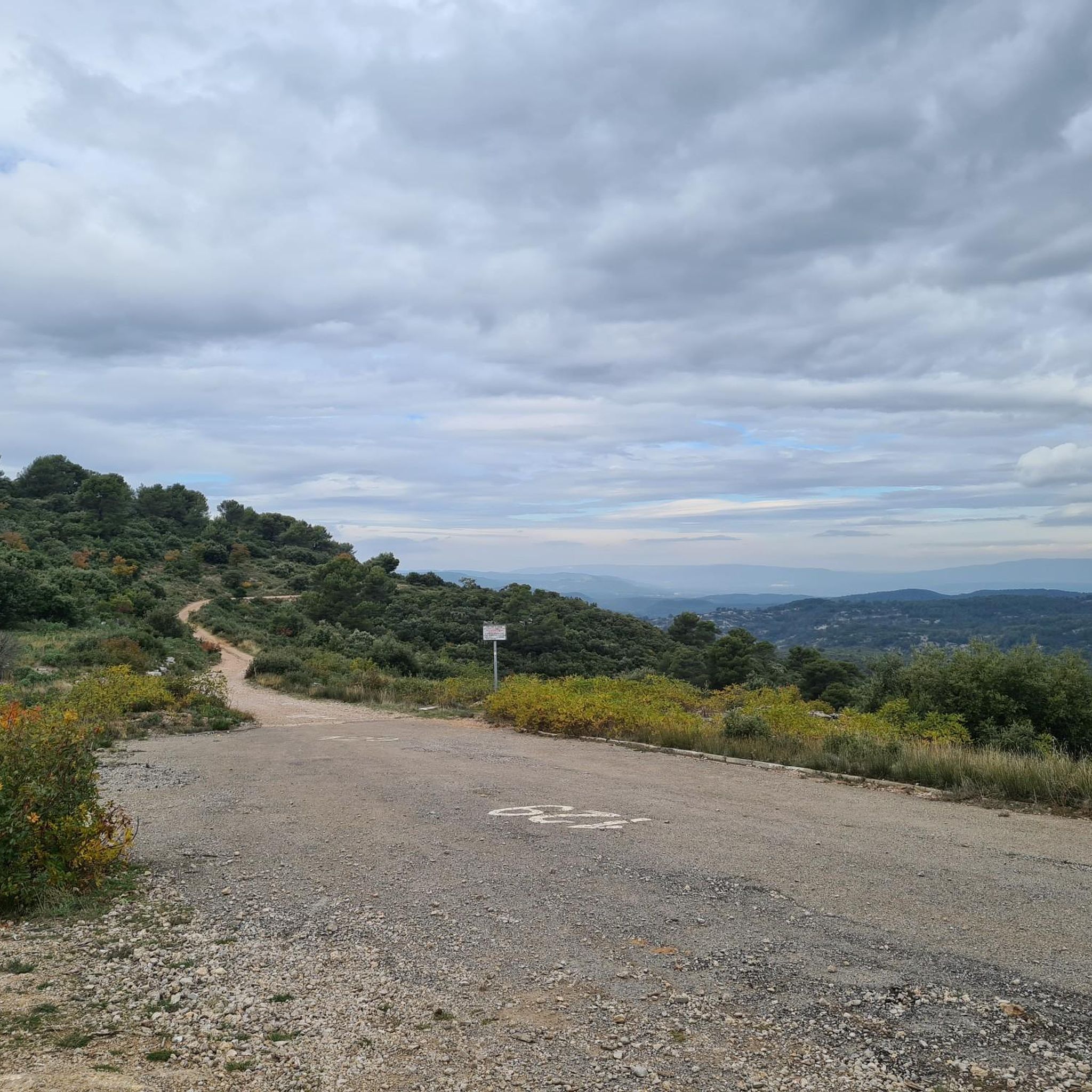
Magical place, panoramic view from the "balcony".
1
0

Frequently Asked Questions
How many mountaineering routes are available around Vauvenargues?
Vauvenargues offers a selection of 14 mountaineering routes, primarily centered around the majestic Montagne Sainte-Victoire. These routes cater to various skill levels, with 3 moderate and 11 difficult options.
Are there any moderate mountaineering routes suitable for those looking for a less strenuous climb?
Yes, there are several moderate routes. For example, you could try the Sainte-Victoire ✌️ loop from Saint-Marc-Jaumegarde, which is a 10.3 km path offering a mix of forest roads and trails with views of the Etoile mountain range. Another moderate option is the Sainte-Victoire ✌️ loop from Château de Vauvenargues, a 10.2 km trail leading through the foothills.
What kind of terrain can I expect on mountaineering routes in Vauvenargues?
The terrain around Vauvenargues is quite varied, reflecting the diverse landscape of Montagne Sainte-Victoire. You can expect a mix of rocky and loose ground, forest roads, and trails that include scramble passages, some with exposed sections. Appropriate hiking boots and equipment are highly recommended.
Are there any circular mountaineering routes in the area?
Yes, many of the routes are circular. A challenging option is the Sainte-Victoire ✌️ – Savonette Pass loop from Saint-Antonin-sur-Bayon, a 6.6 km difficult route with significant elevation gain. For a moderate circular experience, consider the Pic des Mouches – Col des Portes loop from Parking du Puits d'Auzon, which is 7.18 km long.
What are some of the notable natural features or landmarks I might see while mountaineering?
The primary natural feature is the iconic Montagne Sainte-Victoire itself, offering breathtaking views of the Etoile mountain range, the Alps, and Provence. From higher elevations, you can often glimpse the Croix de Provence and the Sainte-Victoire Priory. The historic Château de Vauvenargues, once home to Pablo Picasso, also serves as a significant landmark and a starting point for some loops.
What do other mountaineers say about the routes in Vauvenargues?
The mountaineering routes in Vauvenargues are highly regarded by the komoot community, holding an impressive average rating of 4.75 stars from over 8 reviews. Mountaineers often praise the varied terrain and the inspiring vistas of the Montagne Sainte-Victoire.
Are there any particularly challenging mountaineering routes for experienced climbers?
Absolutely. For those seeking a significant challenge, the Sainte-Victoire ✌️ loop from Saint-Antonin-sur-Bayon is a difficult 6.83 km route that will test your endurance and skill on the slopes of Sainte-Victoire. The region has a total of 11 difficult routes for advanced mountaineers.
Are there any lakes or water features near the mountaineering trails?
Yes, the area features some beautiful water bodies. You can find Lake Bimont and the Zola Dam nearby, which can be interesting points of interest to explore in conjunction with your mountaineering adventures.
Is there public transport access to the trailheads in Vauvenargues?
While specific public transport details for each trailhead are not provided, many routes, such as the Sainte-Victoire ✌️ loop from Château de Vauvenargues, start near the village, which may offer more accessible options. It's advisable to check local bus schedules for connections to Vauvenargues and surrounding villages.
What is the best time of year for mountaineering in Vauvenargues?
The region's Mediterranean climate generally makes spring and autumn ideal for mountaineering, offering pleasant temperatures and vibrant landscapes. Summers can be very hot, and some routes might be closed due to fire risk, while winters can bring colder conditions at higher elevations.
Are there any specific starting points for mountaineering routes that are easy to access by car?
Many routes have designated parking areas. For instance, the Pic des Mouches – Col des Portes loop starts from the Parking du Puits d'Auzon, providing a convenient access point for mountaineers arriving by car.
Most popular routes around Vauvenargues
Most popular attractions around Vauvenargues

Get inspired with the komoot mobile app


Explore more
Browse the best Mountain Hikes & Routes in other regions.
