The best MTB trails around Saint-Michel-Sur-Savasse
4.6
(101)
496
riders
85
rides
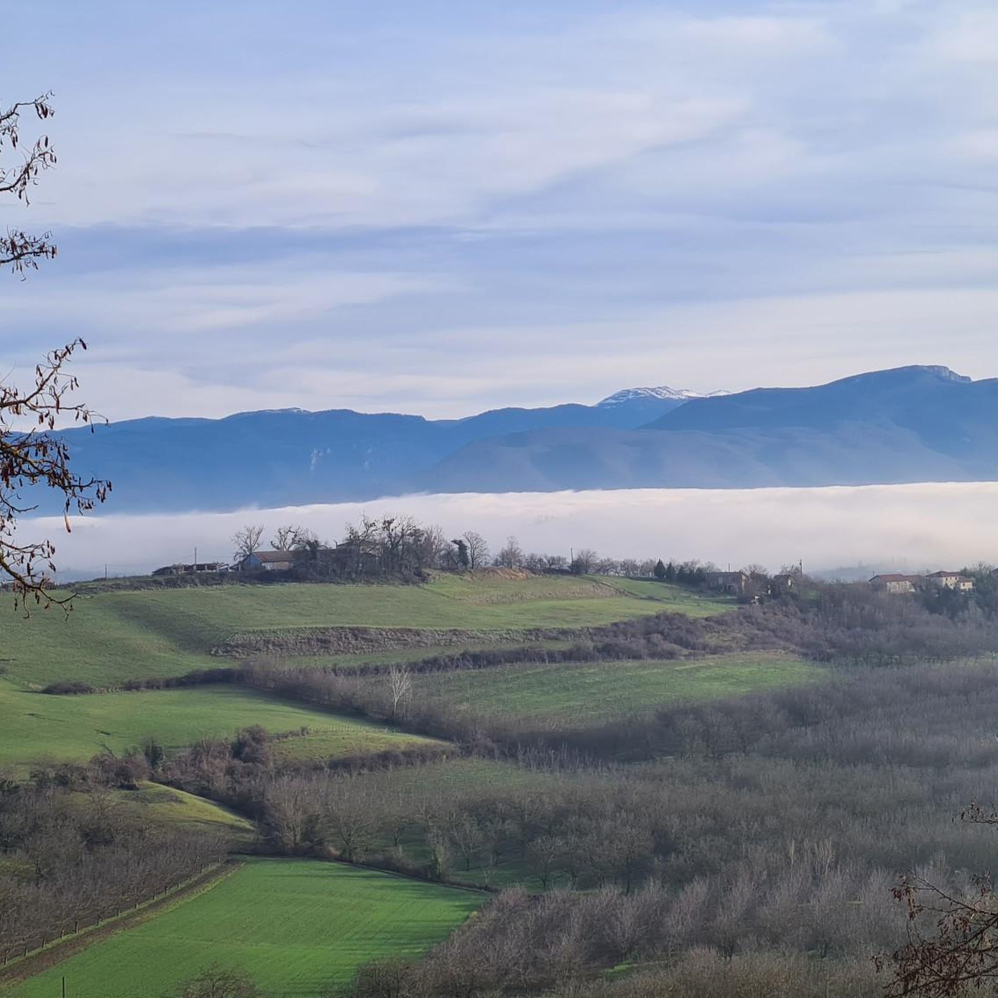
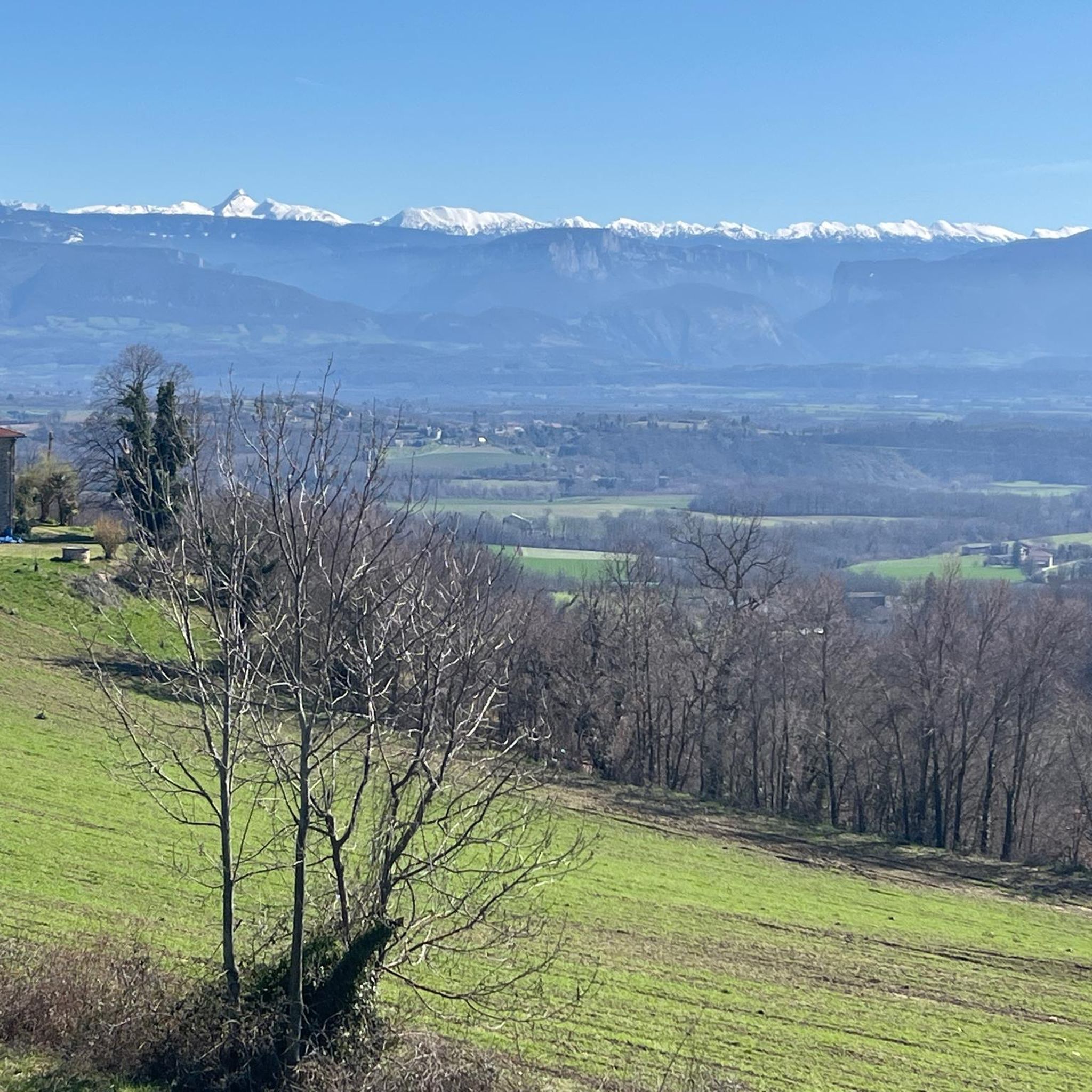
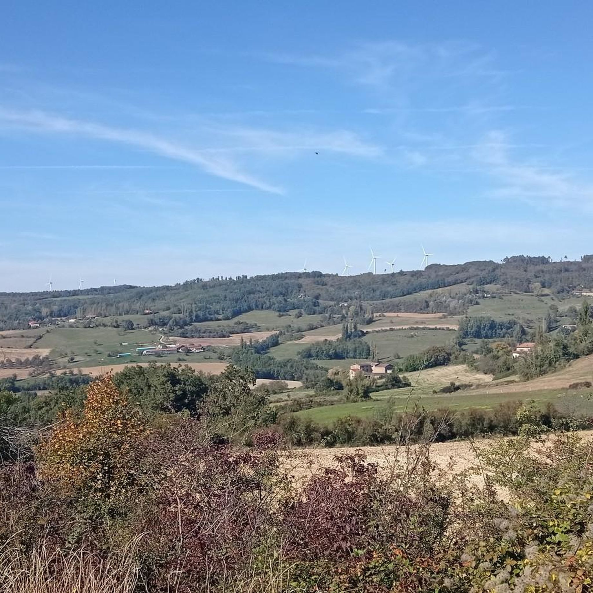
Mountain biking around Saint-Michel-Sur-Savasse is characterized by a varied landscape, featuring a main valley irrigated by the Savasse river, flanked by two distinct ridge lines known as "feytas" that ascend to approximately 500 meters. This terrain offers a mix of cultivated fields, orchards, pastures on hillsides, and wooded areas crowning the summits. The region provides panoramic views of the Vercors massif to the east, the Isère plain to the south, and the foothills of the Ardèche plateau to the west.
…Last updated: June 29, 2026
4.7
(3)
37
riders
36.8km
03:13
740m
740m
Moderate mountain bike ride. Good fitness required. Suitable for all skill levels.
4.5
(2)
12
riders
19.1km
01:39
380m
380m
Moderate mountain bike ride. Good fitness required. Suitable for all skill levels.

Sign up for free
4.5
(2)
10
riders
30.0km
02:43
580m
580m
Moderate mountain bike ride. Good fitness required. Suitable for all skill levels.
10
riders
29.0km
02:46
640m
640m
Moderate mountain bike ride. Good fitness required. Suitable for all skill levels.
4.8
(5)
7
riders
26.3km
02:14
510m
520m
Moderate mountain bike ride. Good fitness required. Suitable for all skill levels.
Get access to more routes and recommendations from other explorers.
Sign up for free
Already have an account?
Our route recommendations are based on thousands of hikes, rides, and runs completed by other people on komoot.
Start today with a free account
Your next adventure awaits.
Login or Signup


Tips from the Community

big problem to get through. take the path next to it.
0
0

Fishing pond that is ideal for a relaxing stroll. Signs show the layperson the types of fish. There is a large car park with a toilet nearby.
0
0

The castle of Sallmard or Peyrins was built in the 17th century. During the Second World War the castle, within which there was a children's home, gave shelter to 130 Jewish children by hiding them among its residents.
0
0
These are two water reservoirs which allow fishing as well as a walking and nature discovery trail. There is also an observatory and identification panels for the species that can be observed there.
0
0

No technical path apart from the hills of Mours
1
0

Saint-Michel-sur-Savasse is a small town typical of the region. Surrounded by ridges called “feytas”, the village is in the center of a small valley where the Savasse flows. You will find meadows and orchards in the surroundings. The town offers superb views of the Vercors, the Isère plain or the foothills of the Ardèche.
0
0

Multiple paths winding all over the hill there is something for all tastes and all levels
1
0
Frequently Asked Questions
How many mountain bike trails are there in Saint-Michel-Sur-Savasse?
There are over 85 mountain bike trails around Saint-Michel-Sur-Savasse, offering a wide range of options for different skill levels and preferences.
What kind of landscape can I expect on the mountain bike trails?
The trails in Saint-Michel-Sur-Savasse feature a varied landscape, including a main valley irrigated by the Savasse river, flanked by 'feytas' ridges that ascend to about 500 meters. You'll encounter cultivated fields, orchards, pastures on hillsides, and wooded areas, with panoramic views of the Vercors massif, the Isère plain, and the foothills of the Ardèche plateau.
What are the different difficulty levels of mountain bike trails available?
The area offers a good mix of trails for all abilities. You'll find 17 easy routes, 61 moderate routes, and 7 difficult routes, ensuring there's something for every mountain biker.
Are there any interesting landmarks or places to explore along the mountain bike trails?
Yes, the region offers several points of interest. You might encounter historical sites like Saint-Antoine-l'Abbaye, religious buildings such as the Collegiate Church of Saint Peter and Saint Paul, or natural features like the Col de la Madeleine (Chambarans). Some routes also offer views of the Route des Crêtes.
What do other mountain bikers say about the trails in Saint-Michel-Sur-Savasse?
The routes in Saint-Michel-Sur-Savasse are highly rated by the komoot community, with an average score of 4.6 stars from more than 90 reviews. Over 500 mountain bikers have used komoot to explore the varied terrain, often praising the scenic views and diverse landscapes.
Are there mountain bike trails suitable for families?
Yes, with 17 easy routes available, there are options suitable for families looking for a less strenuous mountain biking experience. These trails typically feature gentler gradients and less technical terrain.
Can I bring my dog on the mountain bike trails?
While many trails in natural areas are dog-friendly, it's always best to check local regulations or specific trail signage for each route. Ensure your dog is well-behaved, on a leash where required, and that you clean up after them.
Where can I park my car when mountain biking in Saint-Michel-Sur-Savasse?
Many routes start from villages like Geyssans or Montmiral, where you can typically find public parking. The village square of Saint-Michel-sur-Savasse also serves as a starting point for trails, suggesting parking availability there.
Are there any circular mountain bike routes?
Yes, many of the trails are designed as loops. For example, the Access to the Forest of Mours – View on arthemonay loop from Geyssans and the Mours Hills – Mini Bike Park loop from Geyssans are popular circular options.
What are some longer mountain bike routes for experienced riders?
For longer rides, consider routes like the Montmiral church – Saint-Michel-sur-Savasse loop from Montmiral, which is 29.0 km long, or the Grave of Willi Münzenberg – Montmiral church loop from Montmiral, spanning 29.3 km and featuring significant elevation changes.
Is public transport available to reach the mountain bike trails?
While specific public transport links directly to trailheads in Saint-Michel-sur-Savasse are limited, the area is relatively close to Romans-sur-Isère (13 km away), which may offer broader transport options. It's advisable to check local bus schedules for connections to smaller villages.
What is the best time of year for mountain biking in Saint-Michel-Sur-Savasse?
The varied terrain, including wooded areas and river valleys, makes the region enjoyable across multiple seasons. Spring and autumn generally offer pleasant temperatures and vibrant scenery, while summer can be great for early morning or late afternoon rides to avoid peak heat.
Where can I find accommodation or places to eat near the trails?
Saint-Michel-sur-Savasse and nearby towns like Romans-sur-Isère offer various accommodation options, from guesthouses to hotels. You can also find local cafes and restaurants to refuel after your ride. For more local information, you can visit the Valence Romans Tourisme website.
Most popular routes around Saint-Michel-Sur-Savasse
Most popular attractions around Saint-Michel-Sur-Savasse

Get inspired with the komoot mobile app


Explore more
Browse the best MTB trails in other regions.
