The best mountain hikes around Venelles
4.7
(5)
47
hikers
7
hikes
Mountaineering routes around Venelles are defined by the dramatic landscapes of the Bouches-du-Rhône department, offering diverse terrain for outdoor enthusiasts. The region is dominated by the iconic Sainte-Victoire Mountain, which features both vertiginous white limestone cliffs and more gently sloping northern faces. This varied topography provides significant elevation changes and challenging rock formations, making it suitable for technical mountaineering. The area's natural features, including its authentic Provencal charm, contribute to a compelling destination for those seeking demanding outdoor experiences.
Best…
Last updated: June 26, 2026
5.0
(1)
5
hikers
6.46km
03:12
550m
550m
Hard mountaineering route. Good fitness required. Sure-footedness, sturdy shoes and alpine experience required.
5.0
(3)
11
hikers
Moderate mountaineering route. Good fitness required. Mostly accessible paths. Sure-footedness required.

Sign up for free
4.0
(1)
8
hikers
10.2km
04:24
540m
540m
Moderate mountaineering route. Good fitness required. Mostly accessible paths. Sure-footedness required.
6
hikers
11.3km
04:56
740m
740m
Hard mountaineering route. Good fitness required. Sure-footedness, sturdy shoes and alpine experience required.
4
hikers
Hard mountaineering route. Good fitness required. Sure-footedness, sturdy shoes and alpine experience required.
Get access to more routes and recommendations from other explorers.
Sign up for free
Already have an account?
Our route recommendations are based on thousands of hikes, rides, and runs completed by other people on komoot.
Start today with a free account
Your next adventure awaits.
Login or Signup
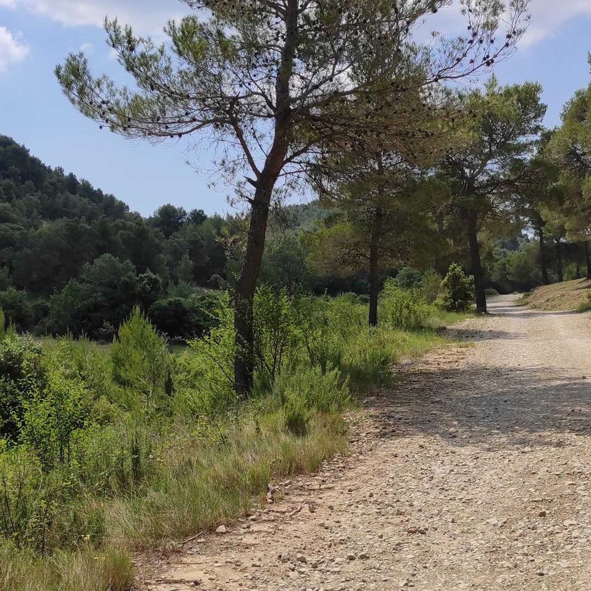
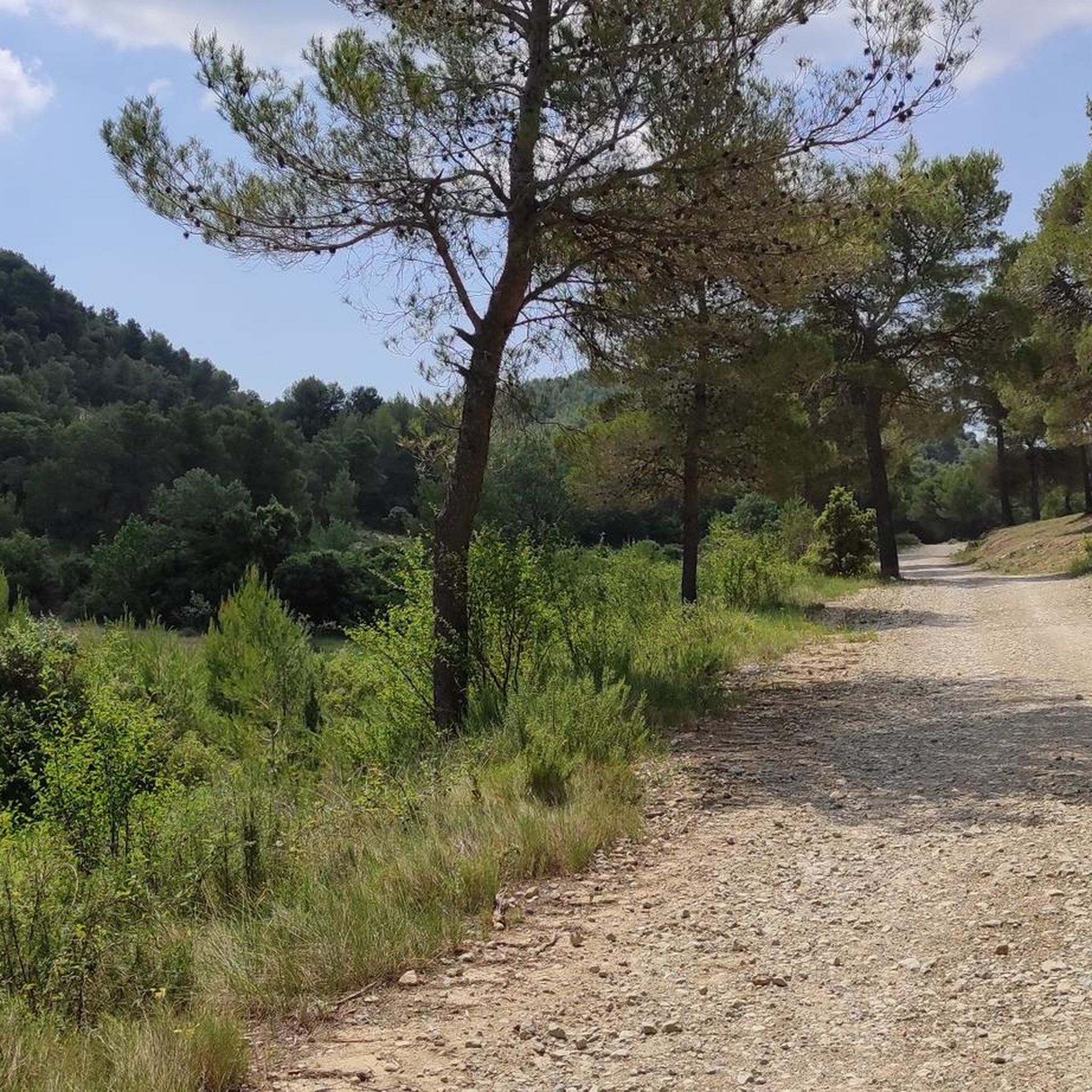
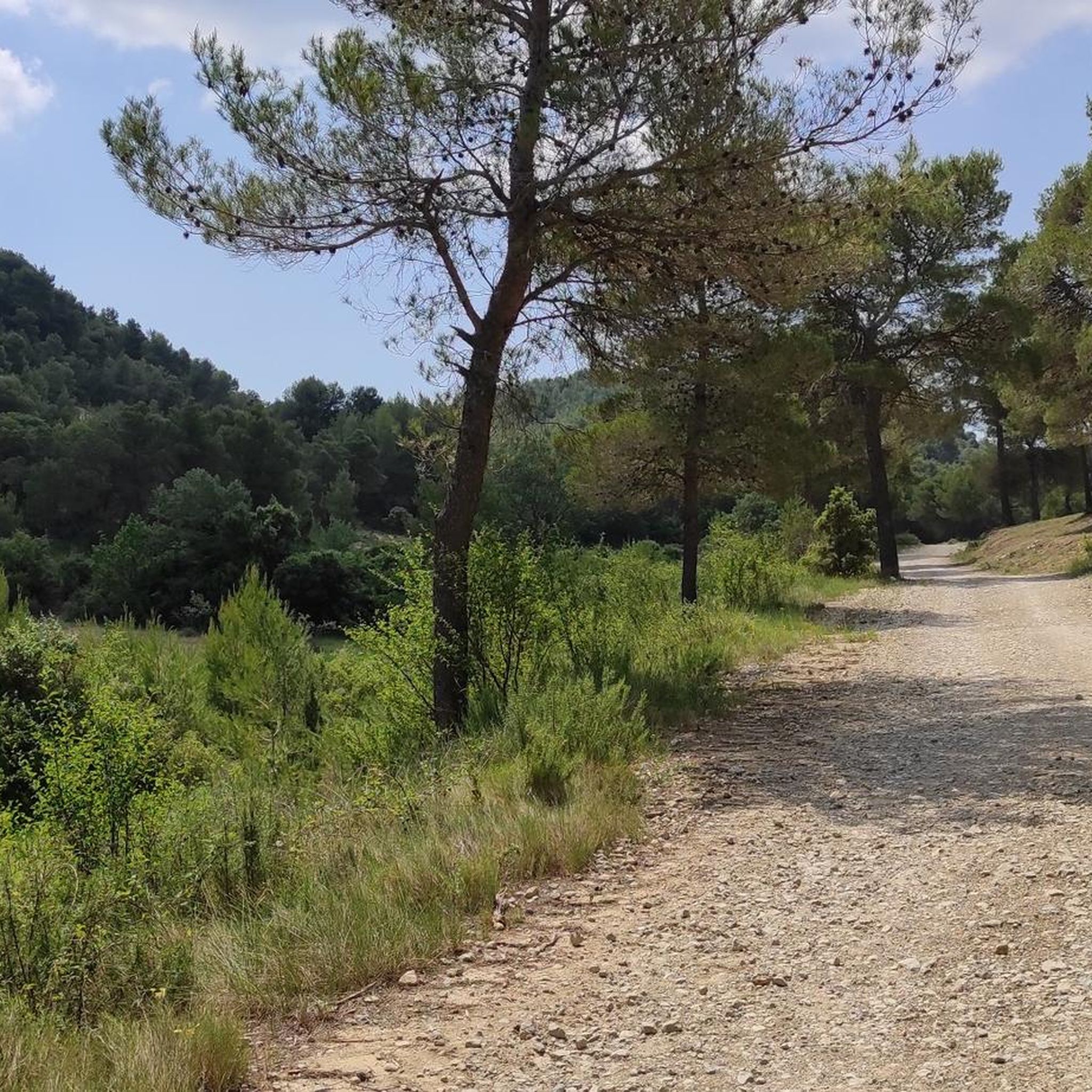
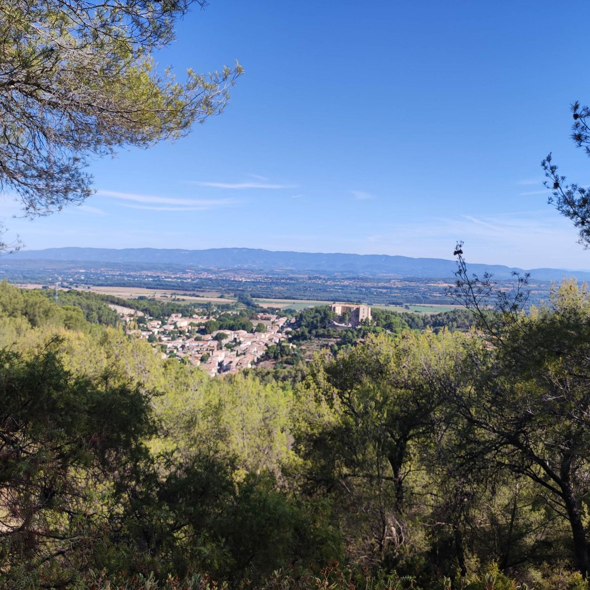

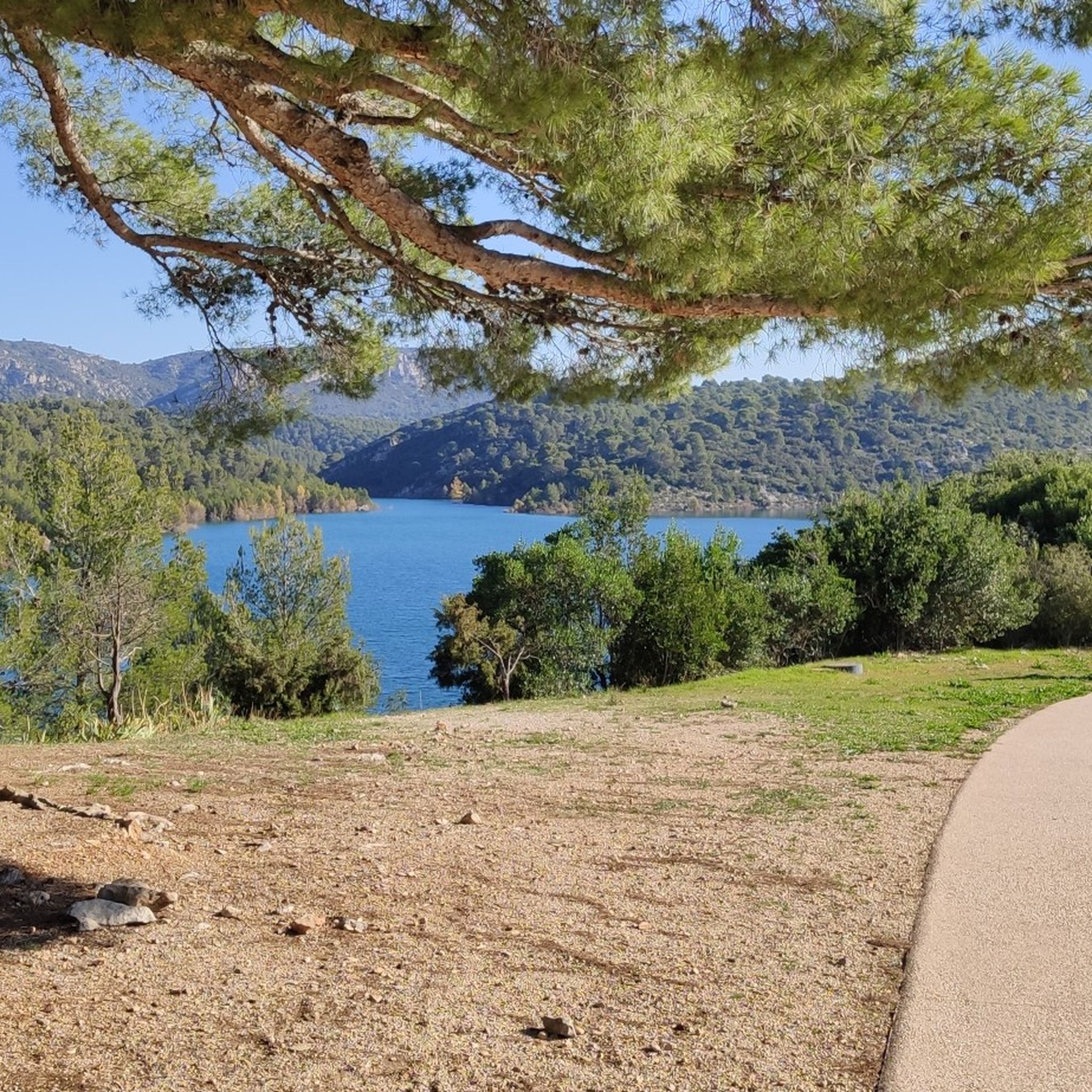
Tips from the Community

Viewpoint. Must be seen once.
0
0
Beautiful, it's also a good place to take a nap or just rest under the shade.
1
0

Magical place, panoramic view from the "balcony".
1
0

beautiful but dangerous on the way down (even on the way up if you are not used to it)
0
0

Attention ⚠️ trail closed since October and during 2025
1
0

superb hike, to do in the morning. be well-shod because there are many rocks to cross. Take plenty of water. superb priory below the cross.
1
0
Frequently Asked Questions
What is the general difficulty level of mountaineering routes around Venelles?
Mountaineering routes in the Venelles region are primarily challenging, with the majority rated as difficult. There are also a few moderate options available, but no easy routes are listed, indicating a focus on more strenuous experiences. The terrain, dominated by Sainte-Victoire Mountain, features significant elevation changes and dramatic limestone cliffs.
Are there any circular mountaineering routes near Venelles?
Yes, several mountaineering routes around Venelles are circular. For instance, you can explore the Sainte-Victoire ✌️ – Savonette Pass loop from Saint-Antonin-sur-Bayon, which is a difficult 4.1-mile (6.6 km) trail. Another popular option is the Sainte-Victoire ✌️ loop from Saint-Marc-Jaumegarde, a moderate 6.4-mile (10.3 km) route offering diverse terrain.
What kind of views can I expect on mountaineering routes in Venelles?
The mountaineering routes around Venelles offer spectacular panoramic views, primarily centered around the iconic Sainte-Victoire Mountain and the broader Provencal landscape. You can find specific viewpoints like the Concors Lookout and the View of Montagne Sainte-Victoire and Gardanne from Montaiguet Summit. The Croix de Provence also offers a significant summit view.
Are there any longer mountaineering routes for experienced climbers?
For those seeking a longer and more demanding experience, the Sainte-Victoire ✌️ loop from Vauvenargues is a difficult 8.7-mile (13.9 km) route with substantial elevation gain, making it suitable for experienced mountaineers looking for a sustained challenge.
What are some notable natural landmarks or attractions near the mountaineering trails?
Beyond the stunning mountain itself, you can discover several natural and historical landmarks. Lake Bimont is a beautiful spot, and the Sainte-Victoire Priory offers a historical point of interest. The region's diverse landscape also includes dramatic limestone cliffs and varied terrain.
What do other mountaineers say about the routes in Venelles?
The mountaineering routes around Venelles are highly regarded by the komoot community, holding an average score of 4.75 stars from over 8 reviews. Users frequently praise the challenging ascents, the dramatic scenery of Sainte-Victoire, and the rewarding panoramic views of the Provencal landscape.
Are there any moderate mountaineering options for those not ready for difficult routes?
Yes, while many routes are difficult, there are moderate options available. The Sainte-Victoire ✌️ loop from Saint-Marc-Jaumegarde is a moderate 6.4-mile (10.3 km) trail, and the Sainte-Victoire ✌️ loop from Château de Vauvenargues is another moderate 6.3-mile (10.2 km) option, both offering a good balance of challenge and accessibility.
What is the best time of year for mountaineering in Venelles?
Given the region's diverse climate, transitioning from Mediterranean to upland grasslands, spring and autumn generally offer the most pleasant conditions for mountaineering around Venelles. Summers can be very warm, and while winter mountaineering is possible, it requires careful attention to weather conditions and potential snow or ice at higher elevations on Sainte-Victoire Mountain.
What kind of terrain can I expect on the mountaineering routes?
The terrain around Venelles is highly varied, characterized by the prominent Sainte-Victoire Mountain. You'll encounter dramatic white limestone cliffs, more gently sloping northern faces, and significant elevation changes. This diverse landscape provides a mix of rocky paths, technical sections, and sometimes forested areas, offering a robust and challenging environment for mountaineering.
How many mountaineering routes are available in the Venelles area?
There are nearly a dozen mountaineering routes available around Venelles, offering a range of experiences primarily focused on moderate to difficult challenges. These routes allow you to explore the iconic Sainte-Victoire Mountain and its surrounding Provencal landscapes.
Are there any specific passes or notable trail features on the routes?
Yes, some routes feature notable passes and trail sections. For example, the Sainte-Victoire ✌️ – Savonette Pass loop from Saint-Antonin-sur-Bayon includes a challenging ascent through the Savonette Pass. Additionally, the Pas du Tonne (Alt 773 m) is highlighted as a difficult trail section in the area.
Most popular routes around Venelles
Most popular attractions around Venelles

Get inspired with the komoot mobile app


Explore more
Browse the best Mountain Hikes & Routes in other regions.
