The best mountain hikes around Saint-Marc-Jaumegarde
4.4
(7)
60
hikers
10
hikes
Mountaineering routes around Saint-Marc-Jaumegarde are centered on the iconic Montagne Sainte-Victoire, a prominent limestone ridge near Aix-en-Provence. The region features a diverse landscape of small valleys, hills, and pine forests, with the artificial lakes Bimont and Zola adding to the natural features. This area offers a variety of challenging routes across its varied terrain, including exposed sections and panoramic viewpoints.
Best mountaineering routes around Saint-Marc-Jaumegarde
- The most popular mountaineering route is Sainte-Victoire ✌️ – Savonette Pass loop from Saint-Antonin-sur-Bayon,…
Last updated: September 29, 2026
4.3
(3)
20
hikers
6.51km
03:14
550m
550m
Hard mountaineering route. Good fitness required. Sure-footedness, sturdy shoes and alpine experience required.
5.0
(3)
10
hikers
Moderate mountaineering route. Good fitness required. Mostly accessible paths. Sure-footedness required.

4.0
(1)
7
hikers
10.2km
04:24
540m
540m
Moderate mountaineering route. Good fitness required. Mostly accessible paths. Sure-footedness required.
6
hikers
11.3km
04:56
740m
740m
Hard mountaineering route. Good fitness required. Sure-footedness, sturdy shoes and alpine experience required.
3
hikers
Hard mountaineering route. Good fitness required. Sure-footedness, sturdy shoes and alpine experience required.
Get access to more routes and recommendations from other explorers.
Already have an account?
Our route recommendations are based on thousands of hikes, rides, and runs completed by other people on komoot.
Start today with a free account
Your next adventure awaits.

Tips from the Community

Great climbing in the 2nd grade on rough limestone.
0
0

Viewpoint. Must be seen once.
0
0
Beautiful, it's also a good place to take a nap or just rest under the shade.
1
0

Magical place, panoramic view from the "balcony".
1
0

beautiful but dangerous on the way down (even on the way up if you are not used to it)
0
0

Attention ⚠️ trail closed since October and during 2025
1
0
Frequently Asked Questions
What is the overall difficulty level of mountaineering routes around Saint-Marc-Jaumegarde?
The mountaineering routes around Saint-Marc-Jaumegarde, primarily on Montagne Sainte-Victoire, are generally challenging. Out of 13 routes, 11 are classified as difficult, with 2 moderate options. These routes often feature exposed sections and significant elevation changes, making them suitable for experienced mountaineers. For example, the Sainte-Victoire ✌️ – Savonette Pass loop from Saint-Antonin-sur-Bayon is a difficult route with over 550 meters of elevation gain.
Are there any circular mountaineering routes in the area?
Yes, many of the mountaineering routes around Saint-Marc-Jaumegarde are circular, allowing you to start and end at the same point. A popular option is the Sainte-Victoire ✌️ loop from Saint-Marc-Jaumegarde, which offers expansive views of the Provençal countryside. Another is the Sainte-Victoire ✌️ loop from Château de Vauvenargues, leading through the Montagne Sainte-Victoire.
What are the best viewpoints or natural attractions to see along the mountaineering trails?
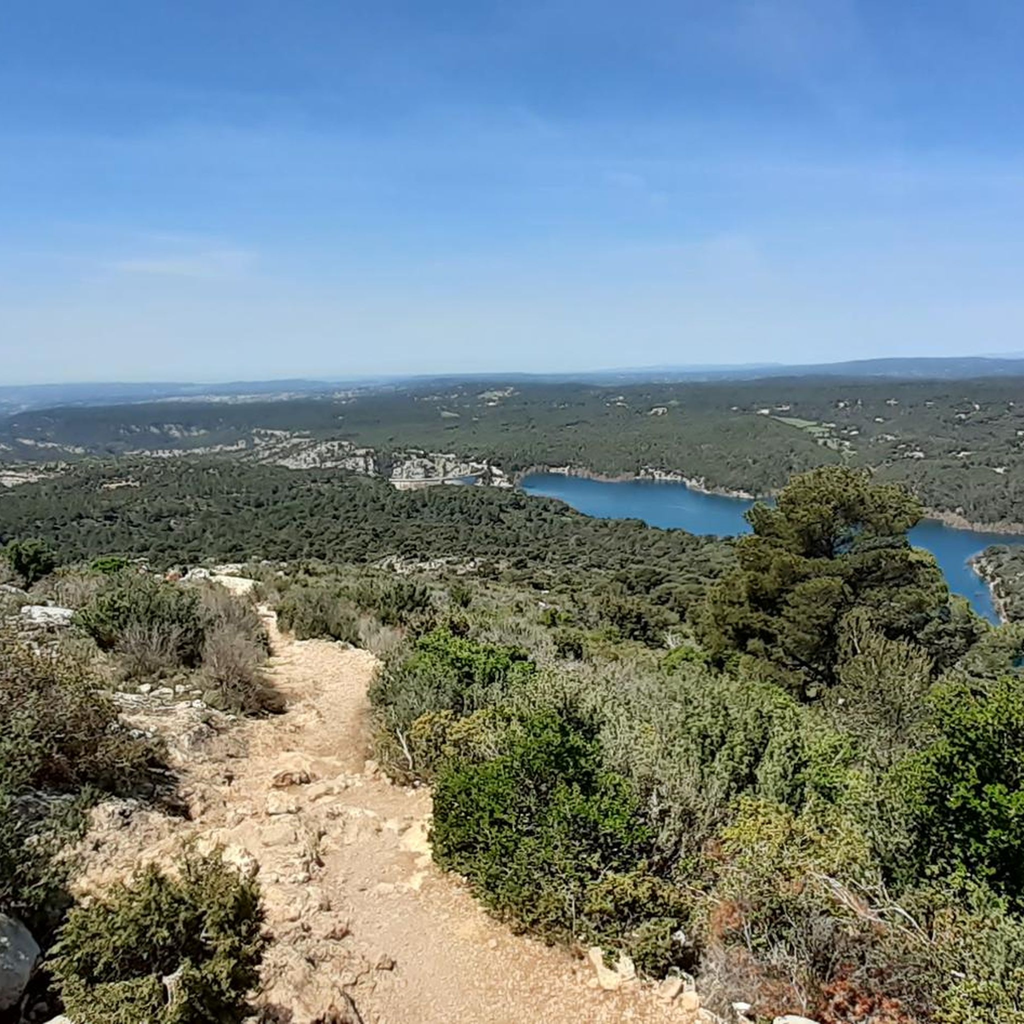
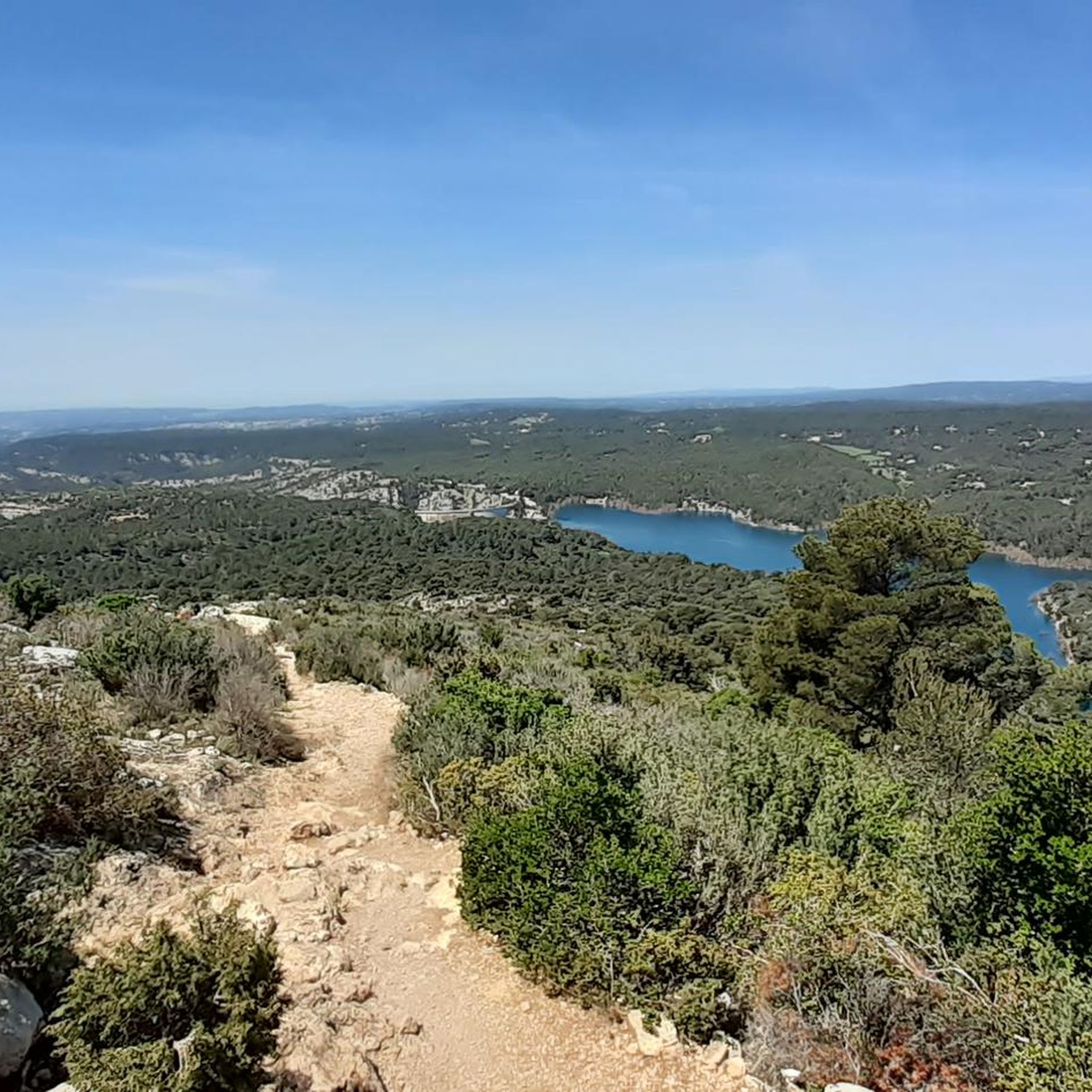
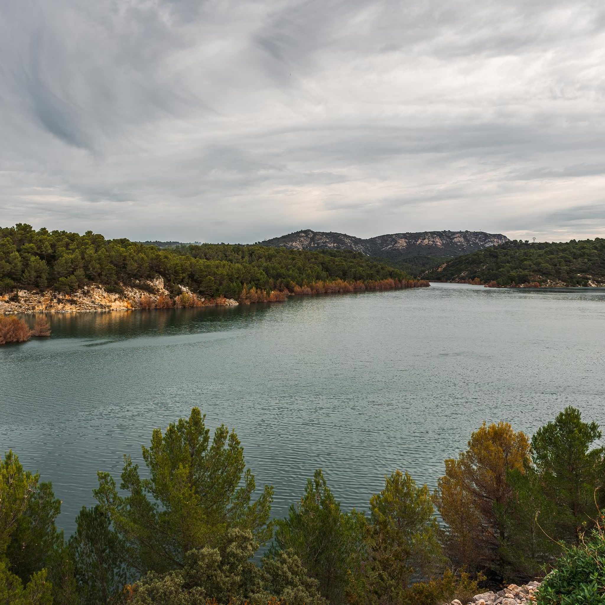
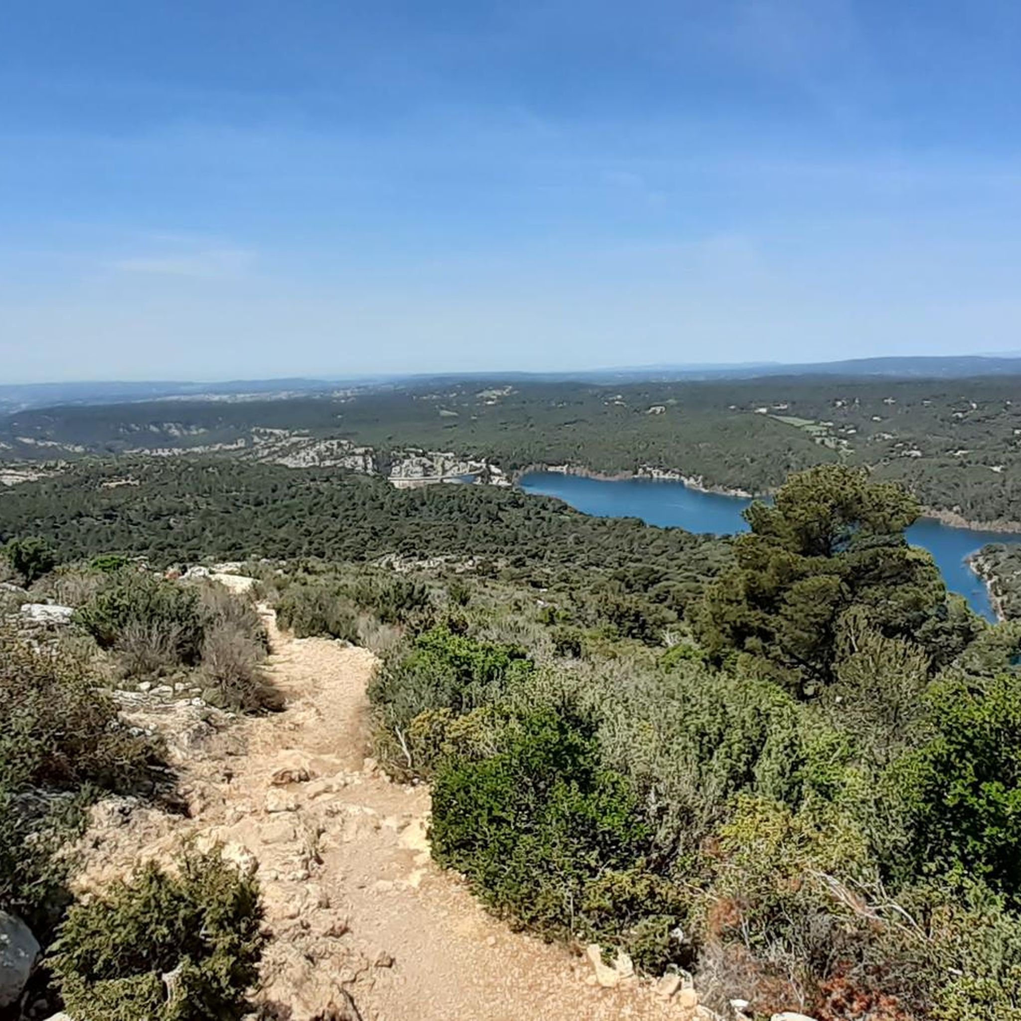
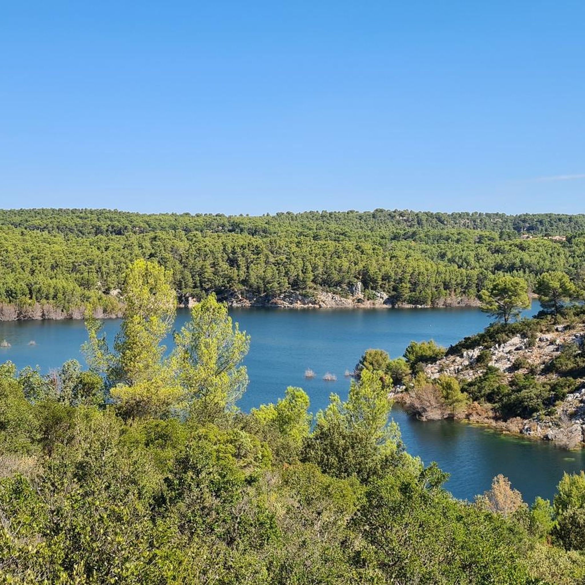
The Montagne Sainte-Victoire itself offers spectacular panoramic views, often stretching as far as the Alps and Mont Ventoux on clear days. Notable landmarks and viewpoints include the Croix de Provence and the Pic des Mouches. You can also find picturesque views of the artificial Lake Bimont and Lake Zola, which are often incorporated into hiking routes.
Can I bring my dog on the mountaineering routes?
While many trails in the wider region are dog-friendly, specific regulations may apply within the Montagne Sainte-Victoire massif, especially concerning protected natural areas or during certain seasons due to fire risk. It's always best to check local signage and regulations before heading out with your dog. Generally, dogs should be kept on a leash to protect wildlife and ensure their safety on exposed sections.
Are there any family-friendly mountaineering options suitable for kids?
The majority of mountaineering routes around Saint-Marc-Jaumegarde are rated as difficult, featuring significant elevation and exposed sections, which might not be suitable for young children or inexperienced families. However, the wider Sainte-Victoire massif does offer some easier, family-friendly walks. For mountaineering specifically, routes like the Sainte-Victoire ✌️ loop from Château de Vauvenargues are moderate but still require a good level of fitness.
What is the best season for mountaineering in Saint-Marc-Jaumegarde?
The best seasons for mountaineering around Saint-Marc-Jaumegarde are spring and autumn. During these times, the weather is generally mild and pleasant, with less heat than summer and fewer risks of winter conditions. Summer can be very hot, and fire restrictions may be in place, potentially closing access to some areas of the massif. Winter mountaineering is possible but requires appropriate gear and awareness of potentially icy or snowy conditions at higher elevations.
Are there any routes that take approximately 4 hours to complete?
Yes, several routes can be completed within or around a 4-hour timeframe. For instance, the Sainte-Victoire ✌️ loop from Château de Vauvenargues is a 10.2 km (6.3 miles) trail that typically takes about 4 hours and 24 minutes. Another option, the Sainte-Victoire ✌️ loop from Saint-Antonin-sur-Bayon, is a difficult 6.8 km (4.2 miles) route that takes around 3 hours and 26 minutes, offering a challenging experience within a similar duration.
Where can I find parking for the mountaineering trails?
Parking is generally available at the starting points of many popular trails around the Montagne Sainte-Victoire. For routes originating from Saint-Antonin-sur-Bayon or near Château de Vauvenargues, designated parking areas are usually provided. It's advisable to arrive early, especially during peak seasons, as spaces can fill up quickly. Always ensure you park in marked areas to avoid obstructing access or damaging the natural environment.
What do other mountaineers say about the routes in Saint-Marc-Jaumegarde?
The mountaineering routes around Saint-Marc-Jaumegarde are highly regarded by the komoot community, holding an impressive average rating of 4.75 stars from over 8 reviews. Mountaineers frequently praise the challenging ascents, the diverse terrain of limestone ridges and pine forests, and the rewarding panoramic views from the Sainte-Victoire massif.
Are there less crowded mountaineering routes available?
While the Montagne Sainte-Victoire is a popular destination, you can often find less crowded experiences by choosing routes that start from less common access points or by going during off-peak hours or seasons. Exploring trails that venture further into the massif, away from the most direct paths to the Croix de Provence, can also offer more solitude. For example, the Sainte-Victoire ✌️ loop from Vauvenargues is a longer, more demanding route that might see fewer visitors than shorter, more accessible options.
What kind of gear should I bring for mountaineering in this region?
Given the challenging nature of many routes, it's advisable to bring appropriate mountaineering gear. This includes sturdy hiking boots with good ankle support, layers of clothing suitable for changing weather conditions, plenty of water, snacks, a map or GPS device, and sun protection. For more exposed or technical sections, a helmet and basic climbing equipment might be advisable, as some routes feature free climbing passages up to III/IV-.
Most popular routes around Saint-Marc-Jaumegarde
Most popular attractions around Saint-Marc-Jaumegarde

Get inspired with the komoot mobile app


Explore more
Browse the best Mountain Hikes & Routes in other regions.
