The best road cycling routes around Villebois-Les-Pins
4.5
(40)
785
riders
20
rides
Road cycling routes around Villebois-Les-Pins are situated in the Drôme department of southeastern France, characterized by a mountainous landscape. The region features challenging ascents and panoramic views, connecting to the Baronnies massif. Notable passes like Col de Perty (1,302 meters) and Col de Saint-Jean (1,159 meters) offer significant elevation changes. This terrain provides varied conditions for road cyclists seeking climbs and rewarding vistas.
Best road cycling routes around Villebois-Les-Pins
- The most popular road cycling route is La Charce Castle –…
Last updated: July 2, 2026
4.7
(3)
92
riders
52.6km
02:24
610m
610m
Moderate road ride. Good fitness required. Mostly well-paved surfaces and easy to ride.
4.7
(7)
69
riders
63.7km
02:53
720m
720m
Moderate road ride. Good fitness required. Mostly well-paved surfaces and easy to ride.

Sign up for free
49
riders
114km
05:30
1,560m
1,560m
Hard road ride. Very good fitness required. Mostly well-paved surfaces and easy to ride.
4.0
(1)
45
riders
44.4km
02:49
970m
970m
Hard road ride. Very good fitness required. Some segments of this route may be unpaved and difficult to ride.
4.5
(2)
35
riders
49.0km
02:35
870m
870m
Moderate road ride. Good fitness required. Mostly well-paved surfaces and easy to ride.
Get access to more routes and recommendations from other explorers.
Sign up for free
Already have an account?
Our route recommendations are based on thousands of hikes, rides, and runs completed by other people on komoot.
Start today with a free account
Your next adventure awaits.
Login or Signup
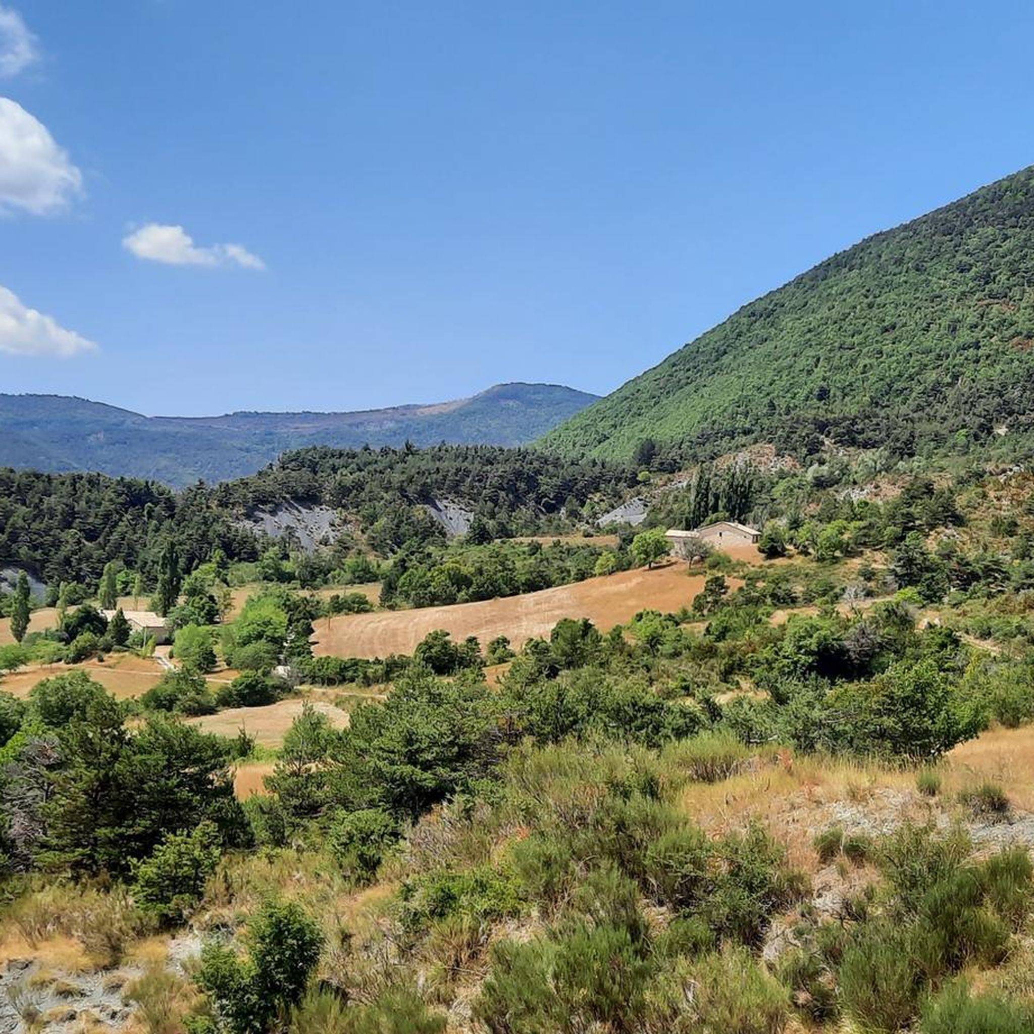
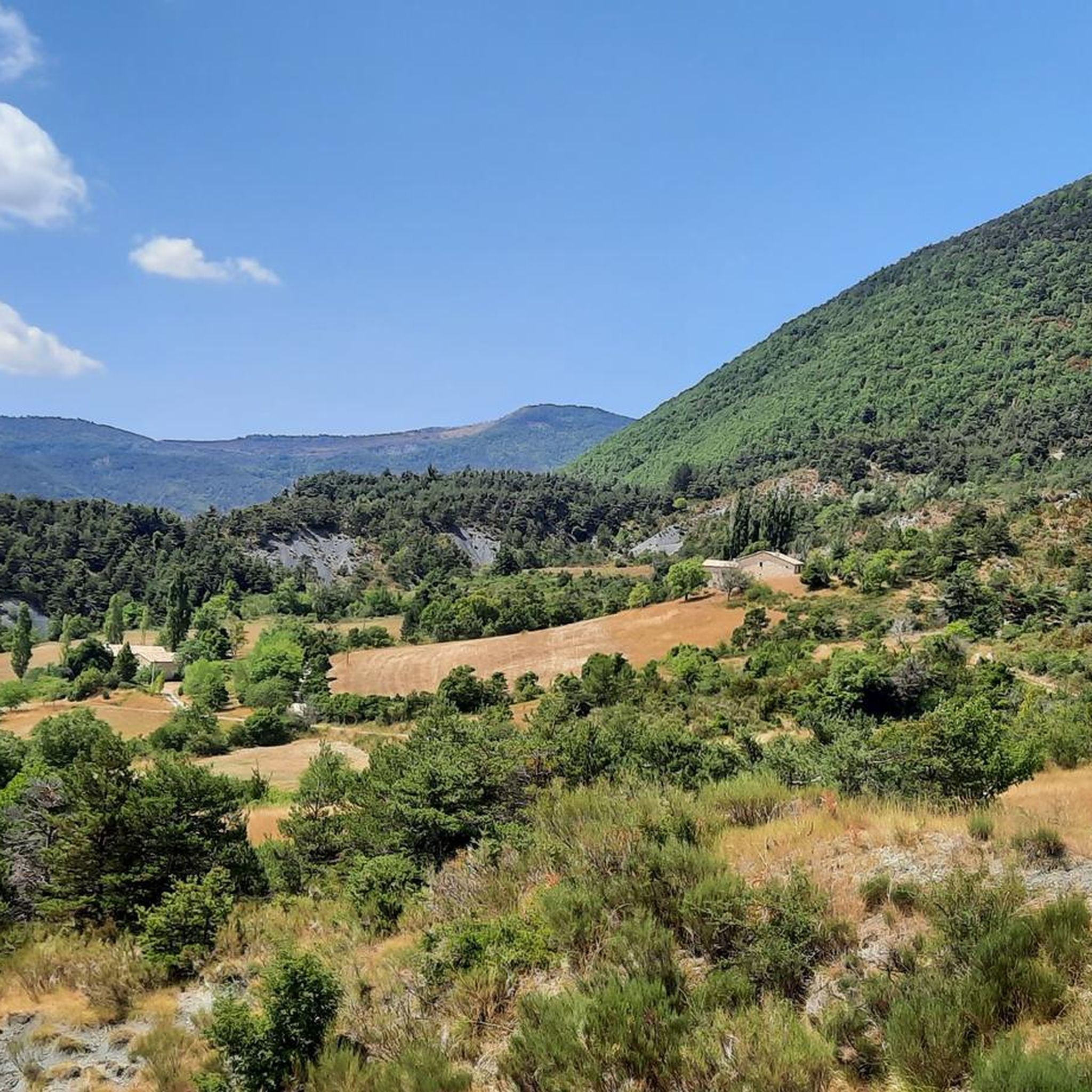
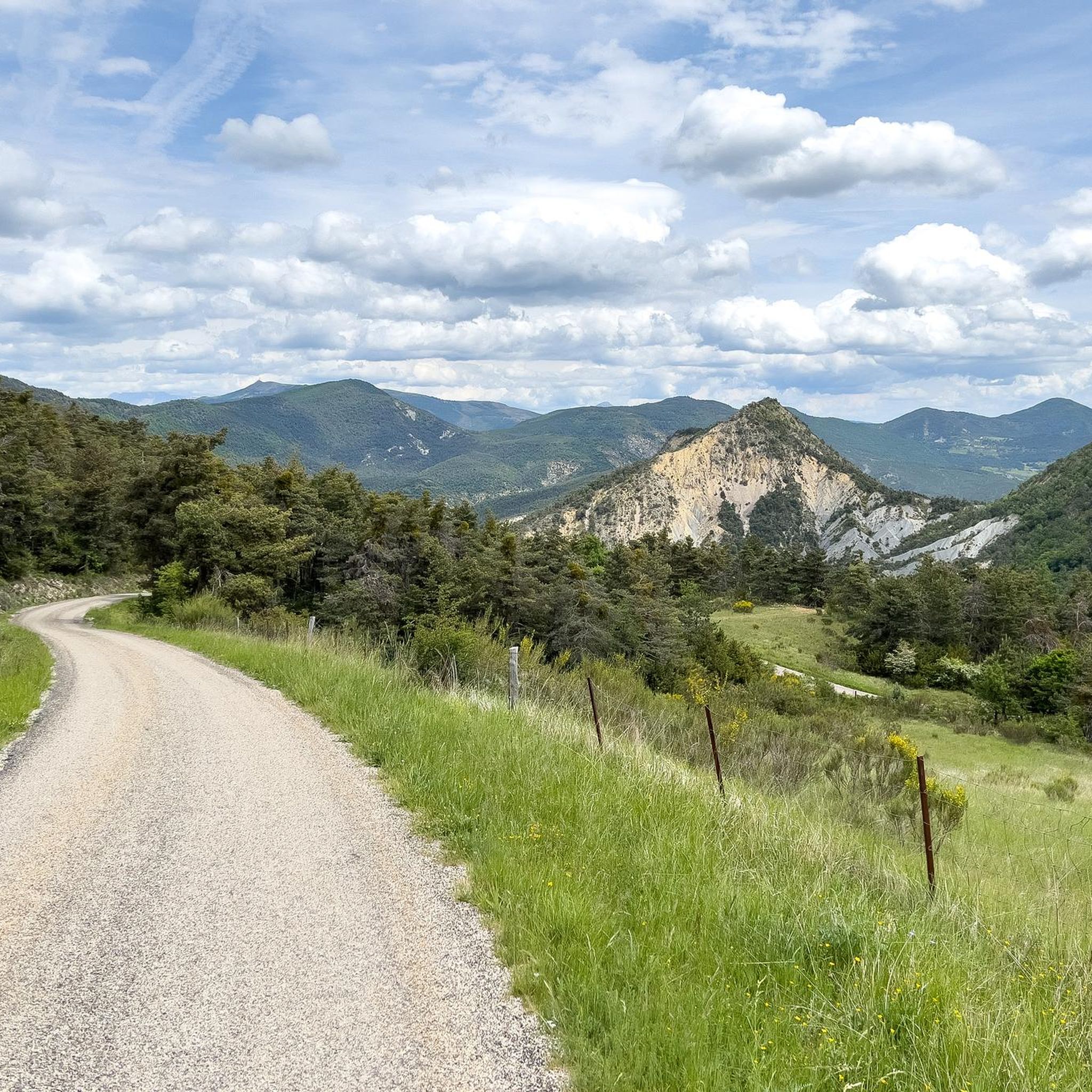
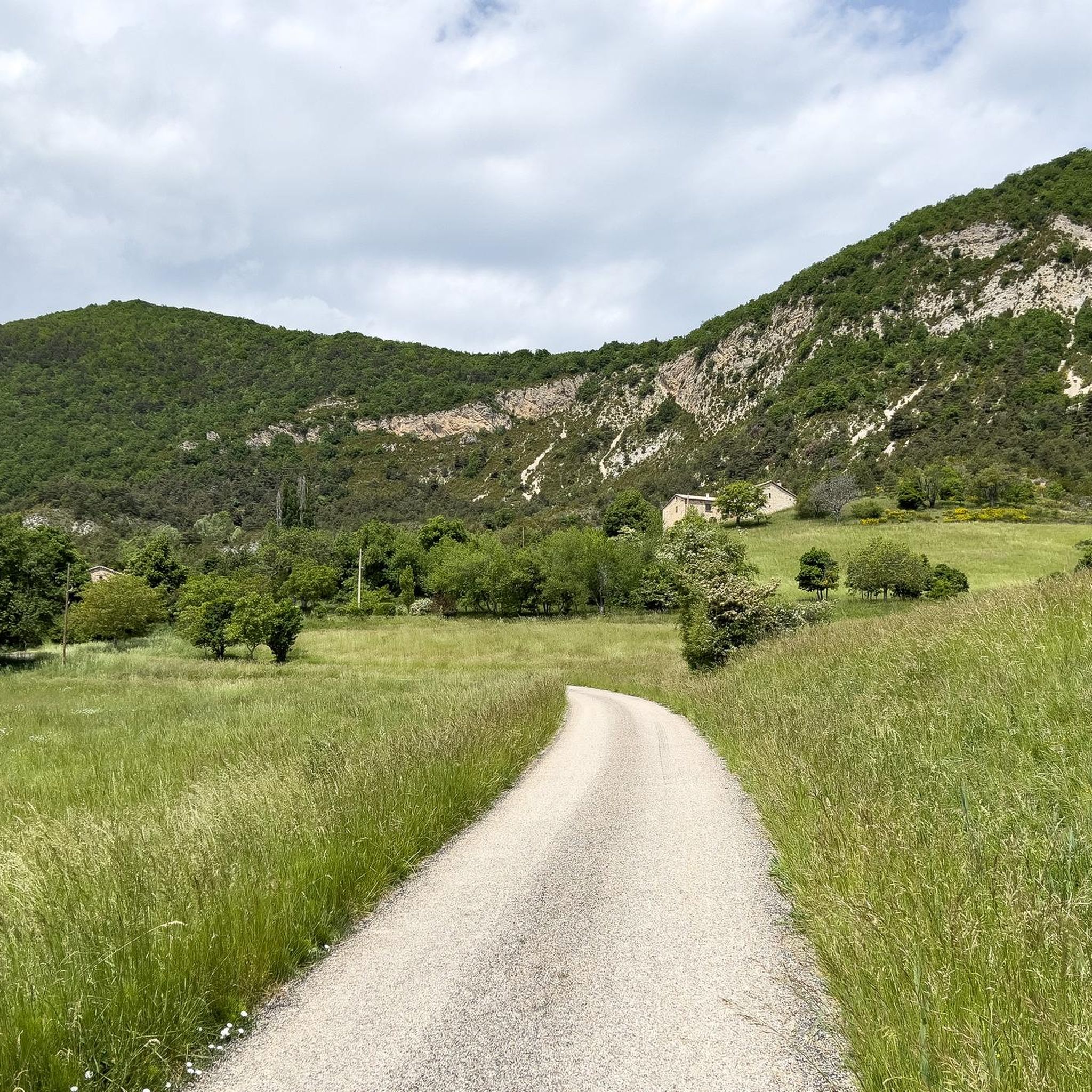
Tips from the Community

Secondary road away from traffic. Asphalt in perfect condition.
8
0
For cyclists: * West side (Montauban-sur-l’Ouvèze / La Combe): 11-12.5 km with an average gradient of around 5%, maximum about 9%. Steady climb, never extreme. * East side (Laborel): 8.5 km at 5.6% on average, with peaks up to 7.7%. This is the shorter and smoother side.
11
0
Col de Perty is located in the Baronnies Provençales massif, in the Drôme department, in the Auvergne-Rhône-Alpes region, in the southeast of France. It reaches an altitude of 1,302 m and connects the Ouvèze valley with the Orpierre area, in the Hautes-Alpes.
11
0
Altitude: 1,159 m * Region: Drôme, on the border with the Hautes-Alpes department. * Connects: the villages of Laborel and Lachau with the Céans valley.
5
0
A road that cuts out the traffic, Unforgettable panoramas
15
0
Panoramic viewpoint for memorable photos
9
0
Frequently Asked Questions
How many road cycling routes are available around Villebois-les-Pins?
There are over 20 road cycling routes around Villebois-les-Pins, offering a range of difficulties from moderate to difficult. The region is known for its mountainous terrain and challenging ascents.
What kind of terrain can I expect on road cycling routes in Villebois-les-Pins?
Road cycling in Villebois-les-Pins is characterized by mountainous terrain with significant elevation changes. You can expect challenging ascents, such as those found on the Perty Pass and Saint-Jean Pass, and rewarding panoramic views of the Baronnies massif.
Are there any circular road cycling routes in the area?
Yes, many routes around Villebois-les-Pins are designed as loops. For example, the difficult route La Charce Castle – COL DE POMMEROL loop from Montjay and the moderate Serres – Montjay loop from Orpierre are popular circular options.
What are some notable landmarks or viewpoints along the road cycling routes?
Cyclists can enjoy panoramic views from mountain passes like the Perty Pass, which offers views of Mont Ventoux, and the Saint-Jean Pass. The region also features charming settlements like Orpierre and Montjay, and the View of the Bagnols ravine.
What is the best time of year for road cycling in Villebois-les-Pins?
The Drôme department, where Villebois-les-Pins is located, generally offers favorable conditions for road cycling from spring through autumn. The summer months provide warm weather, but spring and early autumn can be ideal for avoiding the hottest temperatures while still enjoying pleasant conditions for climbing the cols.
Are there any beginner-friendly road cycling routes?
While many routes in Villebois-les-Pins feature challenging ascents, there are some moderate options available. For instance, the Orpierre – Col de Pierre Vesce loop from Étoile-Saint-Cyrice is a moderate route that allows cyclists to experience the region's beauty without extreme difficulty.
Where can I find parking for road cycling routes in Villebois-les-Pins?
Parking for cyclists is typically available in the villages and towns that serve as starting points for routes, such as Orpierre, Montjay, or Laborel. It's advisable to check local signage upon arrival for designated parking areas.
What do other road cyclists enjoy most about road cycling in Villebois-les-Pins?
The area is highly rated by the komoot community, with an average score of 4.4 stars from over 50 reviews. Cyclists frequently praise the challenging ascents, the rewarding panoramic views, and the varied terrain that defines the region's routes.
Are there cafes or places to stop for refreshments along the routes?
The villages and towns within the Baronnies massif, such as Orpierre, Montjay, and Laborel, often have local cafes, bakeries, or small shops where cyclists can stop for refreshments. Planning your route to pass through these settlements is recommended for breaks.
Can I reach Villebois-les-Pins by public transport with my bike?
Public transport options in this mountainous region can be limited. While some local bus routes might exist, their capacity for bikes can vary. For train travel, the TER network in the Drôme and Hautes-Alpes departments may allow bikes, but it's essential to check specific train line policies and booking requirements in advance.
What is the average elevation gain on routes around Villebois-les-Pins?
Routes in Villebois-les-Pins are known for significant elevation gains due to the mountainous landscape. For example, the La Charce Castle – COL DE POMMEROL loop from Montjay features over 1,200 meters of elevation gain, while the Faye Pass – Buesch dam loop from Orpierre includes over 700 meters.
Are there any routes that pass by water features or dams?
Yes, some routes incorporate water features. The Faye Pass – Buesch dam loop from Orpierre is an example of a route that leads near a dam, offering varied scenery during your ride.
Most popular routes around Villebois-Les-Pins
Most popular attractions around Villebois-Les-Pins

Get inspired with the komoot mobile app


Explore more
Browse the best Road cycling routes in other regions.
