Saint-Martin-De-La-Brasque
Saint-Martin-De-La-Brasque
The best walks and hikes around Saint-Martin-De-La-Brasque
4.4
(589)
3,136
hikers
162
hikes
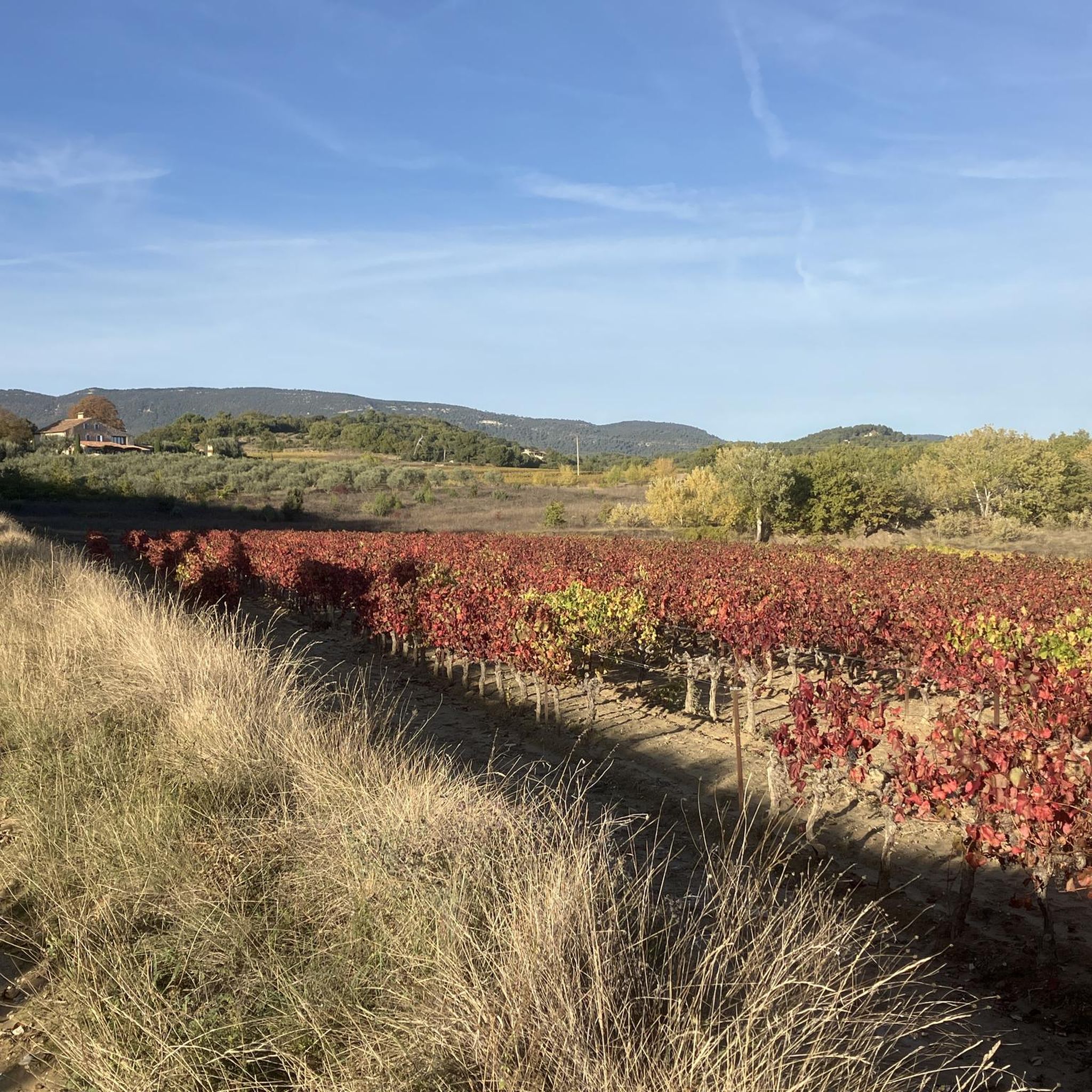
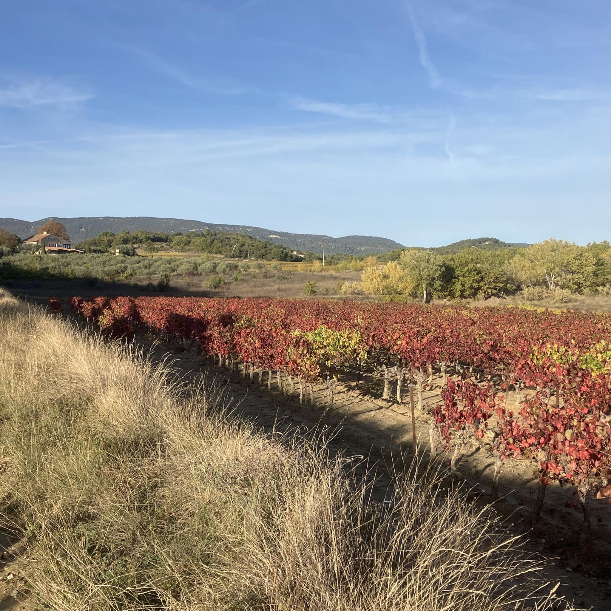
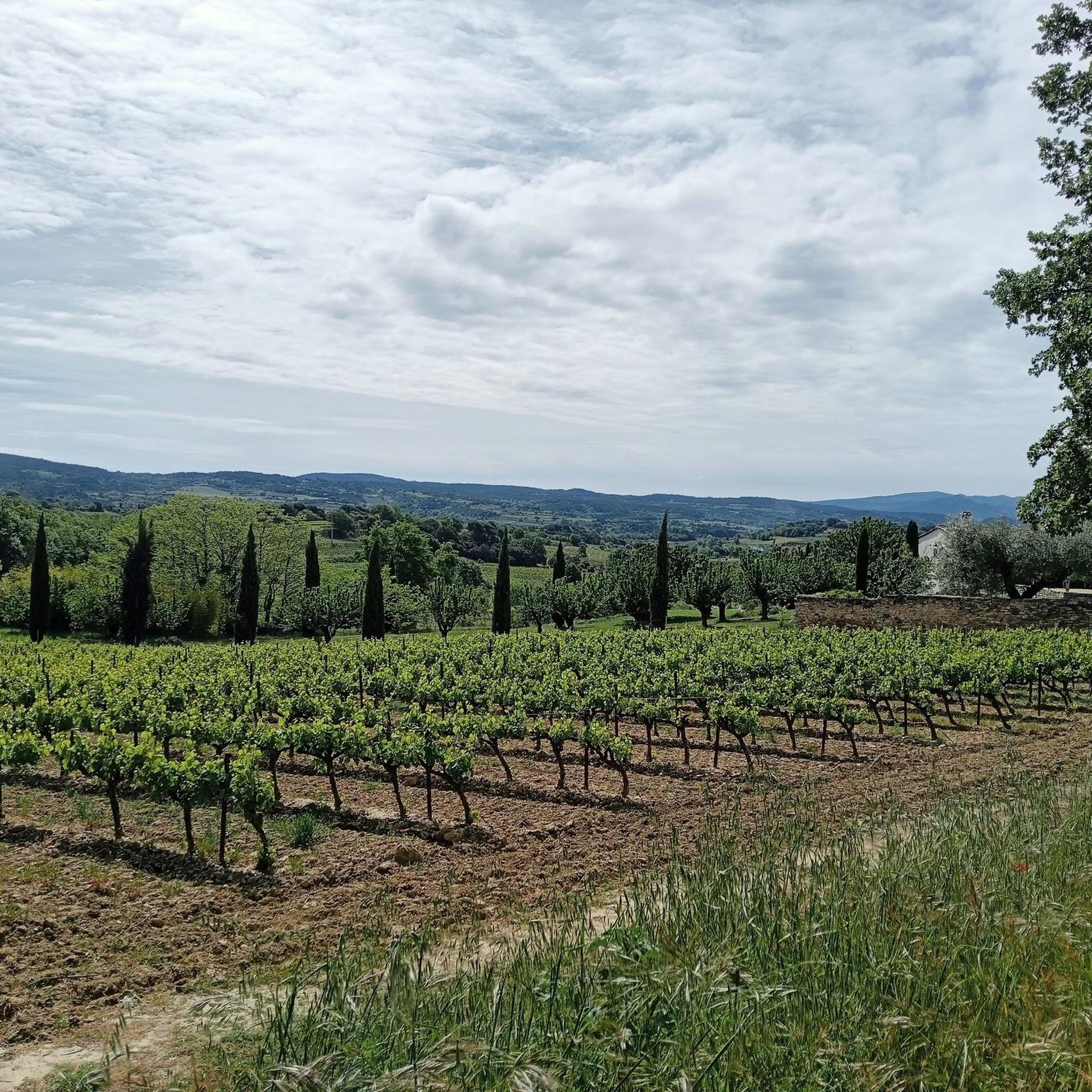
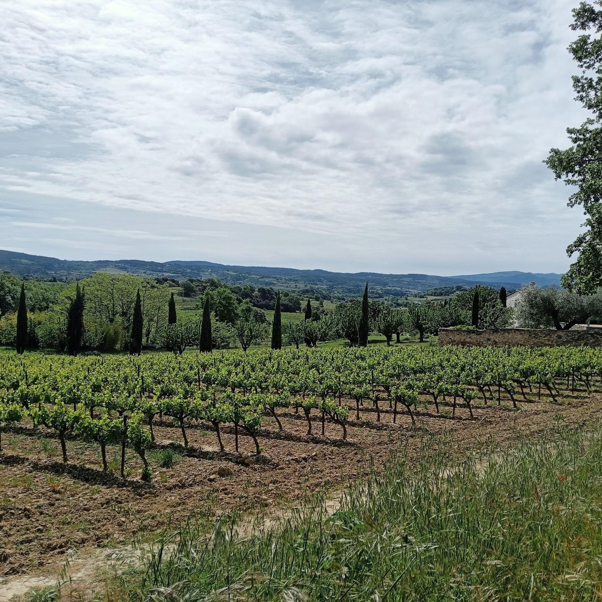
Hiking around Saint-Martin-De-La-Brasque offers access to the diverse landscapes of the Luberon Regional Natural Park. The area is situated within the Aigues Valley, at the foothills of the Luberon mountains, providing varied terrain for exploration. Hikers can find paths traversing cultivated areas, forests, and valleys, with features like the historical Etang de la Bonde. This region provides a range of natural environments suitable for walking.
Best hiking trails around Saint-Martin-De-La-Brasque
- The most popular hiking route is Saint Martin de la…
Last updated: June 25, 2026
4.3
(3)
49
hikers
9.21km
02:48
330m
330m
Moderate hike. Good fitness required. Easily-accessible paths. Suitable for all skill levels.
4.5
(4)
15
hikers
10.3km
03:36
580m
580m
Moderate hike. Good fitness required. Easily-accessible paths. Suitable for all skill levels.

Sign up for free
3.8
(4)
20
hikers
5.99km
01:35
60m
60m
Easy hike. Great for any fitness level. Easily-accessible paths. Suitable for all skill levels.
2.0
(1)
13
hikers
4.38km
01:09
40m
40m
Easy hike. Great for any fitness level. Easily-accessible paths. Suitable for all skill levels.
5
hikers
11.3km
03:19
320m
320m
Moderate hike. Good fitness required. Easily-accessible paths. Suitable for all skill levels.
Get access to more routes and recommendations from other explorers.
Sign up for free
Already have an account?
Our route recommendations are based on thousands of hikes, rides, and runs completed by other people on komoot.
Start today with a free account
Your next adventure awaits.
Login or Signup
Tips from the Community

Attention, passage through private property.
0
0

A beautiful, challenging hike along the Luberon ridges. Views of the Alps, Mont Ventoux and Mourre Nègre.
0
0

Located at the foot of the Mourre Nègre, the Etang de la Bonde is a must-see place in the southern Luberon, combining history, nature and outdoor activities. In water all year round, it offers the possibility of swimming in all seasons. You will also find a campsite, picnic areas and catering services.
0
0

enjoyed a cool bath after a long bike ride.
0
0

At this altitude, on this path which follows a ridge, you not only have a splendid view but you also change the ecosystem. No more olive trees! You will discover the beautiful cedar forests. It is important to know that the greatest number of its trees are found on the ridge path of the Petit Luberon.
2
0

nice lake to cool off, there are catering facilities and even a pizza vending machine
4
0
Lord Fouquet d'Agoult, Count of Provence, decided to build a water reservoir for the castle of La Tour d'Aigues and had an aqueduct built in the 15th century. The pond thus formed was the supply point for an irrigation network that supplied the entire Aigues valley with water, thus contributing to the expansion of agriculture.
5
0

Good place to take a rest. Magnificent view over the lake and the Luberon.
1
0
Frequently Asked Questions
How many hiking trails are available around Saint-Martin-De-La-Brasque?
There are nearly 150 hiking routes available around Saint-Martin-De-La-Brasque, offering a diverse range of experiences within the Luberon Regional Natural Park. These include 53 easy routes, 75 moderate routes, and 19 more challenging options.
What kind of terrain can I expect on hikes in this region?
The terrain around Saint-Martin-De-La-Brasque is quite varied, reflecting its location within the Luberon Regional Natural Park and the Aigues Valley. You can expect paths traversing cultivated areas, dense forests, and picturesque valleys, with some routes featuring significant elevation changes as they ascend towards the Luberon mountains. The area offers a dynamic environment for hikers.
Are there any easy, family-friendly walks suitable for beginners?
Yes, there are over 50 easy routes perfect for families or those seeking a relaxed stroll. A great option is the La Bonde Pond loop from La Motte-d'Aigues, which is a 4.4 km (2.7 miles) trail with minimal elevation gain, often completed in just over an hour. It offers pleasant views around the historical Etang de la Bonde.
Can I find circular hiking routes in Saint-Martin-De-La-Brasque?
Yes, many of the trails around Saint-Martin-De-La-Brasque are circular, allowing you to start and end at the same point. For example, the popular Saint Martin de la Brasques loop from Saint-Martin-de-la-Brasque is an 8.4 km (5.2 miles) moderate circular route that takes about 2 hours 30 minutes to complete.
What natural features or landmarks can I see while hiking?
The region is rich in natural beauty and historical sites. You can explore the historical Étang de la Bonde, a 15th-century pond, or discover the ruins of the ancient village of Le Castelas via a botanical trail. For panoramic views, consider routes that lead to Le Mourre Nègre, the highest point of the Luberon mountains.
Are there any routes that offer views of the Grand Luberon Ridge?
Absolutely. For stunning views from the Grand Luberon Ridge, consider the Col de l'Aire dei Masco – Grand Luberon Ridge loop from Source du Mirail. This moderate 10.4 km (6.4 miles) path includes significant elevation changes, rewarding hikers with expansive vistas of the surrounding landscape.
What do other hikers say about the trails in Saint-Martin-De-La-Brasque?
The trails in Saint-Martin-De-La-Brasque are highly regarded by the komoot community, with an average rating of 4.4 stars from over 500 reviews. Nearly 3000 hikers have used komoot to explore the varied terrain, often praising the diverse landscapes and well-maintained paths within the Luberon Regional Natural Park.
Are there any charming villages or historical sites to visit nearby?
Yes, the Luberon is dotted with authentic and welcoming villages. Beyond Saint-Martin-De-La-Brasque itself, with its narrow alleys and the Église Saint-Martin, you can easily visit nearby Cucuron, known for its historic charm and pond square (Cucuron Pond) and its medieval keep. Other famous villages like Lourmarin and Ansouis are also accessible.
What is the best time of year to go hiking in this region?
The Luberon region generally offers pleasant hiking conditions for much of the year. Spring and autumn are particularly ideal, with mild temperatures and vibrant natural colors. Summers can be hot, so early morning or late afternoon hikes are recommended, and always carry plenty of water. Winters are generally mild, but some higher elevation trails might be cooler.
Are there any longer, more challenging hikes for experienced trekkers?
Yes, for those seeking a greater challenge, there are 19 difficult routes available. An example of a longer moderate route that offers a good workout is the La Motte d'Aigues – Challenging Rocky Trail loop from La Motte-d'Aigues, which spans 11.3 km (7 miles) and involves over 300 meters of elevation gain, taking around 3 hours 20 minutes.
Can I combine hiking with exploring the local culture?
Absolutely. Many hikes in the region pass through or near charming hamlets and villages. Within Saint-Martin-De-La-Brasque, you can explore its traditional alleys, see the large trompe l'oeil wall fresco, and visit 17th-century buildings. The surrounding hamlets like Belle Etoile and Le Castelas also offer opportunities for cultural exploration alongside your walk.
Is there a route that specifically explores the Etang de la Bonde area?
Yes, the Cabrières-D'Aigues – La Bonde Pond loop from La Motte-d'Aigues is a moderate 9 km (5.6 miles) route that specifically leads through the area surrounding the Etang de la Bonde. This trail offers a great way to experience this significant natural and historical feature.
Most popular routes around Saint-Martin-De-La-Brasque
Most popular attractions around Saint-Martin-De-La-Brasque

Get inspired with the komoot mobile app


Explore more
Browse the best Hikes in other regions.
