The best mountain hikes around Saint-Andiol
4.3
(3)
8
hikers
5
hikes
Mountaineering routes around Saint-Andiol are situated in the Bouches-du-Rhône department of Provence-Alpes-Côte d'Azur, offering access to the low mountain ranges of the Alpilles and Luberon massifs. The region is characterized by arid limestone peaks, diverse rock formations, and dry valleys, providing varied terrain for outdoor activities. The Alpilles Massif, with its highest point Les Opies at 496 meters, features cliffs suitable for climbing and numerous trails. To the east, the Luberon Massif extends over 60 kilometers, offering significant rock climbing…
Last updated: July 8, 2026
1
hikers
5.43km
01:37
160m
160m
Easy mountaineering route. Great for any fitness level. Easily-accessible paths. Suitable for all skill levels.
3.0
(1)
2
hikers
8.09km
02:29
260m
260m
Hard mountaineering route. Good fitness required. Sure-footedness, sturdy shoes and alpine experience required.

Sign up for free
5.0
(2)
4
hikers
Hard mountaineering route. Very good fitness required. Mostly accessible paths. Sure-footedness required.
Hard mountaineering route. Great for any fitness level. Sure-footedness, sturdy shoes and alpine experience required.
1
hikers
2.08km
00:42
70m
70m
Hard mountaineering route. Great for any fitness level. Sure-footedness, sturdy shoes and alpine experience required.
Our route recommendations are based on thousands of hikes, rides, and runs completed by other people on komoot.
Start today with a free account
Your next adventure awaits.
Login or Signup
Tips from the Community

The entrance to Glanum is across the street. A visit is highly recommended.
0
0

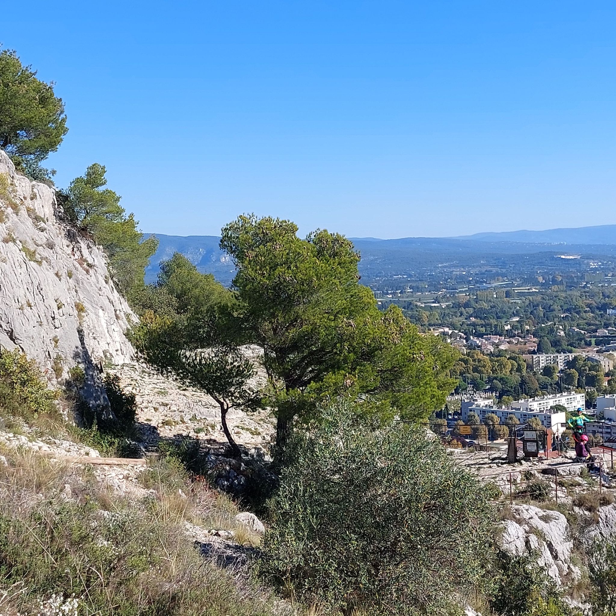
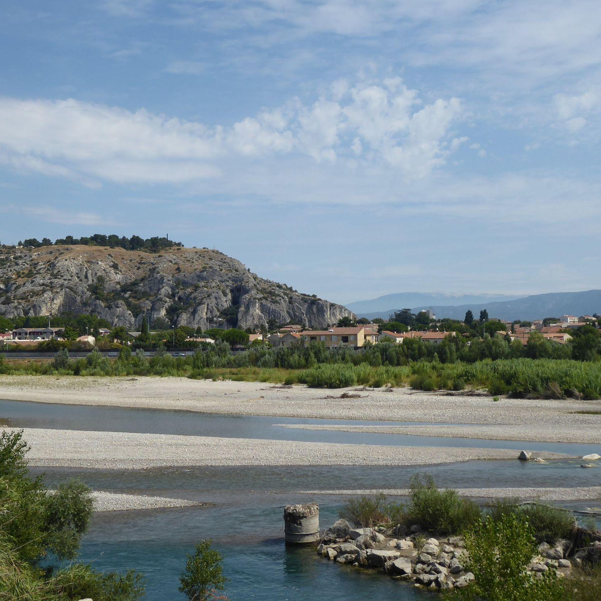
View of Mont Gaussier and its impressive rock formations. Take the Mont Gaussier ladders trail to reach the summit, from where you can enjoy a breathtaking panorama of the Alpilles, the Luberon and the Ventoux.
0
1

It's worth taking a hike there if you're nearby.
0
0
The current shape of the triumphal arch gives only a faint idea of the majesty it might have had in ancient times: the entire upper part has disappeared and the whole, protected by a slab covering at the end of the 18th century, today has a double slope with no reference to the Roman volumes.
1
0

Around 2000 years old and very well preserved
1
0
Absolutely impressive rock peak with a small cave, a deep shaft and great views
0
1


I never get tired of seeing it again and again
1
0
Frequently Asked Questions
How many mountaineering routes are available around Saint-Andiol?
There are 5 distinct mountaineering routes documented around Saint-Andiol on komoot, offering a variety of experiences in the Alpilles and Luberon massifs. These routes are highly rated by the komoot community, with an average score of 4.3 stars.
Are there any easy mountaineering routes suitable for beginners or families?
Yes, for those seeking an easier experience, the Mountaineering loop from Saint-Rémy-de-Provence is an excellent choice. This 3.2-mile (5.2 km) path offers an accessible way to explore the foothills of the Alpilles.
What kind of terrain can I expect on mountaineering routes near Saint-Andiol?
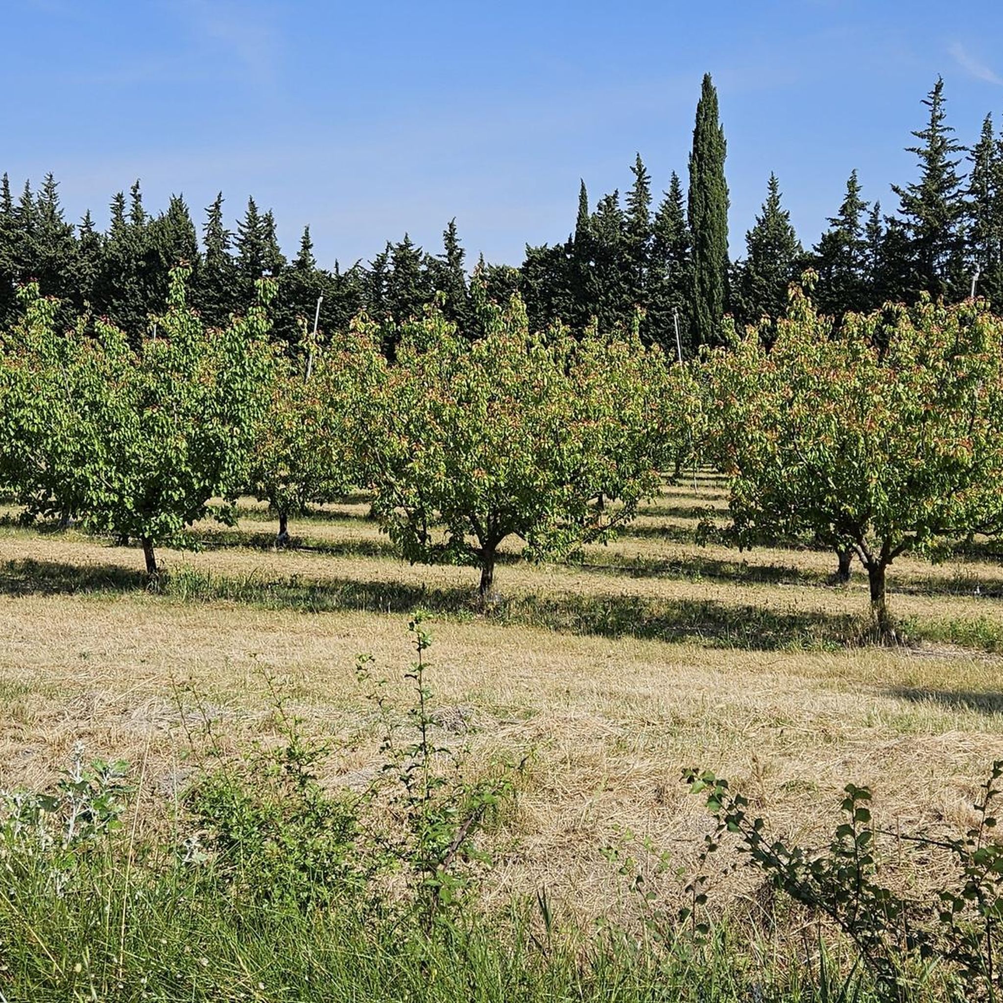
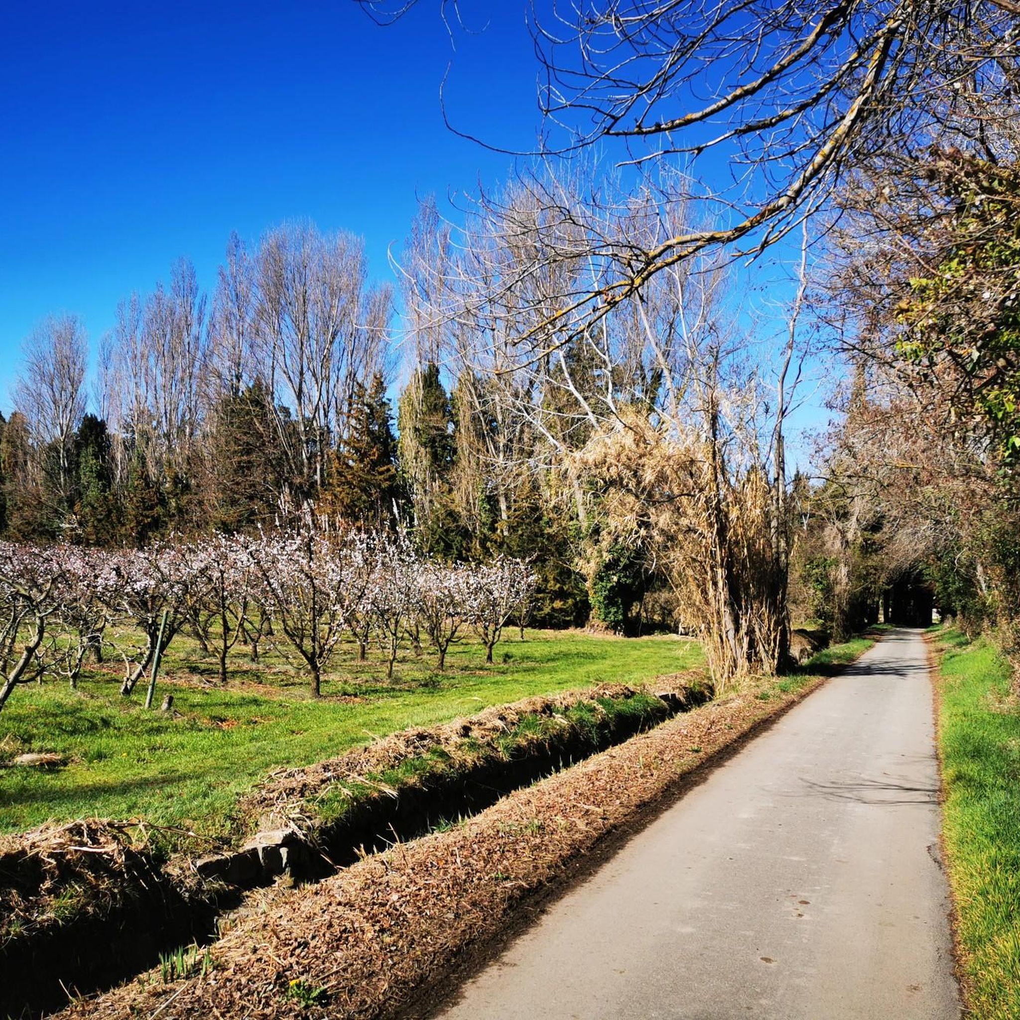
The terrain around Saint-Andiol is characterized by arid limestone peaks, diverse rock formations, and dry valleys within the low mountain ranges of the Alpilles and Luberon massifs. You'll find a mix of trails, from gentle paths through olive groves to more rugged ascents on rocky outcrops.
Are there any challenging mountaineering routes for experienced hikers?
Absolutely. For a more demanding experience, consider the Lac du Peirou loop from Saint-Rémy-de-Provence. This 5.0-mile (8.1 km) trail is rated as difficult and leads through varied landscapes with significant elevation changes.
What are some notable natural attractions or landmarks I can see along these routes?
Many routes offer views of the picturesque landscapes. For instance, the View of Mont Gaussier – Mount Gaussier loop from Site archéologique de Glanum provides stunning vistas of View of Mont Gaussier. You might also encounter natural features like Grotte de Balduin or Lake Peïroou, which are highlights in the region.
What do other mountaineers enjoy most about the routes in Saint-Andiol?
The routes in Saint-Andiol are highly rated by the komoot community, with an average score of 4.3 stars. Mountaineers often praise the varied terrain, the stunning views of the Alpilles and Luberon massifs, and the opportunities to explore the unique limestone landscapes.
Are there any circular mountaineering routes available?
Yes, several routes are designed as loops, allowing you to start and end at the same point. A popular option is the Breche de Castelas – Grotte au lierre loop from Taillades, a moderate 3.5-mile (5.7 km) trail that explores the varied terrain near Taillades.
What is the best time of year for mountaineering around Saint-Andiol?
The Provence region generally offers good conditions for outdoor activities year-round. Spring and autumn provide pleasant temperatures for hiking, while summer can be hot but still enjoyable, especially in the mornings or evenings. Winter offers a different, quieter experience, with the possibility of year-round climbing in some areas like the Luberon.
Are there opportunities for rock climbing near Saint-Andiol?
Absolutely. Saint-Andiol is strategically located near excellent rock climbing areas. The Alpilles Massif offers six equipped sites with diverse rock formations, including Mount Gaussier. The Luberon Massif, particularly around Buoux, is renowned for its quality limestone cliffs, with options for all skill levels, including beginner-friendly spots like Pont Julien. Cavaillon (Colline Saint-Jacques) is also just a 10-minute drive away, boasting over 200 routes.
Can I find shorter mountaineering routes for a quick outing?
Yes, if you're looking for a shorter adventure, the Lake Peïroou – Grotte de Balduin loop from Saint-Rémy-de-Provence is a good choice. This route is approximately 1.3 miles (2.1 km) long and takes you past interesting natural features like Lake Peïroou and Grotte de Balduin.
Are there any historical or cultural points of interest near the mountaineering trails?
While the focus is on natural landscapes, the region is rich in history. Some routes, like the View of Mont Gaussier – Mount Gaussier loop, start near the Glanum Triumphal Arch, offering a glimpse into ancient Roman history. The charming Saint-Rémy-de-Provence Old Town is also a short distance from several trailheads.
Most popular routes around Saint-Andiol
Most popular attractions around Saint-Andiol

Get inspired with the komoot mobile app


Explore more
Browse the best Mountain Hikes & Routes in other regions.
