The best running trails around Carry-Le-Rouet
4.3
(20)
755
runners
33
runs
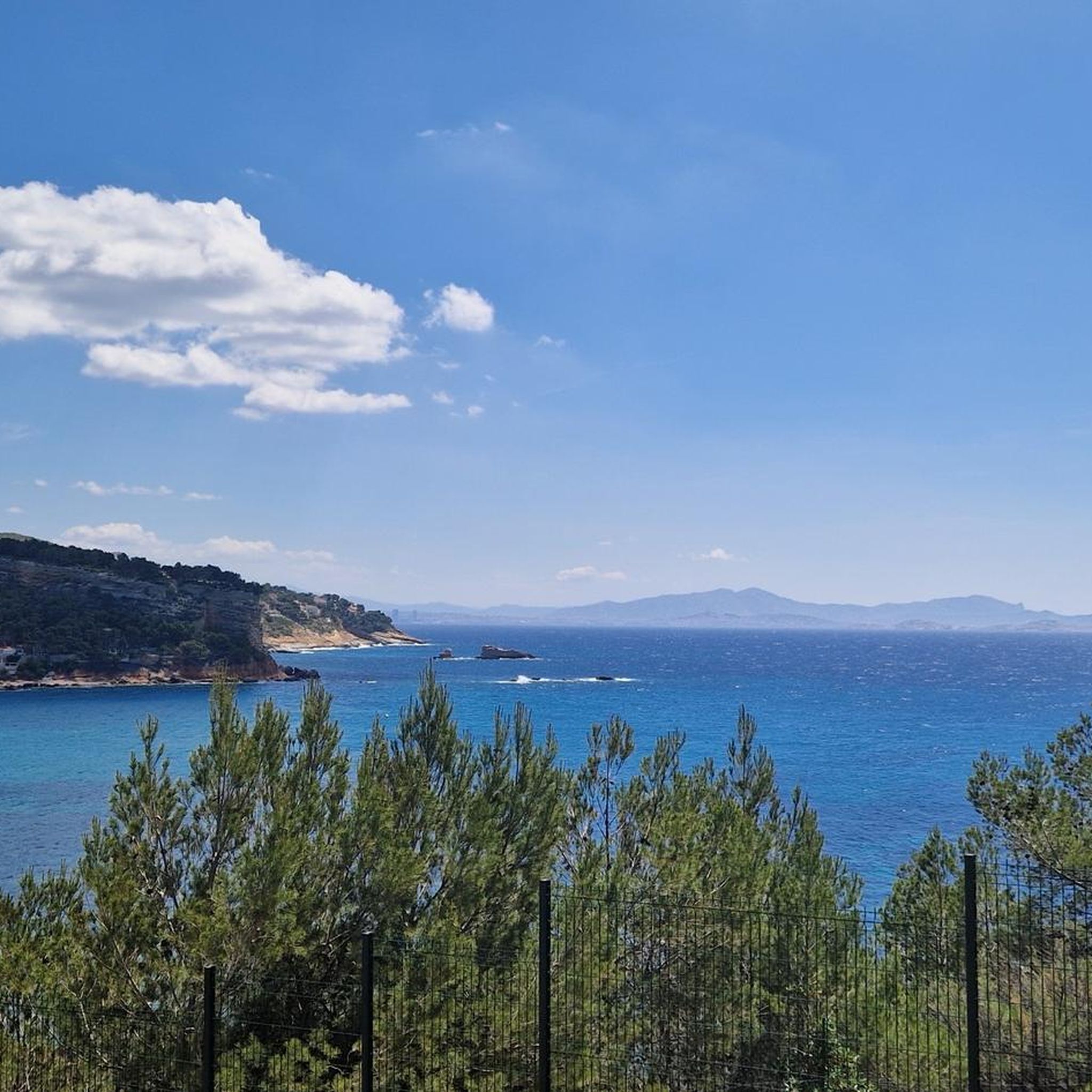
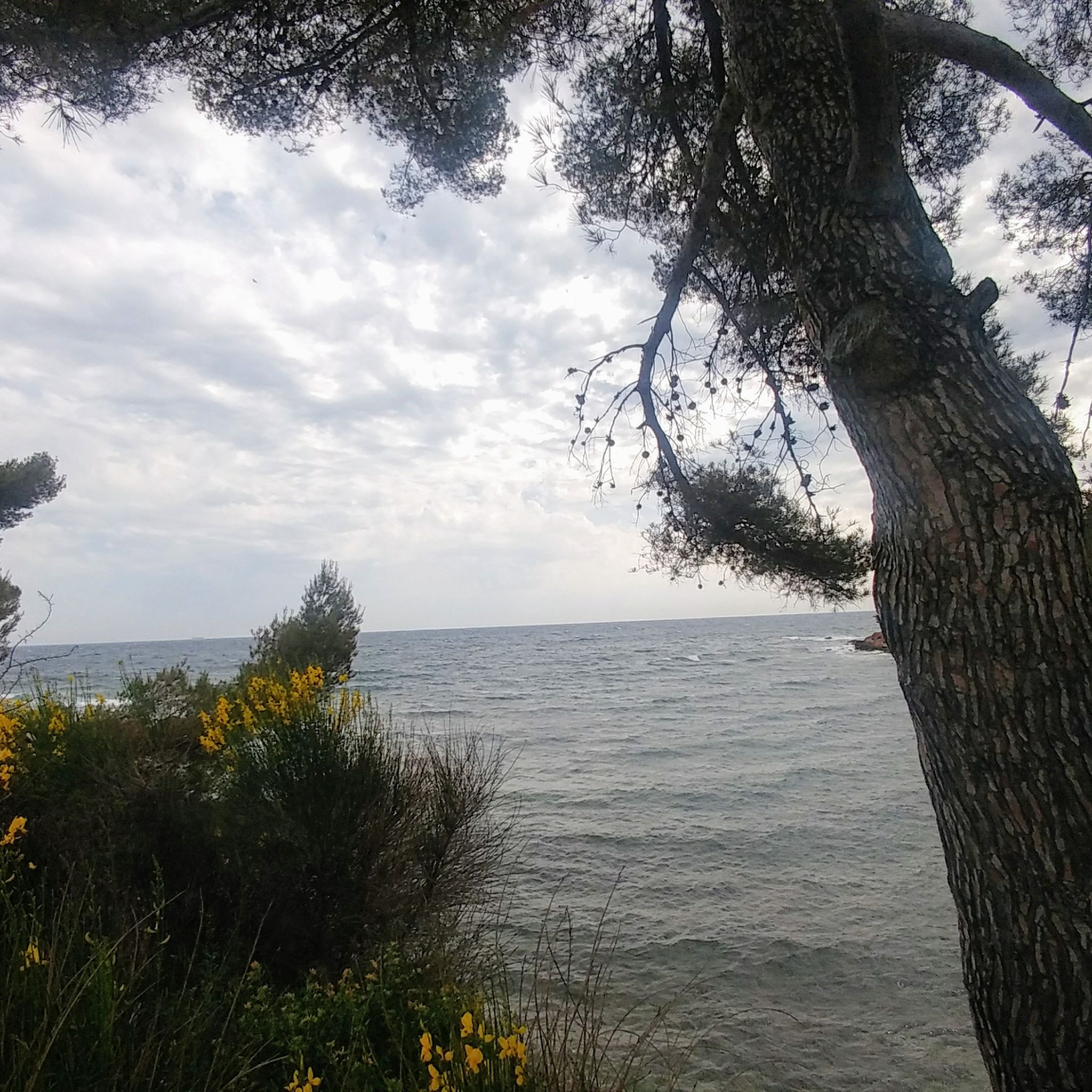
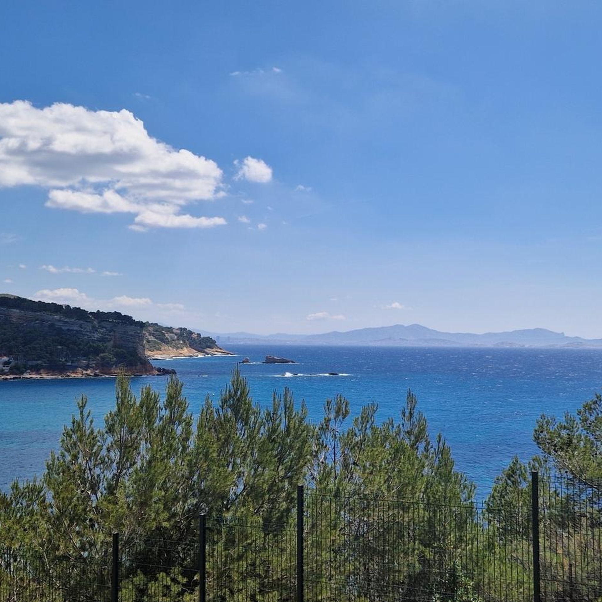
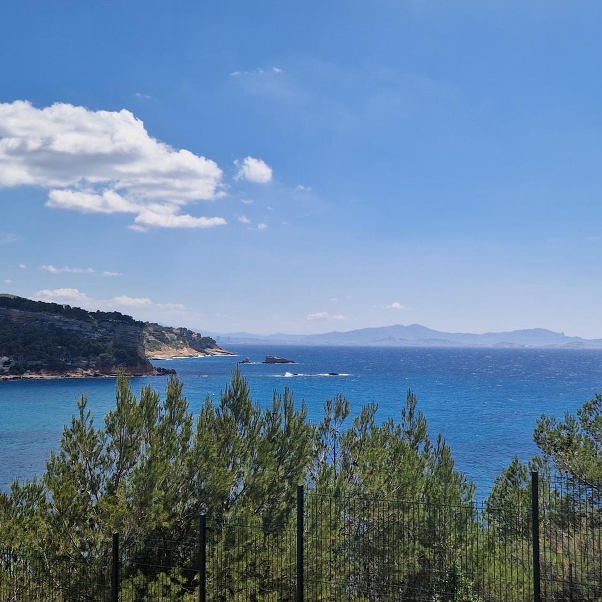
Jogging routes around Carry-Le-Rouet offer diverse landscapes along the Côte Bleue, approximately 30 kilometers west of Marseille. The region is characterized by a rugged coastline featuring calanques and well-maintained coastal paths, alongside pine-covered hills and woodlands. These natural features provide varied terrain for running, from seaside trails with Mediterranean views to routes through forested areas.
Best jogging routes around Carry-Le-Rouet
- The most popular jogging route is Port of Sausset-les-Pins – Beautiful view loop from Carry-le-Rouet, a 11.4 miles (18.3 km) trail that takes 1 hour 56 minutes to complete. This difficult route offers expansive coastal views.
- Another top favourite among local runners is Calanque du Puits loop from Le Rouet, a moderate 6.1 miles (9.8 km) path. This route navigates through scenic calanques and coastal sections.
- Local runners also love the Plage Fernandel loop from Zone marine protégée de Carry-le-Rouet, a 4.3 miles (7.0 km) trail leading through coastal areas and past beaches, often completed in about 45 minutes.
- Jogging around Carry-Le-Rouet is defined by coastal paths, calanques, and pine-covered hills. The network offers options for different ability levels, from easy beachside runs to more challenging routes with elevation gain.
- The routes in Carry-Le-Rouet are highly rated by the komoot community with an average score of 4.4 stars from more than 15 reviews. More than 700 runners have used komoot to explore Carry-Le-Rouet's varied terrain.
Last updated: July 5, 2026
5.0
(2)
239
runners
17.6km
01:51
140m
140m
Hard run. Very good fitness required. Mostly paved surfaces. Suitable for all skill levels.
35
runners
Moderate run. Good fitness required. Mostly paved surfaces. Suitable for all skill levels.

Sign up for free
5.0
(1)
30
runners
7.01km
00:45
100m
100m
Moderate run. Good fitness required. Mostly paved surfaces. Suitable for all skill levels.
5.0
(1)
26
runners
Hard run. Very good fitness required. Sure-footedness, sturdy shoes and alpine experience required.
5.0
(1)
21
runners
Moderate run. Good fitness required. Mostly paved surfaces. Suitable for all skill levels.
Get access to more routes and recommendations from other explorers.
Sign up for free
Already have an account?
Our route recommendations are based on thousands of hikes, rides, and runs completed by other people on komoot.
Start today with a free account
Your next adventure awaits.
Login or Signup

Tips from the Community

Small port in Sausset-les-Pins with almost 500 berths.
3
0

A beautiful little harbor and a very nice little town.
1
1

This charming harbour is a place where you can enjoy the quayside, admire a series of yachts and fishing boats, and soak up the lively atmosphere of the local cafes and shops. The harbour promenade offers beautiful views of the azure waters and surrounding coastline, making it an ideal spot for a relaxing seaside break.
2
0

Very nice views, sometimes very rocky; without a mountain bike you have to push a few sections.
1
0

Nice little harbor, small carousel for children, fresh fish straight from the boat in the morning.
0
0

Very very nice hike. Maybe just correct the difference in altitude (280 m cumulative) which in my opinion does not classify it as easy but as intermediate. But it's done well and it's very pleasant!
3
0

A very nice place to spend some time here. The Calanques offer so much sea.
3
0

You will see a very beautiful cross there as well as a very beautiful 360 degree view of the entire region 👀😉😮😍
4
0
Frequently Asked Questions
How many running routes are available in Carry-Le-Rouet?
There are over 35 dedicated running routes around Carry-Le-Rouet, offering a variety of distances and difficulty levels. These include coastal paths, trails through calanques, and routes in pine-covered hills.
What kind of terrain can I expect on running trails around Carry-Le-Rouet?
Runners in Carry-Le-Rouet can enjoy diverse terrain. The region features the stunning Coastal Path (Sentier du Littoral) with Mediterranean views, rugged calanques like the Calanque de l'Éverine, and peaceful pine-covered hills and woodlands. You'll find everything from easy beachside runs to more challenging routes with significant elevation changes.
Are there any easy running routes suitable for beginners or families?
Yes, Carry-Le-Rouet offers several easy routes. For instance, the Plage Fernandel loop from Zone marine protégée de Carry-le-Rouet is a moderate 4.3-mile (7.0 km) trail that leads through coastal areas and past beaches, making it a great option for a relaxed run or a family outing.
Can I find challenging trail running routes in the area?
Absolutely. For those seeking a challenge, routes like the Port of Sausset-les-Pins – Beautiful view loop from Carry-le-Rouet offer a difficult 11.4-mile (18.3 km) trail with expansive coastal views and notable elevation gain. Another demanding option is the Running loop from Barqueroute, which covers over 15 km with significant ascents.
What are some notable sights or viewpoints along the running routes?
Many routes offer spectacular views. The Coastal Path provides stunning Mediterranean vistas. You might also encounter picturesque coves like the Calanque de l'Éverine. Higher points along trails, such as those on the "Chemin de Lézard Coastal View loop" (not listed in guide data but mentioned in research), offer views of Marseille. The Croix de Sausset Viewpoint – Cross of Sausset Hill loop from Carry-le-Rouet also provides excellent panoramic opportunities.
Are the running trails in Carry-Le-Rouet dog-friendly?
While many natural areas in France are generally accessible, it's always best to check local regulations for specific trails, especially within protected areas like the Côte Bleue Marine Park. Generally, dogs on a leash are permitted on many coastal and woodland paths, but some beaches or sensitive natural sites might have restrictions, particularly during peak seasons.
Is parking available near the running trails in Carry-Le-Rouet?
Yes, parking is generally available in and around Carry-Le-Rouet, especially near popular starting points for trails and beaches. The town's port area and various beach access points often have designated parking. It's advisable to check specific route descriptions for the most convenient parking locations.
Can I reach running routes in Carry-Le-Rouet using public transport?
Carry-Le-Rouet is connected by public transport, including regional trains and buses, which can provide access to the town center and various points along the coast. This allows runners to start or finish their routes at different locations without needing a car, particularly useful for linear sections of the Coastal Path.
What do other runners enjoy most about jogging in Carry-Le-Rouet?
The running routes in Carry-Le-Rouet are highly rated by the komoot community, with an average score of 4.4 stars from over 15 reviews. Runners frequently praise the stunning coastal views, the variety of terrain from beaches to pine forests, and the opportunity to explore picturesque calanques.
Are there any circular running routes in Carry-Le-Rouet?
Yes, many of the running routes in Carry-Le-Rouet are designed as loops, allowing you to start and finish at the same point. Examples include the Calanque du Puits loop from Le Rouet and the Croix de Sausset Viewpoint – Cross of Sausset Hill loop from Carry-le-Rouet, which offer varied scenery and return you to your starting point.
What is the best season for running in Carry-Le-Rouet?
The Mediterranean climate of Carry-Le-Rouet makes it suitable for running for much of the year. Spring and autumn offer pleasant temperatures, ideal for longer runs. Summer can be hot, so early morning or late evening runs are recommended. Winter is generally mild, providing a good opportunity to enjoy the trails with fewer crowds.
Are there any attractions or landmarks near the running trails?
Yes, the region is rich in attractions. Along your runs, you might pass by natural wonders like Érevine Cove or the Calanque of the Salt Waters. Historical sites such as Fort de Niolon Haut and the Cap Couronne Lighthouse are also within reach, offering interesting points of interest during or after your run.
Most popular attractions around Carry-Le-Rouet

Get inspired with the komoot mobile app


Explore more
Browse the best Running Trails & Routes in other regions.
