The best walks and hikes around Gignac-La-Nerthe
4.6
(1241)
10,931
hikers
278
hikes
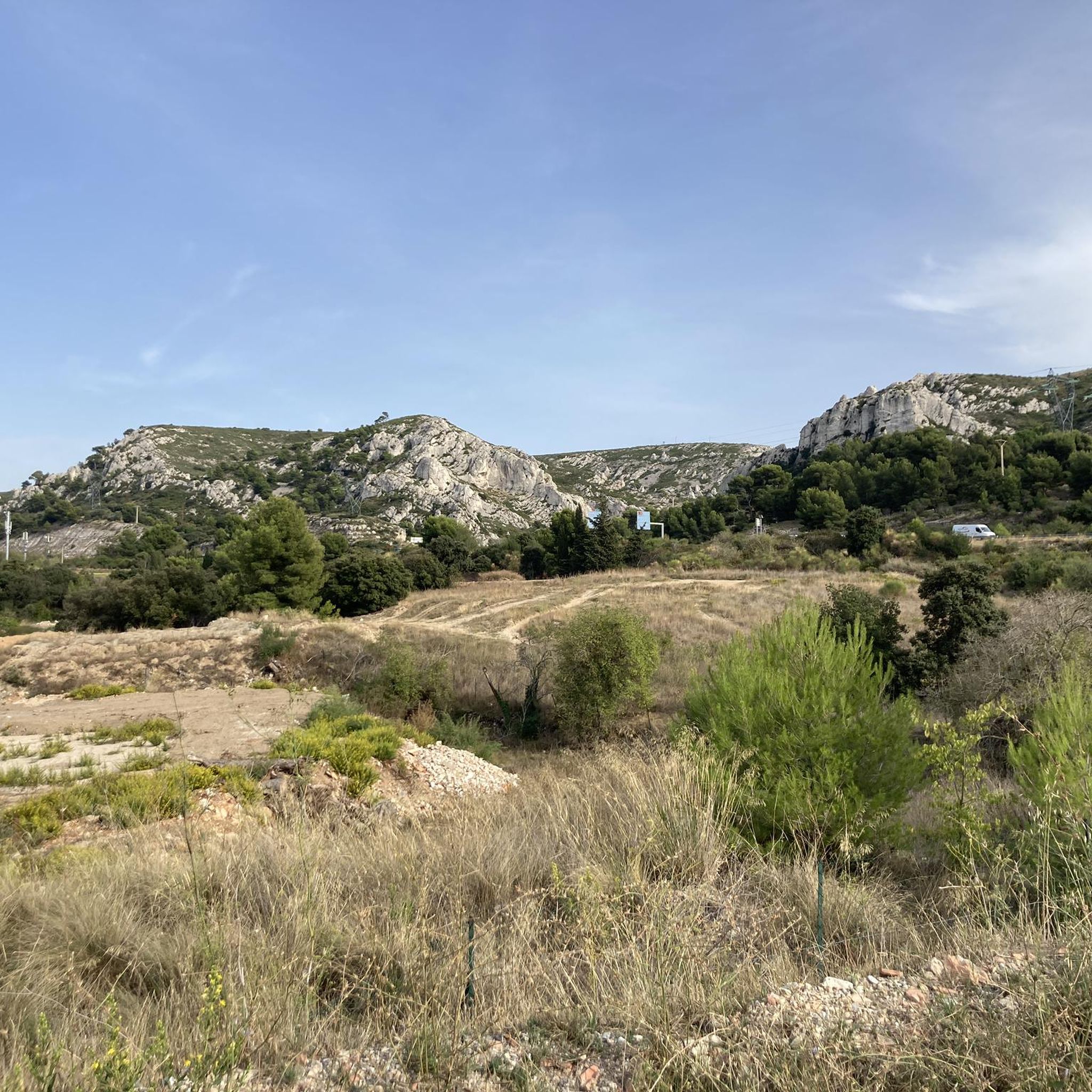
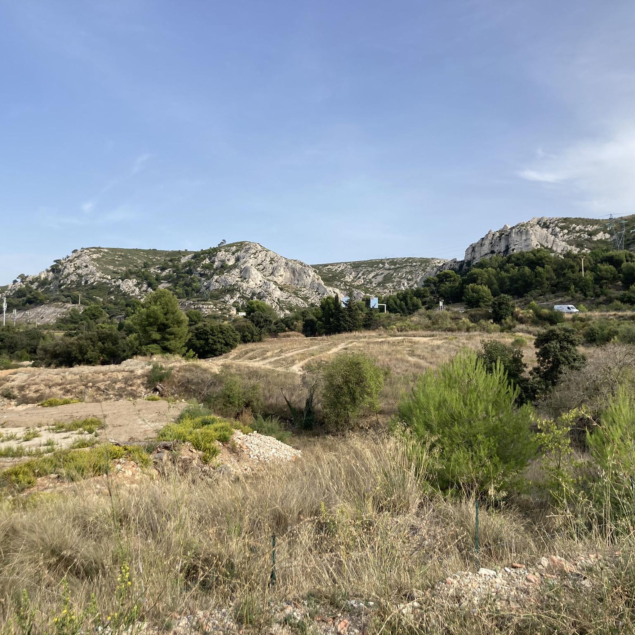
Hiking around Gignac-La-Nerthe offers diverse terrain, situated against the Nerthe massifs which provide a rugged and scenic environment. To the north, the surroundings of the Étangs de Berre present flatter paths and waterside scenery. The region also features unique geological formations, including red clay cliffs and the red and ochre rocks of the Vitrolles Plateau, creating varied landscapes for exploration. This Mediterranean climate fosters a preserved natural environment ideal for outdoor activities.
Best hiking trails around Gignac-La-Nerthe
- The most popular…
Last updated: July 9, 2026
5.0
(2)
52
hikers
5.95km
01:30
10m
10m
Easy hike. Great for any fitness level. Easily-accessible paths. Suitable for all skill levels.
5.0
(3)
28
hikers
9.97km
02:48
210m
210m
Moderate hike. Good fitness required. Easily-accessible paths. Suitable for all skill levels.

Sign up for free
4.0
(2)
15
hikers
9.26km
02:32
150m
150m
Moderate hike. Good fitness required. Easily-accessible paths. Suitable for all skill levels.
5.0
(2)
10
hikers
4.93km
01:27
140m
140m
Easy hike. Great for any fitness level. Easily-accessible paths. Suitable for all skill levels.
5.0
(3)
12
hikers
20.2km
05:56
500m
500m
Hard hike. Very good fitness required. Sure-footedness, sturdy shoes and alpine experience required.
Get access to more routes and recommendations from other explorers.
Sign up for free
Already have an account?
Our route recommendations are based on thousands of hikes, rides, and runs completed by other people on komoot.
Start today with a free account
Your next adventure awaits.
Login or Signup



Tips from the Community

Access is easily doable from the hiking trail with a bit of scrambling. Don't forget your water shoes. There are two entrances: from the Niolon direction, the entrance is by sea, and from the Mejan direction, it's by land. Access from the Zoellnerweg trail is about a three-minute walk. The entrances are easily recognizable.
1
0

Magnificent with its beautiful harbor to spend quality time with your loved one or even with family
1
0

Very nice views, sometimes very rocky; without a mountain bike you have to push a few sections.
1
0

Very very nice hike. Maybe just correct the difference in altitude (280 m cumulative) which in my opinion does not classify it as easy but as intermediate. But it's done well and it's very pleasant!
3
0

Very curious site! Go there, it’s worth the detour!
2
0
The island is superb in its environment! Right in front of the cove!
2
0
Superb place! Definitely unmissable!
1
0

The marina of Ensuès-la-Redonne is a hidden pearl on the Blue Coast. It offers a peaceful and authentic stopover for hikers. This port is a real haven of peace by the sea and its calm waters and coves invite you to relax.
1
0
Frequently Asked Questions
What kind of terrain can I expect when hiking around Gignac-La-Nerthe?
The region offers a diverse landscape. You'll find rugged and scenic environments in the Nerthe massifs, flatter paths and waterside scenery near the Étangs de Berre, and unique geological formations like red clay cliffs and the red and ochre rocks of the Vitrolles Plateau. Trails can lead through thick green forests and garrigue, providing varied experiences.
How many hiking trails are available around Gignac-La-Nerthe?
There are over 270 hiking routes available around Gignac-La-Nerthe, catering to various skill levels. This includes 94 easy routes, 115 moderate routes, and 61 difficult routes, ensuring options for everyone from beginners to experienced hikers.
Are there any family-friendly hiking options in the area?
Yes, Gignac-La-Nerthe offers several family-friendly trails. Many of the 94 easy routes are suitable for families. For example, the Saint Michael Chapel loop from Gignac-la-Nerthe is an easy 3.1-mile (4.9 km) trail that leads through local landscapes and past historical points, perfect for a shorter outing.
What are some notable landmarks or attractions I might see on a hike?
Hikes in the region can lead you past various points of interest. You might encounter historical sites like the Vierge du Rove, the Chapelle St-Michel, the ruins of the Château des Templiers, and the vestiges of the Camp de Laure. Natural attractions include the unique 'Colorado landscape' with its red clay cliffs (Colorado landscape), the scenic Érevine Cove, or the historic Fort de Niolon Haut.
Are there any circular hiking routes available?
Yes, many of the trails around Gignac-La-Nerthe are circular, offering convenient starting and ending points. An example is the Village of Les Pennes-Mirabeau loop from Le Clos de Provence, a moderate 5.8-mile (9.3 km) path that explores the village surroundings.
Can I find trails with viewpoints offering scenic vistas?
Absolutely. The Nerthe massifs provide rewarding views, and specific routes offer panoramic sights. For instance, some trails provide beautiful views of the Bay of Marseille and the Étang de Berre. You can also find specific viewpoints like the View of Marseille.
What is the best time of year to go hiking in Gignac-La-Nerthe?
The region benefits from a Mediterranean climate, making it suitable for hiking for much of the year. Spring and autumn generally offer the most pleasant temperatures for outdoor activities. Summer can be hot, so early morning or late afternoon hikes are recommended, while winter offers milder conditions compared to many other regions.
Are there any trails that feature waterfalls?
Yes, for those seeking unique natural features, nearby areas offer surprising formations including waterfalls. The Vitrolles Plateau, less than 30 minutes from Marseille, features a waterfall and the source of the Infernet, creating an oasis-like experience amidst red and ochre rocks.
What do other hikers enjoy most about hiking in Gignac-La-Nerthe?
The area is highly rated by the komoot community, with an average score of 4.6 stars from over 1,100 reviews. Hikers often praise the diverse terrain, from coastal views to rugged massifs, and the variety of routes suitable for different abilities. The preserved natural environment and historical points of interest are also frequently highlighted.
Are there any dog-friendly trails around Gignac-La-Nerthe?
Many trails in the Gignac-La-Nerthe area are suitable for hiking with dogs, provided they are kept under control. It's always advisable to check local regulations for specific routes, especially concerning nature reserves or protected areas, and to ensure your dog is comfortable with the trail's length and difficulty.
Is there parking available near the trailheads?
Yes, for many popular hiking routes around Gignac-La-Nerthe, you will find designated parking areas near the trailheads. It's common for routes to start from villages or accessible points where parking is available, though it's always good to check the specific route details on komoot for precise parking information.
Can I access hiking trails using public transport?
While some trailheads might be accessible via local public transport, many routes in the more natural and rugged areas may require private vehicle access. For specific routes, it's recommended to check local bus schedules or consider carpooling options to reach less accessible starting points.
Are there any challenging hikes for experienced trekkers?
Yes, for experienced trekkers, there are 61 difficult routes available. An example is the View of the Calanque de Méjean – Méjean Cove loop from Ensuès-la-Redonne, a challenging 12.8-mile (20.7 km) hike with significant elevation changes, offering a more strenuous adventure.
Most popular routes around Gignac-La-Nerthe
Most popular attractions around Gignac-La-Nerthe

Get inspired with the komoot mobile app


Explore more
Browse the best Hikes in other regions.
