The best road cycling routes around Plan-De-Cuques
4.2
(818)
19,001
riders
247
rides
Road cycling around Plan-De-Cuques offers diverse landscapes and varied terrain, making it a compelling destination for cyclists. The region is characterized by its proximity to the Massif de l'Etoile and Massif du Garlaban, providing a mix of challenging climbs and scenic descents. Cyclists can experience routes that traverse hills, valleys, and open forests, often featuring views that extend between the sea and land. This area provides a blend of active pursuits and natural beauty for road cyclists.
Best road cycling routes around Plan-De-Cuques
- The most popular road cycling route is Peypin Cadolive tour – Le Régage loop from La Rose, a 28.6 miles (46.1 km) trail that takes 2 hours 17 minutes to complete. This moderate route offers varied terrain through the local landscape.
- Another top favourite among local road cyclists is Le Pigeonnier Climb – Le Régage loop from La Rose, a moderate 34.9 miles (56.1 km) path. It features notable elevation changes and scenic views.
- Local road cyclists also love the Le Pigeonnier Climb – Picturesque village loop from La Rose, a 50.1 miles (80.6 km) trail leading through diverse landscapes, often completed in about 3 hours 44 minutes.
- Road cycling around Plan-De-Cuques is defined by the Massif de l'Etoile, Massif du Garlaban, and views between sea and land. The network offers options for different ability levels, from moderate paths to difficult climbs.
- The routes in Plan-De-Cuques are highly rated by the komoot community with an average score of 4.3 stars from over 750 reviews. More than 22,000 road cyclists have used komoot to explore Plan-De-Cuques's varied terrain.
Last updated: June 27, 2026
4.7
(33)
387
riders
46.2km
02:17
680m
680m
Moderate road ride. Good fitness required. Mostly well-paved surfaces and easy to ride.
4.9
(14)
279
riders
56.9km
02:51
840m
840m
Moderate road ride. Good fitness required. Some segments of this route may be unpaved and difficult to ride.

Sign up for free
92
riders
103km
04:53
1,240m
1,240m
Hard road ride. Very good fitness required. Mostly well-paved surfaces and easy to ride.
5.0
(1)
56
riders
92.5km
04:46
1,560m
1,560m
Hard road ride. Very good fitness required. Mostly well-paved surfaces and easy to ride.
4.5
(2)
56
riders
80.1km
03:43
910m
910m
Hard road ride. Very good fitness required. Mostly well-paved surfaces and easy to ride.
Get access to more routes and recommendations from other explorers.
Sign up for free
Already have an account?
Our route recommendations are based on thousands of hikes, rides, and runs completed by other people on komoot.
Start today with a free account
Your next adventure awaits.
Login or Signup

Tips from the Community

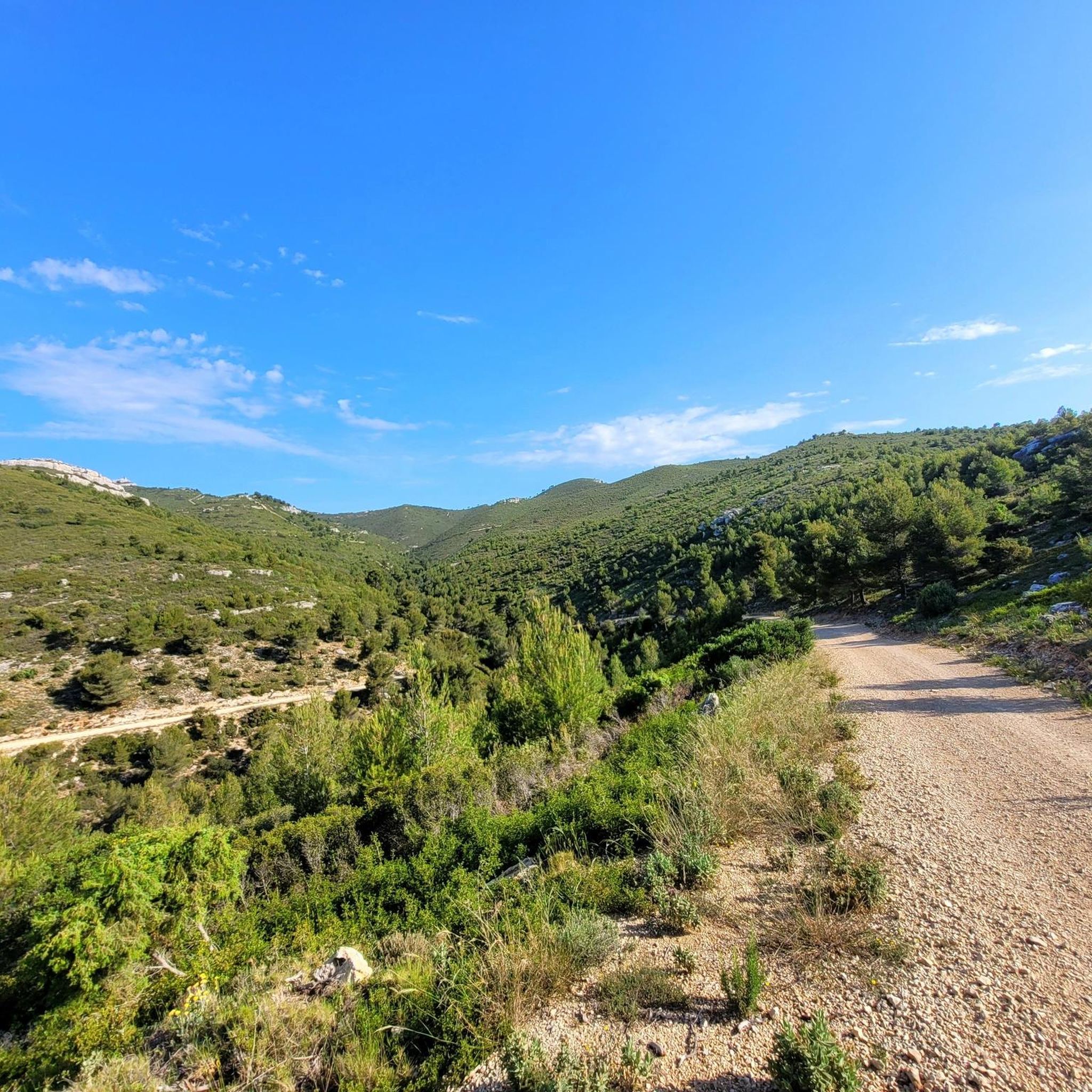
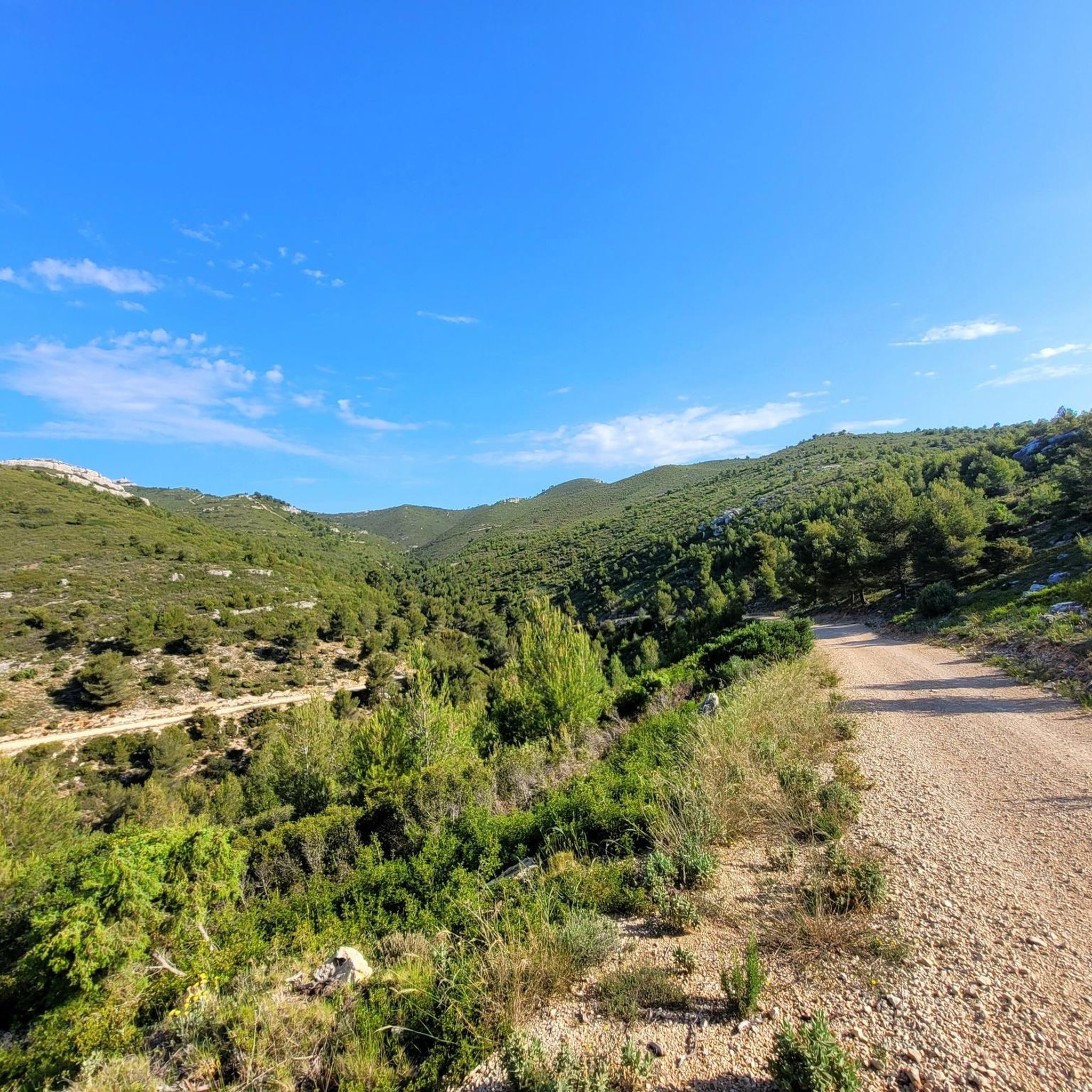
great panoramic road - little traffic in March
0
0

In the crime novel "Dangerous Côte Bleue" (subtitle: a Provence mystery with Capitaine Roger Blanc) by author Cay Rademacher, a character named Claude Figaroli explains to a police officer recently transferred from Paris what CALANQUES means: "It comes from the Provençal word CALANCO, meaning steep. The bays are nothing more than steep valleys carved into the limestone cliffs by rivers in prehistoric times. Since then, the sea level has risen, and the canyons have become fjords. But they have retained their shape underwater: narrow, steep, and treacherous. What you and I find picturesque today was, for a long time, hell for sailors."
0
0


A little coffee break is in order
0
0

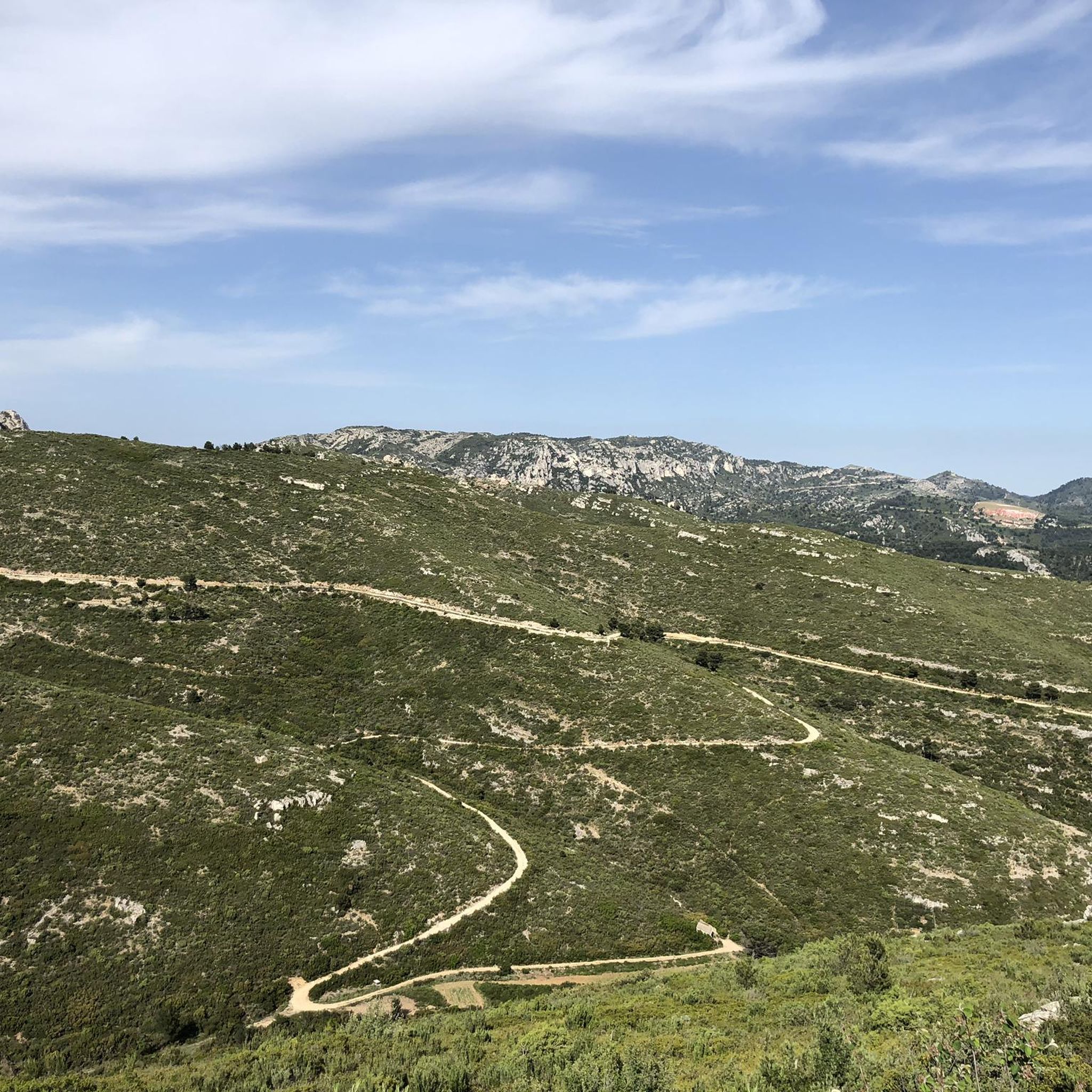
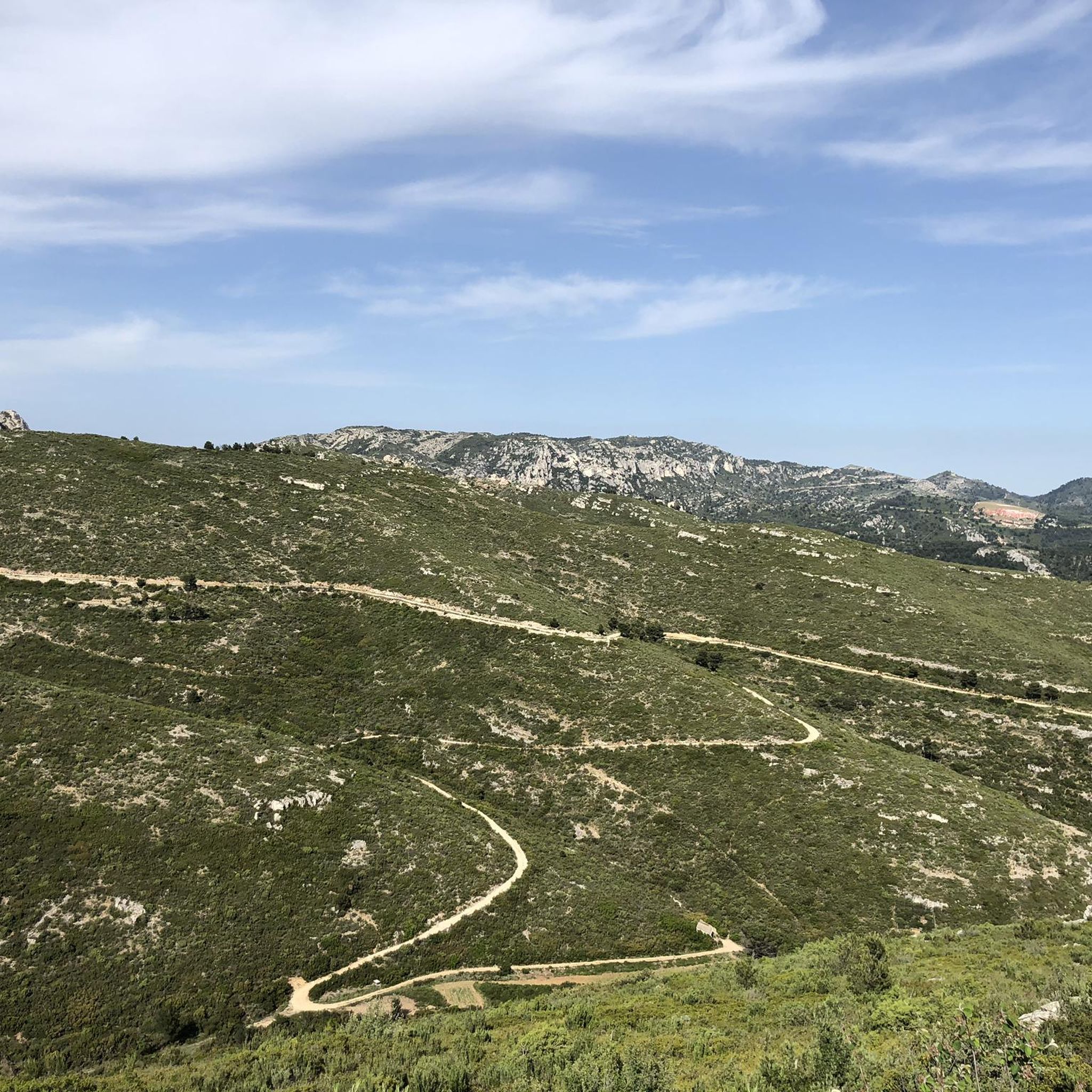
Incredible view of the Garlaban massif, Sainte Victoire, the Alps and Mont Ventoux!
0
0

A breathtaking view!!! Good to know, the road is closed to thermal vehicles every Sunday from 10 a.m. to 5 p.m. during the summer (July/August/September) so you can enjoy it even more!
2
0
Frequently Asked Questions
How many road cycling routes are available around Plan-De-Cuques?
There are over 250 road cycling routes around Plan-De-Cuques, offering a wide variety of options for different skill levels. This includes 43 easy routes, 124 moderate routes, and 91 difficult routes.
What kind of terrain can I expect on road cycling routes near Plan-De-Cuques?
The region around Plan-De-Cuques offers diverse terrain, characterized by its proximity to the Massif de l'Etoile and Massif du Garlaban. Cyclists can expect a mix of challenging climbs, scenic descents, hills, valleys, and open forests. Many routes also feature exceptional views that extend between the sea and land.
Are there routes suitable for beginners or less experienced road cyclists?
Yes, Plan-De-Cuques offers a good selection of routes for beginners. There are 43 easy road cycling routes available, providing a gentler introduction to the region's landscapes.
Are there challenging climbs for advanced road cyclists?
Absolutely. The Massif de l'Etoile and Massif du Garlaban provide ample opportunities for advanced cyclists seeking challenging climbs and significant elevation changes. There are 91 difficult routes in the area, such as the Le Pigeonnier Climb – Picturesque village loop from La Rose, which features over 900 meters of elevation gain.
What scenic viewpoints or landmarks can I see along the road cycling routes?
Many routes offer stunning views, often between the sea and land. You can also find natural landmarks like the Pilon du Roi summit or the View from Mont Saint-Cyr. For panoramic city views, the Panoramic view of Marseille from the Notre-Dame de la Garde Basilica is also accessible from some routes.
Are there any natural monuments or unique features to explore while cycling?
Yes, the region is rich in natural beauty. You can encounter features like the Domaine de la Font de Mai forest or the Pilon du Roi, a prominent summit. The Massifs de l'Etoile and Garlaban themselves offer unique geological formations and diverse ecosystems.
Are there loop routes available for road cycling around Plan-De-Cuques?
Yes, many road cycling routes around Plan-De-Cuques are designed as loops, allowing you to start and finish at the same point. Examples include the Peypin Cadolive tour – Le Régage loop from La Rose and the Le Pigeonnier Climb – Le Régage loop from La Rose.
What do other road cyclists enjoy the most about road cycling in Plan-De-Cuques?
The area is highly rated by the komoot community, with an average score of 4.3 stars from over 750 reviews. Cyclists often praise the diverse landscapes, the blend of challenging climbs and scenic descents, and the exceptional views between the sea and land that many routes offer.
Is parking available for cyclists near the routes?
While specific parking details vary by route, many starting points for cycling routes around Plan-De-Cuques, especially those originating from towns or villages, offer public parking facilities. For example, the Park parking lot – Panoramic view loop from Allauch suggests a dedicated parking area.
Can I reach the cycling routes using public transport?
Plan-De-Cuques is situated near Marseille, which has a comprehensive public transport network. While direct access to every route starting point might require some planning, you can often reach the vicinity of the routes by combining local buses from Marseille or nearby towns with a short ride to the trailhead.
Are there family-friendly road cycling options?
While many routes feature significant elevation changes, there are 43 easy routes available that could be more suitable for families or those looking for a less strenuous ride. These routes typically have less demanding terrain and elevation.
What is the best time of year for road cycling in Plan-De-Cuques?
The region generally offers favorable cycling conditions for much of the year. Spring and autumn provide pleasant temperatures, making them ideal for exploring. Summer can be warm, especially at midday, so early morning or late afternoon rides are recommended. Winters are typically mild, allowing for year-round cycling, though some higher elevation routes might be cooler.
Most popular routes around Plan-De-Cuques
Most popular attractions around Plan-De-Cuques

Get inspired with the komoot mobile app


Explore more
Browse the best Road cycling routes in other regions.
