The best mountain hikes around Trévignin
4.7
(16)
77
hikers
10
hikes
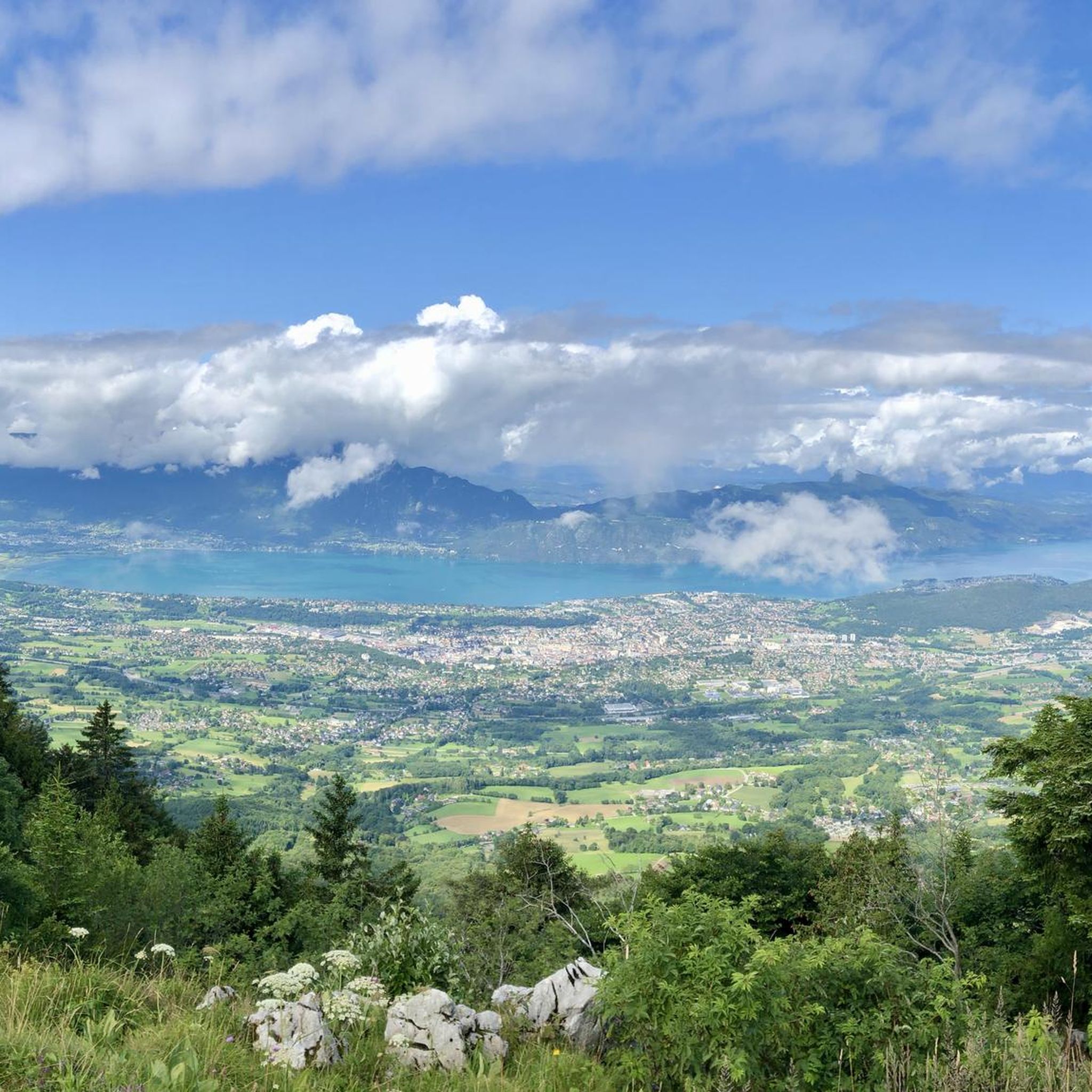
Mountaineering routes Trévignin are situated in the Savoie department, at the western edge of the Bauges massif and at the foot of Mont Revard. The region features a varied terrain with altitudes ranging from 433 meters to 1563 meters, offering diverse challenges for mountaineers. Prominent features include the Mont Revard, which provides panoramic views over Lac du Bourget and surrounding mountain ranges, and the geological diversity of the Bauges massif with its limestone formations. This area offers a spectrum of…
Last updated: June 27, 2026
4.5
(4)
23
hikers
7.43km
04:00
660m
660m
Hard mountaineering route. Good fitness required. Sure-footedness, sturdy shoes and alpine experience required.
4.0
(2)
20
hikers
6.25km
01:50
170m
170m
Easy mountaineering route. Great for any fitness level. Easily-accessible paths. Suitable for all skill levels.

Sign up for free
5.0
(1)
5
hikers
9.32km
02:51
290m
290m
Hard mountaineering route. Good fitness required. Sure-footedness, sturdy shoes and alpine experience required.
4.8
(4)
7
hikers
8.30km
02:28
250m
250m
Moderate mountaineering route. Good fitness required. Easily-accessible paths. Suitable for all skill levels.
4
hikers
10.4km
04:02
670m
670m
Moderate mountaineering route. Good fitness required. Mostly accessible paths. Sure-footedness required.
Get access to more routes and recommendations from other explorers.
Sign up for free
Already have an account?
Our route recommendations are based on thousands of hikes, rides, and runs completed by other people on komoot.
Start today with a free account
Your next adventure awaits.
Login or Signup
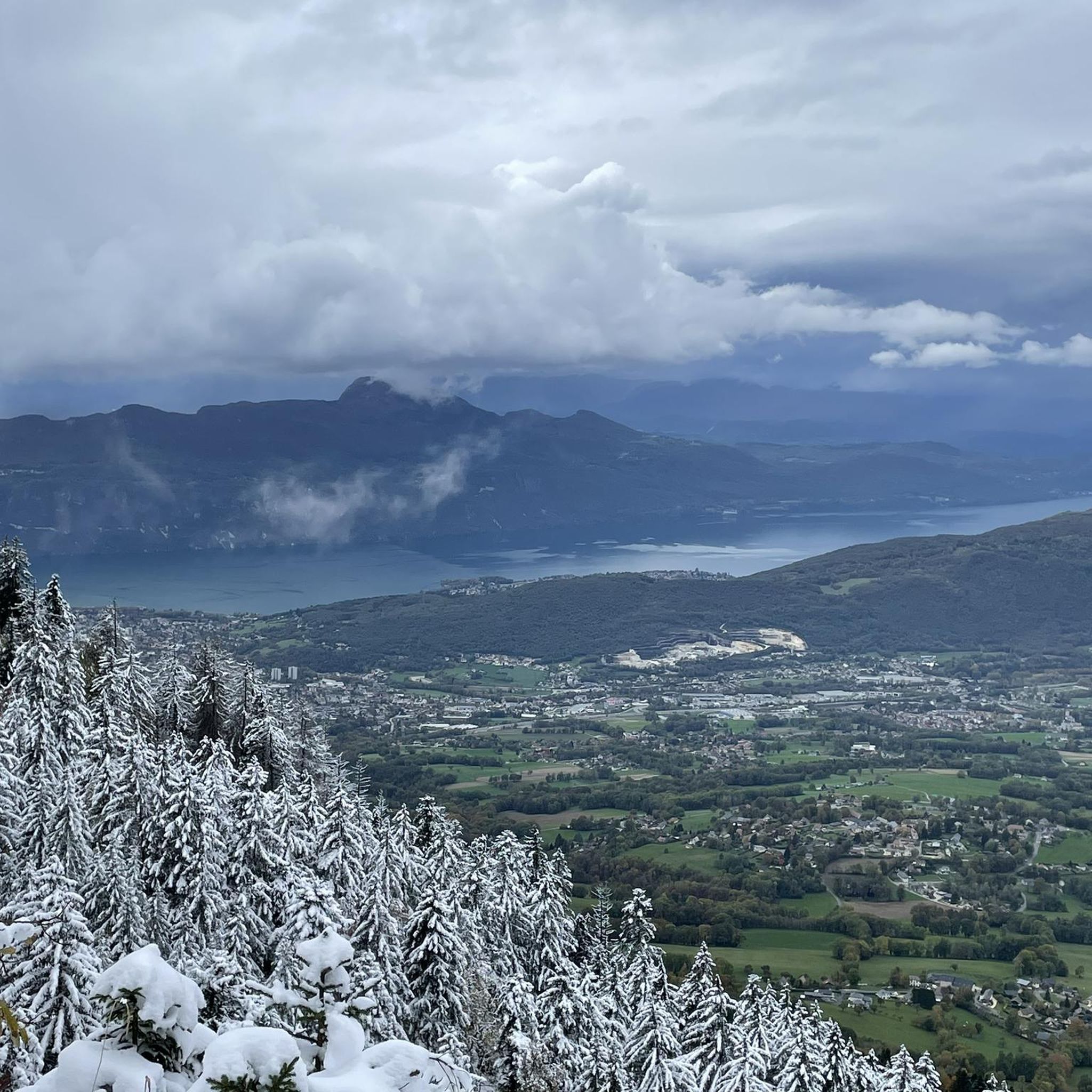
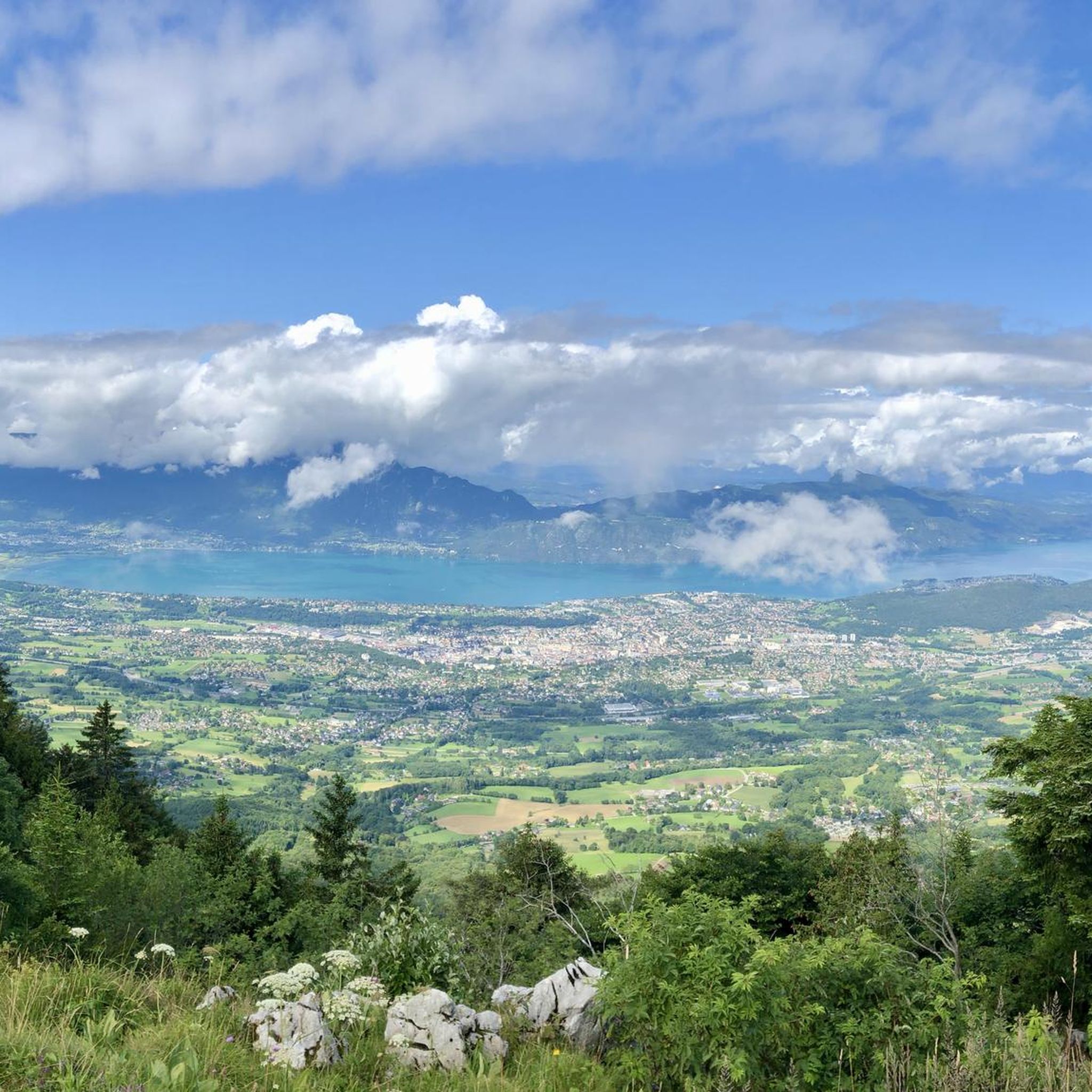
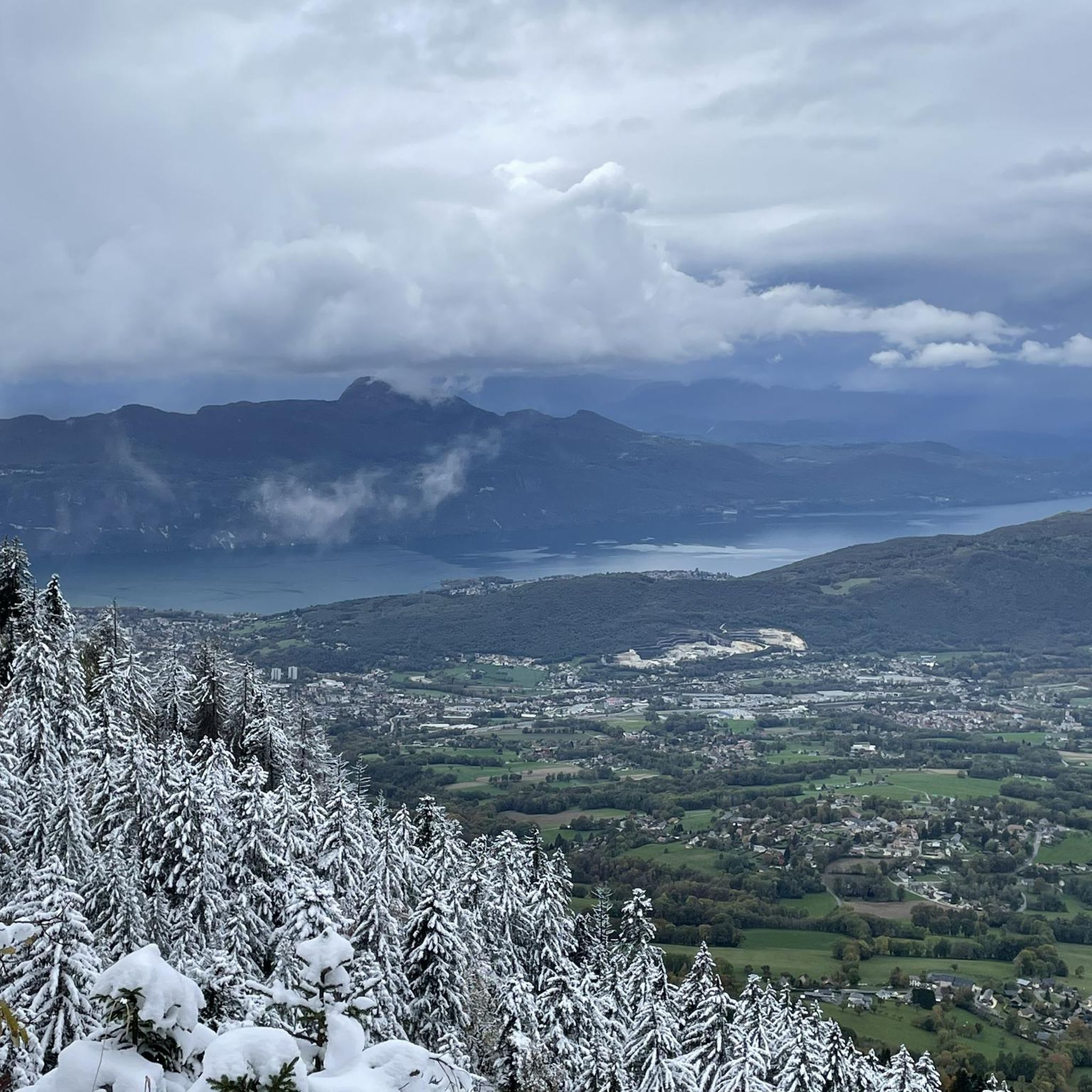
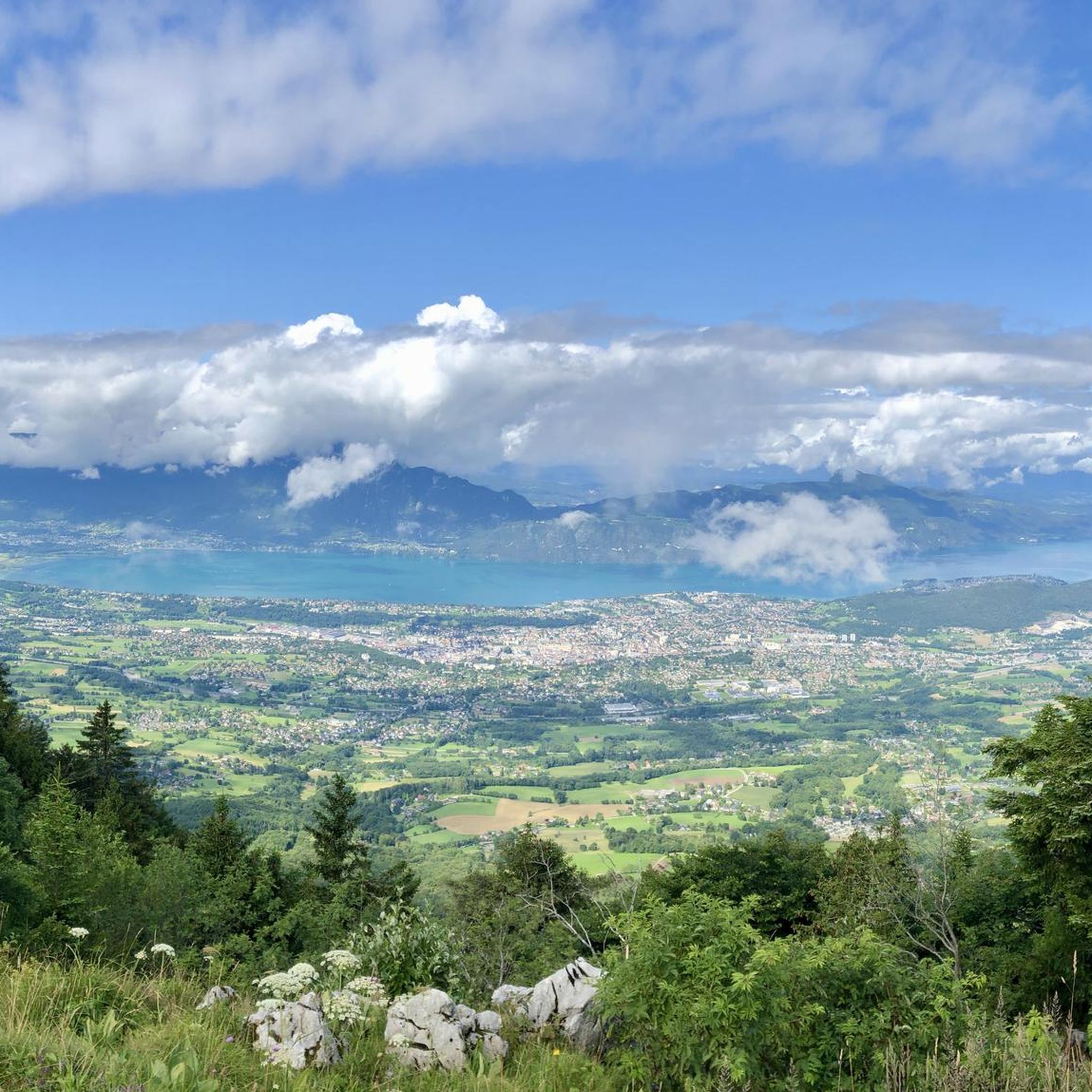

Tips from the Community

Friendly welcome and exceptional view. Ideal for a stop at midday or in the evening. Attention, remember to book. Water point appreciated just below at the farm level.
0
0

Avoid taking this path, it is dangerous, very steep and slippery with pebbles.
0
0

Magnificent view of Chambéry and Lake Bourget A lovely picnic area
0
0

Beautiful view of the lake.
0
0

Don't forget that even if it's in the mid-mountains, you need to be equipped for the weather, good shoes, and good physical condition.
0
0

It's a must-see place with a magnificent view of Lake Bourget.
1
0

Aerial passage via ladders with gas, not recommended for beginners. Avoid summer weekends, as crowded conditions can cause traffic jams.
0
0
Frequently Asked Questions
How many mountaineering routes are available around Trévignin?
There are over 10 mountaineering routes around Trévignin documented on komoot, offering a variety of experiences for different skill levels. These routes are highly rated by the komoot community, with an average score of 4.7 stars.
Are there routes for different skill levels in Trévignin?
Yes, Trévignin offers a spectrum of terrain suitable for various abilities. You'll find routes ranging from easy paths, such as the Mount Kamuniak – Nivolet Cross loop from Chambéry, to more challenging ascents like the Col du Chat (Chat Pass) – Cat's Tooth loop from Bourdeau, which features significant elevation gain.
What is the best time of year for mountaineering in Trévignin?
The region is excellent for mountaineering during the warmer months, typically from spring through autumn, when trails are clear. Mont Revard and the Bauges massif offer diverse terrain. While winter mountaineering is possible, especially with the nearby Savoie Grand Revard ski resort, conditions can be challenging and require appropriate gear and experience.
Are there family-friendly mountaineering routes in Trévignin?
Yes, some routes are more accessible for families. The varied terrain includes gentle slopes that can be suitable for those looking for less strenuous options. For example, the Mount Kamuniak – Nivolet Cross loop from Chambéry is rated as easy and takes about 1 hour 50 minutes, making it a good choice for families.
Can I bring my dog on the mountaineering trails in Trévignin?
Many outdoor trails in the Trévignin area are dog-friendly. However, it's always recommended to keep your dog on a leash, especially in protected areas like the Bauges massif, which is a regional natural park known for its biodiversity. This helps protect local wildlife and ensures a pleasant experience for all users.
Are there circular mountaineering routes available in Trévignin?
Yes, several routes are designed as loops, allowing you to start and end at the same point. Examples include the popular Col du Chat (Chat Pass) – Cat's Tooth loop from Bourdeau and the La Culaz – Fenêtre des Pendants loop from Arith, which traverses varied terrain within the Bauges massif.
What interesting natural features can I see along the mountaineering routes?
The region boasts stunning natural beauty. From the summit of Mont Revard, you can enjoy panoramic 360-degree views of Lac du Bourget and surrounding mountain ranges. You might also encounter highlights such as the Nivolet Cross, the Fairies' Cave, or the beautiful Cascade de la Doriaz.
How long do mountaineering routes in Trévignin typically take to complete?
The duration varies significantly depending on the route's length and difficulty. For instance, an easy route like the Mount Kamuniak – Nivolet Cross loop from Chambéry can be completed in about 1 hour 50 minutes, while a more challenging one such as the Col du Chat (Chat Pass) – Cat's Tooth loop from Bourdeau typically takes around 4 hours.
Are there parking facilities available near the mountaineering routes?
While specific parking details for every trailhead are not provided, Trévignin and its surrounding areas are generally well-equipped for outdoor enthusiasts. Many popular trailheads, especially those leading to Mont Revard or within the Bauges massif, typically have designated parking areas. It's advisable to check local signage upon arrival.
What do other mountaineers enjoy most about the routes in Trévignin?
The routes in Trévignin are highly rated by the komoot community, with an average score of 4.7 stars from over 10 reviews. Mountaineers often praise the breathtaking panoramic views, especially from Mont Revard overlooking Lac du Bourget, and the diverse terrain offered by the Bauges massif, which provides a balanced challenge and rich natural scenery.
Are there any other notable mountain passes or viewpoints to explore in the area?
Beyond the main mountaineering routes, the region offers several significant mountain passes and viewpoints. You can explore the Col du Chat (638 m), the Chambotte Pass, or the Orionde Viewpoint, all offering unique perspectives of the surrounding alpine landscape and Lac du Bourget.
Do I need any special permits or pay fees for mountaineering in Trévignin?
Based on available information, there are no specific permits or fees required for general mountaineering on the public trails around Trévignin. The Bauges massif is a regional natural park, and while it's a protected area, access for hiking and mountaineering is generally free. Always respect local regulations and private property.
Most popular routes around Trévignin
Most popular attractions around Trévignin

Get inspired with the komoot mobile app


Explore more
Browse the best Mountain Hikes & Routes in other regions.
