The best mountain hikes around Tresserve
4.8
(19)
117
hikers
11
hikes
Mountaineering routes around Tresserve offer access to the diverse landscapes of the French Alps, despite the commune itself being situated on a modest hill overlooking Lac du Bourget. The region serves as a gateway to significant mountainous terrain, including the Massif des Bauges Regional Natural Park and prominent peaks like Mont Revard and Mont du Chat. These areas feature varied elevations, from the shores of the glacial lake to higher alpine environments, providing a range of mountaineering opportunities.
Best mountaineering…
Last updated: May 15, 2026
4.5
(4)
23
hikers
7.43km
04:00
660m
660m
Hard mountaineering route. Good fitness required. Sure-footedness, sturdy shoes and alpine experience required.
4.0
(2)
20
hikers
6.25km
01:50
170m
170m
Easy mountaineering route. Great for any fitness level. Easily-accessible paths. Suitable for all skill levels.

Sign up for free
5.0
(1)
8
hikers
4.51km
01:31
180m
180m
Moderate mountaineering route. Great for any fitness level. Mostly accessible paths. Sure-footedness required.
5.0
(1)
5
hikers
9.32km
02:51
290m
290m
Hard mountaineering route. Good fitness required. Sure-footedness, sturdy shoes and alpine experience required.
4.8
(4)
7
hikers
8.31km
02:29
250m
250m
Moderate mountaineering route. Good fitness required. Easily-accessible paths. Suitable for all skill levels.
Get access to more routes and recommendations from other explorers.
Sign up for free
Already have an account?
Our route recommendations are based on thousands of hikes, rides, and runs completed by other people on komoot.
Start today with a free account
Your next adventure awaits.
Login or Signup

Tips from the Community


Avoid taking this path, it is dangerous, very steep and slippery with pebbles.
0
0

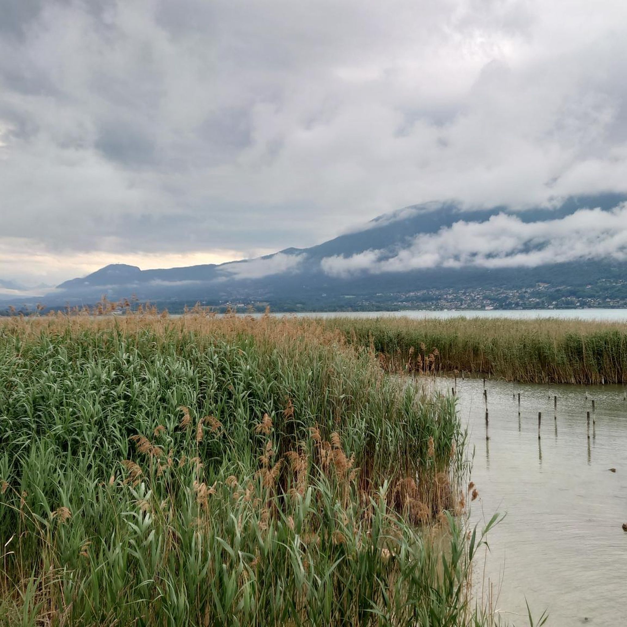
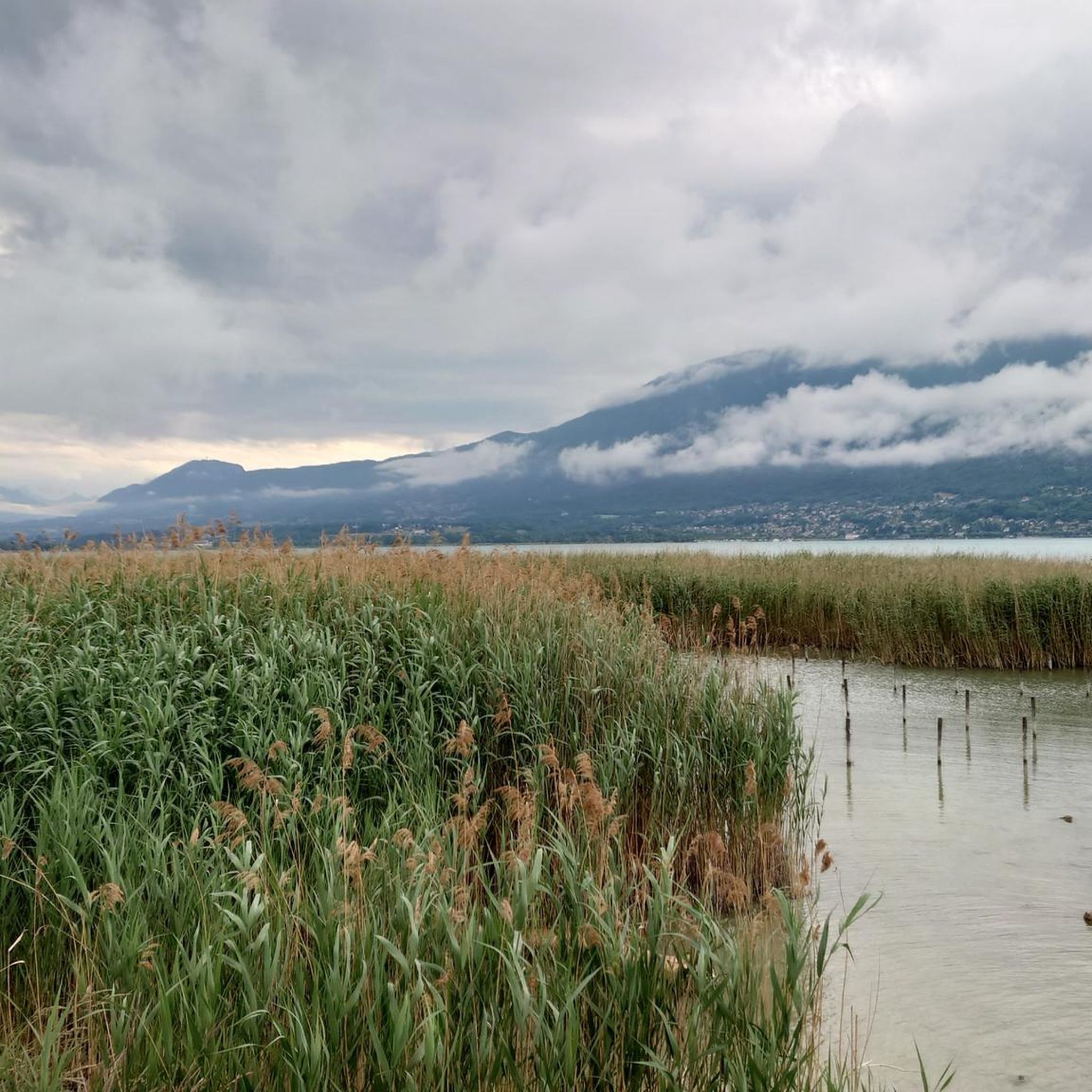
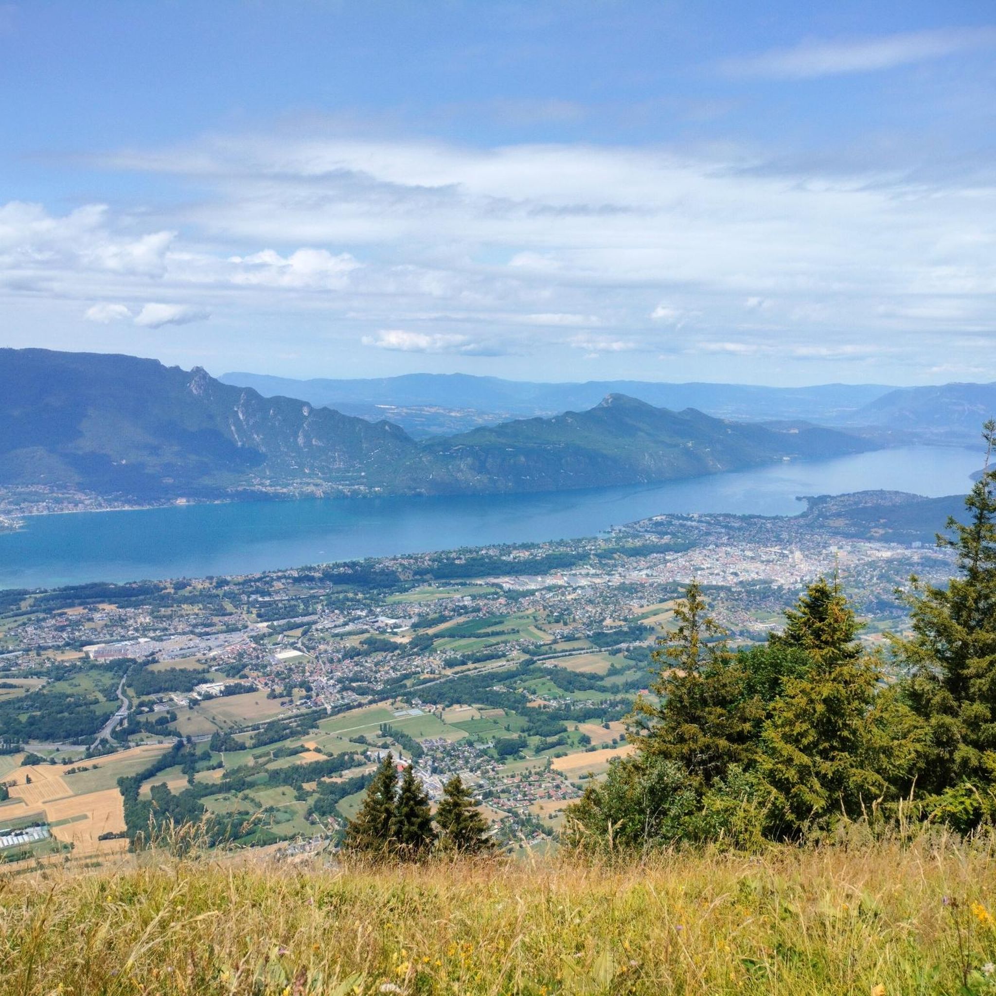
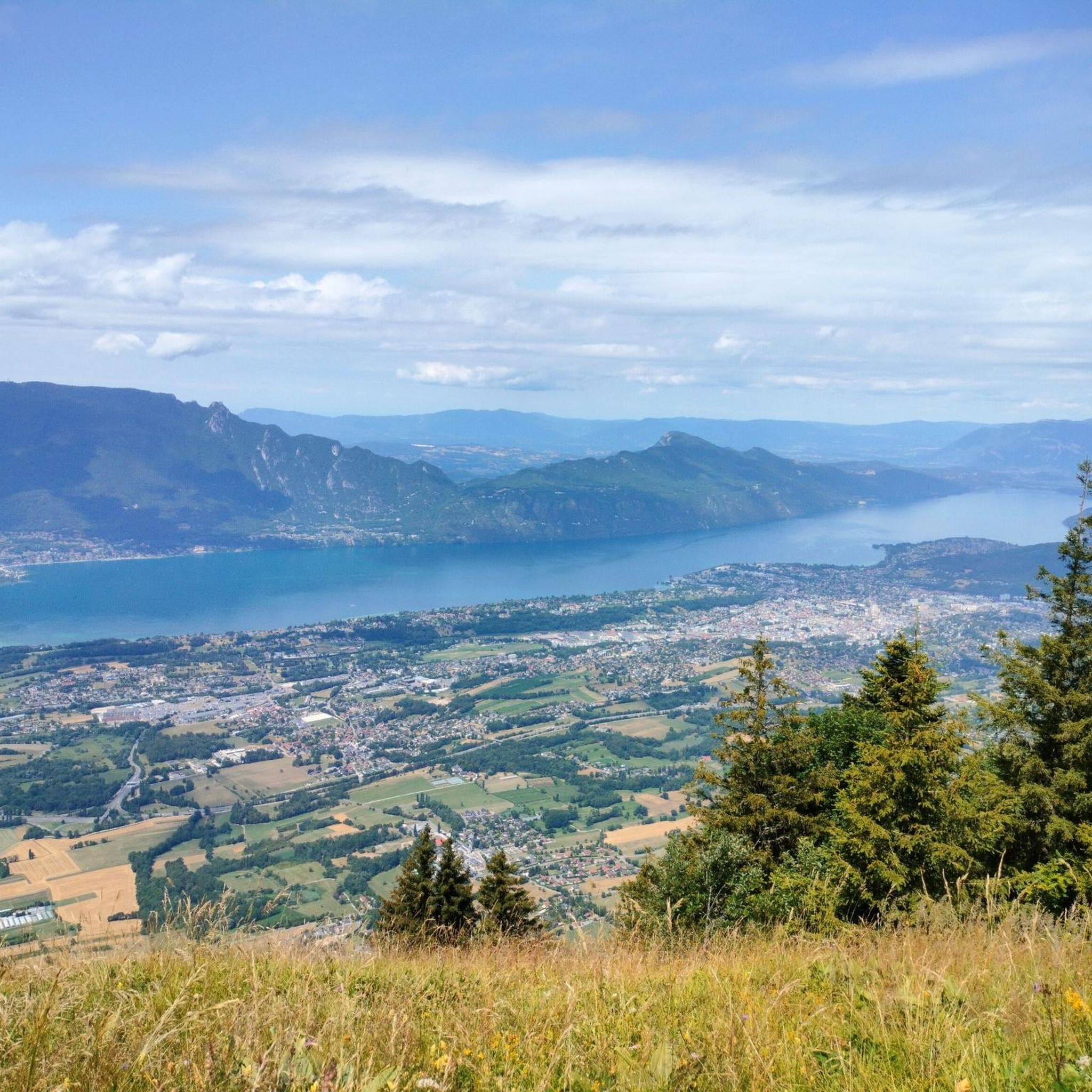
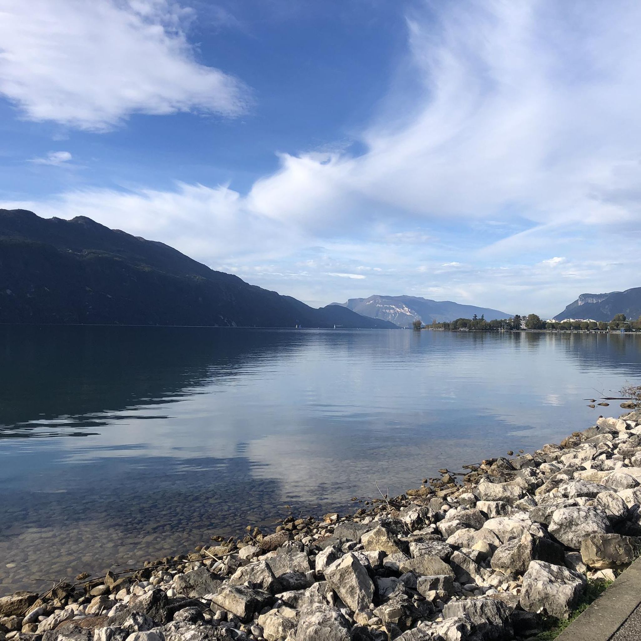
Magnificent view of Chambéry and Lake Bourget A lovely picnic area
0
0

Beautiful view of the lake.
0
0
Beautiful view of the lake.
0
0

Don't forget that even if it's in the mid-mountains, you need to be equipped for the weather, good shoes, and good physical condition.
0
0

It's a must-see place with a magnificent view of Lake Bourget.
1
0
Frequently Asked Questions
How many mountaineering routes are available around Tresserve?
There are over 10 mountaineering routes around Tresserve, offering a range of experiences from easy paths to more challenging ascents. These routes provide access to the diverse landscapes of the French Alps, including the Massif des Bauges Regional Natural Park and prominent peaks.
Are there any easy mountaineering routes suitable for beginners or families?
Yes, there are easy routes available. For instance, the Mount Kamuniak – Nivolet Cross loop from Chambéry is an easy 3.9-mile (6.3 km) path that leads to the Nivolet Cross, known for its panoramic views. This route is a good option for those looking for a less strenuous experience.
What are some challenging mountaineering routes near Tresserve?
For those seeking a challenge, the Col du Chat (Chat Pass) – Cat's Tooth loop from Bourdeau is a difficult 4.6-mile (7.4 km) trail featuring challenging ascents and rewarding views of the surrounding passes. Another difficult option is the La Féclaz – Nivolet Cross loop from Chambéry.
Are there any circular mountaineering routes around Tresserve?
Yes, many routes are designed as loops. Examples include the Col du Chat (Chat Pass) – Cat's Tooth loop from Bourdeau, the Mount Kamuniak – Nivolet Cross loop from Chambéry, and the Le Molard Noir – Molard Noir Viewpoint loop from Mont du Chat. These circular paths allow you to start and end at the same point.
What kind of landmarks or viewpoints can I expect to see along these routes?
The region offers spectacular natural landmarks and viewpoints. You can expect to see prominent mountain passes like Col du Chat (638 m) and Chambotte Pass. Notable peaks and summits include the Nivolet Cross, Mount Revard, and the Mont du Chat lookout (1504 m), all offering incredible panoramic views of Lac du Bourget and the surrounding Alps.
What do other mountaineers enjoy most about the routes in Tresserve?
The mountaineering routes around Tresserve are highly rated by the komoot community, with an average score of 4.8 stars from over 10 reviews. Mountaineers often praise the diverse terrain, from glacial lake views to rugged alpine environments, and the rewarding panoramic vistas from summits like the Nivolet Cross.
Is public transport available to access mountaineering trails near Tresserve?
Tresserve is well-situated near larger towns like Aix-les-Bains and Chambéry, which typically have public transport connections. While specific bus routes directly to trailheads may vary, using public transport to reach these towns can be a good starting point for accessing the wider network of trails in the region.
What is the best season for mountaineering around Tresserve?
The best season for mountaineering around Tresserve is generally from late spring to early autumn (May to October), when the weather is more stable and trails are clear of snow. However, the climate in the Alps can be unpredictable, with significant precipitation and thunderstorms possible, so always check local forecasts before heading out.
Are there any routes that offer views of Lac du Bourget?
Many routes in the area provide stunning views of Lac du Bourget, the largest natural glacial lake in France. The Col du Chat (Chat Pass) – Cat's Tooth loop from Bourdeau, for example, offers views of the lake and surrounding passes. The Mont du Chat area, including the Mont du Chat lookout, is particularly renowned for its panoramic vistas over the lake.
Do I need a permit for mountaineering in the Savoie region around Tresserve?
Generally, for hiking and mountaineering on established trails in the Massif des Bauges Regional Natural Park and other areas around Tresserve, a specific permit is not required. However, it's always advisable to check for any local regulations or protected area rules, especially if venturing off marked paths or into higher alpine zones.
Are there any mountaineering routes that pass by a cafe or restaurant?
While specific routes with cafes directly on the trail are not detailed, many routes start or end near towns like Chambéry or Aix-les-Bains, which offer a variety of cafes and restaurants. For example, the Nivolet Cross – Nivolet Refuge loop from Chambéry starts near Chambéry, providing access to amenities before or after your adventure.
Most popular routes around Tresserve
Most popular attractions around Tresserve

Get inspired with the komoot mobile app


Explore more
Browse the best Mountain Hikes & Routes in other regions.
