The best running trails around Enveitg
4.7
(57)
5,337
runners
298
runs
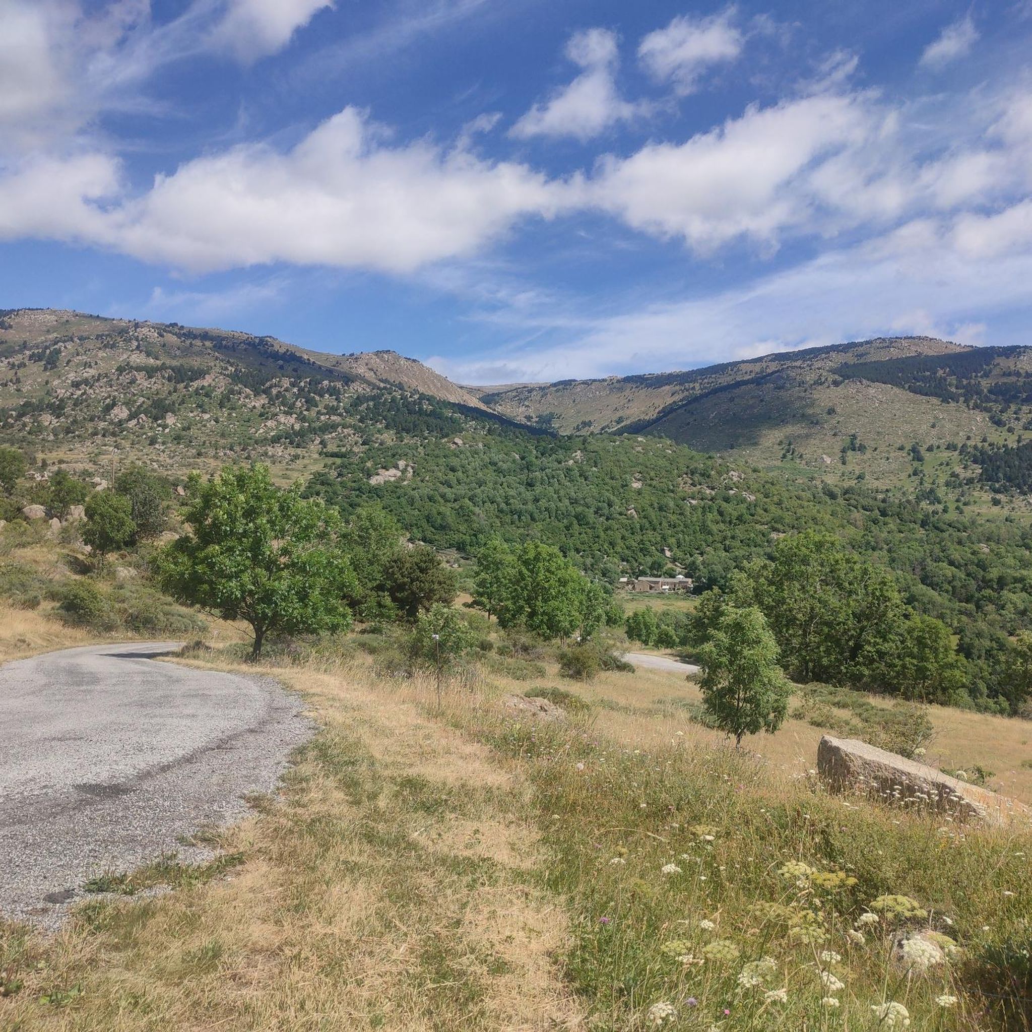
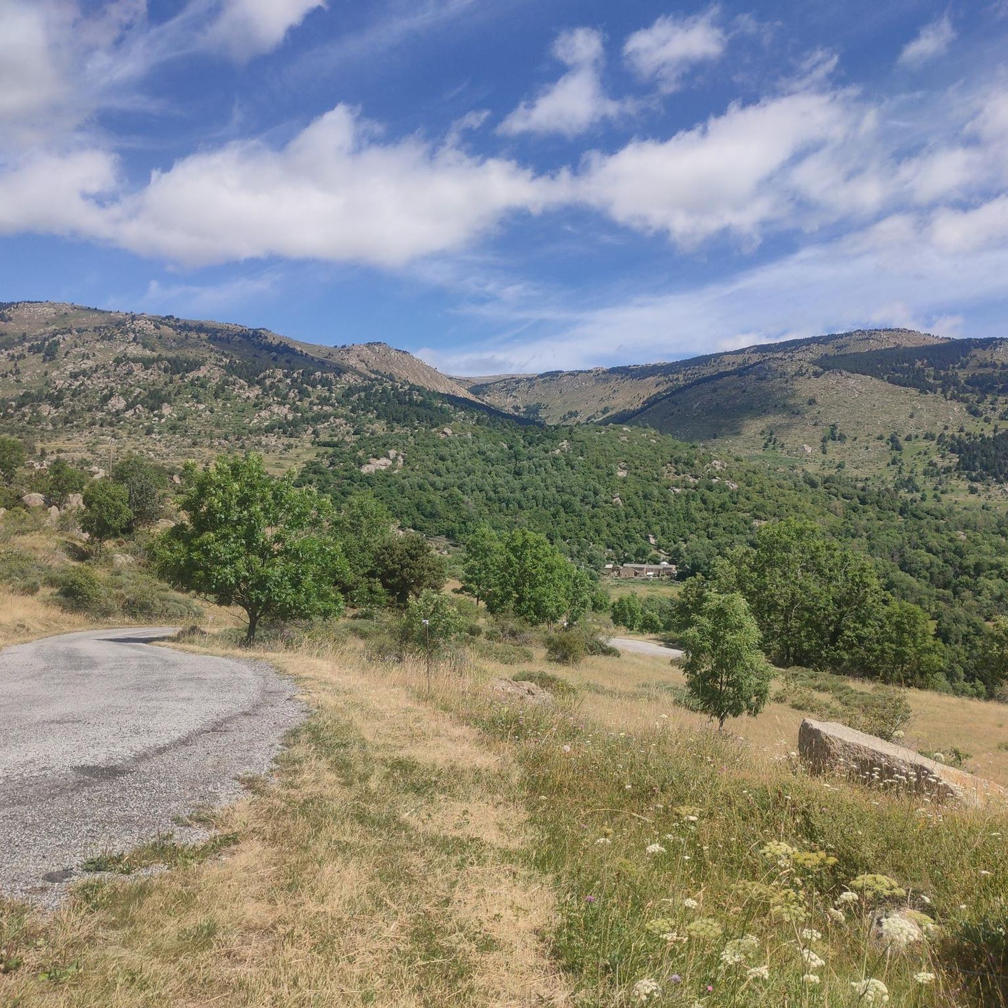
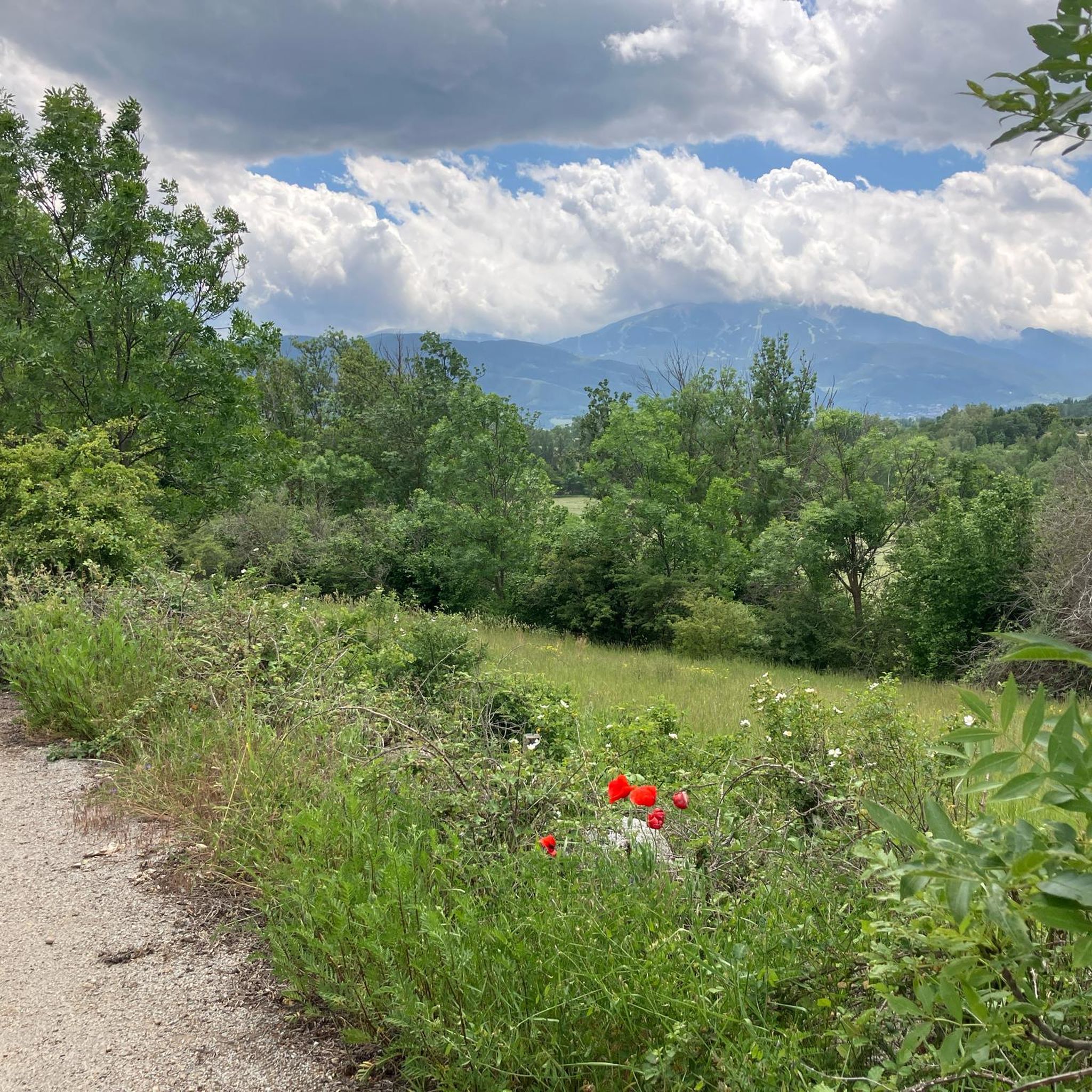
Jogging routes around Enveitg traverse the Cerdanya valley, characterized by its natural herbaceous environments, meadows, and forests. The region is situated within the Pyrénées Catalanes Regional Nature Park, offering varied terrain from gentle paths through fields to routes with moderate elevation changes. This setting provides a diverse backdrop for running, with routes often featuring views of the surrounding mountains and natural landscapes.
Best jogging routes around Enveitg
- The most popular jogging route is Estany de Puigcerdà – Puigcerdà Pond loop…
Last updated: August 29, 2026
3.7
(3)
47
runners
6.20km
00:39
50m
50m
Moderate run. Good fitness required. Mostly paved surfaces. Suitable for all skill levels.
5.0
(1)
29
runners
11.8km
01:16
110m
110m
Moderate run. Good fitness required. Mostly paved surfaces. Suitable for all skill levels.

Sign up for free
4.0
(1)
32
runners
8.25km
00:53
70m
70m
Moderate run. Good fitness required. Mostly paved surfaces. Suitable for all skill levels.
25
runners
11.1km
01:17
210m
210m
Moderate run. Good fitness required. Mostly paved surfaces. Suitable for all skill levels.
27
runners
9.36km
01:00
100m
100m
Moderate run. Good fitness required. Mostly paved surfaces. Suitable for all skill levels.
Get access to more routes and recommendations from other explorers.
Sign up for free
Already have an account?
Our route recommendations are based on thousands of hikes, rides, and runs completed by other people on komoot.
Start today with a free account
Your next adventure awaits.
Login or Signup


Tips from the Community

A beautiful Spanish exclave that is worth a visit.
1
0


Llívia is a municipality located in the Cerdanya region. Geographically it is located in the French state, as a consequence of the Treaty of the Pyrenees of 1659. Located at 1223 meters above sea level, it is crossed by the Segre River. It is the oldest human group in Cerdanya, dating back to the end of the Bronze Age. It was colonized by the Romans at the end of the 1st century BC and due to its particular geographical location, it is right at the most comfortable pass in the Pyrenees, it has had an uninterrupted human presence throughout history, seeing the Visigoth domination pass, Muslim and again Christian.
2
0

Worth seeing small Spanish place surrounded by French villages. Interesting story why this stayed Spain. More information: https://de.wikipedia.org/wiki/Ll%C3%ADvia?wprov=sfla1
6
0

Mountain paths of medium difficulty. There is some ascent but it can be done with a moderate effort.
2
0

Puigcerdà pond is an artificial pond located in the northwest part of the town of Puigcerdà. The first news of the existence of this pond date from the 13th century, specifically from 2 December 1260, as described by priest Jaume Martí i Sanjaume in his book Dietari de Puigcerdà. The lake's water supply comes from the Querol river which is brought to Puigcerdà by means of an artificial drain. https://ca.wikipedia.org/wiki/Estany_de_Puigcerd%C3%A0
0
0

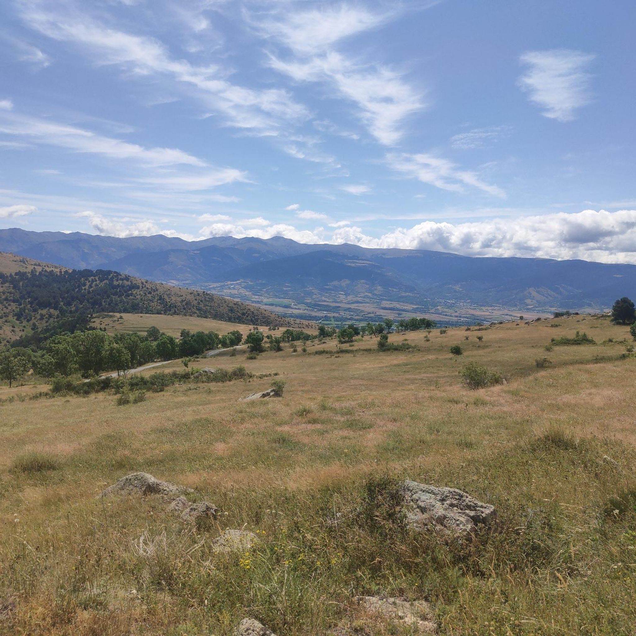
360 ° view of the lower Cerdanya,
0
0
Frequently Asked Questions
How many running routes are available around Enveitg?
There are over 10 dedicated running routes around Enveitg, offering a variety of experiences for different fitness levels. These routes traverse the beautiful Cerdanya valley, known for its natural herbaceous environments, meadows, and forests.
What kind of terrain can I expect on the jogging trails in Enveitg?
The terrain around Enveitg is quite varied, ranging from gentle paths through fields to routes with moderate elevation changes. You'll find yourself running through lush landscapes, meadows, and forests, all within the stunning Pyrénées Catalanes Regional Nature Park.
Are there any easy or beginner-friendly running routes in the Enveitg area?
Yes, Enveitg offers routes suitable for beginners. There is at least one easy route, and many of the moderate trails can also be enjoyed at a leisurely pace, allowing you to soak in the fresh air and breathtaking scenery.
What do other runners say about the trails in Enveitg?
The running routes in Enveitg are highly rated by the komoot community, with an average score of 4.6 stars from over 40 reviews. More than 4,000 runners have used komoot to explore the varied terrain, often praising the scenic views and diverse natural environment.
Can I find circular running routes around Enveitg?
Absolutely. Many of the routes in the area are circular, allowing you to start and finish in the same location. For example, the Torniquet Lake loop from Latour-de-Carol - Enveitg is a popular moderate circular path that offers a scenic running experience.
Are there any notable landmarks or natural attractions to see while jogging near Enveitg?
Yes, the region is rich in natural beauty. You can find routes that pass by beautiful lakes, such as the Lake Bouillouses, or offer views of towering peaks like the Summit of Pic Carlit. The Cerdanya Greenway also provides extensive scenic routes.
What is the best time of year to go jogging in Enveitg?
Enveitg offers stunning views year-round. You can experience snow-capped peaks in winter, blooming fields in spring and summer, and vibrant forest colors in autumn. The varied landscapes ensure a beautiful backdrop for your run no matter the season.
Are there any longer running routes for more experienced runners?
Yes, for those seeking a greater challenge, there are longer and more difficult routes. For instance, the Ermita de Bell-lloc loop from Béna-Fanès is a challenging 15 km trail with significant elevation gain, perfect for experienced trail runners.
Can I spot any wildlife while running in the Enveitg area?
The region is known for its wild nature and abundance of wildlife. Joggers often report encountering deer, especially in the quieter, forested areas. Keep an eye out for other local fauna as you enjoy your run through the Pyrénées Catalanes Regional Nature Park.
Are there any running routes that pass by the Puigcerdà Pond?
Yes, the Puigcerdà Pond is a popular feature in the area. You can enjoy routes like the Estany de Puigcerdà – Puigcerdà Pond loop from Latour-de-Carol - Enveitg, which is a moderate 11.8 km trail offering pleasant views of the pond and surrounding landscape.
What are the typical distances for running routes around Enveitg?
Running routes around Enveitg vary in length, catering to different preferences. You'll find trails ranging from approximately 9 km to over 15 km. For example, the Puigcerdà Pond – Estany de Puigcerdà loop from Latour-de-Carol - Enveitg is about 9.4 km, while others extend further into the natural park.
Most popular routes around Enveitg
Most popular attractions around Enveitg

Get inspired with the komoot mobile app


Explore more
Browse the best Running Trails & Routes in other regions.
