The best walks and hikes around Pézilla-La-Rivière
4.4
(528)
3,197
hikers
182
hikes
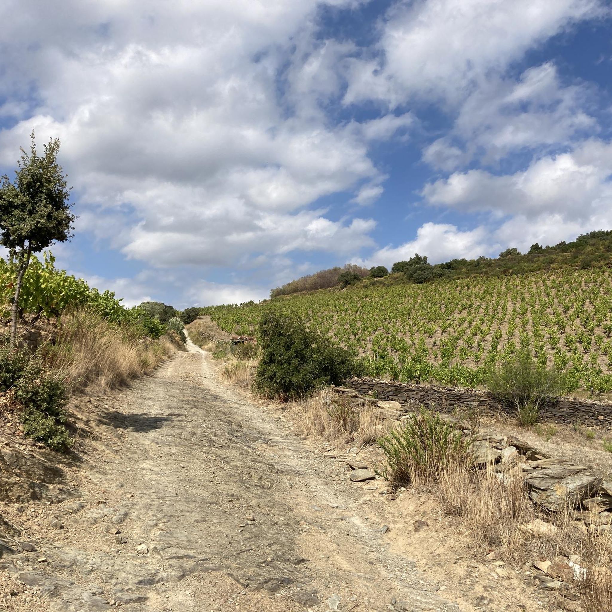
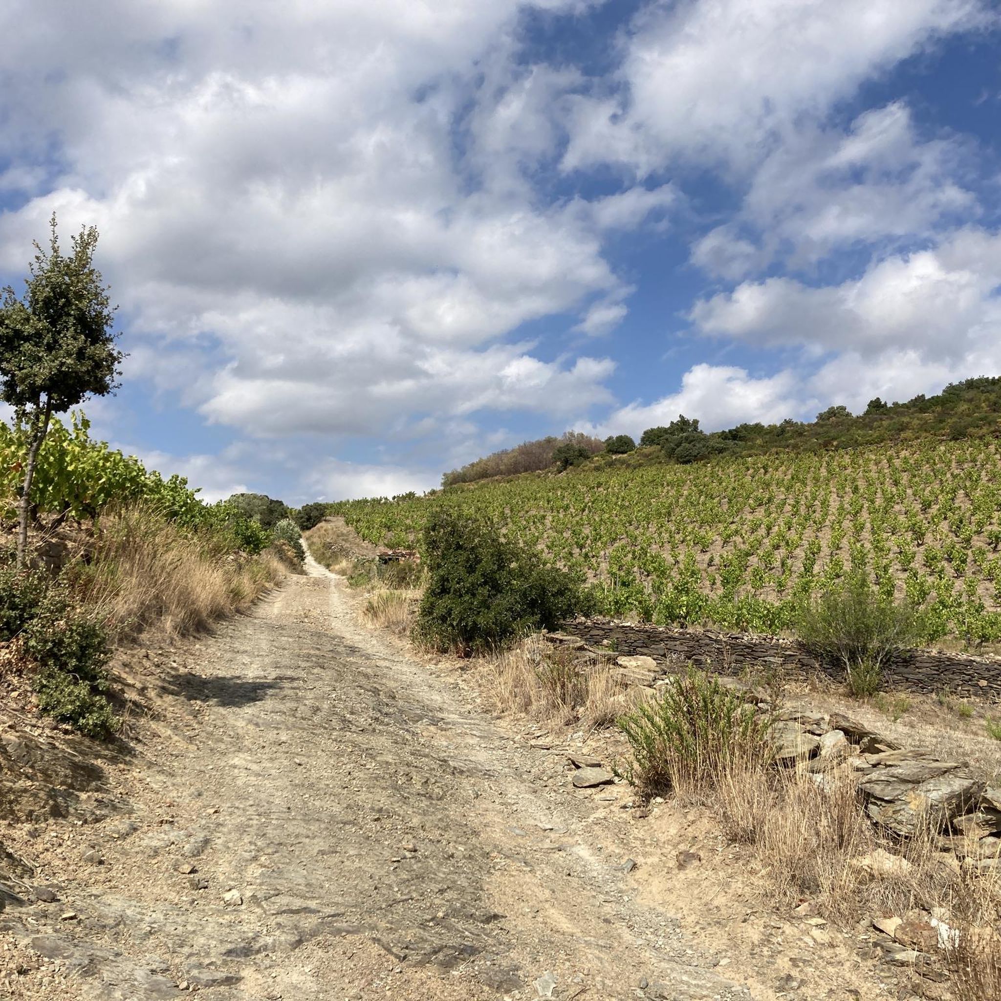
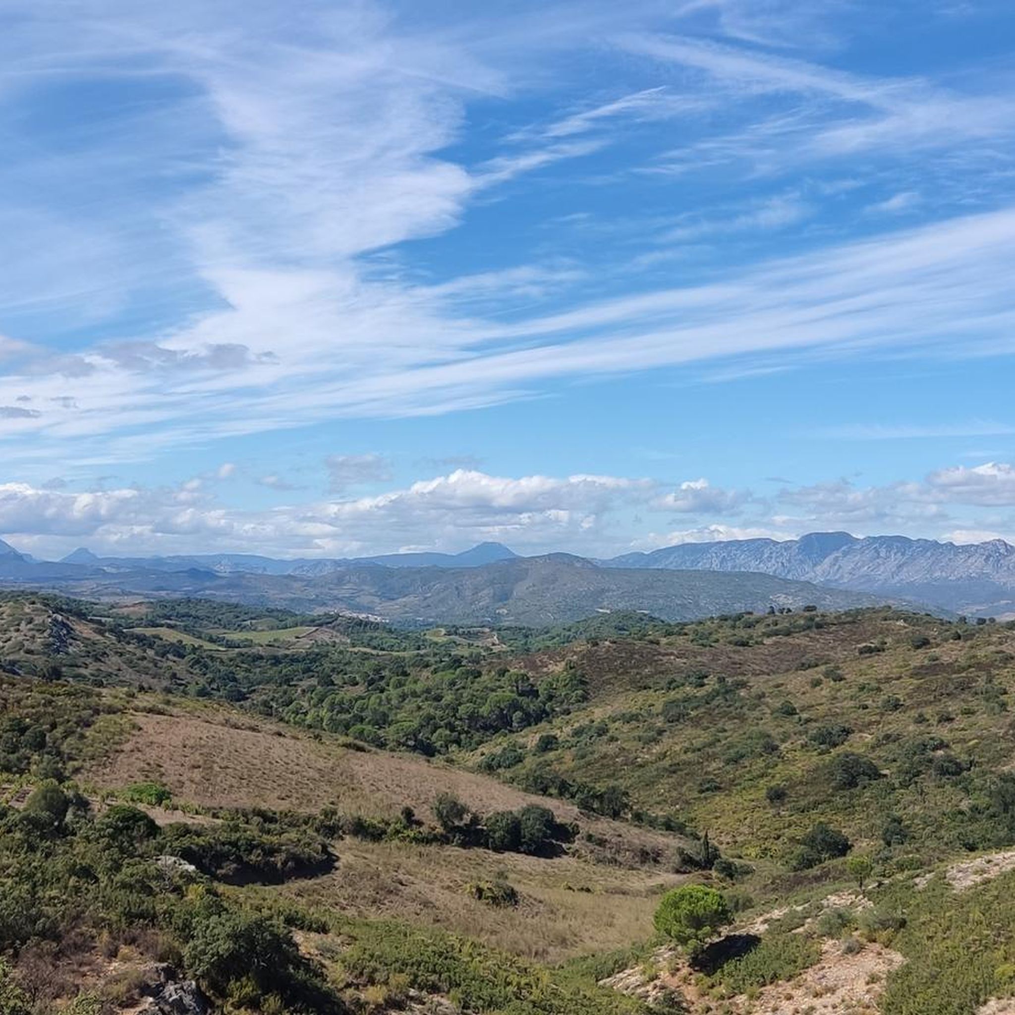
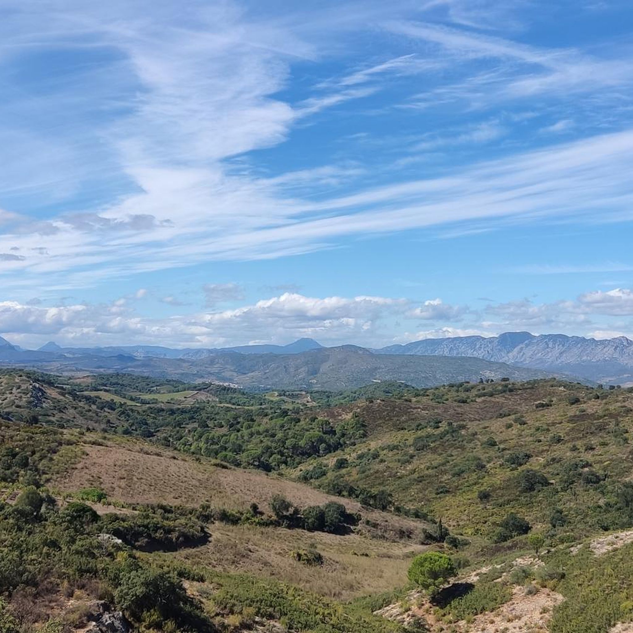
Hiking around Pézilla-La-Rivière offers diverse landscapes, from cultivated vineyards to Mediterranean garrigue. The region features undulating hills providing panoramic views of the Pyrénées and Corbières mountain ranges, as well as the Têt and Agly valleys. Some trails follow tranquil rivers and canals, offering gentler paths. This area serves as a gateway to the broader Massif des Corbières, known for its varied terrain.
Best hiking trails around Pézilla-La-Rivière
- The most popular hiking route is The hermitage of Força Real from Corneilla-la-Rivière…
Last updated: June 25, 2026
4.0
(9)
22
hikers
11.5km
03:32
400m
400m
Hike the moderate 7.1-mile Lambert Narach Trail, gaining 1307 feet to the summit of Força Real in 3 hours and 31 minutes.
4.7
(14)
36
hikers
7.04km
02:15
290m
290m
Moderate hike. Good fitness required. Easily-accessible paths. Suitable for all skill levels.

Sign up for free
4.0
(3)
28
hikers
3.31km
00:52
20m
20m
Easy hike. Great for any fitness level. Easily-accessible paths. Suitable for all skill levels.
4.5
(2)
25
hikers
15.7km
04:40
430m
430m
Moderate hike. Good fitness required. Easily-accessible paths. Suitable for all skill levels.
4.4
(5)
22
hikers
13.9km
04:11
410m
410m
Moderate hike. Good fitness required. Easily-accessible paths. Suitable for all skill levels.
Get access to more routes and recommendations from other explorers.
Sign up for free
Already have an account?
Our route recommendations are based on thousands of hikes, rides, and runs completed by other people on komoot.
Start today with a free account
Your next adventure awaits.
Login or Signup

Tips from the Community

Super view and superb MTB descent on a singletrack.
0
0

Magnificent viewpoint overlooking the Roussillon plain with Mount Canigou directly opposite. The wind can sometimes be strong at the summit. Also accessible from Pezilla.
0
0

A very beautiful hike. We're on high ground almost the entire time, with a beautiful view of the entire region. I highly recommend it except on hot days. There's very little shade.
0
0

Superb sunrise bike ride. 1st in Perpignan in 2022
0
0


A beautifully situated chapel with a breathtaking view from the forecourt; the Canigou is practically right in front of you - highly recommended.
2
0
Gigantic panoramic view that can only be described as breathtaking; an absolute recommendation.
3
0

nice for fishing and the Cape with the noise of the highway nearby
1
0
Frequently Asked Questions
How many hiking trails are available around Pézilla-La-Rivière?
There are over 160 hiking routes around Pézilla-La-Rivière, offering a wide range of options from easy strolls to more challenging ascents. The komoot community has explored over 3000 of these routes.
What types of landscapes can I expect to see while hiking in Pézilla-La-Rivière?
The region offers diverse landscapes, including picturesque vineyards, Mediterranean garrigue, and undulating hills. You'll find trails winding through cultivated beauty and wild flora, with many routes providing panoramic views of the majestic Pyrénées and Corbières mountain ranges, as well as the Têt and Agly valleys. Some paths also follow tranquil rivers and canals.
Are there easy hiking trails suitable for beginners or leisurely walks?
Yes, Pézilla-La-Rivière has numerous easy trails. For a gentle option, consider the Lac de Saint Feliu loop from Saint-Féliu-d'Avall, which is a 2.1-mile (3.3 km) path through a tranquil lakeside area. There are 78 easy routes in total, perfect for a relaxed outing.
Are there any circular hiking routes in the area?
Yes, many routes around Pézilla-La-Rivière are circular. For example, the Força Real loop from Col de la Dona is a moderate 4.4-mile (7.0 km) path offering varied terrain and vistas. Another option is the Mas de Las Fons loop from Lieu Dit Coume Dels Tres Pilous, an easy 4.3-mile (6.8 km) route.
What are some notable landmarks or viewpoints I can discover on a hike?
Many trails lead to exceptional panoramic vistas. The region is known for its views of the Pyrénées and Corbières. Specific points of interest include the area around Força Real, which offers beautiful viewpoints. You can also explore natural monuments like The Organ Pipes of Ille-sur-Têt or Roc de Mallorca, and religious sites such as Sant Martí de la Roca.
What is the best time of year to go hiking in Pézilla-La-Rivière?
Pézilla-La-Rivière is suitable for hiking across multiple seasons. Spring and autumn offer pleasant temperatures and vibrant landscapes, with blooming garrigue or changing vineyard colors. Summer can be warm, making early morning or late afternoon hikes ideal, especially on shaded river paths. Winter provides cooler, crisp air for hiking, often with clear views of the snow-capped Pyrénées.
Are there family-friendly hiking options in Pézilla-La-Rivière?
Yes, the region offers several family-friendly walks. The easy trails, particularly those following canals or around lakes like the Lac de Saint Feliu loop, are well-suited for families. These paths are generally less strenuous and provide a pleasant outdoor experience for all ages.
Can I bring my dog on the hiking trails around Pézilla-La-Rivière?
Many trails in the Pézilla-La-Rivière area are dog-friendly, allowing you to enjoy the natural beauty with your canine companion. It's always recommended to keep dogs on a leash, especially in areas with livestock or protected wildlife, and to carry water for both yourself and your pet.
What are the typical durations and distances for hikes in this region?
Hikes in Pézilla-La-Rivière vary significantly in duration and distance. You can find short walks like the Lac de Saint Feliu loop, which is 2.1 miles (3.3 km) and takes about 52 minutes. Longer, more moderate routes, such as The hermitage of Força Real from Corneilla-la-Rivière, can be up to 7.1 miles (11.5 km) and take around 3 hours 32 minutes.
What do other hikers say about the trails in Pézilla-La-Rivière?
The hiking routes around Pézilla-La-Rivière are highly rated by the komoot community, with an average score of 4.5 stars from over 400 reviews. Hikers often praise the diverse terrain, the stunning panoramic views of the Pyrénées, and the well-maintained paths through vineyards and garrigue.
Are there any challenging hikes for experienced trekkers?
While the majority of routes are easy to moderate, there are 10 difficult trails available for more experienced trekkers seeking a challenge. These routes often involve greater elevation gain and longer distances, providing a more strenuous workout and rewarding views.
Is public transport available to reach hiking trailheads?
While specific public transport links directly to every trailhead may be limited, Pézilla-La-Rivière is part of the Pyrénées-Orientales department, which has regional bus services. For detailed information on reaching specific starting points, it's advisable to check local transport schedules or consider driving to trailheads where parking is often available.
Where can I park my car when going for a hike?
Many trailheads and popular hiking areas around Pézilla-La-Rivière offer designated parking facilities. For routes starting from villages or specific points like Col de la Dona, you will typically find convenient parking options. It's always a good idea to check the specific route details on komoot for parking recommendations.
Most popular routes around Pézilla-La-Rivière
Most popular attractions around Pézilla-La-Rivière

Get inspired with the komoot mobile app


Explore more
Browse the best Hikes in other regions.
