The best road cycling routes around Saint-Ours
4.6
(345)
12,457
riders
126
rides
Road cycling around Saint-Ours is characterized by its location within the Montérégie cycling network, offering diverse landscapes for cyclists. The region features routes along the tranquil Richelieu River, providing continuous water views. Cyclists can also explore extensive agricultural and rural scenery, with paths often built over old railway tracks or along corridors away from motor traffic. While many paths are relatively flat, the area also includes green hills, offering varied challenges for road cyclists.
Best road cycling routes around Saint-Ours
…Last updated: October 2, 2026
4.7
(22)
980
riders
79.6km
04:31
1,830m
1,830m
Hard road ride. Very good fitness required. Mostly well-paved surfaces and easy to ride.
4.6
(23)
643
riders
42.1km
02:06
600m
600m
Moderate road ride. Good fitness required. Mostly well-paved surfaces and easy to ride.

4.5
(6)
132
riders
62.9km
03:53
1,730m
1,730m
Hard road ride. Very good fitness required. Mostly well-paved surfaces and easy to ride.
4.5
(4)
175
riders
48.8km
02:19
580m
580m
Moderate road ride. Good fitness required. Mostly well-paved surfaces and easy to ride.
4.5
(2)
92
riders
65.8km
03:31
1,260m
1,260m
Hard road ride. Very good fitness required. Mostly well-paved surfaces and easy to ride.
Get access to more routes and recommendations from other explorers.
Already have an account?
Our route recommendations are based on thousands of hikes, rides, and runs completed by other people on komoot.
Start today with a free account
Your next adventure awaits.
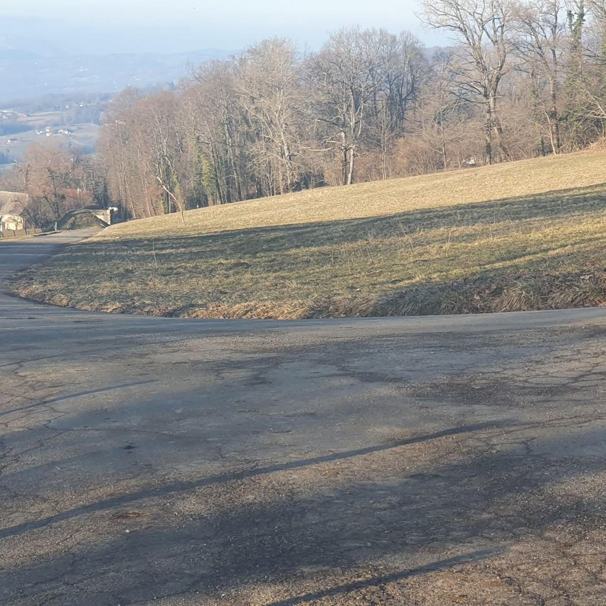
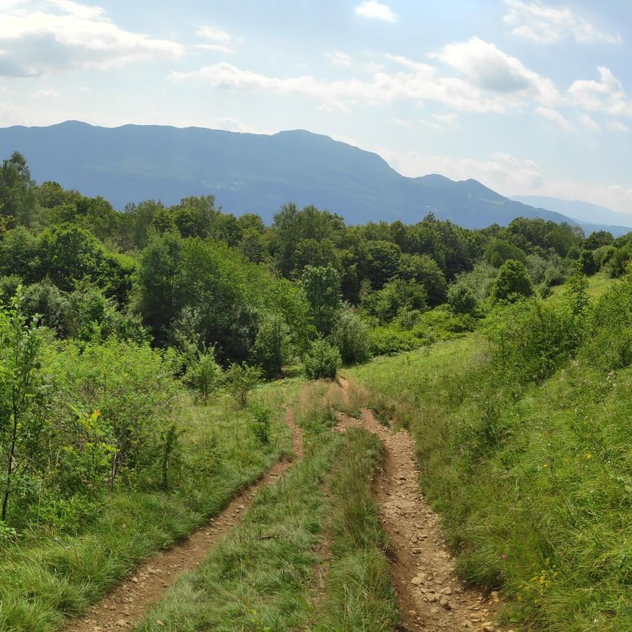
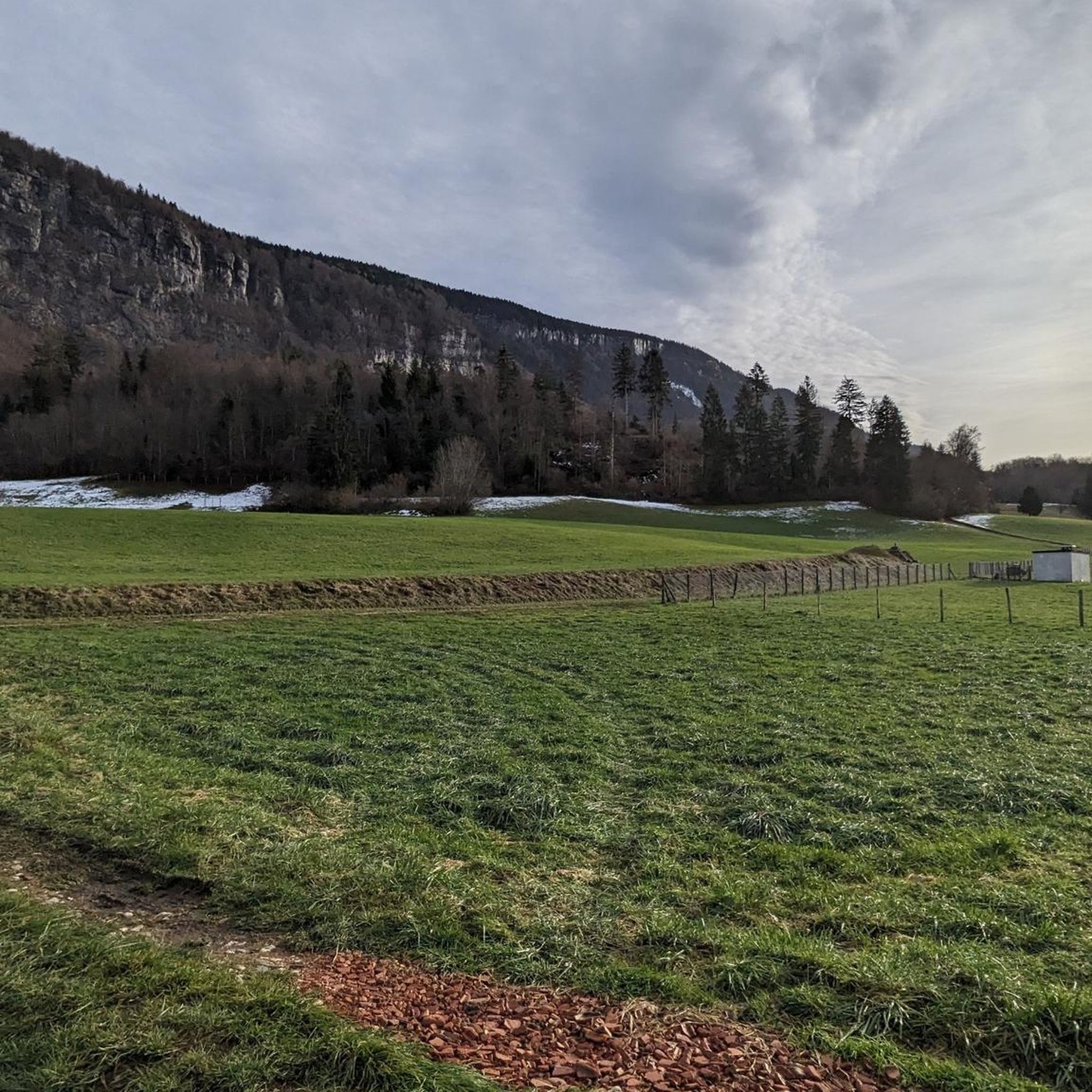
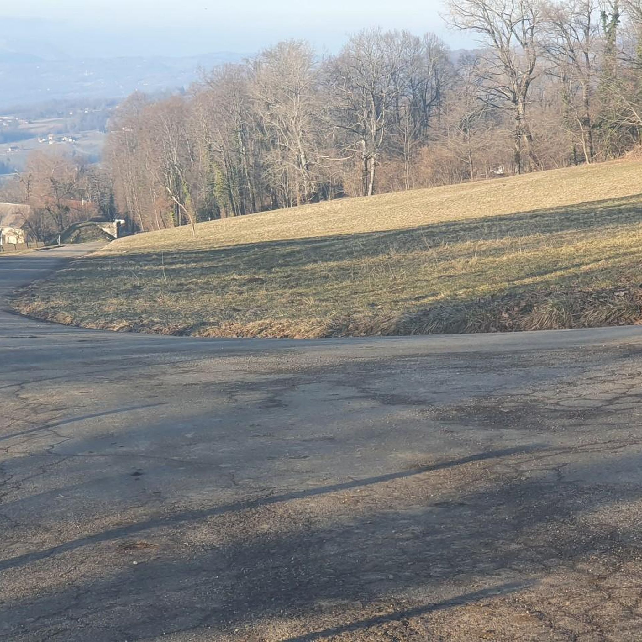


Tips from the Community

Pity, it would be sensible.
2
0
Small pass, quiet ascent via the D10. At the pass with a fountain.
2
0

Beautiful to cycle and to experience, unmissable.
0
0

Great pass with very little traffic which allows you to enjoy a panorama in complete tranquility. The viewpoint at the summit offers a beautiful view of the Chautagne and Lake Bourget from the paragliding departure slope (accessible from a path from the parking lot up there) 🪂 Pass accessible 2km from Chindrieux station or 11km from Culoz station 🚃
0
0
Great pass with very little traffic which allows you to enjoy a panorama in complete tranquility. The viewpoint at the summit offers a beautiful view of the Chautagne and Lake Bourget from the paragliding departure slope (accessible from a path from the parking lot up there) 🪂 Pass accessible 2km from Chindrieux station or 11km from Culoz station 🚃
0
0

Nothing but downhill from Revard!!! It’s not the same from Chambé
1
0

The original Marian shrine "La Salette," which is referred to in this patronal feast, is located in the French Alps (Grenoble district) and is an important Marian shrine, even if it has not achieved the same level of fame as other pilgrimage sites honoring the Mother of God—such as Lourdes in the French Pyrenees or Fatima in Portugal. In komoot, the highlight "La Salette" can be found in the "Hiking" category at the following link: + https://www.komoot.com/de-de/highlight/1861054
1
0
Frequently Asked Questions
How many road cycling routes are available around Saint-Ours?
There are over 110 road cycling routes around Saint-Ours, offering a wide range of options for different skill levels. You'll find everything from easy rides to more challenging routes with significant elevation gain.
What kind of terrain can I expect when road cycling in Saint-Ours?
Road cycling in Saint-Ours offers diverse terrain. You can expect scenic routes along the tranquil Richelieu River, extensive agricultural and rural landscapes, and paths often built over old railway tracks. While many routes are relatively flat, the region also features green hills, providing varied challenges for cyclists seeking more elevation.
Are there road cycling routes suitable for families or beginners?
Yes, Saint-Ours offers routes suitable for families and beginners. The Montérégie cycling network, which encompasses Saint-Ours, includes many paths that are relatively flat and often away from motor traffic, making them ideal for less experienced cyclists. Out of the over 110 routes, 12 are classified as easy.
What are some notable landmarks or natural features I can see along the routes?
While cycling around Saint-Ours, you can enjoy continuous views of the Richelieu River and picturesque rural landscapes. A significant landmark is the Saint-Ours Canal National Historic Site, which is a central hub for cycling and offers historical insight. You might also encounter charming historic villages with century-old houses. For specific natural features, routes like the Trévignin Bakery – View of Lac du Bourget loop from Cusy offer views of Lac du Bourget, and the Sierroz Riverbanks – Aix-les-Bains loop from Albens follows riverbanks.
Where can I find scenic viewpoints while cycling in Saint-Ours?
Many routes along the Richelieu River offer continuous scenic views. For broader vistas, some routes lead to elevated points. For example, the Crêt de Châtillon summit – Leschaux Pass loop from Albens features panoramic views from its summit. Additionally, you can find specific viewpoints like View of Lac du Bourget or View of Lake Bourget along certain routes.
What do other cyclists say about road cycling in Saint-Ours?
The road cycling routes around Saint-Ours are highly rated by the komoot community, with an average score of 4.5 stars from over 240 reviews. More than 10,000 road cyclists have used komoot to explore the varied terrain, often praising the scenic river views, the tranquility of the rural landscapes, and the well-maintained paths.
Are there any loop road cycling routes in the area?
Yes, Saint-Ours and the surrounding Montérégie region offer several loop road cycling routes. Examples include the Crêt de Châtillon summit – Leschaux Pass loop from Albens, the Chambotte Pass – Route de La Chambotte loop from Albens, and the Trévignin Bakery – View of Lac du Bourget loop from Cusy. These loops allow you to start and finish at the same point, making planning easier.
What is the best time of year for road cycling in Saint-Ours?
The Montérégie region, including Saint-Ours, is generally best for road cycling from spring through fall. During these seasons, the weather is pleasant, and the landscapes are vibrant, offering ideal conditions to enjoy the rural scenery and river views. Always check local weather forecasts before heading out.
Is parking available near the road cycling routes?
Yes, parking is generally available, especially at key access points. The Saint-Ours Canal National Historic Site is a central hub for cycling and offers facilities, including parking, making it a convenient starting point for many routes. Look for designated parking areas in villages and near popular trailheads.
Can I access road cycling routes using public transport?
Saint-Ours is accessible from Montreal, and the Montérégie cycling network is well-connected. While specific public transport options directly to every trailhead might vary, major routes within the network are designed to be accessible. For detailed information on public transport options and connections to the cycling network, you may consult the official Tourisme Montérégie website.
Are there any challenging road cycling routes for experienced riders?
Absolutely. While many paths are relatively flat, Saint-Ours and the Montérégie region also feature green hills that provide more challenging climbs. For experienced riders, routes like the Crêt de Châtillon summit – Leschaux Pass loop from Albens, classified as difficult, offer significant elevation gain and a rewarding experience. There are 30 difficult routes in total.
Are there places to eat or stay near the road cycling routes?
Yes, the historic villages along the cycling routes often provide opportunities for cultural detours and gourmet breaks, including cafes and restaurants. For accommodation, you can find options in Saint-Ours and surrounding towns. The Saint-Ours Canal National Historic Site even offers oTENTik accommodations for a unique stay.
Most popular routes around Saint-Ours
Most popular attractions around Saint-Ours

Get inspired with the komoot mobile app


Explore more
Browse the best Road cycling routes in other regions.
