The best walks and hikes around Serrières-En-Chautagne
4.4
(571)
4,339
hikers
234
hikes
Hiking trails around Serrières-En-Chautagne traverse a diverse natural environment in the Savoie department, characterized by verdant landscapes, forests, and agricultural lands. The region features prominent mountains such as Le Grand Colombier, Mont Clergeon, and Gros Foug, which offer panoramic views. Additionally, the Rhône River and its valley provide scenic routes, alongside distinctive wetlands and numerous streams and waterfalls.
Best hiking trails around Serrières-En-Chautagne
- The most popular hiking route is Beautiful Waterfall – The Petrifying Waterfall loop from Serrières-en-Chautagne, a…
Last updated: June 27, 2026
4.5
(19)
82
hikers
Moderate hike. Good fitness required. Mostly accessible paths. Sure-footedness required.
4.0
(7)
47
hikers
Moderate hike. Good fitness required. Easily-accessible paths. Suitable for all skill levels.

Sign up for free
5.0
(1)
10
hikers
20.0km
06:37
920m
920m
Hard hike. Very good fitness required. Easily-accessible paths. Suitable for all skill levels.
14
hikers
Easy hike. Great for any fitness level. Easily-accessible paths. Suitable for all skill levels.
3.0
(1)
7
hikers
Moderate hike. Good fitness required. Easily-accessible paths. Suitable for all skill levels.
Get access to more routes and recommendations from other explorers.
Sign up for free
Already have an account?
Our route recommendations are based on thousands of hikes, rides, and runs completed by other people on komoot.
Start today with a free account
Your next adventure awaits.
Login or Signup

Tips from the Community

Easy and stunning view!
0
0
A beautiful view, easy access, benches and tables for picnics
0
0
a 360-degree view of Chautagne and Albannais
0
0

A tower that provides a 360-degree view of Savoie and Haute Savoie
0
0


Located on the heights of Mont Clergeon to the north of Lac du Bourget, the Col du Clergeon – 979 m – has the particularity of belonging to a non-Alpine massif, in this case that of Jura but also to the department of Savoie which is naturally affiliated with the Alps. WEST SIDE This slope starting at Ruffieux, located just opposite the Grand Colombier, has an air copied from that of its illustrious neighbor: certainly shorter with 8.8 km but at 8.5% on average! Around fifteen bends will help you climb the 728 m of positive altitude difference. Still count on a big passage of 1840 m at 10.5% to reach the Col du Clergeon at 979 m above sea level which marks the border with Haute-Savoie. EASTERN SIDE This slope starts at Rumilly in… Haute-Savoie. It offers a positive altitude difference equivalent to the western slope with 772 m but being longer with 15 km, the difficulty is a little less with an average slope of 6.5%. However, the ascent is tricky because it has 2 descents that will have to be climbed back up and a long passage of 3.4 km on a slope of between 8.5 and 9.5%. Small sweetness: the finale won't be too difficult. Sources: Alpes4ever
1
0
This waterfall is called the petrifying waterfall.
0
0
On a clear day, a superb view of Mont Blanc. The best season to admire this chain of MT Blanc remains autumn...
0
0
Frequently Asked Questions
How many hiking trails are available around Serrières-En-Chautagne?
There are over 240 hiking routes in the Serrières-En-Chautagne area, catering to various skill levels. This includes 81 easy, 123 moderate, and 39 difficult trails, ensuring options for everyone from casual walkers to experienced hikers.
Are there any family-friendly hiking options in Serrières-En-Chautagne?
Yes, the region offers several easy trails suitable for families. For instance, the Clergeon Ibservation Tower – Mont Clergeon loop from La Grande Cuve is an easy 6.1 km forest hike that takes about 1 hour 39 minutes, perfect for a leisurely family outing.
Where can I find trails with waterfalls or streams?
The area around Gros Foug is particularly known for its streams, canals, and spectacular waterfalls, especially impressive in spring. A great option is the Beautiful Waterfall – The Petrifying Waterfall loop from Serrières-en-Chautagne, a moderate 6.1 km trail that features these natural water features.
Are there any circular hiking routes available?
Yes, many trails in Serrières-En-Chautagne are circular, allowing you to start and end at the same point. Examples include the Beautiful Waterfall – The Petrifying Waterfall loop and the Clergeon Ibservation Tower – Col du Clergeon loop, both offering varied scenery in a convenient loop format.
What kind of views can I expect on hikes in this region?
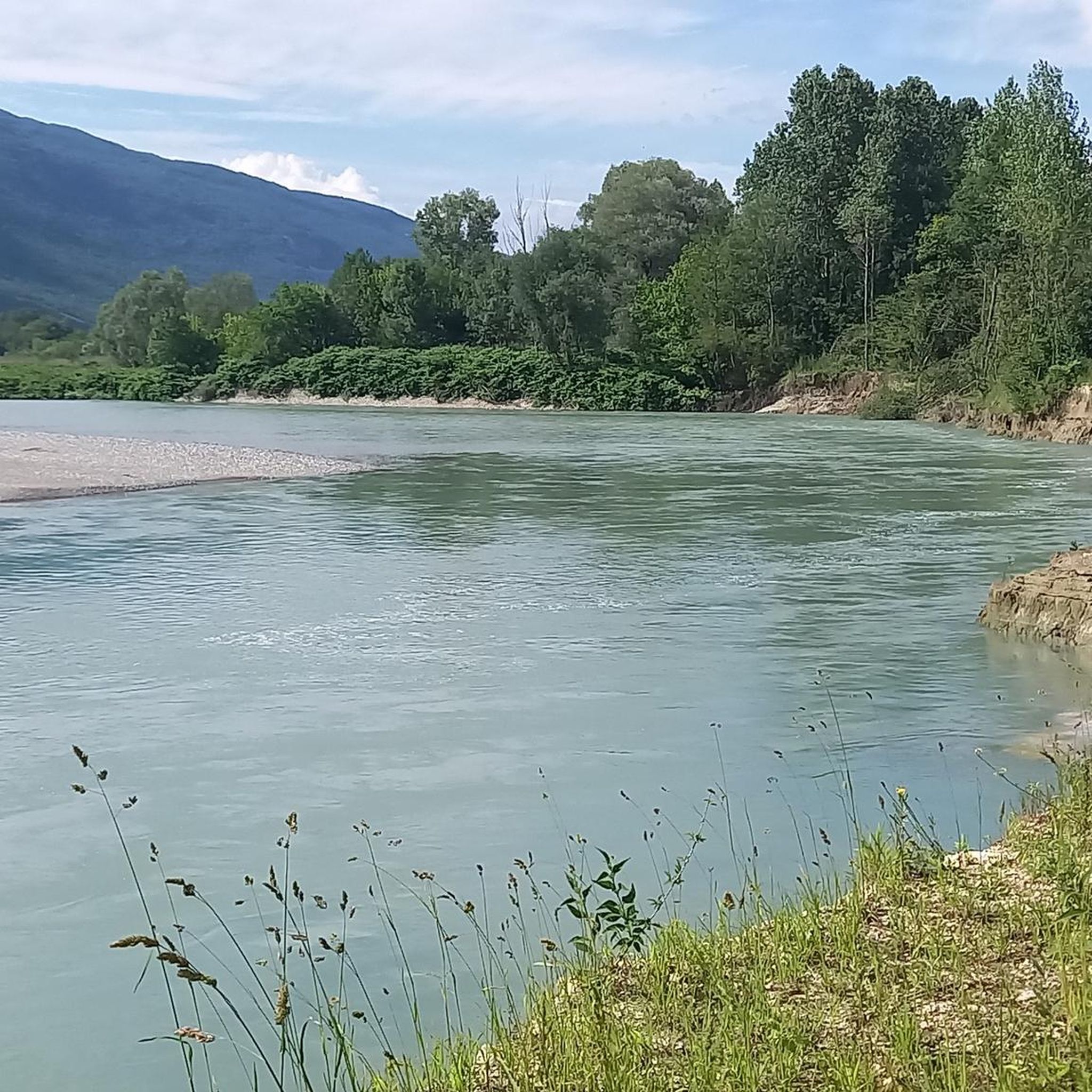
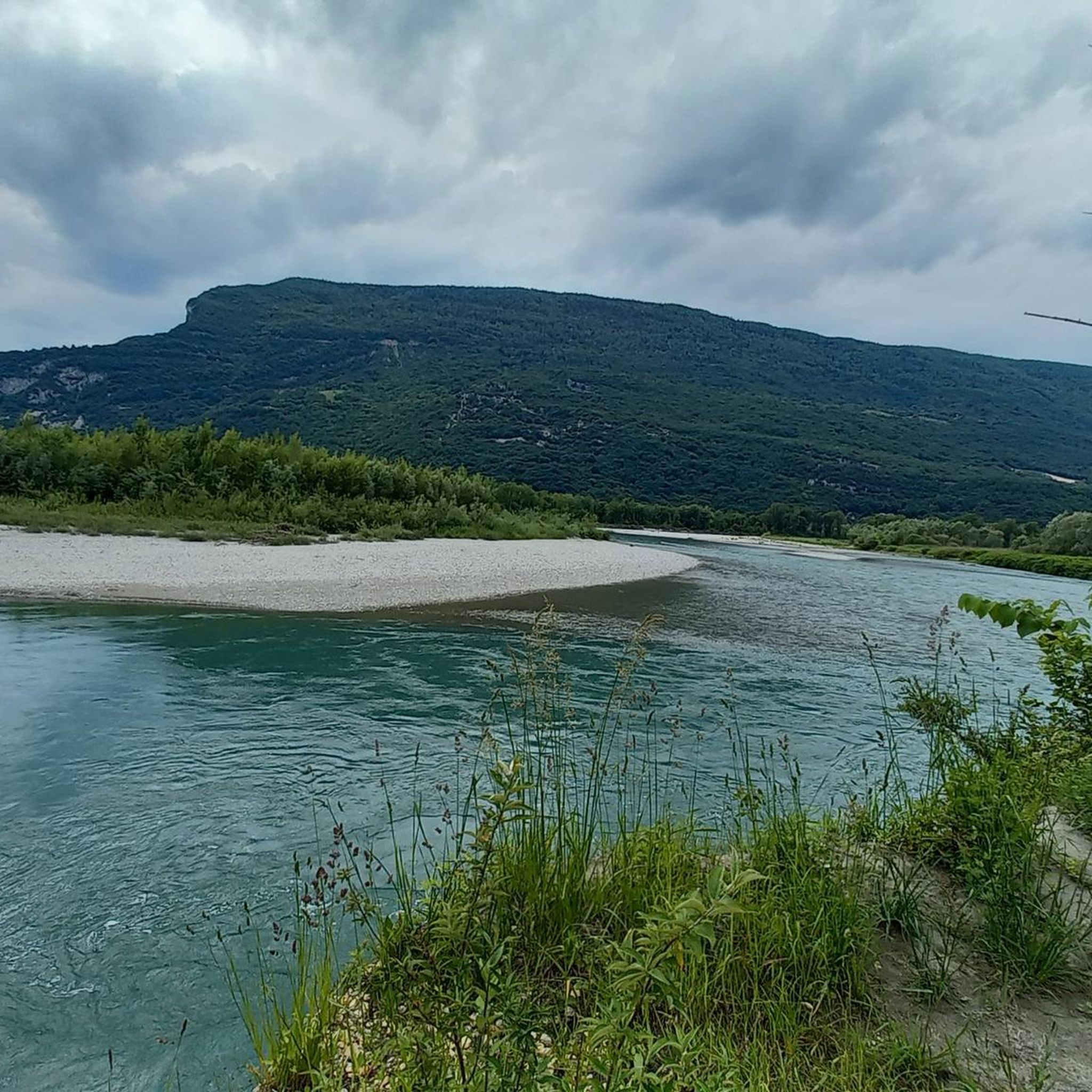
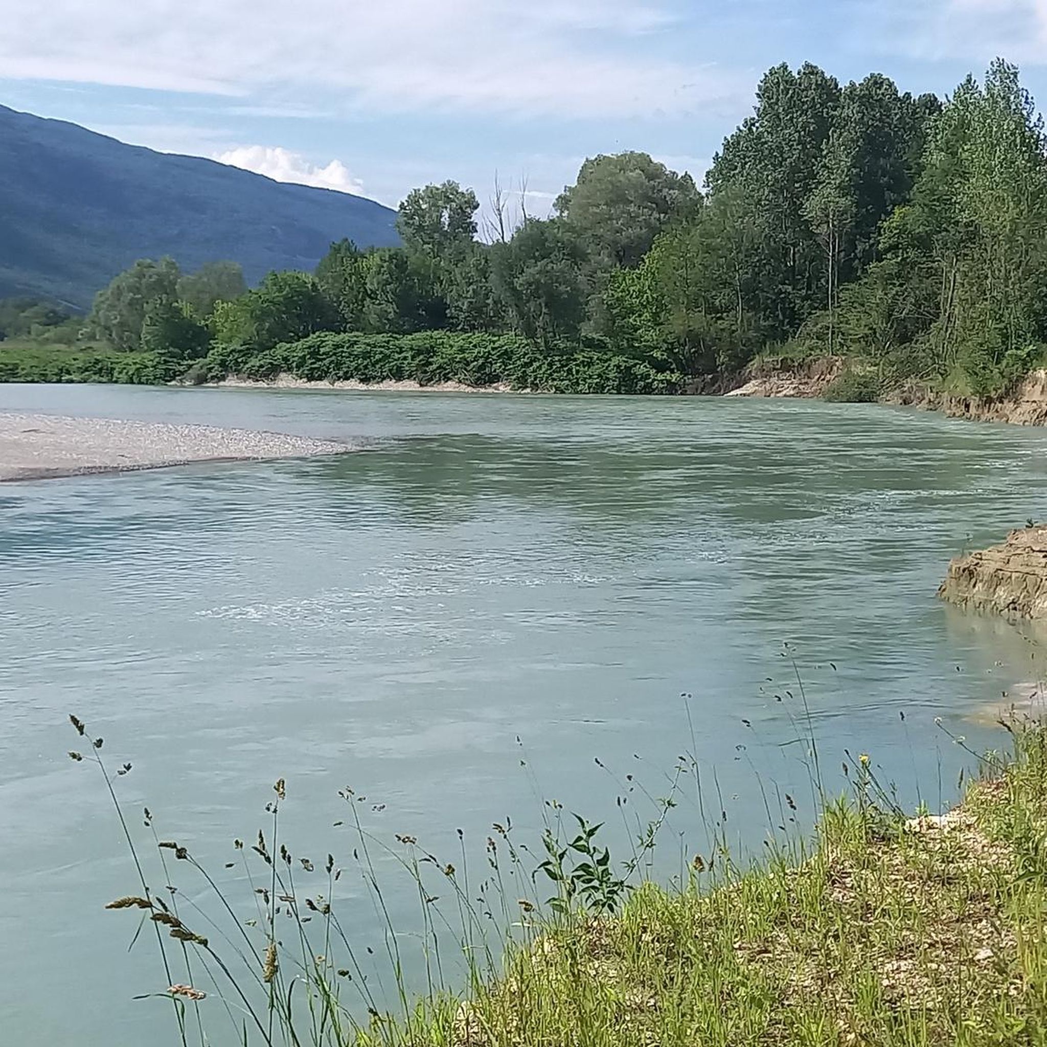
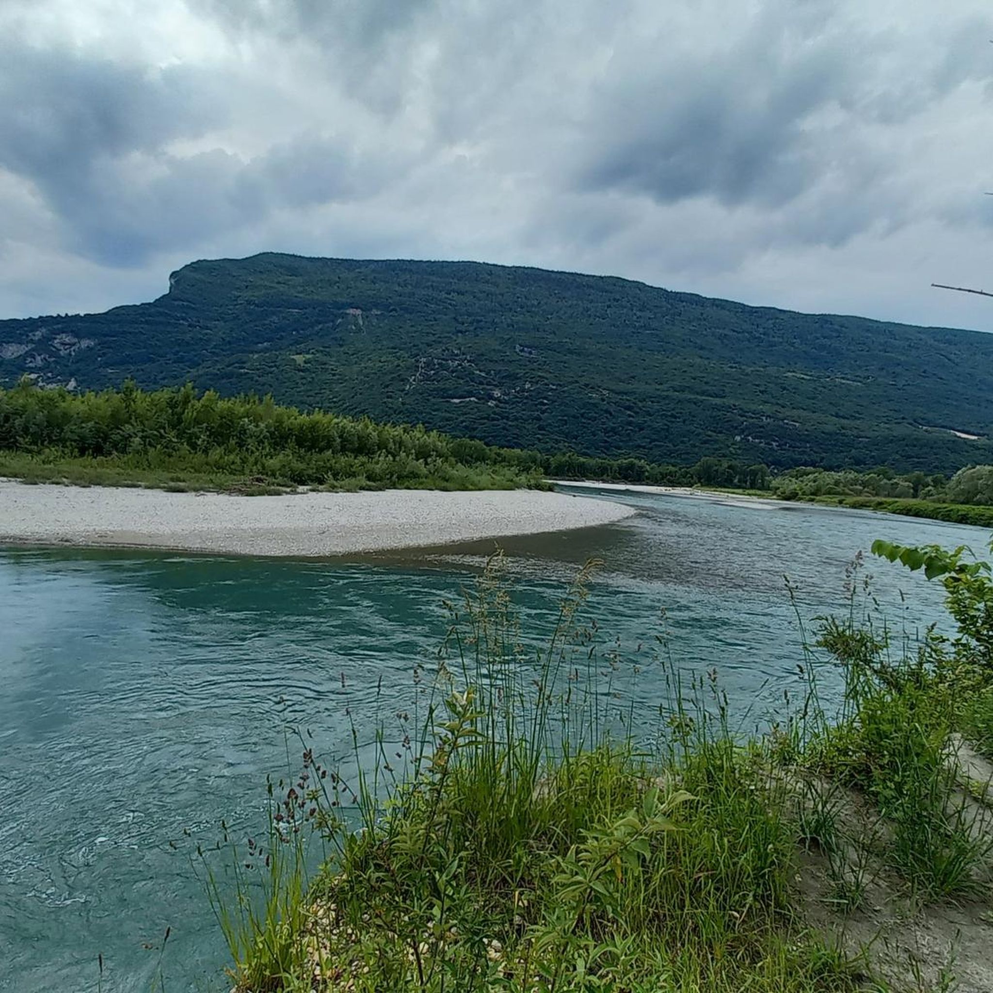
The region offers diverse views, from panoramic mountain vistas to serene river landscapes. Trails on Le Grand Colombier and Mont Clergeon provide spectacular 360-degree views of the Rhône, the Bauges, Aravis, and Mont-Blanc massifs. Routes along the Rhône River, like the Along the Rhône – Fier Bridge loop, offer elevated perspectives of hamlets, vineyards, and the river valley.
What are some notable landmarks or attractions to see near the hiking trails?
Beyond the natural beauty, you can explore several interesting landmarks. Consider visiting Chanaz – Savoy's Little Venice, known for its charming canals, or the historic Old bridge of Seyssel. The Savière Canal is also a picturesque spot to discover.
Are there any lakes or water bodies accessible near the hiking routes?
While Serrières-En-Chautagne itself has an artificial lake for recreation, the wider area offers access to several natural water bodies. You can find highlights like the Fier Sports and Nature Area or Lake Barterand, which can be incorporated into longer excursions or visited separately.
What do other hikers enjoy most about hiking in Serrières-En-Chautagne?
The area is highly rated by the komoot community, with an average score of 4.4 stars from over 500 reviews. Hikers often praise the diverse terrain, from challenging mountain trails with expansive vistas to serene forest walks with natural water features, and the scenic routes along the Rhône River.
What is the best time of year for hiking in Serrières-En-Chautagne?
The region is enjoyable for hiking across multiple seasons. Spring brings lush greenery and impressive waterfalls, while summer offers warm weather for higher mountain trails. Autumn provides beautiful foliage, and some lower-altitude trails can be accessible in winter, though conditions should always be checked for snow and ice.
Are there any long-distance hiking options in the area?
Yes, for those seeking a longer challenge, routes like the Along the Rhône – Fier Bridge loop from En Vache cover a significant distance of 29.6 km, typically taking around 7 hours 36 minutes to complete. This difficult trail explores the scenic Rhône River valley.
Can I find shaded trails for hot days?
Many trails, especially those on Mont Clergeon and in the Gros Foug area, pass through lush forested sections, providing welcome shade on warmer days. The Clergeon Ibservation Tower – Mont Clergeon loop from La Grande Cuve is primarily a forest hike, offering good cover.
Most popular routes around Serrières-En-Chautagne
Most popular attractions around Serrières-En-Chautagne

Get inspired with the komoot mobile app


Explore more
Browse the best Hikes in other regions.
