The best road cycling routes around Marigny-Saint-Marcel
4.5
(253)
8,659
riders
172
rides
Road cycling around Marigny-Saint-Marcel offers diverse terrain in the Albanais region, nestled in the foothills of the Alps. The area features a mix of gentle loops and challenging climbs, situated between the Bauges massif and the Rumilly basin. Cyclists can explore routes with views of Lake Annecy and Lake Bourget, as well as the confluence of the Chéran and Fier rivers. The landscape includes forests, alpine meadows, and notable mountain passes like Col de la Chambotte and Col du Semnoz.
…Last updated: July 5, 2026
4.8
(4)
129
riders
51.4km
02:32
800m
800m
Moderate road ride. Good fitness required. Mostly well-paved surfaces and easy to ride.
5.0
(2)
45
riders
76.8km
03:53
1,280m
1,280m
Hard road ride. Very good fitness required. Mostly well-paved surfaces and easy to ride.

Sign up for free
5.0
(2)
29
riders
31.7km
01:39
560m
550m
Moderate road ride. Good fitness required. Mostly well-paved surfaces and easy to ride.
5.0
(1)
19
riders
12.9km
00:37
100m
100m
Moderate road ride. Great for any fitness level. Some segments of this route may be unpaved and difficult to ride.
14
riders
Moderate road ride. Good fitness required. Mostly well-paved surfaces and easy to ride.
Get access to more routes and recommendations from other explorers.
Sign up for free
Already have an account?
Our route recommendations are based on thousands of hikes, rides, and runs completed by other people on komoot.
Start today with a free account
Your next adventure awaits.
Login or Signup
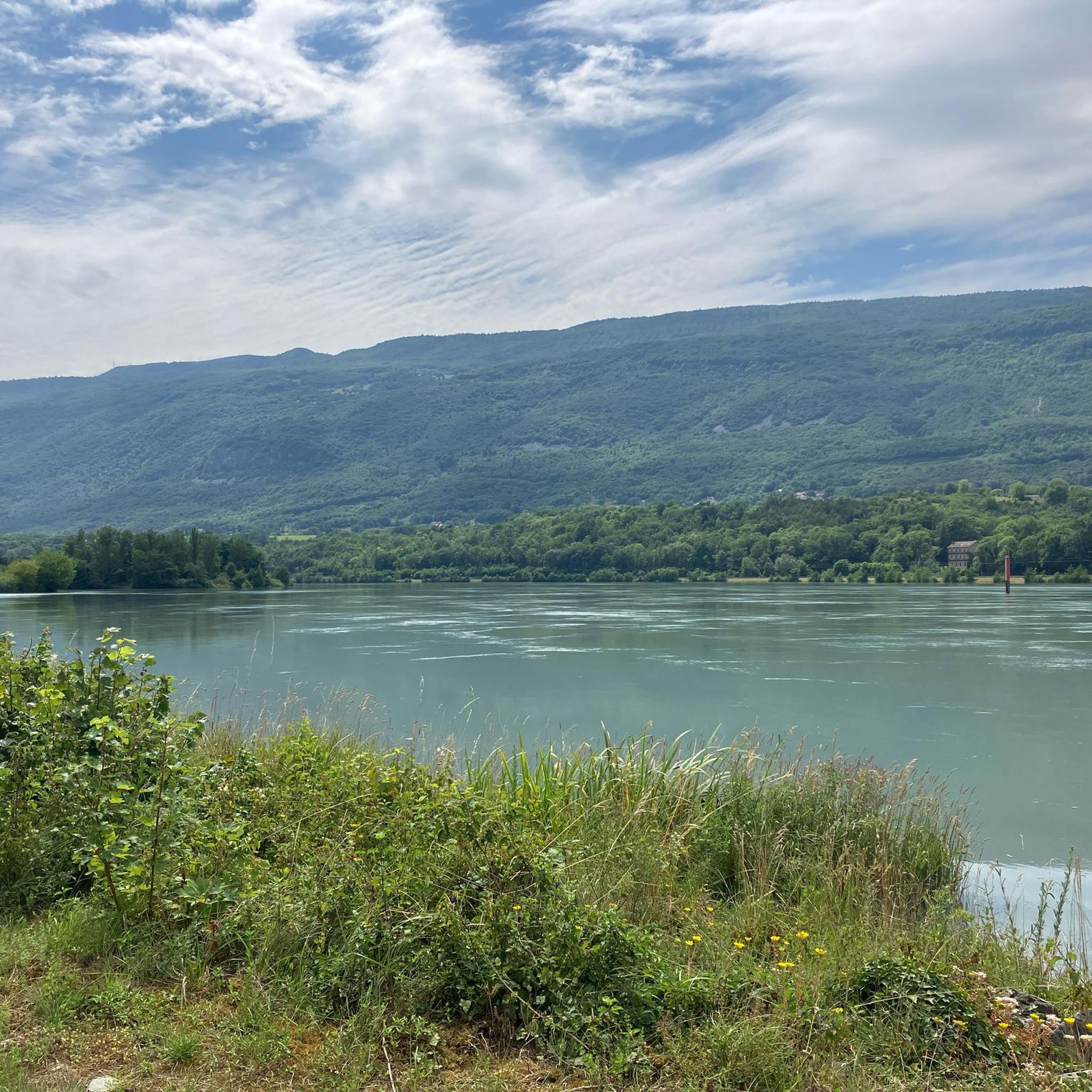

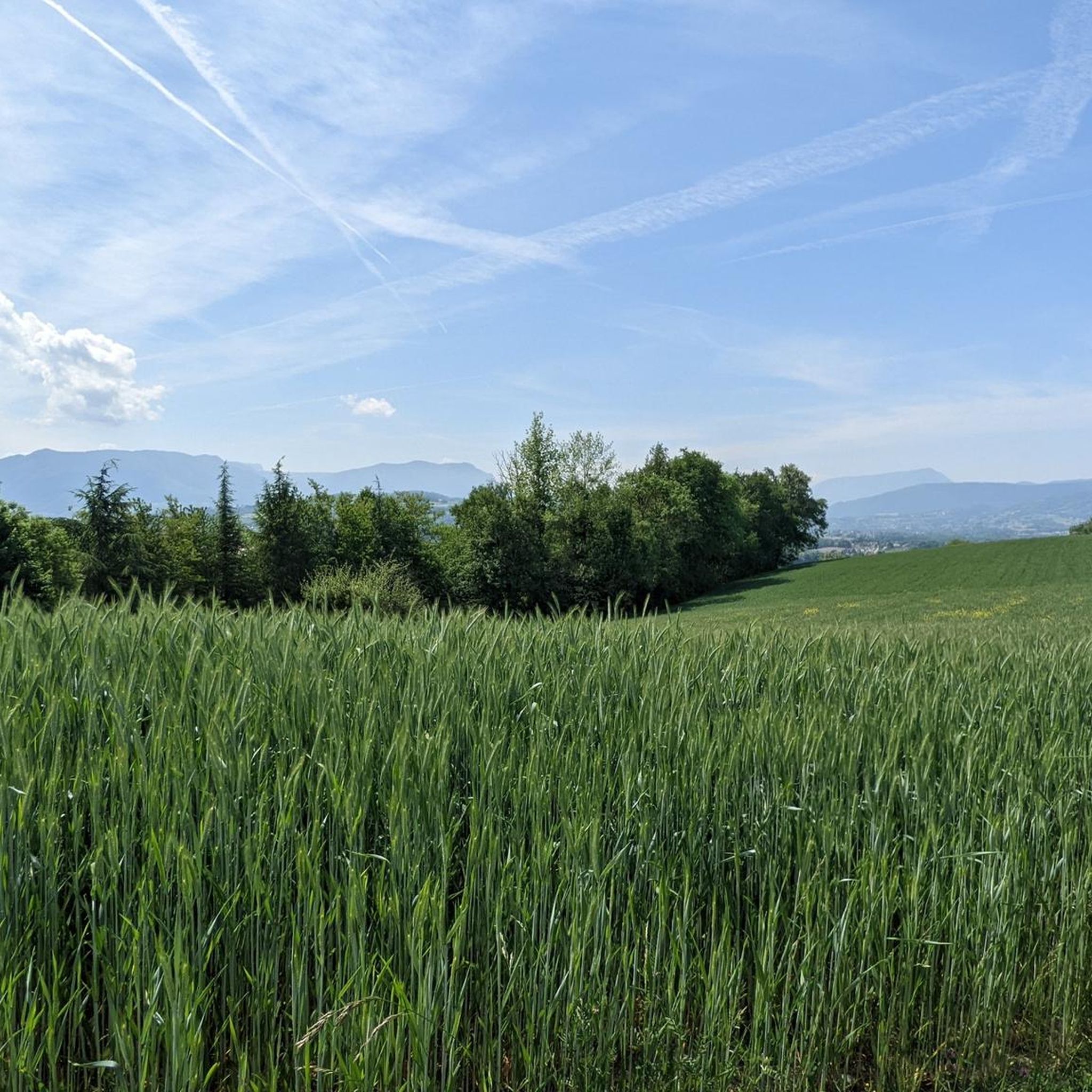


Tips from the Community

Pity, it would be sensible.
2
0
Small pass, quiet ascent via the D10. At the pass with a fountain.
2
0

Here is the route for the ascent of the Col du Frêne from École
1
0

Quiet little road to begin the ascent of the Col du Frêne. Very beautiful view.
0
0
Good road with not too many cars
0
0

Beautiful pass. The climb is a bit gentler from the north. The descent to the south offers beautiful views of the Isère Valley.
0
0
There is a new section of the Via Rhona between Motz and Serriere en Chautagne. It is well signposted towards Motz and then winds through fields and parallel to the main road without much guidance.
2
0
Frequently Asked Questions
How many road cycling routes are available around Marigny-Saint-Marcel?
There are over 170 road cycling routes in the Marigny-Saint-Marcel area, catering to various skill levels. This includes 16 easy routes, 106 moderate routes, and 50 challenging routes for experienced cyclists.
What kind of terrain can I expect when road cycling in Marigny-Saint-Marcel?
The terrain around Marigny-Saint-Marcel is quite diverse, ranging from gentle loops in the Albanais region to more challenging climbs in the foothills of the Alps. You'll find routes between the Bauges massif and the Rumilly basin, offering a mix of forests, alpine meadows, and notable mountain passes like the Col de la Chambotte and Col du Semnoz.
Are there any challenging climbs for experienced road cyclists near Marigny-Saint-Marcel?
Yes, the region offers several challenging climbs. The Jolie route d'Arith – Col du Frêne (950 m) loop from Héry-sur-Alby is a difficult 77.0 km path that includes the demanding Col du Frêne, known for significant elevation gain and expansive views. Another notable climb is the Col du Semnoz, which features shaded ascents and rewarding summit views.
What are some scenic viewpoints or natural features I can see along road cycling routes?
Road cycling routes in the area often provide picturesque panoramas of the Albanais region, the Semnoz mountain, and the mountains of Bange and Revard. You can also enjoy views of Lake Annecy and Lake Bourget. Specific highlights include the Col du Semnoz summit, the Fier Gorge, and the View from Croix du Chef-Lieu overlooking Lake Annecy.
Are there any road cycling routes that pass by lakes or offer lake views?
Absolutely. Marigny-Saint-Marcel is strategically located between Lake Annecy and Lake Bourget. Many routes offer stunning lake views, such as the View from Croix du Chef-Lieu overlooking Lake Annecy or a View of Lac du Bourget. The Plan d'eau de Rumilly loop from Saint-Félix also passes by the Plan d'eau de Rumilly.
What do other road cyclists say about the routes in Marigny-Saint-Marcel?
The road cycling routes in Marigny-Saint-Marcel are highly regarded by the komoot community, holding an average rating of 4.5 stars from over 180 reviews. Cyclists often praise the varied terrain, the stunning lake views, and the rewarding mountain passes.
Are there any moderate-difficulty road cycling routes suitable for a good workout?
Yes, a significant portion of the routes, 106 to be exact, are classified as moderate. A popular choice is the Leschaux Pass – Best coffee stop and bakery! loop from Héry-sur-Alby, a 51.4 km route that takes around 2 hours 32 minutes and is known for its scenic pass and a recommended coffee stop.
Can I find shorter road cycling loops around Marigny-Saint-Marcel?
Yes, there are several shorter loops. For example, the Montcel – Route du Chef-Lieu (D 211) loop from Héry-sur-Alby is a 31.7 km trail that can be completed in about 1 hour 38 minutes. Another option is the Route de Laplace – Route de Cessens loop from Rumilly, which is 23.1 km long.
What is the best time of year for road cycling in Marigny-Saint-Marcel?
Given its location in the foothills of the Alps, the spring, summer, and early autumn months generally offer the most favorable conditions for road cycling in Marigny-Saint-Marcel. During these seasons, you can expect pleasant temperatures and clear views, though higher mountain passes might still have snow early in spring or late in autumn.
Are there any cultural or historical sites visible from the road cycling routes?
While the primary focus is natural beauty, the region does have a rich built heritage. You might catch glimpses of structures like the remodelled Château de Saint-Marcel or the fortified house of Bel-Air, adding a cultural dimension to your ride.
Are there any specific routes that are good for a quick, easy ride?
For an easier and quicker ride, consider routes like the Plan d'eau de Rumilly loop from Saint-Félix. This moderate route is only 12.9 km long, making it suitable for a shorter outing while still enjoying the local scenery.
Most popular routes around Marigny-Saint-Marcel
Most popular attractions around Marigny-Saint-Marcel

Get inspired with the komoot mobile app


Explore more
Browse the best Road cycling routes in other regions.
