The best walks and hikes around Tonneins
4.0
(55)
258
hikers
41
hikes
Hiking around Tonneins features diverse landscapes, primarily shaped by the Garonne River and its surrounding rural areas. The region offers extensive riverside paths, providing opportunities for walks along the Garonne's banks. Beyond the river, the terrain transitions into agricultural lands characterized by fields of maize, rapeseed, and sunflowers, alongside hillsides and forests. This mix of riverine, agricultural, and elevated environments creates a varied backdrop for outdoor activities.
Best hiking trails around Tonneins
- The most popular hiking route is Picnic area…
Last updated: June 25, 2026
4.0
(1)
12
hikers
6.41km
01:50
150m
150m
Easy hike. Great for any fitness level. Easily-accessible paths. Suitable for all skill levels.
4.0
(1)
11
hikers
Moderate hike. Good fitness required. Easily-accessible paths. Suitable for all skill levels.

Sign up for free
4.0
(2)
12
hikers
Easy hike. Great for any fitness level. Easily-accessible paths. Suitable for all skill levels.
3.5
(2)
7
hikers
13.7km
03:51
280m
280m
Moderate hike. Good fitness required. Easily-accessible paths. Suitable for all skill levels.
3.3
(3)
7
hikers
5.03km
01:17
20m
20m
Easy hike. Great for any fitness level. Easily-accessible paths. Suitable for all skill levels.
Get access to more routes and recommendations from other explorers.
Sign up for free
Already have an account?
Our route recommendations are based on thousands of hikes, rides, and runs completed by other people on komoot.
Start today with a free account
Your next adventure awaits.
Login or Signup

Tips from the Community

The history of Clairac is inseparable from that of its Benedictine abbey, which was internationally renowned in the Middle Ages. The abbey, as well as the town which was formed around its walls, reached their peak in the 12th and 13th centuries. There were then 120 monks who worked both in the fields and as copyists of manuscripts. The abbot of Clairac was also the lord of the village and commanded two bastides, five priories and around fifty parishes. The monks also owned two mills on the Lot. The income generated by the abbey was then considerable. But the most important heritage is unexpected: the plum tree of Damascus, brought back from the crusades, was in fact "enté", that is to say grafted, by them for the 1st time. They also discovered the sun-drying process, inventing the Ente plum and the Agen prune in one fell swoop!
1
0
3 km south of the village of Grateloup, on a site overlooking the Garonne to the west and the Lot to the south, all that remains of the church of Saint-Gayrand are open-air ruins. Listed in the inventory of Historic Monuments, they testify to what was an impressive stone vessel, originally Romanesque (12th century) then Gothic (15th and 16th centuries). To see, the square bell tower with its stair tower which reveals the fortification of the church of Saint-Gayrand and if you have an observant eye, several sculptures of the Gothic portal which have survived the centuries, including a beautiful salamander, a Virgin with the Child and a Christ holding a globe.
0
0

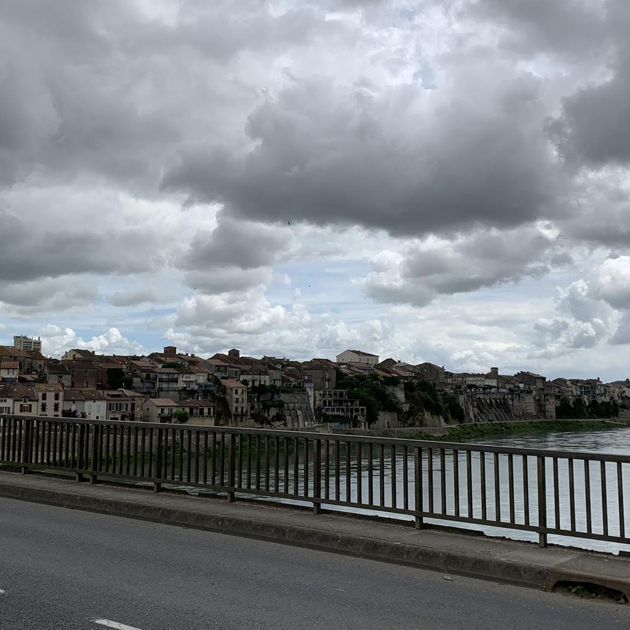
Like many small towns located along the Lot River, Clairac has its own beach. But it also boasts some of the region's most beautiful half-timbered houses, as well as the Saint-Pierre-ès-Liens church, known for its remarkable maître d'hôtel.
0
0

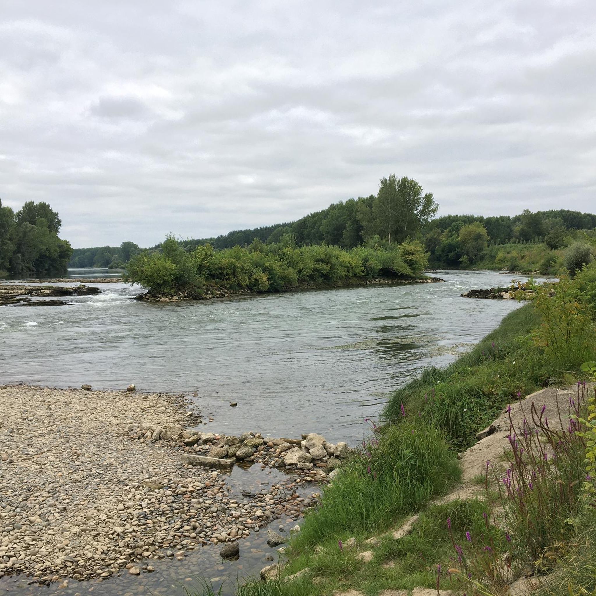
Confluence of the main rivers in department 47 .
0
1
High steep limestone formations
0
1
Ideal for a picnic with a beautiful view.
0
1
From its height of 170 m, the Pech-de-Bère stands out as the summit of this portion of the Garonne valley, easy to spot with the monumental cross which dominates it.
0
1
Frequently Asked Questions
How many hiking trails are available around Tonneins?
There are over 35 hiking routes in the Tonneins region, offering a variety of experiences for different skill levels and preferences.
What are the difficulty levels of hikes around Tonneins?
The hiking trails around Tonneins cater to various abilities. You'll find 21 easy routes, 16 moderate routes, and 1 difficult route, ensuring options for everyone from casual strollers to more experienced hikers.
Are there any easy, short hikes suitable for a quick outing?
Yes, for an easy and relatively short hike, consider the Château de Gontaud loop from Gontaud-de-Nogaret. This 4.2-mile (6.8 km) trail takes about 1 hour 52 minutes and leads through pleasant countryside.
Are there any circular walks around Tonneins?
Many routes in the Tonneins area are circular, allowing you to start and end at the same point. An example is the View of the Garonne River loop from Lagruère, which is an easy 3.1-mile (5 km) hike offering scenic views.
What kind of scenery can I expect on hikes around Tonneins?
Hikes around Tonneins are characterized by diverse landscapes. You'll encounter extensive riverside paths along the Garonne, as well as agricultural lands featuring fields of maize, rapeseed, and sunflowers. Some routes also offer views over the wider rural landscape.
What do other hikers enjoy most about hiking in Tonneins?
The area is highly rated by the komoot community, with an average score of 4.0 stars from over 40 reviews. Hikers often praise the varied terrain, from tranquil riverside strolls to routes through picturesque agricultural fields, and the options available for different ability levels.
Are there any interesting landmarks or attractions to see near the hiking trails?
Yes, the region offers several points of interest. You can explore the Canal Latéral à la Garonne, visit the Saint-Vincent Church in Le Mas-d’Agenais to see Rembrandt’s Christ on the Cross, or discover the Historic Center of Clairac.
What is the best season for hiking around Tonneins?
The Tonneins region, with its riverine and agricultural landscapes, is generally pleasant for hiking from spring through autumn. Spring offers blooming fields, while autumn provides comfortable temperatures and changing foliage. Summer can be warm, so early morning or late afternoon hikes are recommended.
Are there any longer, more challenging routes for experienced hikers?
For a moderate challenge, consider the Grateloup – Moulin de Grateloup loop from Grateloup-Saint-Gayrand. This route covers 8.5 miles (13.7 km) and involves more elevation gain, making it suitable for those looking for a longer trek.
Is public transport available to reach hiking trailheads near Tonneins?
While Tonneins itself has a train station, many trailheads in the surrounding rural areas may require a car for convenient access. It's advisable to check local bus schedules or consider carpooling for routes further afield.
Are there family-friendly hiking options in the Tonneins area?
Many of the easy routes along the Garonne River or through the agricultural fields are suitable for families. These paths often have gentle gradients and offer open spaces. The Picnic area at the summit – Cross of Pech-de-Bère loop from Nicole, an easy 4.0-mile (6.4 km) path, is a good option for a family outing.
What are the parking facilities like at Tonneins trailheads?
Parking availability varies by trailhead. In Tonneins and larger villages, you'll typically find public parking areas. For more rural starting points, roadside parking might be available, but it's always recommended to check the specific route details on komoot for parking suggestions.
Most popular attractions around Tonneins

Get inspired with the komoot mobile app


Explore more
Browse the best Hikes in other regions.
