The best walks and hikes around Verel-Pragondran
4.5
(467)
5,899
hikers
18
hikes
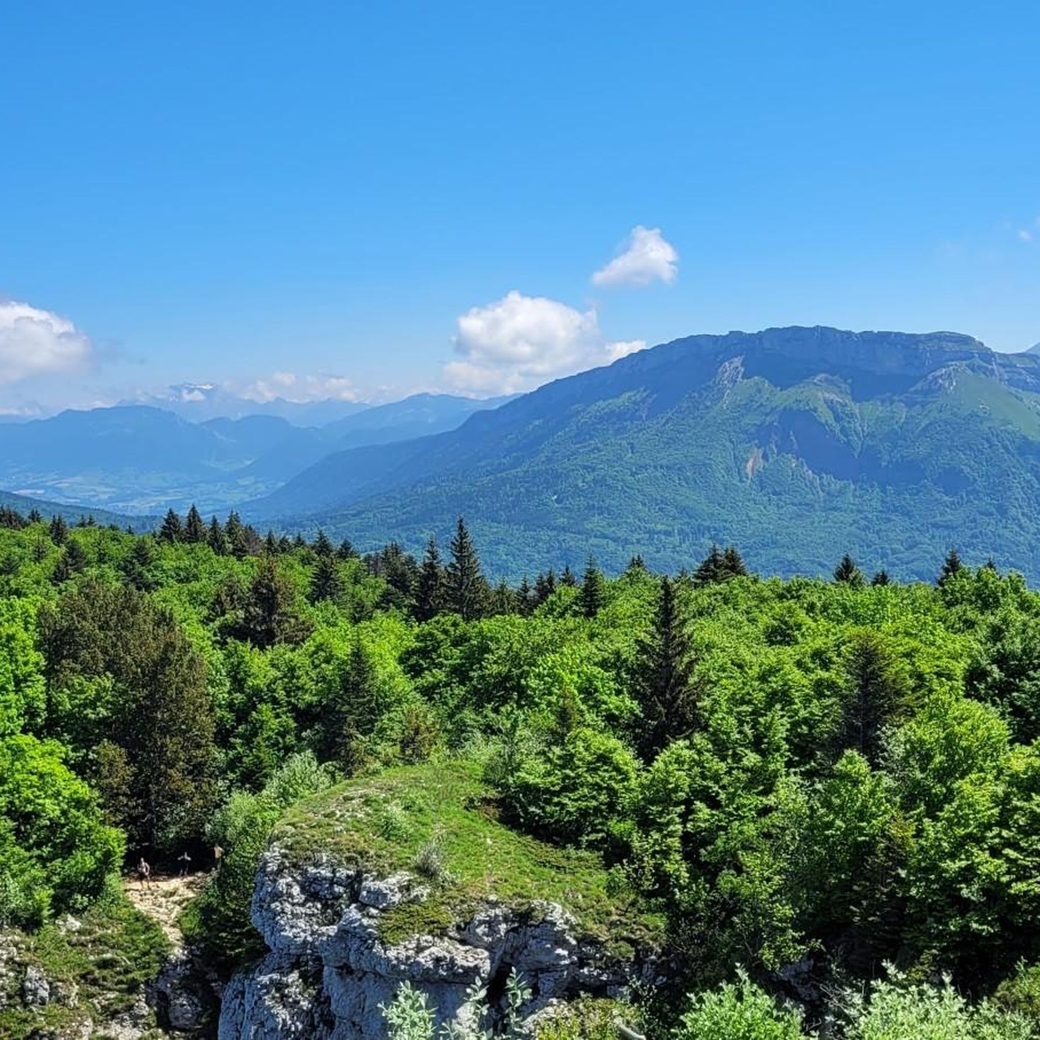
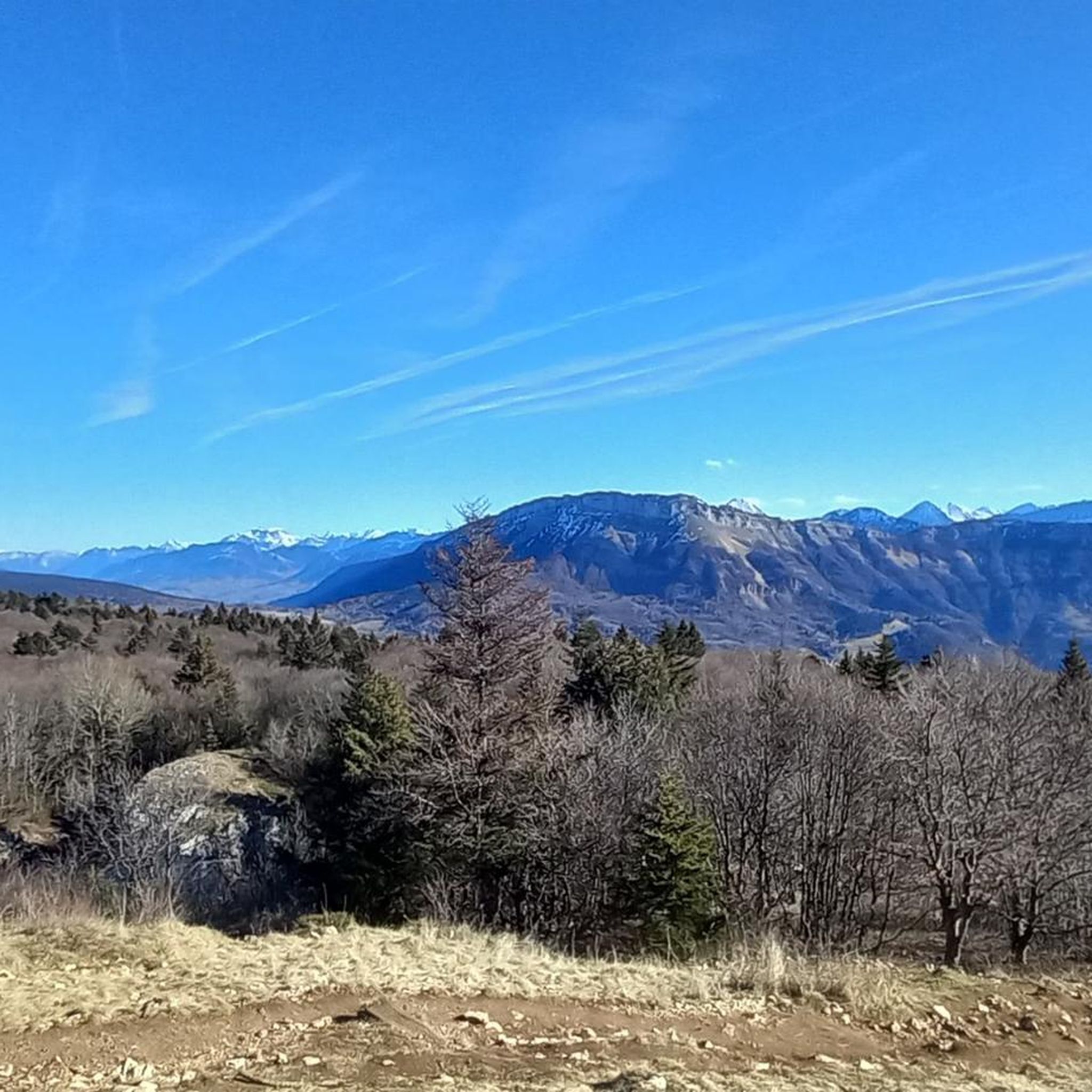
Hiking around Verel-Pragondran, located in the Savoie department of France near Chambéry, offers diverse terrain for outdoor activities. The region is characterized by a varied landscape with altitudes ranging from 432m to 1500m, featuring prominent mountain peaks, forests, and valleys. This area provides a network of trails suitable for various fitness levels, set against a backdrop of natural features.
Best hiking trails around Verel-Pragondran
- The most popular hiking route is Nivolet Cross – Mount Kamuniak loop from Chambéry, a…
Last updated: May 12, 2026
4.7
(89)
1,434
hikers
6.51km
01:54
180m
180m
Easy hike. Great for any fitness level. Easily-accessible paths. Suitable for all skill levels.
4.9
(17)
171
hikers
3.63km
01:09
160m
160m
Easy hike. Great for any fitness level. Easily-accessible paths. Suitable for all skill levels.

Sign up for free
4.2
(5)
66
hikers
13.7km
05:46
820m
820m
Hard hike. Very good fitness required. Sure-footedness, sturdy shoes and alpine experience required.
4.6
(9)
216
hikers
12.8km
05:08
780m
780m
Hard hike. Very good fitness required. Mostly accessible paths. Sure-footedness required.
4.5
(2)
32
hikers
7.86km
02:27
280m
280m
Moderate hike. Good fitness required. Easily-accessible paths. Suitable for all skill levels.
Get access to more routes and recommendations from other explorers.
Sign up for free
Already have an account?
Our route recommendations are based on thousands of hikes, rides, and runs completed by other people on komoot.
Start today with a free account
Your next adventure awaits.
Login or Signup

Tips from the Community

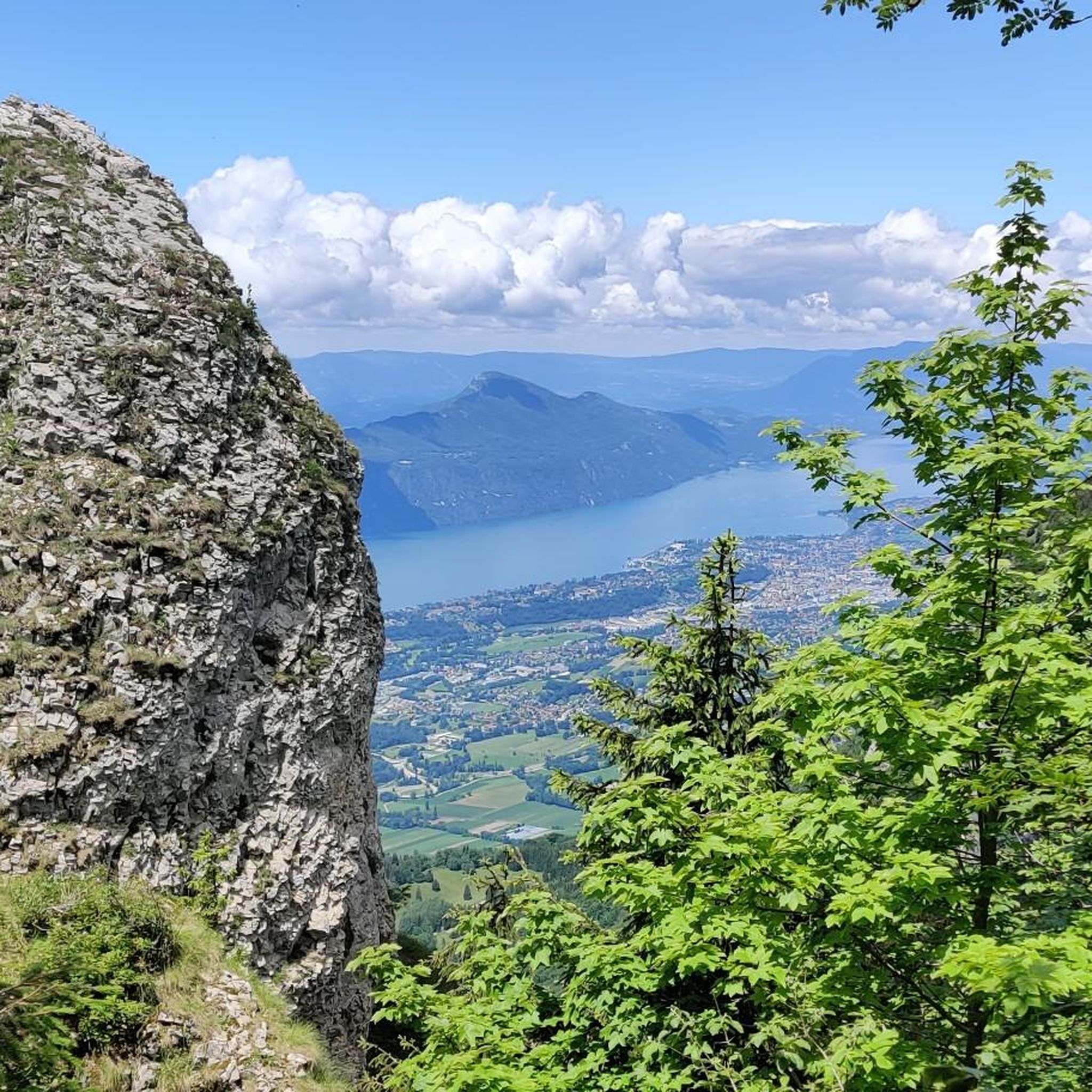
Magnificent view of Chambéry and Lake Bourget A lovely picnic area
0
0

Don't forget that even if it's in the mid-mountains, you need to be equipped for the weather, good shoes, and good physical condition.
0
0

A few meters off the path, a magnificent view opens up over the Lac du Bourget
0
0

The via ferrata of the Carret cave is rated extremely difficult (ED), it is worth the detour for its views, its apparatus and its overhangs. But beware, beginners should refrain!
0
0

Very nice viewpoint from a much lower altitude than that of Revard, which gives a different view of the landscape, less overhanging and closer to the Chambéry basin and the lake. The paragliding take-off area, a little further in the hike, is also a very pleasant place (equipped with a few benches!)
0
0

The place offers a superb view of the plain and Lake Bourget. In the background we can see the Dent du Chat as well as the Molard. This is the ideal spot for a little stop along the road. This passage is less frequented than La Sire located a little higher up.
0
0

The ascent is worth it: fantastic panorama and also an opportunity for a short rest with the opportunity to sit in a sociable group with the Lunerus😊 (it is somewhat reminiscent of "Number 5").
0
1
The beautiful and varied hiking trail to the summit cross alone is a pleasure, and once you reach the summit, you have a breathtaking panorama in all directions (Alps, Lac du Bourget, Chamberry, Aix-les-Bains, mountains and valleys). Highly recommended 😀👍!
0
1
Frequently Asked Questions
How many hiking trails are available around Verel-Pragondran?
There are nearly 20 hiking trails around Verel-Pragondran, offering a diverse range of options for different fitness levels. You'll find a good mix of easy, moderate, and difficult routes to explore the region's natural beauty.
Are there easy hiking trails suitable for families or beginners?
Yes, Verel-Pragondran offers several easy trails perfect for families and beginners. For instance, the Nivolet Cross – Mount Kamuniak loop from Chambéry is an easy 6.5 km route with manageable elevation. Another great option is the Vérel-Pragondran loop from Verel-Pragondran, a shorter 3.6 km path that explores the commune's immediate surroundings, often through forested areas.
Where can I find challenging hikes in the Verel-Pragondran area?
For experienced hikers seeking a challenge, the region provides several demanding routes. The Cascade de la Doriaz – Nivolet Cross loop from Chambéry is a difficult 13.7 km trail with significant elevation gain, leading through varied terrain including the impressive Cascade de la Doriaz. Another challenging option is the Mount Kamuniak – Nivolet Cross loop from Verel-Pragondran, which also demands very good fitness and alpine experience.
Are there any waterfalls to see on the hiking trails?
Yes, the region is home to beautiful waterfalls. The most notable is the Cascade de la Doriaz, known for its impressive 60-meter drop. You can experience it on routes like the Cascade de la Doriaz – Nivolet Cross loop from Chambéry. The Cascades du Nant du Pontet, featuring three successive cascades, are also within the broader area.
What kind of natural landmarks or viewpoints can I expect to see?
Verel-Pragondran offers stunning natural landmarks and panoramic viewpoints. Prominent peaks like the Nivolet Cross and Mount Kamuniak provide rewarding views. Many trails offer spectacular vistas, including views over Lac du Bourget, especially from viewpoints like the Orionde Viewpoint or the take-off area in Verel itself.
Are there circular hiking routes available around Verel-Pragondran?
Yes, many of the trails around Verel-Pragondran are designed as circular routes, allowing you to start and end at the same point. Examples include the easy Vérel-Pragondran loop from Verel-Pragondran and the more challenging Mount Kamuniak – Nivolet Cross loop from Verel-Pragondran.
What do other hikers enjoy most about hiking in Verel-Pragondran?
The area is highly rated by the komoot community, with an average score of 4.5 stars from over 400 reviews. Hikers often praise the diverse terrain, from accessible forest paths to challenging mountain ascents, and the stunning panoramic views, particularly towards the Croix du Nivolet and Lac du Bourget.
What is the best time of year to go hiking in Verel-Pragondran?
The best time for hiking in Verel-Pragondran is generally from spring to autumn, when the weather is mild and trails are clear. Summer offers lush landscapes, while autumn brings beautiful foliage. Some higher altitude trails might be accessible for winter hiking, but require appropriate gear and experience due to snow and ice conditions.
Are there any trails that offer views of Lac du Bourget?
Absolutely. Many trails in the Verel-Pragondran area provide spectacular views of Lac du Bourget. The region is known for its scenic viewpoints, and the paragliding take-off area in Verel itself offers a particularly beautiful vista over the lake.
Can I find trails that lead to mountain peaks or passes?
Yes, the region features prominent peaks and passes that are popular hiking destinations. Trails often lead to summits like the Nivolet Cross and Mount Kamuniak, offering rewarding views. The Épine Pass and Coche Pass are also notable points of interest.
Are there any moderate difficulty hikes available?
Yes, for those seeking a moderate challenge, there are several trails that require good fitness but are not as demanding as the most difficult routes. An example is the La Féclaz – La Féclaz loop from Chambéry, a 7.4 km route with around 290 meters of elevation gain, typically completed in about 2 hours 20 minutes.
Most popular routes around Verel-Pragondran
Most popular attractions around Verel-Pragondran

Get inspired with the komoot mobile app


Explore more
Browse the best Hikes in other regions.
