The best walks and hikes around Le Pont-De-Beauvoisin
4.4
(589)
3,503
hikers
134
hikes
Hiking around Le Pont-De-Beauvoisin offers diverse landscapes, from tranquil lake shores to forested hills. The region is characterized by waterways like Lac d'Aiguebelette and the Guiers river, alongside spruce forests and open areas providing views of the Dauphiné hills. Varied terrain includes easy loops with minimal elevation and moderate circuits with significant ascents. This blend of natural features makes it suitable for a range of outdoor activities.
Best hiking trails around Le Pont-De-Beauvoisin
- The most popular hiking route is Grenan…
Last updated: October 26, 2026
4.8
(12)
80
hikers
2.09km
00:43
110m
120m
Easy hike. Easily walkable paths.
4.6
(17)
66
hikers
8.01km
02:45
380m
380m
Moderate hike. Good fitness required. Mostly walkable paths. Sure-footedness required.

4.2
(11)
113
hikers
9.41km
02:45
270m
270m
Moderate hike. Good fitness required. Easily walkable paths.
5.0
(4)
27
hikers
4.73km
01:26
160m
160m
Easy hike. Easily walkable paths.
4.3
(7)
24
hikers
14.8km
04:23
450m
450m
Moderate hike. Good fitness required. Easily walkable paths.
Get access to more routes and recommendations from other explorers.
Already have an account?
Our route recommendations are based on thousands of hikes, rides, and runs completed by other people on komoot.
Start today with a free account
Your next adventure awaits.


Tips from the Community

Beautiful waterfall to complete with a walk around the Grenan. Nice elevation gain in sight
0
0

Free parking, picnic table, information board and toilets
0
0

A small observation deck at the top of the religious site. Unfortunately, the surrounding area would benefit from being cleared of trees to fully appreciate the view, as the panorama is limited by vegetation. It's best to visit in winter to be less bothered by the foliage.
0
0

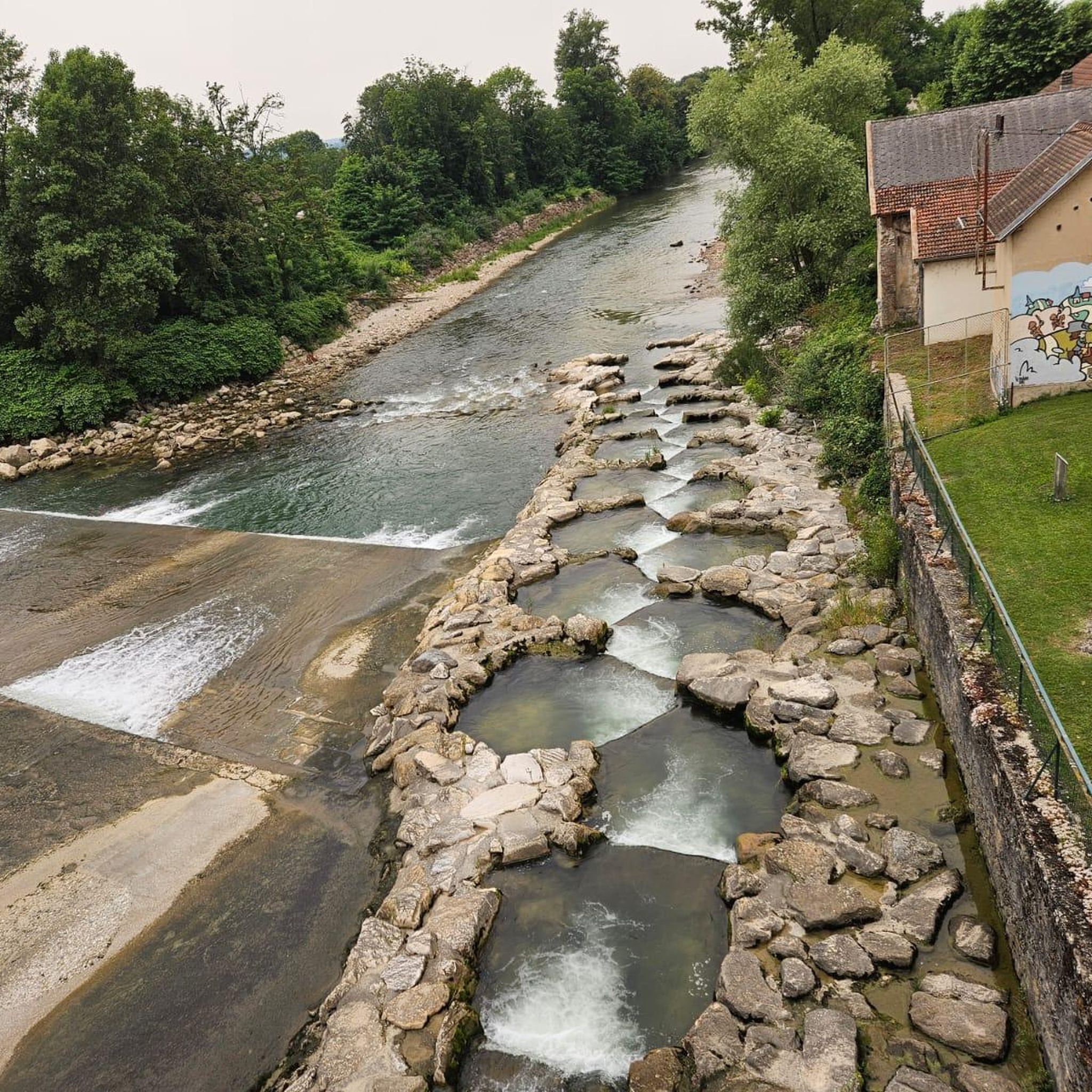
Just behind the waterfall, very pretty stone bridge
0
0

As you travel to the Grenant stream above La Bridoire, you will discover a hidden stream that winds through a lush and tranquil forest in the heart of the Chartreuse mountains. The area around the stream is teeming with wildlife and you will often see birds and other woodland creatures. As you listen to the soothing sound of flowing water, let your mind escape into nature.
2
0
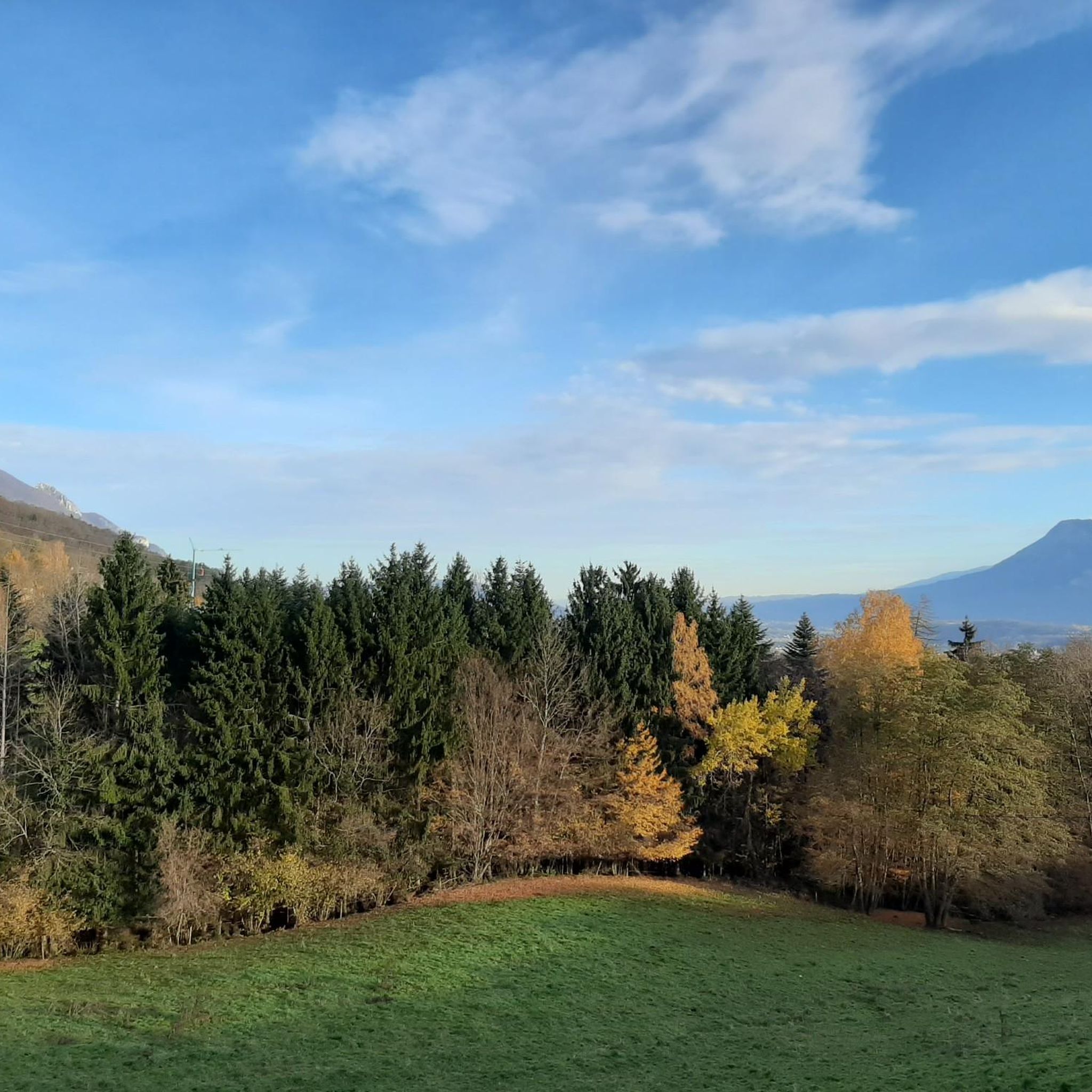
Green fields and rolling hills crowned by distant mountains.
2
0
A religious monument coupled with a magnificent observation platform. A must see.
2
0

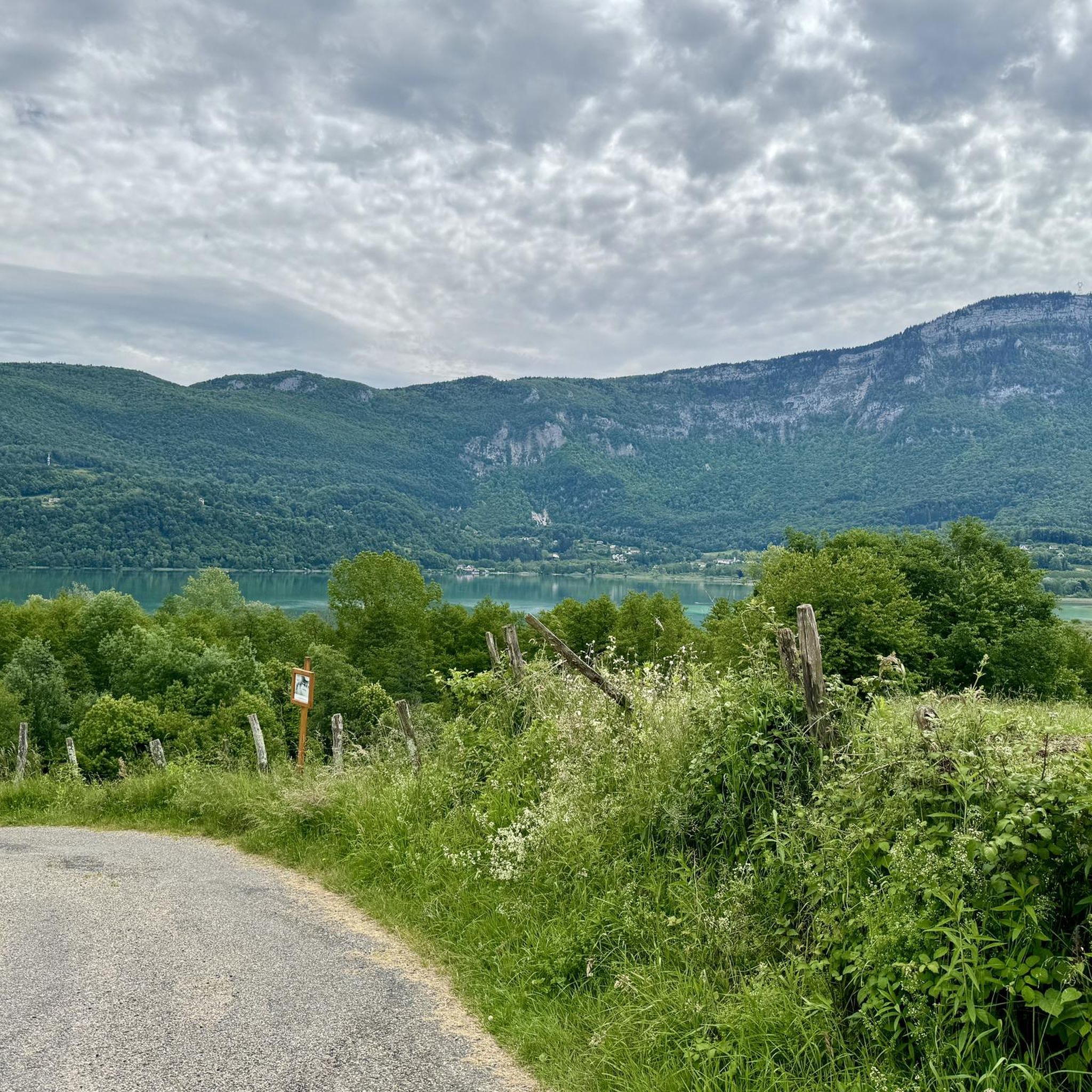
Very nice view over the valley.
0
0
Frequently Asked Questions
How many hiking trails are available around Le Pont-De-Beauvoisin?
There are over 120 hiking routes documented around Le Pont-De-Beauvoisin, catering to various skill levels. This includes 44 easy routes, 80 moderate routes, and 5 more challenging trails.
Are there any easy, short hikes suitable for a quick outing?
Yes, for a short and easy walk, consider the Grenan waterfall – Grenant Stream loop from La Bridoire. It's a 1.3-mile (2.1 km) trail that takes about 43 minutes to complete and features a beautiful waterfall and stream.
What kind of natural features can I expect to see on hikes in the region?
The region offers diverse natural beauty. You can explore trails that alternate between spruce forests and open areas, providing views of the Dauphiné hills and the Chartreuse massif. Many routes also feature waterways like the Guiers river and the nearby Lac d'Aiguebelette, known for its picturesque mountain and lake views.
Are there any hikes that feature waterfalls?
Absolutely. The Grenan waterfall – Grenant Stream loop from La Bridoire is a great option that specifically highlights a waterfall. Additionally, the Waterfalls of the Ruisseau de la Pissoire are another natural monument in the area worth exploring.
Are there any good circular walks in Le Pont-De-Beauvoisin?
Many of the trails in the area are designed as loops. For a moderate circular walk, the La Pierre a Coppet – Dullin Church loop from La Bridoire is a popular 5.8-mile (9.4 km) path offering scenic countryside views. Another easy loop is the Viewpoint – Sacré Coeur Monument loop from Saint-Martin-de-Vaulserre, which leads through forested areas to a viewpoint.
What do other hikers say about the trails in Le Pont-De-Beauvoisin?
The hiking routes around Le Pont-De-Beauvoisin are highly regarded by the komoot community, with an average rating of 4.5 stars from over 400 reviews. Hikers often praise the varied terrain, from tranquil lake shores to forested hillsides, and the panoramic views of the surrounding massifs.
Are there any viewpoints or scenic spots along the trails?
Yes, several trails lead to scenic viewpoints. The Viewpoint – Sacré Coeur Monument loop from Saint-Martin-de-Vaulserre is specifically designed to take you to a rewarding viewpoint. You can also find stunning views of the Rhône from the Belvédère du Site des Fils.
What is the best time of year to go hiking in Le Pont-De-Beauvoisin?
The region is enjoyable for hiking throughout much of the year. Spring and autumn offer pleasant temperatures and vibrant scenery, while summer is ideal for combining hikes with water activities at Lac d'Aiguebelette or along the Guiers river. Even in winter, some trails remain accessible, offering a different, serene experience.
Are there any longer, more challenging hikes for experienced hikers?
For those seeking a longer and more challenging experience, the Dullin Church – Grand Bic Viewpoint loop from La Bridoire is a moderate 9.2-mile (14.8 km) route with significant elevation gain, offering expansive views. There are 5 difficult routes in total for experienced hikers.
Can I find trails that are suitable for families with children?
Many of the easy and moderate trails are suitable for families. The region offers easy loops with minimal elevation gain, perfect for leisurely walks. The Grenan waterfall – Grenant Stream loop from La Bridoire, with its short distance and waterfall feature, is often a hit with children.
Are there any specific landmarks or points of interest to look out for?
Beyond natural features, you might encounter historical elements like the Restored Washhouse. The Viewpoint – Sacré Coeur Monument loop from Saint-Martin-de-Vaulserre also leads to a notable monument. The area around Lac d'Aiguebelette is also a significant point of interest.
What kind of terrain can I expect on the hiking trails?
The terrain around Le Pont-De-Beauvoisin is quite varied. You'll find trails ranging from hard gravel paths, like the Chemin des Marais in the Paladru Nature Zone, to paths winding through spruce forests and open fields. Some routes feature gentle slopes, while others include significant ascents and descents, providing a diverse hiking experience.
Most popular routes around Le Pont-De-Beauvoisin
Most popular attractions around Le Pont-De-Beauvoisin

Get inspired with the komoot mobile app


Explore more
Browse the best Hikes in other regions.
