Saint-Martin-De-Queyrières
Saint-Martin-De-Queyrières
The best running trails around Saint-Martin-De-Queyrières
4.4
(49)
3,725
runners
13
runs
Jogging around Saint-Martin-De-Queyrières offers diverse landscapes, from the Durance River valley to elevated mountain hamlets. The region, situated at the junction of the Serre Chevalier and Vallouise valleys, features varied terrains suitable for running. Runners can explore routes along the Durance Gorges, through larch forests, and ascend to ridges offering views of the Écrins massif. This area provides an extensive network of trails for various running preferences.
Best jogging routes around Saint-Martin-De-Queyrières
- The most popular jogging route is Beautiful Singletrack…
Last updated: July 15, 2026
27
runners
23.0km
04:24
1,700m
1,700m
Hard run. Very good fitness required. Sure-footedness, sturdy shoes and alpine experience required.
20
runners
10.2km
01:14
300m
300m
Hard run. Very good fitness required. Mostly paved surfaces. Suitable for all skill levels.

Sign up for free
9
runners
4.53km
00:31
80m
80m
Easy run. Great for any fitness level. Mostly paved surfaces. Suitable for all skill levels.
8
runners
11.7km
02:36
1,270m
1,270m
Hard run. Very good fitness required. Mostly accessible paths. Some sure footedness required.
8
runners
7.86km
01:21
530m
530m
Hard run. Very good fitness required. Sure-footedness, sturdy shoes and alpine experience required.
Get access to more routes and recommendations from other explorers.
Sign up for free
Already have an account?
Our route recommendations are based on thousands of hikes, rides, and runs completed by other people on komoot.
Start today with a free account
Your next adventure awaits.
Login or Signup
Popular around Saint-Martin-De-Queyrières
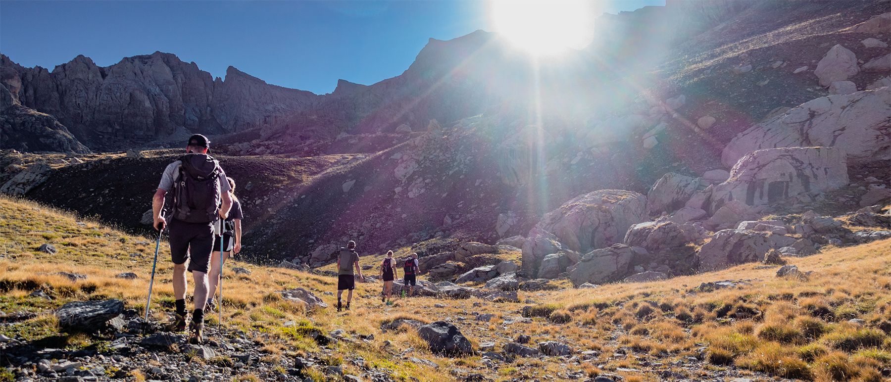
Écrins National Park and more – hikes in and around Puy Saint Vincent
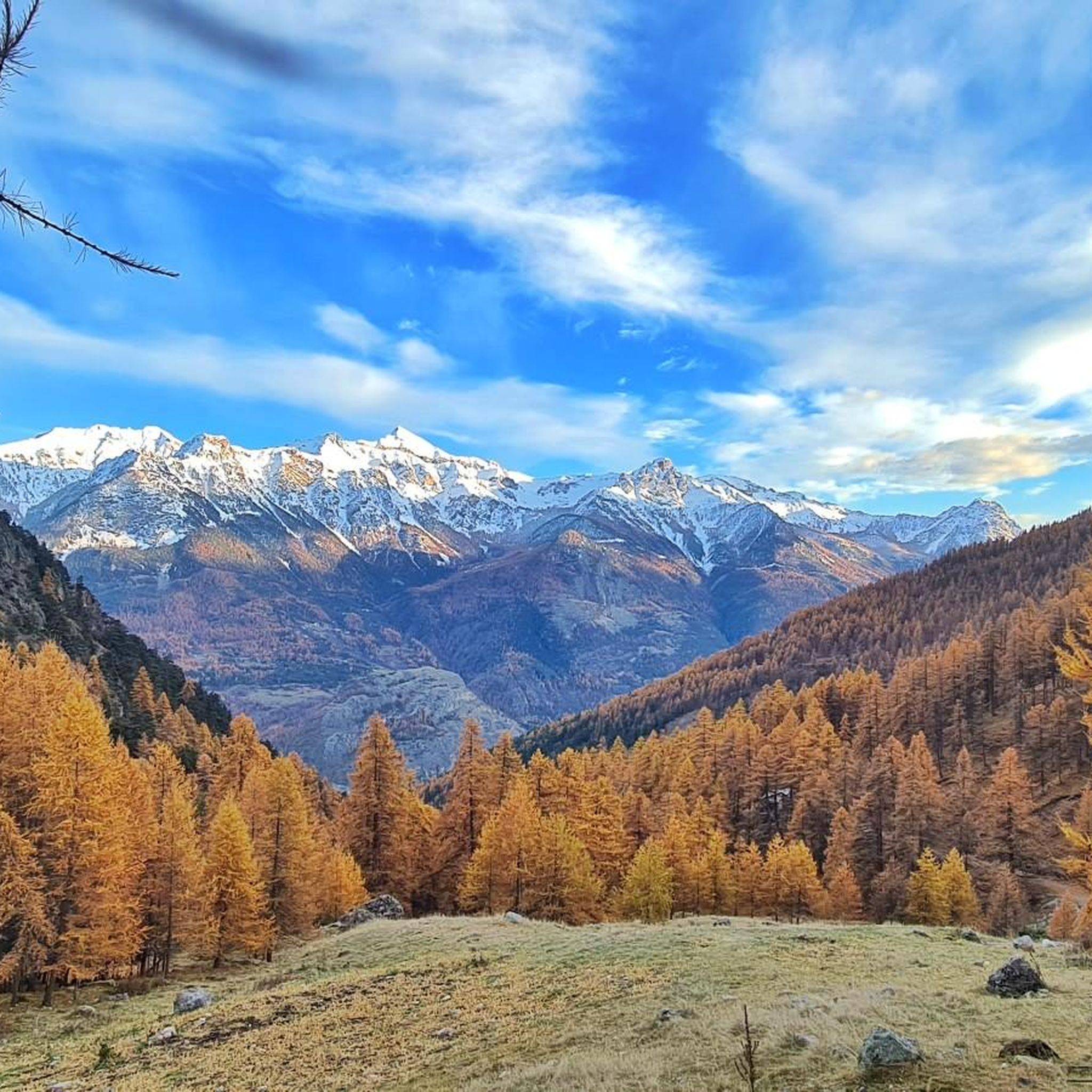
Road Cycling Routes around Saint-Martin-De-Queyrières
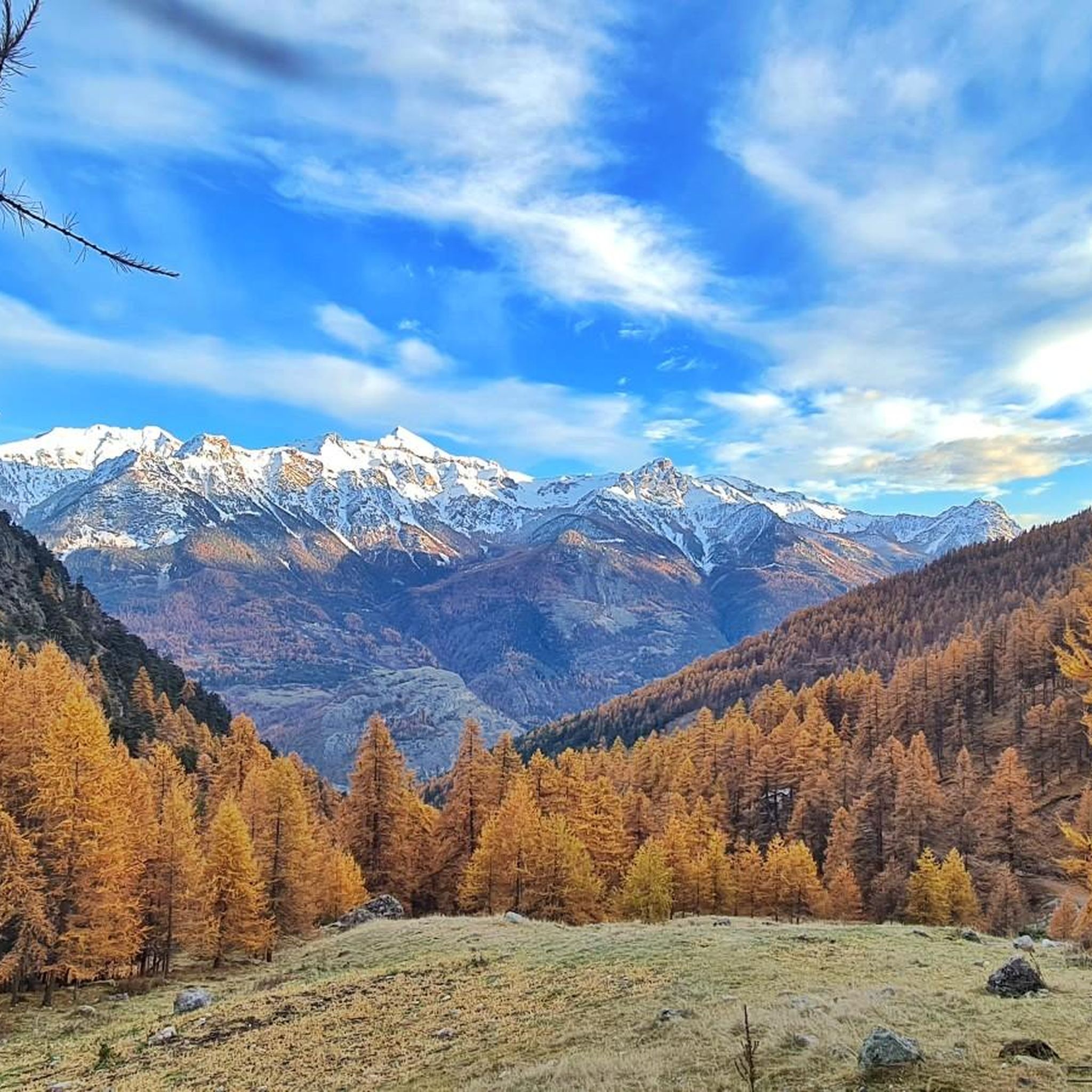
Cycling around Saint-Martin-De-Queyrières
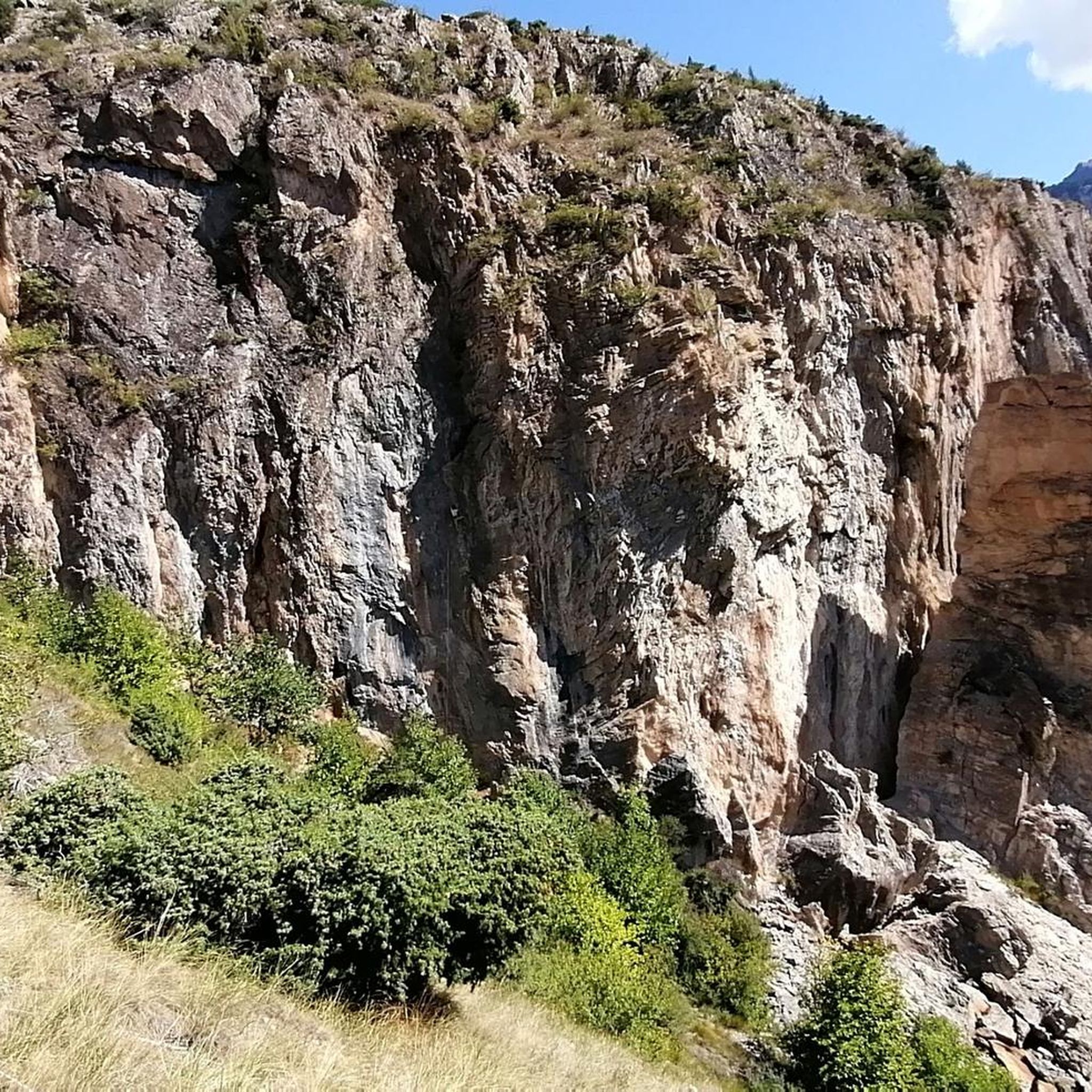
MTB Trails around Saint-Martin-De-Queyrières

Gravel biking around Saint-Martin-De-Queyrières
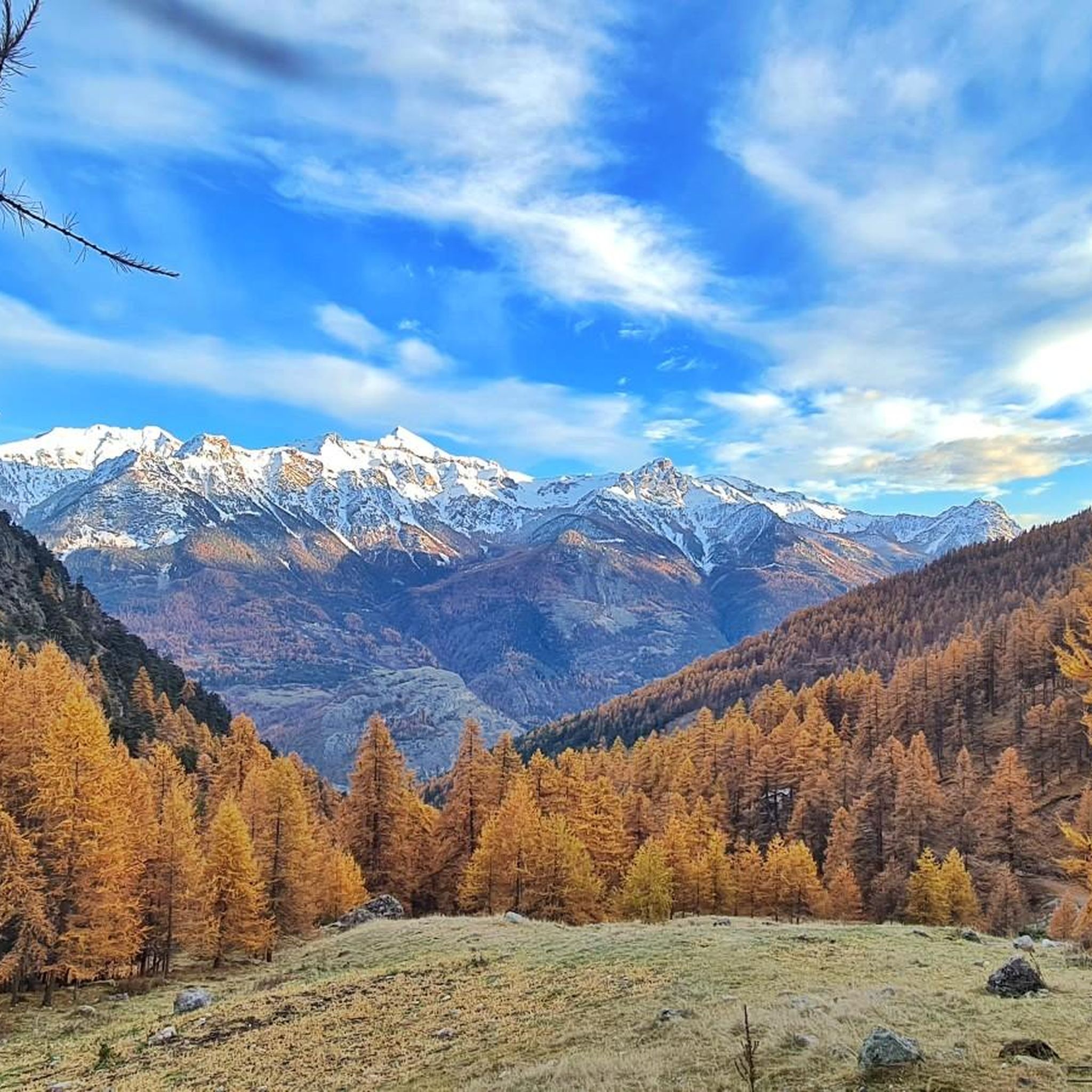
Hiking around Saint-Martin-De-Queyrières
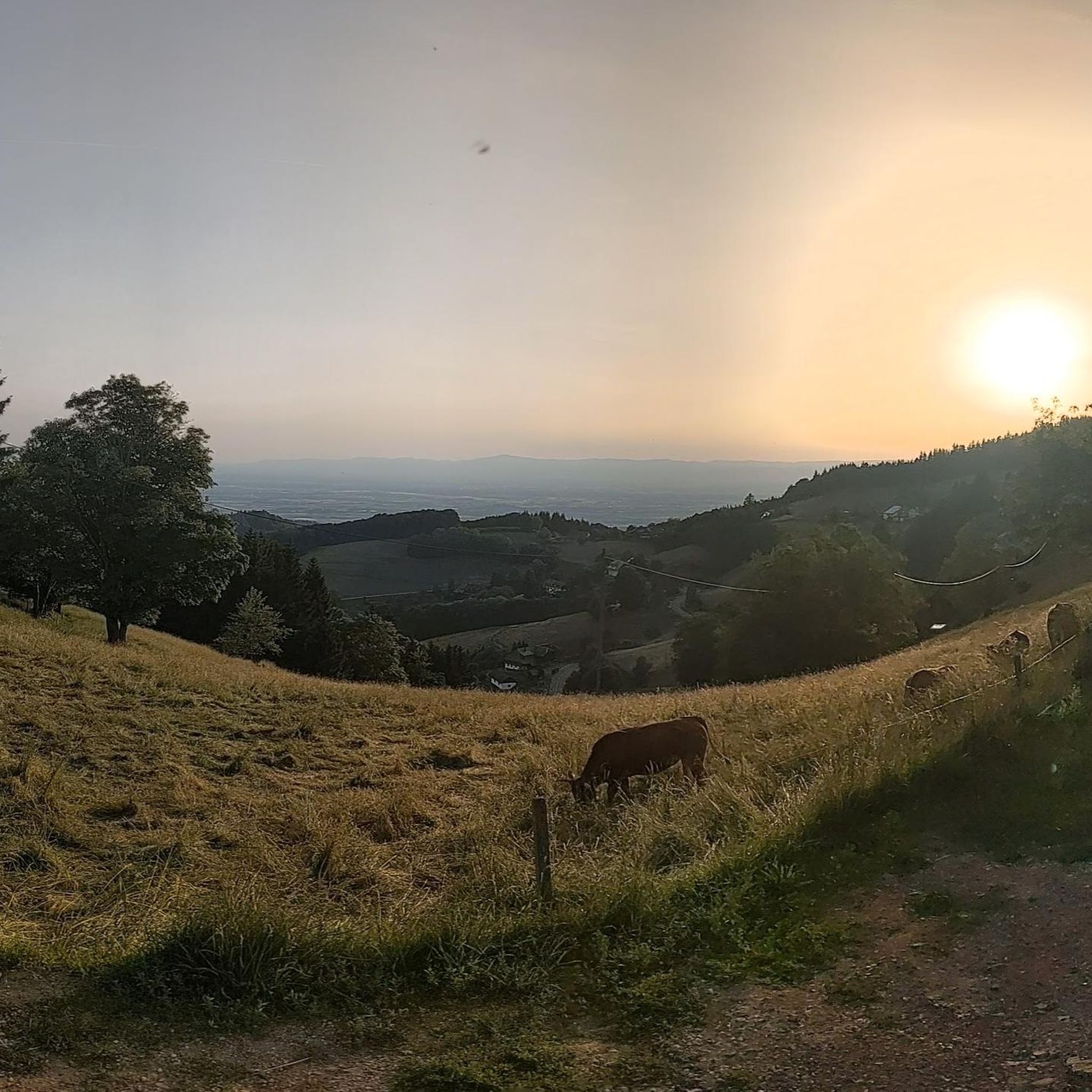
Mountain Hikes around Saint-Martin-De-Queyrières
Other adventures around Saint-Martin-De-Queyrières

Tips from the Community

Bouchier is a small, remote village tucked away in the mountains, offering a glimpse into how life in the mountains once was. After a landslide and rockfall, it was abandoned for over a century, until a few people returned in the mid-1950s. Passing through Bouchier feels like stepping back in time. A small fountain can still be found in its narrow streets.
0
0

Very steep but great landscapes. Be careful of the scree on the descent. You need good shoes!
0
0

Beautiful viewpoint over the valley of the Durance at 2331 meters.
0
0
Frequently Asked Questions
How many running routes are available in Saint-Martin-De-Queyrières?
There are over 15 dedicated running routes around Saint-Martin-De-Queyrières, offering a variety of distances and difficulties. The komoot community has explored these trails over 3,800 times, highlighting the region's popularity for runners.
What kind of terrain can I expect on the running trails around Saint-Martin-De-Queyrières?
The terrain is quite diverse, ranging from relatively flat paths along the Durance River valley to challenging ascents through larch forests and up to mountain ridges. You'll find a mix of singletrack, forest paths, and trails offering panoramic views of the Écrins massif.
What do other runners appreciate most about the trails in Saint-Martin-De-Queyrières?
The running routes in Saint-Martin-De-Queyrières are highly rated by the komoot community, with an average score of 4.5 stars from over 50 reviews. Runners often praise the stunning views, the varied terrain that keeps runs interesting, and the extensive network of trails suitable for different fitness levels.
Are there any easy running routes suitable for beginners or a relaxed jog?
Yes, for those seeking a more relaxed experience, the area offers easy routes. For example, the Running loop from Le Villaret is an easy 2.8 miles (4.5 km) path with minimal elevation gain, perfect for a quicker or gentler run through the valley.
Can I find challenging trail running routes with significant elevation gain?
Absolutely. Saint-Martin-De-Queyrières is known for its challenging trail running options. Routes like the Beautiful Singletrack loop from Saint-Martin-de-Queyrières cover 13.9 miles (22.4 km) with nearly 1,500 meters of elevation gain, providing a rigorous workout through varied mountain terrain.
Are there any circular running routes in the area?
Many of the running routes in Saint-Martin-De-Queyrières are circular, allowing you to start and finish in the same location. Examples include the Croix de la Salcette loop from Saint-Martin-de-Queyrières and the Tête du Puy loop from Sainte-Marguerite, which offer diverse landscapes and challenges.
What natural features or scenic views can I expect to see while running?
You'll encounter breathtaking scenery, including the picturesque Durance Gorges, expansive larch forests, and stunning panoramic views of the Écrins massif from elevated points. The region's diverse landscape ensures a visually rewarding experience on every run.
Are there any historical or cultural points of interest along the running paths?
Yes, the region offers a blend of natural beauty and history. You can explore charming mountain hamlets like Queyrières, Prelles, and Bouchier. Additionally, the 'Routes des Espagnols' is a memorial trail that offers a unique historical immersion while you run. Nearby, you might also encounter landmarks such as Pont d'Asfeld or the historic town of Briançon.
What is the best time of year to go running in Saint-Martin-De-Queyrières?
The spring, summer, and autumn months generally offer the most favorable conditions for running, with pleasant temperatures and accessible trails. While winter activities like snowshoeing are popular, some higher elevation trails may be covered in snow, making them more suitable for winter sports than running.
Are there any family-friendly running options in the area?
While many routes offer a challenge, some of the easier, flatter sections along the Durance valley are suitable for families looking for a gentle jog or walk. Always check the route's difficulty and length to ensure it matches your family's capabilities.
Can I bring my dog on the running trails?
Many trails in the Hautes-Alpes region are dog-friendly, but it's always advisable to keep your dog on a leash, especially in nature reserves or areas with livestock. Be sure to check specific signage at trailheads for any local regulations regarding dogs.
Are there any specific permits required for running on these trails?
Generally, no specific permits are required for jogging on the established trails around Saint-Martin-De-Queyrières. However, if you plan to venture into specific protected areas or national parks, it's always wise to check for any particular regulations or access requirements beforehand.
Where can I find parking near the trailheads?
Many of the mountain hamlets and starting points for trails, such as Saint-Martin-de-Queyrières village itself or Le Villaret, offer designated parking areas. It's recommended to check the specific route details on komoot for information on parking availability at the trailhead you plan to use.
Most popular routes around Saint-Martin-De-Queyrières
Most popular attractions around Saint-Martin-De-Queyrières

Get inspired with the komoot mobile app


Explore more
Browse the best Running Trails & Routes in other regions.
