The best mountain hikes around Cran-Gevrier
4.4
(34)
180
hikers
13
hikes
Mountaineering routes around Cran-Gevrier offer access to the diverse and rugged landscapes of the Haute-Savoie department in the Rhône-Alpes region. While Cran-Gevrier itself is at a lower altitude, its strategic location provides a gateway to the pre-Alps and the greater Alpine range. The area is characterized by high mountain ranges, offering varied terrain for ascents and explorations. This region is renowned for its significant appeal to mountain sports enthusiasts.
Best mountaineering routes around Cran-Gevrier
- The most popular mountaineering route is…
Last updated: October 1, 2026
4.0
(1)
15
hikers
13.6km
06:30
1,050m
1,050m
Hard mountaineering route. Very good fitness required. Mostly accessible paths. Sure-footedness required.
4.3
(6)
25
hikers
15.7km
07:18
1,180m
1,180m
Hard mountaineering route. Very good fitness required. Sure-footedness, sturdy shoes and alpine experience required.

4.2
(5)
13
hikers
Hard mountaineering route. Very good fitness required. Mostly accessible paths. Sure-footedness required.
5.0
(1)
7
hikers
Hard mountaineering route. Good fitness required. Sure-footedness, sturdy shoes and alpine experience required.
5.0
(1)
4
hikers
6.25km
02:37
350m
350m
Moderate mountaineering route. Good fitness required. Mostly accessible paths. Sure-footedness required.
Get access to more routes and recommendations from other explorers.
Already have an account?
Our route recommendations are based on thousands of hikes, rides, and runs completed by other people on komoot.
Start today with a free account
Your next adventure awaits.

Other adventures around Cran-Gevrier

Tips from the Community

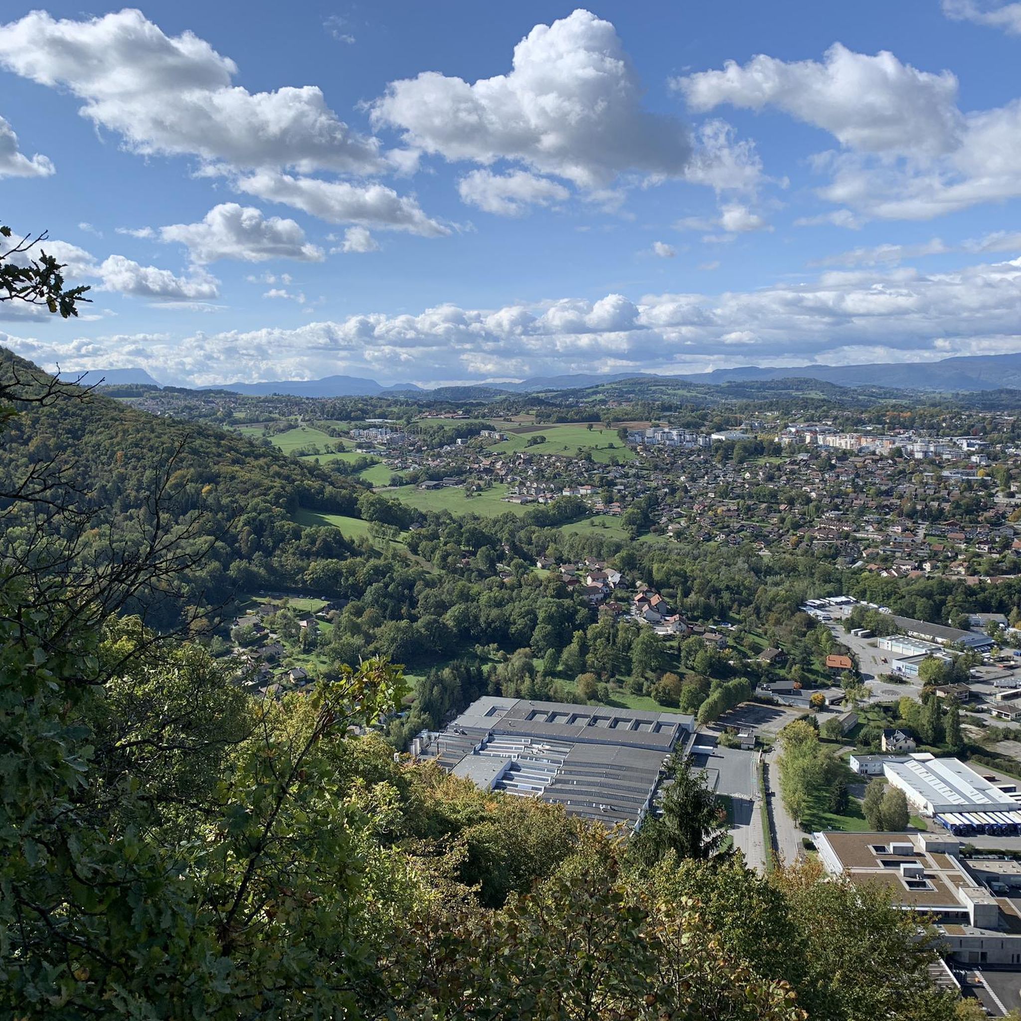
Breathtaking and incredible view of the Annecy basin.
0
0

Please note that since 2024, a decree prohibits access to the parking lot and prevents parking along the road. They pass by and issue fines otherwise.
0
0

A great chalet run by a very kind family and where we were able to buy fresh tomme cheese.
0
0
A bit dizzying but when the weather conditions are good and you watch where you put your feet, everything is fine!
0
0

Overcrowded, closed parking lots
0
0

magnificent hike on Mont Veyrier offering sublime views
1
0

Great view of the lake 🤩
2
0
Frequently Asked Questions
What kind of terrain can I expect on mountaineering routes around Cran-Gevrier?
The mountaineering routes around Cran-Gevrier are characterized by diverse and rugged landscapes, typical of the pre-Alps and the greater Alpine range. You'll encounter varied mountain terrain, often with significant elevation gain, offering expansive views of surrounding ranges like the Aravis and Bauges.
Are there any easier mountaineering routes for beginners near Cran-Gevrier?
Yes, while many routes are challenging, there are options suitable for those seeking a moderate experience. For example, the Mount Baron loop from Mont Rampon is rated as moderate, covering 5.3 km with an elevation gain of 366 meters.
What are some of the more challenging mountaineering routes in the area?
For experienced mountaineers, routes like Tête du Parmelan – Le Grand Montoir loop from Villaz offer a significant challenge. This difficult 15.6 km path features substantial elevation gain through varied mountain terrain. Another demanding option is Mount Baron – View of the Aravis and Bauges loop from Annecy-le-Vieux, which is 13.6 km long and also rated difficult.
What natural attractions or viewpoints can I find along these routes?
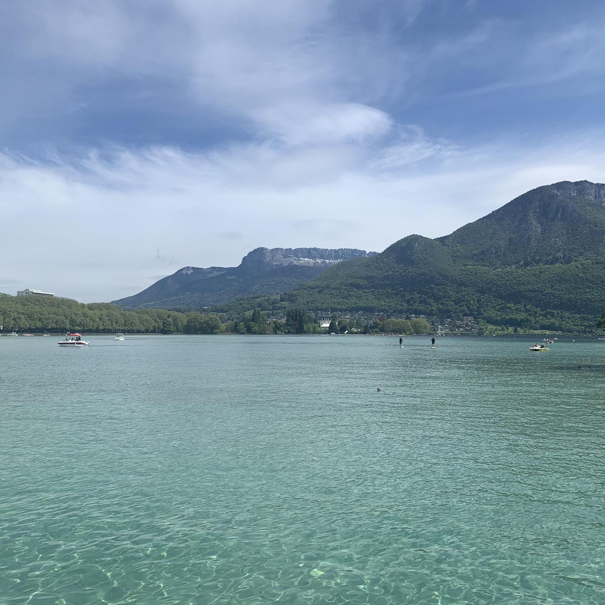
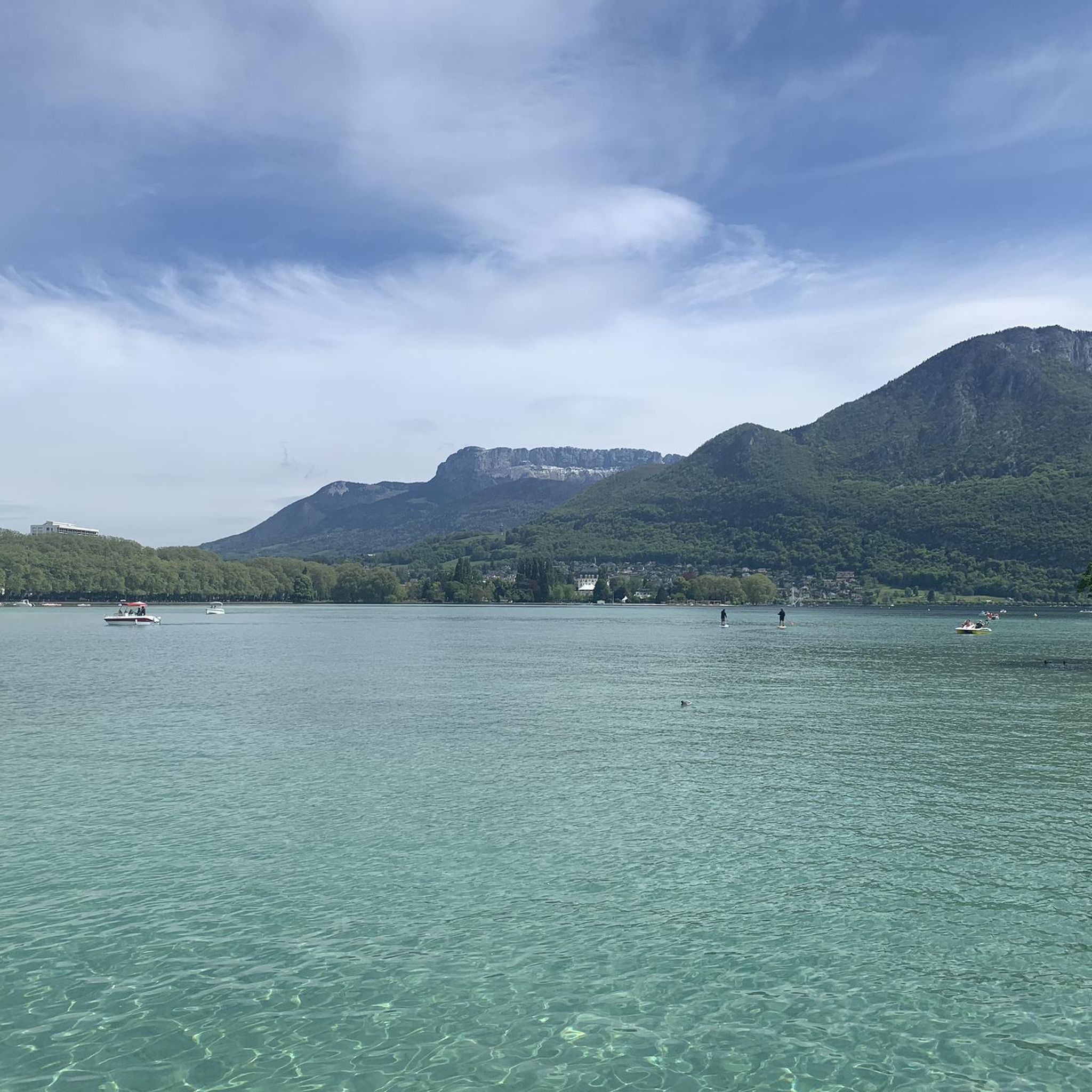
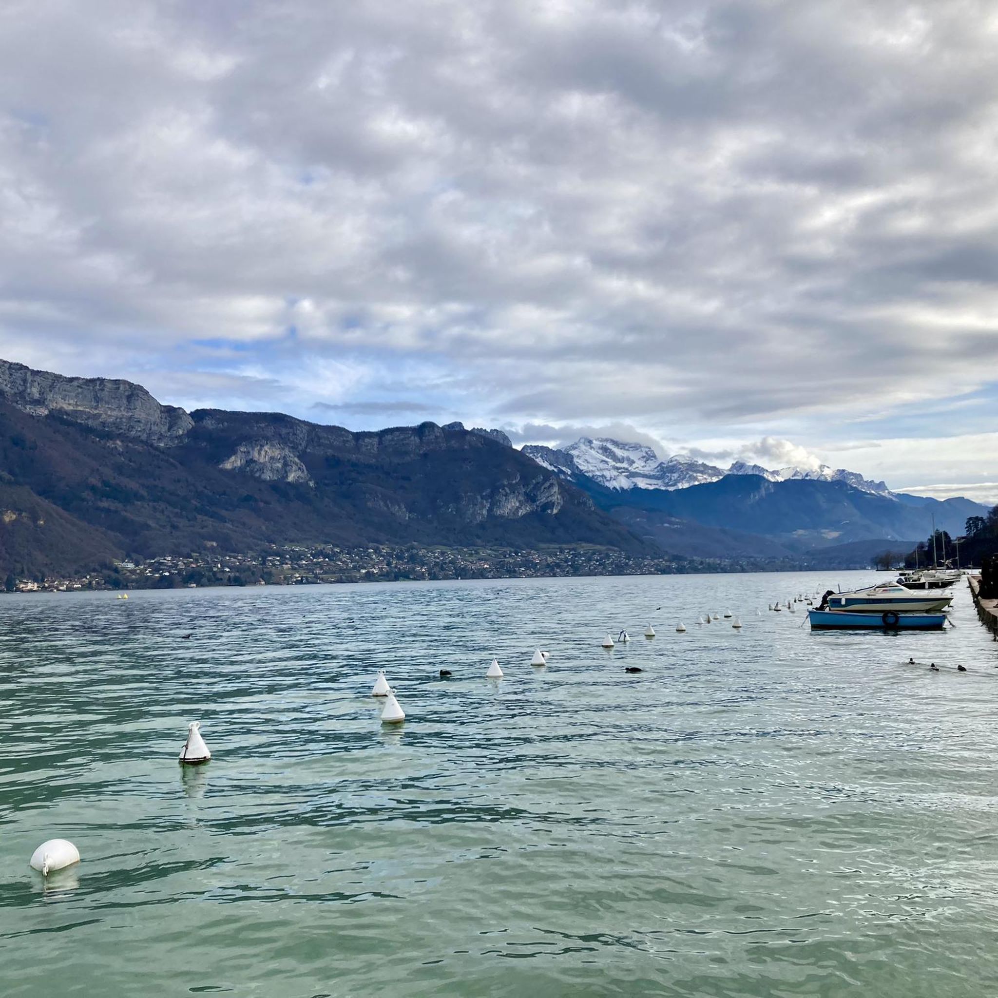
The region offers stunning natural beauty. Many routes provide panoramic views of Lake Annecy and the surrounding mountains. Notable viewpoints include View of Lake Annecy from Mont Veyrier and View of Lake Annecy from Mont Baron. You might also encounter dramatic features like the Fier Gorge nearby.
Are there any circular mountaineering routes available?
Yes, several routes are designed as loops, allowing you to start and end at the same point. Examples include the View of the Aravis and Bauges – Mount Baron loop from Annecy-le-Vieux and the Mont Baron loop from Annecy-le-Vieux.
What is the best time of year for mountaineering around Cran-Gevrier?
The best time for mountaineering typically depends on the specific route and conditions. Generally, late spring through early autumn offers the most favorable weather for high-altitude ascents. During winter, the region is popular for snow sports, but mountaineering may require specialized equipment and expertise due to snow and ice.
Can I access these mountaineering routes using public transport?
Cran-Gevrier, now part of Annecy, benefits from its proximity to urban centers. While specific route access points may vary, public transport options are available in the broader Annecy area. It's advisable to check local bus schedules to see if they connect to the starting points of your chosen mountaineering routes.
Is parking available near the trailheads?
For many popular mountaineering routes in the Annecy region, parking facilities are typically available near trailheads or in nearby villages. However, during peak seasons, these can fill up quickly. It's recommended to arrive early or research specific parking options for your chosen route in advance.
What do other mountaineers say about the routes in Cran-Gevrier?
The mountaineering routes around Cran-Gevrier are highly rated by the komoot community, with an average score of 4.4 stars from over 30 reviews. Mountaineers often praise the varied terrain, the challenging ascents, and the rewarding panoramic views of Lake Annecy and the surrounding Alpine ranges.
Are there any family-friendly mountaineering options?
While many mountaineering routes are rated difficult, some moderate options might be suitable for active families with older children, provided they have appropriate experience and equipment. The Mount Baron loop from Mont Rampon, for instance, is a shorter, moderate route that could be considered.
Are dogs allowed on the mountaineering trails?
Regulations regarding dogs on trails can vary by specific area or nature reserve within the Haute-Savoie region. It's best to check local signage at the trailhead or consult with local tourism offices or park authorities for the most up-to-date information on dog-friendly policies for your chosen route.
How does mountaineering in this region differ from regular hiking?
Mountaineering in the Cran-Gevrier area, due to its proximity to the pre-Alps and greater Alpine range, often involves more technical terrain, significant elevation gains, and potentially exposure to high-altitude conditions compared to typical hiking. It may require specialized gear, navigation skills, and a higher level of physical fitness and experience.
Most popular routes around Cran-Gevrier
Most popular attractions around Cran-Gevrier

Get inspired with the komoot mobile app


Explore more
Browse the best Mountain Hikes & Routes in other regions.
