The best walks and hikes around Entre-Deux-Guiers
4.5
(1573)
14,390
hikers
350
hikes
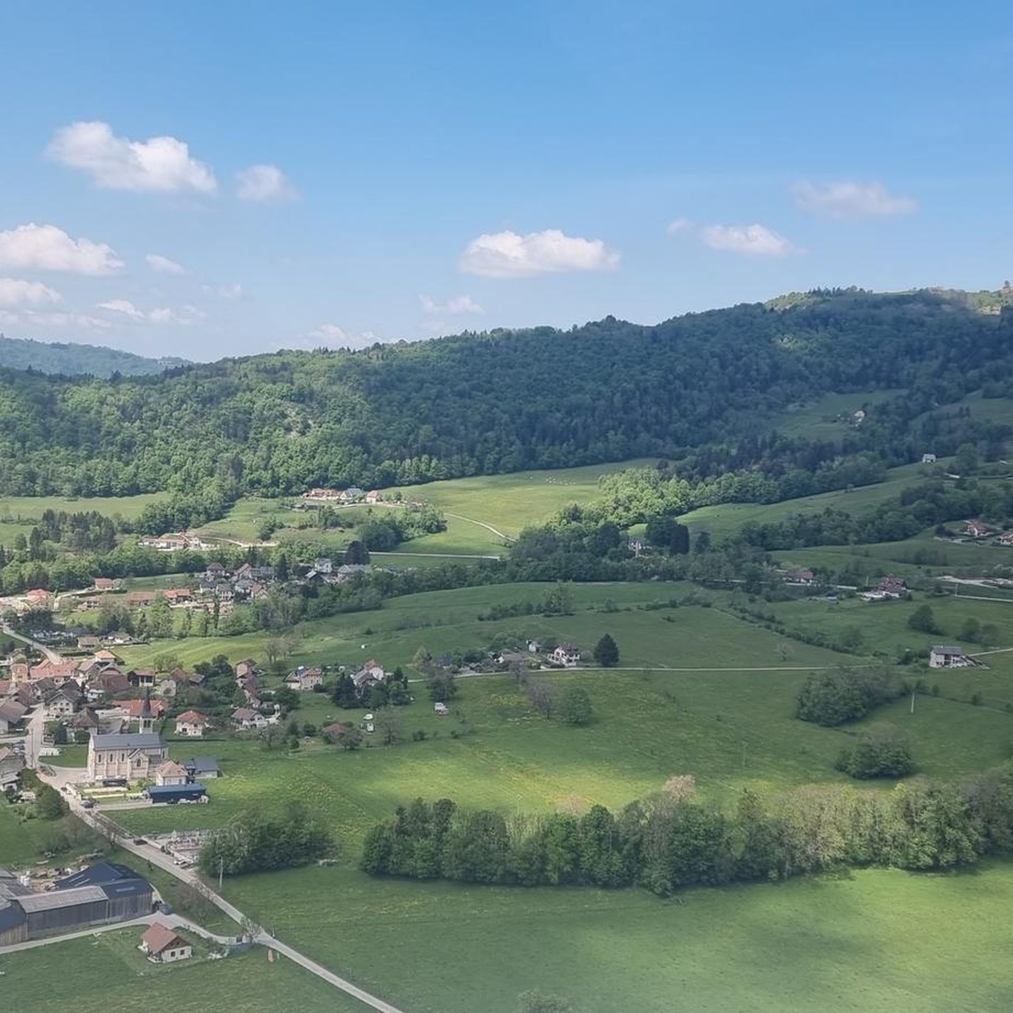
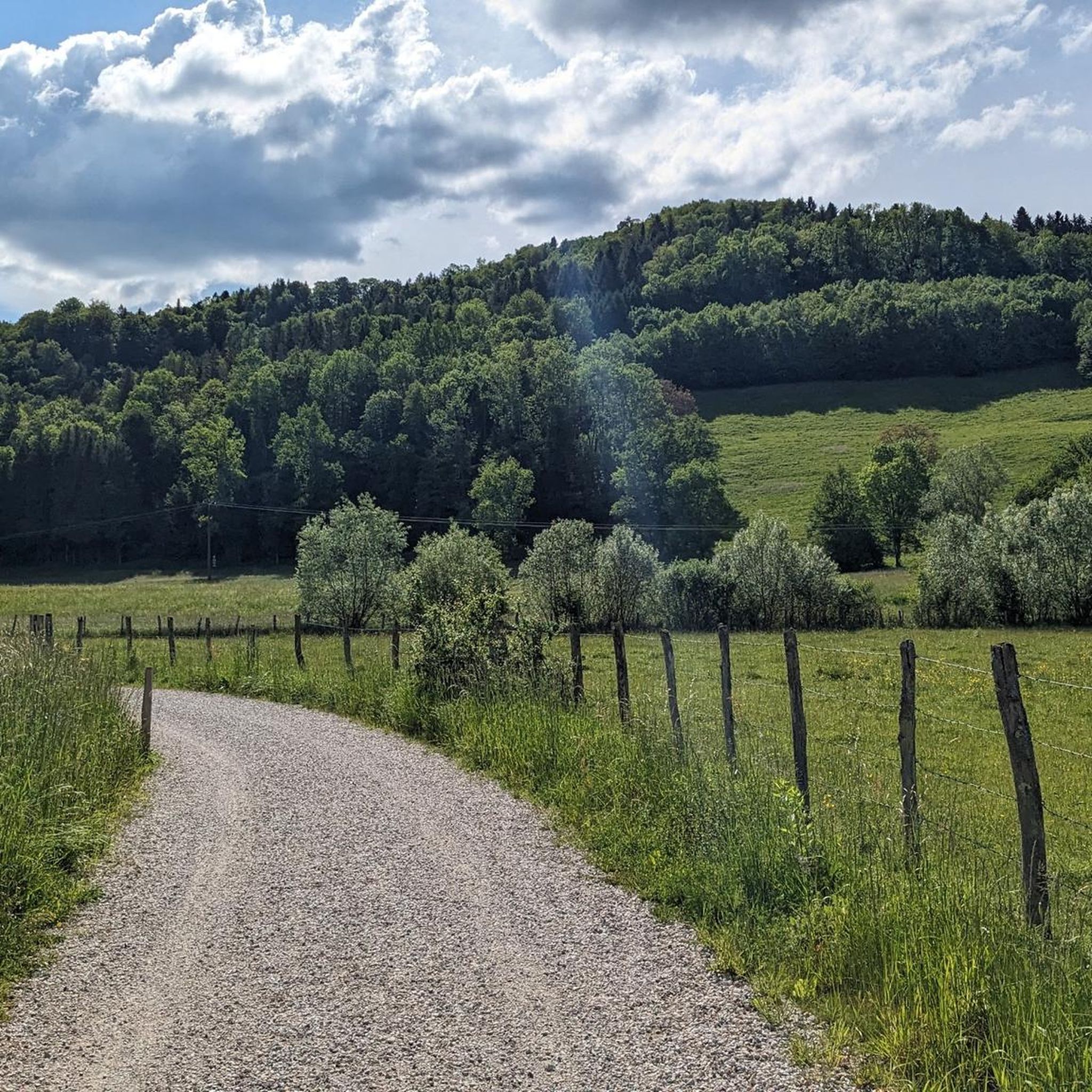
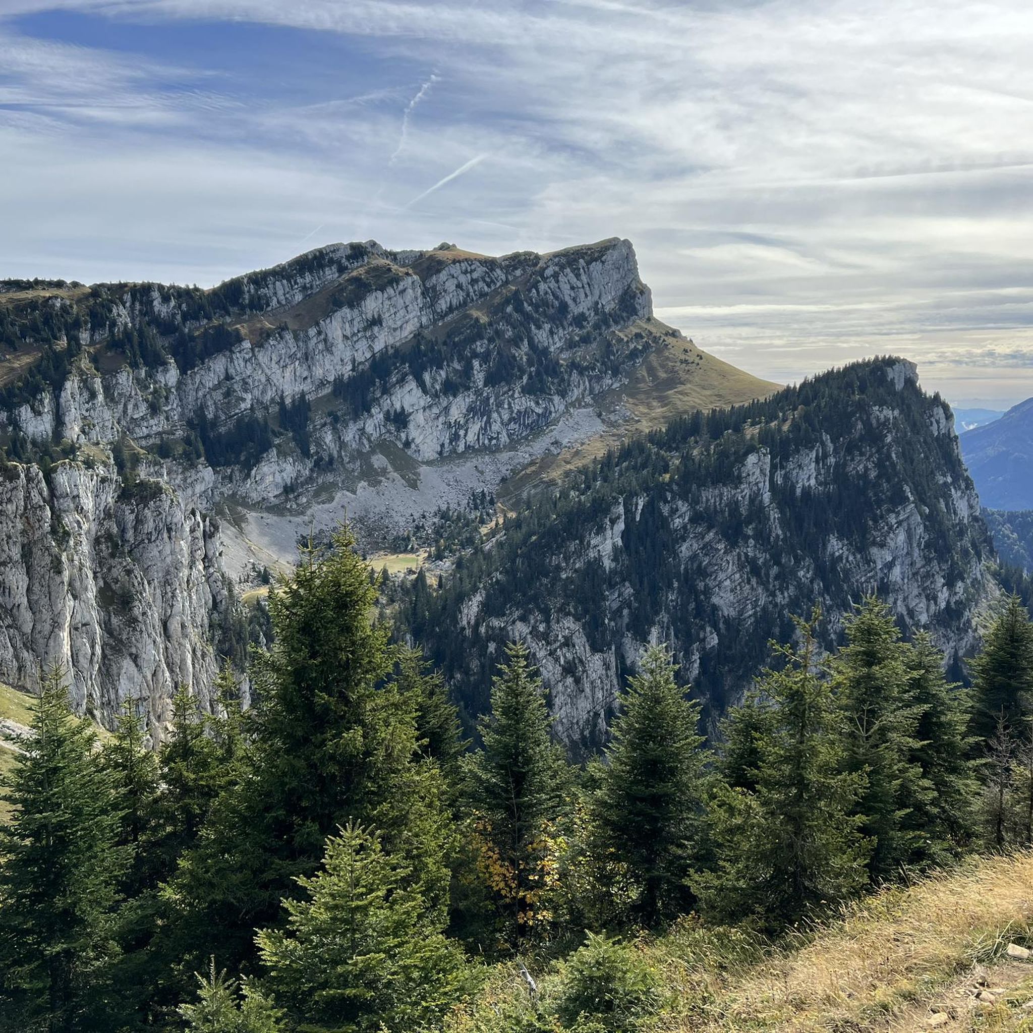
Hiking around Entre-Deux-Guiers offers access to varied terrain at the confluence of the Guiers Vif and Guiers Mort rivers, situated at the edge of the Chartreuse Regional Nature Park. The landscape features river valleys, forested hills, and the foothills of the Chartreuse mountains. This area provides a mix of paths suitable for different hiking preferences, from riverside walks to more challenging ascents.
Best hiking trails around Entre-Deux-Guiers
- The most popular hiking route is Ruchère Pass – Habert de Billon loop…
Last updated: May 20, 2026
4.6
(5)
42
hikers
13.6km
04:33
660m
660m
Moderate hike. Good fitness required. Mostly accessible paths. Sure-footedness required.
4.5
(10)
17
hikers
8.00km
02:11
110m
110m
Moderate hike. Good fitness required. Easily-accessible paths. Suitable for all skill levels.

Sign up for free
4.0
(1)
21
hikers
15.9km
05:44
670m
670m
Hard hike. Very good fitness required. Sure-footedness, sturdy shoes and alpine experience required.
5.0
(2)
27
hikers
6.60km
02:10
300m
300m
Moderate hike. Good fitness required. Mostly accessible paths. Sure-footedness required.
5.0
(2)
20
hikers
3.70km
01:02
70m
80m
Easy hike. Great for any fitness level. Easily-accessible paths. Suitable for all skill levels.
Get access to more routes and recommendations from other explorers.
Sign up for free
Already have an account?
Our route recommendations are based on thousands of hikes, rides, and runs completed by other people on komoot.
Start today with a free account
Your next adventure awaits.
Login or Signup
Tips from the Community

Pretty pass which gives access to the Arpison meadow, which is ideal for bivouacking
0
0
Be careful in spring, the Belvedere can be in the clouds, and there is no protection at the edge of the cliff.
0
0
Perfect as a starting point for hiking in the Chartreuse
0
0

It seems that this habère is the largest sheepfold in Chartreuse which could accommodate more than 100 cows and store the hay accordingly...source "croquerando.com/Blog-aquarelle-montagne.c/b23021a/Le_habert_de_Billon_Chartreuse".. If more information, please let me know.
0
0
Access by car except in winter, when the road is reserved for cross-country ski trails from the Ruchère center
0
0
Well marked cross-country skiing and snowshoeing routes. Beautiful place
0
0
Frequently Asked Questions
How many hiking trails are available around Entre-Deux-Guiers?
There are over 340 hiking routes recorded around Entre-Deux-Guiers, offering a wide variety of options for different skill levels and preferences. This includes paths through river valleys, forested hills, and the foothills of the Chartreuse mountains.
Are there easy hiking options suitable for beginners or families?
Yes, Entre-Deux-Guiers offers a good selection of easy trails. There are 65 easy routes available, many of which are suitable for families or those looking for a gentle stroll. For example, the Pointe du Frou loop from Chartreuse Regional Nature Park is an easy 3.9 km path that explores the local landscape without significant elevation gain.
Can I find circular hiking routes in Entre-Deux-Guiers?
Many of the trails around Entre-Deux-Guiers are designed as circular routes, allowing you to start and end at the same point. A popular moderate option is the Ruchère Pass – Habert de Billon loop from Chartreuse Regional Nature Park, which offers a scenic exploration of the Chartreuse foothills.
What kind of natural attractions or landmarks can I see while hiking?
The region is rich in natural beauty and historical landmarks. You can explore impressive natural features like the Gorges du Guiers Mort and Gorges du Crossey. Historical points of interest include the Old Saint-Martin Bridge and the Notre-Dame du Frou Statue.
Are the hiking trails around Entre-Deux-Guiers dog-friendly?
Generally, dogs are welcome on most hiking trails in the Entre-Deux-Guiers area, especially those outside of strict nature reserves. However, it's always recommended to keep dogs on a leash, particularly in agricultural areas, near livestock, or in parts of the Chartreuse Regional Nature Park where wildlife is present. Always check local signage for specific restrictions.
What is the best time of year to go hiking in Entre-Deux-Guiers?
The best time for hiking in Entre-Deux-Guiers is typically from spring to autumn (April to October). During these months, the weather is generally mild and pleasant, and the trails are clear. Spring brings lush greenery and wildflowers, while autumn offers beautiful fall foliage. Summer is also popular, but can be warmer, especially in the river valleys.
Are there any winter hiking opportunities in Entre-Deux-Guiers?
While some higher-altitude trails in the Chartreuse foothills may become challenging or require snowshoes in winter, many lower-elevation paths along the rivers and through the forests remain accessible. These can offer peaceful winter walks, often with picturesque snowy landscapes. Always check local conditions and weather forecasts before heading out.
How can I reach the hiking trails around Entre-Deux-Guiers using public transport?
Entre-Deux-Guiers is accessible by regional bus services, connecting it to larger towns like Pont-de-Beauvoisin and Voiron. From the village center, many trails are directly accessible on foot. For routes deeper into the Chartreuse Regional Nature Park, you might need to combine public transport with a short walk or taxi ride to the trailhead. It's advisable to check current bus schedules for the Transisère network.
Where can I find parking near the trailheads?
Parking is generally available in and around the village of Entre-Deux-Guiers, often near the church or town hall. For trails starting further afield, designated parking areas are usually provided at popular trailheads, especially within the Chartreuse Regional Nature Park. Always look for official parking signs and avoid blocking private access or narrow roads.
What do other hikers say about the trails in Entre-Deux-Guiers?
The hiking trails in Entre-Deux-Guiers are highly rated by the komoot community, with an average score of 4.5 stars from over 1500 reviews. Hikers often praise the varied terrain, from gentle riverside paths to more challenging ascents into the Chartreuse mountains, and appreciate the well-maintained routes and scenic views.
Are there any longer, more challenging hikes for experienced hikers?
Yes, for experienced hikers seeking a challenge, there are 109 difficult routes available. An example is the Old Saint-Martin Bridge – The Sarde Road loop from Entre-deux-Guiers, a 14.5 km trail that leads through historical pathways and varied terrain, often taking around 5 hours to complete.
Are there any specific points of interest or historical sites to look out for?
Beyond natural gorges, the area is steeped in history. The Old Saint-Martin Bridge is a notable historical landmark. The region also features several mountain passes, such as Col du Cucheron and Col des Mille Martyrs, which offer historical significance and stunning views.
Most popular routes around Entre-Deux-Guiers
Most popular attractions around Entre-Deux-Guiers

Get inspired with the komoot mobile app


Explore more
Browse the best Hikes in other regions.
