Vitrolles-En-Luberon
Vitrolles-En-Luberon
The best walks and hikes around Vitrolles-En-Luberon
4.4
(526)
2,815
hikers
170
hikes
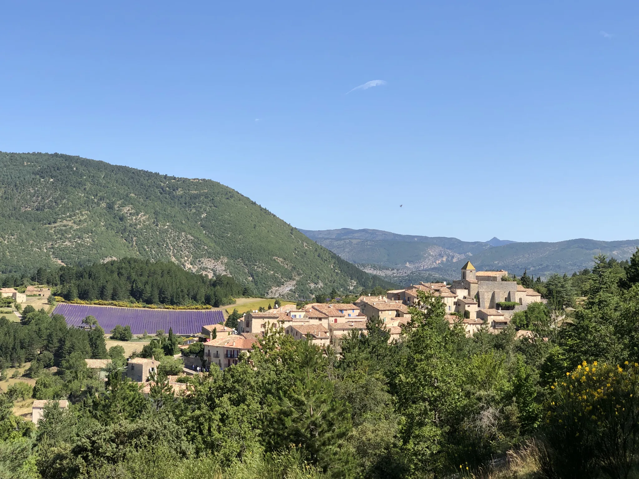
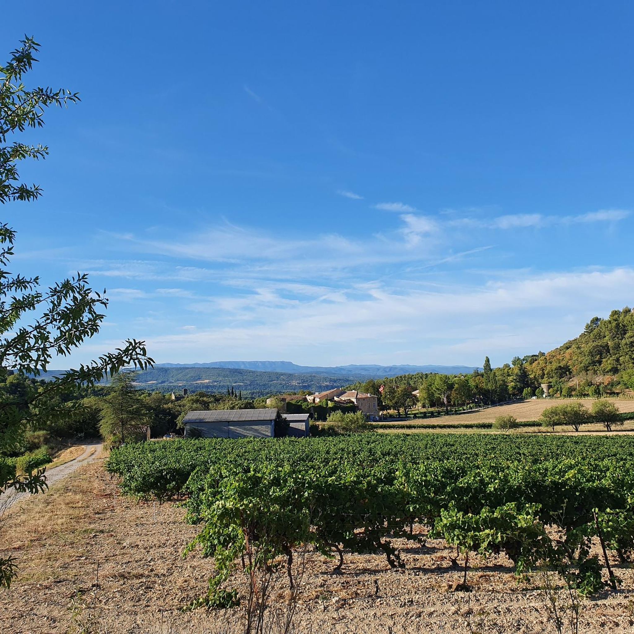
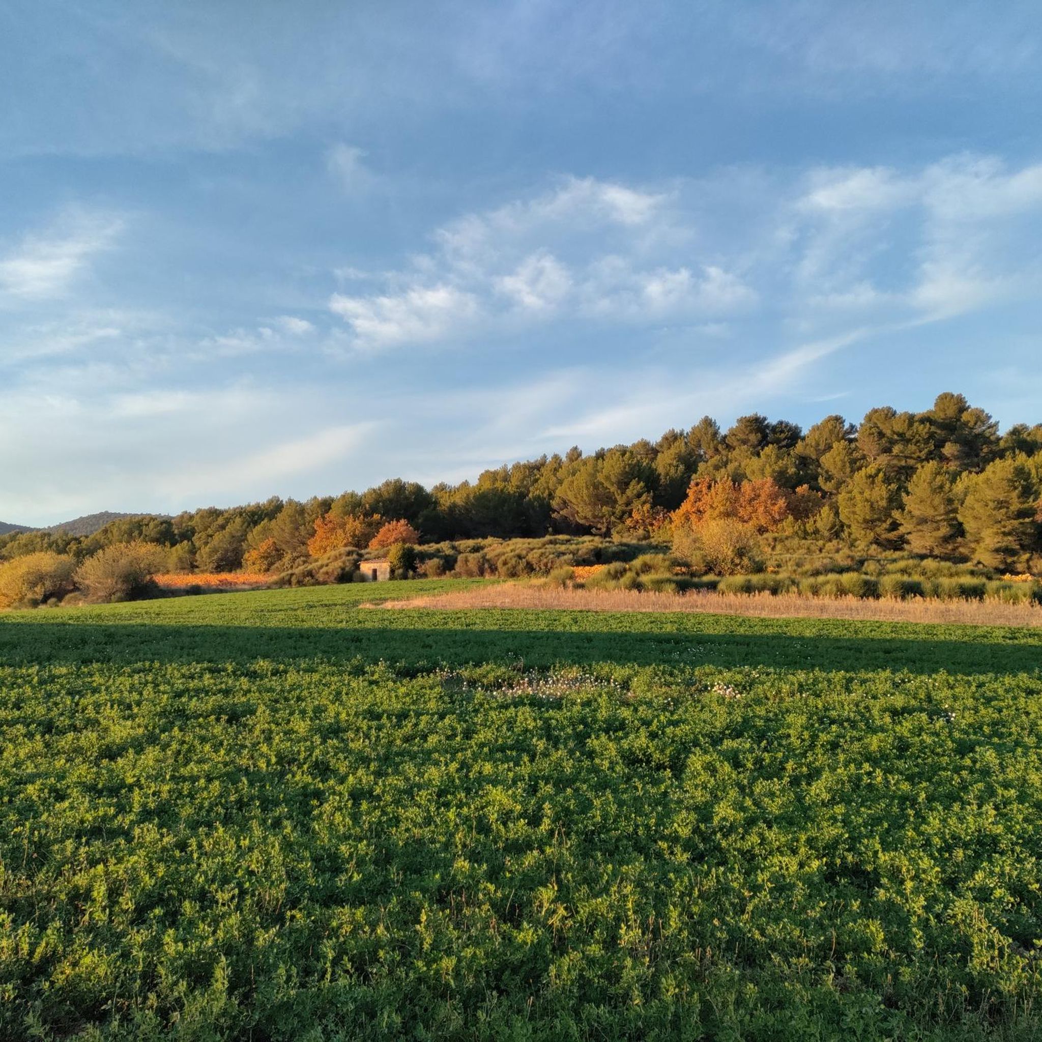
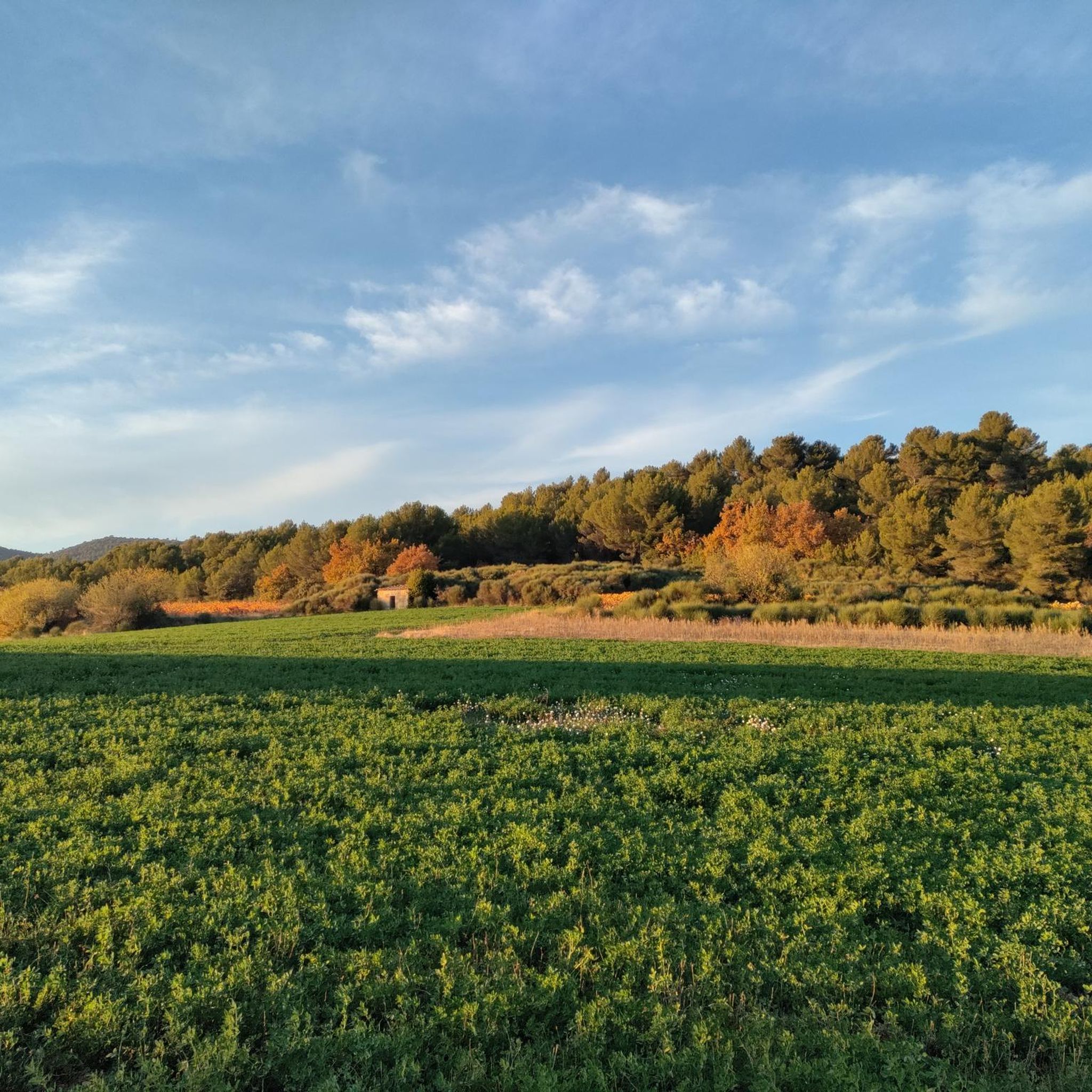
Hiking around Vitrolles-En-Luberon offers access to the diverse landscapes of the Luberon Regional Natural Park. The region is characterized by limestone hills, dense Mediterranean forests, and valleys, providing varied terrain for exploration. Trails often traverse through garrigue and past traditional Provençal villages. The area presents a mix of elevations, from gentle slopes to more challenging ascents.
Best hiking trails around Vitrolles-En-Luberon
- The most popular hiking route is Col de l'Aire dei Masco – Grand Luberon Ridge loop from Réserve naturelle…
Last updated: July 8, 2026
4.5
(22)
100
hikers
Moderate hike. Good fitness required. Easily-accessible paths. Suitable for all skill levels.
5.0
(1)
15
hikers
Hard hike. Very good fitness required. Easily-accessible paths. Suitable for all skill levels.

Sign up for free
5.0
(4)
22
hikers
8.26km
02:28
260m
260m
Moderate hike. Good fitness required. Easily-accessible paths. Suitable for all skill levels.
5.0
(2)
9
hikers
4.32km
01:19
150m
150m
Easy hike. Great for any fitness level. Easily-accessible paths. Suitable for all skill levels.
4.0
(1)
8
hikers
6.95km
02:06
240m
240m
Moderate hike. Good fitness required. Easily-accessible paths. Suitable for all skill levels.
Get access to more routes and recommendations from other explorers.
Sign up for free
Already have an account?
Our route recommendations are based on thousands of hikes, rides, and runs completed by other people on komoot.
Start today with a free account
Your next adventure awaits.
Login or Signup
Popular around Vitrolles-En-Luberon

Other adventures around Vitrolles-En-Luberon

Tips from the Community

In winter, bring warm clothes and a raincoat because the weather can change quickly.
0
0


Highest point of the Luberon massif, rising to 1125 meters above sea level. The view is magnificent: from the Berre pond to the Southern Alps.
0
0


The ridges of Mourre Nègre offer a 360-degree view of Mont Ventoux as well as the Lubéron. It is the highest point of the massif at 1,125 meters above sea level.
1
0

The highest peak in the Luberon massif, the Mourre Nègre, which means “black snout” in the Provençal language, peaks at an altitude of 1,125 meters. An imposing microwave antenna caps its rounded top.
1
0
At this altitude, on this path which follows a ridge, you not only have a splendid view but you also change the ecosystem. No more olive trees! You will discover the beautiful cedar forests. It is important to know that the greatest number of its trees are found on the ridge path of the Petit Luberon.
2
0
Very close to Mourre Nègre, you will find camping pitches here. Looking north, you will enjoy a view of the Alps, Mont Ventoux, and the Vaucluse mountains. Looking towards the southern slope of the mountain, you can sometimes make out the Camargue and the mouth of the Rhône.
2
0
Frequently Asked Questions
How many hiking trails are available around Vitrolles-En-Luberon?
There are over 150 hiking trails around Vitrolles-En-Luberon, offering a wide variety of options for different skill levels. This includes 55 easy routes, 83 moderate routes, and 17 challenging trails.
Are there any easy or beginner-friendly hikes in Vitrolles-En-Luberon?
Yes, Vitrolles-En-Luberon offers 55 easy routes suitable for beginners or those looking for a relaxed walk. These trails often traverse through garrigue and past traditional Provençal villages with gentle slopes.
What kind of terrain can I expect on hikes in Vitrolles-En-Luberon?
The terrain around Vitrolles-En-Luberon is characterized by limestone hills, dense Mediterranean forests, and valleys. You'll find a mix of elevations, from gentle slopes to more challenging ascents, often passing through garrigue and traditional Provençal landscapes.
Are there any circular walks available in Vitrolles-En-Luberon?
Yes, many routes in the area are circular. For example, the Les Ouvières loop from Vitrolles-en-Luberon is a moderate 7 km trail that starts and ends in the village.
What are some interesting natural landmarks or attractions to see while hiking?
Hikers can explore several notable landmarks. The highest point of the Luberon massif, Le Mourre Nègre, offers extensive panoramic views. You might also encounter the Col de l'Aire dei Masco, a mountain pass, or the serene Étang de la Bonde.
Are there any challenging hikes for experienced trekkers?
Absolutely. For experienced trekkers, the Mourre Nègre Summit – Mourre Nègre summit loop from Réserve naturelle géologique du Luberon is a difficult 22.8 km path leading to the highest point of the Luberon massif, offering extensive panoramic views. There are 17 difficult routes in total.
What do other hikers say about the trails in Vitrolles-En-Luberon?
The routes in Vitrolles-En-Luberon are highly rated by the komoot community, with an average score of 4.4 stars from over 400 reviews. Hikers often praise the diverse landscapes, from limestone hills to Mediterranean forests, and the well-maintained trails suitable for various fitness levels.
Can I find routes that offer great viewpoints?
Many trails in the region provide excellent viewpoints, especially those that ascend the limestone hills. The Col de l'Aire dei Masco – Grand Luberon Ridge loop from Réserve naturelle géologique du Luberon, for instance, offers stunning views along the Grand Luberon ridge within the geological reserve.
Are there any hikes that pass through villages or offer cultural sights?
Yes, some trails will lead you through or near traditional Provençal villages. The nearby Reillanne village is an example of a settlement you might encounter, offering a glimpse into local life and architecture.
What is a good moderate hike to experience the region's nature?
A great moderate option is the Col de l'Aire dei Masco loop from Réserve naturelle géologique du Luberon. This 7.7 km trail leads through the natural geological reserve, showcasing the region's characteristic limestone hills and forests.
Is there a hike that combines ridge views with a longer distance?
Consider the Les Grand Collets – Col de l'Aire dei Masco loop from Peypin-d'Aigues. This moderate 13.6 km route offers expansive ridge views and a good workout, exploring the varied terrain of the Luberon.
Most popular routes around Vitrolles-En-Luberon
Most popular attractions around Vitrolles-En-Luberon

Get inspired with the komoot mobile app


Explore more
Browse the best Hikes in other regions.
