The best walks and hikes around Peypin-D'Aigues
4.4
(617)
3,242
hikers
187
hikes
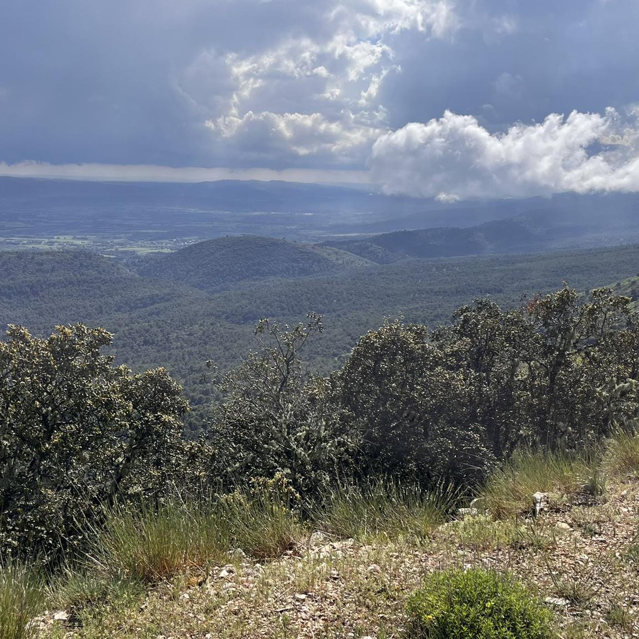
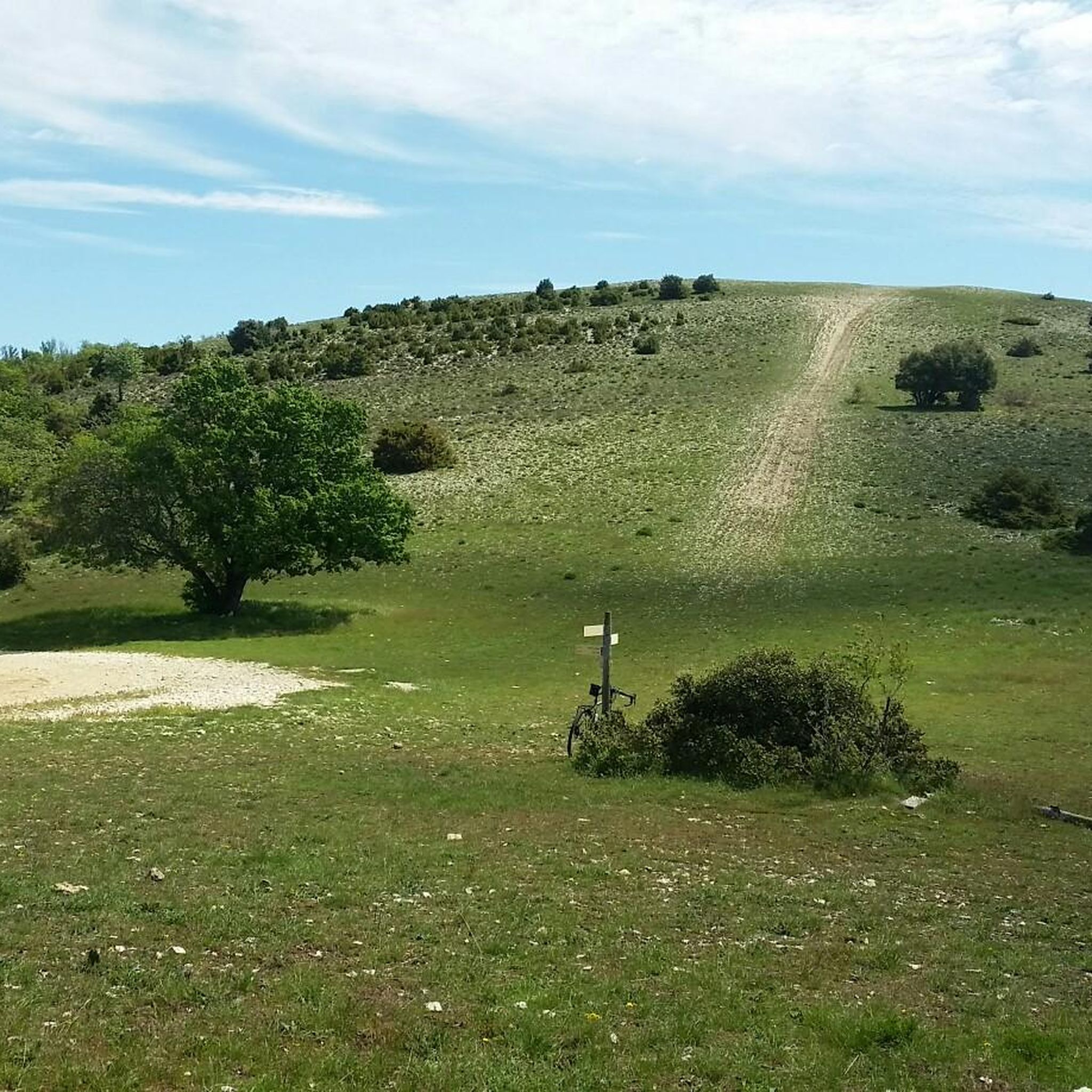
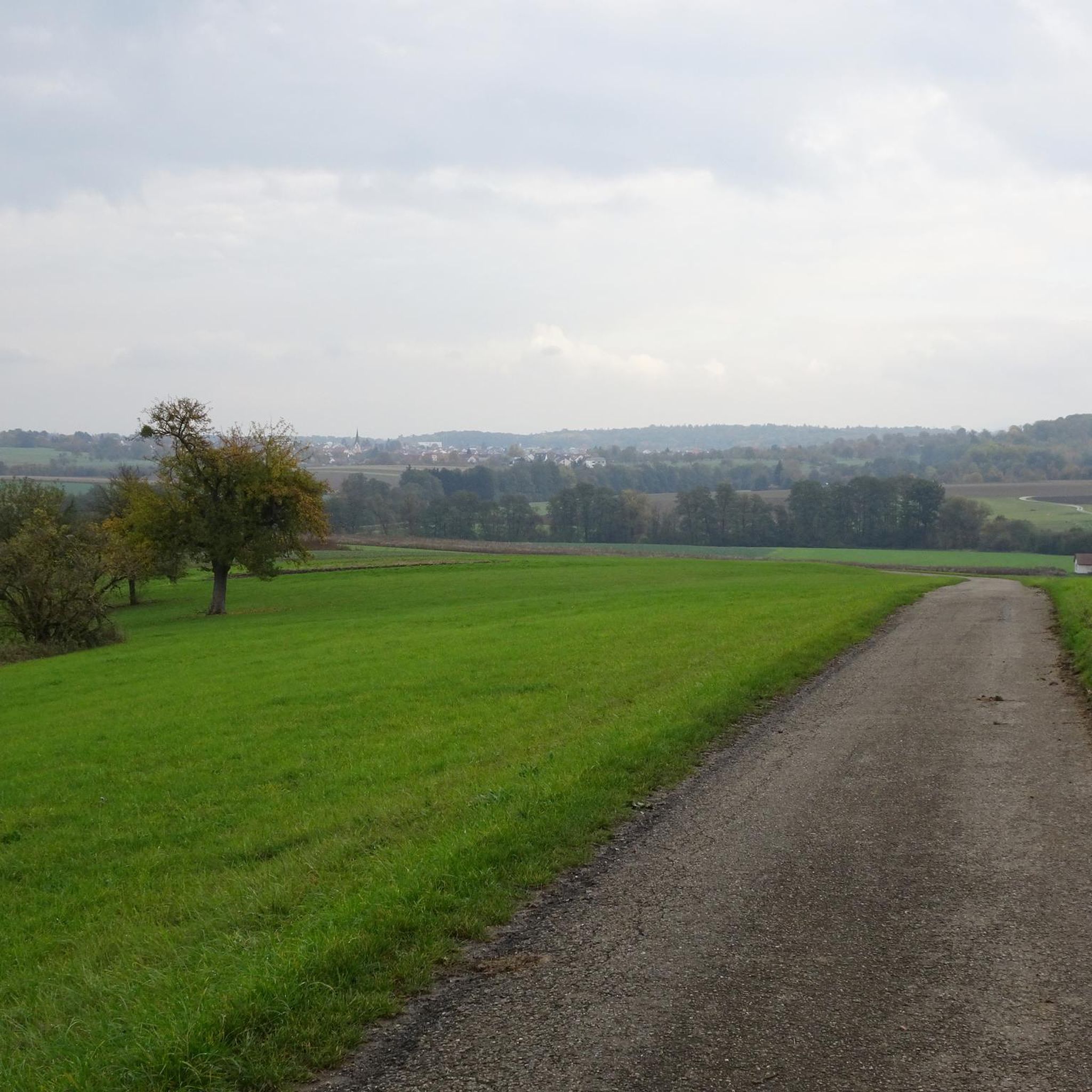
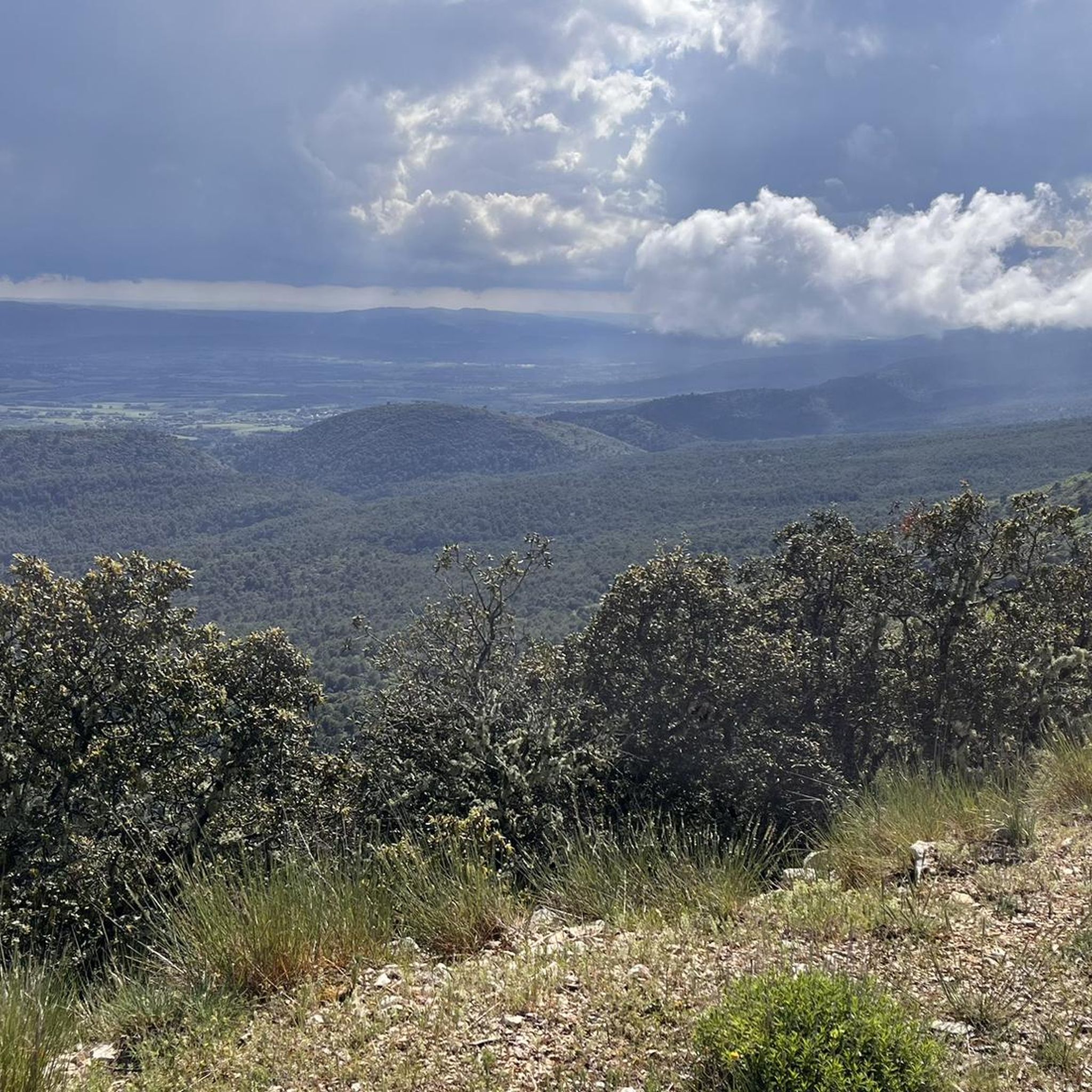
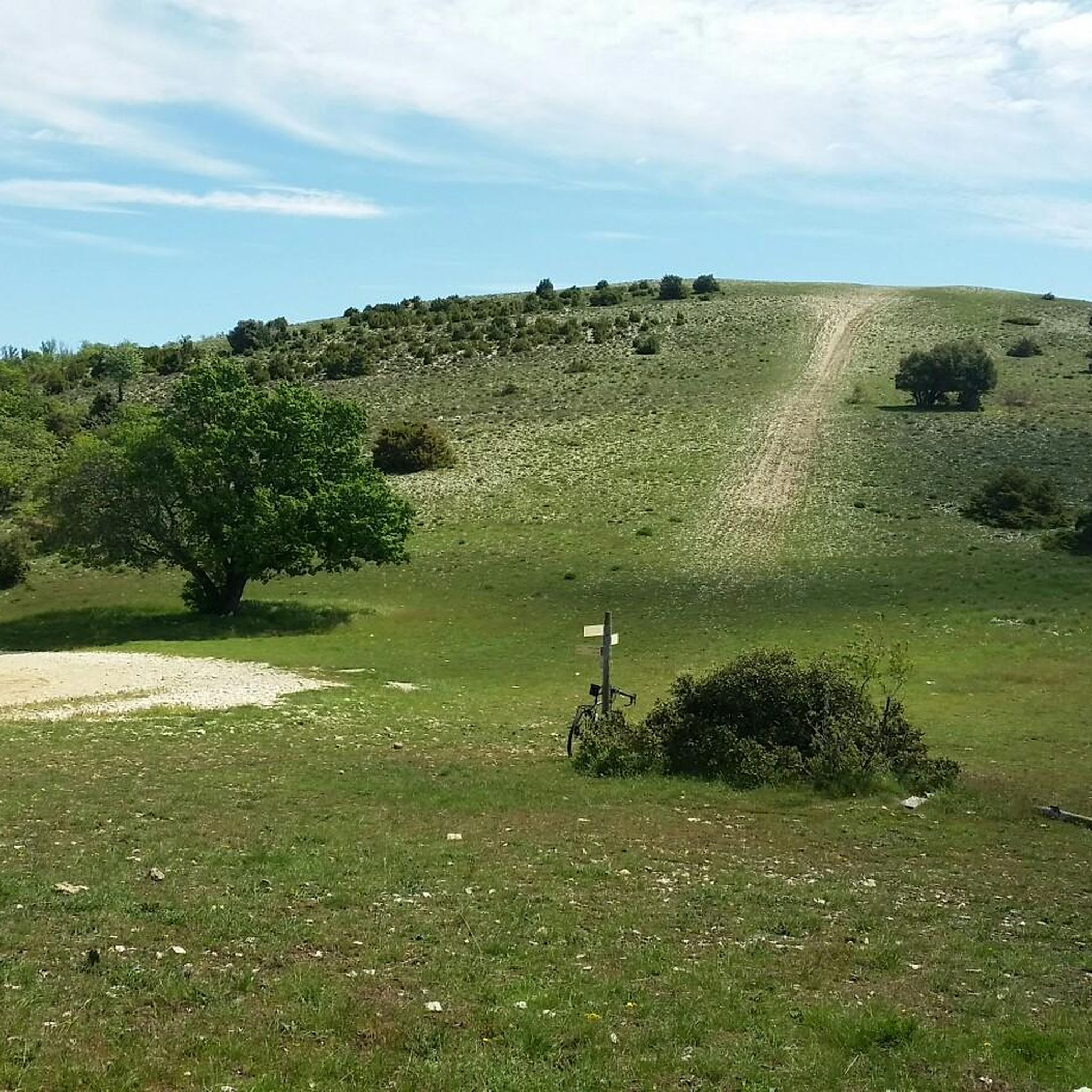
Hiking around Peypin-D'Aigues offers diverse terrain within the Luberon Regional Natural Park, characterized by forests, cultivated lands, and rolling hills. The area features Mediterranean vegetation, including garrigue scrub, holm oaks, and Aleppo pines, alongside vineyards and fruit trees. Mourre Nègre, the highest point of the Luberon massif, provides significant elevation and panoramic views. Étang de la Bonde is a notable body of water at the foot of the massif.
Best hiking trails around Peypin-D'Aigues
- The most popular hiking route is…
Last updated: June 25, 2026
4.5
(22)
100
hikers
Moderate hike. Good fitness required. Easily-accessible paths. Suitable for all skill levels.
4.3
(3)
49
hikers
9.21km
02:48
330m
330m
Moderate hike. Good fitness required. Easily-accessible paths. Suitable for all skill levels.

Sign up for free
4.5
(4)
15
hikers
10.3km
03:36
580m
580m
Moderate hike. Good fitness required. Easily-accessible paths. Suitable for all skill levels.
5.0
(1)
15
hikers
Hard hike. Very good fitness required. Easily-accessible paths. Suitable for all skill levels.
3.8
(4)
20
hikers
5.99km
01:35
60m
60m
Easy hike. Great for any fitness level. Easily-accessible paths. Suitable for all skill levels.
Get access to more routes and recommendations from other explorers.
Sign up for free
Already have an account?
Our route recommendations are based on thousands of hikes, rides, and runs completed by other people on komoot.
Start today with a free account
Your next adventure awaits.
Login or Signup
Tips from the Community

Attention, passage through private property.
0
0

A beautiful, challenging hike along the Luberon ridges. Views of the Alps, Mont Ventoux and Mourre Nègre.
0
0

In winter, bring warm clothes and a raincoat because the weather can change quickly.
0
0


Highest point of the Luberon massif, rising to 1125 meters above sea level. The view is magnificent: from the Berre pond to the Southern Alps.
0
0

enjoyed a cool bath after a long bike ride.
0
0

The ridges of Mourre Nègre offer a 360-degree view of Mont Ventoux as well as the Lubéron. It is the highest point of the massif at 1,125 meters above sea level.
1
0
Frequently Asked Questions
What kind of terrain can I expect on hiking trails around Peypin-D'Aigues?
The terrain around Peypin-D'Aigues is diverse, ranging from forests and cultivated lands to rolling hills within the Luberon Regional Natural Park. You'll encounter Mediterranean vegetation like garrigue scrub, holm oaks, and Aleppo pines, alongside vineyards and fruit trees. Trails can vary from gentle paths to more rugged ascents, especially when heading towards higher elevations.
Are there hiking routes suitable for families with children?
Yes, there are several family-friendly options. The Peypin d'Aigues Botanical Trail (Sentier Botanique du Vallon des Hermitans) is an easy, shaded route perfect for families, offering interpretive panels about local plants. Another great option is the La Bonde Pond loop from La Motte-d'Aigues, which is an easy 2.7-mile (4.4 km) trail around Étang de la Bonde, suitable for a leisurely stroll.
What are the best trails for stunning panoramic views?
For breathtaking panoramic views, consider routes that ascend to higher points. Mourre Nègre Summit – Mourre Nègre summit loop from Réserve naturelle géologique du Luberon, though challenging, offers 360-degree vistas from the highest point of the Luberon massif, including Mont Ventoux and, on clear days, even the Camargue. Trails along the Grand Luberon Ridge, such as the Col de l'Aire dei Masco – Grand Luberon Ridge loop from Source du Mirail, also provide spectacular views of the Alps and the broader Luberon landscape.
Are there any circular hiking routes in the area?
Many of the hiking routes around Peypin-D'Aigues are circular, allowing you to start and end at the same point. Examples include the popular Col de l'Aire dei Masco – Grand Luberon Ridge loop from Réserve naturelle géologique du Luberon, a moderate 6.9-mile (11.1 km) trail, and the easier La Bonde Pond loop from La Motte-d'Aigues.
What natural features or landmarks can I see along the trails?
The region is rich in natural beauty. You can explore the diverse landscapes of the Luberon Regional Natural Park. Notable features include Le Mourre Nègre, the highest peak, and Étang de la Bonde, a significant body of water popular for recreation. You might also encounter traditional dry-stone walls and the fragrant garrigue vegetation.
What is the best time of year to go hiking in Peypin-D'Aigues?
Spring and autumn are generally the best times for hiking in Peypin-D'Aigues. The weather is milder, and the landscapes are vibrant with spring blooms or rich autumn colors. Summer can be very hot, so if hiking during this season, it's advisable to start early in the morning, choose shaded routes, and carry plenty of water. Winters are generally mild but can be damp.
What do other hikers say about the trails in Peypin-D'Aigues?
The hiking trails around Peypin-D'Aigues are highly regarded by the komoot community, with an average rating of 4.4 stars from over 549 reviews. Hikers often praise the varied landscapes, the stunning views from higher elevations, and the well-maintained paths that cater to different fitness levels.
Are there any challenging hikes for experienced trekkers?
Yes, for experienced trekkers seeking a challenge, routes ascending to Mourre Nègre offer significant elevation gain and longer distances. The Mourre Nègre Summit – Mourre Nègre summit loop from Réserve naturelle géologique du Luberon is a difficult 14.2-mile (22.8 km) route with substantial climbing, rewarding hikers with expansive views from the summit.
What kind of wildlife might I encounter while hiking?
The Luberon Regional Natural Park is home to a rich diversity of wildlife, with over 270 vertebrate species. Hikers might spot various birds, including rare birds of prey like Bonelli's eagle. The Mediterranean vegetation also supports a range of insects and smaller mammals, making for an engaging natural experience.
Is public transport available to reach hiking trailheads near Peypin-D'Aigues?
Peypin-D'Aigues is a rural village within the Luberon Regional Natural Park. While some regional bus services connect larger towns, direct public transport to specific trailheads can be limited. It is often more convenient to reach the area by car, which allows for greater flexibility in accessing various starting points for hikes.
Are there options for shorter, easier walks?
Absolutely. If you're looking for shorter and easier walks, the La Bonde Pond loop from La Motte-d'Aigues is an excellent choice, taking just over an hour to complete. The Peypin d'Aigues Botanical Trail is another easy option, perfect for a relaxed exploration of the local flora.
What are the general difficulty levels of hikes in the area?
Hiking around Peypin-D'Aigues offers a range of difficulty levels. You'll find approximately 59 easy routes, 89 moderate routes, and 22 difficult routes. This variety ensures there are options for casual walkers, intermediate hikers, and experienced trekkers alike.
Most popular routes around Peypin-D'Aigues
Most popular attractions around Peypin-D'Aigues

Get inspired with the komoot mobile app


Explore more
Browse the best Hikes in other regions.
