The best walks and hikes around Fontenay-Mauvoisin
4.7
(188)
1,303
hikers
184
hikes
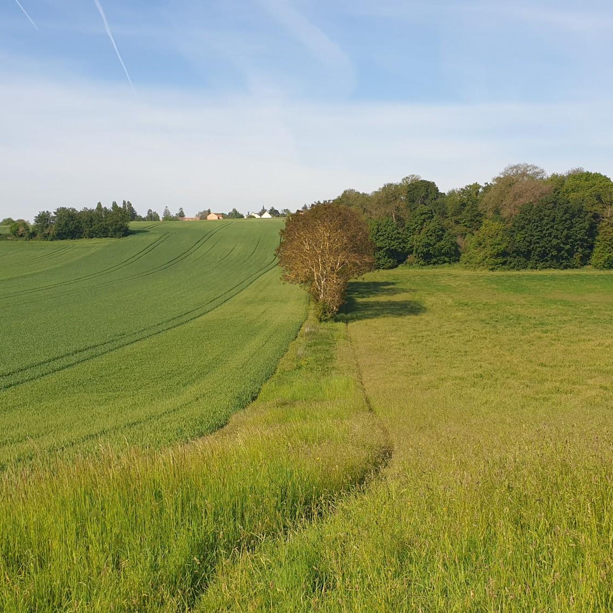
Hiking around Fontenay-Mauvoisin offers a diverse landscape characterized by river valleys, dense forests, and open calcareous grasslands. The region features varied terrain, from gentle riverside paths to more challenging ascents through wooded areas. Trails often connect rural villages with historical sites and natural viewpoints. This area provides a range of hiking experiences suitable for different fitness levels.
Best hiking trails around Fontenay-Mauvoisin
- The most popular hiking route is Wash-house and manor house – Belvédère de Rolleboise loop from Rosny-sur-Seine,…
Last updated: November 5, 2026
5.0
(2)
19
hikers
Hard hike. Very good fitness required. Easily walkable paths.
5.0
(3)
22
hikers
13.7km
03:43
190m
190m
Moderate hike. Good fitness required. Easily walkable paths.

4.5
(4)
22
hikers
Easy hike. Easily walkable paths.
4.5
(2)
12
hikers
14.6km
03:56
180m
180m
Moderate hike. Good fitness required. Easily walkable paths.
4.5
(2)
17
hikers
10.5km
02:49
110m
110m
Moderate hike. Good fitness required. Easily walkable paths.
Get access to more routes and recommendations from other explorers.
Already have an account?
Our route recommendations are based on thousands of hikes, rides, and runs completed by other people on komoot.
Start today with a free account
Your next adventure awaits.



Tips from the Community


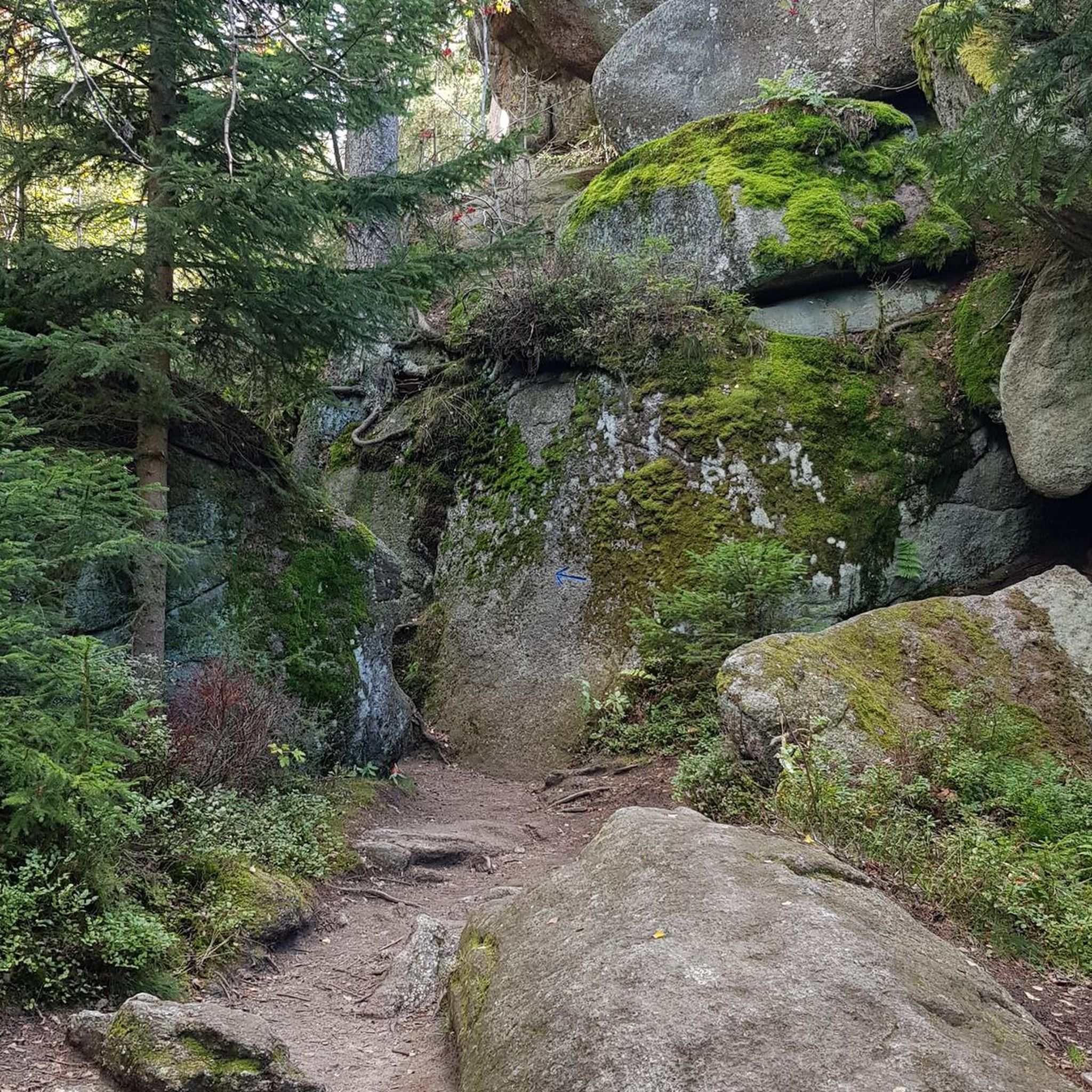
The regional forest of Rosny is the green lung of the north-west of Île-de-France, with 1,751 hectares of wooded areas classified as a Natura 2000 site. It is located on a plateau which offers beautiful viewpoints when the landscape emerges.
1
0
This pretty little village embedded in the Vaucouleurs valley owes its charm in particular to the hilly landscape that surrounds it. The town is crossed by a diversion channel of the river which fed an old mill.
0
0

the belvedere, then this one you have to gain if you come from the bottom of Rolleboise, it goes up a bit, it is a vestige of the Universal Exhibition of Paris in 1900, it was brought back from Paris and installed here, it at was redone a short time ago because it was going into disrepair and it was a little trashed but now it is magnificent is monitored by 2 cameras, you with a view of the Seine and the valley at the top
3
0

Magnificent washhouse in a superb location.
0
0

A beautiful wash house in front of a very beautiful house.
0
0
Frequently Asked Questions
How many hiking trails are available around Fontenay-Mauvoisin?
There are over 170 hiking trails around Fontenay-Mauvoisin, offering a diverse range of experiences. These routes vary in difficulty, from gentle riverside paths to more challenging ascents through wooded areas.
Are there easy hikes suitable for beginners or families in Fontenay-Mauvoisin?
Yes, Fontenay-Mauvoisin offers nearly 50 easy hiking routes perfect for beginners or families. A great option is the Walk Near the Gas Wells – Ferme des Huit Routes loop from Boissy-Mauvoisin, which is 4.1 miles (6.7 km) long and takes about 1 hour 44 minutes to complete, leading through rural paths and historical points.
What kind of terrain can I expect on hikes in Fontenay-Mauvoisin?
The region's terrain is quite varied, characterized by river valleys, dense forests, and open calcareous grasslands. You'll find everything from gentle riverside paths to more challenging ascents through wooded areas, often connecting rural villages with historical sites and natural viewpoints.
Are there any circular walks available in the Fontenay-Mauvoisin area?
Yes, many of the trails around Fontenay-Mauvoisin are circular, allowing you to start and end at the same point. For example, the Rosny Forest – Calcareous grasslands loop from Boissy-Mauvoisin is a moderate 8.5 miles (13.7 km) path that winds through varied scenery.
What are some notable landmarks or attractions to see while hiking?
While hiking, you can discover several interesting landmarks. Consider visiting the historic Donjon and Fortified Site of Montchauvet or the impressive Collegiate Church of Notre-Dame de Mantes-la-Jolie. The region also features charming structures like Neauphlette Church and the grand Château de Tilly.
Are there any hikes with good viewpoints in Fontenay-Mauvoisin?
Yes, some trails offer excellent panoramic views. The Wash-house and manor house – Belvédère de Rolleboise loop from Rosny-sur-Seine is a difficult 12.1 miles (19.5 km) route that specifically highlights panoramic views from Belvédère de Rolleboise.
What is the best time of year to go hiking in Fontenay-Mauvoisin?
The region is enjoyable for hiking throughout much of the year. Spring and autumn offer pleasant temperatures and beautiful scenery, with blooming wildflowers or vibrant fall foliage. Summer is also popular, though some trails might be more exposed. Winter hikes are possible, especially on less challenging routes, allowing for a different perspective of the landscape.
What do other hikers enjoy most about the trails in Fontenay-Mauvoisin?
The trails in Fontenay-Mauvoisin are highly rated by the komoot community, with an average score of 4.6 stars from over 150 reviews. Hikers often praise the diverse scenery, which includes quiet woodlands, open calcareous grasslands, and river valleys, as well as the well-maintained paths that connect rural villages and historical sites.
Are there any moderate hikes for those looking for a bit more challenge?
Absolutely. There are over 100 moderate routes in the area. A popular choice is the Saint-Maclou Tower loop from Mantes-la-Jolie, a 10.9 km (6.8 miles) trail that offers a good balance of distance and elevation, typically completed in about 2 hours 40 minutes.
Can I find longer, more challenging hikes in the region?
Yes, for experienced hikers seeking a greater challenge, there are 18 difficult routes available. The Wash-house and manor house – Belvédère de Rolleboise loop from Rosny-sur-Seine, at 19.5 km (12.1 miles) and taking over 5 hours, is a prime example of a more demanding trail with significant elevation changes.
Are there any trails that pass through forests or wooded areas?
Many trails in Fontenay-Mauvoisin lead through extensive forests. The Rosny Forest – Calcareous grasslands loop from Boissy-Mauvoisin is a great example, winding directly through the varied scenery of Rosny Forest, offering shade and a tranquil atmosphere.
Are there any trails that are particularly good for spotting wildlife?
While not explicitly designated for wildlife, the diverse habitats of dense forests, river valleys, and open grasslands provide opportunities to observe local fauna. The The village of Vert – Red Squirrel loop from Mantes Station, for instance, suggests the presence of specific wildlife, making it a good option for nature enthusiasts.
Most popular routes around Fontenay-Mauvoisin
Most popular attractions around Fontenay-Mauvoisin

Get inspired with the komoot mobile app


Explore more
Browse the best Hikes in other regions.
