The best mountain hikes around Villar-Saint-Pancrace
4.8
(15)
105
hikers
12
hikes
Mountaineering around Villar-Saint-Pancrace offers access to diverse and rugged mountainous landscapes in the Hautes-Alpes department of southeastern France. The region features elevations ranging from 1,160 to 2,903 meters, characterized by steep slopes, alpine valleys, and high plateaus. It is strategically located near the Ecrins National Park, known for its accessible glaciers and peaks over 3,000 meters, providing a range of terrain for alpine races and technical climbing. The area also includes extensive larch and ancient pine forests, such as the…
Last updated: July 7, 2026
16
hikers
3.72km
01:51
260m
260m
Hard mountaineering route. Great for any fitness level. Sure-footedness, sturdy shoes and alpine experience required.
4.0
(1)
8
hikers
10.7km
06:08
1,030m
1,030m
Hard mountaineering route. Very good fitness required. Sure-footedness, sturdy shoes and alpine experience required.

Sign up for free
5.0
(1)
11
hikers
Hard mountaineering route. Very good fitness required. Mostly accessible paths. Sure-footedness required.
10
hikers
9.54km
03:14
440m
440m
Moderate mountaineering route. Good fitness required. Mostly accessible paths. Sure-footedness required.
9
hikers
13.6km
06:37
1,210m
1,210m
Hard mountaineering route. Very good fitness required. Mostly accessible paths. Sure-footedness required.
Get access to more routes and recommendations from other explorers.
Sign up for free
Already have an account?
Our route recommendations are based on thousands of hikes, rides, and runs completed by other people on komoot.
Start today with a free account
Your next adventure awaits.
Login or Signup
Popular around Villar-Saint-Pancrace

Seven MTB routes in the Southern Alps – nature, passes and valleys
Road Cycling Routes around Villar-Saint-Pancrace
Cycling around Villar-Saint-Pancrace
MTB Trails around Villar-Saint-Pancrace
Running Trails around Villar-Saint-Pancrace
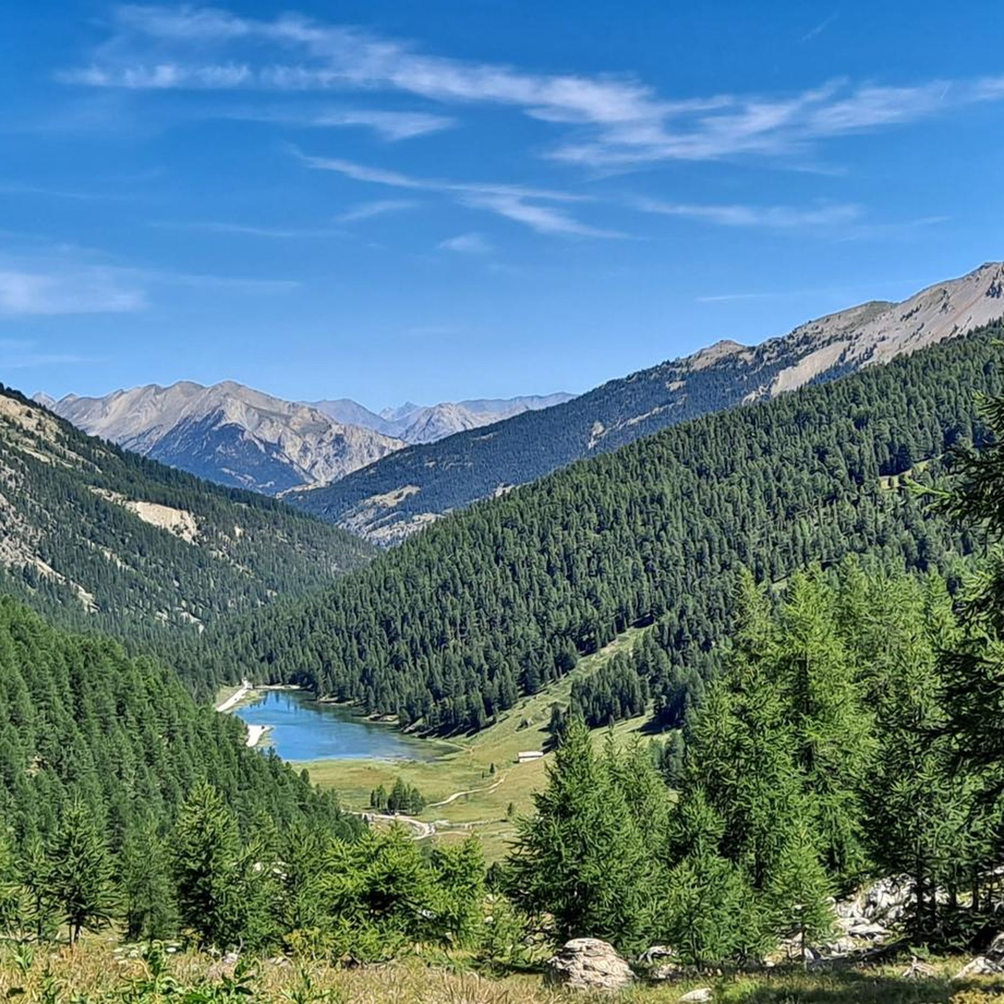
Hiking around Villar-Saint-Pancrace
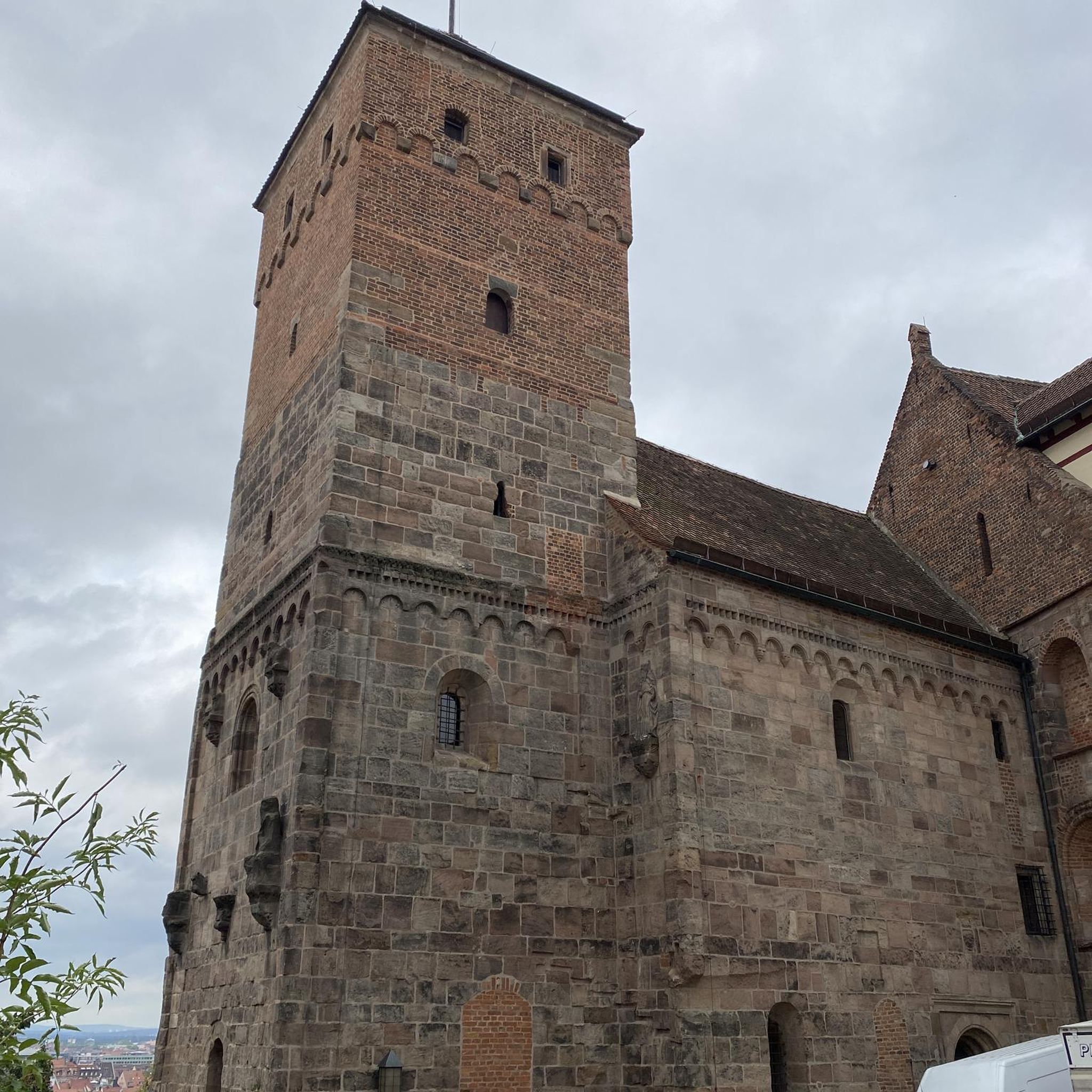
Gravel biking around Villar-Saint-Pancrace
Other adventures around Villar-Saint-Pancrace

Tips from the Community

From the summit at 3,024 meters, you have a fantastic view of many high mountains and glaciers. It's a remote and pristine landscape that is truly impressive.
0
0

One of the most beautiful climbs in the French Alps.
16
0
Hotel with typical mountain features.
19
0

Beautiful view at the highest point!
0
0

Small but effective refreshment point along the road leading to Col d'Izoard.
1
0

The Col de l'Izoard is one of the most emblematic passes in France. Regularly used by the Tour de France, it offers two legendary and difficult climbs which lead to an altitude of 2,360 meters.
0
0


Good but not cheap food. Friendly staff on a cozy terrace. Large parking lot and the opportunity to take great pictures. Rooms are also offered.
3
0
Frequently Asked Questions
How many mountaineering routes are available around Villar-Saint-Pancrace?
There are 14 distinct mountaineering routes around Villar-Saint-Pancrace, offering a variety of experiences for different skill levels. The region is known for its rugged mountainous landscapes and proximity to Ecrins National Park.
What is the best time of year for mountaineering in Villar-Saint-Pancrace?
The best time for mountaineering in Villar-Saint-Pancrace generally depends on the specific route and conditions. The region offers diverse terrain, from high-alpine peaks to glacial valleys. While summer provides access to most high-altitude routes, autumn can offer stable weather and stunning larch forests. Winter transforms the area into a hub for ski touring and snowshoeing, particularly in the nearby Briançonnais region.
Are there any moderate mountaineering routes suitable for those looking for a challenge without extreme difficulty?
Yes, there are 3 moderate mountaineering routes around Villar-Saint-Pancrace. One popular option is the Le Collet loop from Arvieux, which is 9.5 km long and typically takes around 3 hours 14 minutes to complete, leading through varied alpine scenery.
What kind of natural attractions can I expect to see along the mountaineering routes?
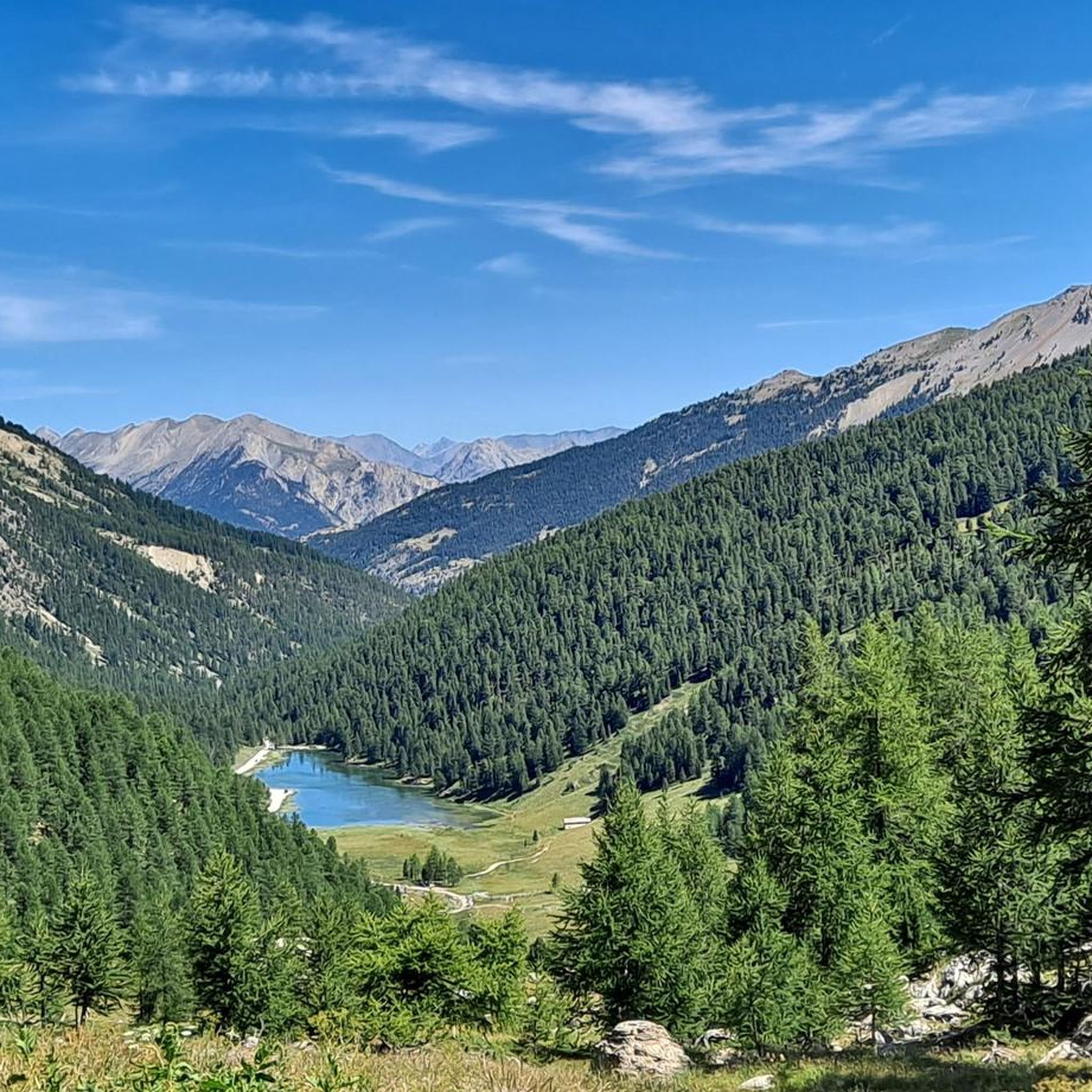
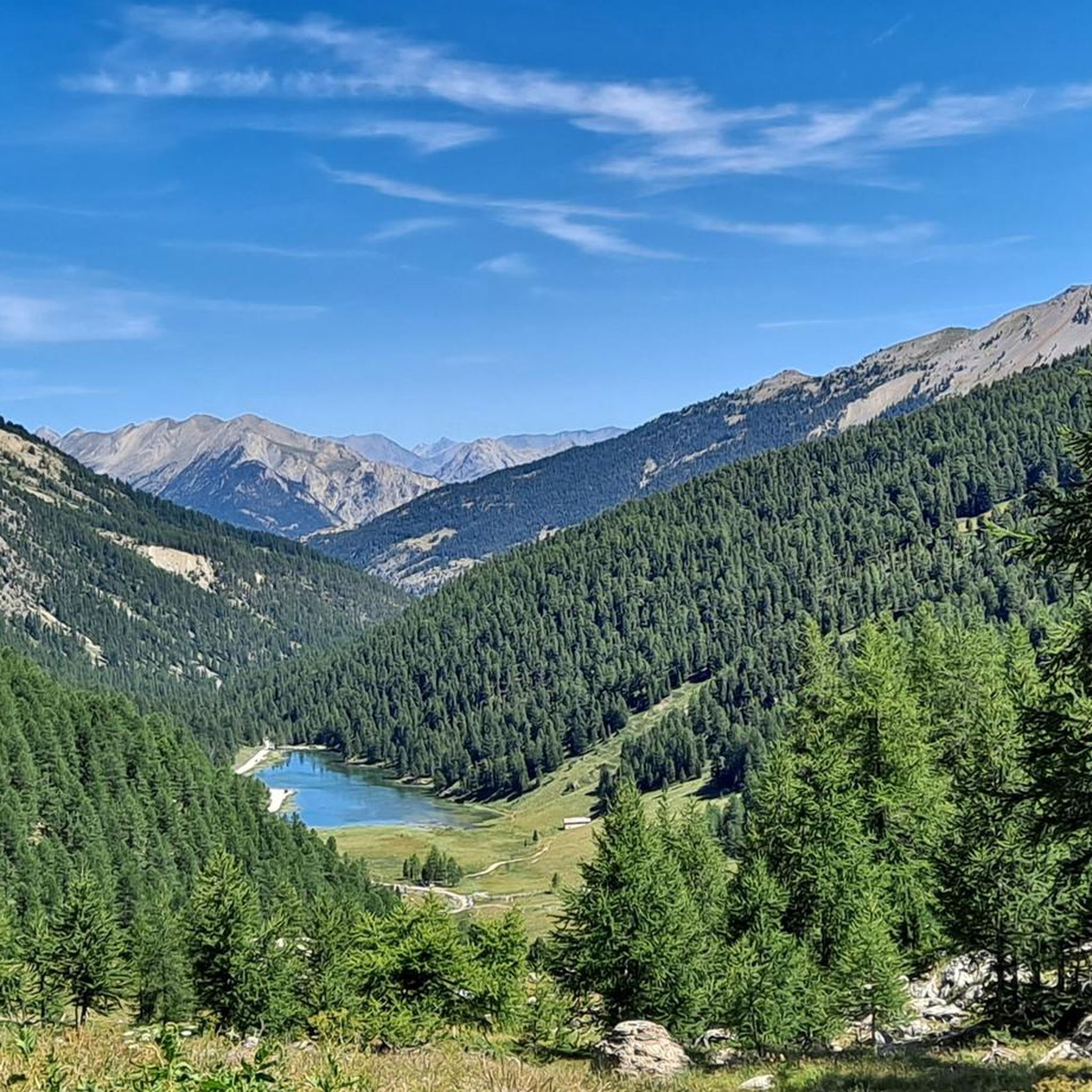
The region around Villar-Saint-Pancrace is rich in natural beauty. You can encounter glacial lakes like Lac de l'Orceyrette, extensive larch and ancient pine forests such as the Bois des Ayes, and significant peaks. Highlights include the stunning Lac Gignoux (Lake of Seven Colours) and the unique geological formations of La Casse Déserte.
Are there any circular mountaineering routes available?
Yes, many routes in the area are circular, allowing you to start and end at the same point. Examples include the challenging Rochebrune Peak loop from Col d'Izoard, which offers panoramic views, or the Col de Chaude Maison loop from Cervières, known for its significant elevation gain.
What do other mountaineers say about the routes in Villar-Saint-Pancrace?
The mountaineering routes around Villar-Saint-Pancrace are highly rated by the komoot community, with an average score of 4.7 out of 5 stars from over 18 reviews. Mountaineers often praise the diverse terrain, from high-alpine peaks to glacial valleys, and the challenging yet rewarding experiences offered by the trails.
Are there any particularly challenging mountaineering routes for experienced climbers?
Absolutely. The region is known for its difficult terrain, with 11 out of 14 routes rated as difficult. For experienced mountaineers, the Chalet de Clapeyto – Clapeyto Alpine Chalets loop from Arvieux is a demanding 15.2 km path with significant elevation, offering a true high-alpine experience.
What kind of landmarks or points of interest can be found near the mountaineering trails?
Beyond natural features, the area boasts several interesting landmarks. You can explore historical sites like Briançon Castle or Lebrun Castle. For stunning vistas, consider routes near viewpoints such as The Eagle Rock - il Colletto Verde.
What are the typical elevations encountered on mountaineering routes in this region?
Mountaineering routes around Villar-Saint-Pancrace feature significant elevation changes, with the region itself ranging from 1,160 to 2,903 meters. Many routes involve substantial ascents, with some difficult trails gaining over 1,000 meters in elevation, providing a true high-alpine experience.
Are there any shorter, yet still challenging, mountaineering options?
Yes, if you're looking for a shorter but still difficult mountaineering experience, consider the Le Collet loop from Crête de Combe la Roche. This route is approximately 3.7 km long and is rated as difficult, offering a concentrated challenge within a shorter timeframe.
What makes Villar-Saint-Pancrace a good base for mountaineering?
Villar-Saint-Pancrace is an ideal base due to its strategic location in the Hautes-Alpes, offering direct access to diverse and rugged mountainous landscapes. It's particularly close to the Ecrins National Park, renowned as a 'second Mecca of mountaineering in France,' providing a wide range of terrain for alpine races, technical climbing, and high mountain expeditions.
Most popular routes around Villar-Saint-Pancrace
Most popular attractions around Villar-Saint-Pancrace

Get inspired with the komoot mobile app


Explore more
Browse the best Mountain Hikes & Routes in other regions.
