The best mountain hikes around La Salle-Les-Alpes
5.0
(21)
141
hikers
23
hikes
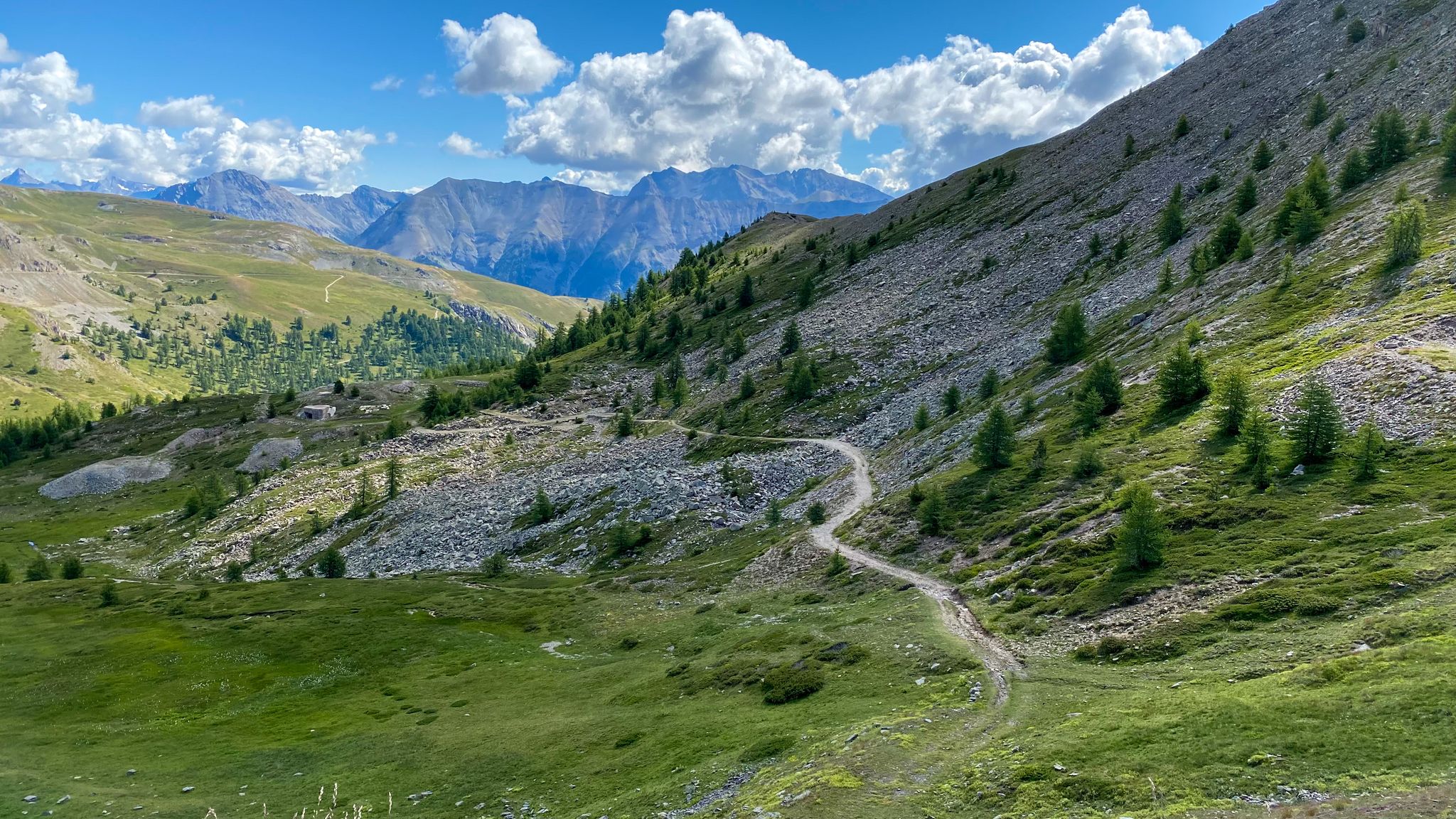
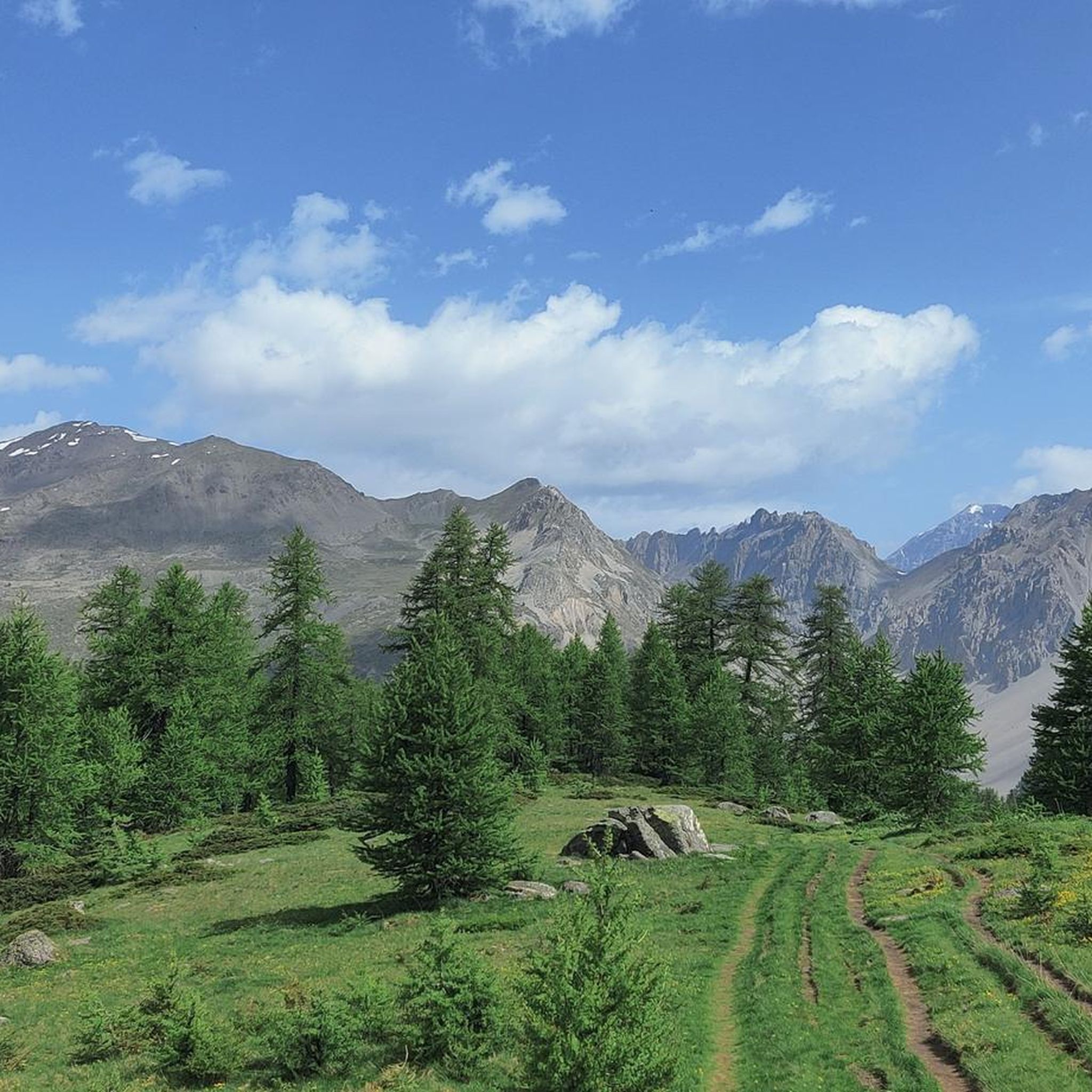
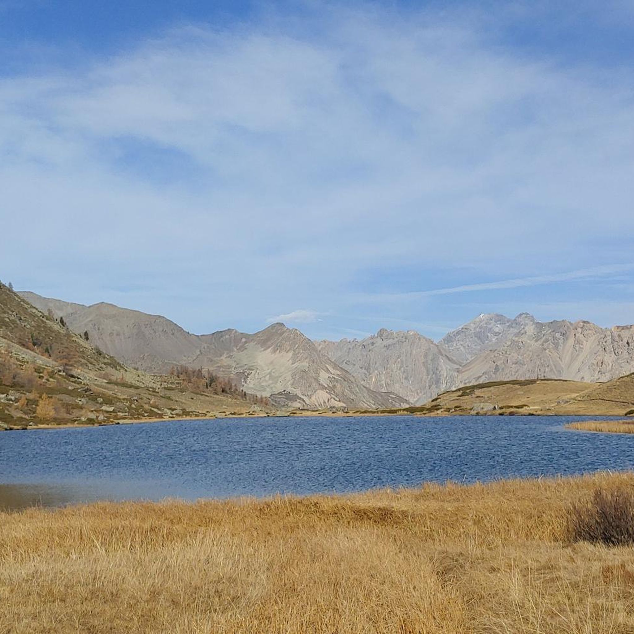
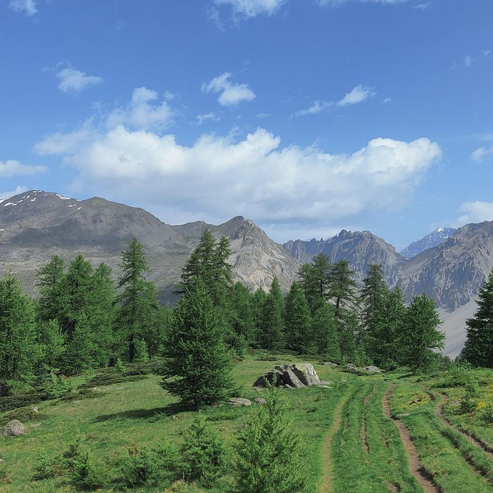
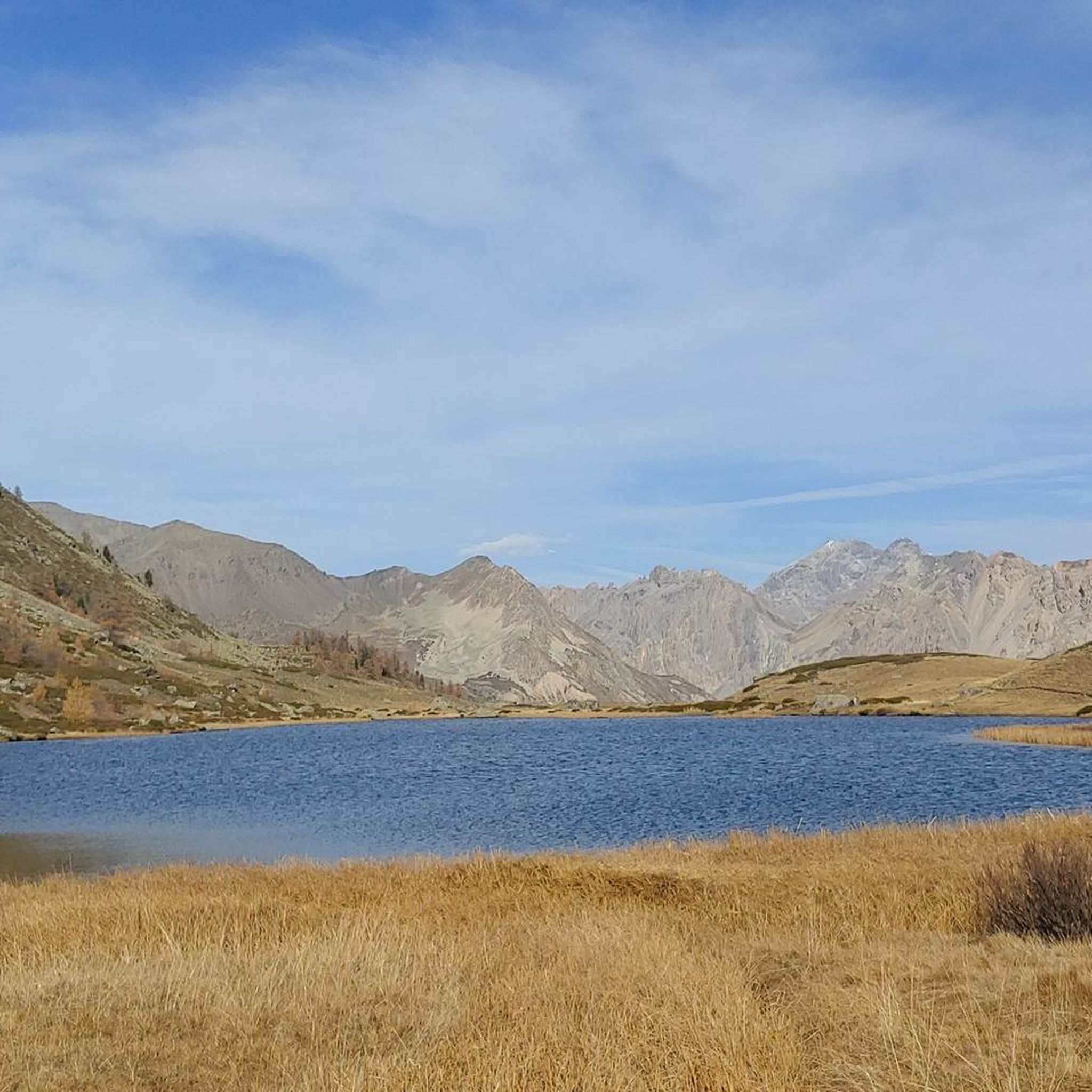
Mountaineering around La Salle-Les-Alpes offers access to a diverse alpine landscape characterized by high mountain passes, glacial lakes, and rocky peaks. The region features a network of trails that traverse both open alpine meadows and forested valleys, providing varied terrain for ascents and descents. Elevations range significantly, with many routes leading to panoramic viewpoints above the tree line. The area is known for its challenging high-altitude paths, suitable for experienced mountaineers.
Best mountaineering routes around La Salle-Les-Alpes
- The most popular…
Last updated: July 1, 2026
14
hikers
14.3km
06:50
1,080m
1,080m
Hard mountaineering route. Very good fitness required. Sure-footedness, sturdy shoes and alpine experience required.
5.0
(2)
13
hikers
13.5km
05:35
760m
760m
Hard mountaineering route. Very good fitness required. Mostly accessible paths. Sure-footedness required.

Sign up for free
4
hikers
15.2km
07:08
1,080m
1,080m
Hard mountaineering route. Very good fitness required. Sure-footedness, sturdy shoes and alpine experience required.
5.0
(2)
5
hikers
5.31km
01:45
160m
160m
Moderate mountaineering route. Great for any fitness level. Mostly accessible paths. Sure-footedness required.
5.0
(1)
6
hikers
8.97km
03:12
490m
490m
Moderate mountaineering route. Good fitness required. Mostly accessible paths. Sure-footedness required.
Get access to more routes and recommendations from other explorers.
Sign up for free
Already have an account?
Our route recommendations are based on thousands of hikes, rides, and runs completed by other people on komoot.
Start today with a free account
Your next adventure awaits.
Login or Signup
Popular around La Salle-Les-Alpes

Other adventures around La Salle-Les-Alpes

Tips from the Community

A very charming mountain village in the expansive natural surroundings of the upper Vallee Claree
0
0


Very beautiful lake. Accessible with a dog, from the lake the path goes through the heart of the Ecrins, dogs are then prohibited even on a leash. The signage is well done at the top.
0
0

Beautiful village in the Clarée valley.
15
0
Getting to the top is quite a challenge.
20
1
Challenging climb, the gradients are almost always in double figures.
18
1
A tough climb in 11 km, you gain approximately 1100 m of elevation gain.
18
0
Very tough climb with gradients almost always in double figures.
17
0
Frequently Asked Questions
What kind of mountaineering routes can I find around La Salle-Les-Alpes?
The region offers a diverse alpine landscape with high mountain passes, glacial lakes, and rocky peaks. You'll find a network of trails traversing both open alpine meadows and forested valleys. While many routes are challenging, there are also moderate options available.
Are there any easier mountaineering routes suitable for beginners or families?
While many routes around La Salle-Les-Alpes are rated difficult, there are a few moderate options. For instance, the Lac du Serpent loop from Névache - Fontcouverte is a moderate 5.8-mile path that navigates through a scenic valley. Another moderate choice is the Col du Granon (2,413 m) – Col du Granon summit loop from Col de Granon, which is shorter at 3.3 miles.
What are some of the more challenging mountaineering routes in the area?
For experienced mountaineers seeking a challenge, routes like The Lake loop from Chambran offer a difficult 7.0-mile trail with views of alpine lakes and surrounding peaks. Another demanding option is the Lake Laramon – Serpent Lake loop from Névache - Fontcouverte, an 8.8-mile trail through high alpine terrain and past multiple lakes.
When is the best time of year for mountaineering around La Salle-Les-Alpes?
The prime season for mountaineering in this alpine region is typically from late spring to early autumn (June to September), when trails are generally free of snow and weather conditions are more stable. Always check local weather forecasts and trail conditions before heading out, especially at higher elevations.
Are there any circular mountaineering routes available?
Yes, many of the routes in the area are designed as loops, allowing you to start and end at the same point. Examples include the popular The Lake loop from Chambran, the Lac du Serpent loop from Névache - Fontcouverte, and the longer Lake Laramon – Lake Cula loop from Névache - Fontcouverte.
What kind of natural attractions or landmarks can I expect to see along the routes?
Mountaineering routes around La Salle-Les-Alpes often feature stunning natural beauty. You can expect to encounter numerous alpine lakes, such as Lake Douche, and traverse high mountain passes like Col du Granon (2,413 m). The region is also dotted with traditional settlements like the Granges of the Narrow Valley and mountain refuges such as Rifugio Re Magi.
What do other mountaineers say about the routes in La Salle-Les-Alpes?
The routes in La Salle-Les-Alpes are highly rated by the komoot community, with an average score of 5.0 stars from around 30 reviews. Mountaineers often praise the challenging ascents, the breathtaking alpine lakes, and the panoramic views from high mountain passes.
Are the mountaineering routes around La Salle-Les-Alpes dog-friendly?
While many trails in the French Alps are generally accessible for dogs, it's always best to check specific regulations for national parks or protected areas you might enter. Always keep your dog on a leash, especially in areas with livestock or wildlife, and ensure you carry enough water for both of you.
How many mountaineering routes are available in total around La Salle-Les-Alpes?
There are over 25 mountaineering routes available around La Salle-Les-Alpes, offering a wide range of options for different skill levels and preferences, though most are rated as difficult.
What are the typical elevation gains on these mountaineering routes?
The elevation gains vary significantly across the routes. For example, a difficult route like the Lake Laramon – Serpent Lake loop from Névache - Fontcouverte involves over 1000 meters (3,280 feet) of ascent, while a moderate route such as the Col du Granon (2,413 m) – Col du Granon summit loop from Col de Granon has a more modest gain of around 160 meters (525 feet).
Are there any mountain huts or refuges along the trails for overnight stays or refreshments?
Yes, you can find mountain huts in the vicinity that can serve as points for refreshment or overnight stays. Notable examples include Rifugio Re Magi and Terzo Alpini Refuge. It's advisable to check their opening times and make reservations, especially during peak season.
Most popular routes around La Salle-Les-Alpes
Most popular attractions around La Salle-Les-Alpes

Get inspired with the komoot mobile app


Explore more
Browse the best Mountain Hikes & Routes in other regions.
