The best mountain hikes around Puy-Saint-André
5.0
(11)
45
hikers
8
hikes
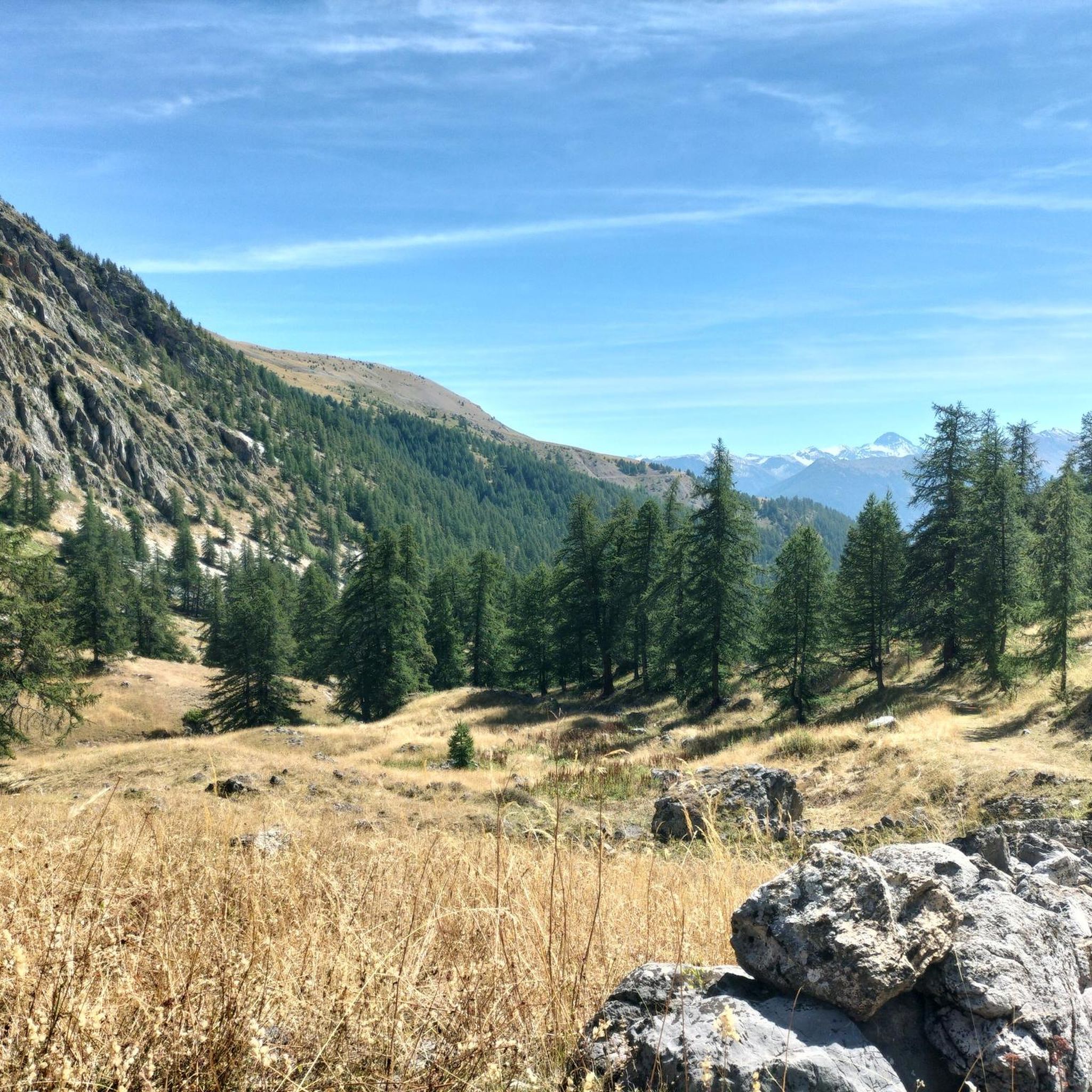
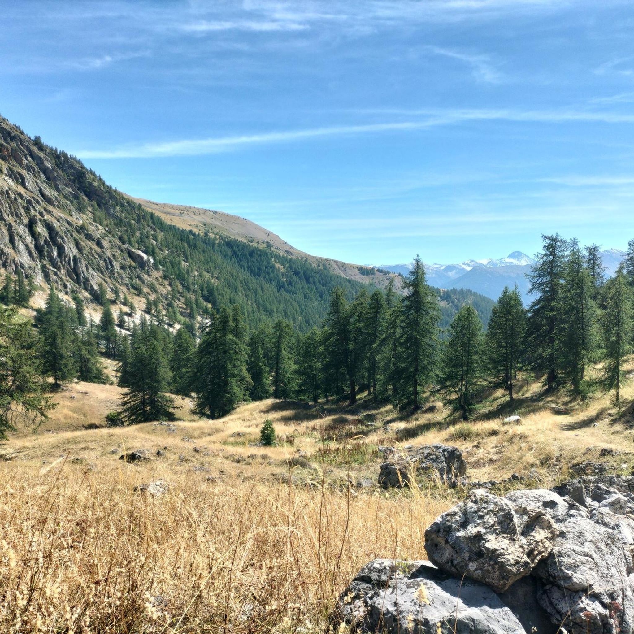
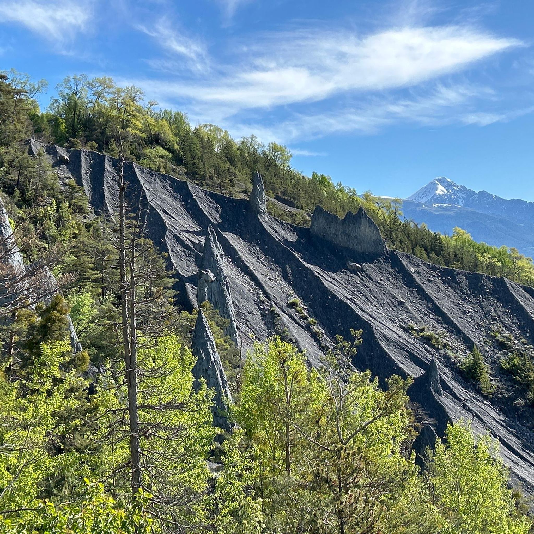
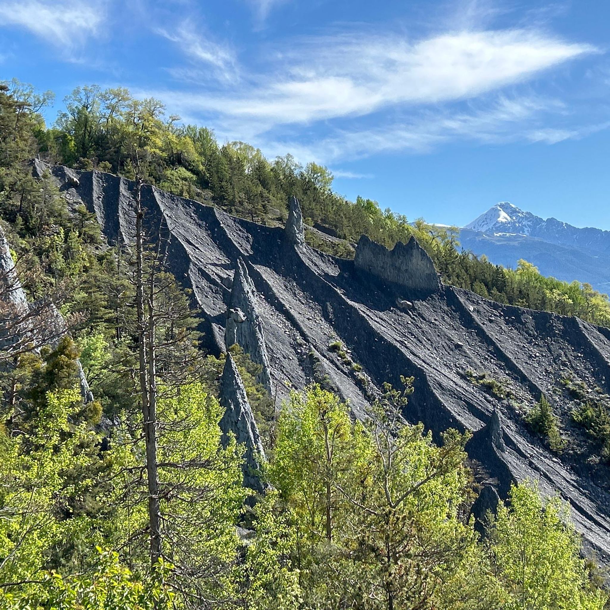
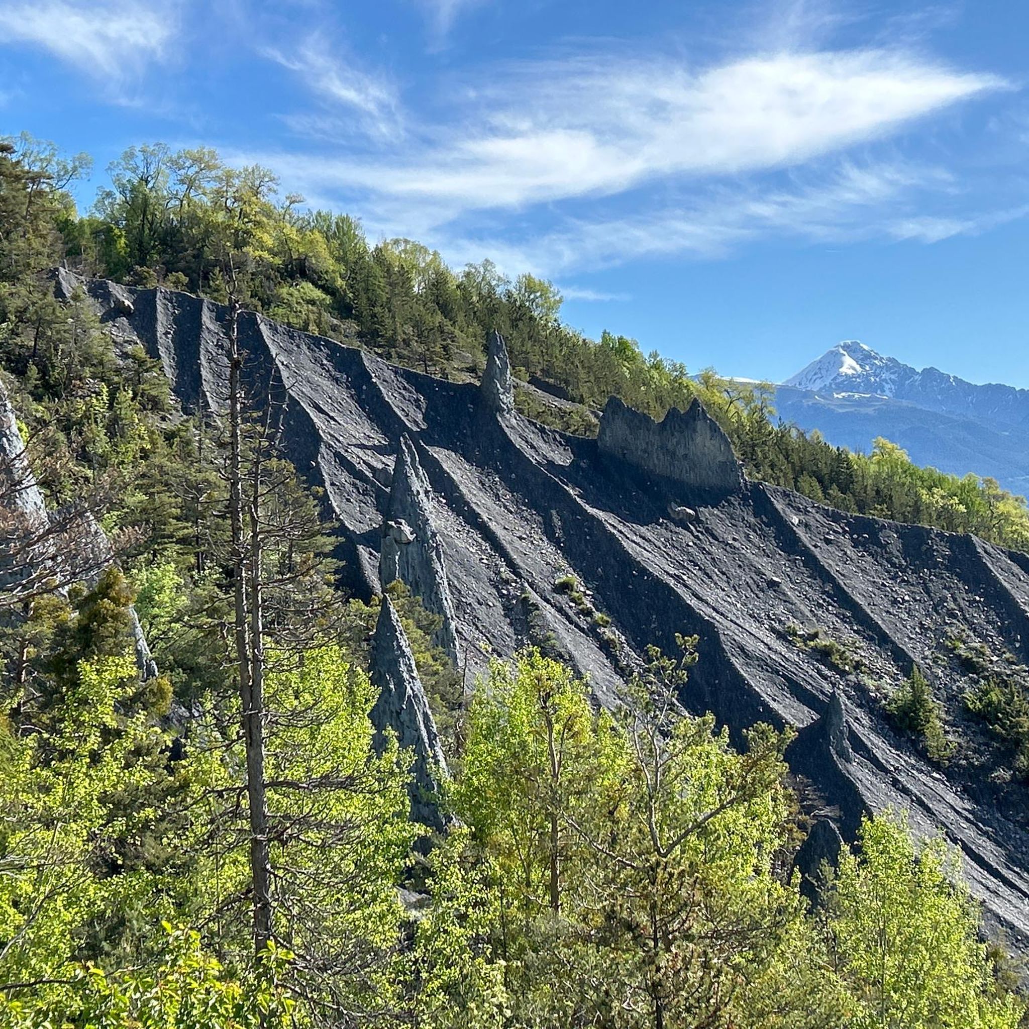
Mountaineering routes around Puy-Saint-André are set amidst the Southern French Alps, characterized by dramatic peaks, deep valleys, and diverse rock formations. The region is home to the Écrins National Park, featuring iconic summits like the Barre des Écrins and extensive glacier runs. Landscapes include larch forests, high plateaus, and alpine lakes, offering varied terrain for high-mountain activities. The area provides a full spectrum of mountaineering disciplines, from rock climbing on limestone and granite to ridge traverses and glacier expeditions.
Best…
Last updated: July 1, 2026
5.0
(2)
9
hikers
13.9km
07:36
1,310m
1,310m
Hard mountaineering route. Very good fitness required. Sure-footedness, sturdy shoes and alpine experience required.
5.0
(1)
6
hikers
12.5km
07:38
1,540m
1,540m
Hard mountaineering route. Very good fitness required. Mostly accessible paths. Sure-footedness required.

Sign up for free
5.0
(2)
5
hikers
5.31km
01:45
160m
160m
Moderate mountaineering route. Great for any fitness level. Mostly accessible paths. Sure-footedness required.
5.0
(1)
4
hikers
6.99km
03:40
600m
600m
Hard mountaineering route. Good fitness required. Sure-footedness, sturdy shoes and alpine experience required.
6
hikers
16.6km
06:00
1,030m
1,030m
Hard mountaineering route. Very good fitness required. Easily-accessible paths. Suitable for all skill levels.
Get access to more routes and recommendations from other explorers.
Sign up for free
Already have an account?
Our route recommendations are based on thousands of hikes, rides, and runs completed by other people on komoot.
Start today with a free account
Your next adventure awaits.
Login or Signup
Tips from the Community

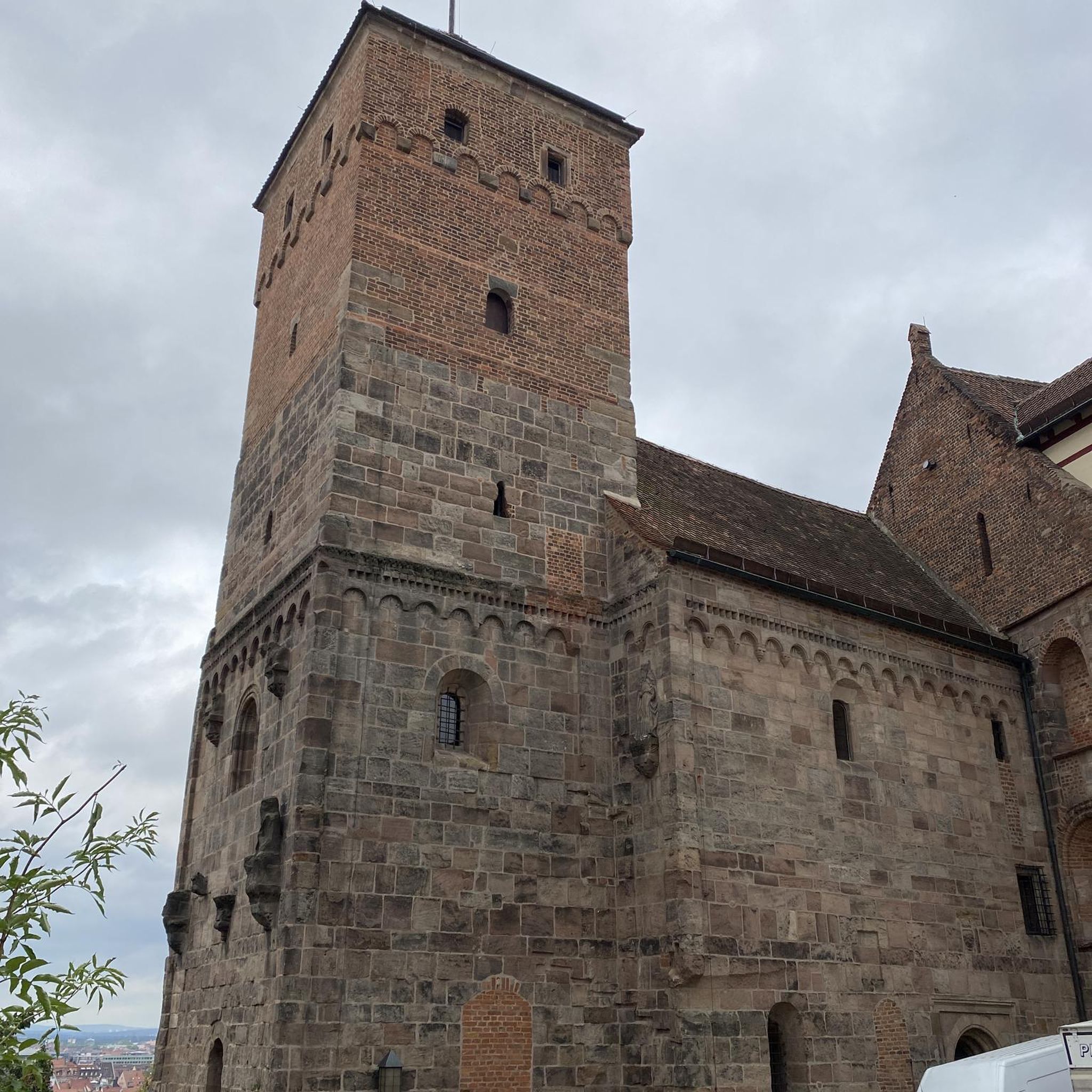
Very beautiful and characteristic village inside the fortification
0
0

The Tête d'Amont is one of the most striking peaks in the Écrins. It rises steeply and impressively above the Vallouise valley, with a massive, almost vertical limestone face rising from the landscape like a massive wall. From its high flanks and summit, spectacular views unfold across the entire Montbrison and Écrins massifs.
0
0

Impressive 360° panorama! A short technical section with a handrail just before reaching the summit, but it's definitely worth it! Avoid in wet weather; the technical section includes stone slabs polished by the passage, which are already a little slippery when dry.
0
0

Climb up above Briançon and you can reach the cross by via ferrata or on foot. If it's very hot, you can go there at night, or why not, like us, on the evening of July 14th, admire the fireworks from up there and then come back down with your headlamp!
0
0

Getting to the top is quite a challenge.
20
1
Challenging climb, the gradients are almost always in double figures.
18
1
A tough climb in 11 km, you gain approximately 1100 m of elevation gain.
18
0
Very tough climb with gradients almost always in double figures.
17
0
Frequently Asked Questions
How many mountaineering routes are available around Puy-Saint-André?
There are over 10 distinct mountaineering routes around Puy-Saint-André listed on komoot. These routes cater to various skill levels, with 3 considered moderate and 9 classified as difficult, offering a range of challenges for experienced mountaineers.
Are there any moderate mountaineering routes suitable for those looking for a less strenuous climb?
Yes, while many routes are challenging, there are moderate options available. For instance, the View of Clot de la Siva loop from Les Vigneaux is a moderate 10 km trail that offers beautiful views without the extreme demands of some other climbs. Another moderate option is the Col du Granon (2,413 m) – Col du Granon summit loop from Col de Granon, which is a shorter 5.3 km route.
What kind of natural features and viewpoints can I expect to see on these routes?
The mountaineering routes around Puy-Saint-André offer breathtaking natural features. You'll encounter dramatic peaks of the Écrins massif, high-altitude valleys, and diverse rock formations. Many routes provide panoramic views, such as the Cairn de La Blanche – Spectacular vieuw loop from Vallouise, which is known for its expansive vistas. The region also features larch forests, plateaus like Oréac, and alpine lakes, including Lake Pré Rouge at 2000m.
What is the best time of year for mountaineering in Puy-Saint-André?
Puy-Saint-André benefits from around 300 days of sunshine annually, making for an extended climbing season compared to the Northern Alps. While summer offers ideal conditions for high-altitude treks and glacier runs, the shoulder seasons (late spring and early autumn) can also be excellent, with stable weather and fewer crowds. Always check local conditions and forecasts, especially for higher elevations.
Are there any circular mountaineering routes available?
Yes, several routes are designed as loops, allowing you to start and finish at the same point. A popular example is The Lake loop from Chambran, a difficult 11.2 km trail that takes you through stunning alpine landscapes. Another challenging circular option is the Tête d'Amont loop from Puy-Saint-Vincent, covering 12.5 km through high mountain terrain.
What do other mountaineers say about the routes in Puy-Saint-André?
The mountaineering routes in Puy-Saint-André are highly regarded by the komoot community, holding an impressive average rating of 4.9 out of 5 stars from over 20 reviews. Mountaineers frequently praise the rugged peaks of the Écrins massif, the diverse terrain, and the challenging yet rewarding nature of the climbs.
Are there any notable landmarks or points of interest near the mountaineering trails?
Yes, the region is rich in natural and historical landmarks. You can explore the historic Briançon Castle, a UNESCO World Heritage site, or visit serene alpine lakes such as Lac de l'Eychauda or Lake Orceyrette. For panoramic views, consider visiting Tête d'Oréac or the Plateau de Chambran.
What types of rock climbing are available in the Hautes-Alpes region?
The Hautes-Alpes, often called the Southern Alps or the Ecrins, offers a wide variety of rock types for climbing. You'll find limestone, conglomerate, quartz, gabbro, and granite, providing diverse styles of rock climbing. This includes bouldering at Ailefroide, multi-pitch routes (Grandes Voies), and ridge traverses (Courses d'arêtes), with thousands of routes across all grades.
Is it possible to find guided mountaineering expeditions in the area?
Yes, for both beginners and experienced climbers, qualified and experienced UIAGM high mountain guides are readily available in the region. They can enhance your mountaineering experience and ensure safety, whether you're tackling challenging peaks or exploring glacier runs on summits like Roche Faurio or the Barre des Écrins.
Are there any specific areas known for their natural beauty or tranquility?
Absolutely. The Narreyroux valley is renowned for its snow-covered alpine chalets and panoramic views of the Écrins massif. The Oréac plateau and Pré Rouge are also celebrated for their calm and beauty, nestled amidst larch forests. Lake Pré Rouge, situated at 2000m, offers a tranquil setting with views of the Pelvoux Glacier.
What is the typical duration for a difficult mountaineering route in this area?
Difficult mountaineering routes around Puy-Saint-André can vary significantly in duration depending on distance, elevation gain, and terrain. For example, the Lake loop from Chambran typically takes around 5 hours and 9 minutes to complete, while the Tête d'Amont loop from Puy-Saint-Vincent often requires about 7 hours and 38 minutes due to its greater elevation gain.
Most popular routes around Puy-Saint-André
Most popular attractions around Puy-Saint-André

Get inspired with the komoot mobile app


Explore more
Browse the best Mountain Hikes & Routes in other regions.
