The best walks and hikes around La Bouilladisse
4.5
(855)
5,723
hikers
283
hikes
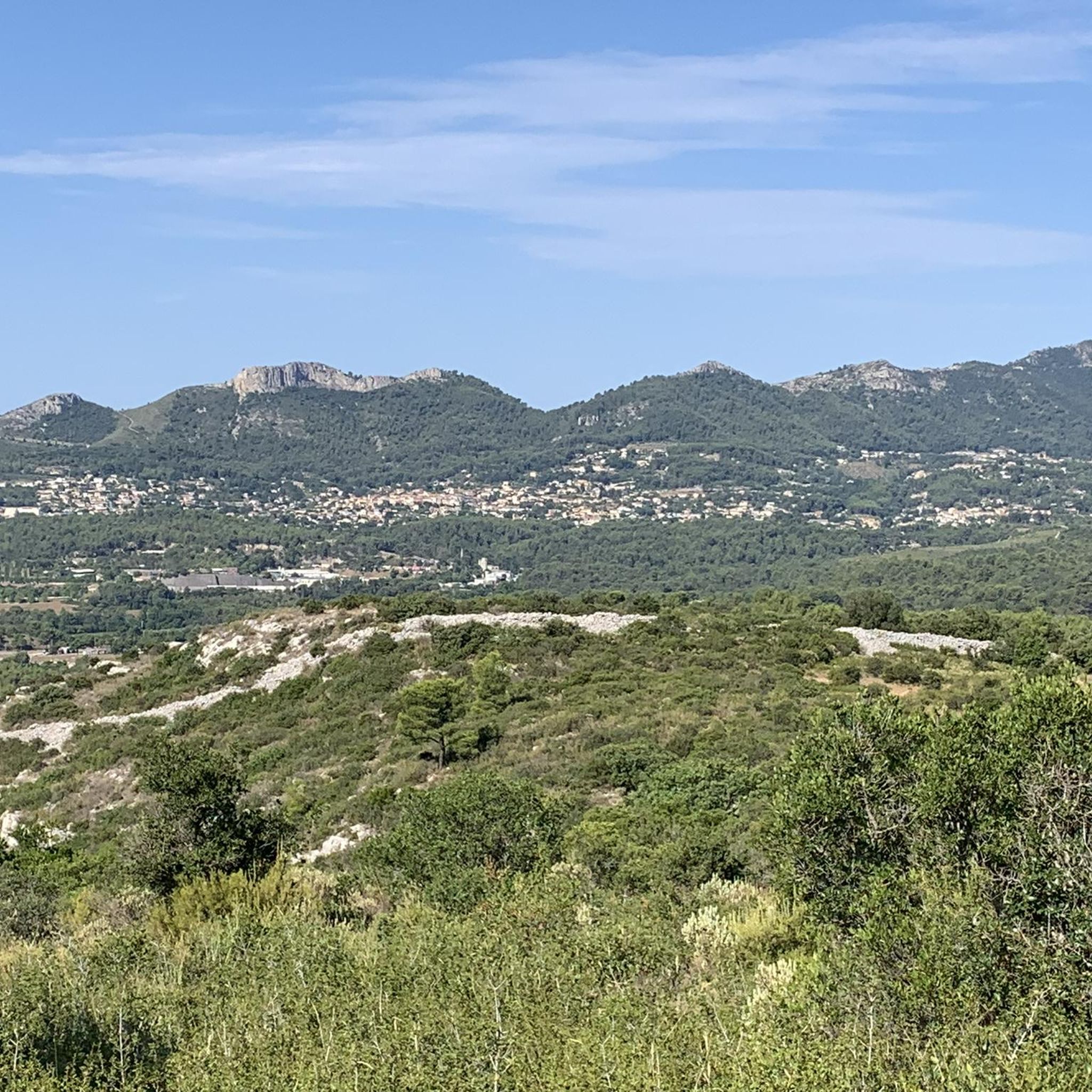
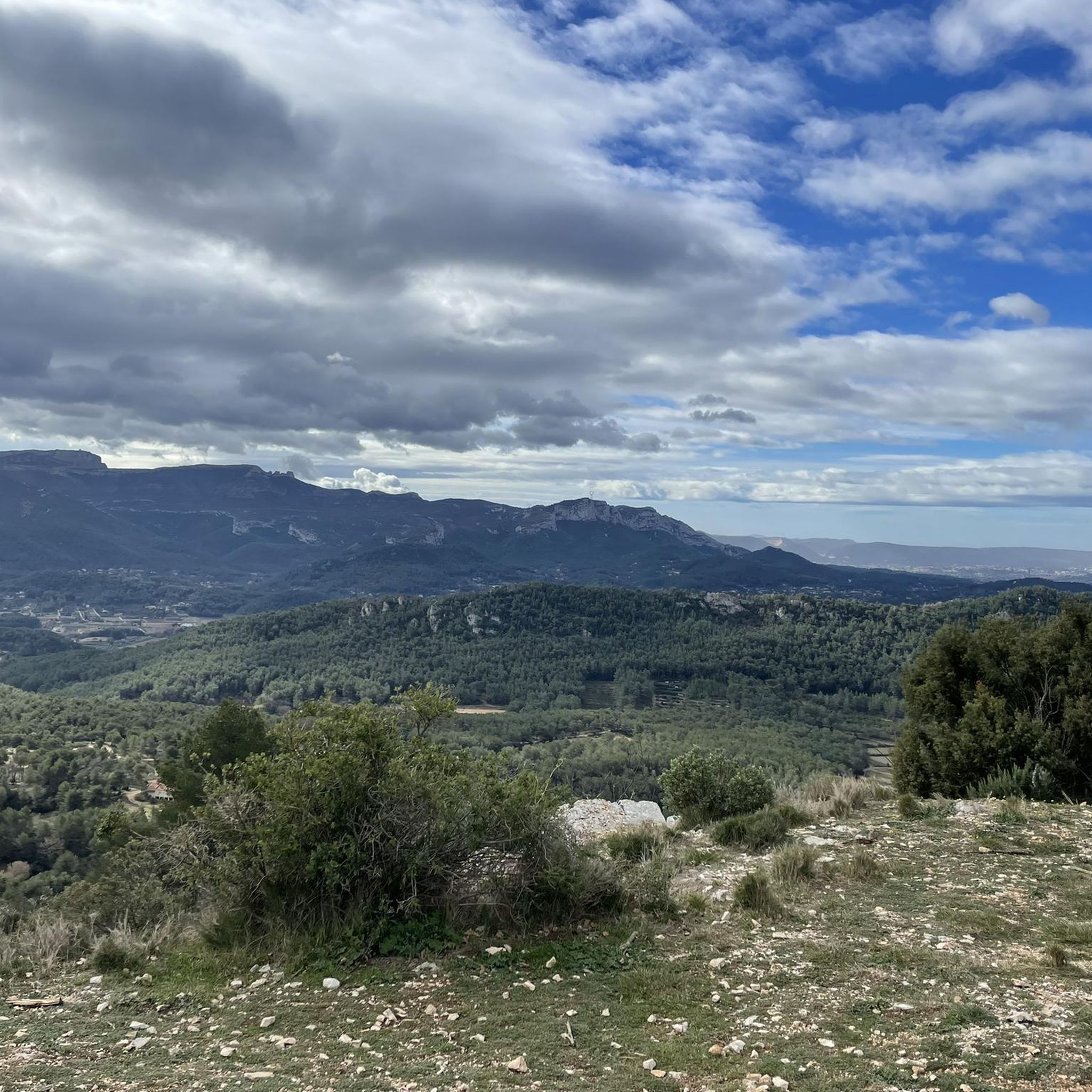
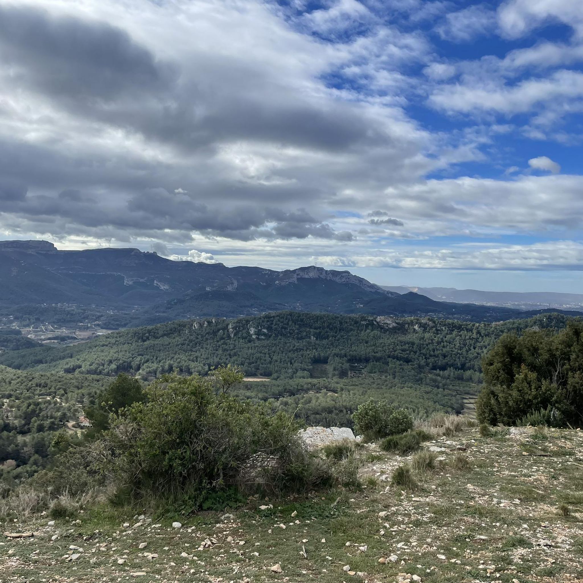
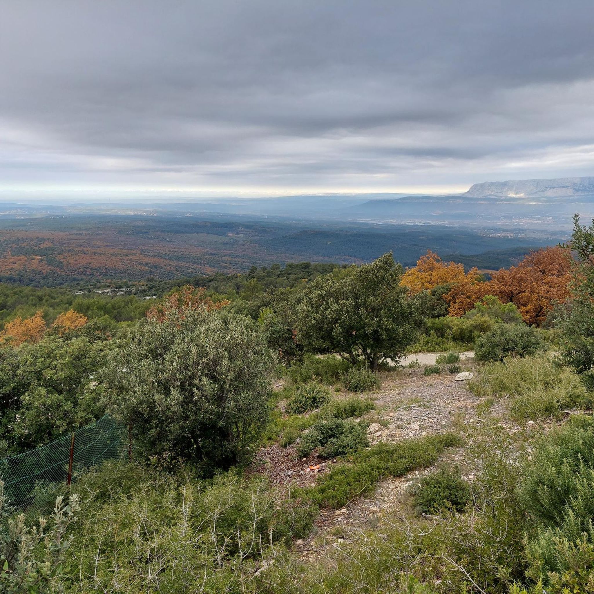
Hiking around La Bouilladisse provides access to the diverse landscapes of Provence. The region is characterized by rolling hills, dense Mediterranean woodlands, and occasional rocky outcrops. These natural features create varied terrain for outdoor activities. Trails often traverse through pine forests and open scrubland, typical of the Provençal countryside.
Best hiking trails around La Bouilladisse
- The most popular hiking route is Descendants – Le Tombereau loop from Clos Doria, a 9.7 miles (15.7 km) trail that takes 4 hours 21 minutes to complete. This moderate loop offers varied terrain through local woodlands.
- Another top favourite among local hikers is Le Pigeonnier Climb – View from the Vigie loop from Belcodène, a moderate 9.5 miles (15.2 km) path. This route includes a climb to a viewpoint, providing expansive vistas of the surrounding area.
- Local hikers also love the Le Regagnas – View from the Vigie loop from Aubert, a 12.6 miles (20.3 km) trail leading through hilly terrain, often completed in about 6 hours 2 minutes.
- Hiking around La Bouilladisse is defined by rolling hills, dense woodlands, and rocky outcrops. The network offers options for easy, moderate, and difficult trails suitable for different ability levels.
- The routes in La Bouilladisse are highly rated by the komoot community with an average score of 4.5 stars from over 750 reviews. More than 5,000 hikers have used komoot to explore La Bouilladisse's varied terrain.
Last updated: June 25, 2026
4.5
(4)
21
hikers
15.7km
04:22
290m
290m
Moderate hike. Good fitness required. Easily-accessible paths. Suitable for all skill levels.
4.5
(4)
20
hikers
15.2km
04:14
280m
280m
Moderate hike. Good fitness required. Easily-accessible paths. Suitable for all skill levels.

Sign up for free
4.1
(10)
13
hikers
12.7km
03:40
310m
310m
Moderate hike. Good fitness required. Easily-accessible paths. Suitable for all skill levels.
3.5
(4)
15
hikers
13.5km
03:45
240m
240m
Moderate hike. Good fitness required. Easily-accessible paths. Suitable for all skill levels.
3.9
(7)
19
hikers
13.5km
03:54
330m
330m
Moderate hike. Good fitness required. Easily-accessible paths. Suitable for all skill levels.
Get access to more routes and recommendations from other explorers.
Sign up for free
Already have an account?
Our route recommendations are based on thousands of hikes, rides, and runs completed by other people on komoot.
Start today with a free account
Your next adventure awaits.
Login or Signup

Tips from the Community

A nice climb then a sign prohibiting entry with the fence wide open, right or not right....? ultimately it's worth going to see, beautiful 360° view
1
0

Hello! On this route from Trets, are there any passages passing through private homes with large dogs??
0
0


So unfortunate that the basin is empty because of the drought but it's super pretty
0
0

Stunning 360° view and departure of several singles with varied commitments
0
0

Rolling single with some very nice roots
2
0

Often used on the Tour de France route, this 715m summit offers breathtaking views, hidden until the last moment by the surrounding forest.
4
0

Frequently Asked Questions
How many hiking trails are available around La Bouilladisse?
There are over 270 hiking routes around La Bouilladisse. This includes a wide range of options, with approximately 80 easy trails, 150 moderate trails, and 35 difficult routes, catering to various fitness levels and preferences.
Are there any easy hiking trails suitable for beginners or families?
Yes, La Bouilladisse offers around 80 easy trails. While specific family-friendly routes aren't detailed, many of these shorter, less strenuous paths are ideal for a leisurely walk with children. For a moderate option that is not too long, consider the Sublime point de vue – Point sublime loop from Aubert, which is about 7.7 km.
What are the typical lengths and durations of hikes in the area?
Hikes around La Bouilladisse vary significantly. You can find shorter routes like the Sublime point de vue – Point sublime loop from Aubert, which is 7.7 km and takes around 2 hours 16 minutes. Longer, more challenging trails, such as the Le Regagnas – View from the Vigie loop from Aubert, can be over 20 km and require more than 6 hours to complete.
Are there any circular walking routes around La Bouilladisse?
Yes, many of the trails around La Bouilladisse are designed as loops. Examples include the popular Descendants – Le Tombereau loop from Clos Doria, a 15.7 km moderate route, and the Le Pigeonnier Climb – View from the Vigie loop from Belcodène, which is 15.2 km.
What kind of natural attractions or landmarks can I see while hiking?
The region around La Bouilladisse is rich in natural beauty and interesting landmarks. Hikers can explore areas leading to the Col de l'Espigoulier, discover the Source of the Huveaune, or even encounter the Engravings of Garlaban. Notable peaks like Bertagne Peak and Pilon du Roi also offer stunning views.
What do other hikers say about the trails in La Bouilladisse?
The trails in La Bouilladisse are highly regarded by the komoot community, holding an average rating of 4.5 stars from over 750 reviews. Hikers frequently praise the diverse terrain, from Mediterranean woodlands to rocky outcrops, and the well-maintained paths that offer varied experiences.
Is La Bouilladisse a good destination for less crowded hikes?
While popular, La Bouilladisse offers a vast network of over 270 trails. To find less crowded options, consider exploring some of the less-trafficked routes or hiking during off-peak hours or seasons. The sheer number of available paths increases the likelihood of finding a peaceful experience.
What is the best season for hiking around La Bouilladisse?
The Mediterranean climate of La Bouilladisse makes spring and autumn ideal for hiking, with pleasant temperatures and vibrant natural colors. Summer can be very hot, so early morning or late afternoon hikes are recommended, and winter offers cooler, crisp conditions, though some paths might be muddy after rain.
Are there any trails that offer significant viewpoints?
Yes, several trails provide expansive vistas. The Le Pigeonnier Climb – View from the Vigie loop from Belcodène is known for its climb to a viewpoint. Similarly, the Le Regagnas – View from the Vigie loop from Aubert also leads to scenic overlooks.
Are there any specific considerations for winter hiking in La Bouilladisse?
Winter hiking in La Bouilladisse generally offers cooler temperatures and clearer air. While snow is rare at lower elevations, paths can become muddy after rainfall. It's advisable to wear waterproof hiking boots and layered clothing. Always check local weather forecasts before heading out.
Where can I find parking for hiking trails in La Bouilladisse?
Many trailheads around La Bouilladisse, especially those starting from villages or popular access points, typically have designated parking areas. For specific routes like the Descendants – Le Tombereau loop from Clos Doria, parking is often available near the starting point mentioned in the route description, such as Clos Doria.
Most popular routes around La Bouilladisse
Most popular attractions around La Bouilladisse

Get inspired with the komoot mobile app


Explore more
Browse the best Hikes in other regions.
