The best walks and hikes around Limersheim
4.5
(1263)
6,038
hikers
245
hikes
Hiking around Limersheim offers access to diverse landscapes, from the tranquil Alsatian plain to the foothills of the Vosges mountains. The region is characterized by its proximity to the Rhine River floodplains, a network of canals, and agricultural areas. Hikers can explore flat, green landscapes, often following waterways or paths through rural settings.
Best hiking trails in Limersheim
- The most popular hiking route is Rhône–Rhine Canal – Canal Avenue loop from Nordhouse, a 6.8 miles (10.9 km) trail that…
Last updated: October 1, 2026
1.0
(2)
18
hikers
10.9km
02:46
20m
20m
Moderate hike. Good fitness required. Easily-accessible paths. Suitable for all skill levels.
8
hikers
7.57km
01:55
10m
10m
Easy hike. Great for any fitness level. Easily-accessible paths. Suitable for all skill levels.

5.0
(2)
8
hikers
5.84km
01:29
10m
10m
Easy hike. Great for any fitness level. Easily-accessible paths. Suitable for all skill levels.
4.4
(5)
25
hikers
20.0km
05:08
70m
70m
Hard hike. Very good fitness required. Easily-accessible paths. Suitable for all skill levels.
7
hikers
9.48km
02:24
20m
20m
Moderate hike. Good fitness required. Easily-accessible paths. Suitable for all skill levels.
Get access to more routes and recommendations from other explorers.
Already have an account?
Our route recommendations are based on thousands of hikes, rides, and runs completed by other people on komoot.
Start today with a free account
Your next adventure awaits.

Tips from the Community


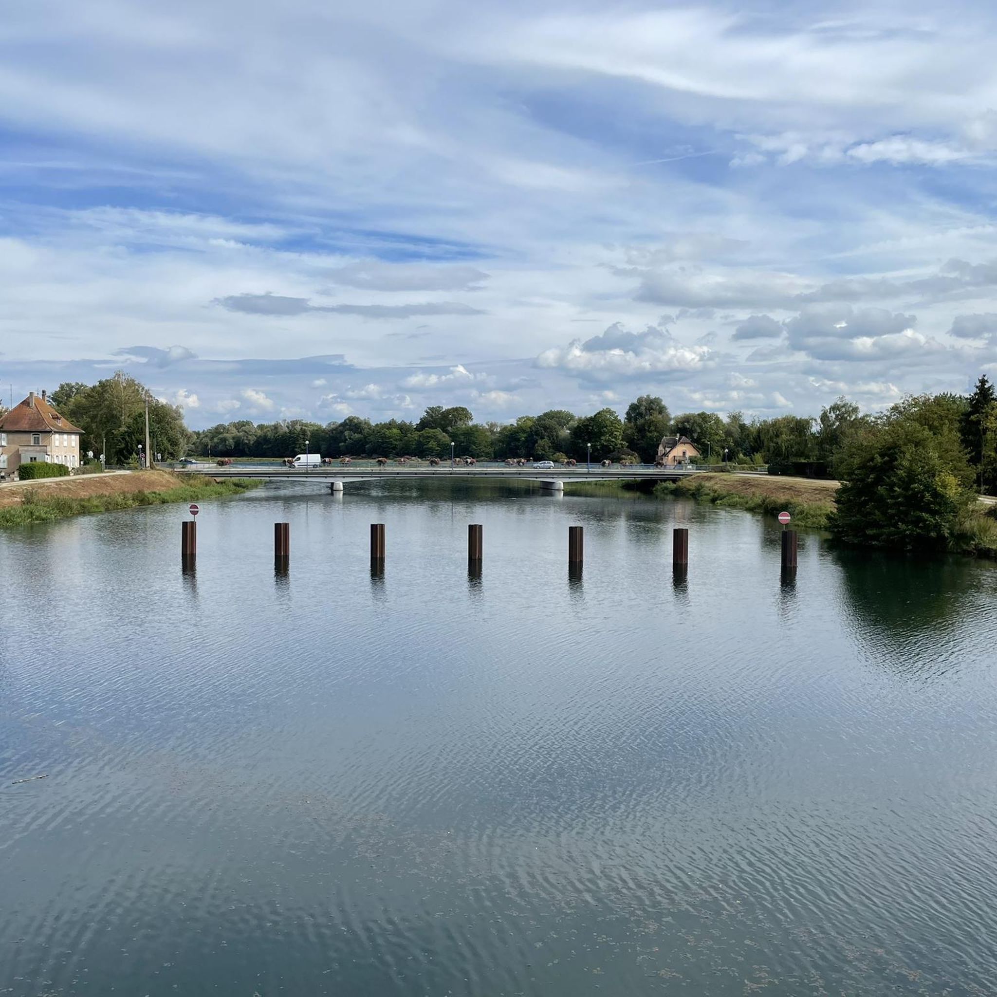
Here, the canal is bridged over the canal. Our French friends like to do this.
2
0

Super premium bike path. Easy to ride with no inclines. Pure cycling!
1
0
There are two tables with benches a little way off the path. Such rest locations are rather rare along the canal.
2
0

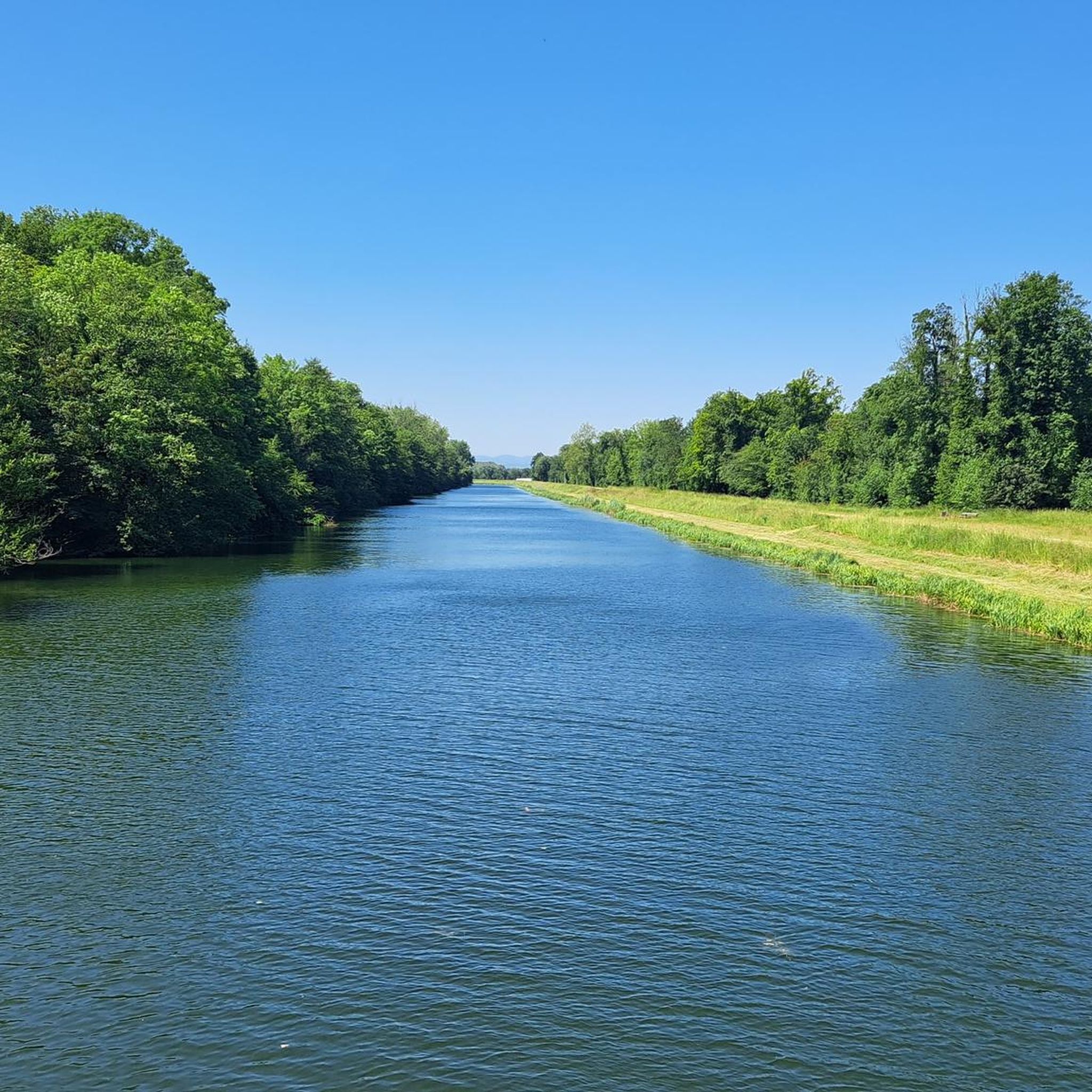
a beautiful path along the canal. There is also an avenue in this area.
7
1

Nice bike path along the canal. Mostly runs in the shade of the trees. You can find information about the channel here https://de.wikipedia.org/wiki/Rhein-Rh%C3%B4ne-Kanal
7
1

The Rhône–Rhine Canal (French: Canal du Rhône au Rhin) is one of the important watershed canals of the French waterways, connecting the Rhine to the Saône and the Rhône and thereby the North Sea and the Mediterranean. As built, the canal was made up of four distinct sections: the branche Sud or southern branch, 224 km (139 mi) from the Saône just north of Saint-Jean-de-Losne to the Île Napoléon basin and junction just east of Mulhouse; the branche Nord or northern branch, 134 km (83 mi) from the Mulhouse junction to the Dusuzeau basin at the port of Strasbourg; the 22 km (14 mi) long Canal de Huningue, from the junction to the Rhine at Huningue, just north of the Swiss port of Basle; and the 10 km (6.2 mi) long Belfort branch, which when built was to be the first section of the Canal de Montbéliard à la Haute-Saône. Source: Wikipedia
2
0
very nice view of the plain of Alsace
0
0
Frequently Asked Questions
How many hiking trails are there in Limersheim?
There are over 230 hiking routes available around Limersheim, offering a wide variety of options for different preferences and skill levels. These routes are highly rated by the komoot community, with an average score of 4.5 stars.
What kind of terrain can I expect on hikes near Limersheim?
Hikes around Limersheim primarily feature flat canal paths, tranquil riverine landscapes, and agricultural plains. You'll also find occasional forested sections, particularly along routes like the Forest Bridges loop from Lipsheim. The region offers a mix of paved and fine gravel paths, making many routes accessible and pleasant for walking.
What are the difficulty levels of hikes around Limersheim?
The hiking trails in Limersheim cater to various difficulty levels. You'll find over 120 easy routes, around 90 moderate trails, and about 20 more challenging options. This ensures there's a suitable hike whether you're looking for a relaxed stroll or a longer excursion.
What natural features or landmarks can I see while hiking near Limersheim?
While hiking, you can explore the tranquil landscapes of the Alsatian plain, characterized by its proximity to the Rhine River floodplains and a network of canals. Notable features include the Canal du Rhône au Rhin Tree-Lined Path and the Rhine–Rhône Canal Cycle Route, which offer peaceful walking opportunities. The region is also near the Parc Naturel Régional des Vosges du Nord, providing access to richer fauna and panoramic views.
Are there many circular hiking routes available?
Yes, many of the hiking routes around Limersheim are circular, allowing you to start and end your journey in the same location. Examples include the popular Rhône–Rhine Canal – Canal Avenue loop from Nordhouse and the Small Bridge Over the River loop from Hindisheim.
What is the typical duration of hikes in Limersheim?
Hikes in Limersheim vary in duration. Shorter, easy routes like the Forest Bridges loop from Lipsheim can be completed in about 1 hour 30 minutes. Moderate trails, such as the Rhône–Rhine Canal – Canal Avenue loop from Nordhouse, typically take around 2 hours 45 minutes. Longer, more difficult routes can extend to several hours.
What do other hikers enjoy the most about hiking in Limersheim?
The area is highly rated by the komoot community, with an average score of 4.5 stars from nearly 1,000 reviews. Hikers often praise the tranquil canal paths, the peaceful rural settings, and the accessibility of the trails. The diverse landscapes, from flat plains to forested sections, also contribute to a varied and enjoyable experience.
Are hiking trails around Limersheim dog-friendly?
Many trails in the Limersheim region, particularly those along canals and through rural areas, are suitable for walking with dogs. It's always recommended to keep dogs on a leash, especially when passing through agricultural lands or near wildlife habitats, and to check specific route details for any restrictions.
Are there family-friendly hiking options in Limersheim?
Yes, Limersheim offers numerous family-friendly hiking options, especially the easy and moderate routes. The flat terrain along the canals and rivers, such as the Small Bridge Over the River loop from Hindisheim, are ideal for families with children. These paths often provide a safe and enjoyable environment for all ages.
Is parking available for hikers in Limersheim?
Parking is generally available in and around Limersheim, particularly near trailheads or in the villages where many routes begin. It's advisable to check local signage for specific parking regulations and availability before starting your hike.
Can I reach hiking trails in Limersheim using public transport?
Limersheim and its surrounding villages are typically served by local public transport, which can provide access to various starting points for hiking trails. For specific routes, it's best to consult local bus schedules or regional transport information to plan your journey to the trailhead.
Are there places to eat or drink near the hiking trails?
Limersheim and the nearby charming Alsatian villages often have local cafes, bakeries, or restaurants where you can find refreshments. For example, the historic town of Obernai, a short distance away, offers a variety of dining options and can be a pleasant stop during a longer hiking excursion.
Most popular routes around Limersheim
Most popular attractions around Limersheim

Get inspired with the komoot mobile app


Explore more
Browse the best Hikes in other regions.
