The best walks and hikes around Targassonne
4.5
(3021)
30,594
hikers
532
hikes
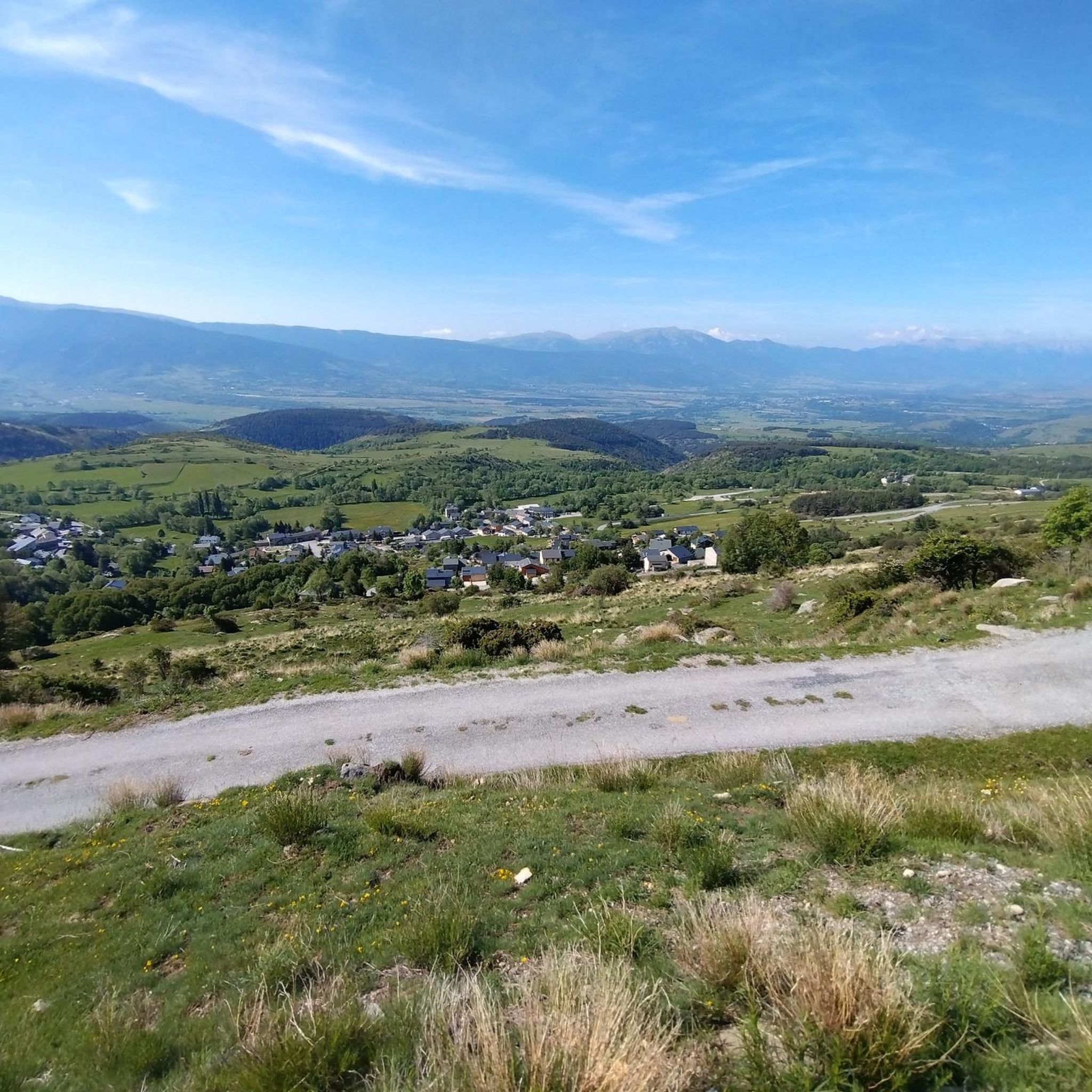
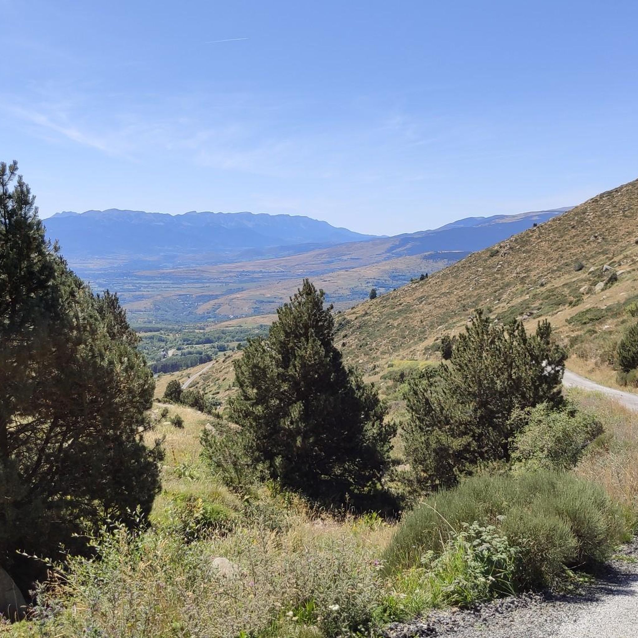
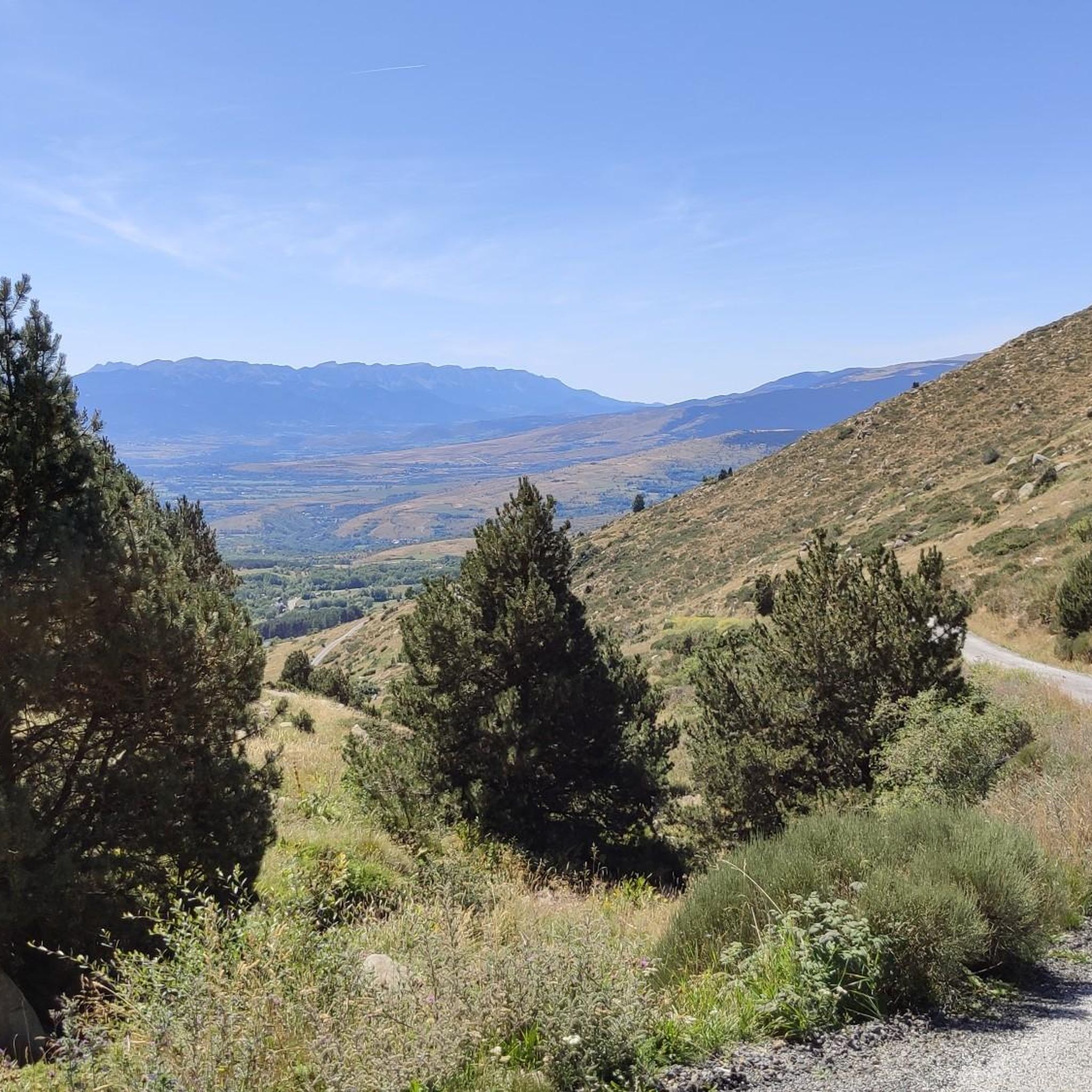
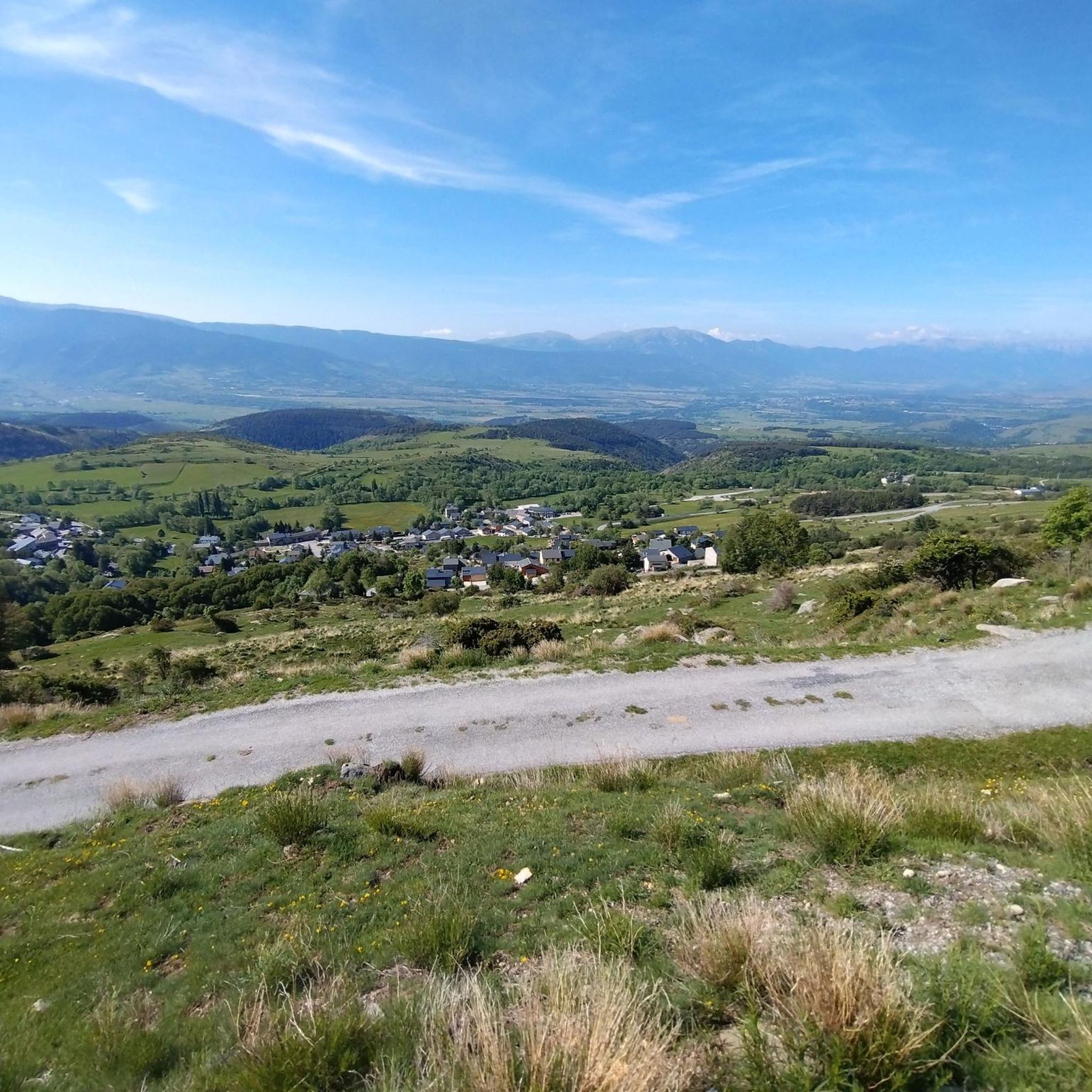
Hiking around Targassonne offers access to the high-altitude landscapes of the French Pyrenees, situated at approximately 1500 meters. The region is characterized by extensive granite boulder fields, high-altitude lakes, and prominent peaks. Hikers can expect to traverse green hills, dense forests, and diverse terrain, including rough, reddish-yellow granite rock formations.
Best hiking trails around Targassonne
- The most popular hiking route is Sulphur Spring – Salt d'Aigua loop from Targasonne, a 9.2 miles (14.9 km) trail that takes 4 hours…
Last updated: August 19, 2026
4.7
(13)
110
hikers
Hard hike. Very good fitness required. Mostly accessible paths. Sure-footedness required.
4.0
(2)
28
hikers
7.13km
02:14
290m
290m
Moderate hike. Good fitness required. Easily-accessible paths. Suitable for all skill levels.

Sign up for free
4.2
(12)
59
hikers
14.9km
04:30
490m
490m
Moderate hike. Good fitness required. Easily-accessible paths. Suitable for all skill levels.
4.5
(8)
36
hikers
14.9km
04:31
520m
520m
Moderate hike. Good fitness required. Easily-accessible paths. Suitable for all skill levels.
4.3
(9)
61
hikers
Easy hike. Great for any fitness level. Easily-accessible paths. Suitable for all skill levels.
Get access to more routes and recommendations from other explorers.
Sign up for free
Already have an account?
Our route recommendations are based on thousands of hikes, rides, and runs completed by other people on komoot.
Start today with a free account
Your next adventure awaits.
Login or Signup

Tips from the Community


This pass can be found in the middle of the roundabout of several streets. For me from Font-Romeau, it came from a descent. There must be one with the same name near Grenoble, but at a lower altitude.
5
0

Built in the 12th century, this Romanesque church was annexed to a small hospital intended for the shepherds of transhumant herds on the roads of Carlit, Bouillouses and Capcir. At the back of the nave there is a gallery accessible by a wooden staircase.
1
0
At 2,016 meters, this vast lake and its dam are ideally located for a refreshing break. In addition to the gîte and a refuge, there is also a small water fountain.
0
0
Frequently Asked Questions
How many hiking trails are available around Targassonne?
There are over 500 hiking trails around Targassonne, catering to various skill levels. You'll find a wide range of options, from easy strolls to challenging mountain ascents, exploring the high-altitude landscapes of the French Pyrenees.
What kind of terrain can I expect on hikes around Targassonne?
Hikes around Targassonne feature diverse terrain, including extensive granite boulder fields, green hills, and dense forests. You'll also encounter rough, reddish-yellow granite rock formations and numerous high-altitude lakes, characteristic of the Pyrenean landscape.
Are there easy hiking options suitable for beginners or families?
Yes, Targassonne offers many easy hiking options. For instance, the Croix d'Egat – Start Wanderweg loop from Égat is an easy 4.7 km path. Another family-friendly choice is the Sant Marti d'Enalls – Small Pond loop from Angoustrine-Villeneuve-des-Escaldes, a 6.4 km trail leading through green hills and past small ponds.
Are there challenging routes for experienced hikers seeking panoramic views?
Absolutely. For experienced hikers, the region offers challenging ascents like those leading to the iconic Summit of Pic Carlit, which towers at 2,921 meters. The View of Lac de Matemale – Lake Bouillouses loop from Angoustrine-Villeneuve-des-Escaldes is another difficult route, covering nearly 19.5 km with significant elevation gain, offering expansive vistas of the Pyrenees.
Can I find circular walks in the Targassonne area?
Yes, many routes around Targassonne are circular. For example, the Sulphur Spring – Salt d'Aigua loop from Targasonne is a popular moderate 14.9 km circular trail. Another option is the Croix d'Egat – Peak of the Moors loop from Égat, a moderate 15.6 km path that also forms a loop.
Are there any notable natural landmarks or attractions to see while hiking?
The region is rich in natural landmarks. A major highlight is Lake Bouillouses, a significant natural site surrounded by smaller ponds, located at the foot of the majestic Carlit and Peric peaks. You can also hike to the Summit of Pic Carlit for breathtaking panoramic views.
What do other hikers say about the trails in Targassonne?
The hiking trails around Targassonne are highly rated by the komoot community, with an average score of 4.5 stars from over 2,300 reviews. Hikers often praise the stunning natural beauty, the diverse terrain, and the well-maintained paths that lead to spectacular viewpoints and high-altitude lakes.
Are the hiking trails around Targassonne dog-friendly?
Many trails in the Targassonne region are dog-friendly, allowing you to explore the beautiful Pyrenean landscapes with your canine companion. However, it's always advisable to check specific regulations for any protected areas or nature reserves you plan to enter, as rules can vary.
Is Targassonne accessible by public transport for hikers?
While Targassonne itself is a high-altitude hamlet, public transport options exist for accessing key hiking areas. Notably, access to Lake Bouillouses is restricted in July, with a bus service connecting a lower car park to the dam, making it accessible without a private vehicle during peak season.
Are there options for multi-day hikes or huts for overnight stays?
Yes, the region offers possibilities for multi-day hikes with several huts available for overnight stays. The Bouillouses Refuge is a well-known option near Lake Bouillouses. Other huts like Estany Negre hut and Cabane de Rouzet also provide shelter for longer treks.
What is the best time of year to hike in Targassonne?
The best time to hike in Targassonne is generally from late spring to early autumn (May to October), when the weather is milder and the high-altitude trails are more accessible. During July and August, access to popular areas like Lake Bouillouses might involve specific transport arrangements.
Are there any unique outdoor activities besides hiking in Targassonne?
Beyond hiking, Targassonne is renowned as a world-class granite bouldering destination, offering over 1100 routes. This provides another dimension for outdoor enthusiasts, with varied climbing styles from powerful roofs to delicate slabs, and the bouldering areas themselves can be interesting to explore on foot.
Most popular routes around Targassonne
Most popular attractions around Targassonne

Get inspired with the komoot mobile app


Explore more
Browse the best Hikes in other regions.
