The best walks and hikes around La Chapelle-Rambaud
4.5
(574)
7,362
hikers
123
hikes
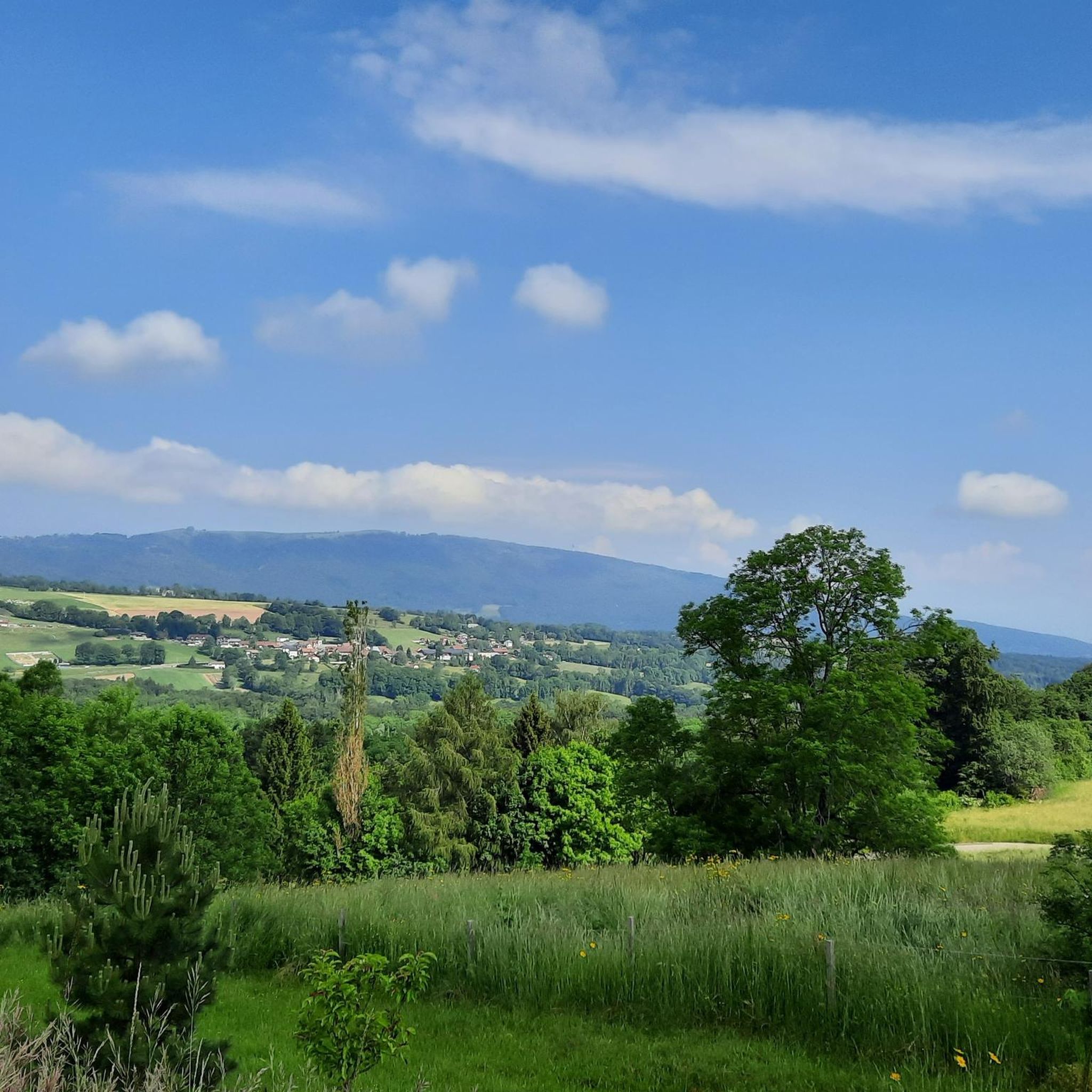
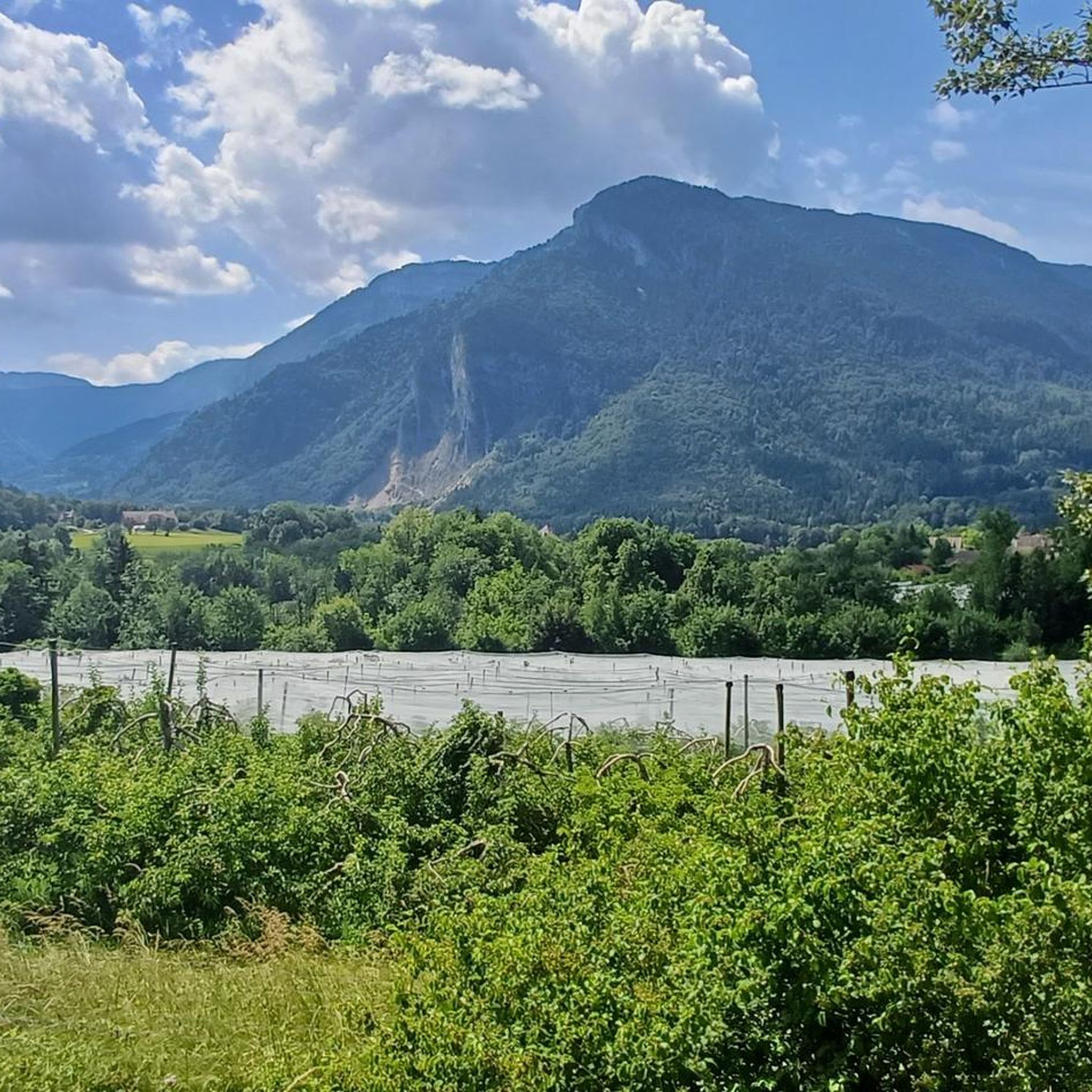
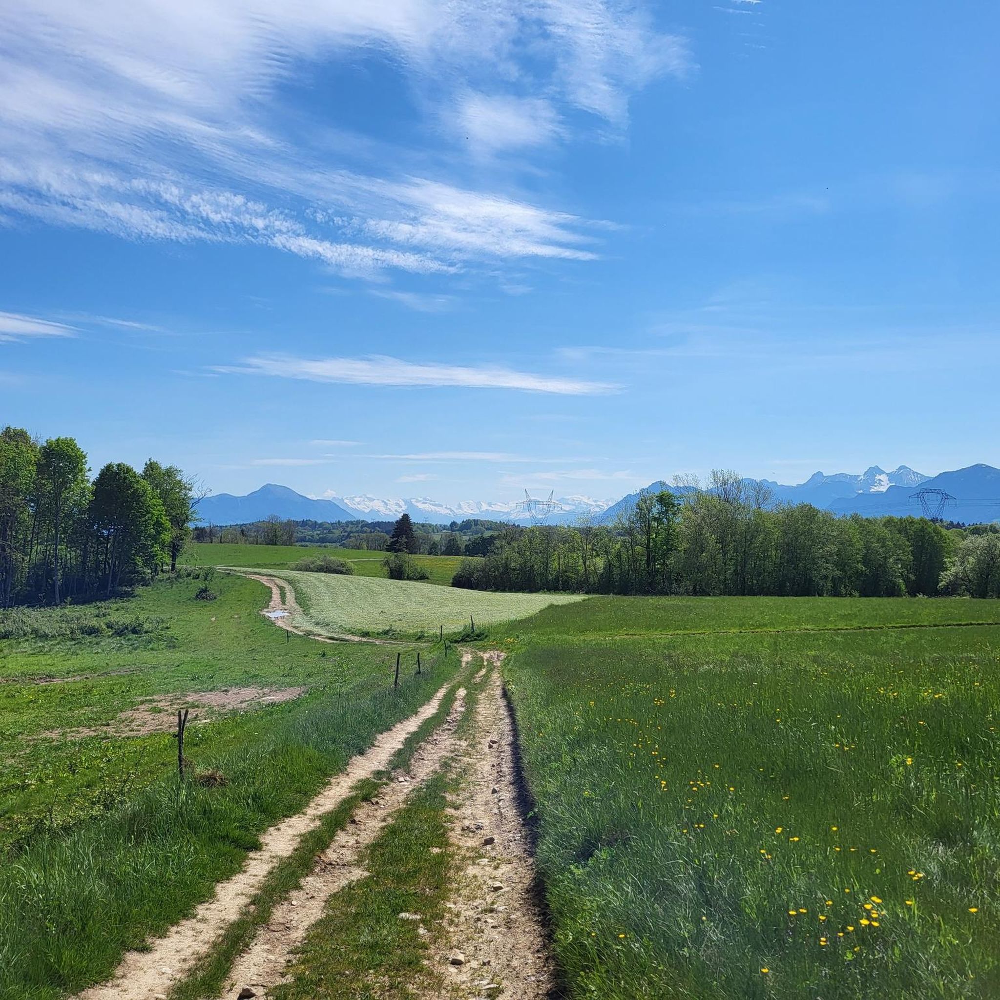
Hiking around La Chapelle-Rambaud offers a variety of trails through a landscape characterized by hills, streams, and viewpoints overlooking Lake Geneva and the surrounding region. The area features a mix of open terrain and forested sections, providing diverse environments for outdoor activities. Elevation changes are present, ranging from gentle slopes to more challenging ascents, contributing to varied hiking experiences. Mont Salève is a prominent feature, offering panoramic views of Geneva and Lake Geneva.
Best hiking trails around La Chapelle-Rambaud
- The…
Last updated: July 1, 2026
4.5
(37)
261
hikers
Moderate hike. Good fitness required. Easily-accessible paths. Suitable for all skill levels.
4.7
(7)
76
hikers
6.03km
01:54
190m
190m
Hard hike. Great for any fitness level. Sure-footedness, sturdy shoes and alpine experience required.

Sign up for free
4.3
(4)
27
hikers
15.0km
04:22
390m
390m
Moderate hike. Good fitness required. Easily-accessible paths. Suitable for all skill levels.
4.7
(3)
19
hikers
Moderate hike. Good fitness required. Easily-accessible paths. Suitable for all skill levels.
5.0
(1)
13
hikers
7.46km
02:04
130m
130m
Moderate hike. Good fitness required. Easily-accessible paths. Suitable for all skill levels.
Get access to more routes and recommendations from other explorers.
Sign up for free
Already have an account?
Our route recommendations are based on thousands of hikes, rides, and runs completed by other people on komoot.
Start today with a free account
Your next adventure awaits.
Login or Signup


Tips from the Community

The section from La Muraz to Cruseille, passing through Le Sappey, and then the climb from Cruseille to La Croisette are really nice. Beautiful road, few cars and gentle slope!
0
0

Super for paragliding
1
0
Path below the cliff with a great view of Lake Geneva and Geneva
0
0

The Bastian Tower alone is worth a detour; the sweeping view of Lake Geneva makes it a magical experience.
0
0

Point of intersection the Grand Piton Altitude 1379m
0
0

Once you pass the Pitons pass, you think you're almost there! 🥵
0
0
We can see them above our heads from the start, and then the path opens onto the paraglider takeoff slope after 2km. A great spot to sit down and dream a little 💭…
1
0

Frequently Asked Questions
How many hiking trails are available around La Chapelle-Rambaud?
There are over 110 hiking trails around La Chapelle-Rambaud, offering a wide variety of options for different skill levels and preferences. This includes 33 easy routes, 51 moderate routes, and 29 challenging trails.
Are there easy hiking trails suitable for beginners or families in La Chapelle-Rambaud?
Yes, La Chapelle-Rambaud offers 33 easy hiking routes, many of which are suitable for beginners or families looking for a relaxed outing. An example is the Devil's Cave loop from La Muraz, a 3.6-mile (5.8 km) trail that takes about 1 hour 42 minutes to complete.
Are there challenging hikes for experienced trekkers in the area?
Absolutely. For experienced hikers, there are 29 challenging routes available. One notable option is the Geneva - Belvedere – View of Lake Geneva and Geneva loop from Grotte d'Orjobet, a 7.0-mile (11.3 km) trail with significant elevation changes, typically taking around 3 hours 30 minutes.
Can I find circular hiking routes in La Chapelle-Rambaud?
Yes, many of the trails in La Chapelle-Rambaud are designed as loops, allowing you to start and end at the same point. For instance, the View of Genève and the lake – Col des Pitons loop from Grotte d'Orjobet is a moderate 6.0-mile (9.6 km) path offering scenic vistas.
What interesting places or landmarks can I explore while hiking?
The region around La Chapelle-Rambaud is rich with natural and historical points of interest. You can explore caves like the Orjobet Cave or The Trou de la Tine. There are also stunning viewpoints such as the Croisette Pass and various spots offering views of Lake Geneva.
Are there any hikes with great viewpoints in La Chapelle-Rambaud?
Yes, the area is known for its panoramic viewpoints. Many trails offer expansive views of Lake Geneva and the surrounding landscape. The View of Genève and the lake – Grand Piton Tour loop from Le Sappey is a moderate 9.7-mile (15.7 km) route specifically designed to showcase these vistas.
Is there parking available near the trailheads?
Parking is generally available at or near the starting points of many trails in the La Chapelle-Rambaud area, especially in villages or designated recreational spots. It's advisable to check specific route details on komoot for precise parking information.
What is the best time of year to go hiking in La Chapelle-Rambaud?
The best time for hiking in La Chapelle-Rambaud is typically from spring through autumn (April to October), when the weather is mild and the trails are clear. Summer offers lush greenery, while autumn provides beautiful foliage. Some trails may be accessible in winter, but conditions can vary, requiring appropriate gear.
Can I bring my dog on the hiking trails in La Chapelle-Rambaud?
Many trails in the La Chapelle-Rambaud region are dog-friendly, allowing you to enjoy the outdoors with your canine companion. However, it's always recommended to keep dogs on a leash, especially in areas with livestock or wildlife, and to check for any specific local regulations or restrictions on individual routes.
What do other hikers say about the trails in La Chapelle-Rambaud?
The hiking trails in La Chapelle-Rambaud are highly regarded by the komoot community, with an average rating of 4.5 stars from over 500 reviews. More than 7,500 hikers have explored the area using komoot, often praising the diverse landscapes, panoramic views, and well-maintained paths.
Are there any trails that follow streams or lead to water features?
Yes, the landscape around La Chapelle-Rambaud is characterized by streams and varied terrain. The Trail Along the Stream – View of Villy-le-Bouveret loop from Menthonnex-en-Bornes is a moderate 7.5-mile (12.1 km) route that offers pleasant sections alongside water.
Are there options for winter hiking in La Chapelle-Rambaud?
While the region is primarily known for its warmer-month hiking, some lower-elevation trails might be suitable for winter hiking, especially after light snowfall. However, conditions can be challenging, and it's crucial to check local weather forecasts and trail conditions before heading out, and to be equipped with appropriate winter gear.
Most popular routes around La Chapelle-Rambaud
Most popular attractions around La Chapelle-Rambaud

Get inspired with the komoot mobile app


Explore more
Browse the best Hikes in other regions.
