The best MTB trails around Villy-Le-Bouveret
4.3
(292)
1,514
riders
148
rides
Mountain bike trails around Villy-Le-Bouveret are situated in the Haute-Savoie department, offering access to diverse landscapes. The region is characterized by the Plateau des Bornes and the foot of Mont Salève, providing varied terrain for mountain biking. The Usses river basin features protected wetlands and forests, contributing to the natural environment. Altitudes range from approximately 600 to 800 meters, ensuring a mix of climbs and descents.
Best mountain bike trails around Villy-Le-Bouveret
- The most popular mountain bike trail is Les…
Last updated: July 4, 2026
4.6
(9)
34
riders
23.6km
01:56
440m
440m
Moderate mountain bike ride. Good fitness required. Suitable for all skill levels.
5.0
(2)
16
riders
15.1km
01:19
310m
310m
Moderate mountain bike ride. Good fitness required. Suitable for all skill levels.

Sign up for free
5.0
(2)
8
riders
34.2km
03:38
1,100m
1,100m
Hard mountain bike ride. Very good fitness required. Advanced riding skills necessary. Some portions of the route may require you to push your bike.
4.0
(2)
6
riders
Moderate mountain bike ride. Good fitness required. Suitable for all skill levels.
6
riders
40.1km
04:07
1,420m
1,430m
Hard mountain bike ride. Very good fitness required. Advanced riding skills necessary. Some portions of the route may require you to push your bike.
Get access to more routes and recommendations from other explorers.
Sign up for free
Already have an account?
Our route recommendations are based on thousands of hikes, rides, and runs completed by other people on komoot.
Start today with a free account
Your next adventure awaits.
Login or Signup
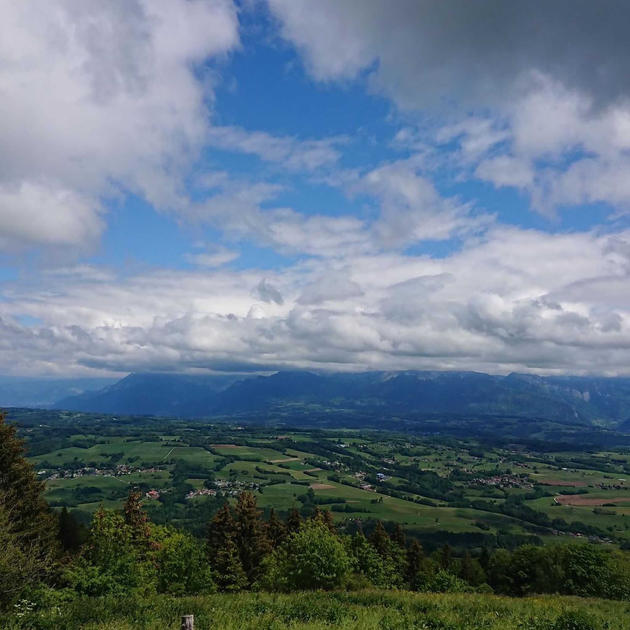
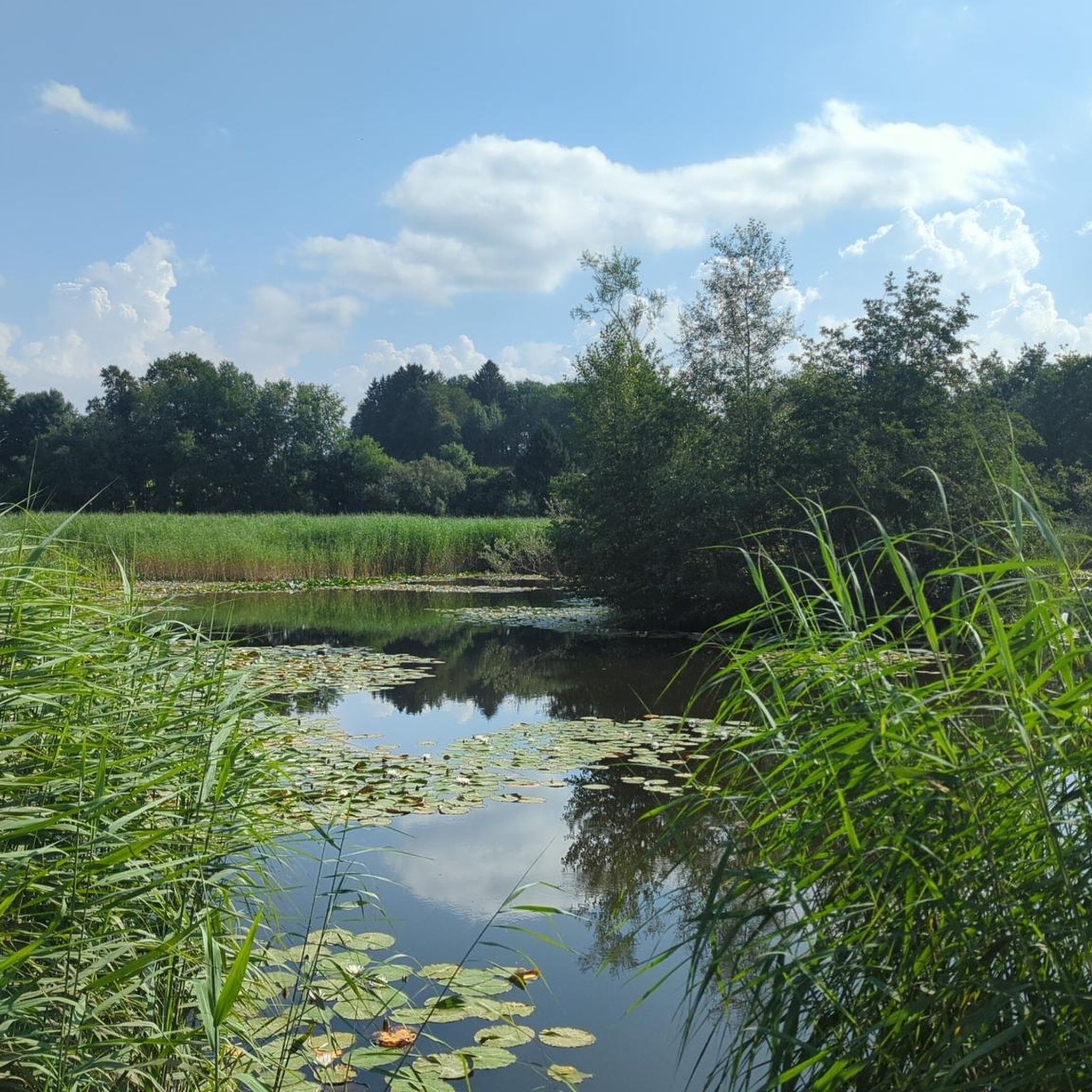
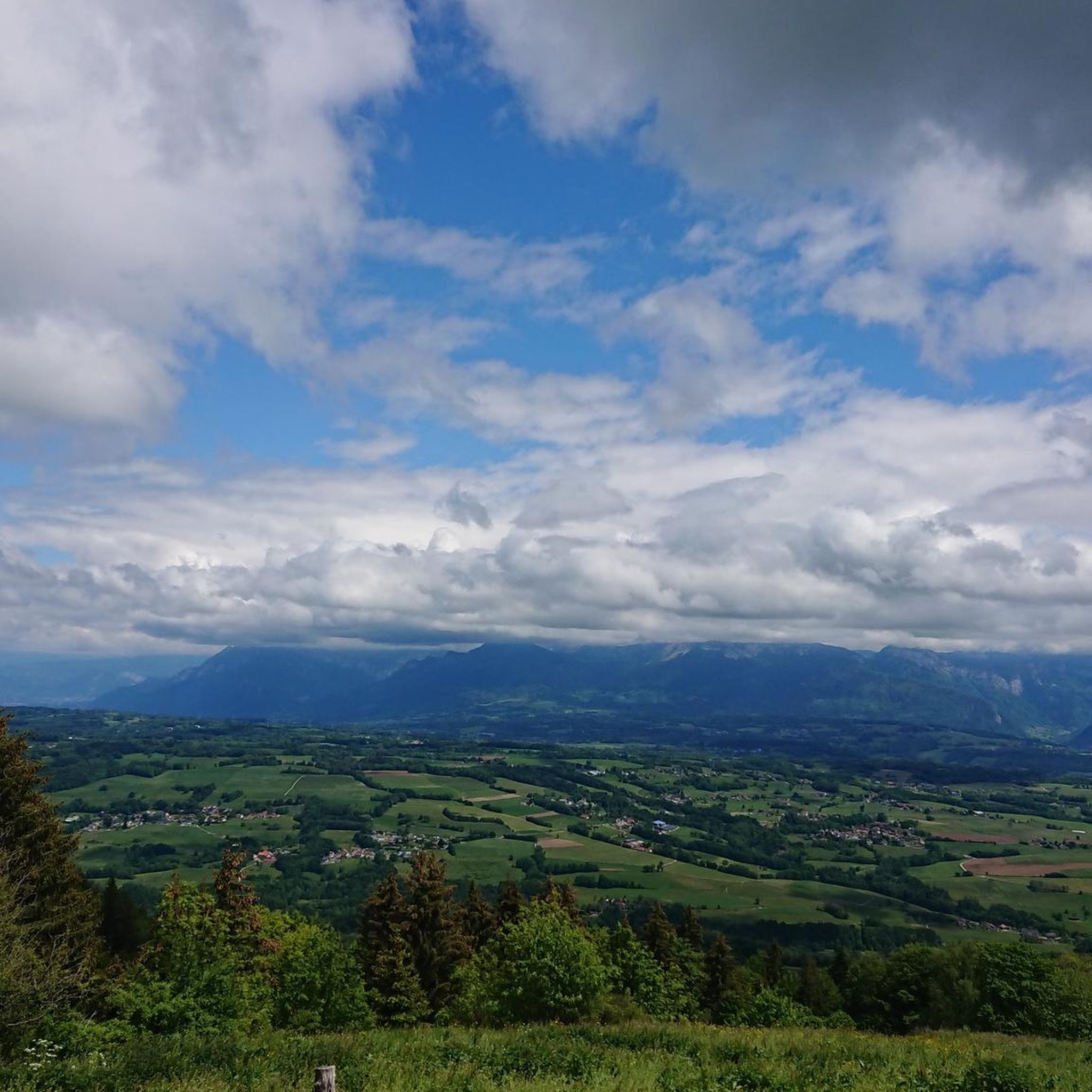
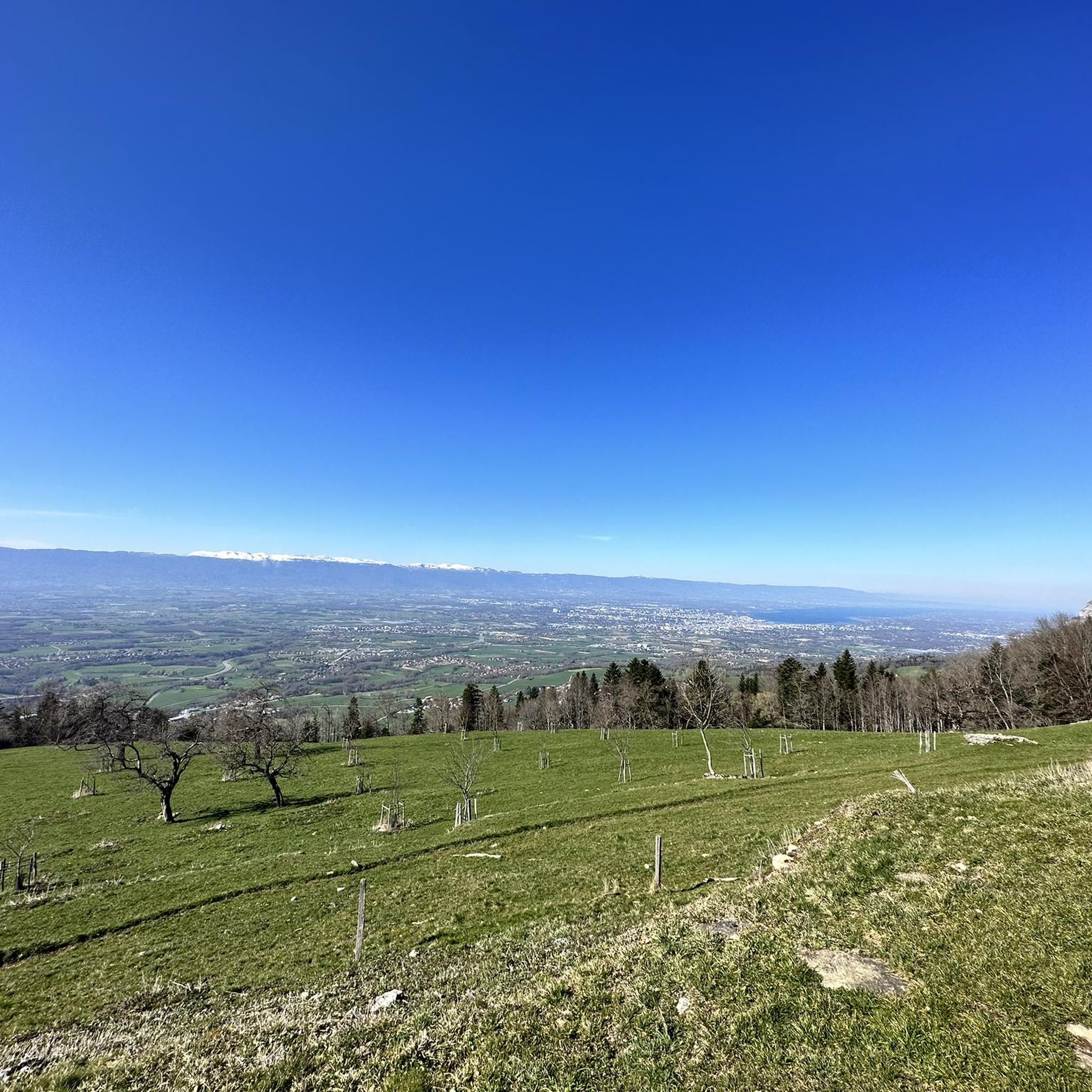
Tips from the Community

Point d'intersection Le Vouarger Altitude 1220m
0
0
Intersection point Les Dronières Altitude 790m
0
0

Very nice route for discovering Gravel
0
1

Along the Les Usses River, near Cruseilles, you will find an excellent mountain bike route. As you cycle, you will enjoy a mixture of shaded paths through dense forest, where the trees form a canopy overhead, keeping the trail cool and inviting. The trail follows the river, allowing you to ride alongside the gently flowing water, and occasionally enjoy the tranquility of the natural surroundings.
0
0


Classic regional cuisine served at altitude on the Parmelan mountain. The restaurant offers fantastic views of the vast valleys below, as well as the impressive cliffs and rocky peaks that surround it.
0
0
Many possible variations. Many paths and few roads. Not recommended during/after rain.
0
0

For all levels, beautiful view of Lake Annecy.
0
0
Frequently Asked Questions
What types of mountain bike trails can I find around Villy-Le-Bouveret?
The Villy-Le-Bouveret area, situated on the Plateau des Bornes and at the foot of Mont Salève, offers a diverse range of mountain bike trails. You'll find everything from easy paths through protected wetlands and forests in the Usses river basin to challenging routes with significant elevation gain on the slopes of Mont Salève. The network includes options for easy, moderate, and difficult ability levels.
Are there any easy mountain bike trails suitable for beginners or families?
Yes, Villy-Le-Bouveret has 29 easy mountain bike trails. While specific family-friendly routes aren't detailed, the presence of 'soft mobility paths' in the region suggests options for less strenuous rides. These paths are shared by walkers, runners, and mountain bikers, indicating a gentler terrain suitable for various users.
Can I find challenging mountain bike routes for experienced riders?
Absolutely. For experienced riders seeking a challenge, there are 33 difficult mountain bike trails around Villy-Le-Bouveret. Routes like Tour Mandallaz from Groisy – Chalet de l’Anglettaz loop from Groisy - Thorens - La Caille, a 23.6-mile (37.9 km) path, feature significant elevation gain and technical terrain, leading to destinations like the Chalet de l’Anglettaz.
Are there mountain bike trails with scenic viewpoints or natural attractions?
Many trails in the region offer scenic views, particularly those on the Plateau des Bornes and towards Mont Salève. For example, the Tour Mandallaz from Groisy – Panoramic view to le Parmelan loop from Groisy - Thorens - La Caille provides panoramic views towards le Parmelan. You can also explore natural attractions like the Orjobet Cave or the Trou de la Tine, which are accessible from some routes.
What do other mountain bikers say about the trails in Villy-Le-Bouveret?
The mountain bike trails around Villy-Le-Bouveret are highly rated by the komoot community, with an average score of 4.4 stars from over 270 reviews. Over 1700 mountain bikers have used komoot to explore the varied terrain, often praising the diverse landscapes and well-maintained paths.
Are there any circular mountain bike routes in the area?
Yes, many of the mountain bike routes around Villy-Le-Bouveret are designed as loops, allowing you to start and finish at the same point. An example is Les Usses River Picnic Spot – Panoramic view to le Parmelan loop from Chez Leydevant, a 15.5-mile (25.0 km) moderate trail that follows the Usses River.
What is the best time of year for mountain biking around Villy-Le-Bouveret?
The region's altitude, ranging from 600 to 800 meters, means that spring, summer, and early autumn generally offer the best conditions for mountain biking. During these seasons, trails are typically dry and accessible. Winter conditions can vary, with some higher-altitude paths potentially affected by snow or ice, especially on Mont Salève.
Are there any specific permits required for mountain biking in Haute-Savoie?
Generally, no specific permits are required for mountain biking on public trails in the Haute-Savoie region. However, it's always advisable to respect local signage, private property, and any specific regulations that might apply to protected natural areas or specific mountain bike parks, if applicable.
Is public transport available to access mountain bike trails near Villy-Le-Bouveret or Mont Salève?
Villy-Le-Bouveret is a rural commune, so public transport options might be limited directly to trailheads. However, its proximity to larger towns like Annecy (16 km away) suggests that regional bus services might connect to areas closer to Mont Salève or other trail access points. Planning your route in advance and checking local transport schedules is recommended.
Where can I find parking for mountain biking trails in Villy-Le-Bouveret?
While specific parking locations for every trailhead are not detailed, given the rural nature of Villy-Le-Bouveret and the surrounding areas, you can often find designated parking areas near villages, trailheads, or popular starting points for outdoor activities. For routes on Mont Salève, there are typically parking facilities at key access points like the Croisette Pass.
Are there any nearby attractions or landmarks to explore after a ride?
Yes, the area around Villy-Le-Bouveret is rich in natural and cultural attractions. You can visit the historic Orjobet Cave or the Croisette Pass on Mont Salève. The region is also close to Lake Annecy and the city of Annecy, offering additional sightseeing opportunities.
Can I bring my dog on the mountain bike trails around Villy-Le-Bouveret?
While many outdoor trails in France are dog-friendly, it's essential to check specific regulations for each trail or protected area. Generally, dogs are welcome if kept on a leash and if owners clean up after them. Always be mindful of wildlife and other trail users.
Are there places to eat or stay near the mountain bike trails in Villy-Le-Bouveret?
Villy-Le-Bouveret is a small rural commune, so options for cafes, pubs, or accommodation might be limited directly within the village. However, the surrounding larger towns and tourist hubs like Annecy (16 km away) offer a wider range of services, including restaurants, cafes, and various types of accommodation for visitors.
Most popular routes around Villy-Le-Bouveret
Most popular attractions around Villy-Le-Bouveret

Get inspired with the komoot mobile app


Explore more
Browse the best MTB trails in other regions.
