The best mountain hikes around La Giettaz
4.8
(29)
367
hikers
35
hikes
Mountaineering around La Giettaz offers diverse terrain nestled within the Aravis mountains, providing access to high mountain peaks, alpine pastures, and spruce forests. The region is characterized by panoramic views of the Aravis, Beaufortain, and Mont Blanc massifs, creating a dramatic backdrop for challenging ascents. Wild combes further enhance the rugged and exploratory experience for mountaineers.
Best mountaineering routes around La Giettaz
- The most popular mountaineering route is Via Ferrata loop from Col des Aravis, a 3.0 miles (4.8…
Last updated: June 27, 2026
5.0
(2)
74
hikers
4.97km
03:01
460m
460m
Hard mountaineering route. Good fitness required. Sure-footedness, sturdy shoes and alpine experience required.
4.0
(3)
14
hikers
14.8km
07:08
1,270m
1,270m
Hard mountaineering route. Very good fitness required. Sure-footedness, sturdy shoes and alpine experience required.

Sign up for free
5.0
(1)
16
hikers
13.1km
05:33
1,040m
1,040m
Hard mountaineering route. Very good fitness required. Sure-footedness, sturdy shoes and alpine experience required.
13
hikers
Hard mountaineering route. Very good fitness required. Sure-footedness, sturdy shoes and alpine experience required.
4.3
(3)
14
hikers
11.8km
04:57
880m
880m
Hard mountaineering route. Good fitness required. Sure-footedness, sturdy shoes and alpine experience required.
Get access to more routes and recommendations from other explorers.
Sign up for free
Already have an account?
Our route recommendations are based on thousands of hikes, rides, and runs completed by other people on komoot.
Start today with a free account
Your next adventure awaits.
Login or Signup
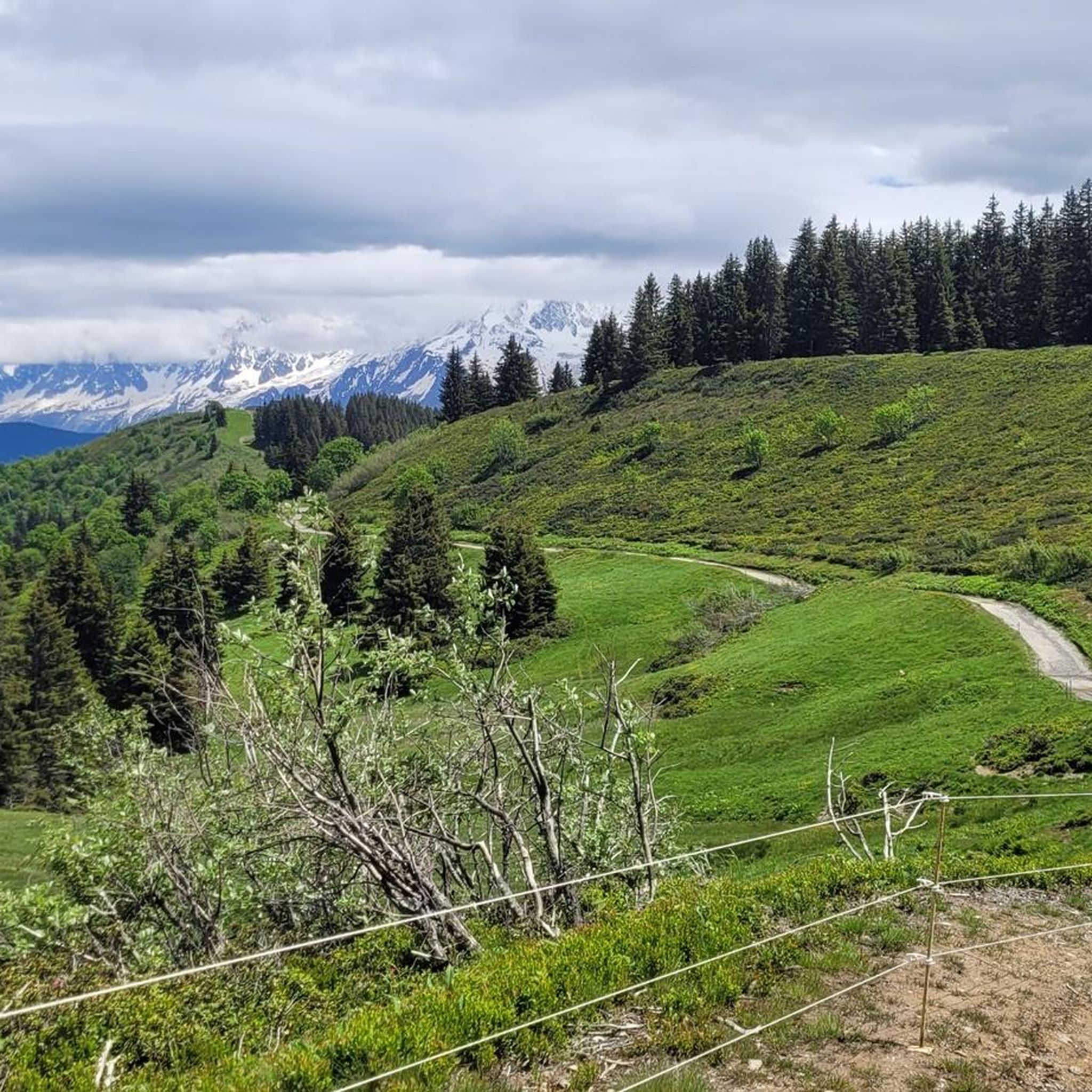

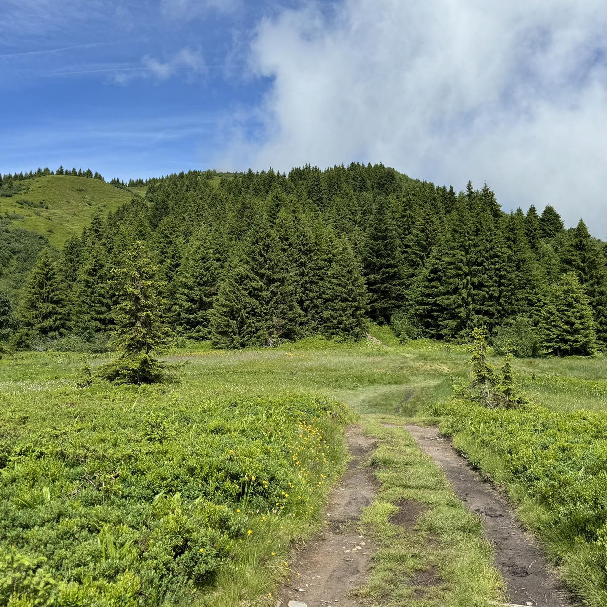
Other adventures around La Giettaz

Tips from the Community

Beautiful, not too difficult and long (700m) ferrata above the ski resort of La Clusaz. The via ferrata crosses the Rocher de Borderan with a slight climb, has a beautiful bridge and also a very difficult exit variant (D/E). Without this, the difficulties are limited, apart from a short B/C point soon after starting. Generally a worthwhile via ferrata destination in France, which can be easily combined with the other two via ferratas near Thones. (https://www.bergstieg.com/touren/klettersteig/via-ferrata-la-yves-pollet-villard/)
3
0

Sublime place for a stopover or better, to sleep ⛺️
1
0

Point of intersection Col du Jaillet Altitude 1723m The Col de Jaillet, or Col du Jaillet, is a pass located in the Aravis chain, separating the communes of Giettaz (Savoie), Sallanches and Cordon (Haute-Savoie). The pass was frequented very early, from Antiquity2, as evidenced by the presence of a border marker (just like the markers of the Col de l'Avenaz, and that of the Col du Petit Croisse Baulet3) marking the limit between the province of Graean Alps and the Viennese province4. The pass, located at a place called La Jorasse, at an altitude of 1,723 meters, was the main access route between the Mont-Blanc region and the Aravis. The Col de Jaillet is also part of the first sector of the Aravis natural zone of ecological, fauna and flora interest. It is home to a significant number of rare and protected species, such as the round-leaved sundew and the golden eagle.
1
0

The first part of the via ferrata has a few slippery points from all the abrasions, I recommend picking your shoes that have the most grip for that.
1
0


magnificent ridge that leads to mont charvin with a view of the lake below
0
0

not easy to reach, relatively quiet and lonely mountain lake, sheltered from the wind with gentle slopes that invite you to rest
0
0

Petit crosse baulet beautiful ski tour with a magnificent view of the Mont Blanc chain 🤩
0
0
Frequently Asked Questions
How many mountaineering routes are available around La Giettaz?
La Giettaz offers a rich selection of nearly 40 mountaineering routes, catering to various skill levels. These trails provide access to high mountain peaks, alpine pastures, and spruce forests, all set against the stunning backdrop of the Aravis, Beaufortain, and Mont Blanc massifs.
Are there any easy mountaineering routes suitable for beginners in La Giettaz?
Yes, while La Giettaz is known for its challenging terrain, there are a few routes suitable for beginners. You can find 3 easy routes and 21 moderate paths, offering a gentler introduction to mountaineering in the region. These trails often provide opportunities to explore picturesque landscapes without extreme difficulty.
What are some of the most challenging mountaineering routes in La Giettaz?
For experienced mountaineers seeking a challenge, La Giettaz offers 15 difficult routes. One notable option is the Mont Charvin – Mont Charvin Lake loop from Sous l'Aiguille, a demanding 9.2-mile (14.8 km) path featuring significant elevation gain and alpine scenery. Another is the Lac du Champ Tardif loop from Sous l'Aiguille, an 8.1-mile (13.0 km) trail through high mountain terrain.
Are there any circular mountaineering routes in the area?
Yes, many of the mountaineering routes around La Giettaz are designed as loops, allowing you to start and finish at the same point. For instance, the Via Ferrata loop from Col des Aravis is a popular circular option, as is the Mont Charvin – Mont Charvin Lake loop from Sous l'Aiguille.
What kind of natural features and landmarks can I expect to see along the routes?
The routes around La Giettaz are rich with natural beauty and notable landmarks. You'll encounter majestic mountain ranges like the Aravis, Beaufortain, and Mont Blanc massifs, offering breathtaking panoramic views. Highlights include mountain passes such as Col des Aravis and Col des Annes, as well as various summits like Fly Hole and Tête du Danay. The region also features alpine pastures, spruce forests, and wild combes, with opportunities to discover small lakes and waterfalls.
What is the best time of year for mountaineering in La Giettaz?
The warmer months, typically from late spring through early autumn, are ideal for mountaineering in La Giettaz. During this period, the diverse terrain, including high mountain peaks and alpine pastures, is most accessible. The north-facing slopes, known for excellent snow quality in winter, transition into a paradise for hiking and mountaineering as the snow melts.
Are there any family-friendly mountaineering options in La Giettaz?
While many routes are challenging, La Giettaz and the wider Val d'Arly region offer over 350km of marked trails, some of which are suitable for families. Look for the easier and moderate-graded routes, which often traverse alpine pastures and spruce forests, providing a less strenuous experience with beautiful scenery. Qualified mountain guides are also available to lead tailor-made hikes for various abilities.
Can I bring my dog on the mountaineering trails?
Many trails in the La Giettaz region are dog-friendly, but it's always advisable to check specific route regulations, especially within protected areas or nature reserves. Ensure your dog is well-behaved, on a leash where required, and that you carry out all waste. The varied terrain and extensive network of paths offer plenty of opportunities for you and your canine companion to explore.
Are there any cafes or amenities near the mountaineering trails?
La Giettaz maintains an authentic Savoyard charm with traditional chalets, and you'll find local hospitality and amenities within the village. While specific cafes directly on high mountain trails might be limited, you can typically find places to refresh and refuel in the village itself or at key access points like the Col des Aravis. It's always a good idea to carry sufficient water and snacks for your chosen route.
What do other mountaineers enjoy most about the routes in La Giettaz?
The mountaineering routes in La Giettaz are highly rated by the komoot community, with an average score of 4.8 stars from over 30 reviews. Mountaineers frequently praise the majestic mountain ranges, the varied alpine terrain, and the dramatic backdrop of the Aravis, Beaufortain, and Mont Blanc massifs. The sense of tranquility and untouched nature, combined with challenging ascents and stunning panoramas, are often highlighted as key attractions.
Are there any historical elements to discover along the trails?
Yes, some hikes in the region incorporate historical elements. For example, the Petit Croisse loop from Borne frontière romaine dite Fines, a moderate 6.2-mile (9.9 km) route, passes by a Roman milestone, adding a cultural dimension to your outdoor adventure. The region's rich history is subtly woven into its landscapes.
Is public transport available to access the trailheads?
While La Giettaz is nestled in a mountainous region, public transport options to specific trailheads can be limited. It's often recommended to have personal transport for maximum flexibility. However, some key passes like the Col des Aravis are accessible and may have seasonal transport links. Always check local transport schedules in advance for the most up-to-date information.
Most popular routes around La Giettaz
Most popular attractions around La Giettaz

Get inspired with the komoot mobile app


Explore more
Browse the best Mountain Hikes & Routes in other regions.
