The best walks and hikes around Notre-Dame-De-Bellecombe
4.4
(373)
4,143
hikers
45
hikes
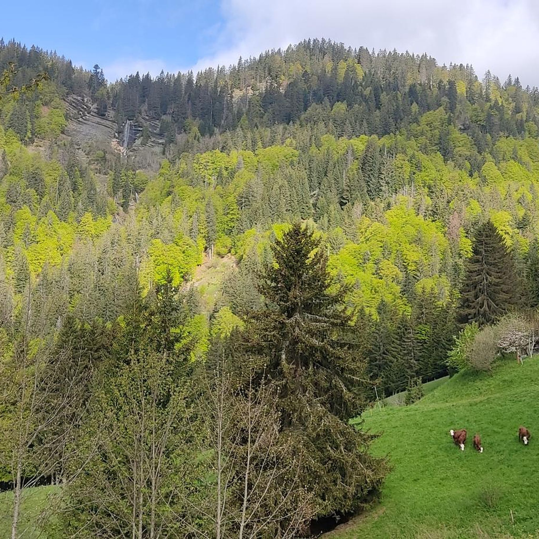
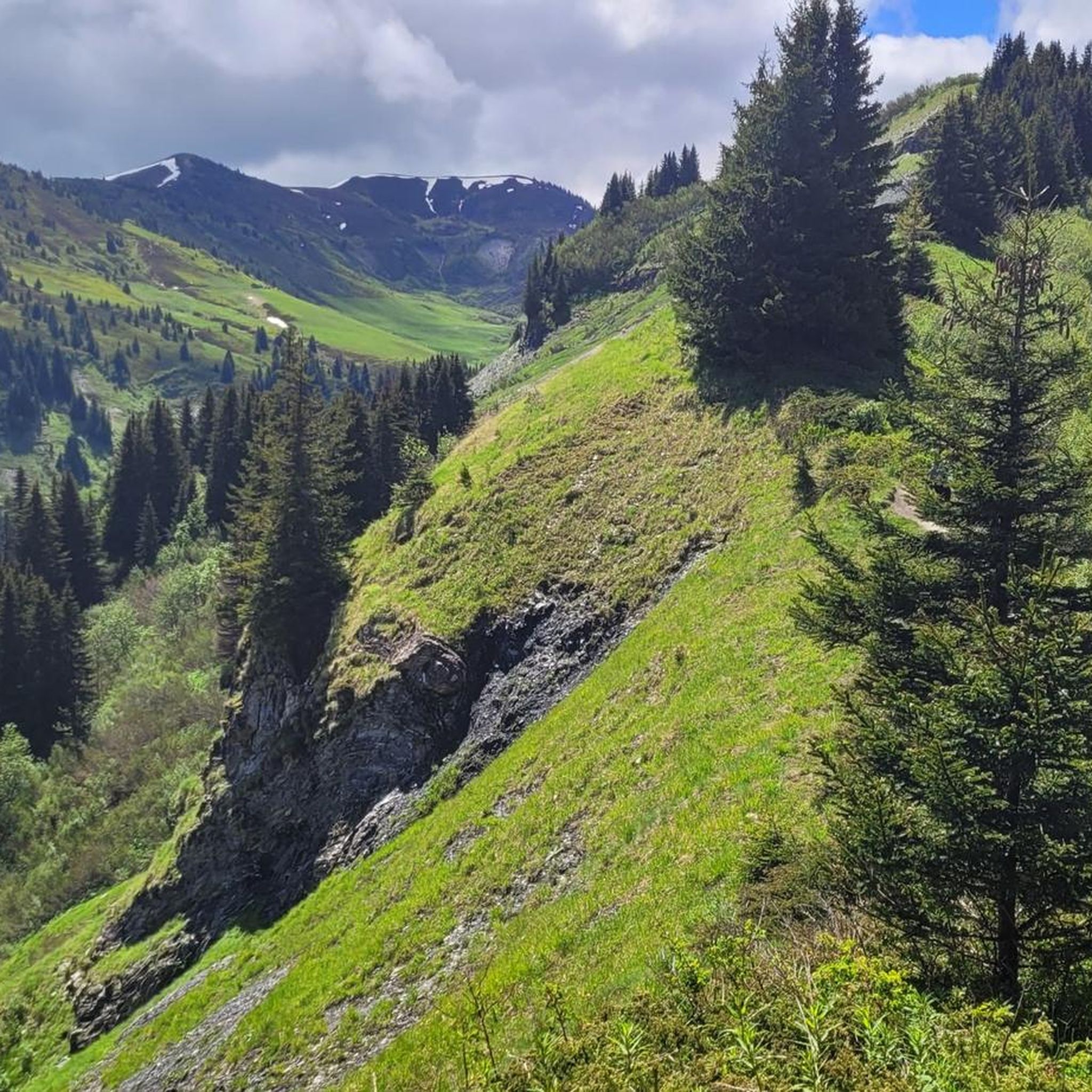
Hiking trails around Notre-Dame-De-Bellecombe are situated in the Savoie department of France, offering diverse alpine landscapes for outdoor activities. The region's elevation ranges from 1100 to 2070 meters above sea level, featuring a mix of larch and fir forests, expansive alpine meadows, and rugged, rocky areas. Hikers can expect panoramic views of prominent mountain ranges such as Mont Blanc, the Aravis massif, and the Beaufortain massif. The terrain includes serene mountain lakes and various waterfalls, providing varied natural features for exploration.
Best hiking trails in Notre-Dame-De-Bellecombe
- The most popular hiking route is Bonnet Blanc Refuge loop from L'Arcanière, a 4.8 miles (7.7 km) trail that takes 2 hours 24 minutes to complete. This moderate route offers views of the surrounding alpine environment.
- Another top favourite among local hikers is Lac du Plan Désert – Bonnet Blanc Refuge loop from Le Planay, a moderate 6.4 miles (10.2 km) path. This trail features a mountain lake and leads towards a refuge.
- Local hikers also love the Alpine meadows – Évettes Lake loop from Notre-Dame-de-Bellecombe, a 6.5 miles (10.5 km) trail leading through alpine meadows and past Lac des Évettes, often completed in about 3 hours 37 minutes.
- Hiking around Notre-Dame-De-Bellecombe is defined by alpine meadows, dense forests, and panoramic mountain views. The network offers options for different ability levels, from easy strolls to more challenging ascents.
- The routes in Notre-Dame-De-Bellecombe are highly rated by the komoot community with an average score of 4.4 stars from more than 300 reviews. More than 4000 hikers have used komoot to explore Notre-Dame-De-Bellecombe's varied terrain.
Last updated: June 25, 2026
4.8
(11)
94
hikers
7.72km
02:24
290m
290m
Moderate hike. Good fitness required. Easily-accessible paths. Suitable for all skill levels.
4.9
(9)
61
hikers
10.2km
03:19
450m
450m
Moderate hike. Good fitness required. Easily-accessible paths. Suitable for all skill levels.

Sign up for free
4.6
(5)
45
hikers
10.5km
03:37
560m
560m
Moderate hike. Good fitness required. Easily-accessible paths. Suitable for all skill levels.
4.4
(7)
51
hikers
9.50km
03:12
480m
480m
Moderate hike. Good fitness required. Easily-accessible paths. Suitable for all skill levels.
3.0
(2)
42
hikers
6.40km
01:52
180m
180m
Easy hike. Great for any fitness level. Easily-accessible paths. Suitable for all skill levels.
Get access to more routes and recommendations from other explorers.
Sign up for free
Already have an account?
Our route recommendations are based on thousands of hikes, rides, and runs completed by other people on komoot.
Start today with a free account
Your next adventure awaits.
Login or Signup
Popular around Notre-Dame-De-Bellecombe

Tips from the Community


A 360° panorama of the Mot-Blanc region, the Bauges, the Aravis, the Beaufortain .... with an orientation table and view of Mont-Blanc. Ideal for a picnic break with tables at the summit
0
0
A nice little lake for a picnic break. Follow the main route, not the one marked "steep", if you are with family or are not experienced. Some complicated passages.
3
0


One of the essential mountain bike rides in Beaufortain, whether from Megève or Les Saisies
1
0

A peak in the ski resort of Praz-sur-Arly, surrounded by green alpine meadows in summer and abundant snow in winter. The summit offers fantastic views of Mont Blanc and superb gentle trails.
1
0

traced without much difficulty, a beautiful viewpoint at the top taking the start of the path towards the more interesting bridge.
0
0
a beautiful hike with the meeting of goats in the wild
0
0
Frequently Asked Questions
How many hiking trails are available in Notre-Dame-De-Bellecombe?
Notre-Dame-De-Bellecombe offers a wide variety of hiking experiences, with over 45 marked trails. These range from easy strolls to more challenging ascents, catering to all levels of hikers.
Are there easy hiking trails suitable for beginners or families in Notre-Dame-De-Bellecombe?
Yes, the region has 14 easy hiking trails perfect for beginners or families. For example, the Alpine meadows – Évettes Lake loop from Notre-Dame-de-Bellecombe is a moderate 6.5 miles (10.5 km) trail that takes you through beautiful alpine meadows and past Lac des Évettes. Another family-friendly option mentioned in the region research is the Lac des Evettes loop, a 5km walk through larch forests.
What kind of landscapes and natural features can I expect to see on the hikes?
Hiking in Notre-Dame-De-Bellecombe offers diverse alpine landscapes. You'll traverse through lush larch and fir forests, expansive alpine meadows dotted with wildflowers, and some rugged, rocky areas. The region is also rich in natural beauty, featuring serene mountain lakes like Lac des Evettes and Lac du Mont Lachat, and various waterfalls. Expect breathtaking panoramic views of prominent mountain ranges such as Mont Blanc, the Aravis massif, and the Beaufortain massif.
Are there any circular hiking routes in Notre-Dame-De-Bellecombe?
Yes, many trails in Notre-Dame-De-Bellecombe are circular. A popular option is the Bonnet Blanc Refuge loop from L'Arcanière, a 4.8-mile (7.7 km) moderate trail. Another is the Panorama loop from Notre-Dame-de-Bellecombe, which offers great views over 7.5 km.
What are some notable landmarks or viewpoints along the hiking trails?
The region is known for its exceptional panoramic views. The summit of Mont Rond offers an unobstructed panorama including the Mont Blanc chain and the Aravis range. You can also find traditional chalets and mountain pastures. For specific points of interest, consider visiting Col des Aravis or Col des Saisies, both mountain passes offering stunning vistas.
What do other hikers enjoy most about hiking in Notre-Dame-De-Bellecombe?
The hiking routes in Notre-Dame-De-Bellecombe are highly rated by the komoot community, with an average score of 4.4 stars from over 300 reviews. Hikers often praise the varied terrain, from alpine meadows to dense forests, and the magnificent panoramic mountain views, especially of Mont Blanc and the surrounding massifs.
Are there any challenging hikes for experienced trekkers?
Yes, for experienced trekkers, there are 4 difficult trails available. The region research mentions the demanding Tour of Mont Mirantin, which reaches almost 2460 meters and requires good physical condition due to steep ascents and descents. Another challenging option is the Le Treu, Croix de Stata and Croix Cartier loop, a 12.16km, 7-hour hike with magnificent views.
Can I bring my dog on the hiking trails in Notre-Dame-De-Bellecombe?
While the region is generally welcoming to outdoor activities, specific regulations for dogs on trails can vary. It's always best to check local signage at trailheads for any restrictions, especially within protected natural areas or near grazing livestock. Always keep your dog under control and clean up after them.
What is the best time of year to go hiking in Notre-Dame-De-Bellecombe?
The best time for hiking in Notre-Dame-De-Bellecombe is typically from late spring through early autumn (May to October), when the alpine meadows are in bloom and the weather is most favorable. During these months, trails are generally clear of snow, and you can fully enjoy the lush landscapes and panoramic views. Winter offers opportunities for snowshoeing, but hiking trails will be covered.
Are there places to stop for food or accommodation near the trails?
The region is dotted with charming traditional chalets and mountain pastures. While specific cafes or pubs directly on trails are not detailed, you can find mountain huts like Hut La Balme or Le Refuge des Prés, which may offer refreshments or overnight stays. The village of Notre-Dame-De-Bellecombe itself provides various accommodation and dining options.
Are there any trails that feature mountain lakes or waterfalls?
Absolutely. The region is known for its serene mountain lakes and various waterfalls. The Lac du Plan Désert – Bonnet Blanc Refuge loop from Le Planay is a moderate 6.4-mile (10.2 km) path that specifically features a mountain lake. The region research also highlights the picturesque Lac des Evettes and Lac du Mont Lachat as tranquil spots accessible via trails.
Is public transport available to reach trailheads in Notre-Dame-De-Bellecombe?
Notre-Dame-De-Bellecombe is a commune in the Savoie department, and while specific public transport details to individual trailheads are not provided, it's generally accessible by road. For detailed public transport information to the region and specific starting points, it's advisable to consult local tourist information or regional transport services, as options can vary by season.
Most popular routes around Notre-Dame-De-Bellecombe
Most popular attractions around Notre-Dame-De-Bellecombe

Get inspired with the komoot mobile app


Explore more
Browse the best Hikes in other regions.
