The best MTB trails around Champigneulles
4.4
(164)
947
riders
19
rides
Mountain bike trails around Champigneulles are set within a landscape characterized by extensive forested areas and the picturesque Bellefontaine valley. The region, with 1,664 hectares of woodlands, offers a natural environment conducive to off-road cycling. Riders can explore paths through the Haye Forest and along fertile fields that populate the valley. This varied terrain provides diverse riding experiences for mountain bikers.
Best mountain bike trails around Champigneulles
- The most popular mountain bike trail is Avenue by the water – Duroc…
Last updated: November 2, 2026
4.5
(4)
36
riders
58.4km
03:17
140m
140m
Moderate mountain bike ride. Good fitness required.
5.0
(2)
22
riders
Easy mountain bike ride.

4.7
(3)
20
riders
Easy mountain bike ride.
3.0
(1)
7
riders
54.2km
03:19
290m
290m
Moderate mountain bike ride. Good fitness required. Advanced riding skills necessary.
8
riders
50.4km
03:31
460m
460m
Moderate mountain bike ride. Good fitness required. Advanced riding skills necessary.
Get access to more routes and recommendations from other explorers.
Already have an account?
Our route recommendations are based on thousands of hikes, rides, and runs completed by other people on komoot.
Start today with a free account
Your next adventure awaits.

Tips from the Community

a nice section that still needs to grow
0
0

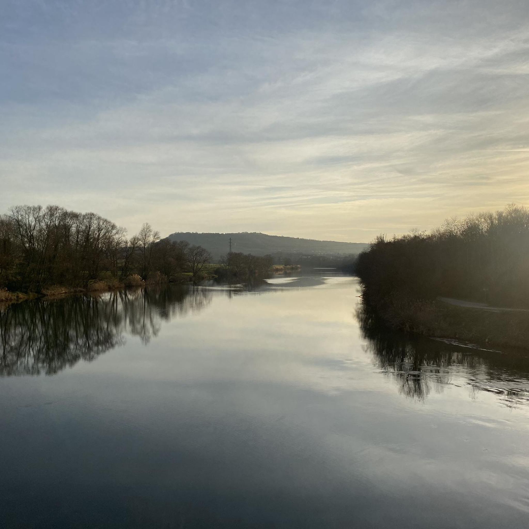
beautiful cycle path along the Mosel
0
0
the mosel is getting bigger and bigger
0
0

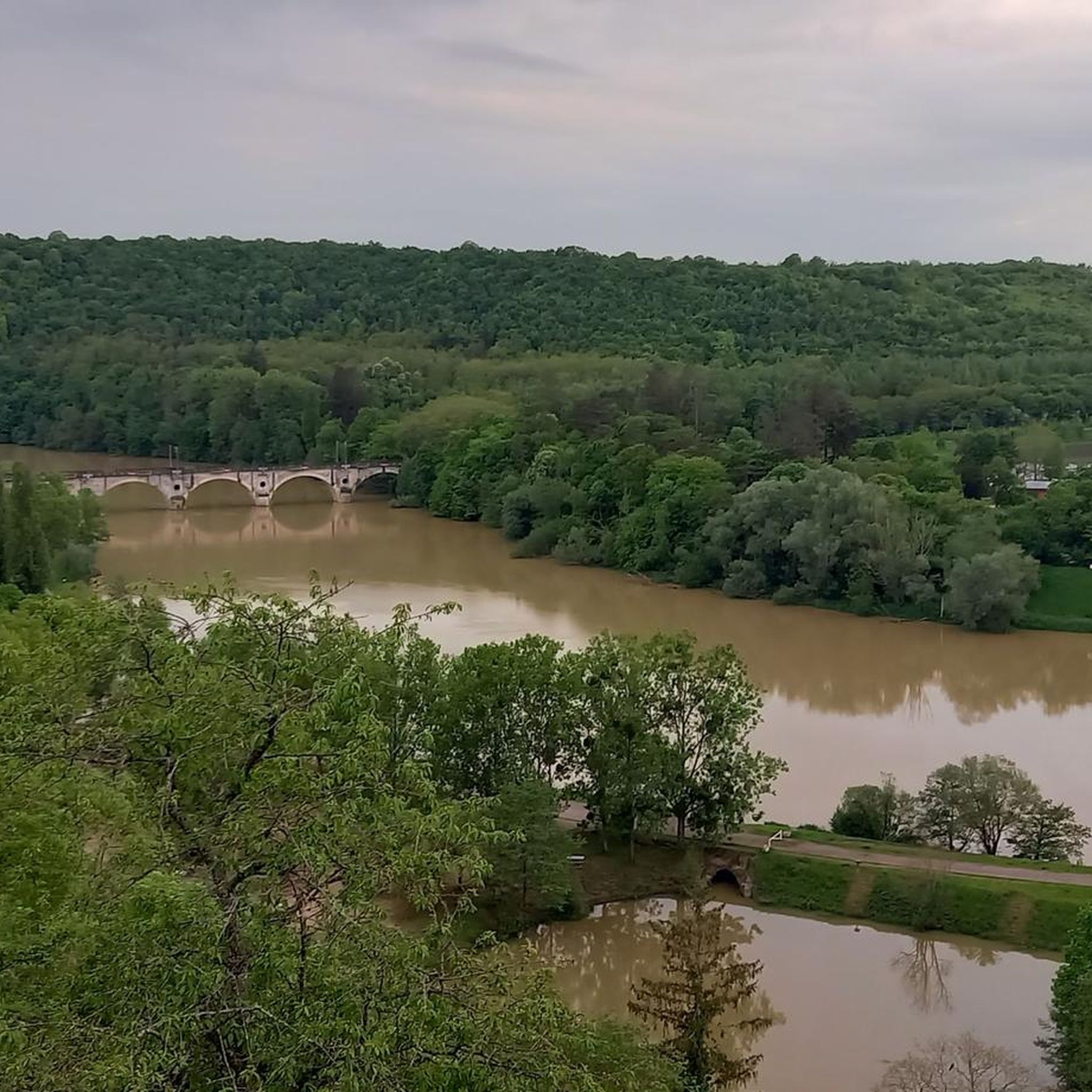
This railway bridge near Liverdun, directly behind the Moselle loop.
0
0


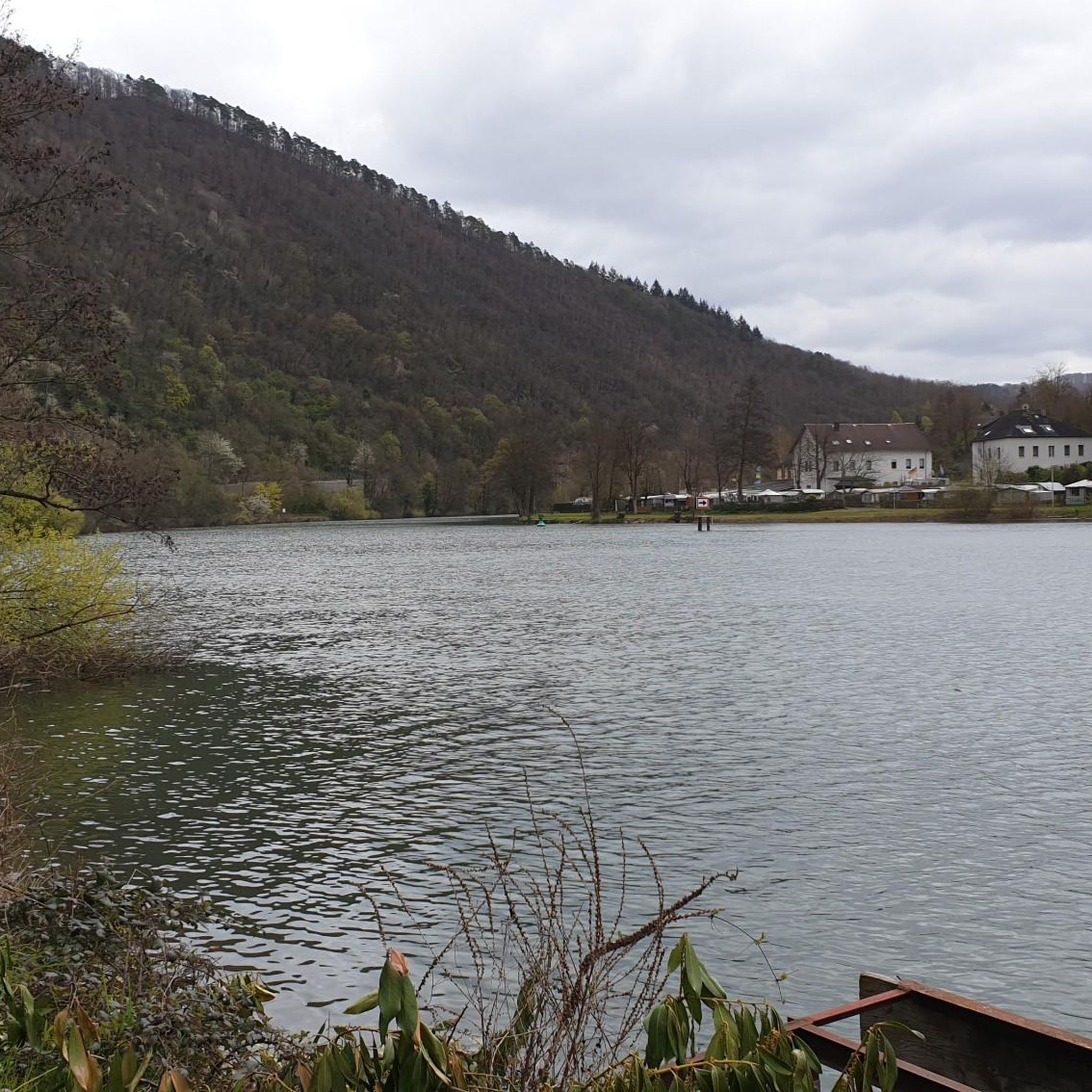
Beautiful path in the shade with a view of the water
0
0

Beautiful and well-developed bike path. Ideal for cycling.
2
0
Frequently Asked Questions
How many mountain bike trails are available around Champigneulles?
There are over 25 mountain bike trails around Champigneulles listed on komoot, offering a variety of experiences. These include 5 easy routes, 17 moderate routes, and 3 more challenging options.
What kind of terrain can I expect on mountain bike trails in Champigneulles?
Mountain bike trails in Champigneulles primarily traverse extensive forested areas, such as the Haye Forest, and wind through the picturesque Bellefontaine valley. You'll find paths through woodlands and along fertile fields, offering a mix of natural surfaces suitable for cross-country or touring.
Are there any easy mountain bike routes suitable for beginners or families?
Yes, there are 5 easy mountain bike routes around Champigneulles. An excellent option for a more relaxed ride is the Moulin Noir Footbridge – Millery loop from Champigneulles, which covers 25.25 km with minimal elevation gain.
Are there any circular mountain bike routes in Champigneulles?
Many of the mountain bike routes in Champigneulles are circular, allowing you to start and end in the same location. For example, the Eulmont forest – Plateau de Malzéville loop from Champigneulles is a moderate 33.1 km circular route that explores diverse forest landscapes.
What natural features or landmarks can I see while mountain biking in Champigneulles?
The trails often lead through the Bellefontaine Valley and the Haye Forest. You can also explore nearby natural highlights such as the Confluence of the Moselle and Meurthe rivers or enjoy a View of the Moselle Valley and the village of Maron from the Dent de la Roche viewpoint.
What do other mountain bikers say about the trails in Champigneulles?
The mountain bike trails around Champigneulles are highly rated by the komoot community, with an average score of 4.4 stars from over 160 reviews. Over 1200 mountain bikers have used komoot to explore the varied terrain, often praising the extensive forested areas and scenic valley routes.
Is there public transport access to the mountain bike trails in Champigneulles?
Champigneulles is accessible by public transport, particularly local bus services that connect to Nancy. It's advisable to check local bus schedules and routes to determine the most convenient access points to specific trailheads, as direct public transport to every starting point may vary.
Are there any specific viewpoints along the mountain bike trails?
While riding, you might encounter various scenic spots. A notable viewpoint is the View of the Moselle Valley and the village of Maron from the Dent de la Roche viewpoint, offering expansive vistas of the surrounding landscape.
What is the best time of year to go mountain biking in Champigneulles?
The extensive forested areas and valley terrain make Champigneulles enjoyable for mountain biking across multiple seasons. Spring and autumn offer pleasant temperatures and vibrant scenery, while summer provides longer daylight hours. Winter riding is possible, but conditions may vary, especially on unpaved forest paths.
Are there any places to eat or drink near the mountain bike trails?
Champigneulles, as a town, offers various amenities including cafes and restaurants. While specific establishments directly on the trails are not highlighted, you'll find options within the town center or nearby villages, which can be convenient starting or ending points for your ride.
What is the longest mountain bike route available in Champigneulles?
The longest mountain bike route highlighted is the Avenue by the water – Duroc Square loop from Champigneulles, a moderate trail spanning 58.4 km with an elevation gain of approximately 132 meters.
Are there any trails with significant elevation changes for a more challenging ride?
Yes, some trails offer more significant elevation changes. For instance, the Eulmont forest – Plateau de Malzéville loop from Champigneulles, a moderate 33.1 km route, features an elevation gain of over 565 meters, providing a more demanding experience.
Most popular routes around Champigneulles
Most popular attractions around Champigneulles

Get inspired with the komoot mobile app


Explore more
Browse the best MTB trails in other regions.
