The best mountain hikes around Scionzier
5.0
(15)
148
hikers
11
hikes
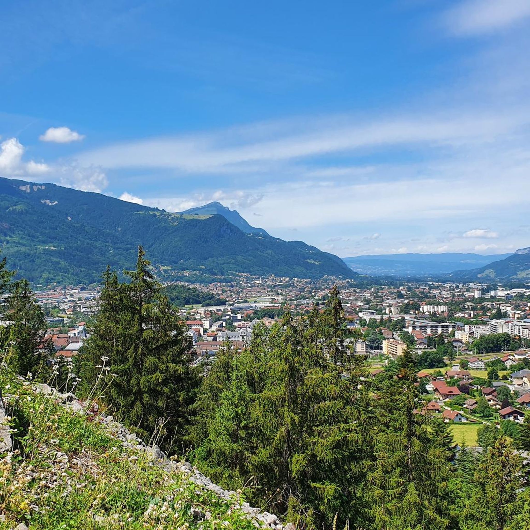
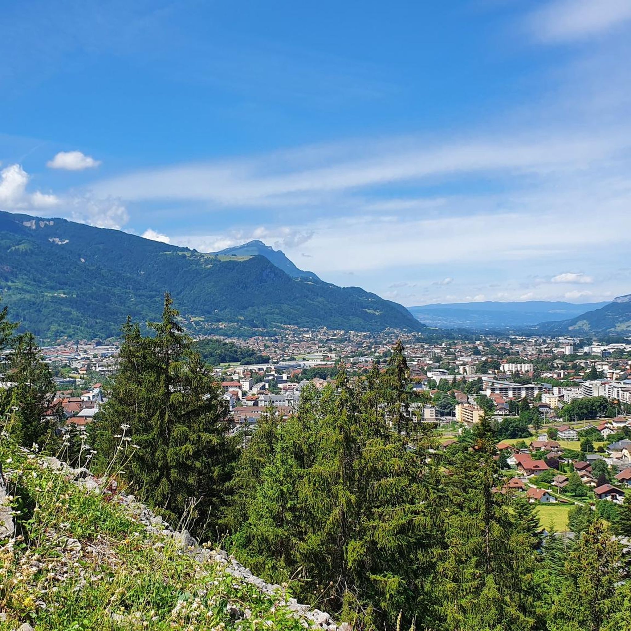
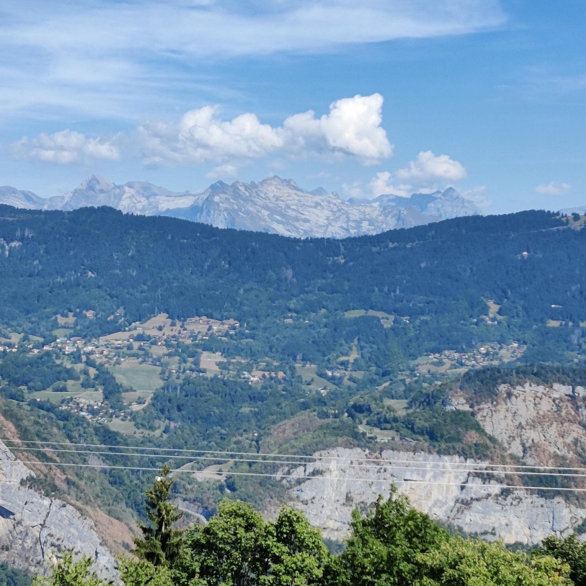
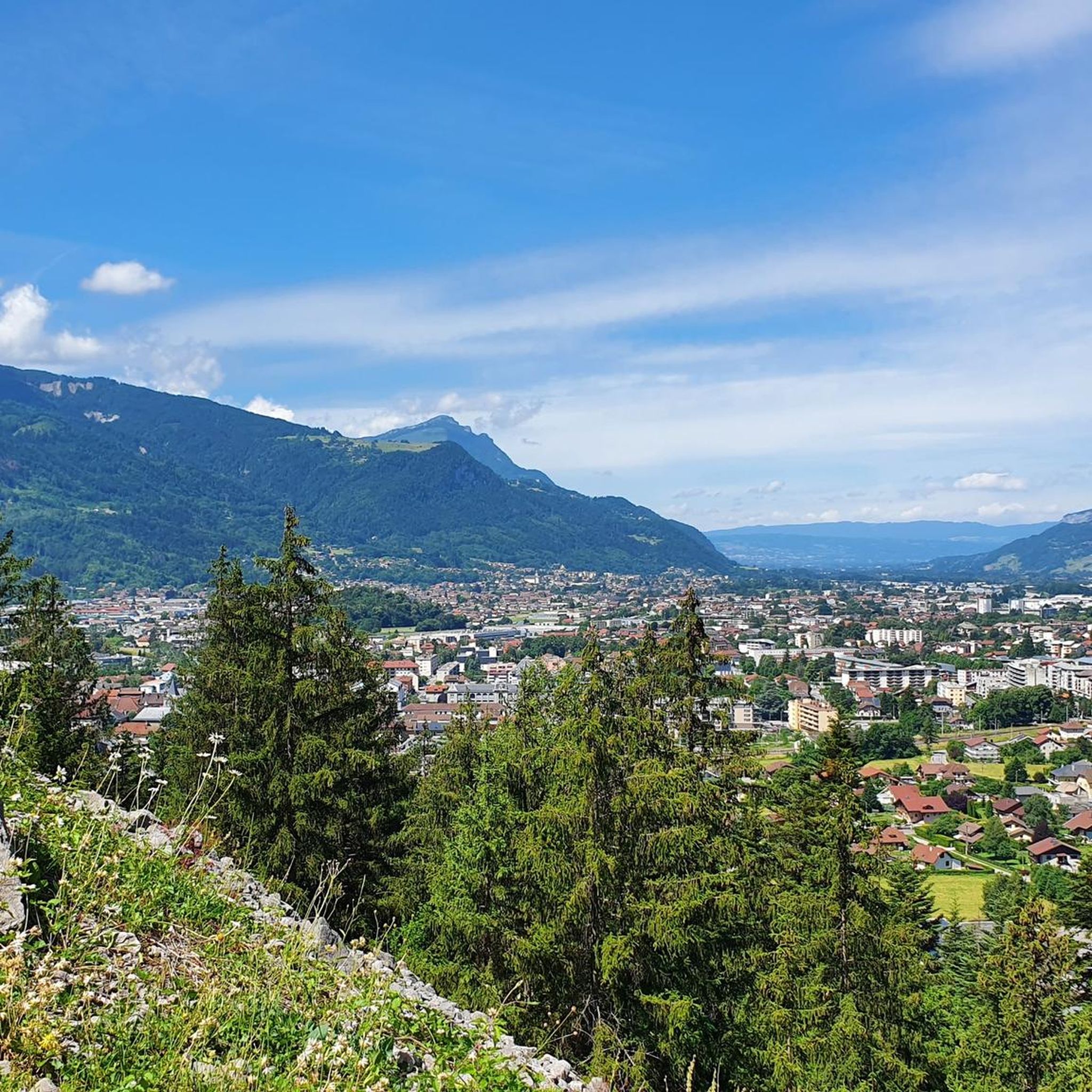
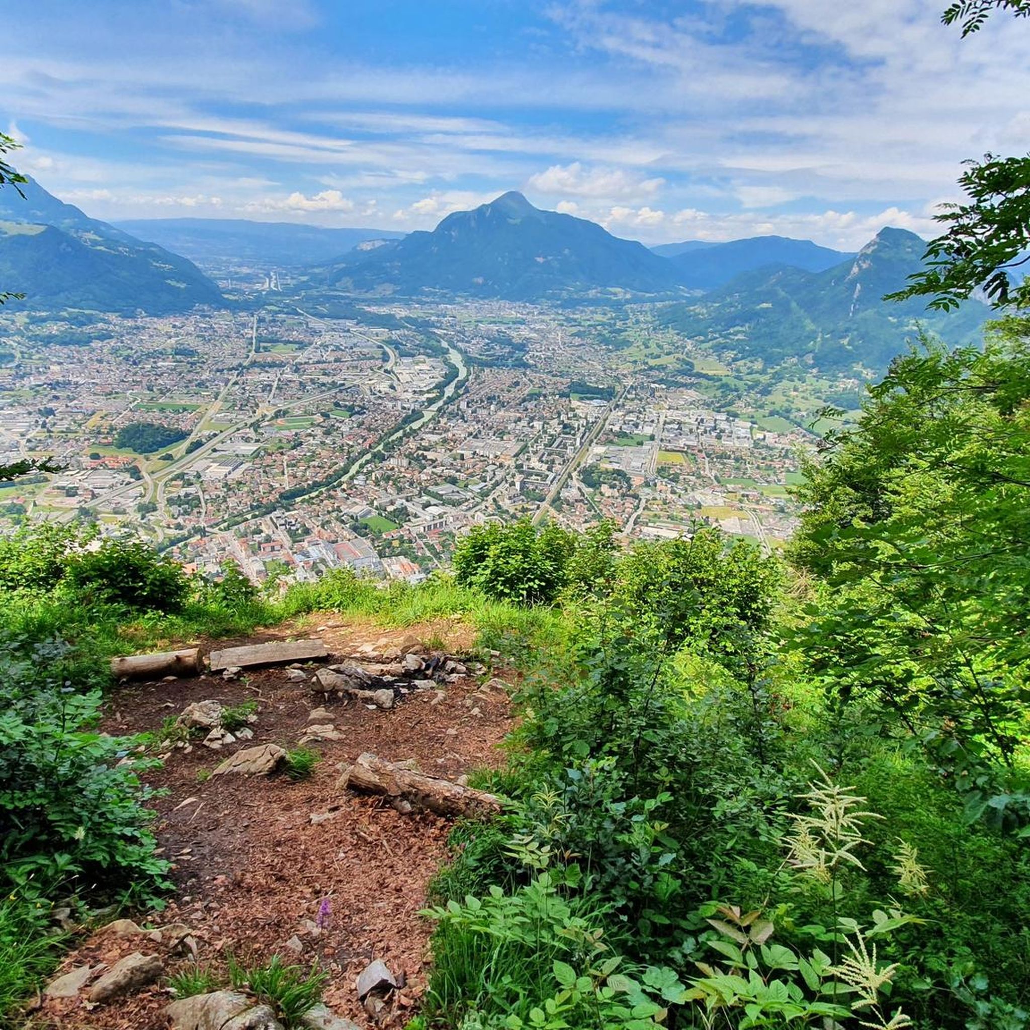
Mountaineering around Scionzier offers access to the pre-Alps of Haute-Savoie, characterized by significant elevation changes, rocky ascents, and alpine passes. The region features a mix of high mountain terrain, including peaks and valleys, with routes often leading to panoramic viewpoints. These routes navigate through varied landscapes, from forested lower slopes to exposed ridges and cols.
Best mountaineering routes around Scionzier
- The most popular mountaineering route is Via Ferrata loop from Col de la Colombière, a 3.2 miles (5.1 km)…
Last updated: July 3, 2026
5.0
(1)
28
hikers
5.10km
03:55
570m
570m
Hard mountaineering route. Good fitness required. Sure-footedness, sturdy shoes and alpine experience required.
5.0
(1)
21
hikers
11.3km
05:04
800m
800m
Hard mountaineering route. Very good fitness required. Mostly accessible paths. Sure-footedness required.

Sign up for free
5.0
(2)
12
hikers
6.81km
03:44
620m
620m
Hard mountaineering route. Good fitness required. Sure-footedness, sturdy shoes and alpine experience required.
7
hikers
11.3km
05:57
1,060m
1,060m
Hard mountaineering route. Very good fitness required. Sure-footedness, sturdy shoes and alpine experience required.
5.0
(1)
8
hikers
16.6km
07:30
1,340m
1,340m
Hard mountaineering route. Very good fitness required. Sure-footedness, sturdy shoes and alpine experience required.
Get access to more routes and recommendations from other explorers.
Sign up for free
Already have an account?
Our route recommendations are based on thousands of hikes, rides, and runs completed by other people on komoot.
Start today with a free account
Your next adventure awaits.
Login or Signup

Tips from the Community

360° view of Mont-Blanc, Dents du Midi, Swiss Alps, the Jura, the Salève, Lake Geneva etc... Absolutely beautiful and with today's cloudless sky it was magnificent.
0
0

Very nice hike. It was quite crowded today. Contrary to what’s written in the description, I didn’t see any particularly risky passages
0
0

Despite the chilling photos, the Cravate passage is not very exposed as long as there are no snowfields left to block the road (you can see them from La Roche sur Foron, which is quite practical as a local). Of course you shouldn't be afraid of heights but this path can even be crossed by running! So no worries
0
0
A majestic summit resembling a pyramid from the Cenise side, the Jallouvre - or Jalouvre - is a mythical summit whose ascent, although not difficult compared to its neighbor Pointe Blanche overhanging it by 30m, remains in the memory like that of a almost epic adventure between grueling scree (on both sides), the mythical Col du Razoir (the aptly named) and the Passage de la Cravate which, in the end, poses no more problem than that when the residual snowfields have disappeared, unless that we are subject to vertigo. In summary, one of the most beautiful hikes in the area in my opinion, for which you still need to be sure-footed and in good shape, but which can be tamed quite easily. Do not miss !
1
0
Very popular spot in summer. If you have a little strength in your legs to spare, don't stop at the lake, go up to the Balafrasse pass which gives a breathtaking view of the first as well as the Aravis range and Mont Blanc.
0
1
Much more aesthetic path than the usual path, it is however not recommended in case of vertigo
1
1
A few more 300m to climb from the lake but a fairly impressive panorama of the Aravis and Mont Blanc that you can't see from below. The climb is steep at the end but nothing very difficult (except perhaps the crossing to the summit cairn)
0
0
Frequently Asked Questions
What are the typical difficulty levels for mountaineering routes around Scionzier?
Mountaineering around Scionzier is characterized by challenging terrain. The majority of routes are rated as difficult, with 8 out of 12 routes falling into this category. There are also 4 moderate routes available, but no easy routes, indicating that a good level of fitness and experience is generally required.
What are the typical distances and durations for mountaineering tours in Scionzier?
The mountaineering tours in Scionzier vary in length and duration. For instance, the Via Ferrata loop from Col de la Colombière is about 3.2 miles (5.1 km) and takes nearly 4 hours. Longer routes like Le Môle – Petit Môle loop from Ayse stretch over 10 miles (16 km) and can take upwards of 7 hours to complete, involving significant elevation changes.
Are there any circular mountaineering routes around Scionzier?
Yes, Scionzier offers several excellent circular mountaineering routes. Popular options include the Via Ferrata loop from Col de la Colombière, the View of Lac de Lessy – Lac de Lessy loop from Le Chinaillon, and the Col de Balafrasse loop from Col de la Colombière. These loops allow you to experience diverse landscapes without retracing your steps.
Are there suitable mountaineering routes for beginners in Scionzier?
Mountaineering in Scionzier is generally geared towards experienced hikers due to the significant elevation changes and rocky terrain. There are no routes classified as 'easy' in this guide. However, if you are an experienced beginner looking for a challenge, some of the moderate routes might be suitable, provided you are well-prepared and have appropriate gear.
What kind of views can I expect on mountaineering routes around Scionzier?
Mountaineering routes around Scionzier offer breathtaking panoramic views of the pre-Alps of Haute-Savoie. Many routes lead to high mountain passes and ridges, providing expansive vistas of surrounding peaks and valleys. For example, the View of Lac de Lessy – Lac de Lessy loop from Le Chinaillon offers stunning views of Lac de Lessy and the alpine landscape.
What are some notable natural attractions or landmarks along the mountaineering routes?
The region around Scionzier is rich in natural beauty. You can encounter several stunning lakes, such as Lessy lake, Lake Vernays, and Lac Bénit. There are also several mountain huts like Doran Refuge and Lessy Refuge, which can serve as points of interest or rest stops.
Where can I find parking for mountaineering trailheads near Scionzier?
Parking for mountaineering trailheads around Scionzier is typically available at key access points such as mountain passes (e.g., Col de la Colombière) or at the outskirts of villages like Le Chinaillon or Ayse. It's advisable to arrive early, especially during peak season, as spaces can fill up quickly.
Is it possible to reach mountaineering trailheads around Scionzier using public transport?
While some larger towns in the Haute-Savoie region are well-served by public transport, reaching specific, often remote, mountaineering trailheads directly by bus or train can be challenging. It's recommended to check local bus schedules for connections to villages closest to your chosen trailhead, but a personal vehicle often offers the most flexibility for accessing these routes.
What do other mountaineers enjoy the most about mountaineering in Scionzier?
The mountaineering routes around Scionzier are highly rated by the komoot community, with an average score of 4.9 stars from over 20 reviews. Mountaineers frequently praise the challenging ascents, the stunning alpine scenery, and the rewarding panoramic views from high mountain passes and peaks. The variety of terrain, from forested slopes to exposed ridges, is also a common highlight.
Are there any advanced alpine climbs around Scionzier for experienced mountaineers?
Yes, Scionzier is well-suited for experienced mountaineers seeking advanced alpine climbs. The region's routes are predominantly rated as difficult, featuring significant elevation gains and technical sections. For example, the Lac de Lessy – Lessy lake loop from Col de la Colombière involves over 1000 meters of ascent, offering a substantial challenge.
What is the best season for mountaineering in Scionzier?
The best season for mountaineering in Scionzier is typically from late spring to early autumn (June to September). During these months, snow has generally melted from higher elevations, and weather conditions are more stable. However, always check local weather forecasts and trail conditions before heading out, as alpine weather can change rapidly.
Are there any mountain huts or refuges available along the routes for overnight stays or refreshments?
Yes, the Scionzier area has several mountain huts and refuges that can provide shelter, refreshments, or even overnight stays. Notable options include Doran Refuge, Lessy Refuge, and Refuge de Mayère and Airfield. These can be excellent points to plan your breaks or extend your adventure.
Most popular routes around Scionzier
Most popular attractions around Scionzier

Get inspired with the komoot mobile app


Explore more
Browse the best Mountain Hikes & Routes in other regions.
