The best walks and hikes around Ayse
4.5
(765)
9,283
hikers
210
hikes
Hiking around Ayse, located in the Haute-Savoie department of France, offers access to mountainous terrain within the Arve Valley. The region is characterized by the prominent Le Môle mountain, which rises to 1,863 meters, providing significant elevation changes. Hikers can expect an alpine environment with routes traversing mountain slopes and valleys. The area features a network of trails suitable for various skill levels.
Best hiking trails in Ayse
- The most popular hiking route is Le Môle summit cross – Le…
Last updated: June 27, 2026
4.8
(115)
1,468
hikers
8.60km
04:10
660m
660m
Hard hike. Good fitness required. Sure-footedness, sturdy shoes and alpine experience required.
4.5
(23)
293
hikers
4.28km
02:08
340m
340m
Moderate hike. Good fitness required. Mostly accessible paths. Sure-footedness required.

Sign up for free
4.7
(9)
100
hikers
7.20km
03:28
530m
530m
Hard hike. Good fitness required. Sure-footedness, sturdy shoes and alpine experience required.
4.6
(5)
31
hikers
10.6km
04:25
670m
670m
Hard hike. Good fitness required. Sure-footedness, sturdy shoes and alpine experience required.
5.0
(1)
29
hikers
10.5km
06:19
1,110m
1,110m
Hard hike. Very good fitness required. Sure-footedness, sturdy shoes and alpine experience required.
Get access to more routes and recommendations from other explorers.
Sign up for free
Already have an account?
Our route recommendations are based on thousands of hikes, rides, and runs completed by other people on komoot.
Start today with a free account
Your next adventure awaits.
Login or Signup
Tips from the Community

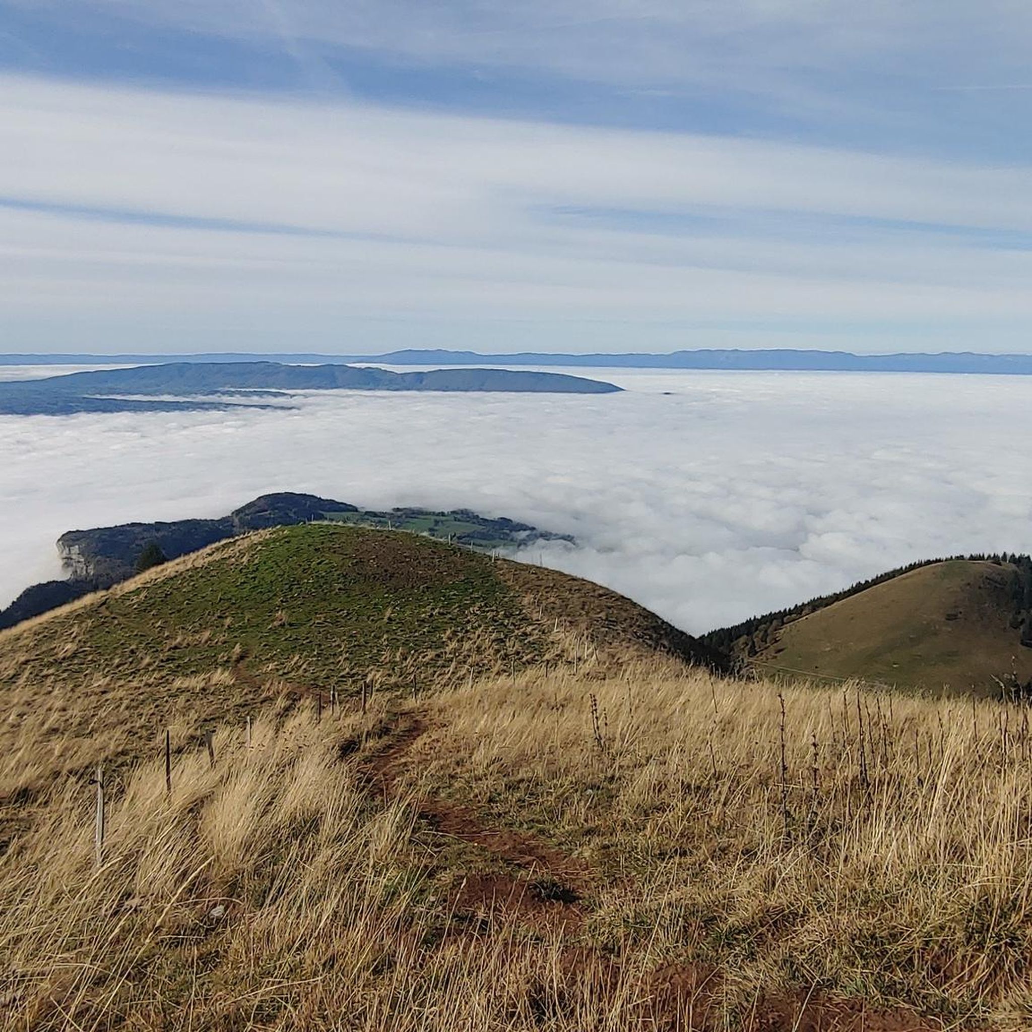
360° view of Mont-Blanc, Dents du Midi, Swiss Alps, the Jura, the Salève, Lake Geneva etc... Absolutely beautiful and with today's cloudless sky it was magnificent.
0
0

Very nice hike. It was quite crowded today. Contrary to what’s written in the description, I didn’t see any particularly risky passages
0
0


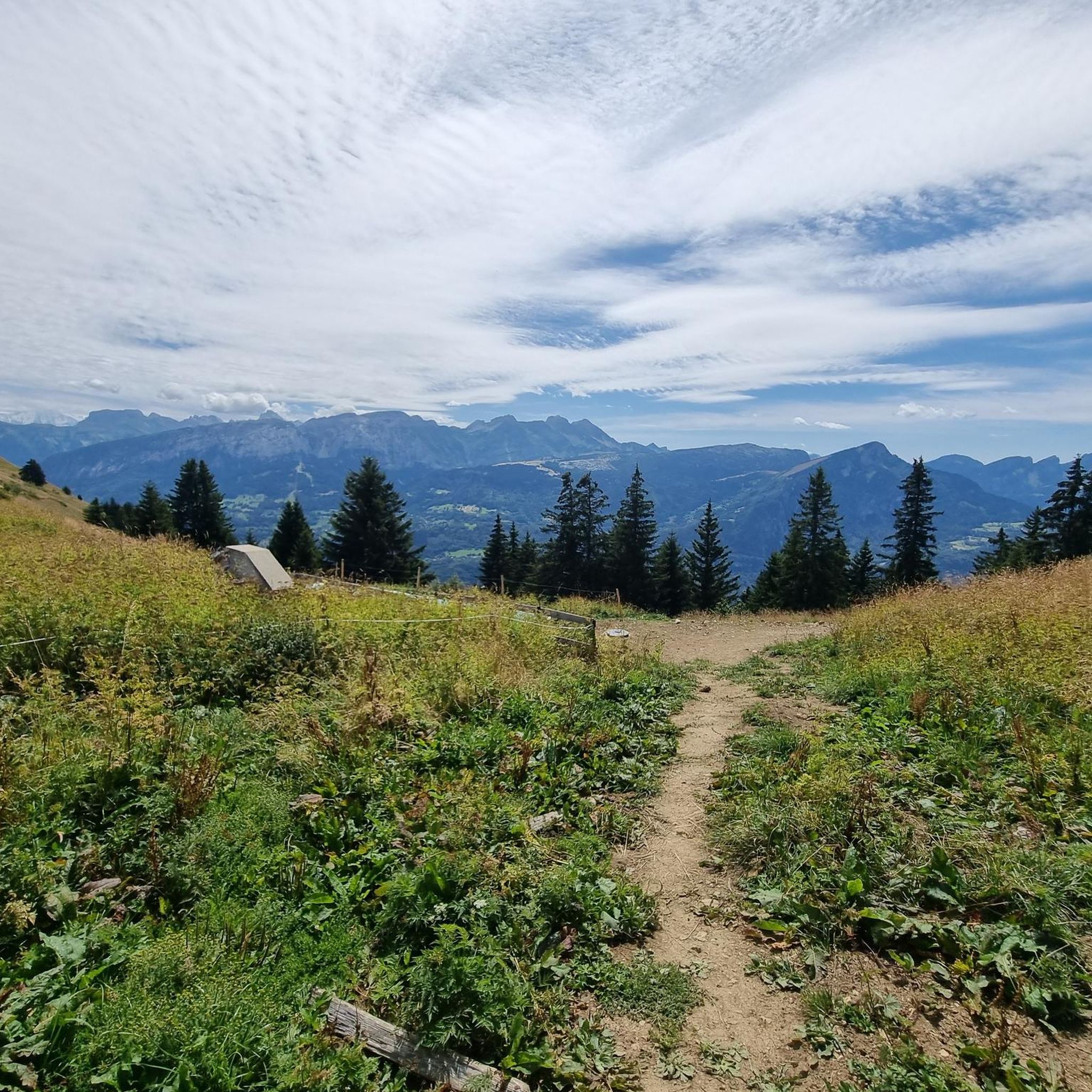
In the morning you come out of the shade of the slope and forest and then you see this sub-summit of La Môle... but you have to hike to the left.
0
0

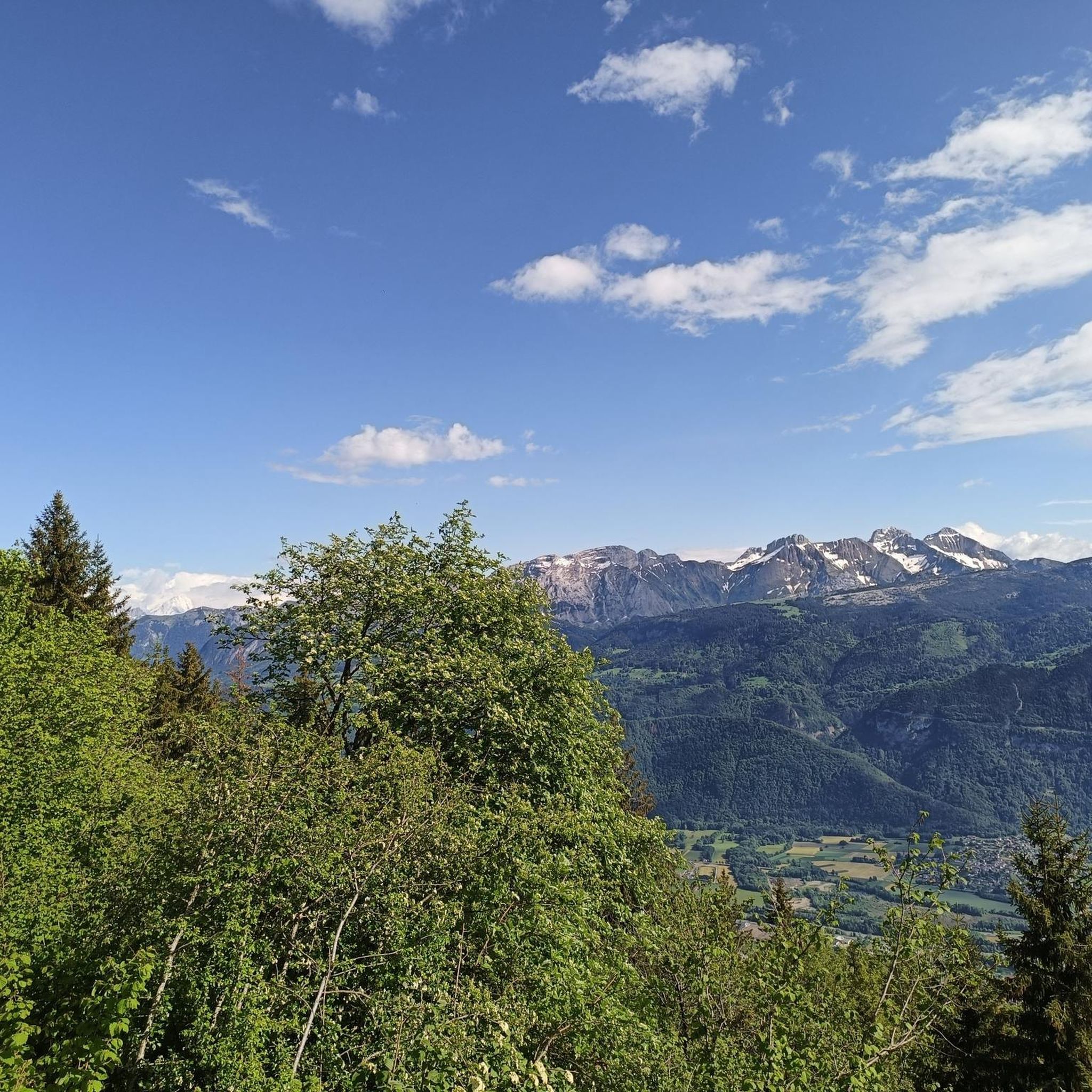
There is a cross on the slightly lower of the two peaks of Le Môle. As from the actual summit, which is easy to reach, the view here is exceptional. Mont Blanc stands out from the almost 700 visible peaks.
1
1
Due to its somewhat exposed location, it is an excellent and popular summit. With an appropriate view, over 700 other peaks can be seen, including over 25 four-thousanders. A special visual attraction is the Mont Blanc.
2
3
Frequently Asked Questions
How many hiking trails are available around Ayse?
There are over 180 hiking routes available around Ayse, catering to various skill levels. You'll find a mix of easy walks, moderate paths, and challenging ascents, primarily focused on the mountainous terrain of the Arve valley.
What kind of terrain can I expect when hiking near Ayse?
Hiking near Ayse offers a classic Alpine environment. You can expect mountainous terrain, including ascents up Le Môle summit cross, and paths traversing valleys. The landscape features significant elevation changes, providing extensive views of the Haute-Savoie region.
When is the best time of year to go hiking in Ayse?
The best time for hiking in Ayse is generally during the spring, summer, and early autumn months. While specific weather conditions vary, these seasons offer more favorable temperatures and clearer paths for exploring the mountainous terrain. Winter hiking is possible but requires appropriate gear and experience due to snow and ice.
Are there hiking trails suitable for beginners or families with children in Ayse?
Yes, Ayse offers a good selection of trails suitable for beginners and families. There are over 50 easy routes available. While the region is mountainous, you can find less strenuous paths that still provide scenic views without significant elevation gains. For example, the Europe Bridge loop from Bonneville is an easy option.
Are there challenging hikes for experienced trekkers around Ayse?
Absolutely. Ayse is known for its challenging routes, particularly those ascending Le Môle. Experienced trekkers can tackle trails like the Le Môle summit – Le Môle summit cross loop from Ayse, which is a difficult 17.2 km path with substantial elevation gain, typically taking over 7 hours to complete. There are over 40 difficult routes in the area.
Can I find circular hiking routes in the Ayse area?
Yes, many of the popular hikes around Ayse are circular, allowing you to start and end at the same point. Examples include the challenging Le Môle summit cross – Le Môle summit loop from Ayse and the moderate Petit Môle (1,534 m) loop from Ayse, both offering diverse scenery.
Are there any interesting natural landmarks or attractions to see along the hiking trails near Ayse?
Yes, the region around Ayse is rich in natural beauty. Hikers can discover various natural monuments and peaks. Notable highlights include the majestic Le Môle summit cross, the stunning Pic de Jallouvre, and picturesque lakes like Lac Bénit. The Gorges du Pont du Diable also offer a dramatic natural spectacle.
Is public transport available to reach hiking trailheads near Ayse?
While Ayse is a commune in the Arve valley, public transport options directly to specific trailheads for mountain hikes might be limited. It's advisable to check local bus schedules or regional transport services for connections from larger towns like Bonneville to Ayse. For many mountain routes, personal transport or carpooling is often the most convenient way to reach starting points.
Are there parking facilities at the trailheads in Ayse?
For popular hiking routes, especially those leading up Le Môle, you can typically find designated parking areas near the trailheads in and around Ayse. However, during peak season or on weekends, these can fill up quickly. It's always recommended to arrive early or consider alternative starting points if parking is a concern.
Do I need a permit to hike on trails around Ayse?
Generally, you do not need a permit for day hiking on the established trails around Ayse in the Haute-Savoie region of France. Most trails are freely accessible. However, if you plan to engage in specific activities like climbing or enter certain protected natural reserves, it's always wise to check with the local tourist office or park authorities for any specific regulations or requirements.
Are dogs allowed on the hiking trails near Ayse?
Many hiking trails in the Ayse region are dog-friendly, allowing you to enjoy the outdoors with your canine companion. However, it's crucial to keep dogs on a leash, especially in areas with livestock or wildlife, and to clean up after them. Always check specific trail regulations, as some protected areas or nature reserves might have restrictions.
What do other hikers enjoy the most about hiking in Ayse?
The hiking trails around Ayse are highly rated by the komoot community, with an average score of 4.5 stars from over 640 reviews. Hikers frequently praise the stunning panoramic views from Le Môle, the diverse Alpine landscapes, and the well-maintained paths that offer a rewarding experience for various fitness levels.
Are there options for food and drink near the hiking trails in Ayse?
Ayse and its surrounding villages offer various options for food and drink. You can find local restaurants and cafes to refuel after your hike. While there might not be establishments directly on every trailhead, many routes are close enough to populated areas where you can enjoy a meal or a refreshing drink. It's always a good idea to carry sufficient water and snacks, especially on longer routes.
Most popular attractions around Ayse

Get inspired with the komoot mobile app


Explore more
Browse the best Hikes in other regions.
