The best walks and hikes around Peillonnex
4.6
(659)
7,014
hikers
196
hikes
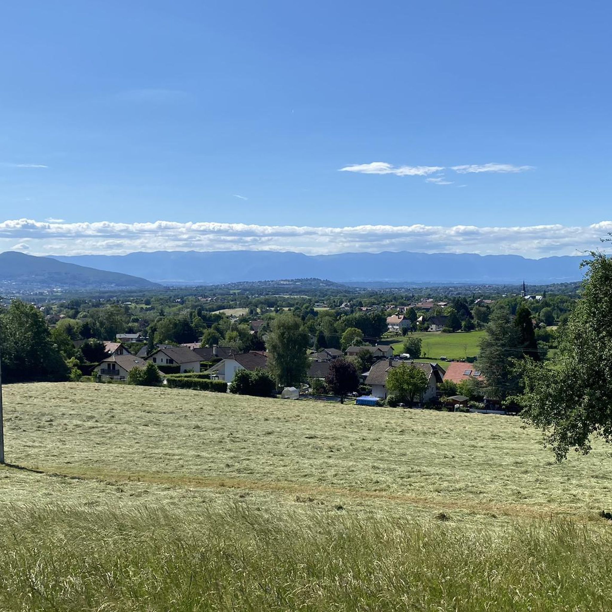
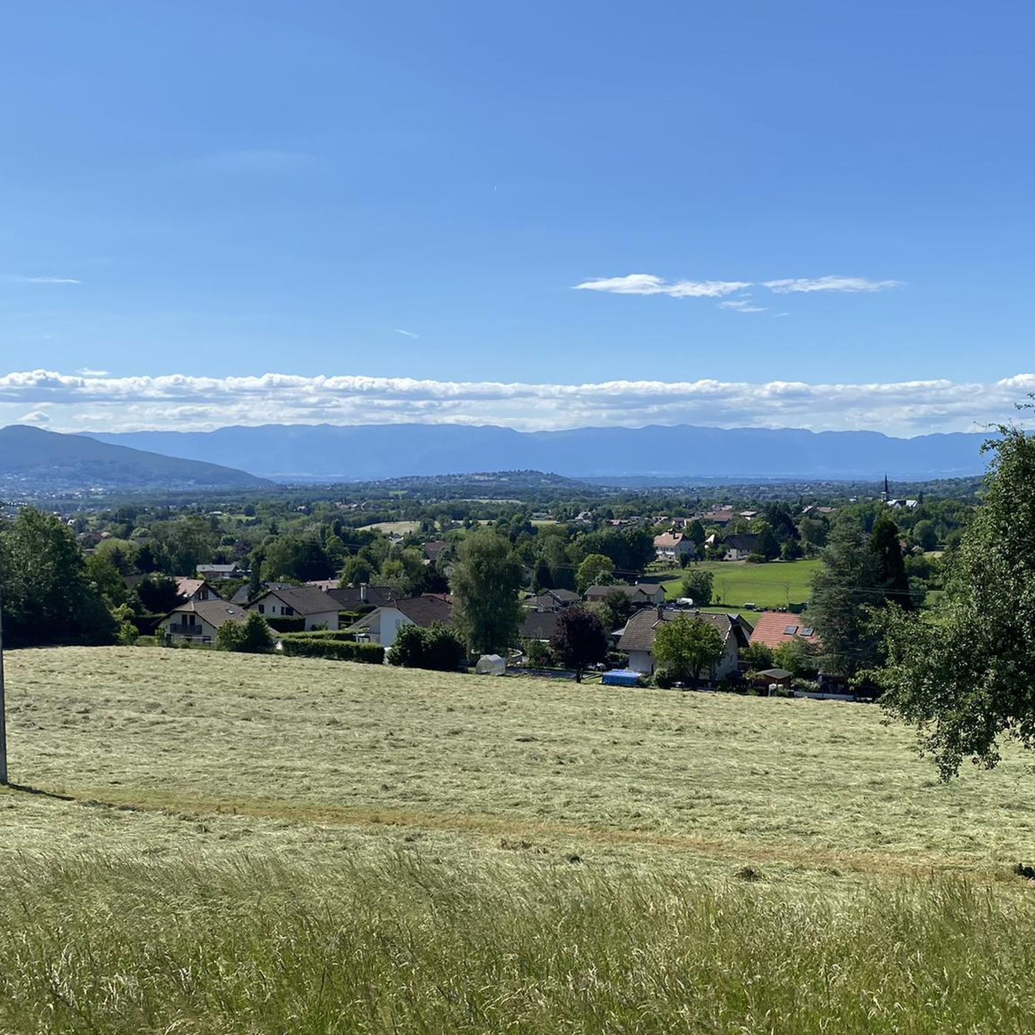
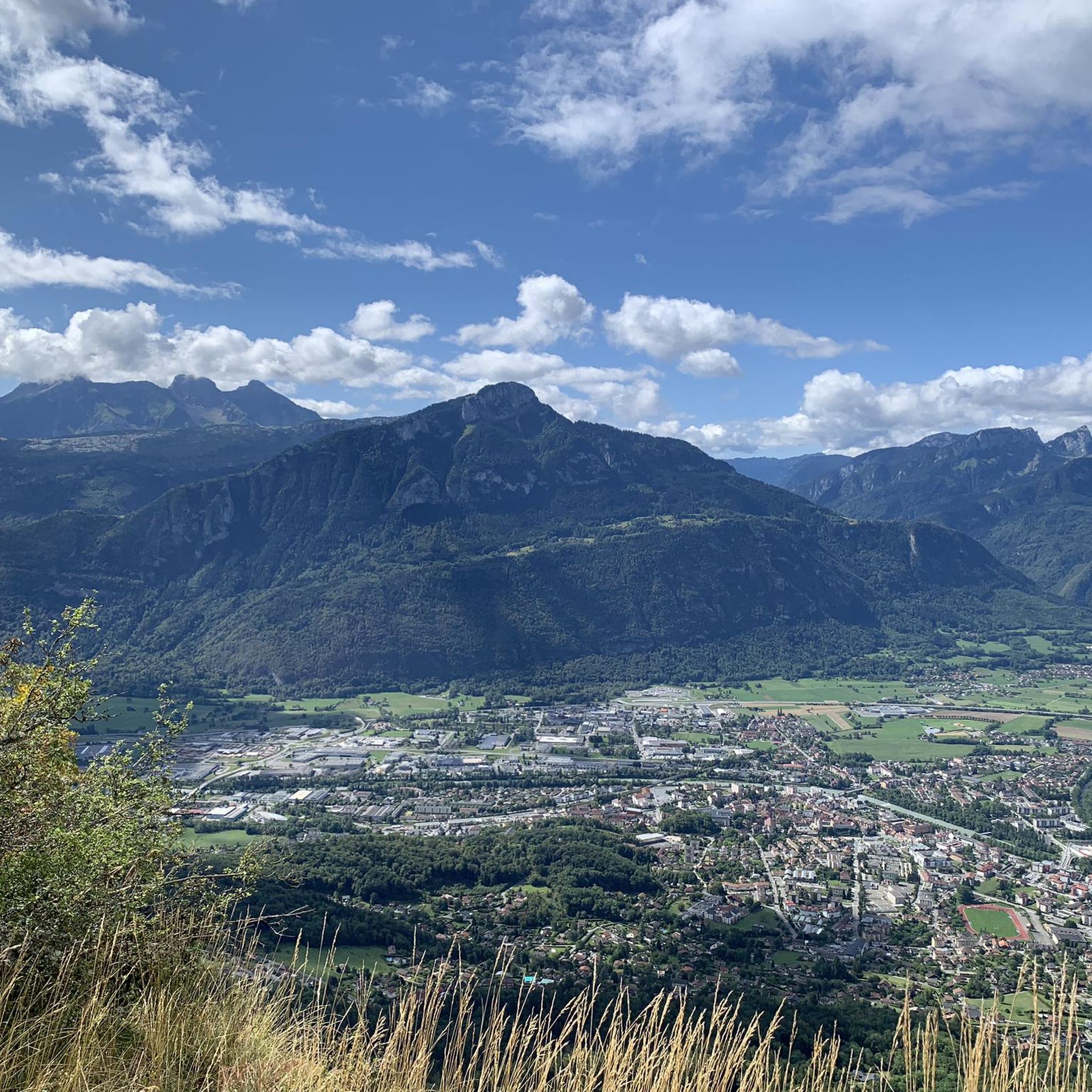
Hiking around Peillonnex offers diverse landscapes within the Haute-Savoie region of France. The area features panoramic mountain vistas, including views over the Geneva basin and ranges like Les Brasses, Le Vouan, and Les Voirons. Trails often traverse serene nature, connecting the Arve valley with the Risse and Giffre valleys, and providing outlooks towards Lake Geneva. The terrain includes forests, valleys, and elevated points offering expansive views.
Best hiking trails around Peillonnex
- The most popular hiking route is Millstone quarries at…
Last updated: June 28, 2026
4.6
(14)
124
hikers
Moderate hike. Good fitness required. Mostly accessible paths. Sure-footedness required.
4.4
(19)
90
hikers
Moderate hike. Good fitness required. Mostly accessible paths. Sure-footedness required.

Sign up for free
4.5
(4)
62
hikers
14.1km
07:35
1,250m
1,250m
Hard hike. Very good fitness required. Sure-footedness, sturdy shoes and alpine experience required.
5.0
(2)
77
hikers
2.82km
00:45
30m
30m
Easy hike. Great for any fitness level. Easily-accessible paths. Suitable for all skill levels.
4.8
(5)
34
hikers
8.44km
02:19
140m
140m
Moderate hike. Good fitness required. Easily-accessible paths. Suitable for all skill levels.
Get access to more routes and recommendations from other explorers.
Sign up for free
Already have an account?
Our route recommendations are based on thousands of hikes, rides, and runs completed by other people on komoot.
Start today with a free account
Your next adventure awaits.
Login or Signup
Tips from the Community

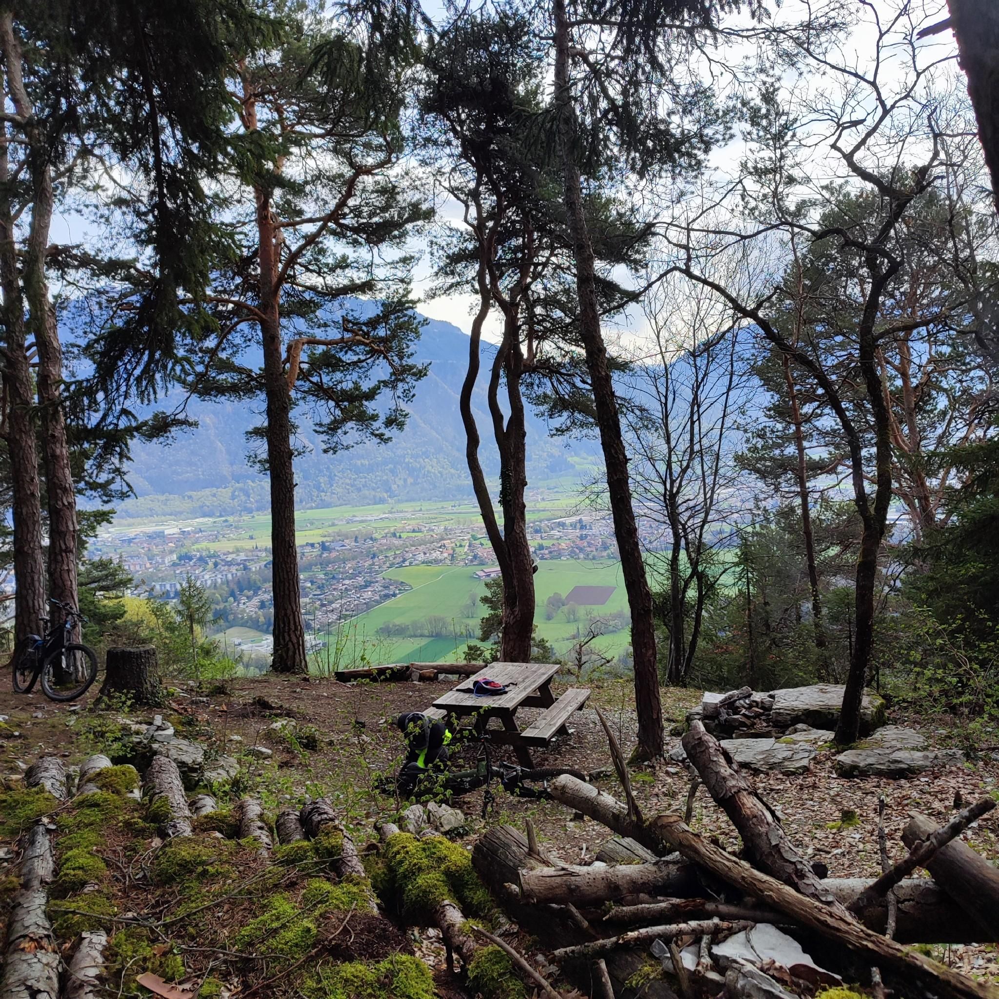
360° view of Mont-Blanc, Dents du Midi, Swiss Alps, the Jura, the Salève, Lake Geneva etc... Absolutely beautiful and with today's cloudless sky it was magnificent.
0
0

Very nice hike. It was quite crowded today. Contrary to what’s written in the description, I didn’t see any particularly risky passages
0
0


This lowland lake lies quietly in the middle of a protected and peaceful nature. A path goes around it for walkers. The lake is also an idyllic place for fishermen as well as flora and fauna enthusiasts.
1
0


In the morning you come out of the shade of the slope and forest and then you see this sub-summit of La Môle... but you have to hike to the left.
0
0

Former millstone extraction site. This millstone is impressive by its size (at least 3 caves) and its height. Watch out for any falling rocks.
0
0
Frequently Asked Questions
How many hiking trails are available around Peillonnex?
Peillonnex offers a wide variety of hiking options, with over 170 trails recorded on komoot. These routes cater to all abilities, from easy strolls to more challenging mountain ascents, exploring the diverse landscapes of the Haute-Savoie region.
Are there any easy, family-friendly hikes in Peillonnex?
Yes, Peillonnex has several easy trails suitable for families. For a shorter, gentle walk, consider the Lake Môle loop from La Tour, which is just under 3 km. The region's trails often feature serene nature and accessible paths, perfect for a family outing.
What kind of views can I expect on hikes in Peillonnex?
Hikers in Peillonnex can expect breathtaking panoramic views. Many trails offer outlooks over the Geneva basin and surrounding mountain ranges like Les Brasses, Le Vouan, and Les Voirons. You can also find magnificent views of Lake Geneva and wild mountain pastures, especially from elevated points such as the Les Balcons des Grands Prés trail.
Are there any circular hiking routes starting directly from Peillonnex?
Yes, for a convenient circular journey directly from the village, you can explore the Marcellaz Contour 1 loop from Peillonnex. This moderate 8.4 km path showcases local scenery and is a popular choice for those looking to start and end their hike in Peillonnex.
What are some interesting natural attractions or landmarks to see while hiking?
The area around Peillonnex is rich in natural and historical attractions. You can visit the Copacou Stone, an archaeological site with a magnificent valley view. Another tranquil spot is La Gouille aux Morts, a peaceful pond known for its wildlife. The Col de Réray also offers scenic beauty as a crossing point between valleys.
Are there any hikes that explore historical sites?
Yes, you can combine hiking with historical exploration. The Millstone quarries at Vachat – The Meulière Cave loop from Bourguignons (parking) is a moderate trail that takes you through historical quarry sites, offering a glimpse into the region's past.
What do other hikers say about the trails in Peillonnex?
The hiking routes in Peillonnex are highly regarded by the komoot community, holding an average rating of 4.6 stars from over 560 reviews. Hikers often praise the diverse terrain, from forested paths to panoramic mountain vistas, and the well-maintained trails suitable for various skill levels.
Are there any challenging hikes for experienced trekkers?
For experienced trekkers seeking a challenge, the Le Môle summit cross – Le Môle summit loop from La Tour is an excellent option. This difficult 14.1 km trail leads through mountain terrain to the summit of Le Môle, offering a significant ascent and rewarding views.
Is public transport available to reach hiking trailheads near Peillonnex?
While specific public transport connections to every trailhead can vary, Peillonnex is situated in the Haute-Savoie region, which generally has regional bus services. For detailed information on reaching specific trailheads by public transport, it's advisable to check local bus schedules or contact the regional tourism office.
What is the best time of year to go hiking in Peillonnex?
The Haute-Savoie region, including Peillonnex, is ideal for hiking from spring through autumn. During these seasons, the weather is generally pleasant, and the trails are clear of snow, allowing access to the full range of landscapes from valleys to mountain pastures. Summer offers lush greenery and warmer temperatures, while spring and autumn provide vibrant colors and fewer crowds.
Are there any longer moderate hikes available?
Yes, if you're looking for a longer moderate hike, consider the The Meulière Cave – Millstone quarries at Vachat loop from Bourguignons (parking). This route covers approximately 12.7 km and offers an extended exploration of the area's natural beauty and historical sites.
Most popular routes around Peillonnex
Most popular attractions around Peillonnex

Get inspired with the komoot mobile app


Explore more
Browse the best Hikes in other regions.
