The best walks and hikes around Lama
4.6
(742)
3,775
hikers
44
hikes
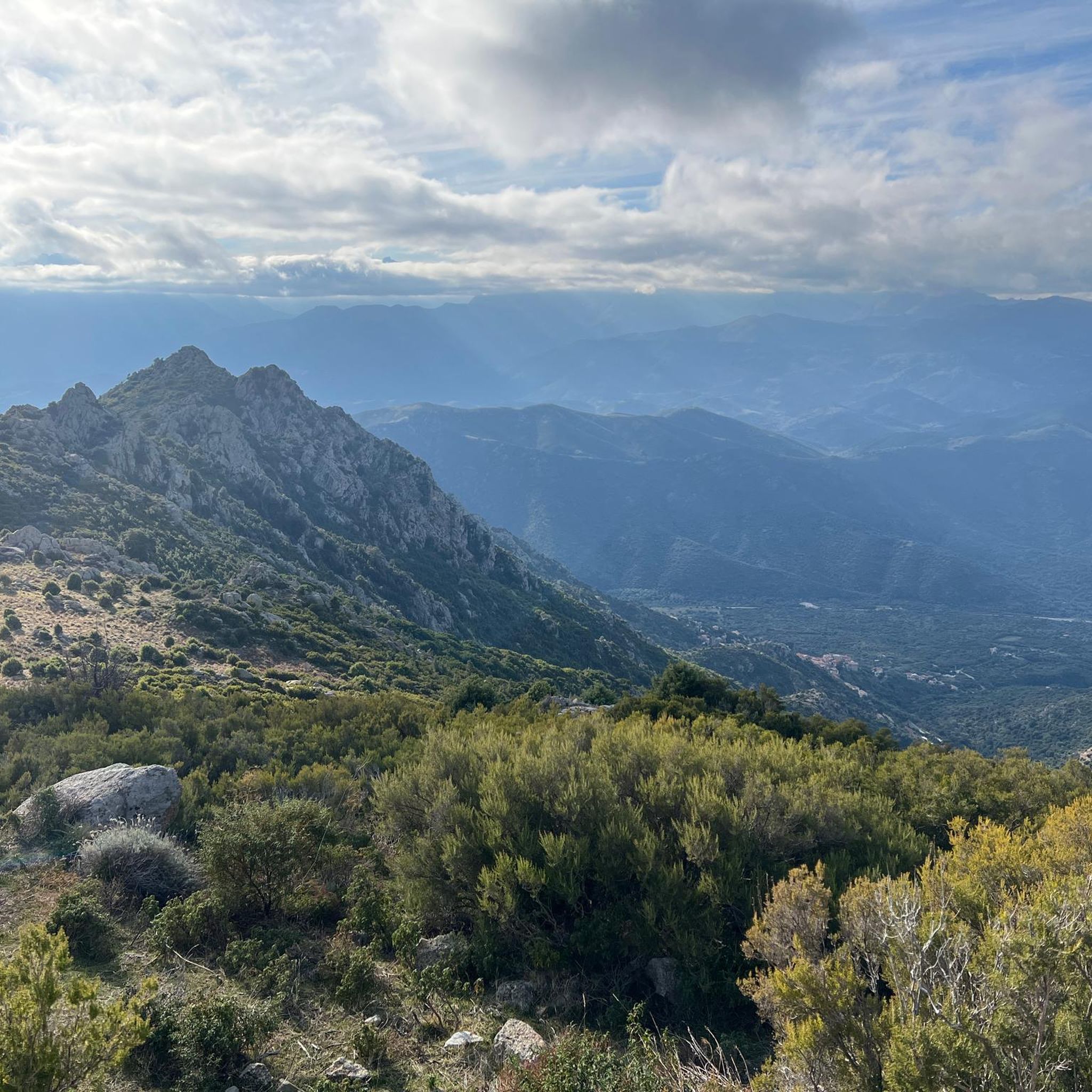
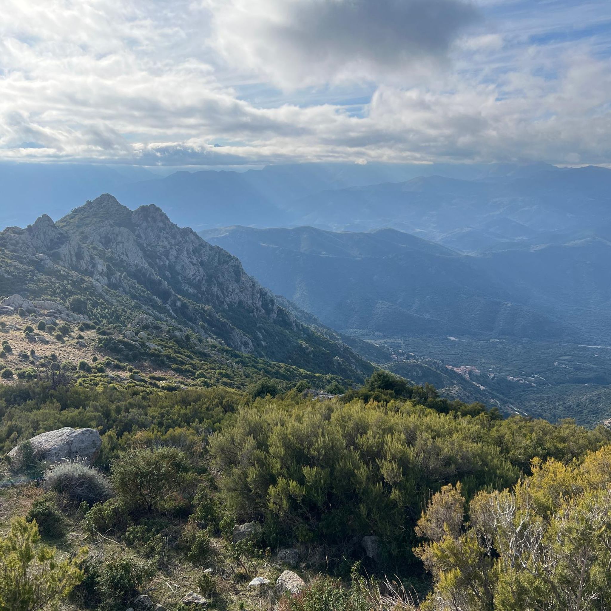
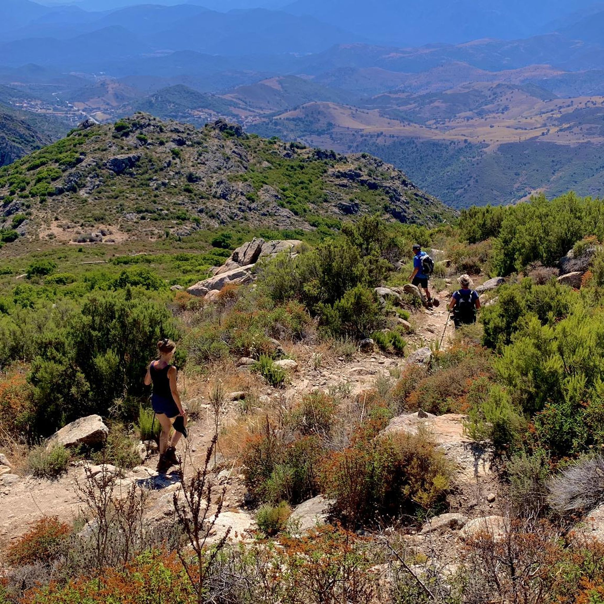
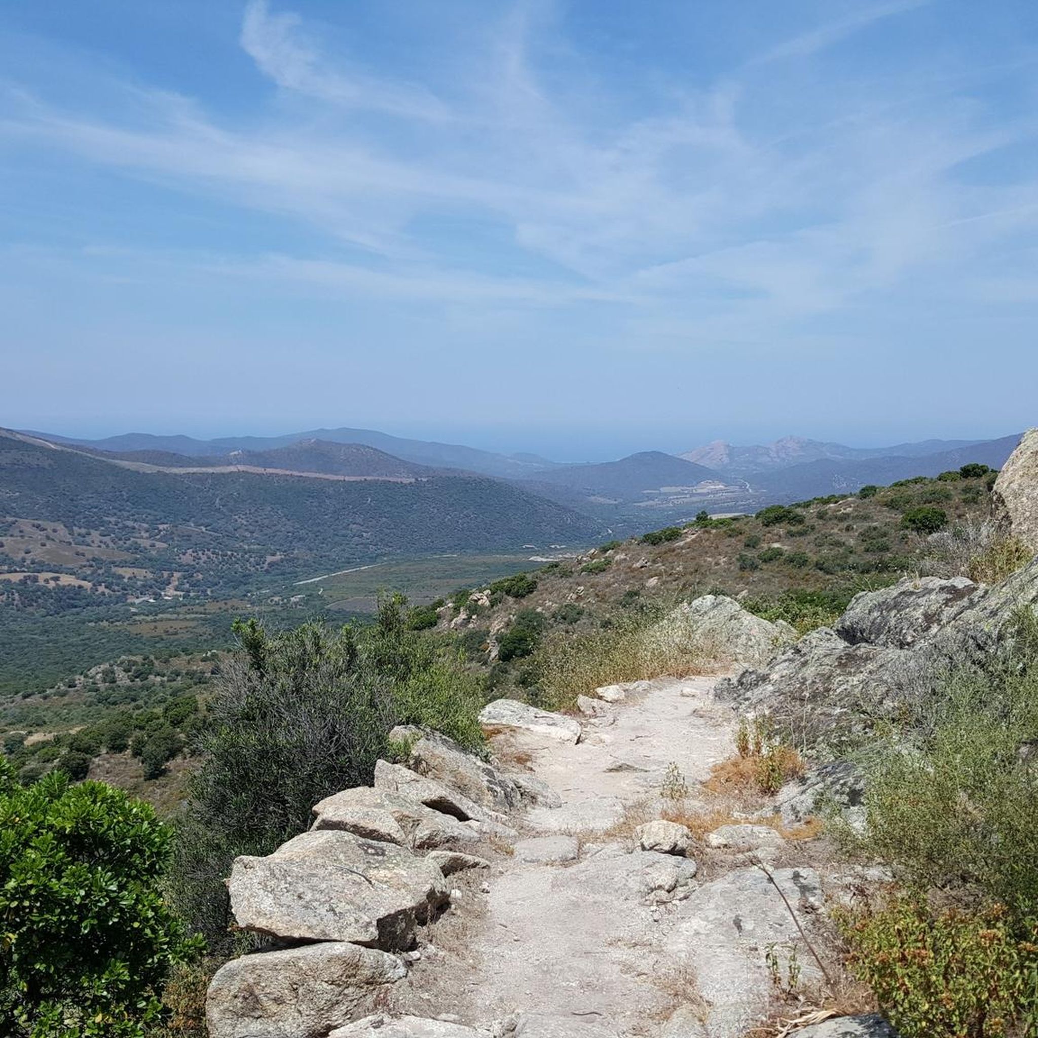
Hiking around Lama offers diverse trails through mountainous terrain and historic landscapes in Corsica. The region is characterized by the Ostriconi Valley, the Serra di Tenda mountain range, and the prominent Monte Astu. Trails often pass through maquis shrubland, agro-pastoral areas with terraced farming, and offer views of the Mediterranean coast.
Best hiking trails around Lama
- The most popular hiking route is Monte Asto, a 7.7 miles (12.4 km) difficult trail that takes 6 hours 7 minutes to complete. This challenging ascent leads to the highest peak in the Serra di Tenda, offering panoramic views.
- Another top favourite among local hikers is Village of Lama – Narrow streets in Lama loop from Lama, a moderate 2.2 miles (3.5 km) path. This route explores the historic village with its narrow alleys and traditional architecture.
- Local hikers also love the Lama Village – View of Lama loop from Lama, a 4.3 miles (7.0 km) trail leading through the surrounding hills and offering scenic views of the village, often completed in about 3 hours 21 minutes.
- Hiking around Lama is defined by mountainous terrain, historic villages, and Mediterranean maquis. The network offers options for different ability levels, from challenging mountain ascents to leisurely village loops.
- The routes in Lama are highly rated by the komoot community with an average score of 4.5 stars from over 600 reviews. More than 3000 hikers have used komoot to explore Lama's varied terrain.
Last updated: August 18, 2026
4.8
(68)
387
hikers
12.4km
06:07
970m
970m
Hard hike. Very good fitness required. Mostly accessible paths. Sure-footedness required.
4.7
(31)
112
hikers
3.52km
01:24
200m
200m
Moderate hike. Great for any fitness level. Mostly accessible paths. Sure-footedness required.

Sign up for free
4.7
(26)
105
hikers
7.14km
03:25
530m
530m
Moderate hike. Good fitness required. Mostly accessible paths. Sure-footedness required.
4.2
(19)
58
hikers
7.82km
02:28
210m
210m
Moderate hike. Good fitness required. Mostly accessible paths. Sure-footedness required.
4.3
(20)
65
hikers
10.3km
03:29
380m
370m
Moderate hike. Good fitness required. Mostly accessible paths. Sure-footedness required.
Get access to more routes and recommendations from other explorers.
Sign up for free
Already have an account?
Our route recommendations are based on thousands of hikes, rides, and runs completed by other people on komoot.
Start today with a free account
Your next adventure awaits.
Login or Signup

Tips from the Community

From the first few metres, this path that starts from Lama and goes up to Monte Astu, 1,000 metres higher, offers superb views. In particular, you can observe the rural heritage of the village with a bit of perspective.
0
0

Lama is a municipality on the Mediterranean island of Corsica in France. It belongs to the department of Haute-Corse, the arrondissement of Corte and the canton of L'Île-Rousse. It borders Urtaca to the north, San-Gavino-di-Tenda to the northeast, Sorio to the southeast, Pietralba to the south and Novella to the west. The settlement area is approximately 480 meters above sea level. Source Wikipedia
0
0
Urtaca (Corsican Urtaca) is a municipality on the French Mediterranean island of Corsica. It belongs to the department of Haute-Corse, the arrondissement of Calvi and the canton of L'Île-Rousse. The inhabitants call themselves Urtacais or Urtacacci. The settlement area is located at approximately 360 meters above sea level. The neighboring municipalities are San-Gavino-di-Tenda to the north and east, Lama to the south, Novella to the southwest and west and Palasca to the northwest. Source Wikipedia
0
0

The village of Lama is nestled in the mountains of Corsica, offering you a charming glimpse into traditional rural life with its stone houses, narrow streets and panoramic views of the surrounding valleys. You will notice the unique blend of medieval architecture and terraced gardens that cascade down the hills.
1
0

If you use the early morning, you can complete the first few meters of altitude in the protection of the mountain shadow
0
0
Great view from above. The old summit cross was still there when we visited.
1
0

Walking route to Monte Astu is an extension. Keep an eye on the weather: it seemed to be well predicted, but I arrived in cloudy skies. (Tour made on May 15, 2024
0
0
Frequently Asked Questions
How many hiking trails are there around Lama?
Lama offers a diverse network of over 40 hiking trails. These routes vary in difficulty, ranging from leisurely village loops to challenging mountain ascents, ensuring options for all experience levels.
Are there easy hiking trails suitable for beginners or families with young children?
Yes, Lama has 16 easy trails perfect for beginners or families. These routes often explore the historic village and its immediate surroundings. For example, the Village of Lama – Narrow streets in Lama loop from Lama is a moderate 2.2-mile path that allows you to explore the charming alleys and traditional architecture at a comfortable pace.
What kind of landscapes can I expect to see while hiking in Lama?
Hiking in Lama, Corsica, offers a blend of mountainous terrain, historic agro-pastoral landscapes, and Mediterranean maquis shrubland. You'll find trails passing through ancient mule tracks, terraced farming areas, and dense aromatic maquis, with many routes providing scenic views of the Ostriconi Valley and glimpses of the Mediterranean coast.
Are there any circular hiking routes around Lama?
Yes, many routes around Lama are circular, allowing you to start and end in the same location. A popular moderate option is the Lama Village – View of Lama loop from Lama, a 4.3-mile trail offering scenic views of the village and surrounding hills.
What are some challenging hikes for experienced trekkers in the Lama area?
For experienced trekkers, the ascent of Monte Astu is highly recommended. This difficult 7.7-mile trail leads to the highest peak in the Serra di Tenda mountain range, offering panoramic views of northern Corsica from its 1,535-meter summit.
What do other hikers enjoy most about the trails in Lama?
The trails in Lama are highly rated by the komoot community, with an average score of 4.5 stars from over 600 reviews. Hikers frequently praise the diverse landscapes, the charm of the historic village, and the rewarding panoramic views from higher elevations.
Are there any interesting landmarks or attractions to see near the hiking trails?
Yes, the region around Lama is rich in attractions. You can explore the historic village of Lama itself with its narrow alleys and vaulted passages. Nearby, you might visit the charming settlement of Belgodère, or enjoy the coastal beauty of Ostriconi Beach. For cultural interest, the San Michele de Murato Church is also within reach.
Is it possible to reach hiking trailheads around Lama using public transport?
While Lama is a charming village, public transport options directly to all trailheads can be limited. It's advisable to check local bus schedules if you plan to rely on public transport. Many visitors prefer to use a car to access the wider range of hiking opportunities in the region.
Are there specific parking facilities available for hikers in Lama?
Parking is generally available within or near the village of Lama, often in designated areas. For specific trailheads outside the village, it's best to check local signage or information for suitable parking spots, especially during peak season.
Can I find trails that offer views of the sea or coast?
Yes, given Lama's location between the mountains and the sea, many higher-elevation trails, particularly those in the Serra di Tenda range, offer stunning panoramic views that include the Mediterranean coast and the Ostriconi Valley.
What is the best time of year to go hiking in Lama?
The best time to hike in Lama, Corsica, is typically during spring (April-June) and autumn (September-October). During these seasons, the weather is pleasant, temperatures are mild, and the landscapes are vibrant, making for ideal hiking conditions. Summers can be hot, especially for more strenuous climbs.
Most popular attractions around Lama

Get inspired with the komoot mobile app


Explore more
Browse the best Hikes in other regions.
