The best running trails around Champagneux
4.3
(64)
1,740
runners
186
runs
Jogging routes Champagneux offer diverse terrain in the Savoie department of Auvergne-Rhône-Alpes, France. The region features riverside paths along the Rhône and Guiers, rolling countryside, and vineyards. Views of the Alps are present, providing a varied backdrop for running. The landscape includes areas like the Chautagne poplar grove and the Lavours marshes, suitable for serene runs.
Best jogging routes around Champagneux
- The most popular jogging route is Mont de Cordon Loop, a 4.2 miles (6.7 km) trail that takes…
Last updated: May 20, 2026
26
runners
6.75km
00:52
170m
170m
Moderate run. Good fitness required. Mostly accessible paths. Some sure footedness required.
5.0
(2)
26
runners
12.1km
01:15
20m
20m
Moderate run. Good fitness required. Mostly paved surfaces. Suitable for all skill levels.

Sign up for free
13
runners
4.79km
00:30
40m
40m
Easy run. Great for any fitness level. Mostly paved surfaces. Suitable for all skill levels.
15
runners
8.33km
00:52
30m
30m
Moderate run. Good fitness required. Mostly paved surfaces. Suitable for all skill levels.
6
runners
11.6km
01:31
450m
450m
Hard run. Very good fitness required. Mostly paved surfaces. Suitable for all skill levels.
Get access to more routes and recommendations from other explorers.
Sign up for free
Already have an account?
Our route recommendations are based on thousands of hikes, rides, and runs completed by other people on komoot.
Start today with a free account
Your next adventure awaits.
Login or Signup

Tips from the Community

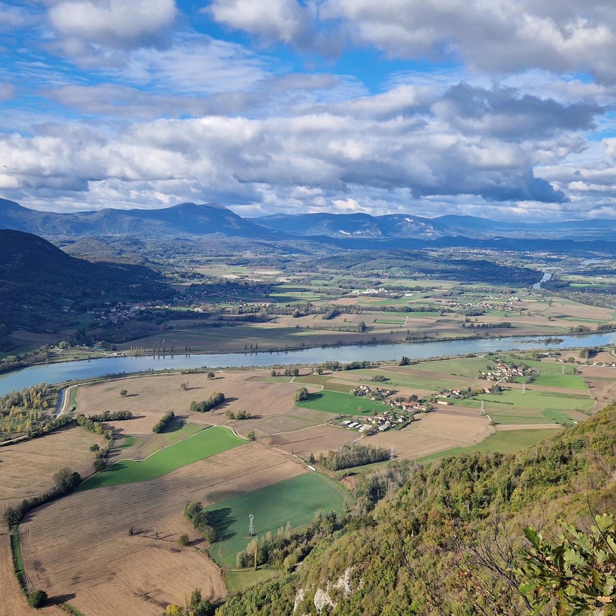
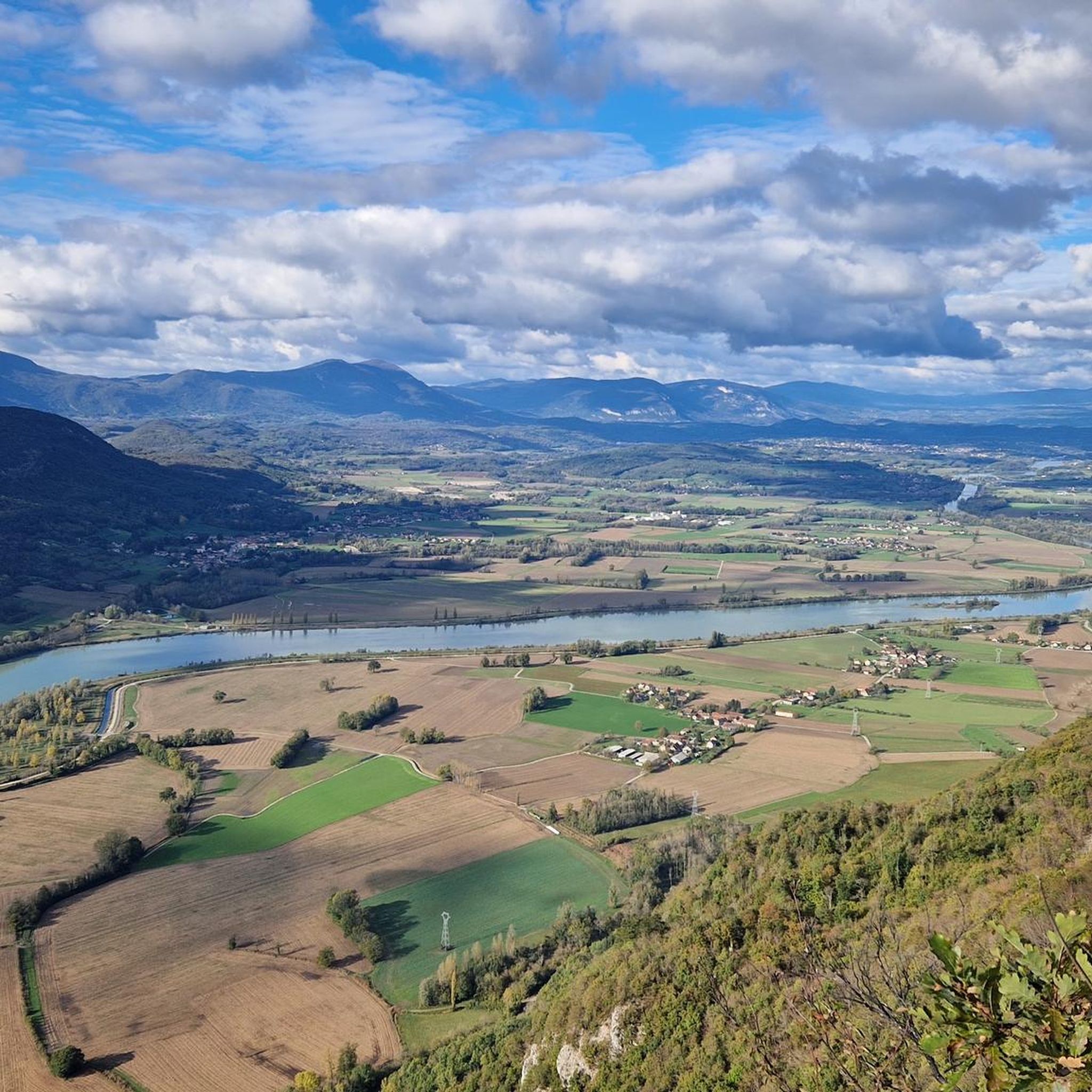
Very beautiful view of the Rhône.
0
0

Dizzying belvedere from the top of Mont Tournier, view of the Grand Thur, the Grand Colombier and of course the Rhône.
1
0


you can start well from here
1
1

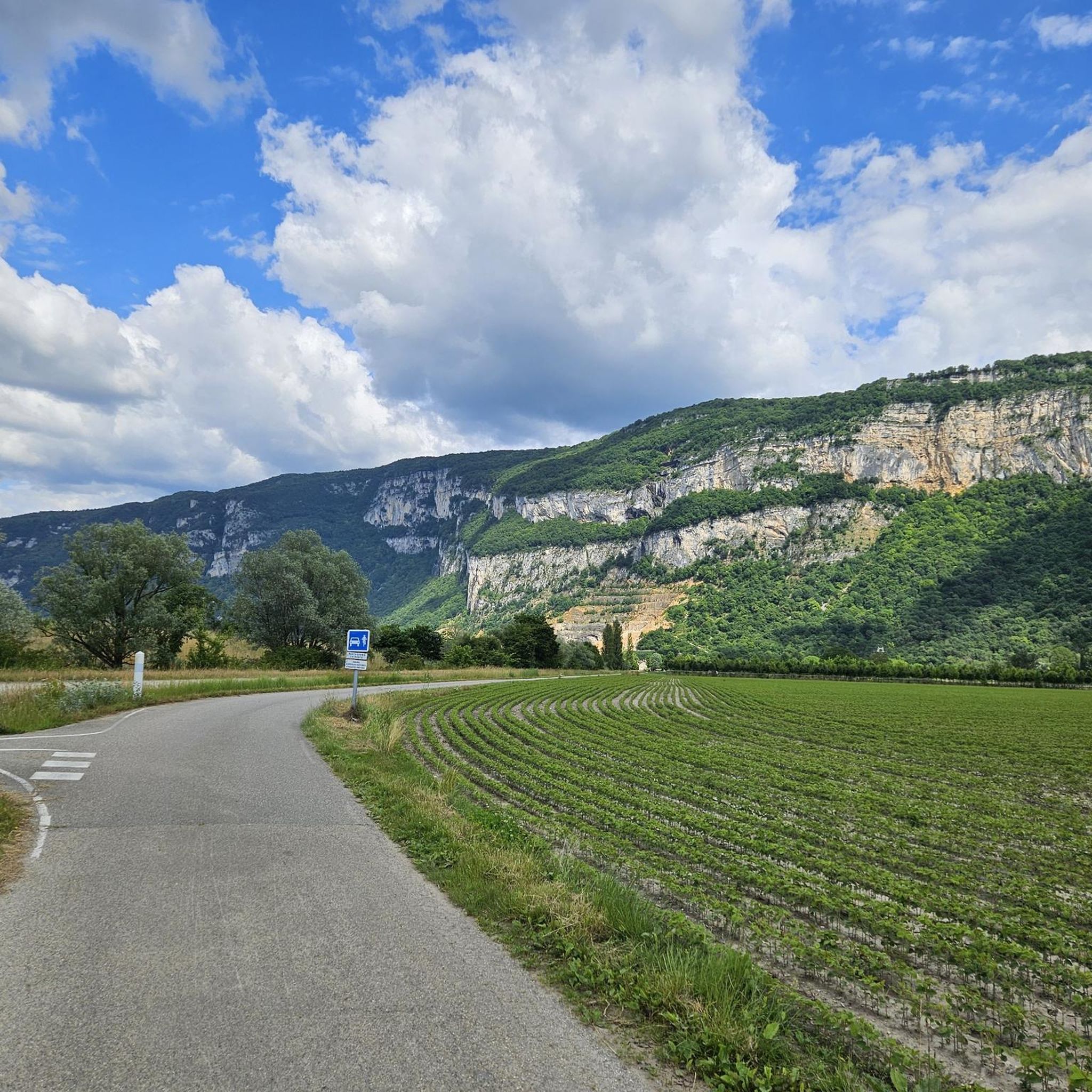
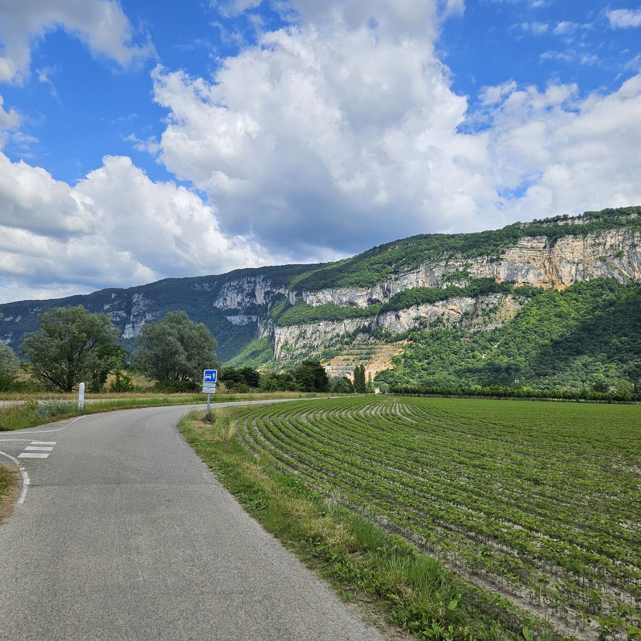
A pleasant place to stop and have a picnic on the ViaRhôna cycle path.
1
0

Mont de Cordon is a 401m high mountain. It houses the Château de la Barre which dominates the Rhône and would have once controlled its passage. For only 401m in height, it offers spectacular views.
2
0

Perfect for a short break
0
0

Nice and quiet place on the Rhone - good for a break.
1
0
Frequently Asked Questions
How many running routes are available in Champagneux?
There are over 170 running routes around Champagneux, offering a wide variety of options for all fitness levels. You'll find everything from easy riverside paths to more challenging trails with elevation.
What kind of terrain can I expect on running routes in Champagneux?
The running routes in Champagneux offer diverse terrain. You can expect picturesque riverside paths along the Rhône and Guiers, rolling countryside, and scenic vineyards. Many routes also provide distant views of the majestic Alps, making for a varied and engaging running experience.
Are there any easy or beginner-friendly running routes in the area?
Yes, Champagneux offers several easy running routes suitable for beginners. There are 16 routes classified as easy, perfect for a gentle jog or a warm-up run. These often follow flatter sections along the rivers or through the countryside.
Can I find circular running routes around Champagneux?
Absolutely. Many of the running routes in Champagneux are circular, allowing you to start and finish at the same point. Popular options include the Mont de Cordon Loop and the Vachon Island loop from Saint-Genix-Sur-Guiers, which are well-loved by local runners.
Are there any scenic viewpoints or natural attractions along the running trails?
Yes, several running routes offer stunning natural attractions and viewpoints. You might encounter the impressive Glandieu Waterfall, the dramatic Rochefort Cliffs, or enjoy panoramic views of the Rhône from the Belvédère du Site des Fils. The ViaRhôna Cycle Path also offers continuous scenic views along the river.
What are some longer running routes for experienced runners?
For those seeking a longer challenge, routes like the Pont du Guiers and Fish Ladder – Vachon Island loop from Aoste cover nearly 15 km. Another excellent option is the Côte Envers – Vachon Island loop from Saint-Genix-Sur-Guiers, which extends over 12 km through rolling countryside.
Are the running routes in Champagneux suitable for families?
Many routes in Champagneux are suitable for families, especially the easier, flatter paths along the rivers like the Guiers or sections of the ViaRhôna. These offer a safe and enjoyable environment for a family jog or walk, allowing everyone to appreciate the natural beauty.
Can I bring my dog on the running trails in Champagneux?
Generally, many outdoor trails in the region are dog-friendly, especially those in natural areas and along riverbanks. However, it's always recommended to keep your dog on a leash, especially in agricultural areas, near wildlife, or where specific signage indicates. Always be mindful of local regulations.
What do other runners say about the routes in Champagneux?
The running routes in Champagneux are highly rated by the komoot community, with an average score of 4.4 stars from over 50 reviews. More than 1,500 runners have explored the area, often praising the diverse landscapes, well-maintained paths, and the beautiful views of the rivers and distant Alps.
Are there routes that follow rivers or offer waterside views?
Yes, Champagneux is known for its excellent riverside running opportunities. The region is bordered by the Rhône and Guiers rivers, and paths like the ViaRhôna Cycle Path offer extensive, well-maintained routes directly alongside the water, providing continuous scenic views and a refreshing atmosphere.
Is there parking available near the running trailheads?
Parking is generally available near popular trailheads and villages in the Champagneux region. For specific routes, it's advisable to check the route details on komoot, as many start points in towns like Saint-Genix-Sur-Guiers or Aoste will have designated parking areas.
What is the best time of year to go running in Champagneux?
The spring and autumn months are generally ideal for running in Champagneux, offering pleasant temperatures and beautiful scenery as the landscape changes. Summer can also be enjoyable, especially in the mornings or evenings, though some paths might be more exposed to the sun. Winter running is possible, but be prepared for cooler temperatures and potentially wet conditions.
Are there any routes that pass by interesting historical or cultural sites?
While many routes focus on natural beauty, some trails can incorporate historical elements. The region research mentions the 'Circuit du patrimoine de Montferrat' which includes natural sites and ancient buildings. Additionally, you might pass by landmarks like the View of the Balme bridge or a Restored Washhouse, adding a cultural touch to your run.
Most popular routes around Champagneux
Most popular attractions around Champagneux

Get inspired with the komoot mobile app


Explore more
Browse the best Running Trails & Routes in other regions.
