The best walks and hikes around Saint-Jean-De-Chevelu
4.5
(602)
6,530
hikers
23
hikes
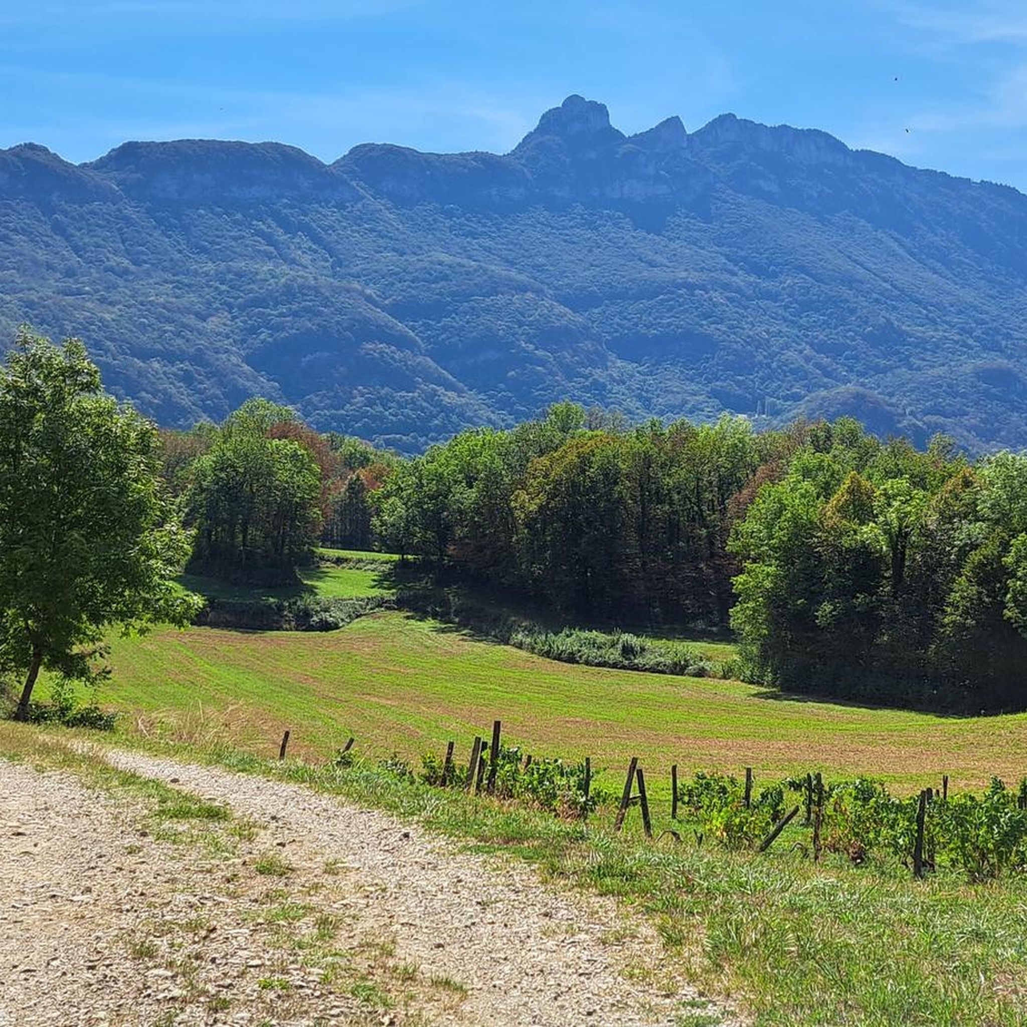
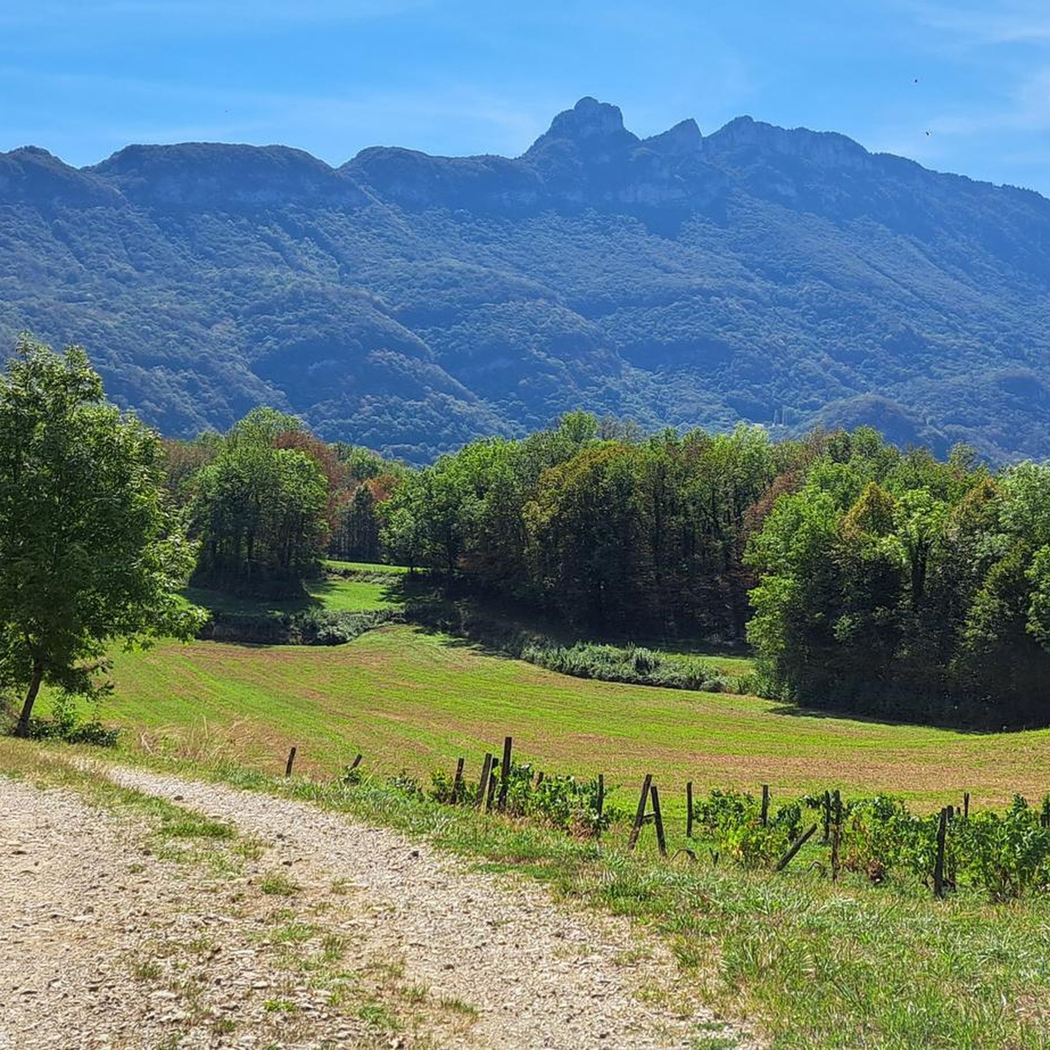
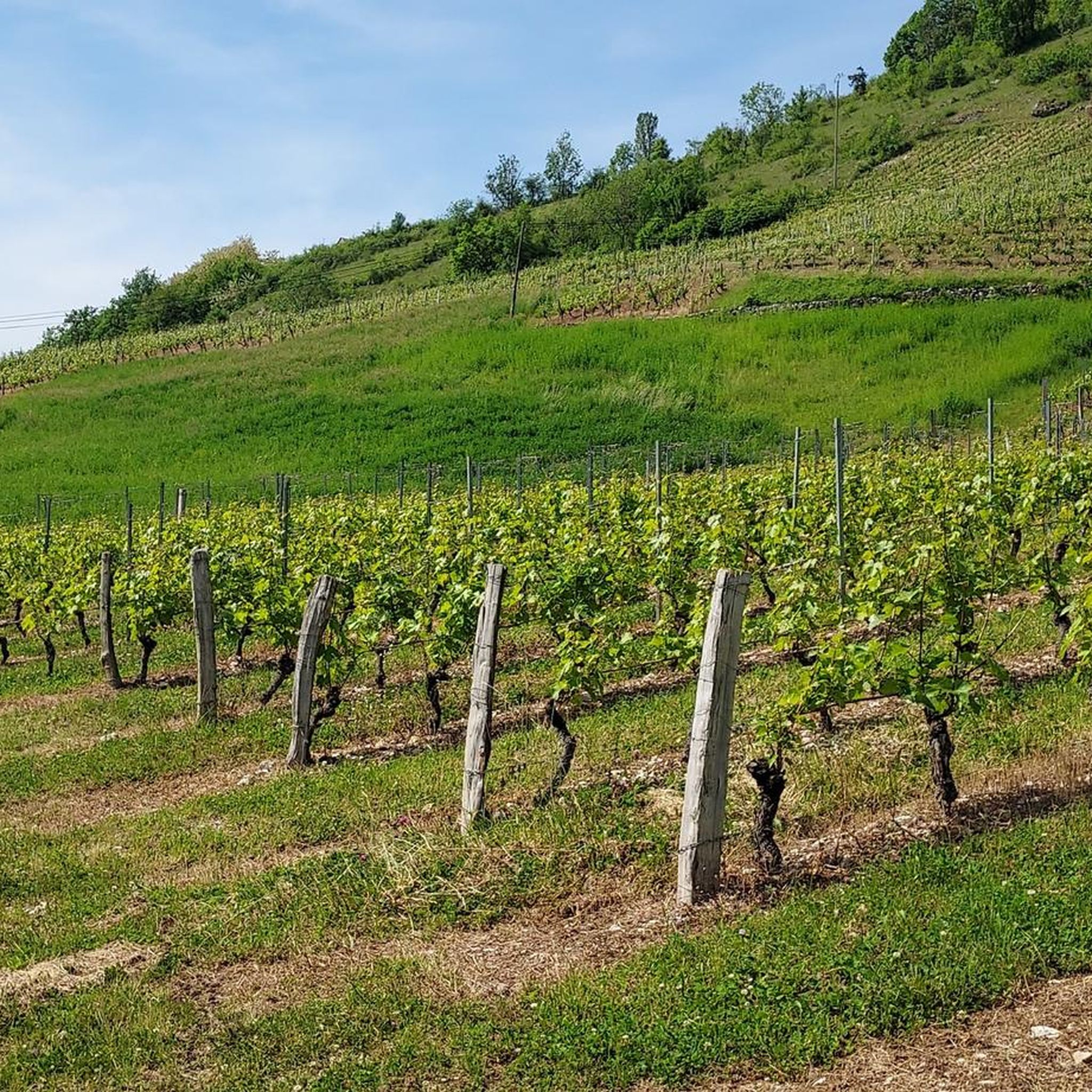
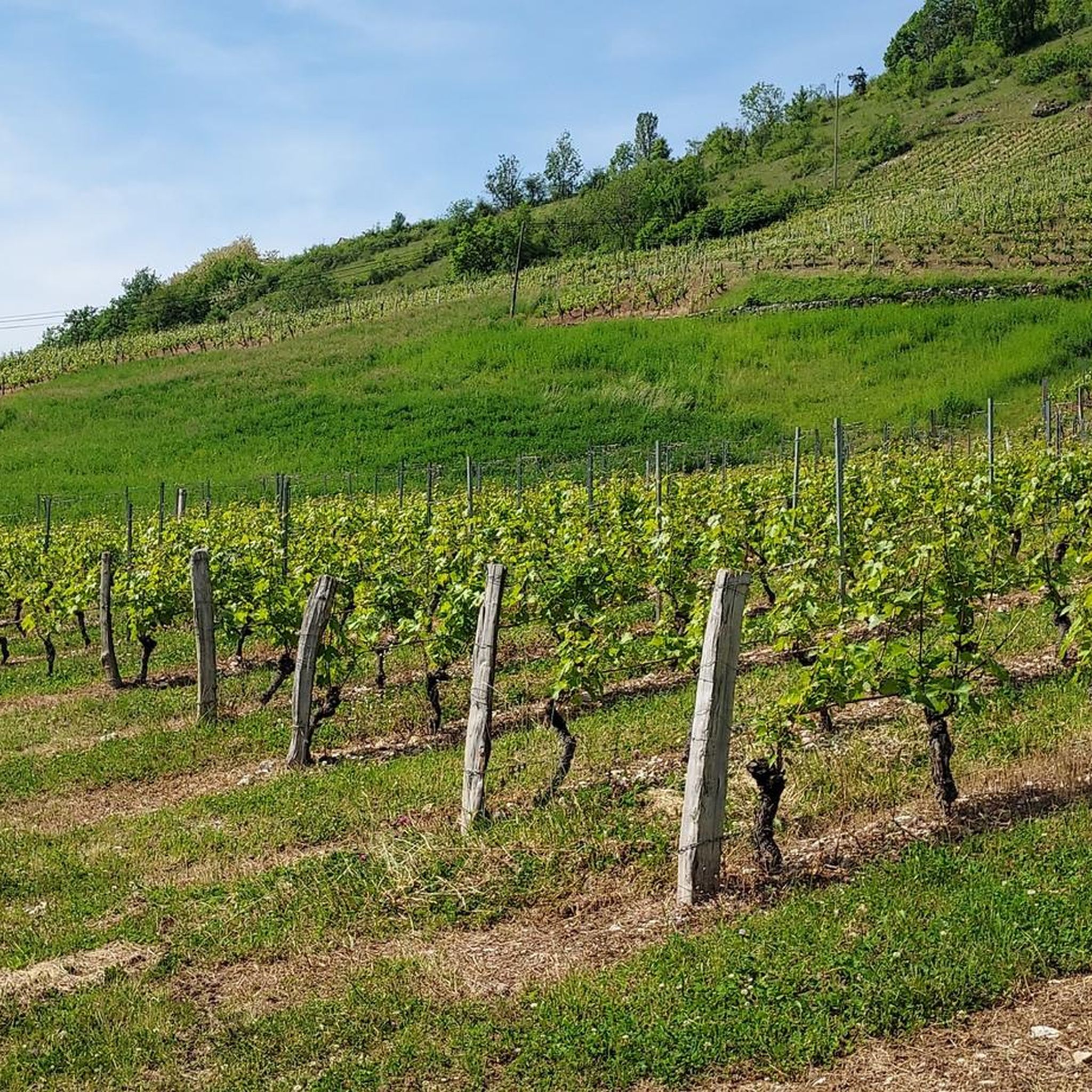
Hiking around Saint-Jean-De-Chevelu offers diverse terrain shaped by glacial history in the Savoie department of France. The region features two distinct Chevelu lakes, surrounded by protected marshes and streams, nestled between the Lierre mountain and Mont de la Charvaz. The towering Dent du Chat mountain forms a dramatic backdrop, providing more challenging routes. Trails traverse picturesque hamlets, dense woods, open meadows, and Savoyard vineyards.
Best hiking trails around Saint-Jean-De-Chevelu
- The most popular hiking route is View Lac de Chevelu (North) – Beautiful cart track loop from Saint-Jean-de-Chevelu, a 5.0 miles (8.0 km) trail that takes 2 hours 15 minutes to complete. This moderate route offers views of Lac de Chevelu.
- Another top favourite among local hikers is Lac de Saint-Jean-de-Chevelu – Beautiful cart track loop from Saint-Jean-de-Chevelu, an easy 3.1 miles (5.0 km) path. This loop circles the lake, providing accessible views of the natural surroundings.
- Local hikers also love the Dent du Chat summit – Cat's Tooth loop from Saint-Jean-de-Chevelu, a 9.0 miles (14.4 km) trail leading through mountainous terrain to the summit, often completed in about 6 hours 29 minutes.
- Hiking around Saint-Jean-De-Chevelu is defined by serene lakes, protected marshlands, and a dramatic mountainous backdrop. The network offers options for different ability levels, from easy lakeside strolls to challenging mountain ascents.
- The routes in Saint-Jean-De-Chevelu are highly rated by the komoot community with an average score of 4.5 stars from over 500 reviews. More than 6000 hikers have used komoot to explore Saint-Jean-De-Chevelu's varied terrain.
Last updated: June 28, 2026
4.7
(41)
171
hikers
8.02km
02:16
170m
170m
Moderate hike. Good fitness required. Easily-accessible paths. Suitable for all skill levels.
4.4
(21)
95
hikers
Easy hike. Great for any fitness level. Easily-accessible paths. Suitable for all skill levels.

Sign up for free
5.0
(4)
77
hikers
Moderate hike. Good fitness required. Mostly accessible paths. Sure-footedness required.
5.0
(4)
58
hikers
14.0km
06:35
1,050m
1,050m
Hard hike. Very good fitness required. Sure-footedness, sturdy shoes and alpine experience required.
4.4
(5)
49
hikers
11.5km
05:53
970m
970m
Hard hike. Very good fitness required. Sure-footedness, sturdy shoes and alpine experience required.
Get access to more routes and recommendations from other explorers.
Sign up for free
Already have an account?
Our route recommendations are based on thousands of hikes, rides, and runs completed by other people on komoot.
Start today with a free account
Your next adventure awaits.
Login or Signup
Popular around Saint-Jean-De-Chevelu
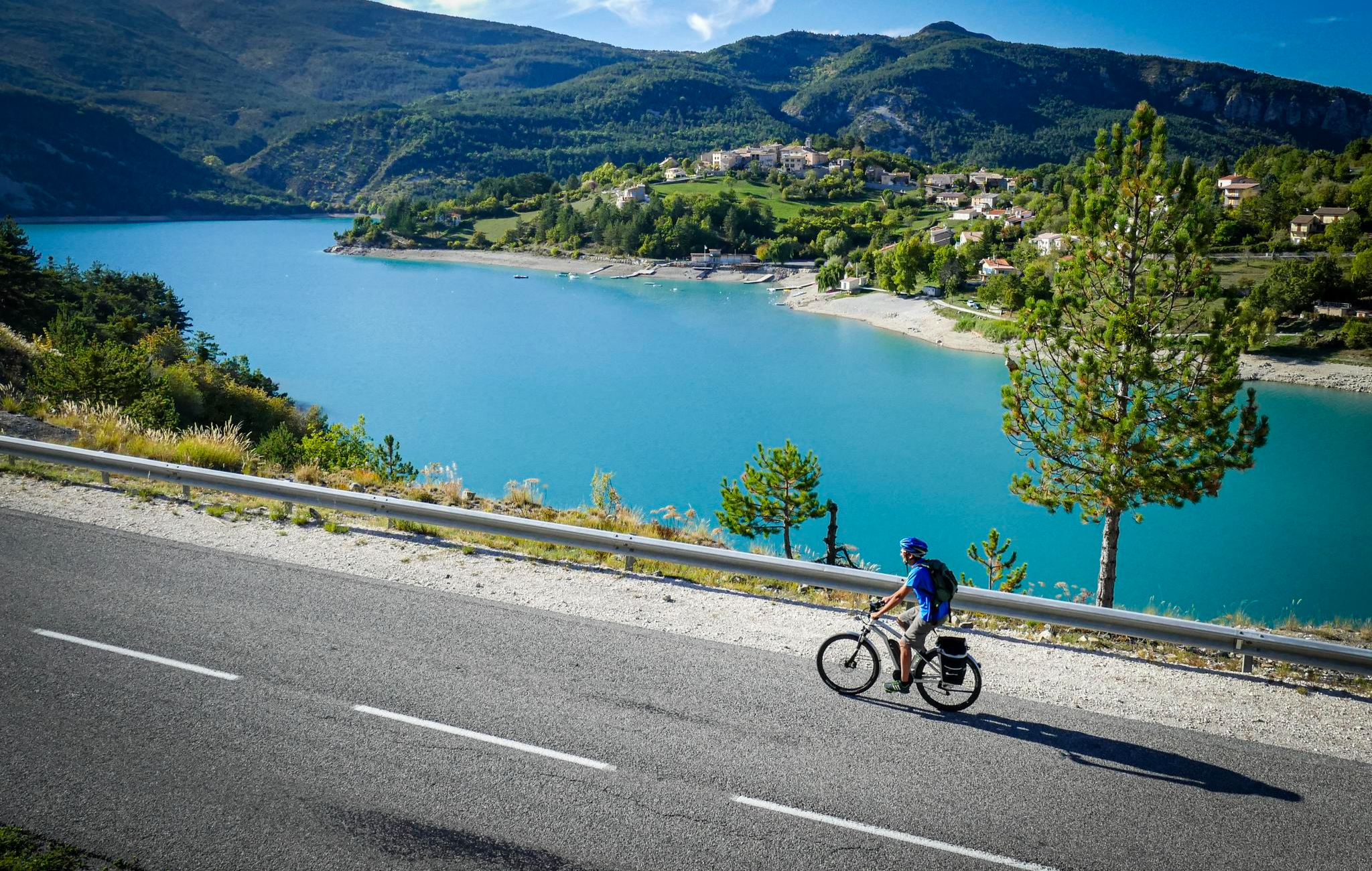
P'tites Routes du Soleil (Little Routes of the Sun)
Cycling around Saint-Jean-De-Chevelu
MTB Trails around Saint-Jean-De-Chevelu
Road Cycling Routes around Saint-Jean-De-Chevelu

Gravel biking around Saint-Jean-De-Chevelu

Mountain Hikes around Saint-Jean-De-Chevelu
Running Trails around Saint-Jean-De-Chevelu
Other adventures around Saint-Jean-De-Chevelu

Tips from the Community

Beautiful view of the lake.
0
0

It's a must-see place with a magnificent view of Lake Bourget.
1
0

Aerial passage via ladders with gas, not recommended for beginners. Avoid summer weekends, as crowded conditions can cause traffic jams.
0
0

Great view of the towering Mont Blanc
0
0

To reach this place you have to climb steeply via ladders and hold on to ropes, but it is really worth it.
0
0

Incredible 360 degree view of Lac du Bourget, Dent du Chat, etc...
0
0
Hike to the summit of the famous Dent du Chat! The access is equipped with ladders and ropes, so only the bravest and most experienced are welcome!
0
0
Frequently Asked Questions
How many hiking trails are available in Saint-Jean-De-Chevelu?
There are over 20 hiking routes around Saint-Jean-De-Chevelu, catering to various skill levels. You'll find 5 easy routes, 12 moderate routes, and 6 difficult trails, ensuring options for everyone from casual walkers to experienced mountaineers.
What kind of terrain can I expect on hikes in Saint-Jean-De-Chevelu?
Hiking trails in Saint-Jean-De-Chevelu offer a rich variety of landscapes. You can expect to traverse picturesque hamlets, dense woods, open meadows, and Savoyard vineyards. The region is characterized by its two Chevelu lakes, protected marshlands, and a dramatic mountainous backdrop, including the towering Dent du Chat.
Are there any family-friendly hiking options in Saint-Jean-De-Chevelu?
Yes, Saint-Jean-De-Chevelu offers several easy, family-friendly routes. A great option is the Lac de Saint-Jean-de-Chevelu – Beautiful cart track loop from Saint-Jean-de-Chevelu, an easy 5 km path that circles the lake, providing accessible views of the natural surroundings. The 'Lakes and swamps of St Jean de Chevelu' area is also ideal for educational rambles with informational signs.
Are there any circular walks in the area?
Yes, many routes in Saint-Jean-De-Chevelu are circular. For instance, the View Lac de Chevelu (North) – Beautiful cart track loop from Saint-Jean-de-Chevelu is a popular moderate circular route offering views of Lac de Chevelu. Another option is the more challenging Dent du Chat summit – Cat's Tooth loop from Saint-Jean-de-Chevelu for experienced hikers.
What are the best times of year to go hiking in Saint-Jean-De-Chevelu?
The region is beautiful year-round, but spring and autumn are particularly pleasant for hiking. In spring, the landscapes are lush and green, while autumn brings vibrant colors to the vineyards and forests. Summer is also popular, especially around the lakes, but trails can be busier. Some higher mountain trails, like those on the Dent du Chat, might have snow or ice in winter, requiring appropriate gear.
What natural features or landmarks can I see while hiking?
Saint-Jean-De-Chevelu is rich in natural beauty. You can explore the protected Chevelu lakes and their surrounding marshes, which are home to diverse biodiversity. The towering Dent du Chat mountain provides a dramatic backdrop and offers challenging hikes with stunning views. Other notable features include the Lierre mountain, Mont de la Charvaz, and the picturesque Savoyard vineyards. You might also encounter highlights like the Fairies' Cave or the Pierre Nioule viewpoint offering views of Lake Bourget.
Are there any challenging hikes for experienced trekkers?
Absolutely. For experienced hikers, the Dent du Chat summit – Cat's Tooth loop from Saint-Jean-de-Chevelu is a demanding 14.4 km trail leading through mountainous terrain to the summit, often taking over 6 hours. This route, along with others on the Dent du Chat and Roc de Cornillon, can offer beautiful panoramic views but may include sections with cables or ladders.
Where can I find parking for hiking trails in Saint-Jean-De-Chevelu?
Many trails, especially those around the Chevelu lakes, start from accessible points with parking. For example, the 'Lakes and swamps of St Jean de Chevelu' educational ramble typically starts from the leisure center car park. Specific parking information is usually available on individual route descriptions.
What do other hikers enjoy most about hiking in Saint-Jean-De-Chevelu?
The area is highly rated by the komoot community, with an average score of 4.5 stars from over 500 reviews. Reviewers often praise the diverse scenery, from serene lakes and protected marshlands to dramatic mountainous backdrops and charming vineyards. The variety of trails, catering to different ability levels, is also frequently highlighted.
Are there any viewpoints with panoramic views?
Yes, the region offers several stunning viewpoints. Hikes up the Dent du Chat or Mont de la Charvaz provide expansive panoramas. For example, the View of the Chevelu Lakes – La Charvaz Viewpoint loop from La Chapelle-du-Mont-du-Chat offers great vistas. Additionally, the Pierre Nioule viewpoint provides beautiful views of Lac du Bourget and Aix-les-Bains.
Can I find places to picnic or relax during my hike?
Yes, the southern Chevelu lake features a fine sandy beach bordered by meadows, which is an ideal spot for picnics and relaxing breaks during your outdoor excursions. Many trails also pass through scenic spots perfect for a rest.
Are there any specific trails that highlight the region's vineyards?
Yes, the region's vineyards, particularly the Billième vineyard slopes, offer pleasant walking routes. These trails provide scenic views of the cultivated landscape and, in autumn, can offer opportunities for foraging. The View Lac de Chevelu (North) – very friendly wine store loop from Saint-Jean-de-Chevelu is a moderate route that incorporates some of these vineyard views.
Most popular routes around Saint-Jean-De-Chevelu
Most popular attractions around Saint-Jean-De-Chevelu

Get inspired with the komoot mobile app


Explore more
Browse the best Hikes in other regions.
