The best walks and hikes around Billième
4.5
(1275)
15,465
hikers
375
hikes
Hiking around Billième offers diverse landscapes, bordered by the Rhône River and framed by the La Charvaz and L'Epine mountains, with the prominent Dent du Chat. The region features a mix of rugged mountain terrain, forested areas, and picturesque lakeside paths near Lac du Bourget and Lacs de Chevelu. Hikers can also explore routes through the Savoie wine region, characterized by vineyards. This varied topography provides options for different fitness levels.
Best hiking trails around Billième
- The most popular hiking…
Last updated: June 28, 2026
4.8
(6)
152
hikers
11.6km
03:49
350m
360m
Moderate hike. Good fitness required. Mostly accessible paths. Sure-footedness required.
4.0
(5)
89
hikers
9.49km
03:33
620m
620m
Moderate hike. Good fitness required. Easily-accessible paths. Suitable for all skill levels.

Sign up for free
18
hikers
17.8km
06:07
900m
900m
Hard hike. Very good fitness required. Mostly accessible paths. Sure-footedness required.
4.7
(3)
19
hikers
8.77km
02:38
250m
250m
Moderate hike. Good fitness required. Mostly accessible paths. Sure-footedness required.
3.0
(3)
19
hikers
13.4km
04:58
490m
490m
Moderate hike. Good fitness required. Mostly accessible paths. Sure-footedness required.
Get access to more routes and recommendations from other explorers.
Sign up for free
Already have an account?
Our route recommendations are based on thousands of hikes, rides, and runs completed by other people on komoot.
Start today with a free account
Your next adventure awaits.
Login or Signup


Tips from the Community

It's a must-see place with a magnificent view of Lake Bourget.
1
0

The climb from Jongieux le Haut is still very pleasant, and at the chapel you are rewarded with a beautiful panoramic view. The descent to Yenn can be very slippery in rainy weather; a warning sign is posted along the descent.
5
0


Beautifully situated chapel with a wonderful view
2
0

The sunset is beautiful
0
0

A surprising and truly relaxing view 😌
0
0

A narrow path that goes mainly through the forest (shade) always offers a clear view of the lake.
0
0
Frequently Asked Questions
How many hiking trails are available around Billième?
Billième offers a wide selection of hiking routes, with over 370 trails recorded on komoot. This includes a diverse range of options from easy strolls to more challenging mountain excursions.
Are there easy hiking options suitable for beginners or casual walkers?
Yes, Billième provides numerous easy hiking options. There are over 150 easy routes available, perfect for those looking for a relaxed walk. These trails often feature picturesque lakeside paths or gentle vineyard strolls.
What kind of views and landmarks can I expect to see on hikes around Billième?
Hiking in Billième offers breathtaking panoramas. You can expect magnificent views of Lac du Bourget, Aix-les-Bains, the Chambéry basin, and even Mont-Blanc from higher vantage points like the Dent du Chat and the Roc de Cornillon. The Col du Chat is another prominent landmark. You might also encounter historical sites like Hautecombe Abbey or explore the charming Chanaz – Savoy's Little Venice.
Are there any challenging hikes for experienced trekkers?
Absolutely. For experienced hikers, Billième offers over 50 difficult routes. One such challenging option is the La Charvaz Viewpoint – View of Lac du Bourget loop from Billième, which involves significant elevation gain and covers a distance of nearly 18 km.
Can I find circular hiking routes in the Billième area?
Yes, many of the hiking routes around Billième are circular, allowing you to start and end at the same point. Examples include the Col du Chat (638 m) – The Circuit loop from Lac du Bourget and the Mount Charvaz – La Charvaz Viewpoint loop from Billième.
Are dogs allowed on the hiking trails in Billième?
Generally, dogs are welcome on hiking trails in the Billième region, provided they are kept on a leash and owners clean up after them. It's always advisable to check specific trail regulations or local signage, especially in nature reserves or protected areas.
Are there any hiking trails that pass through vineyards?
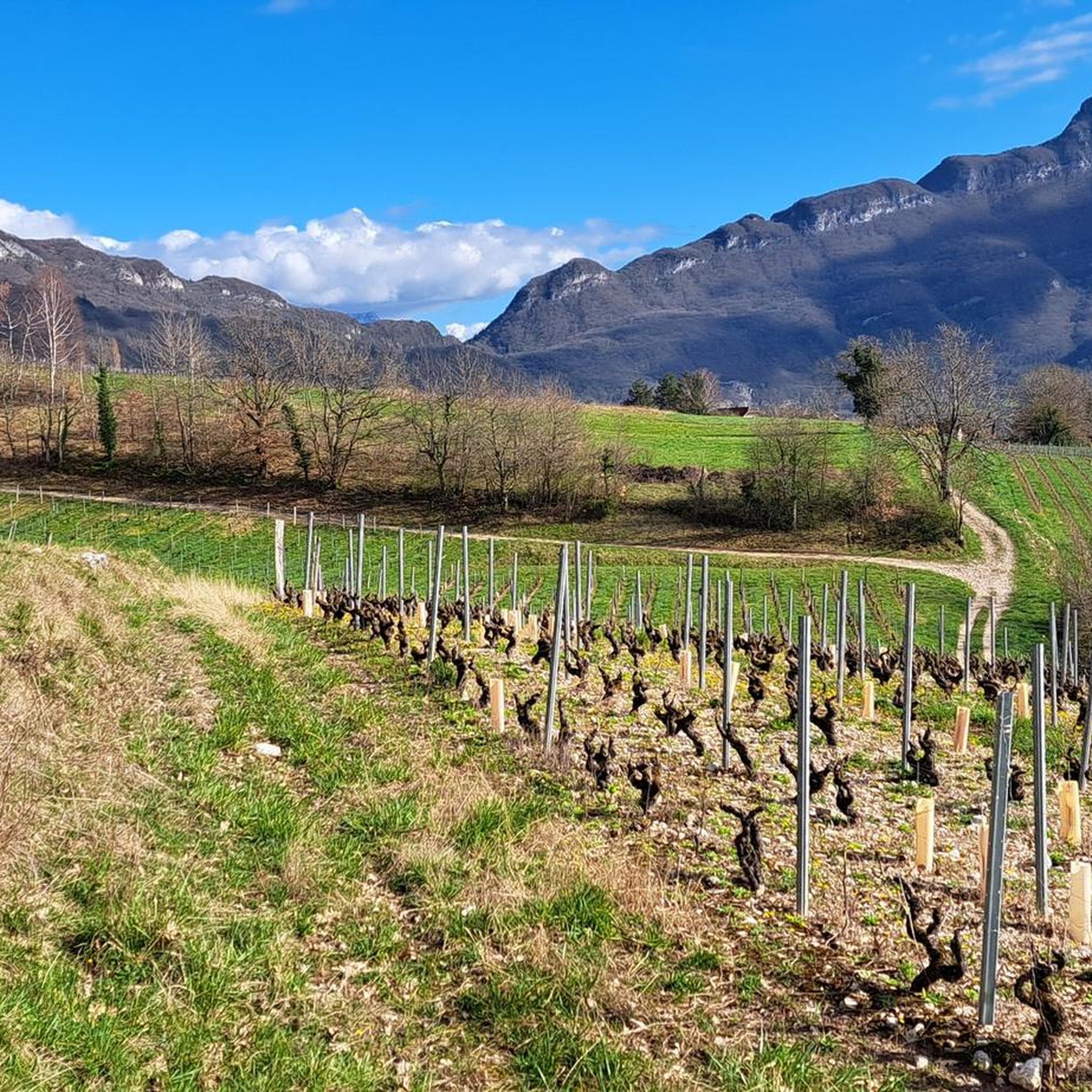
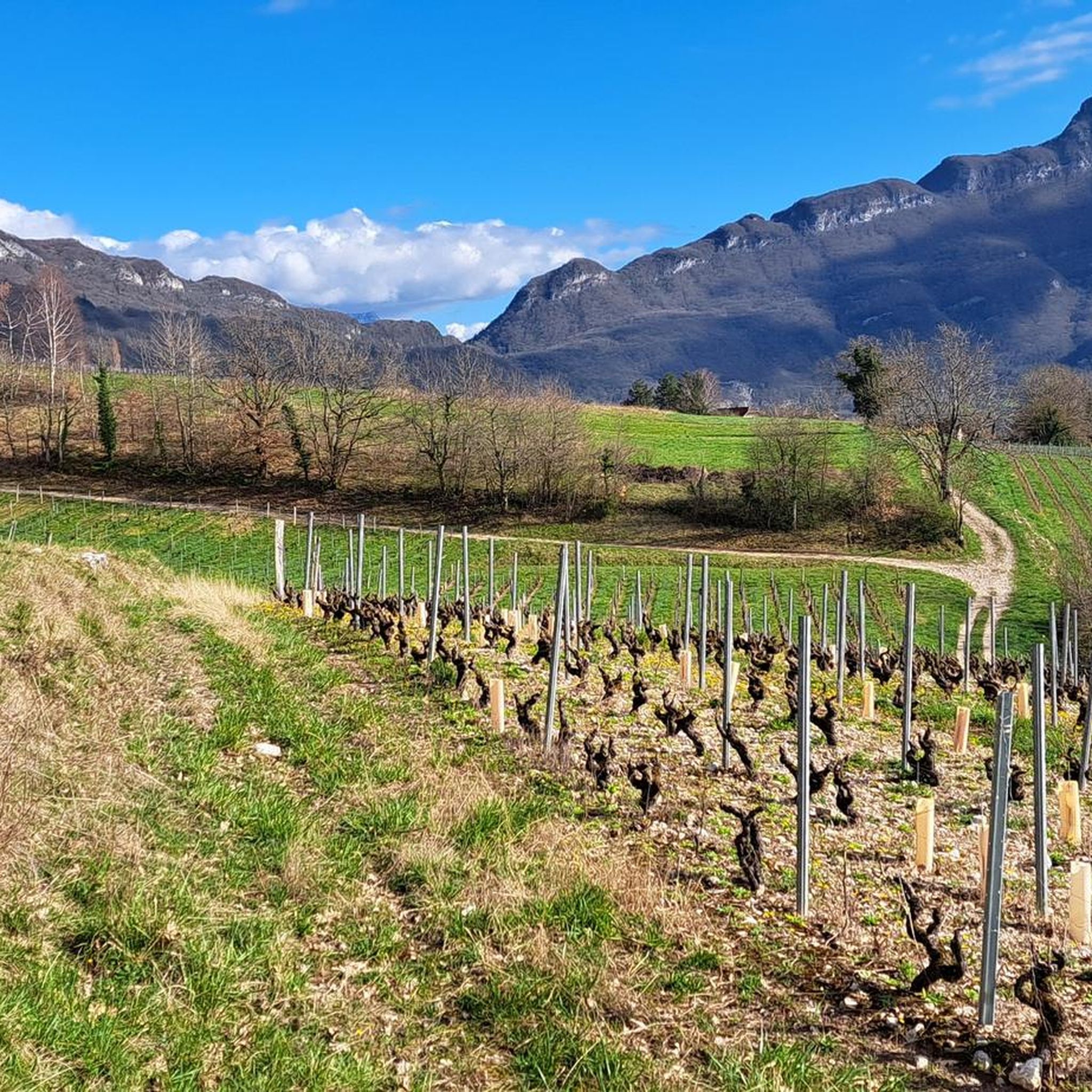
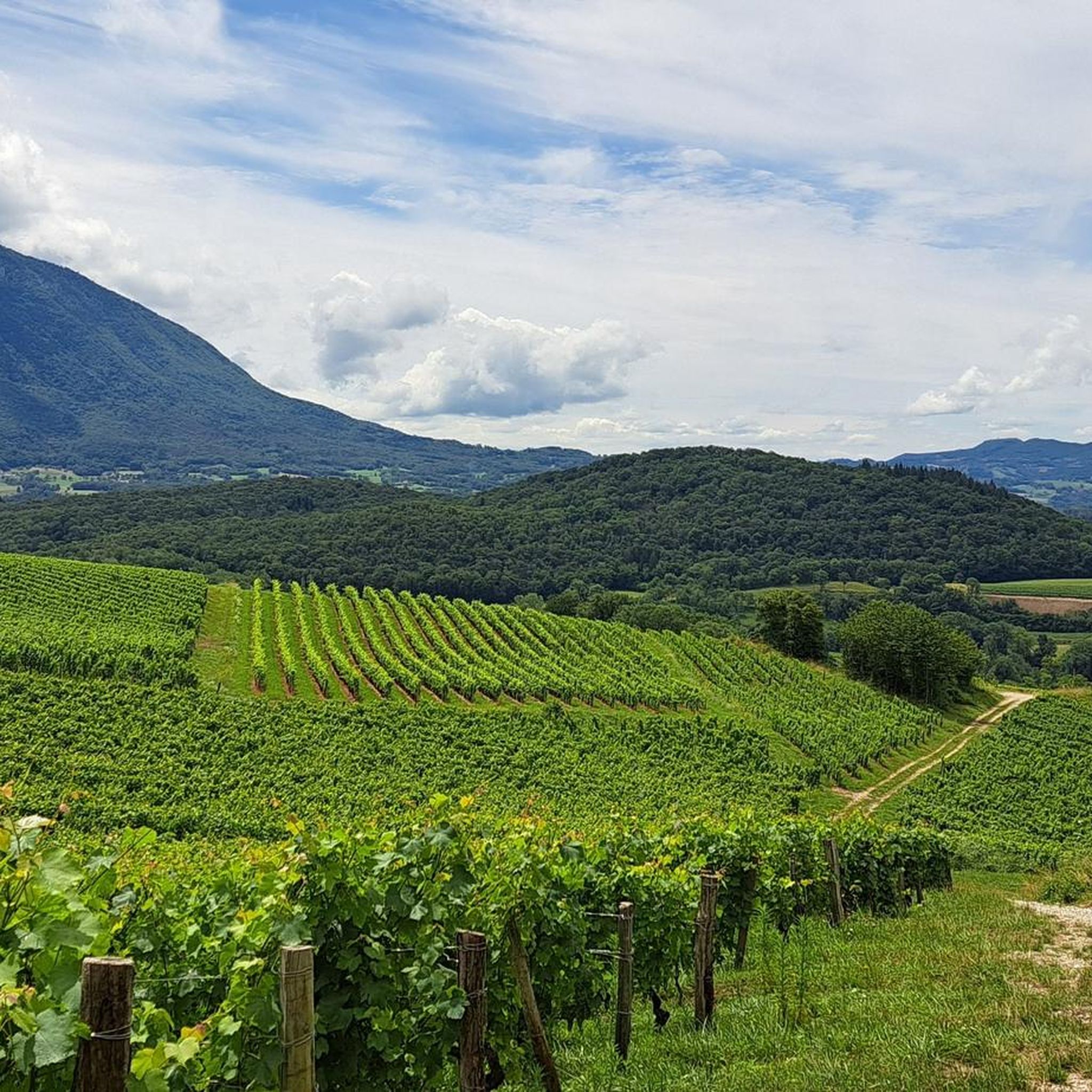
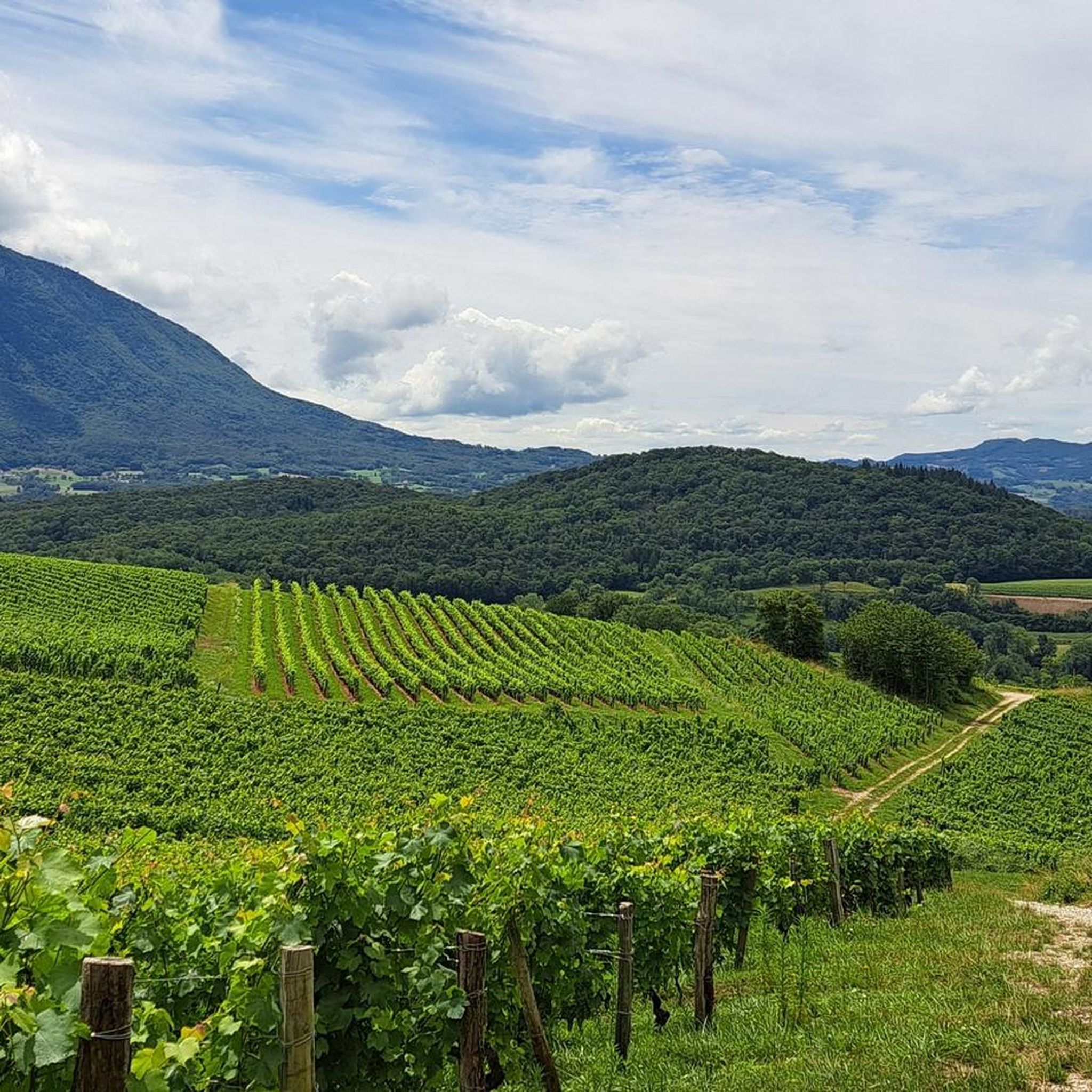
Yes, Billième is located in the heart of the Cru Jongieux, part of the Savoie wine region. Many trails traverse these vineyards, offering a unique opportunity to experience the viticultural heritage of the area. In autumn, these paths can also be great for foraging chestnuts and walnuts.
What is the best time of year to go hiking in Billième?
The spring and autumn months are often ideal for hiking in Billième, offering pleasant temperatures and beautiful scenery. Spring brings blooming flora, while autumn showcases vibrant foliage and opportunities for foraging. Summer is also popular, but higher altitudes provide cooler air. Winter hikes are possible, especially on lower-lying trails, but require appropriate gear and caution.
Is public transport available to reach hiking trailheads in Billième?
While Billième is a rural area, some local bus services might connect to nearby towns. However, for direct access to many trailheads, especially those higher in the mountains, personal transport is often more convenient. It's recommended to check local bus schedules for specific routes and times if relying on public transport.
Where can I park when hiking in Billième?
Parking is generally available at or near popular trailheads and in the village of Billième itself. Specific parking information can often be found on individual route descriptions on komoot. Always ensure you park in designated areas and respect local regulations.
What do other hikers enjoy most about the trails in Billième?
The hiking trails in Billième are highly rated by the komoot community, with an average score of 4.5 stars from over 1,100 reviews. Hikers frequently praise the diverse landscapes, from rugged mountain terrain and dense forests to picturesque lakeside paths and charming vineyards. The stunning panoramic views of Lac du Bourget and the surrounding mountains are also a consistent highlight.
Are there any family-friendly hiking trails in Billième?
Yes, Billième offers easy walks suitable for all skill levels, including families. These trails are generally shorter and have less elevation gain, making them enjoyable for children. Look for routes described as 'easy' on komoot for suitable options.
Can I hike to the Dent du Chat or Mont du Chat from Billième?
While Billième is protected by the mountains of La Charvaz and L'Epine, the iconic Dent du Chat and Mont du Chat are prominent features in the region. Trails like the Lamartine Cave – The Circuit loop from La Chapelle-du-Mont-du-Chat offer access to this area, providing spectacular views from these famous peaks.
Most popular routes around Billième
Most popular attractions around Billième

Get inspired with the komoot mobile app


Explore more
Browse the best Hikes in other regions.
