The best walks and hikes around Boiensdorf
4.6
(3006)
13,466
hikers
25
hikes
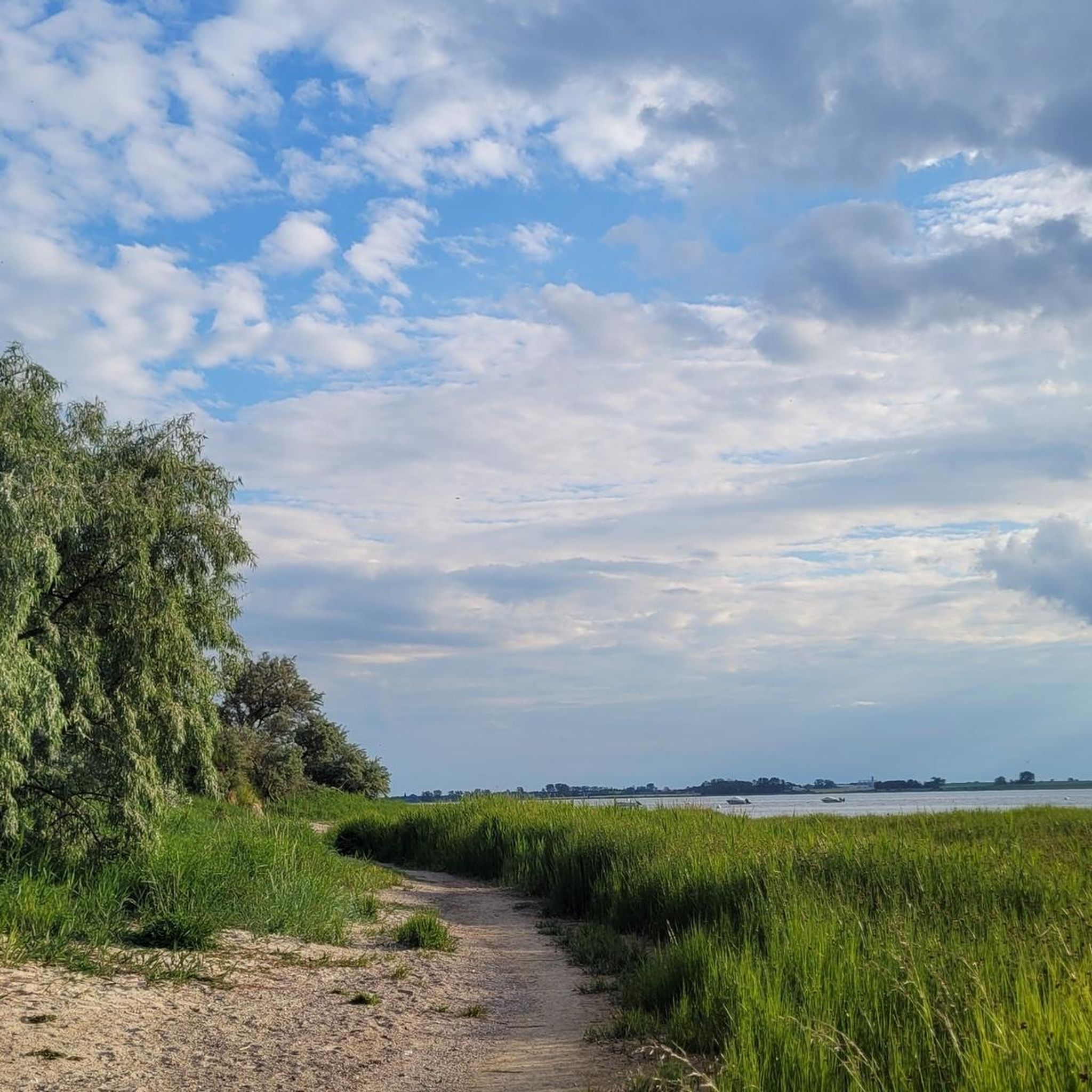
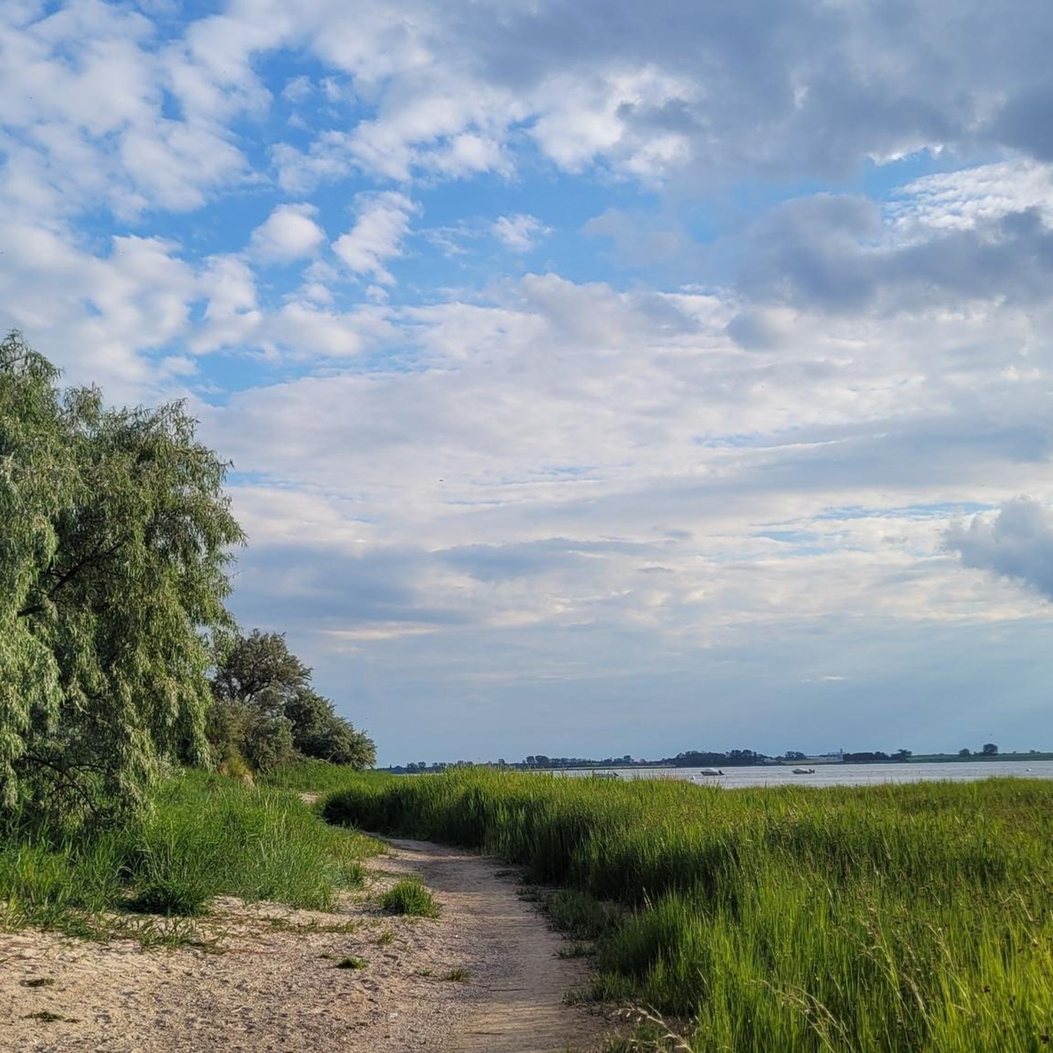
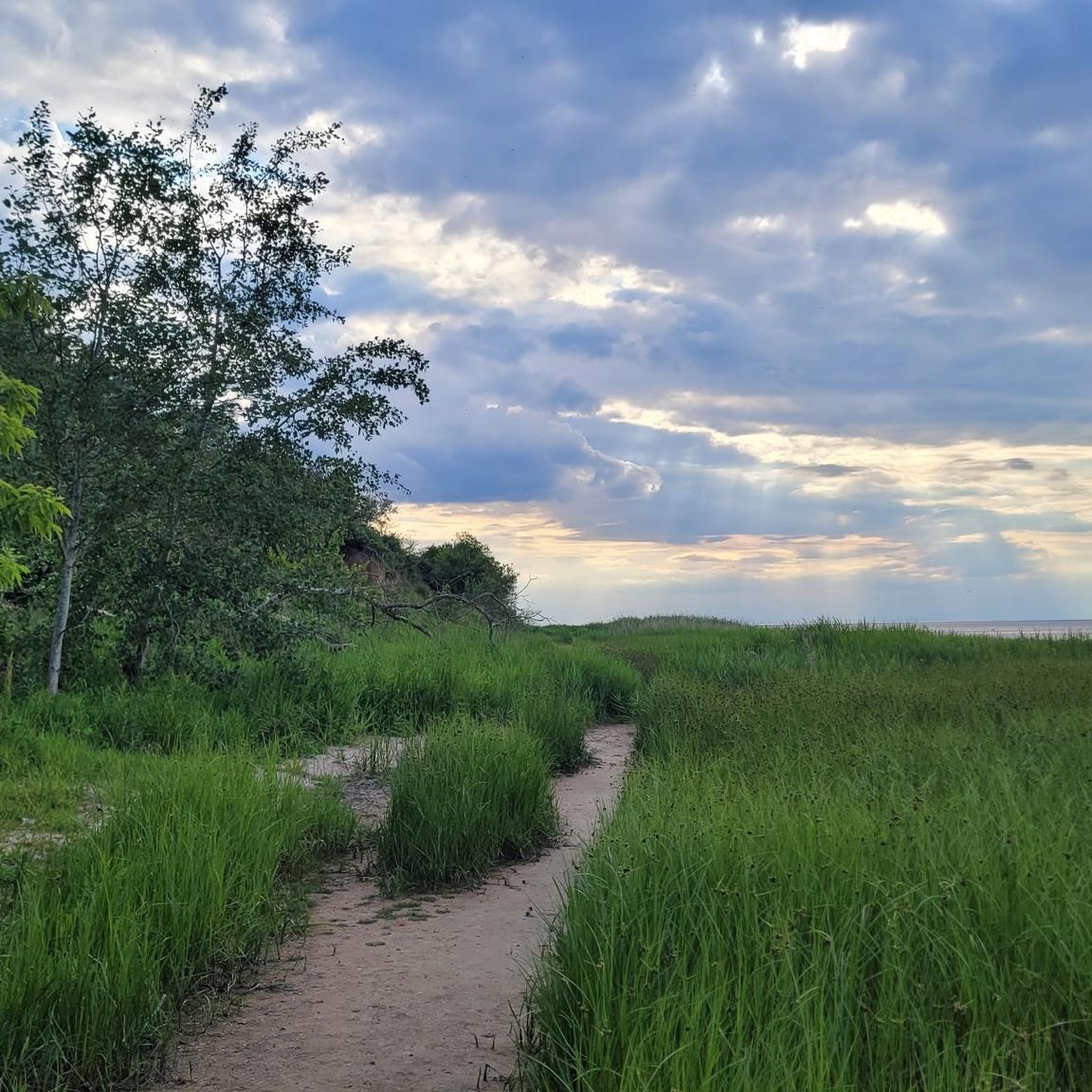
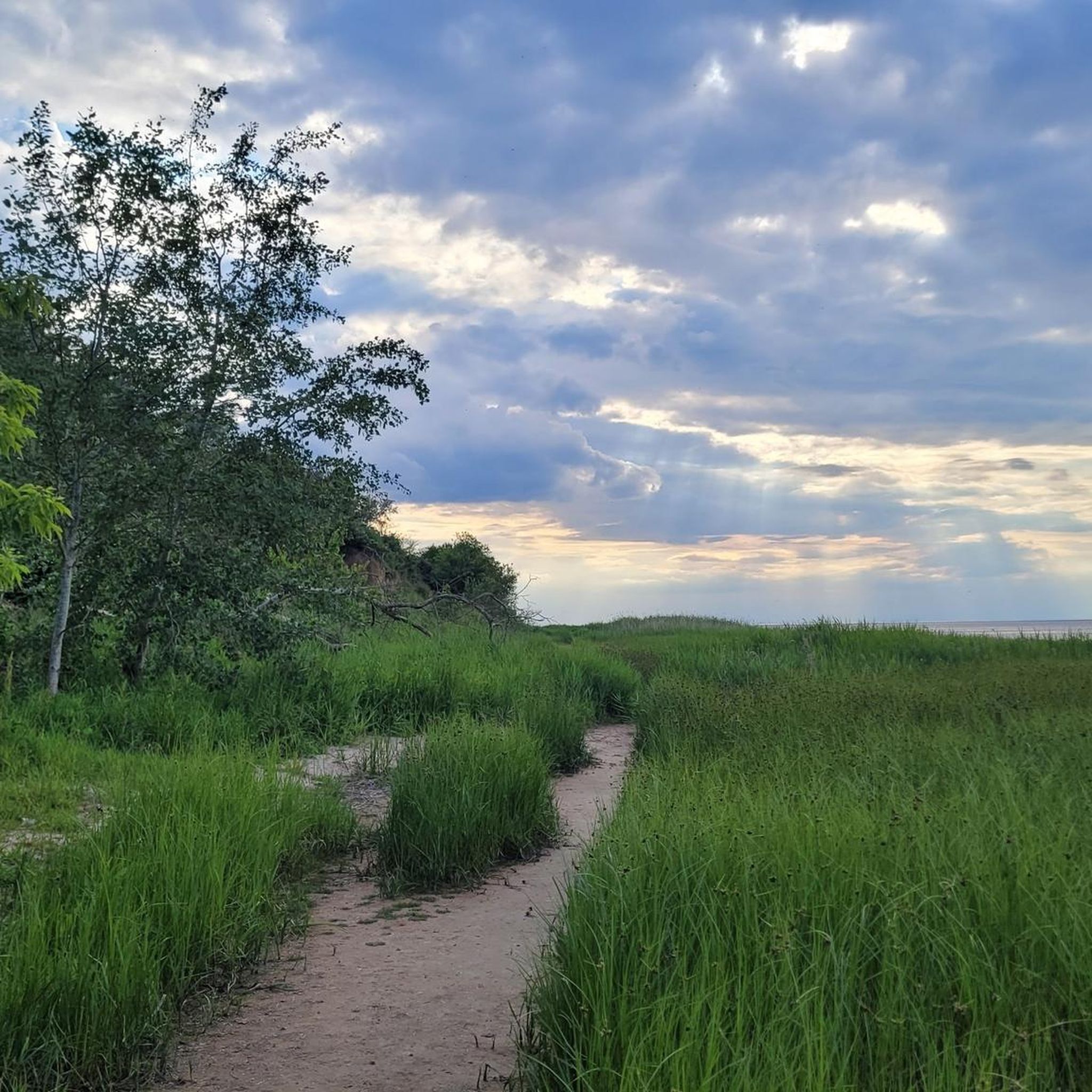
Hiking around Boiensdorf offers diverse landscapes along Germany's Baltic Sea coast, centered around the picturesque Salzhaff lagoon. The region features the Boiensdorfer Werder peninsula with its coastal cliffs and nature reserves, alongside varied inland terrain. Hikers can explore rolling hills, green meadows, and dense forests, providing a tranquil atmosphere for outdoor activities.
Best hiking trails around Boiensdorf
- The most popular hiking route is Coastal Path Through Shrubland – Entrance to the Salt Meadow loop from Insel Langenwerder, a 1.8…
Last updated: June 26, 2026
4.7
(24)
165
hikers
Easy hike. Great for any fitness level. Easily-accessible paths. Suitable for all skill levels.
4.6
(15)
54
hikers
Moderate hike. Good fitness required. Easily-accessible paths. Suitable for all skill levels.

Sign up for free
4.6
(15)
43
hikers
Easy hike. Great for any fitness level. Easily-accessible paths. Suitable for all skill levels.
4.7
(14)
58
hikers
Moderate hike. Good fitness required. Easily-accessible paths. Suitable for all skill levels.
3.8
(5)
39
hikers
Easy hike. Great for any fitness level. Easily-accessible paths. Suitable for all skill levels.
Get access to more routes and recommendations from other explorers.
Sign up for free
Already have an account?
Our route recommendations are based on thousands of hikes, rides, and runs completed by other people on komoot.
Start today with a free account
Your next adventure awaits.
Login or Signup
Tips from the Community

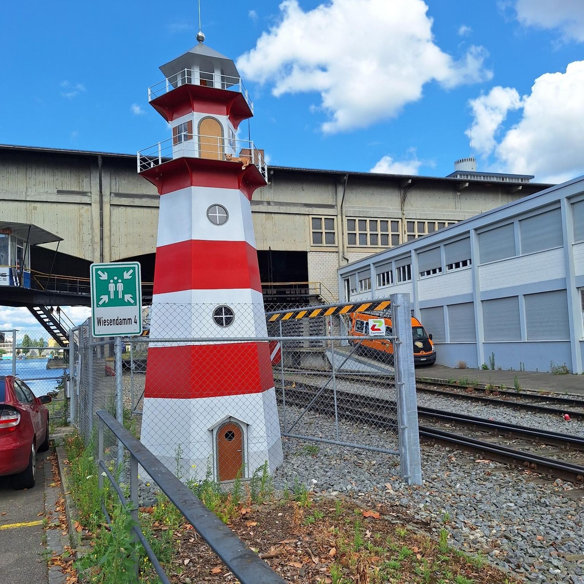
The pillar collapsed in winter (2025/2026). Unfortunately, this highlight no longer exists.
0
0

A very beautiful coastal hiking trail. Pure nature.
0
0

Beautiful path around the peninsula
0
0

HaffCamp Boiensdorfer Werder is truly "a dreamy nature campsite right on the water." The campsite is a mix of permanent campers, campers, and others traveling with tents. As cyclists, we really like the tent house, which has a shared kitchen and a room with lockers. The lockers are brilliant. There are small ones with power outlets where you can recharge various devices, large lockers, and, best of all, large lockers with small refrigerators inside. If you're a minimalist cyclist and want to camp here for several days, you'll be very well served. HaffCamp has very good washing facilities. What really sets the experience apart is the bar on the beach. The staff is great. The drinks are delicious. There's light food to tide you over between breakfast and dinner. If you treat yourself to a few rest days at HaffCamp, you'll have a relaxing experience by the sea.
2
0
The sand sculpture is still standing. 😅 Cool photo spot
2
0

We were able to watch seals. Soooo great
0
0

In the forest behind the manor house there is the "A...hole walking path" with some "cute" politicians in bronze. You can admire Erich (Honecker), Lenin, Khrushchev, Erdogan, George W. Bush and Donald Trump. On the left side are the owner of the manor house, the saxophonist Marita Gronau, and her partner Thomas Petsch, who sadly passed away in 2017.
1
0

Absolutely recommended! If it's baking day, then please drop anchor here!
1
0
Frequently Asked Questions
How many hiking trails are available in Boiensdorf?
Boiensdorf offers a diverse network of over 25 hiking trails, catering to various preferences and skill levels. You'll find options ranging from easy strolls to more challenging routes, with 12 easy, 12 moderate, and 1 difficult trail available.
What is the best time of year to go hiking in Boiensdorf?
The most enjoyable seasons for hiking in Boiensdorf are spring and autumn. In spring, the meadows and fields burst with vibrant blooming plants, while autumn transforms the landscape with colorful foliage, enhancing the scenic beauty of the trails.
Are there family-friendly hiking options in Boiensdorf?
Yes, Boiensdorf provides several suitable hiking routes for families with children. Many trails are easy, and the region often features nearby nature playgrounds where children can engage in various activities, making it a great destination for a family outing.
Can I bring my dog on the hiking trails in Boiensdorf?
While the region is generally welcoming to dogs, it's always recommended to keep your dog on a leash, especially in nature reserves like the Boiensdorfer Werder peninsula, to protect local wildlife. Please also ensure you clean up after your pet.
Are there any circular hiking routes in Boiensdorf?
Yes, Boiensdorf offers several circular routes that allow you to start and end your hike at the same point. A popular moderate option is the Entrance to the Salt Meadow – Coastal Path Through Shrubland loop from Boiensdorf, which explores the coastal landscape. For a shorter, easy loop, consider the Coastal Path Through Shrubland – Entrance to the Salt Meadow loop from Insel Langenwerder.
What kind of terrain can I expect on the hiking trails around Boiensdorf?
Boiensdorf's hiking terrain is quite diverse. You'll encounter coastal paths with continuous sea views, often featuring cliffs up to 8 meters high on the Boiensdorfer Werder peninsula. Inland, trails wind through rolling hills, green meadows, and dense forests, offering a tranquil atmosphere.
What natural features or landmarks can I see while hiking in Boiensdorf?
The region is rich in natural beauty. You can explore the unique ecosystem of the Salzhaff lagoon, with its salt marshes and coastal paths. The Timmendorf Cliffs offer dramatic views, and the View from the Kuhberg over the Salzhaff and the Wustrow Peninsula provides a stunning panorama. The Buk Lighthouse also offers impressive views over the coastal landscape.
Is there parking available near the hiking trails in Boiensdorf?
Yes, parking is generally available at common starting points for hiking trails in and around Boiensdorf. Specific parking information can often be found on individual route descriptions or local signage.
What do other hikers enjoy most about hiking in Boiensdorf?
The hiking trails in Boiensdorf are highly rated by the komoot community, with an average score of 4.3 stars from over 180 reviews. Hikers frequently praise the diverse landscapes, from the unique Salzhaff lagoon and coastal paths to the peaceful inland forests and meadows. The well-maintained trails and scenic views are often highlighted as key attractions.
Are there opportunities for wildlife spotting in Boiensdorf?
Absolutely. The Boiensdorfer Werder peninsula, with its designated nature reserve, is a haven for wildlife. Bird watching is particularly popular, especially around the salt marshes and the Salzhaff lagoon, where you can observe various bird species in their natural habitat.
Can I access hiking trails in Boiensdorf using public transport?
While some areas might have limited public transport connections, it's advisable to check local bus schedules or regional transport options in advance. Many trails are more easily accessible by car, especially those leading to more secluded natural areas.
Are there any longer, more challenging hikes in the Boiensdorf area?
Yes, for those seeking a longer adventure, there are moderate to difficult routes available. An example of a longer moderate trail is the Haffcamp Campsite – Entrance to the Salt Meadow loop from Insel Langenwerder, which covers nearly 16 kilometers and offers extensive views of the coastal landscape.
Most popular attractions around Boiensdorf

Get inspired with the komoot mobile app


Explore more
Browse the best Hikes in other regions.
